Note: On dirt roads, road conditions can change constantly. Therefore, we strongly recommend that everyone check the road conditions before each trip. We do not recommend driving on unpaved roads before, during or shortly after rain or snowfall.
Coordinate: Western end of Kebler Pass: Latitude 38.941359, Longitude -107.362850 Junction between Kebler and Ohio Pass: Latitude 38.852698, Longitude -107.097513 Eastern end of Kebler Pass: Latitude 38.867936, Longitude -106.989051
Our visits: So far 1 visit in October 2018
Kebler Pass
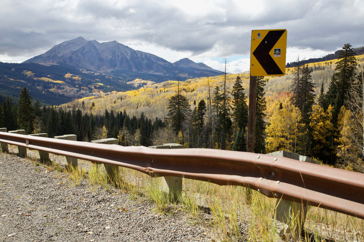
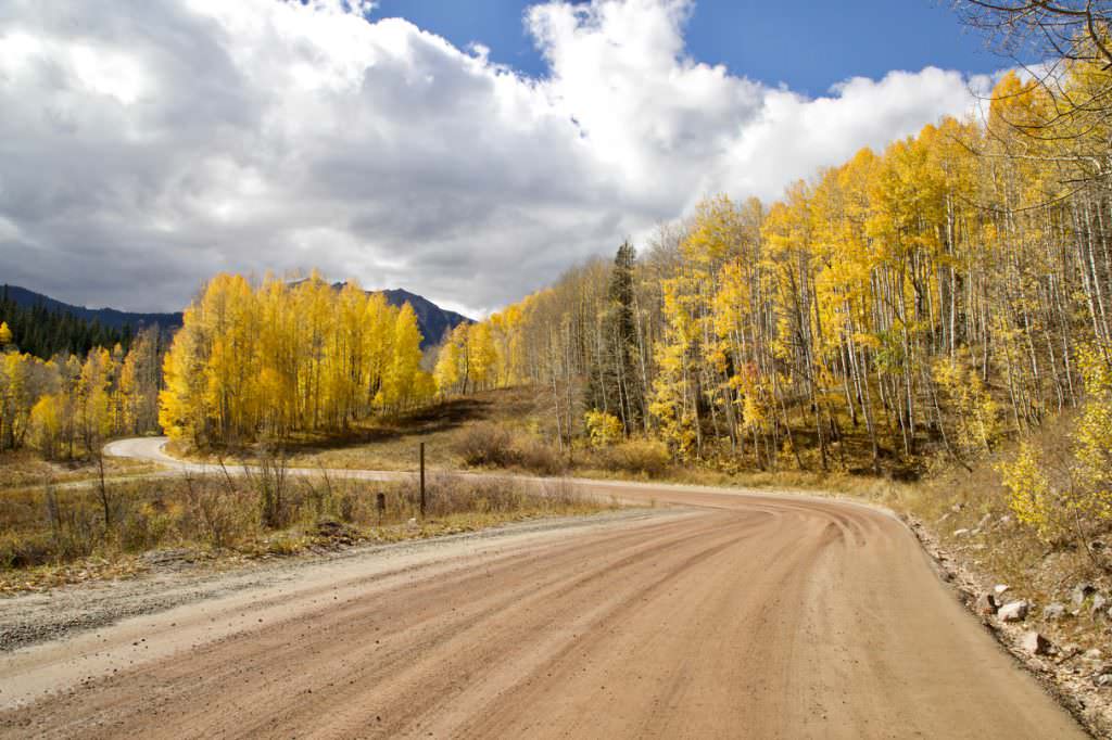
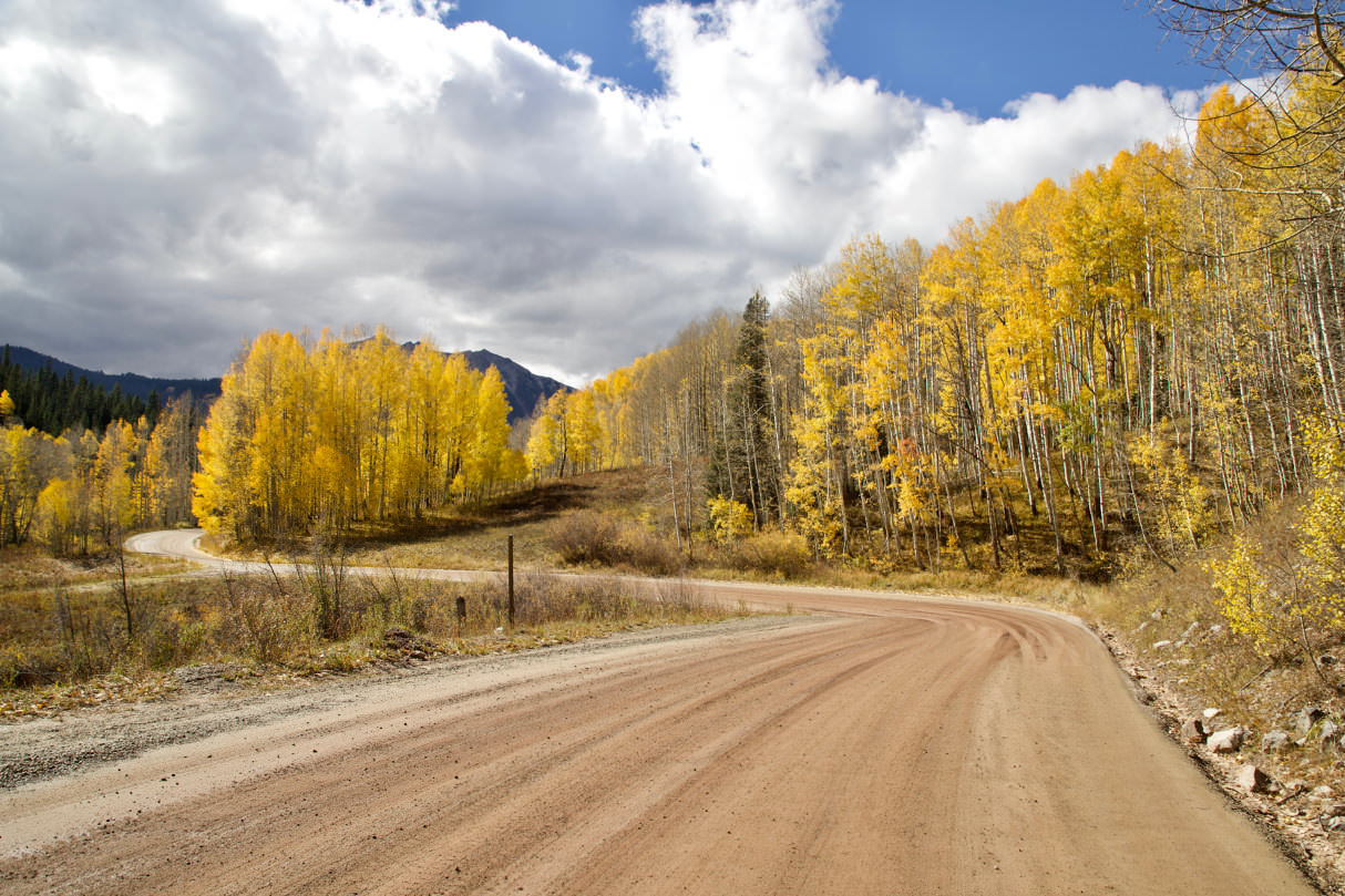
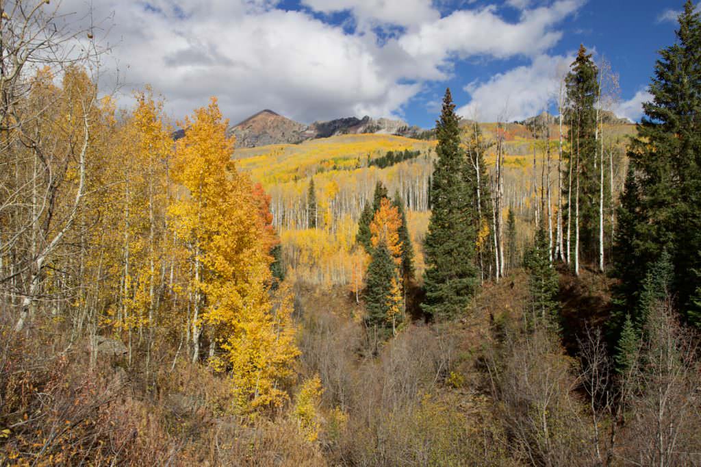
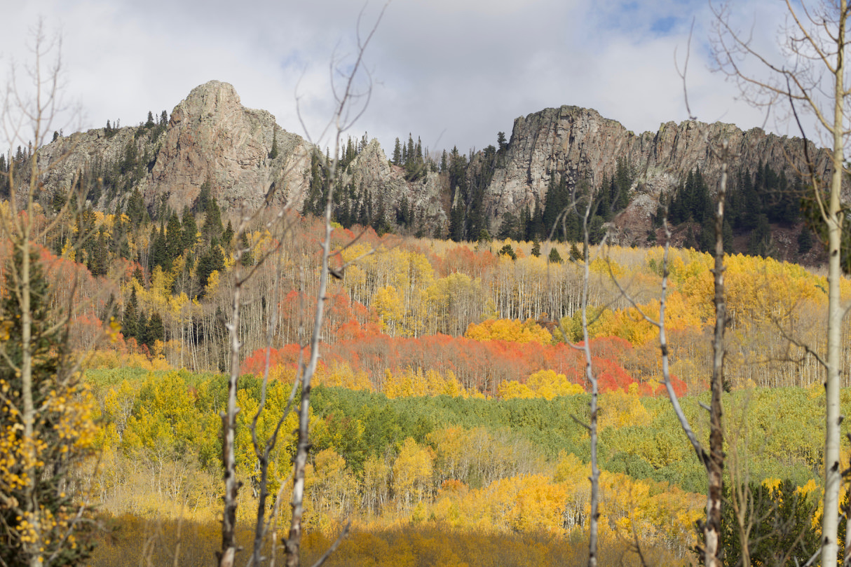
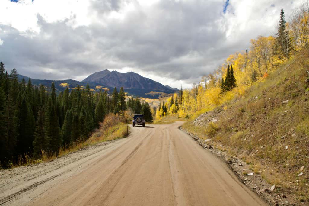
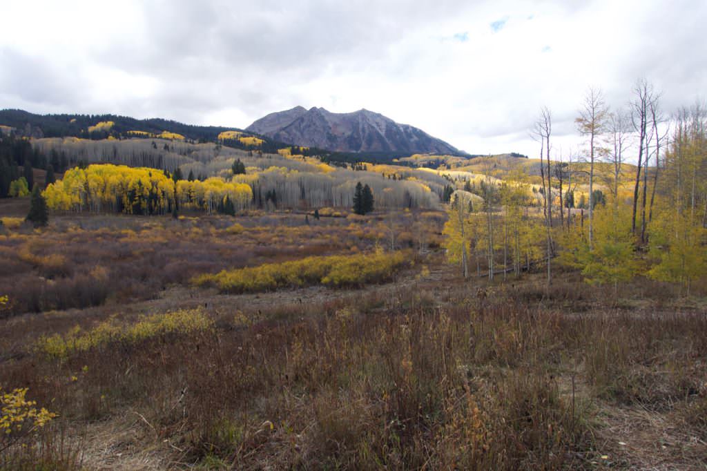
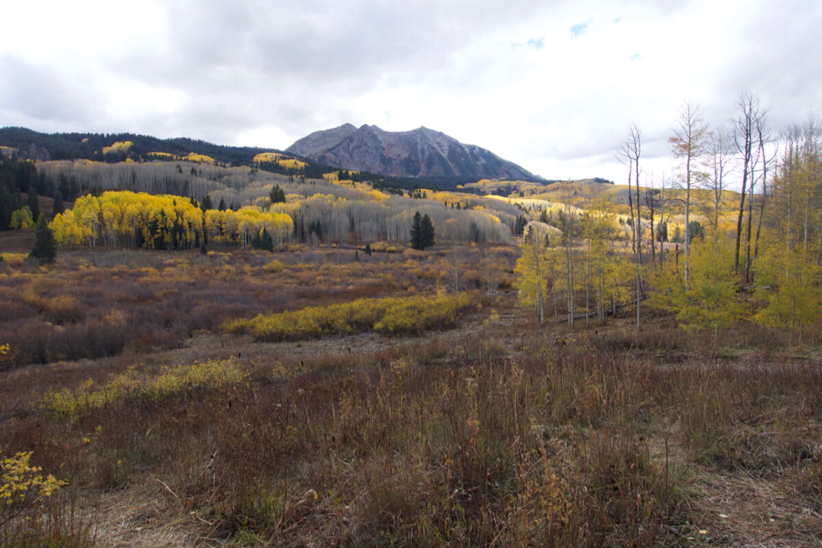
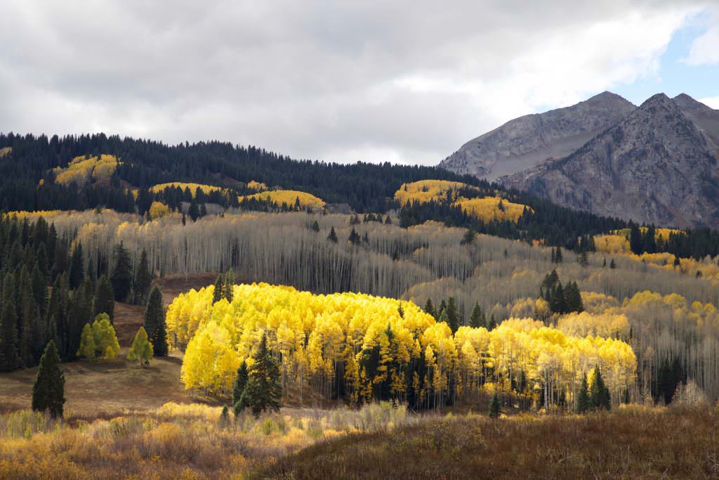
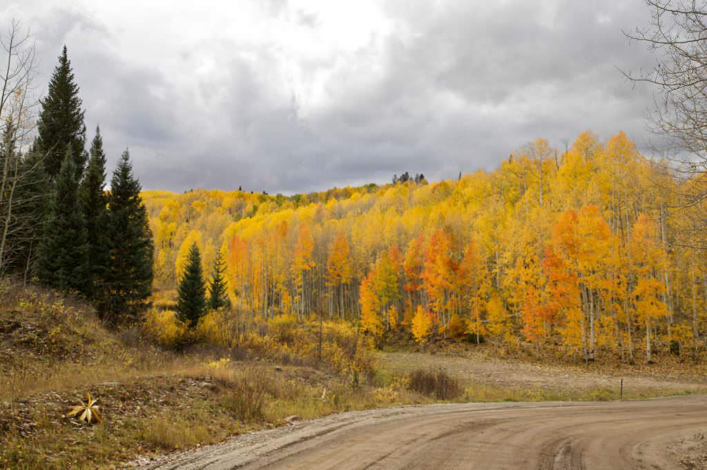
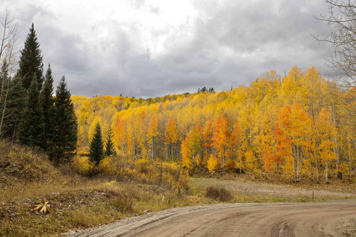
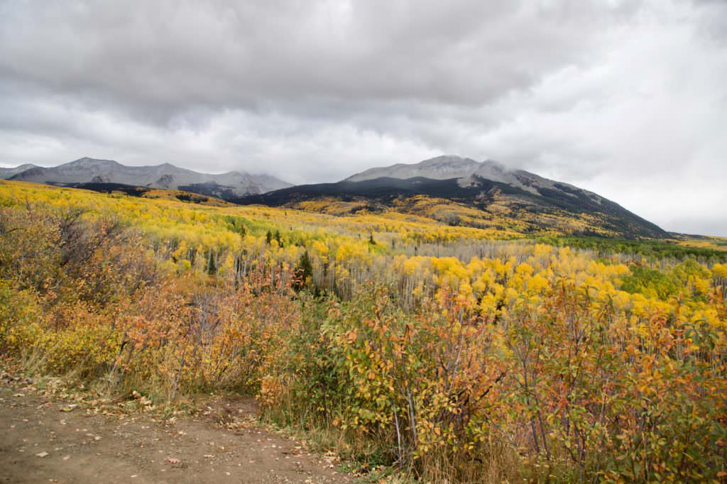
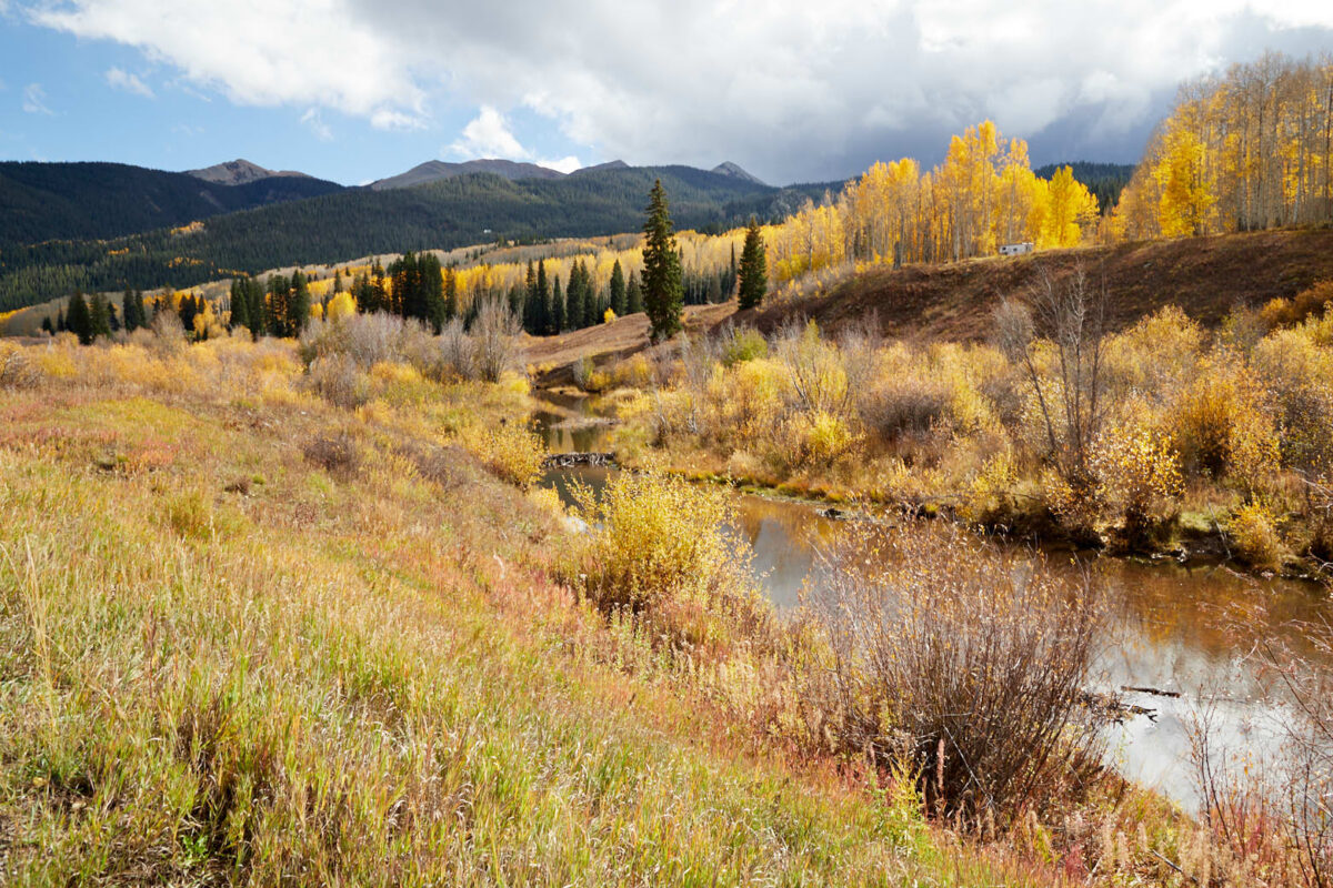
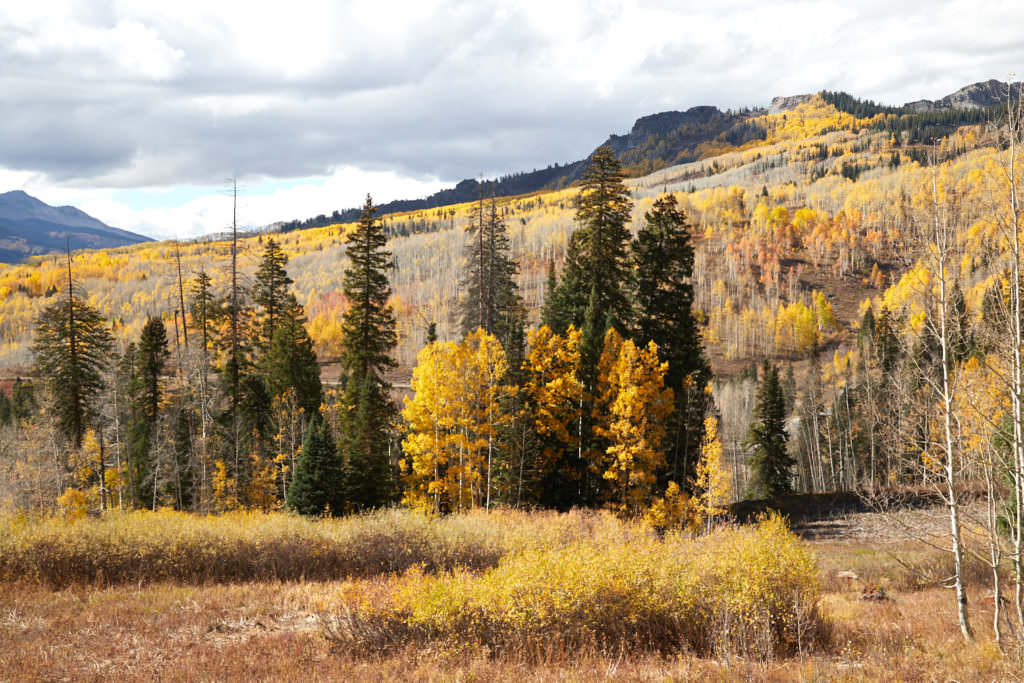
Description: Kebler Pass is a mountain pass that connects Highway 12 with the town of Crested Butte. The route is unpaved from the west until just before the junction with Ohio Pass. The stretch to Crested Butte is about 31mi, to the junction with Ohio Pass about 23.6mi. The road was passable during our visit. It would have been probably also possible with a passenger car.
Our rating: Especially in autumn a very rewarding route. We drove it in October 2018. It had rained the days before, but the road was still good to drive. In our opinion, such routes are especially attractive because of the autumn colors.


