Coordinate: Parking lot: Latitude 37.085965, Longitude -111.891538 Calypso: Latitude 37.083909, Longitude -111.889201 Alkoven: Latitude 37.083780, Longitude -111.889602 Sandstone columns: Latitude 37.085007, Longitude -111.885939
Our visits: So far 1 visit in October 2018
Hike
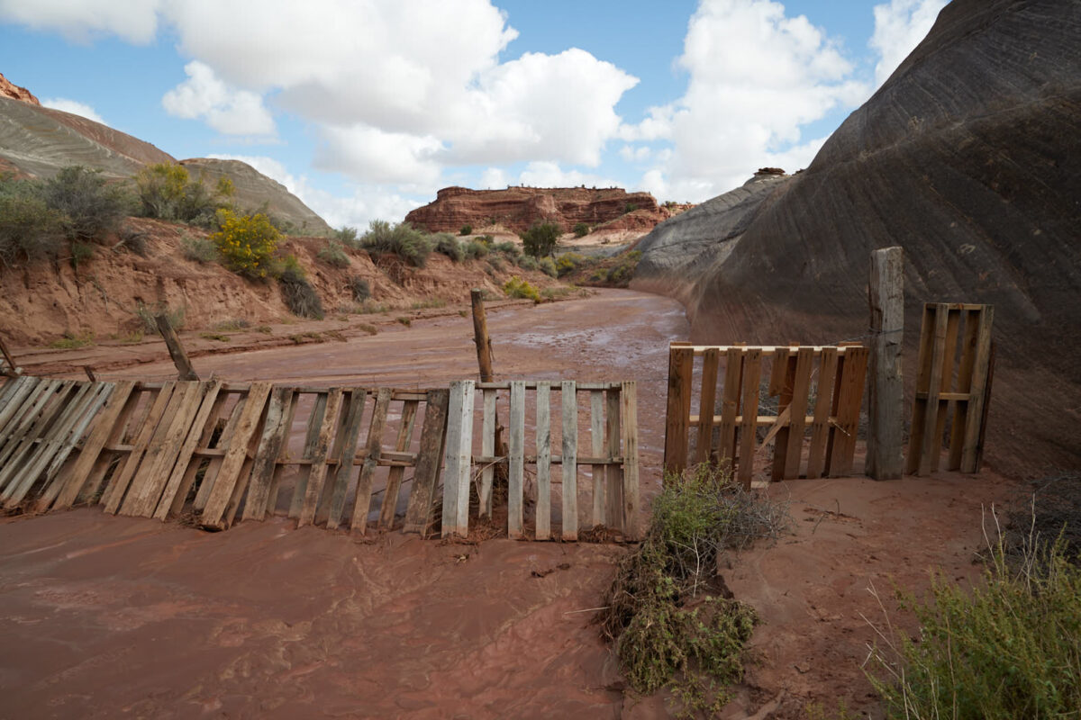
Wash
Hike
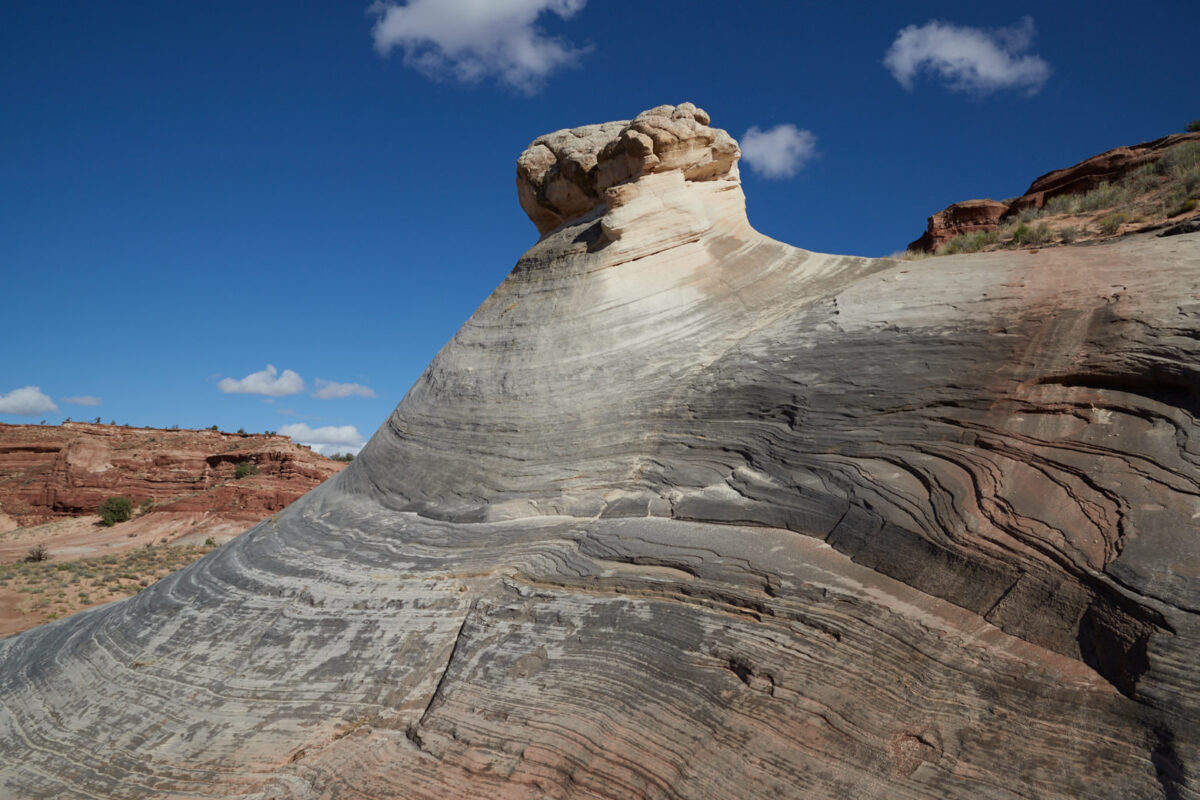
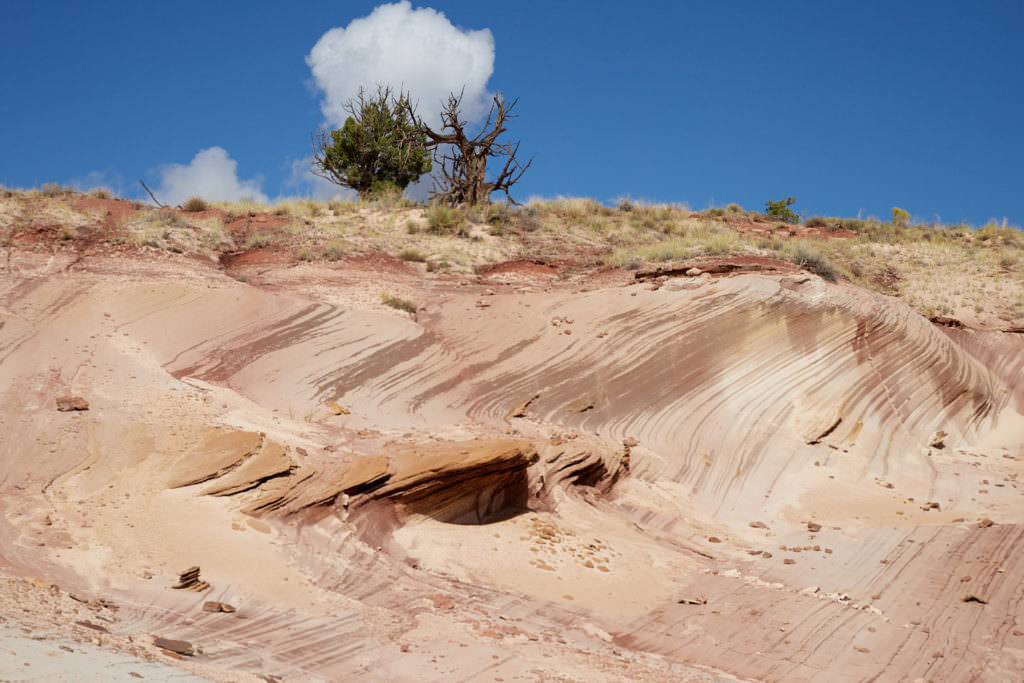
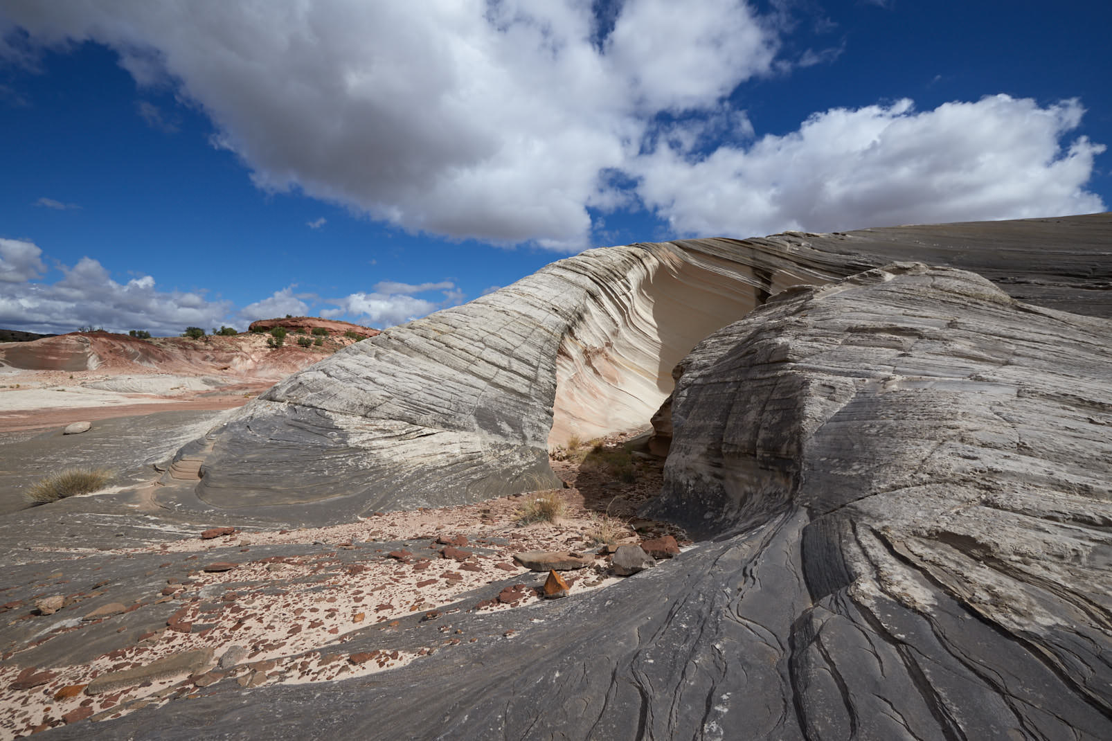
Prominent rock formation for the climb
Hike
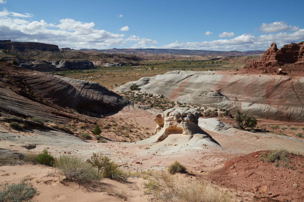
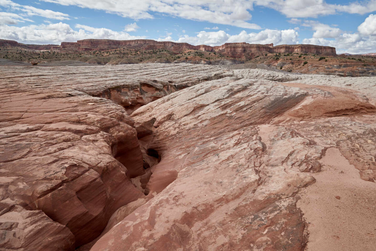
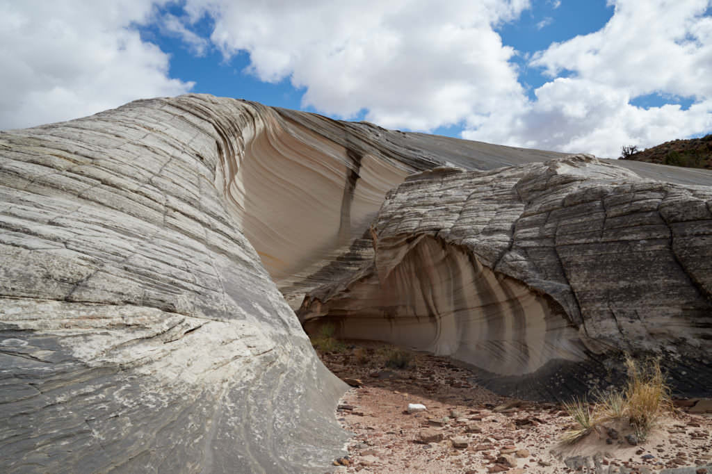
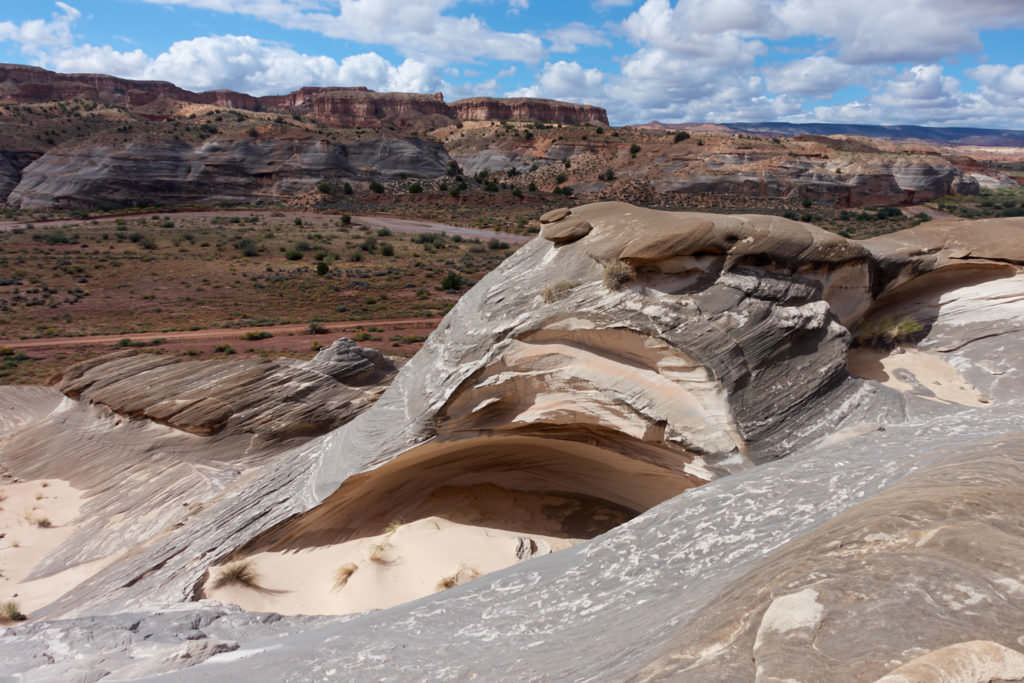
The distinctive rock from above
Hike
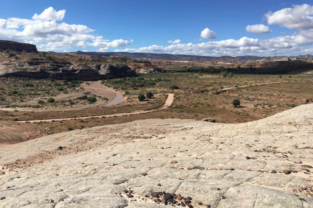
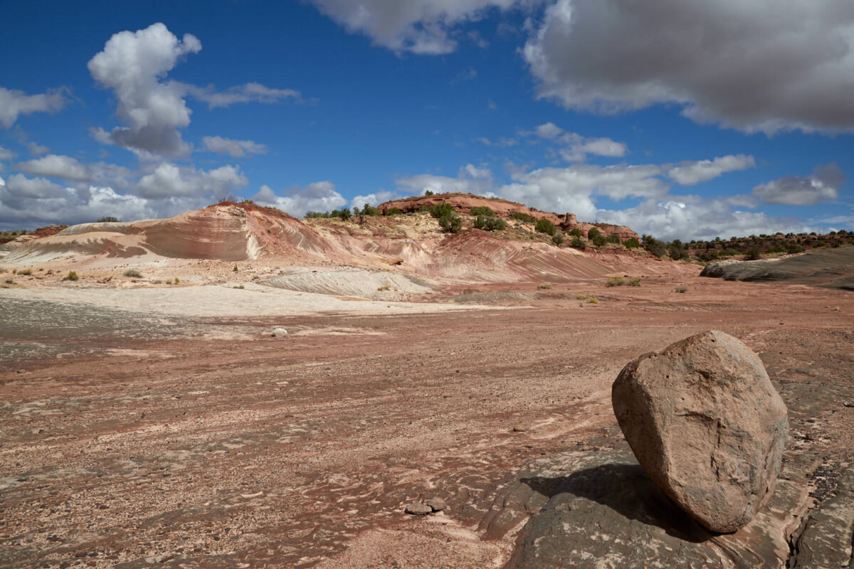
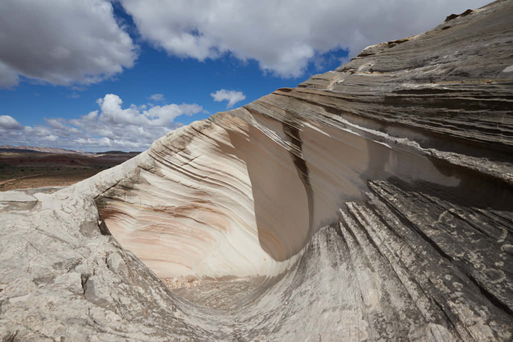
View from the plateau to the parking lot
Hike
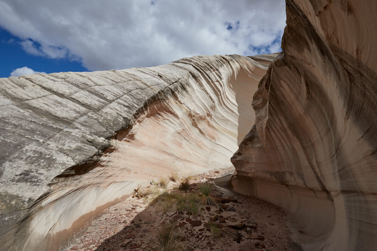
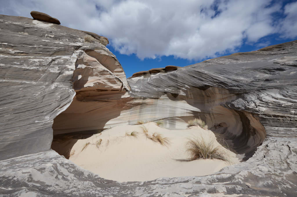
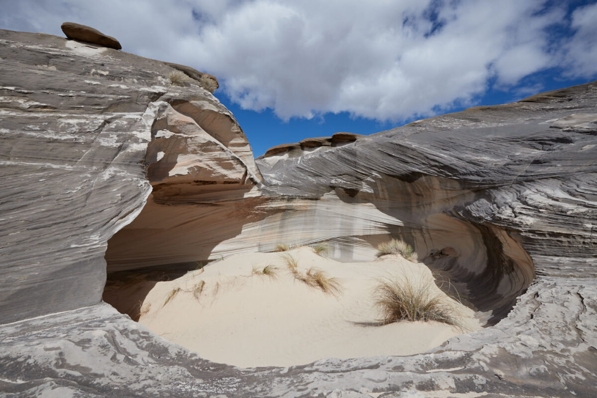
Small slot just before reaching Calypso
Hike
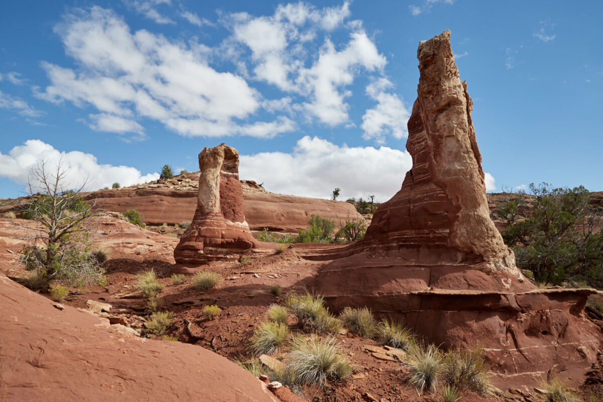
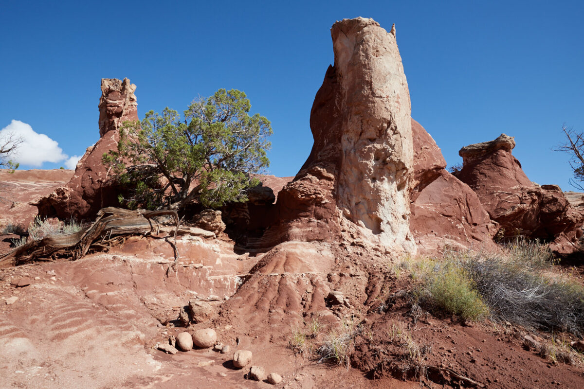
Turn right here to see the red stone pillars
Hike
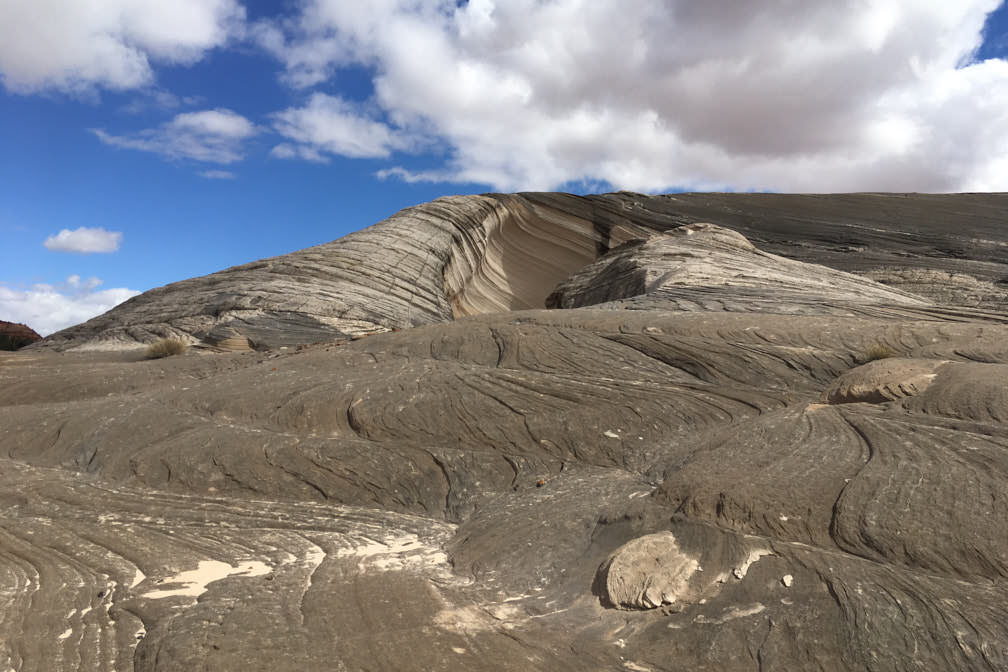
View back. Left around the rock we return to the parking lot, right we go to the red sanstone pillars and hoodoos
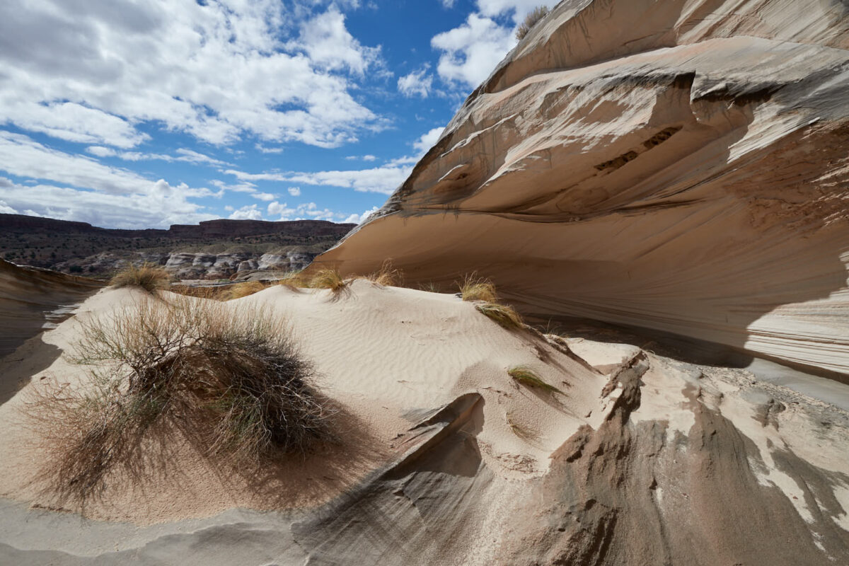
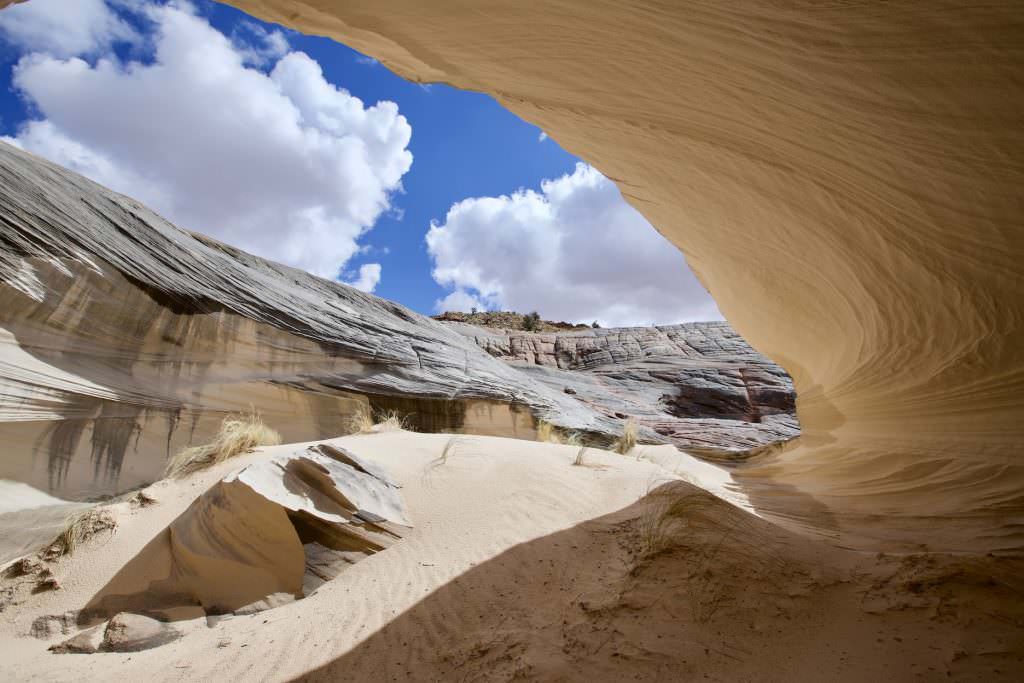
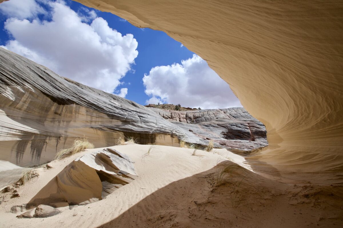
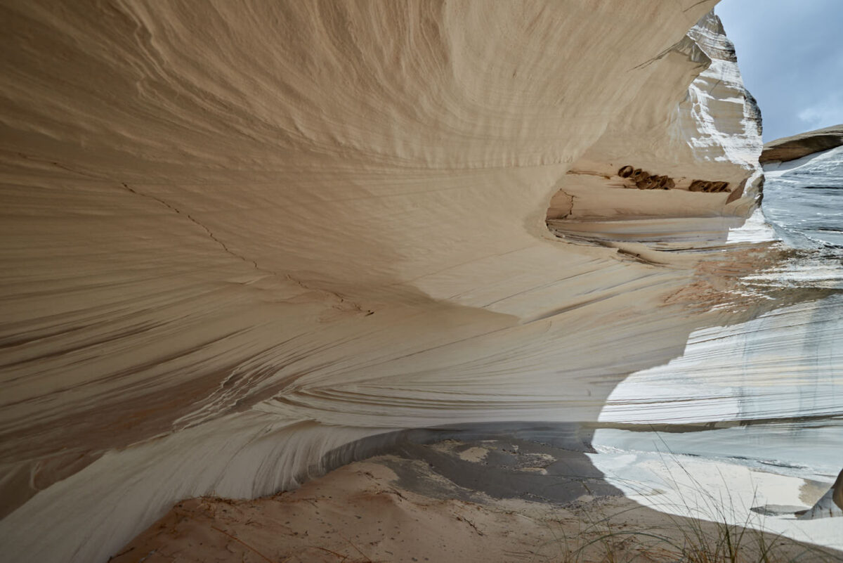
Calypso
Calypso
Calypso
Calypso
Calypso
Calypso
Description of how to get there: The drive to Calypso is the same as to Nautilus. First, coming from Page, drive 30mi west on Highway 89. Then, at the Paria Contact Station, turn left onto White House Road. Follow this unpaved road for about 1.5mi. Park before or after the wash directly on White House Road.
Hike Description: Follow the wash for about 1150ft in eastern direction. Here you climb out of the wash to the right onto a slightly higher level. You can see a prominent rock on top of the sandstone cliff. On the right of this rock, the trail climbs up. The place is steep, but the sandstone is grippy and so it is basically no big problem to get to the top.
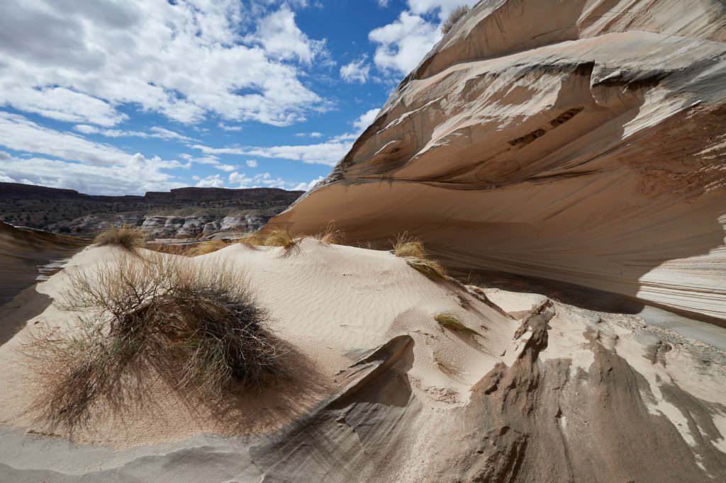
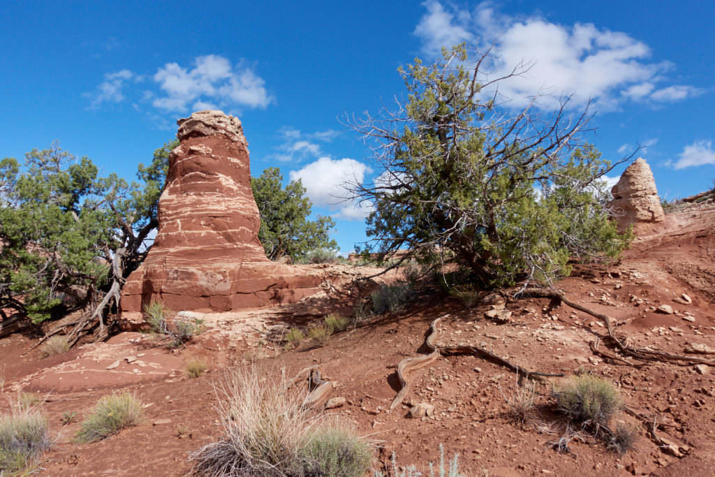
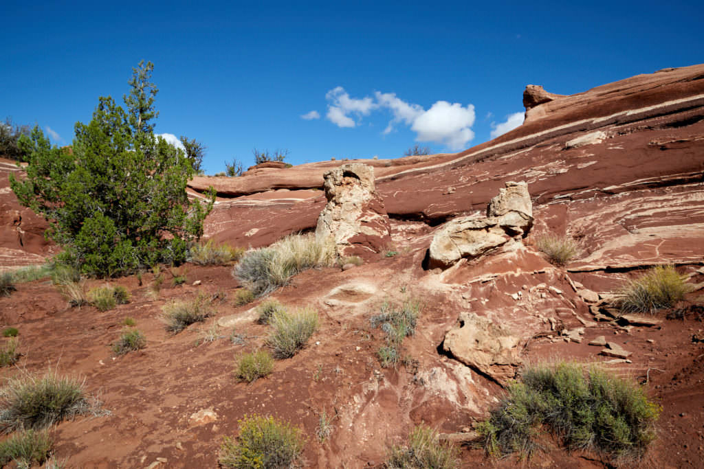
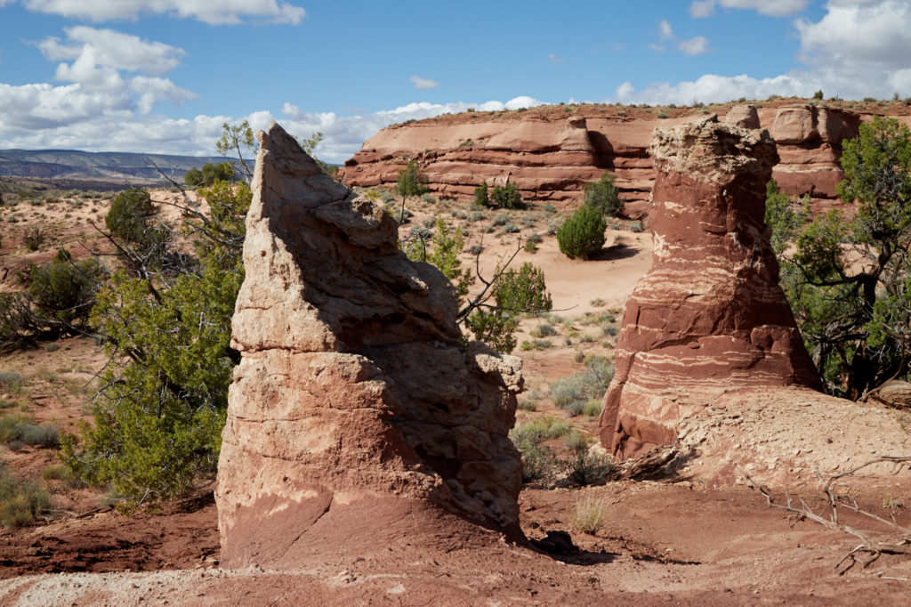
At the top you hike along the rock in a westerly direction back towards White House Road. You reach a stone plateau. On this plateau you hike a few 100yd in southern direction until you reach Calypso (left). This stone formation reminds very much of the Nautilus and because we did not find any information about it anywhere on the net, we named the formation Calypso (after the research ship of Jacques-Yves Cousteau). Besides Calypso there is a lot more to discover on the plateau. Opposite, directly at the rock edge, you can find another great snow-white alcove. The descent here is also very steep, but because of the grippy sandstone quite manageable. Another feature can be found a little east of Calypso. Here are some nice stone pillars and hoodoos made of red sandstone. We visited Calypso and the surrounding area in October 2018.
Trail length: 1mi oneway Altitude difference: 272ft Time needed: 2-3 hours Difficulty level:moderate - The trail is sometimes very steep.
Our rating: : During the research for our vacation in October 2018, I had found a few interesting structures that looked similar to the Nautilus in the satellite view. Actually, we didn't really expect to actually find anything, but we were lucky and there really was a rock formation similar to the Nautilus at the spot in question. While roaming around on the plateau we discovered the great alcove and a few stone pillars and hoodoos. We moved only in a relatively small radius, but possibly there is more to be found up here. We’re certainly not the first people to have ever been up here, but since we couldn’t find any information about it online, we felt like little explorers. You can hike the entire way up on the sandstone to minimize your impact on the environment!!!
☆☆☆☆☆Rated 4 out of 5
Note: On dirt roads, road conditions can change constantly. Therefore, we strongly recommend that everyone check the road conditions before each trip. The most current information is usually available on the BLM website in Escalante. GSENM-Road-Condition-Report


