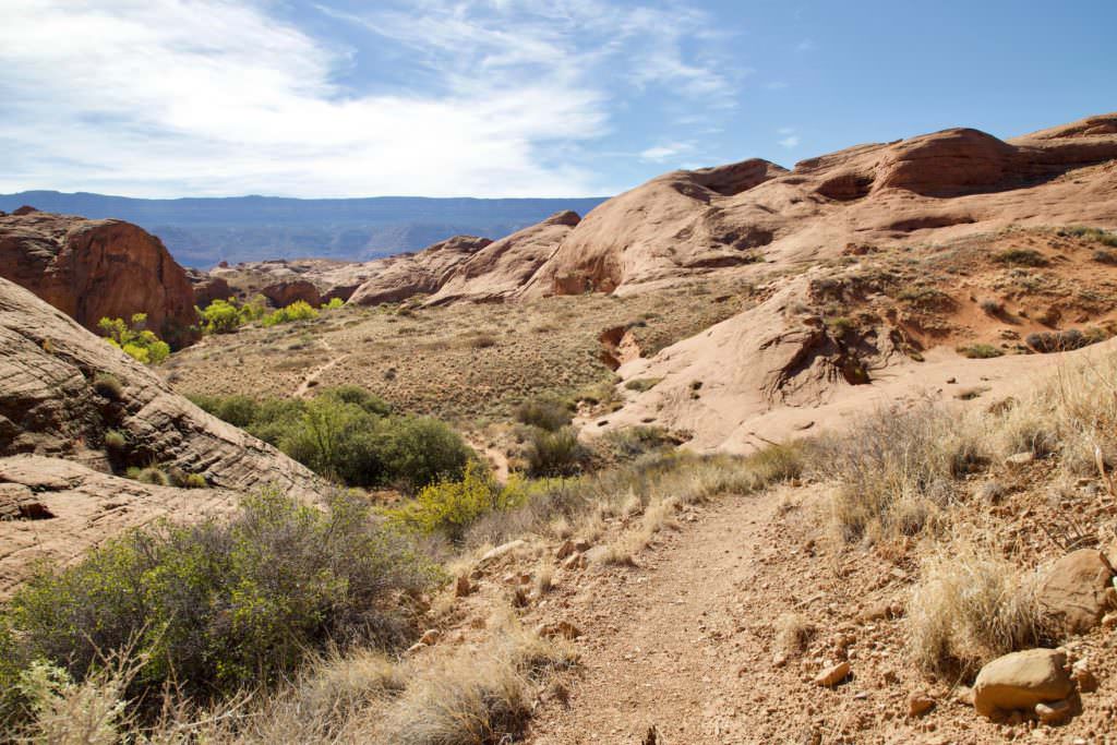
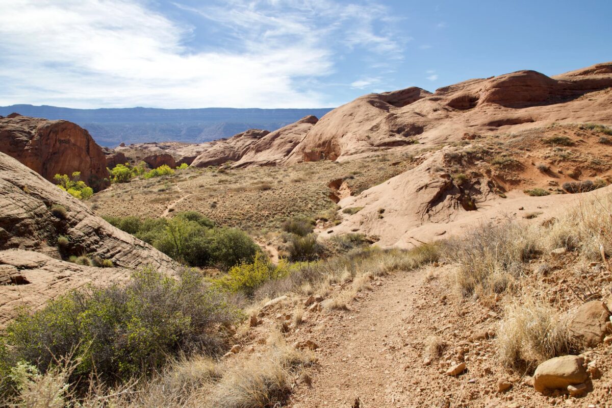
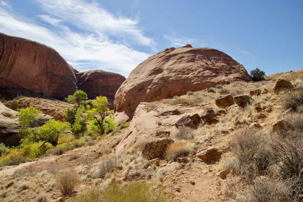
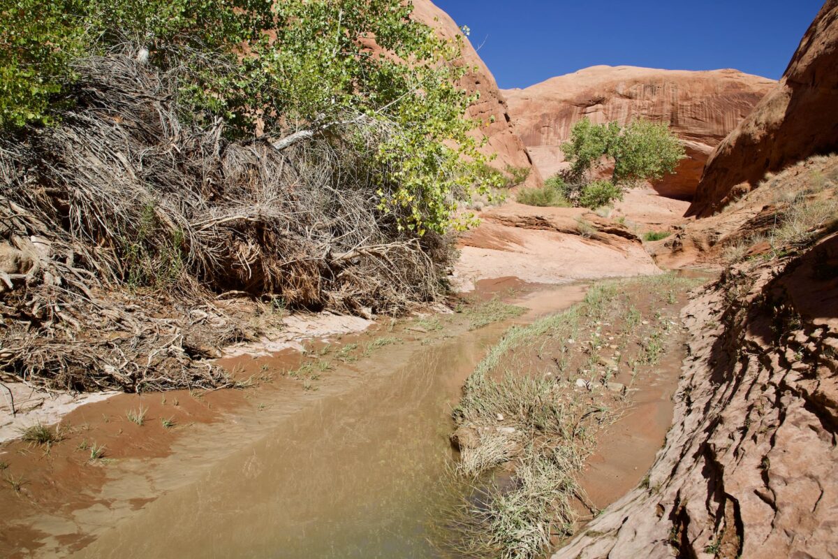
Sand Dune and Willow Gulch (on the right side of the picture)
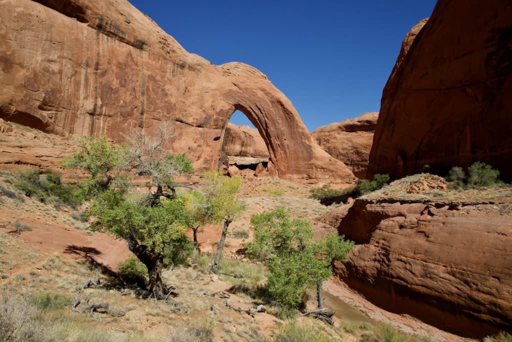
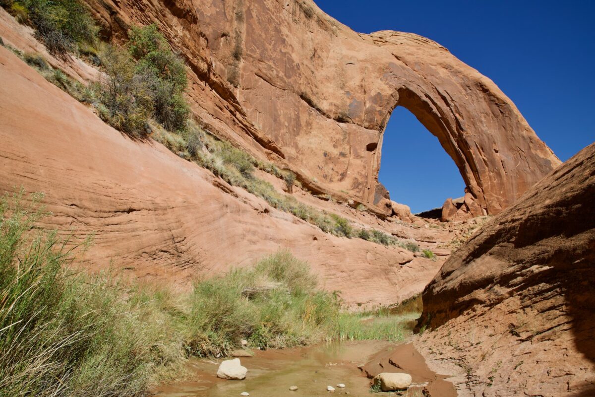
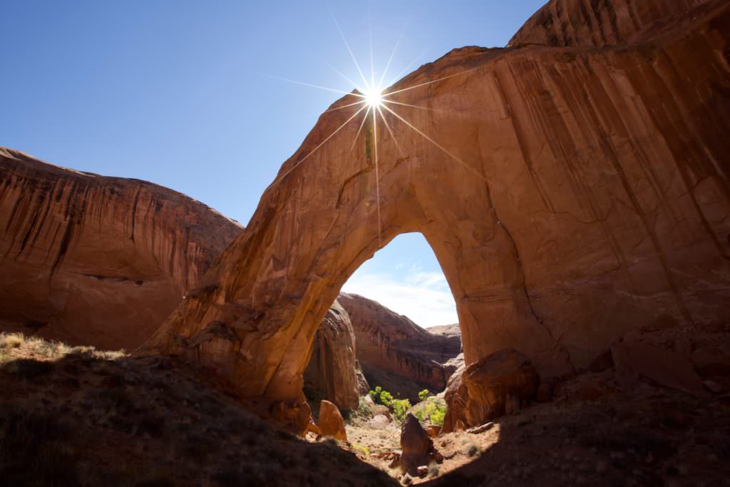
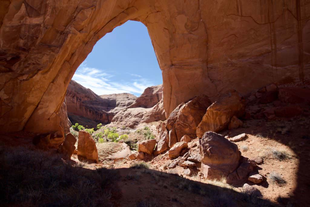
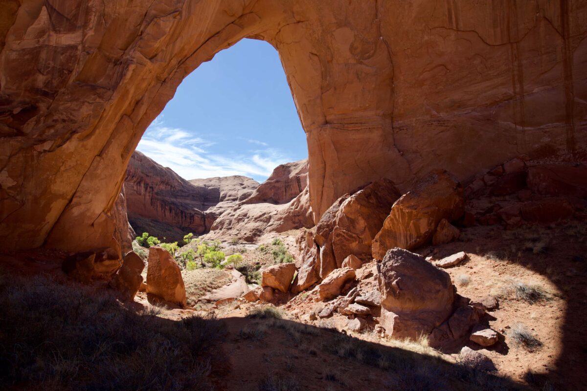
Broken Bow Arch
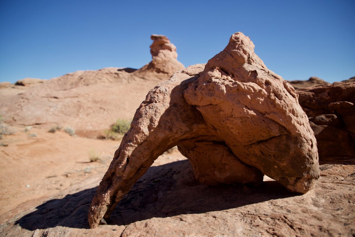
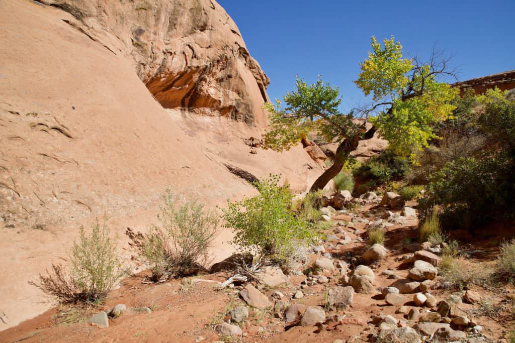
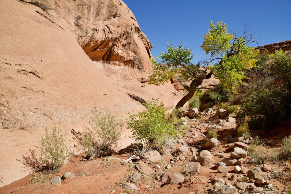
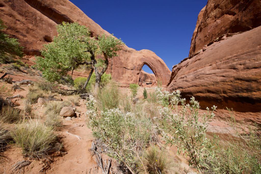
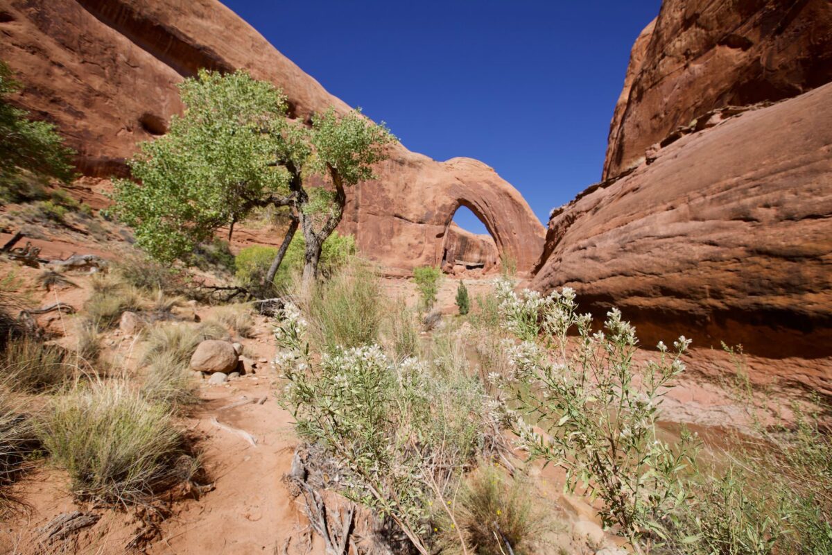
Small Arch on the way
Broken Bow Arch
Broken Bow Arch
Broken Bow Arch
Broken Bow Arch
Broken Bow Arch
Broken Bow Arch
Broken Bow Arch
Description of how to get there: The drive is long, but very easy. Coming from Escalante, just after the town, turn right onto the Hole in the Rock Road . (The junction is signed). Coordinate: Latitude 37.727643, Longitude -111.531458. Follow the unpaved Hole in the Rock Road for 41.2mi. Shortly after the Sooner Wash turn left onto BLM276 Rd. From now on you are in the Glen Canyon NRA. Coordinate: Latitude 37.322248, Longitude -111.045142. You follow this road, for another 1.5mi before you reach the parking lot. Coordinate: Latitude 37.324856, Longitude -111.022675. The road condition along the Hole in the Rock Road varies with the season and the weather. It is often in quite good condition. We recommend checking with the BLM in Escalante to see what the conditions are. During our visit in October 2018, driving the entire route was no problem.
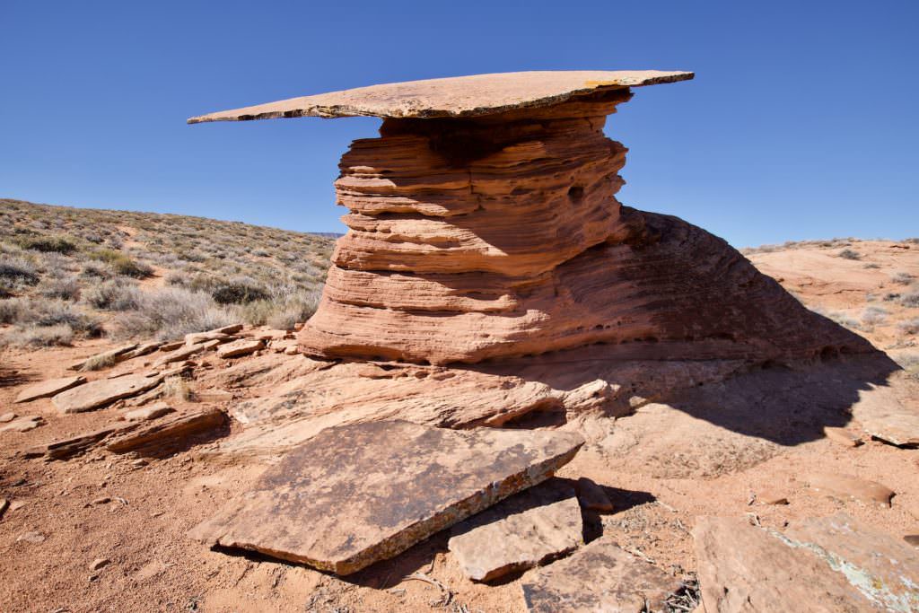
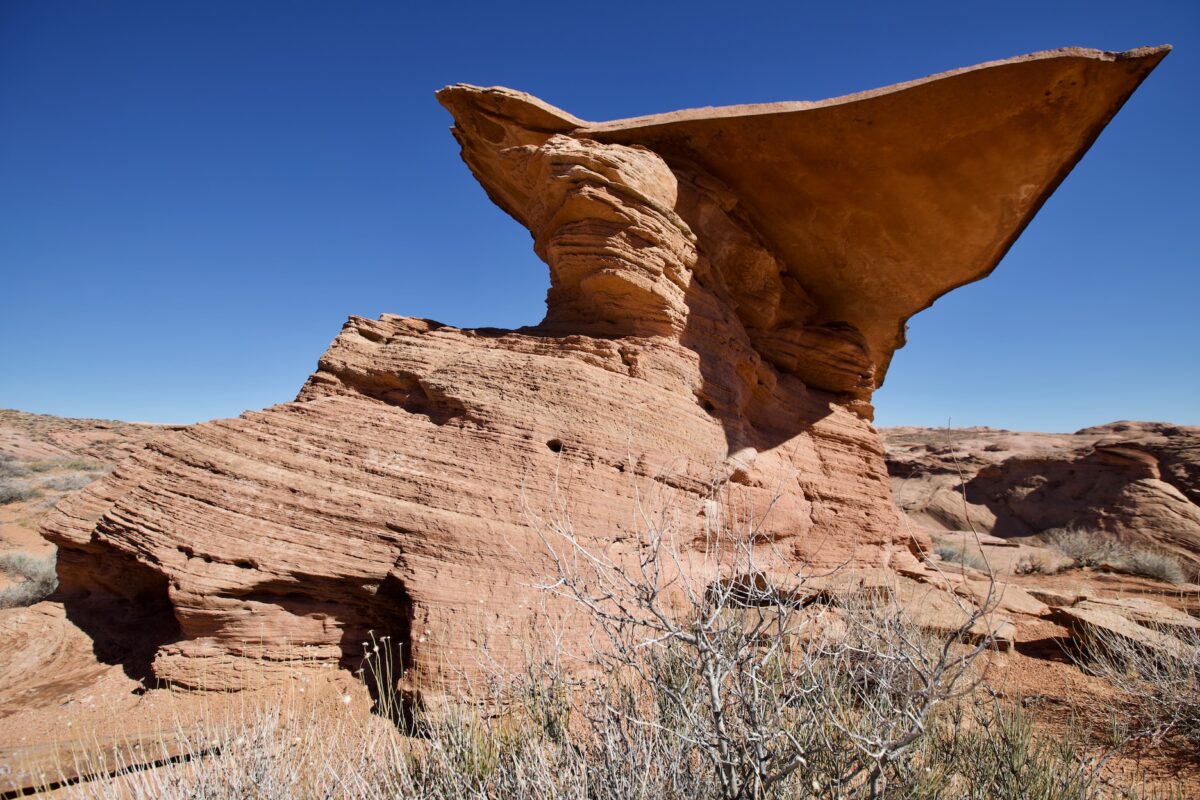
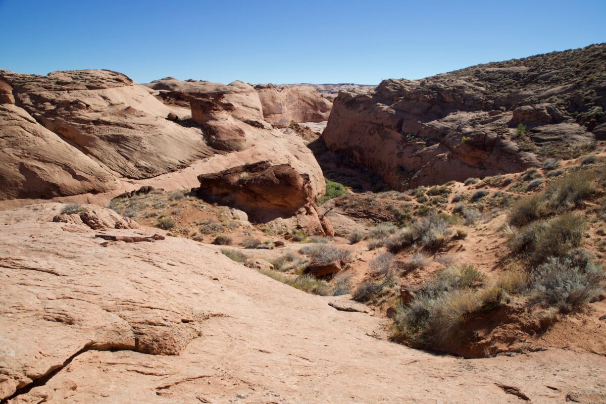
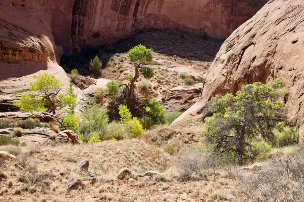
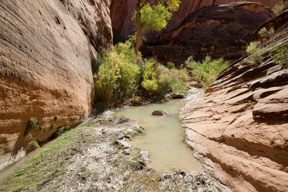
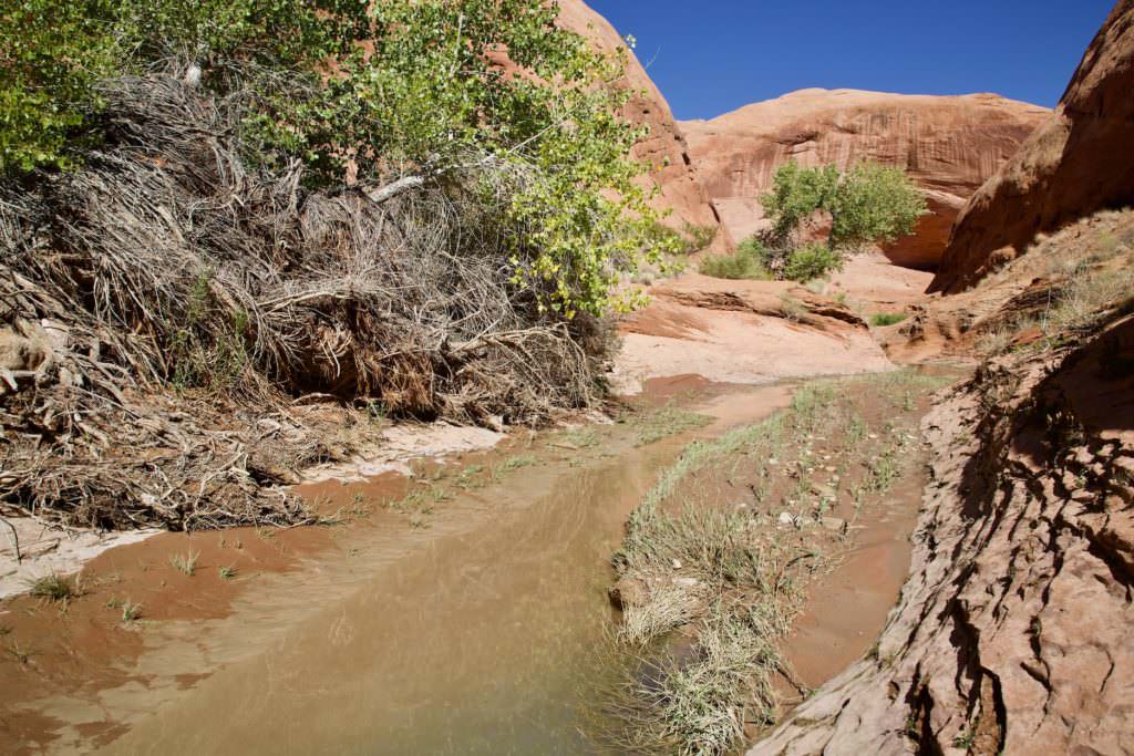
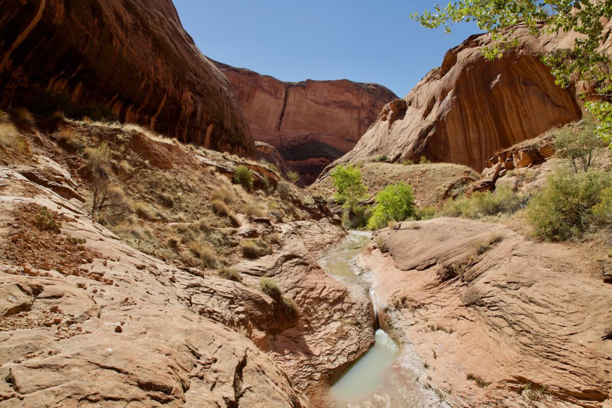
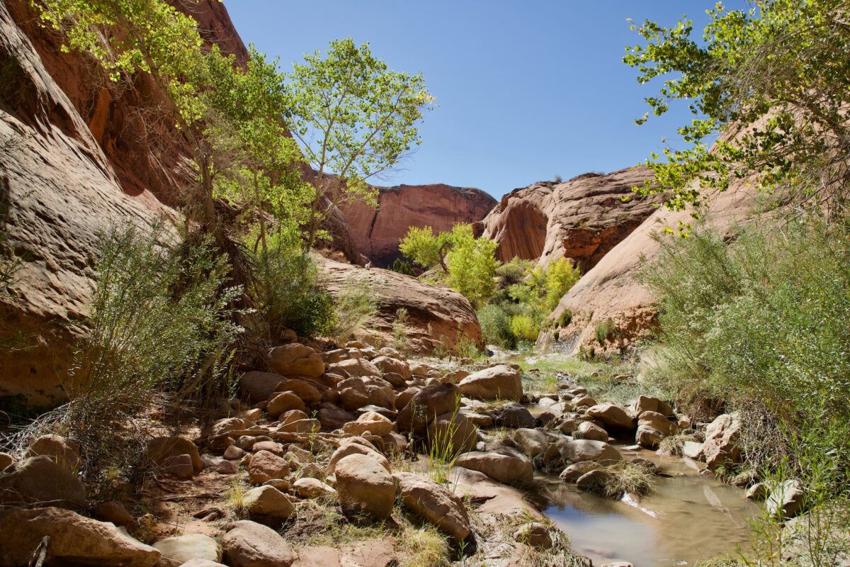
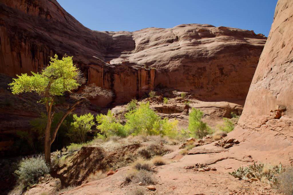
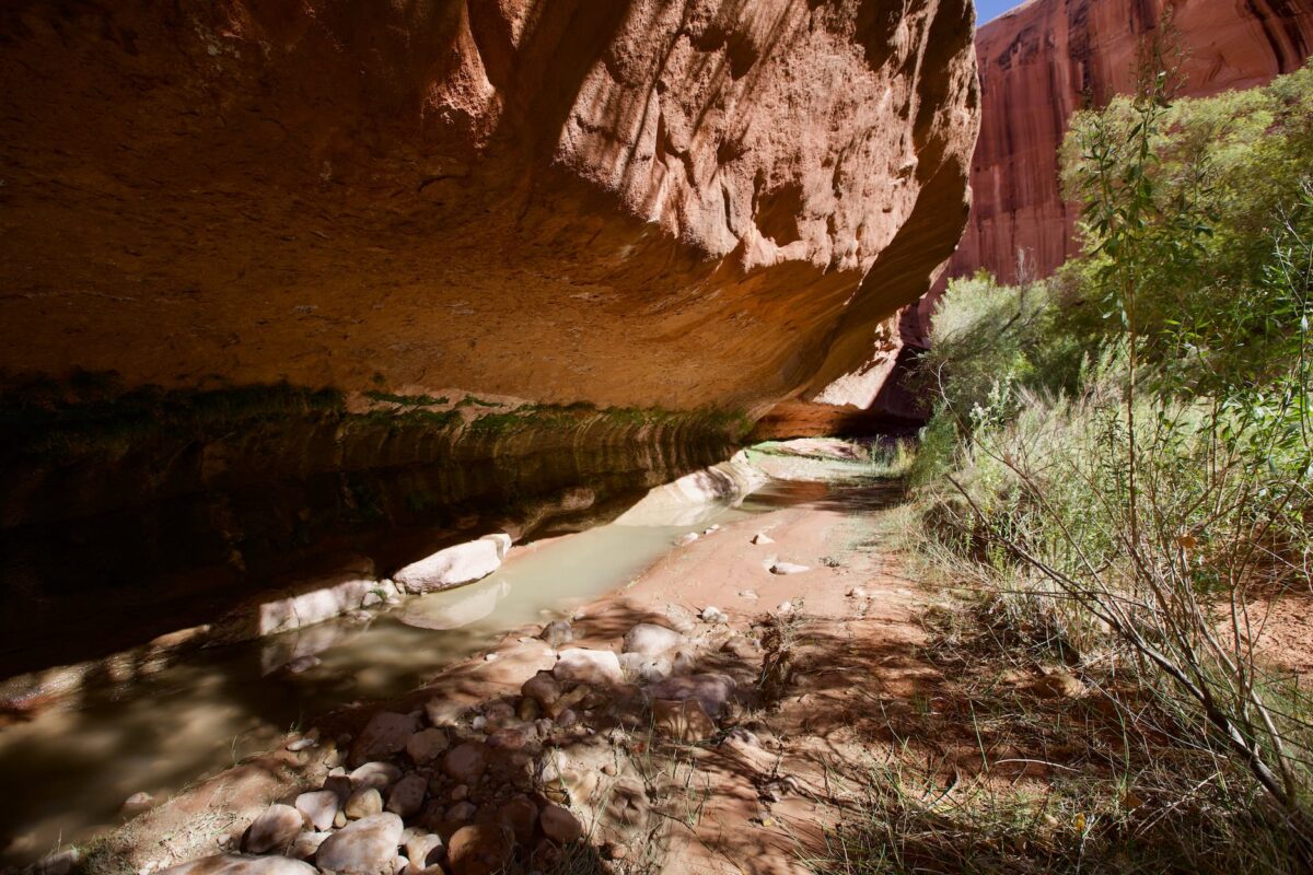
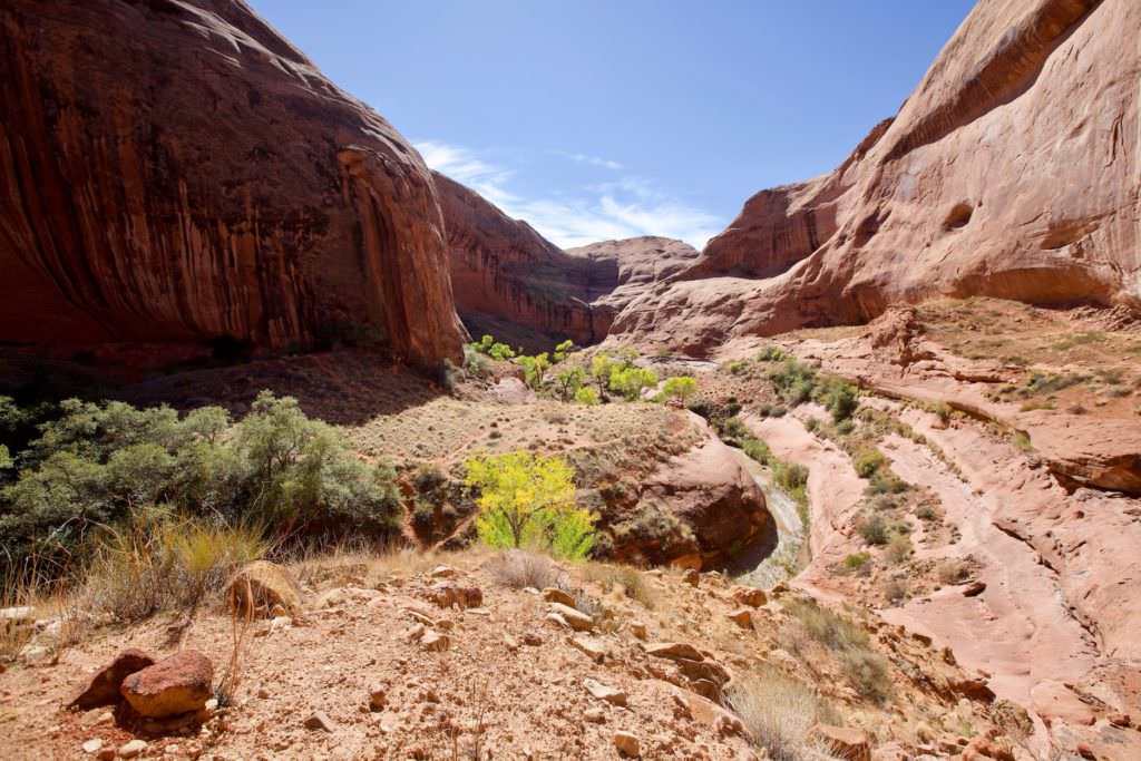
Hike Description: From the trailhead we first descend over a huge sand dune into Willow Gulch. The elevation gain here is about 164ft. On the way down you pass a large, very interesting hoodoo, whose hat consists of a big plate. Once in the gulch, follow the wash in an easterly direction. The trail is sometimes easier and sometimes harder to find. Sometimes you have to fight your way through the brushes and sometimes you have to wade through water, but overall the hike is not difficult. After about 2.5mi the arch suddenly comes into sight. Since you hike around numerous bends in the Gulch, you don't see the Arch until you're almost in front of it. If you want to hike under the arch, you have to go around it on the right and climb up a sand dune from behind. It is difficult to reach the arch from the front. You should save some strength for the way back, because you have to climb up the sand dune again at the end.
Trail length: approx. 4.8mi roundtrip Altitude difference: approx. 869ft Time needed: 4-5 hours Difficulty level:moderate - The path is basically not very difficult to walk, but sometimes you have to search for it and sometimes you have to fight your way through the bushes.
Our rating: This hike was on our wish list for ages and in the end it met all our expectations. You hike through a great landscape and you are almost alone on the trail. The hike offers a bit of adventure and a gigantic arch at the end. What we also loved were the green trees down in the Gulch. They created great color spots between the red rocks. So from that standpoint, we would do the hike more in seasons with foliage on the trees. Absolute recommendation!!!
☆☆☆☆☆Bewertet mit 4 von 5
Note: On dirt roads, road conditions can change constantly. Therefore, we strongly recommend that everyone check the road conditions before each trip. The most current information is usually available on the BLM website in Escalante. GSENM-Road-Condition-Report


