Our visits: So far 2 visits in October 2011 and April 2022, where we drove the full length of the CCR. However, we have driven parts of the road very often. The last time we were driving the CCR was in April 2022.
Cottonwood Canyon Rd
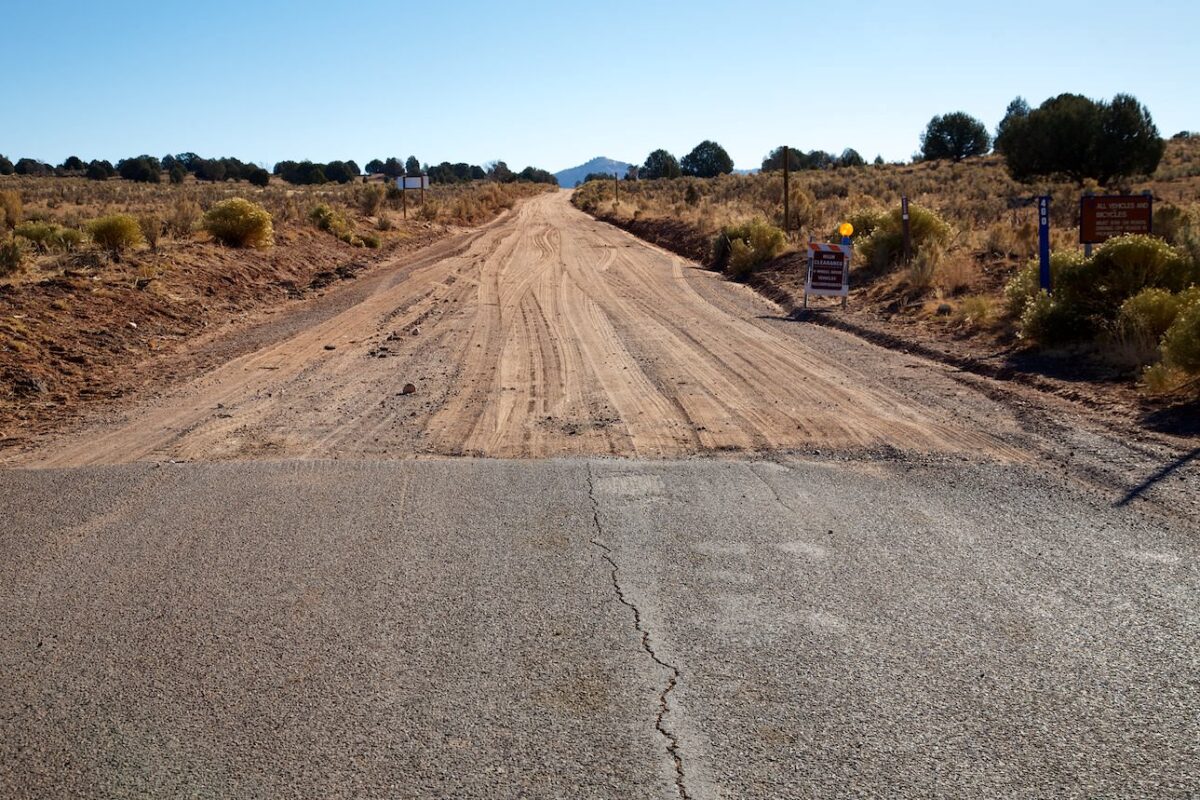
Start of the unpaved part of the CCR after 7.15mi
Cottonwood Canyon Rd
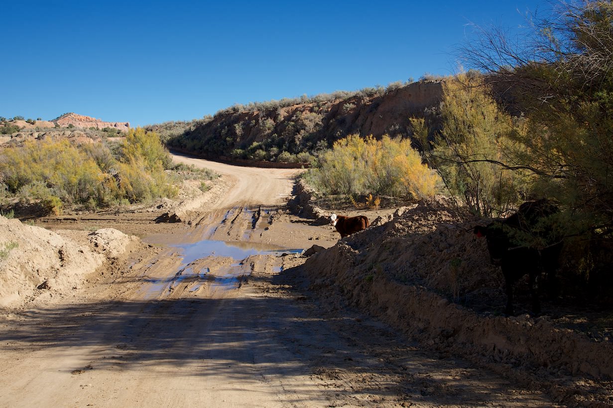
Dry Valley Creek
Cottonwood Canyon Rd
Cottonwood Canyon Rd
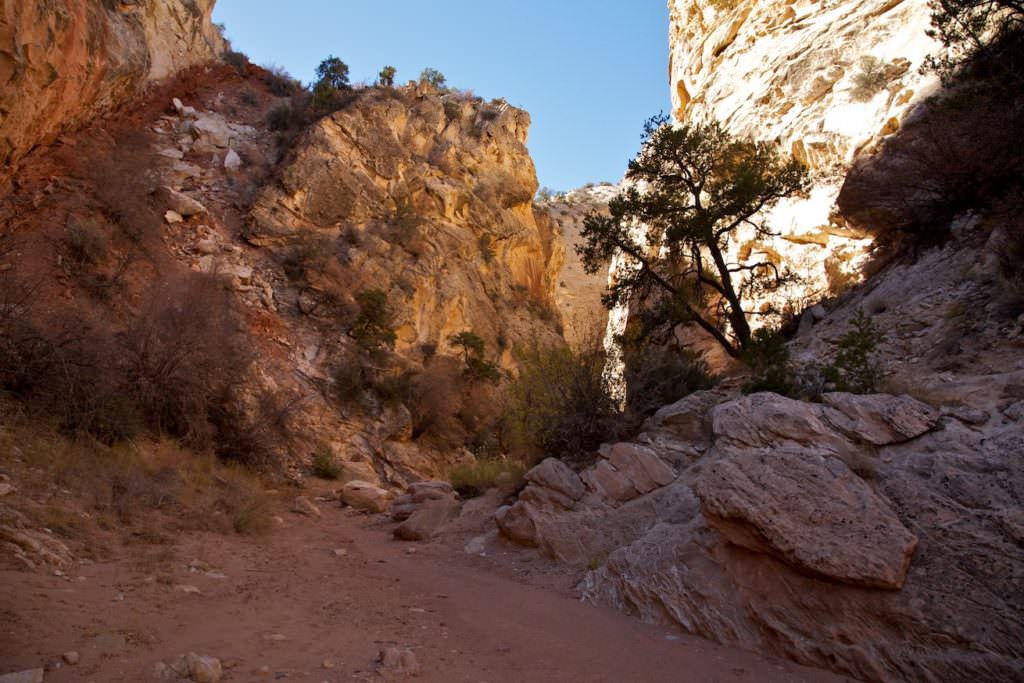
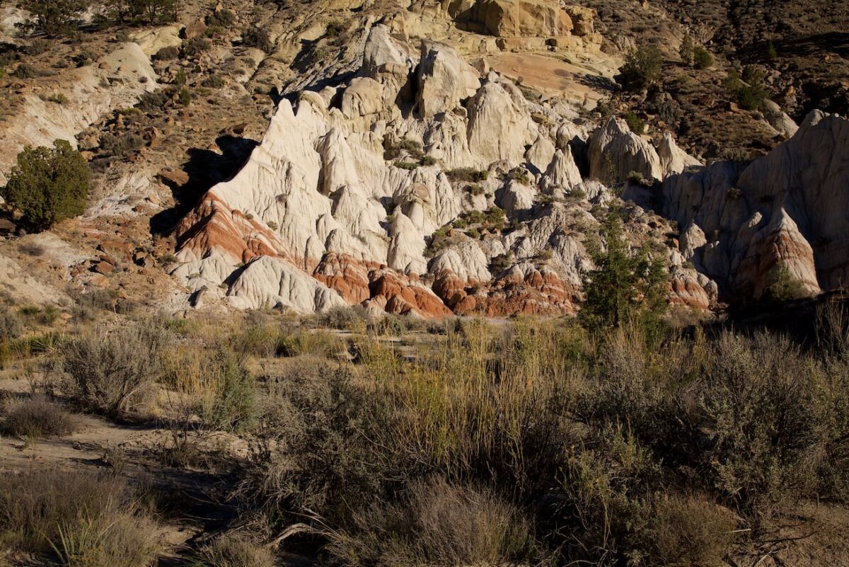
Cottonwood Narrows
Cottonwood Canyon Rd
Cottonwood Canyon Rd
Cottonwood Canyon Rd
Cottonwood Canyon Rd
Cottonwood Canyon Rd
Cottonwood Canyon Rd
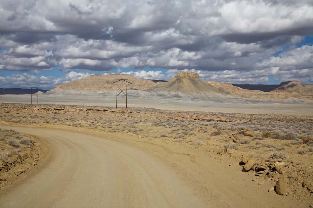
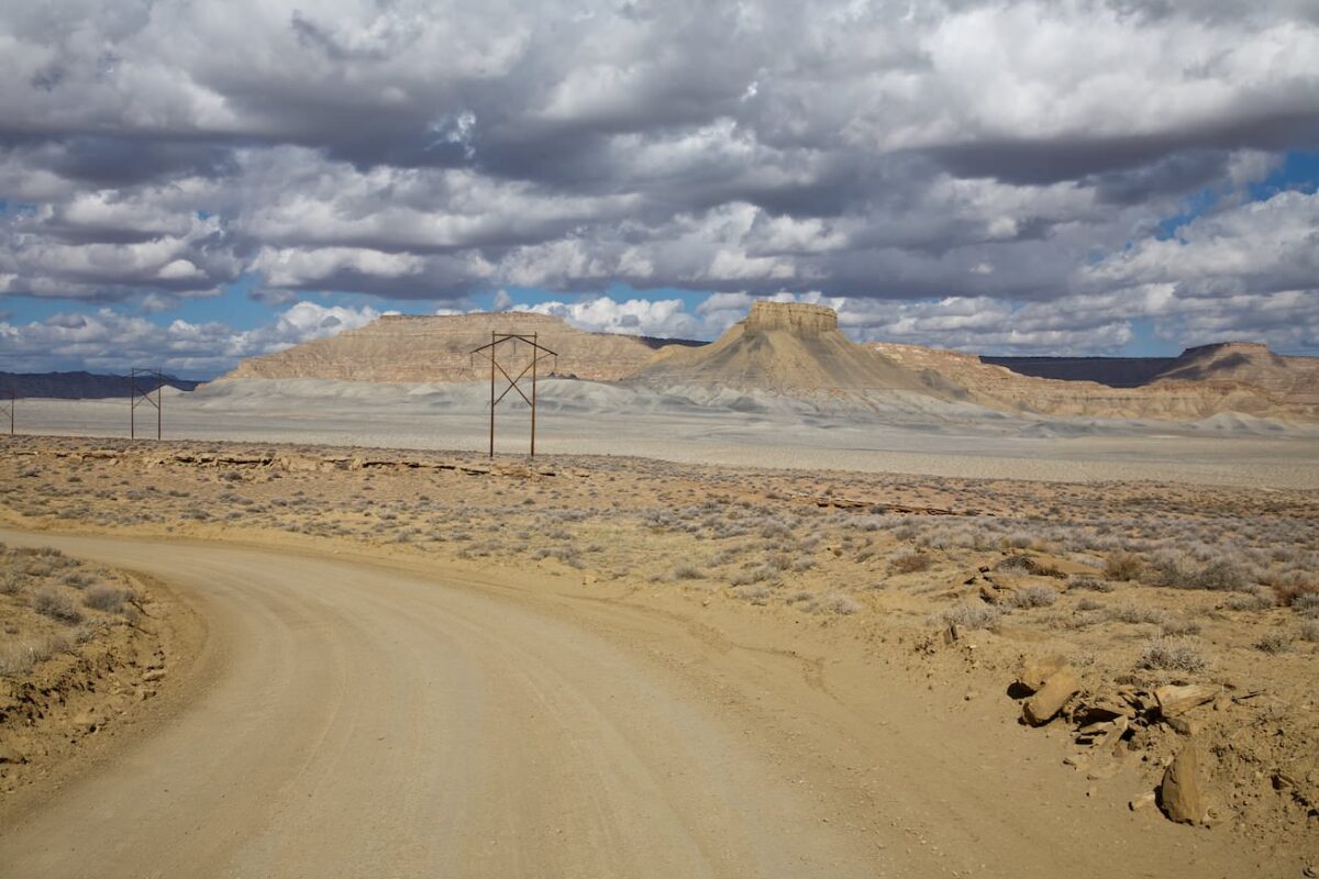
Cottonwood Canyon Road (CCR)
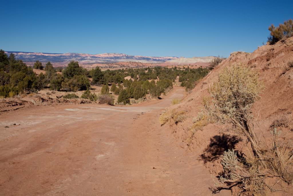
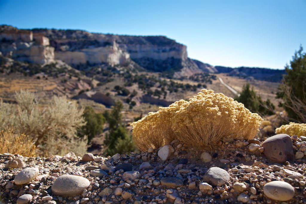
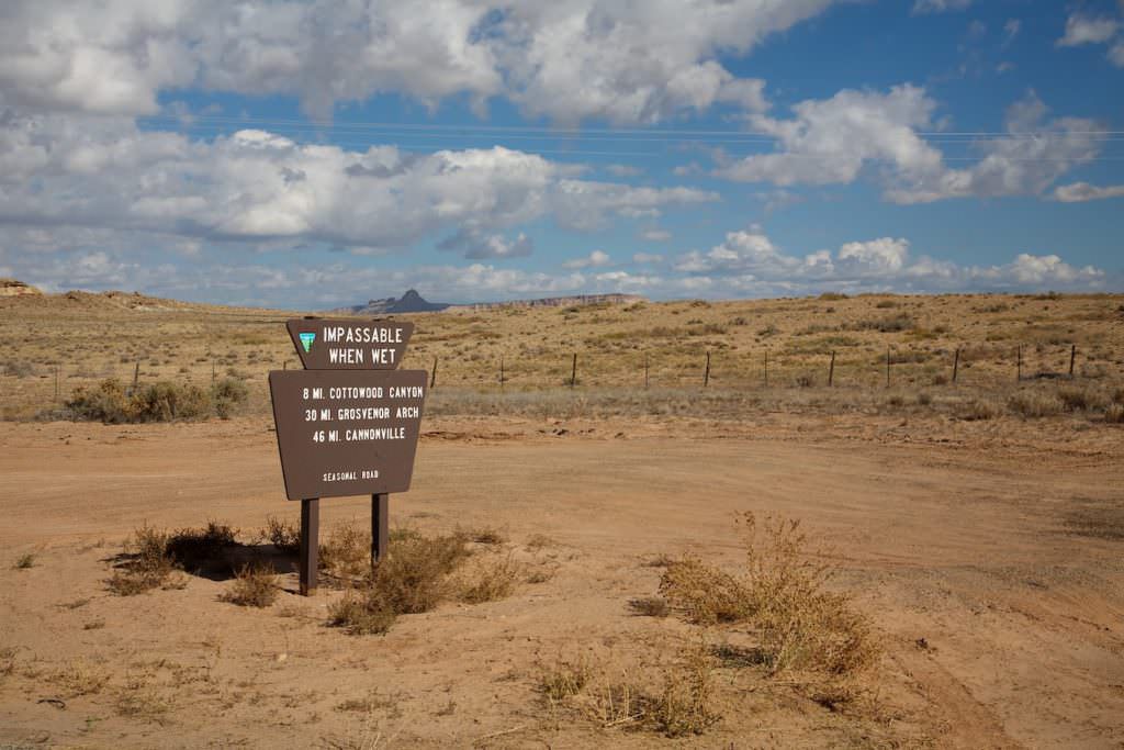
Description: Cottonwood Canyon Road (CCR) is a 47mi dirt road between Cannonville to the north and Highway 89 to the south. When passable, it is an attractive shortcut on the way from Bryce Canyon NP to Page or Kanab. There are some smaller and larger natural treasures to discover. Coming from the north, the road starts in the small town of Cannonville. After 7.15mi you arrive at the Kodachrome Basin SP .
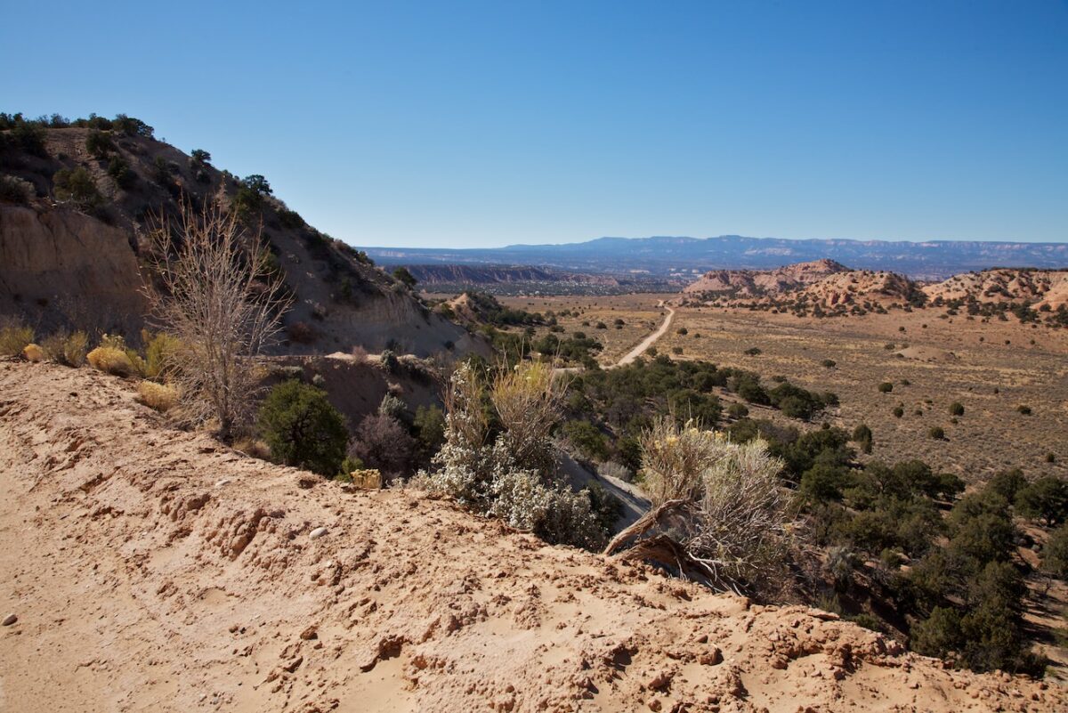
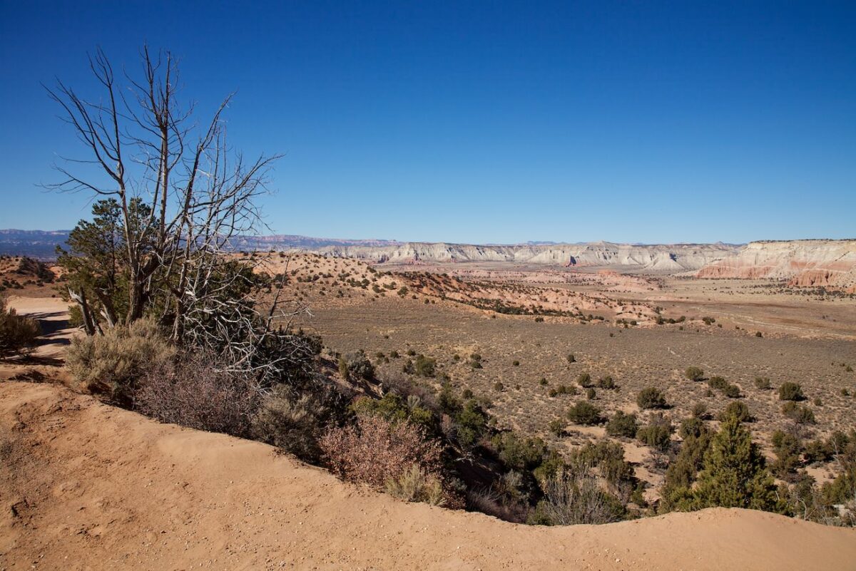
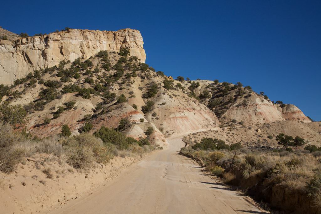
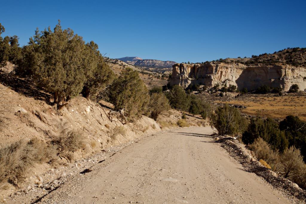
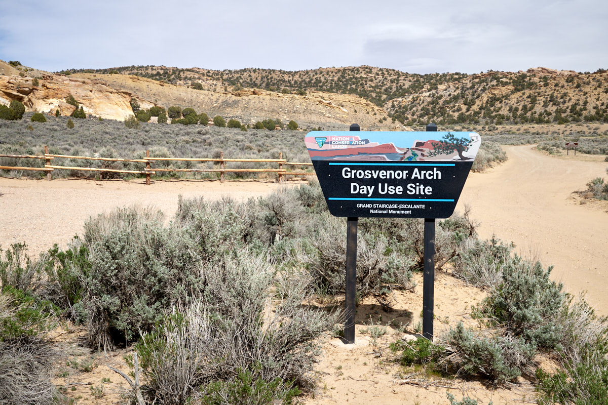
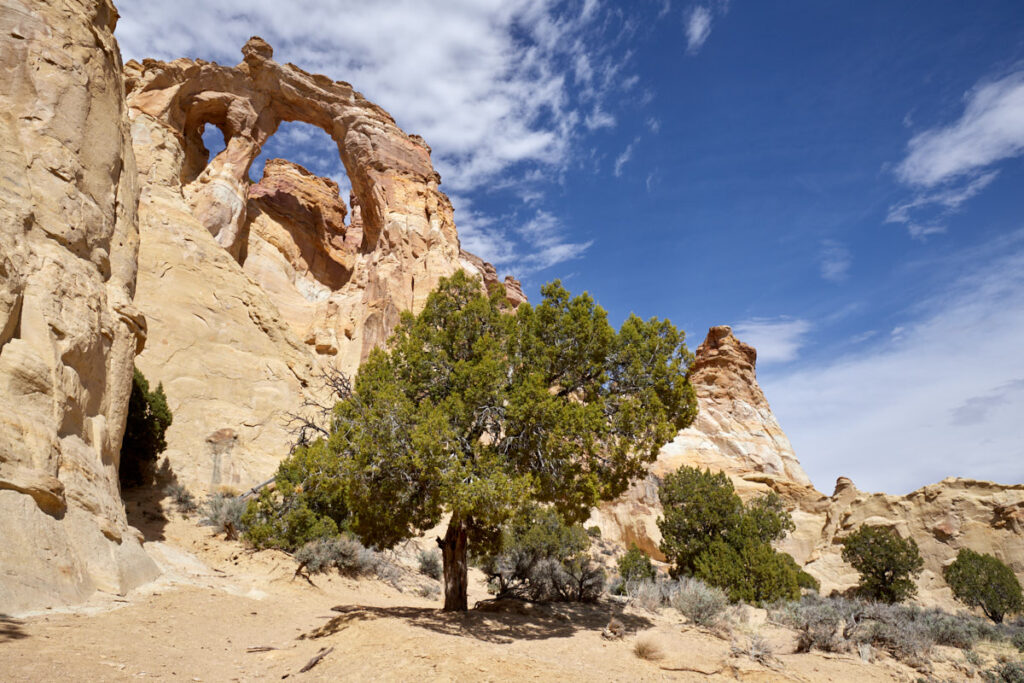
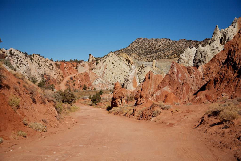
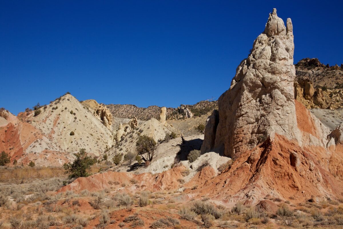
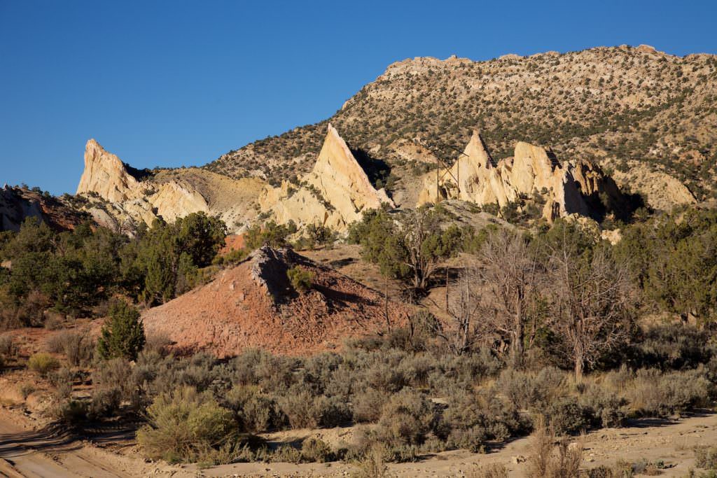
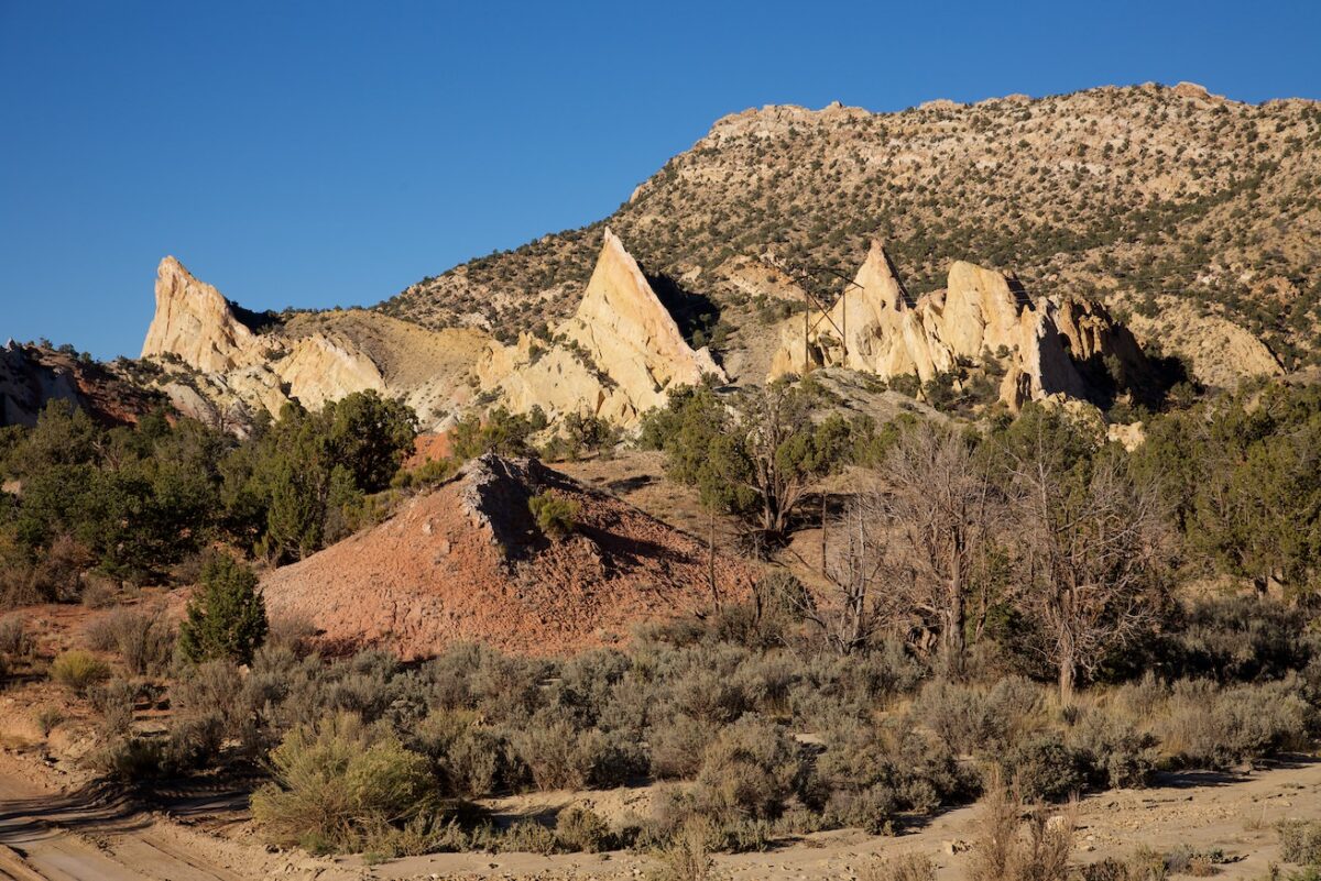
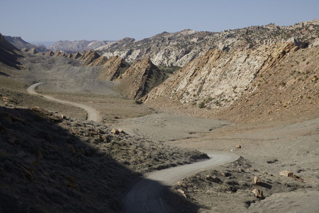
From here on the CCR is unpaved. After 8.8mi you reach Dry Valley Creek. This is often filled with water and should be driven through carefully. There is also a bypass on the right side, but it is not always dry. After 16.67mi you will pass another great highlight - the Grosvenor Arch. To reach the arch, drive a few hundred meters east on a small spur road. The arch is not to be missed, because it is already visible from the road. The drive continues and after 22.4mi you reach The Cockscomb, a colorful canyon, whose rocks remind of a cockscomb. The CCR remains quite nice to look at for the next kilometers. Again and again there are nice rock formations to admire on the left and right. After 54km you reach the trailhead to the Yellow Rock.
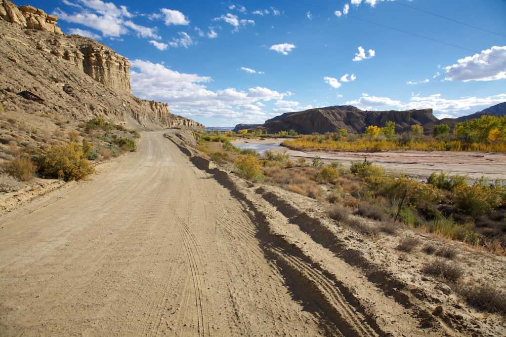
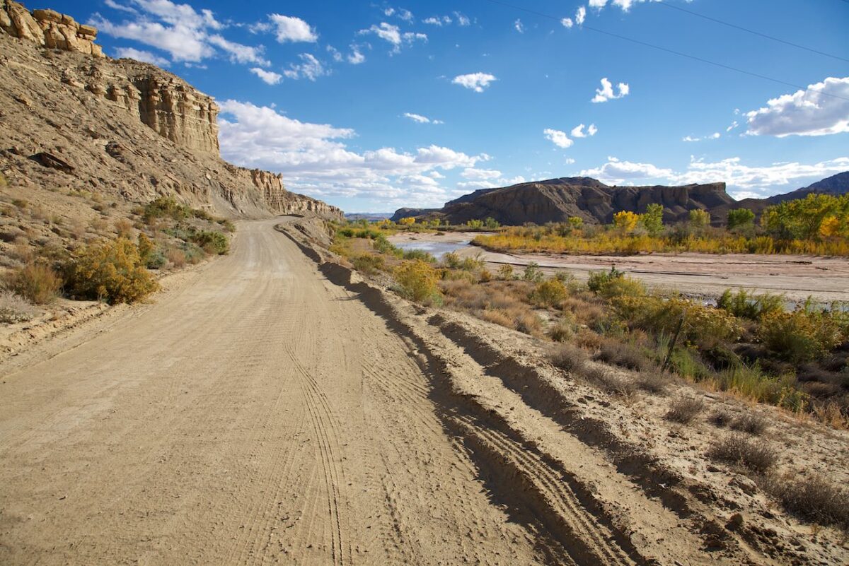
The terrain now becomes more open and you drive through a wide badlands landscape first along Cottonwood Creek and then along the Paria River. After 46.3mi you reach the junction to BLM 431 Rd. This leads to the Wahweap Hoodoos. At mile 47.2 you reach the intersection with Highway 89 here you can continue to Page (left) or Kanab (right).
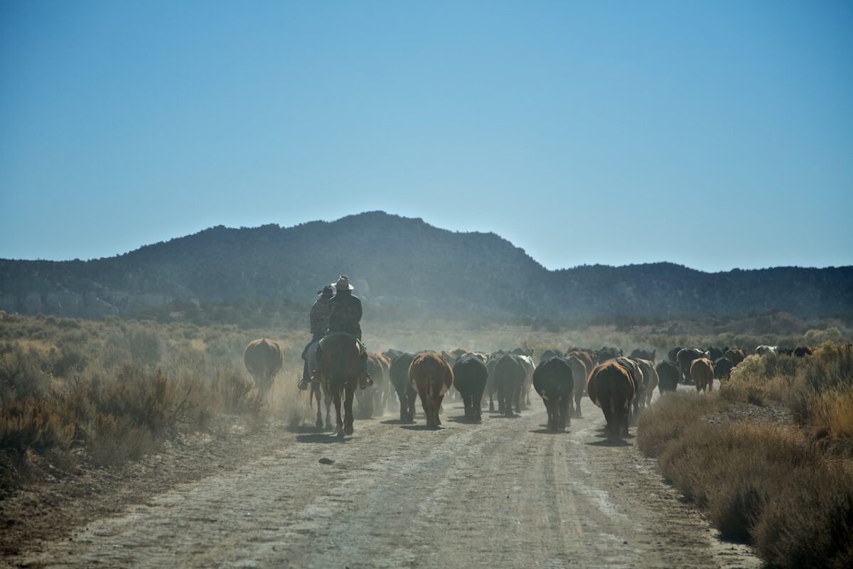
Our rating: : The CCR is almost completely unpaved. Since there are some clayey road sections, it unfortunately happens very often that it is no longer passable, especially after heavy rains. So far we have driven the road only twice in full length. The route is beautiful and offers some scenic highlights. However, we would recommend everyone to check the condition of the road at one of the visitor centers before driving on it, or to turn back if the surface becomes slippery. Cars regularly get stuck here after heavy rainfall.
☆☆☆☆☆Rated 4 out of 5
Note: On dirt roads, road conditions can change constantly. Therefore, we strongly recommend that everyone check the road conditions before each trip. The most current information is usually available on the BLM website in Escalante. GSENM-Road-Condition-Report


