Description of how to get there: The trailhead for the hike is about 12.4mi west of Moab. First you drive about 2.5mi north on Highway 191 and then turn left onto Highway 279. After following the road for 10mi, you have reached the parking area on the right. The parking lot is signed, you can hardly miss it.
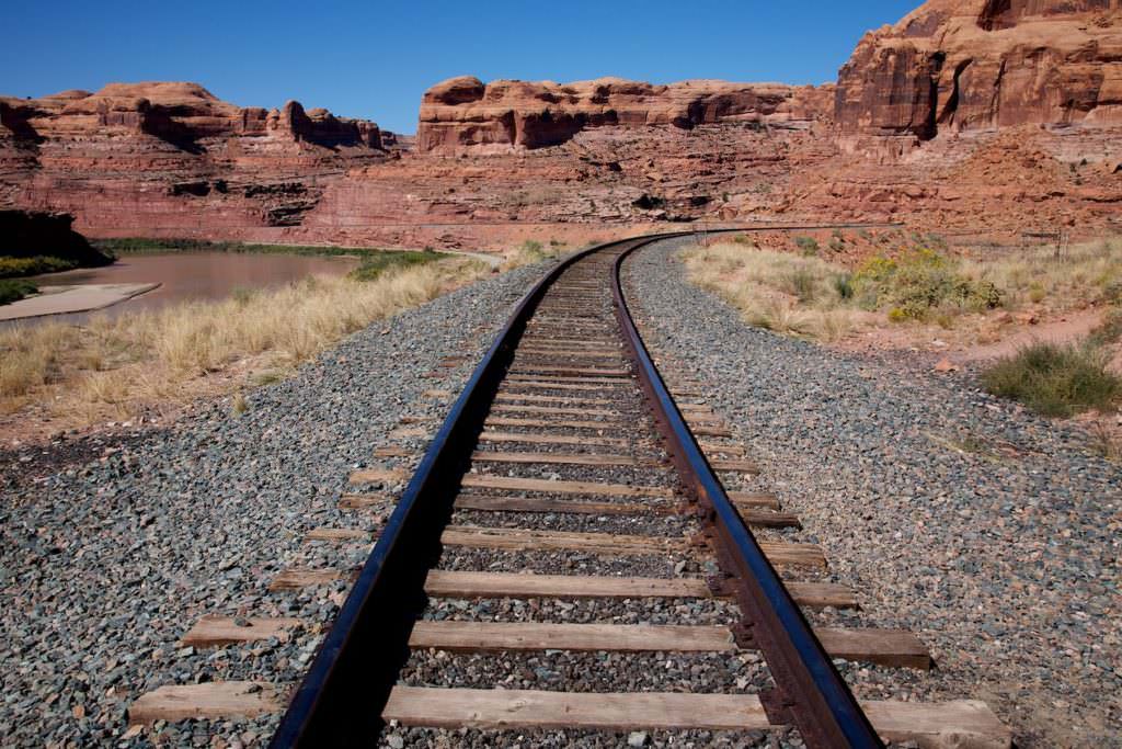
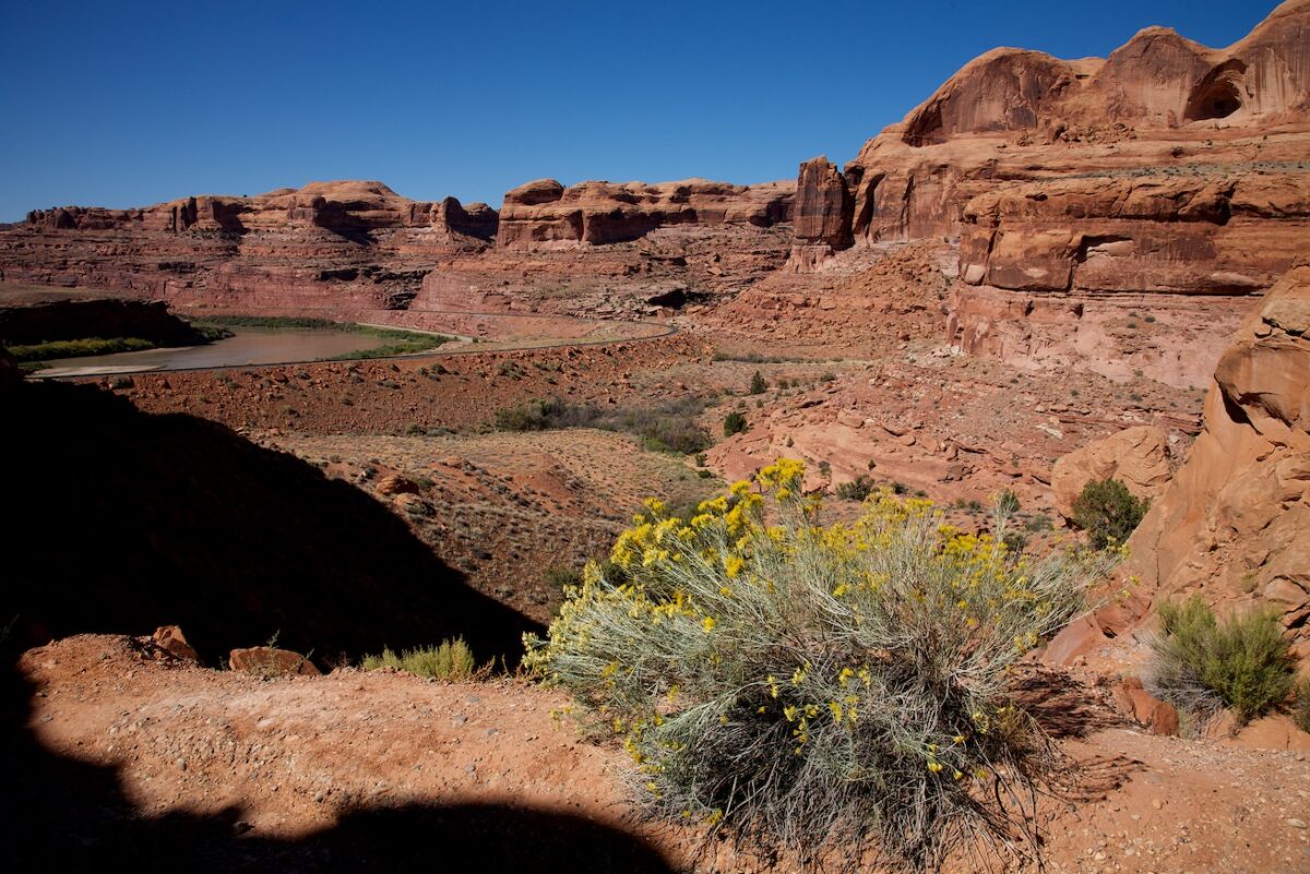
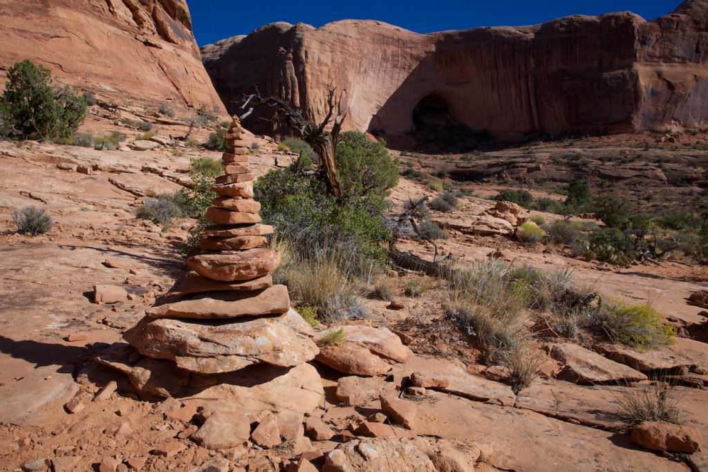
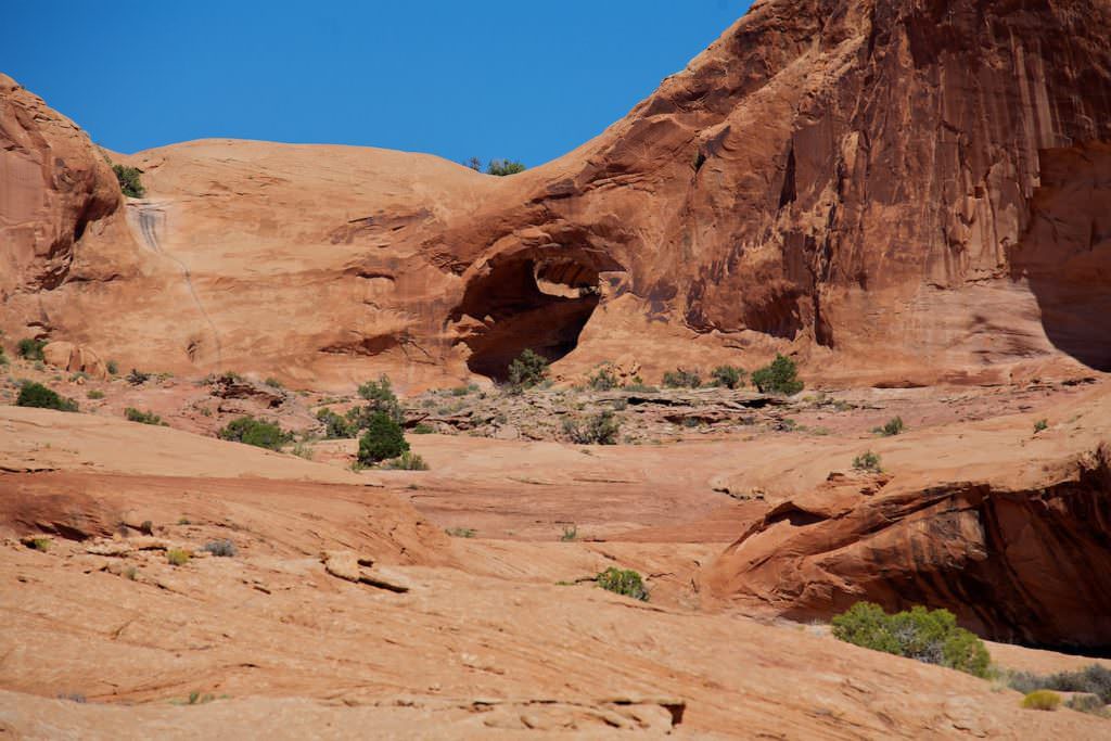
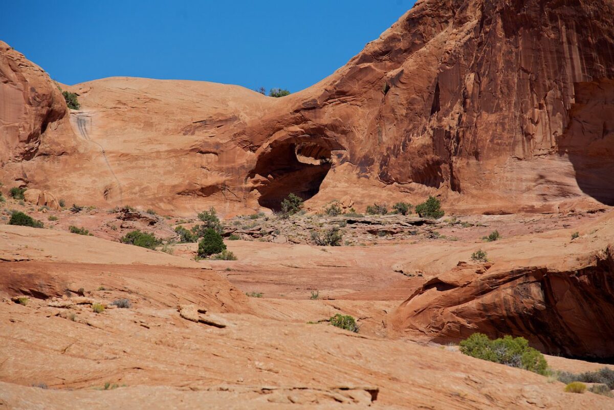
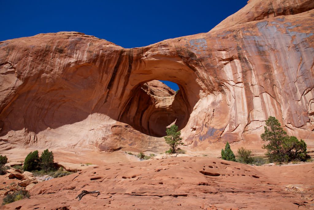
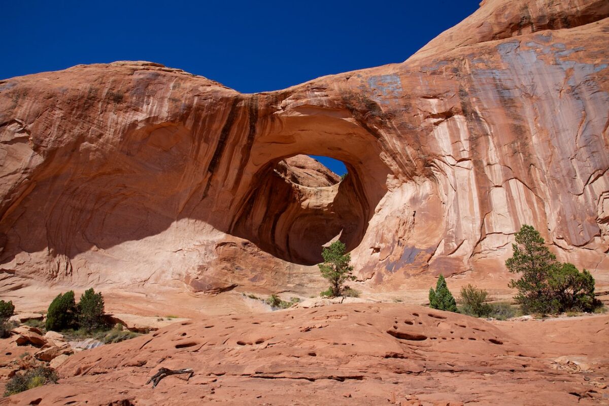
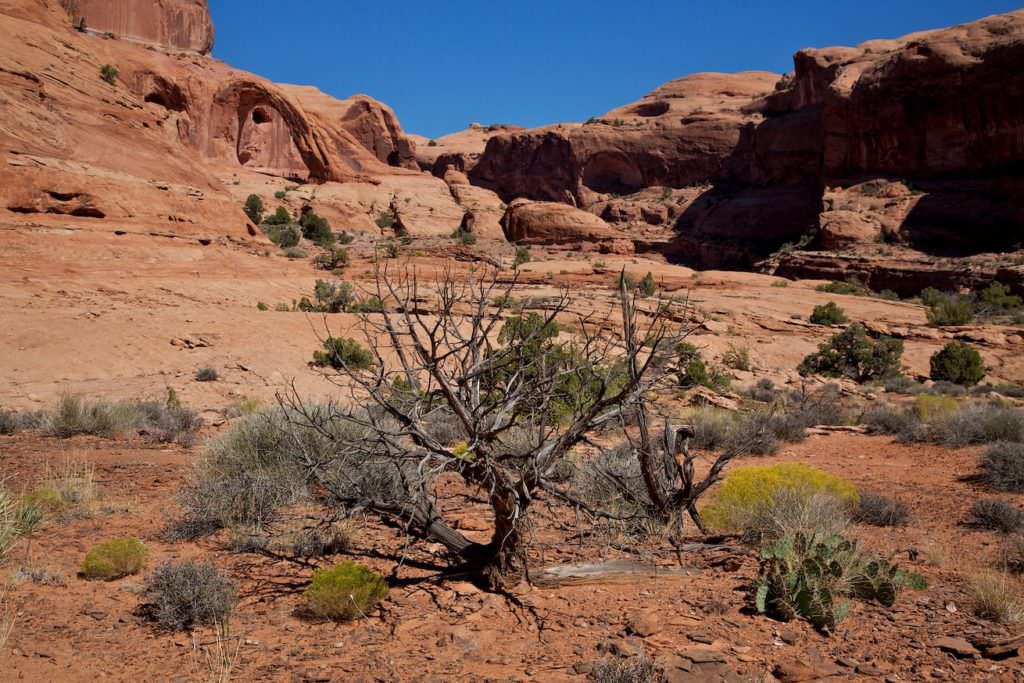
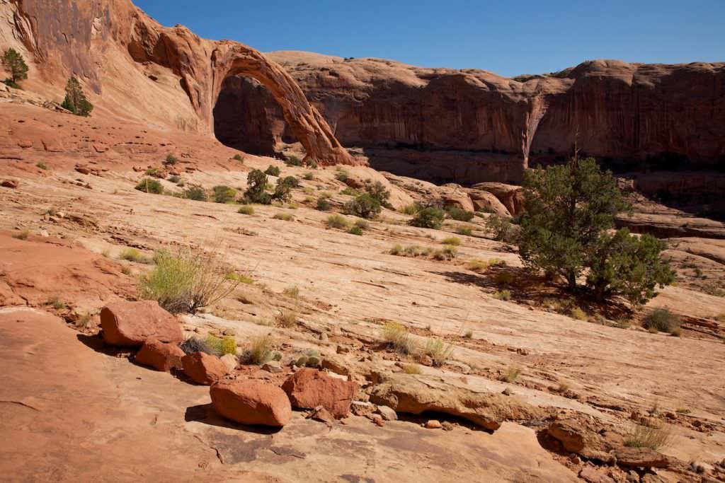
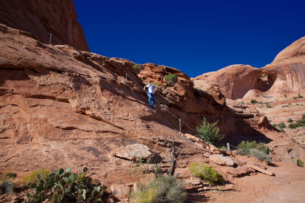
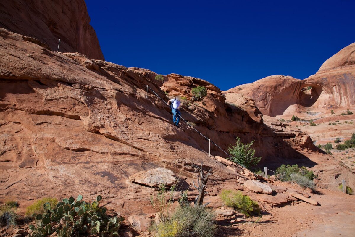
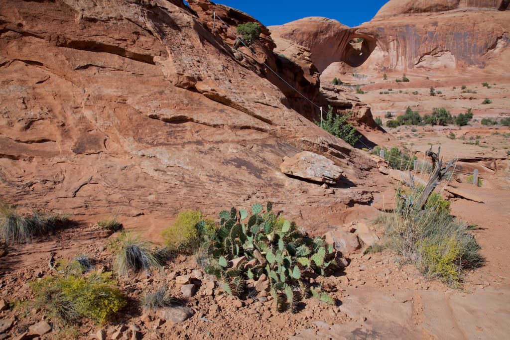
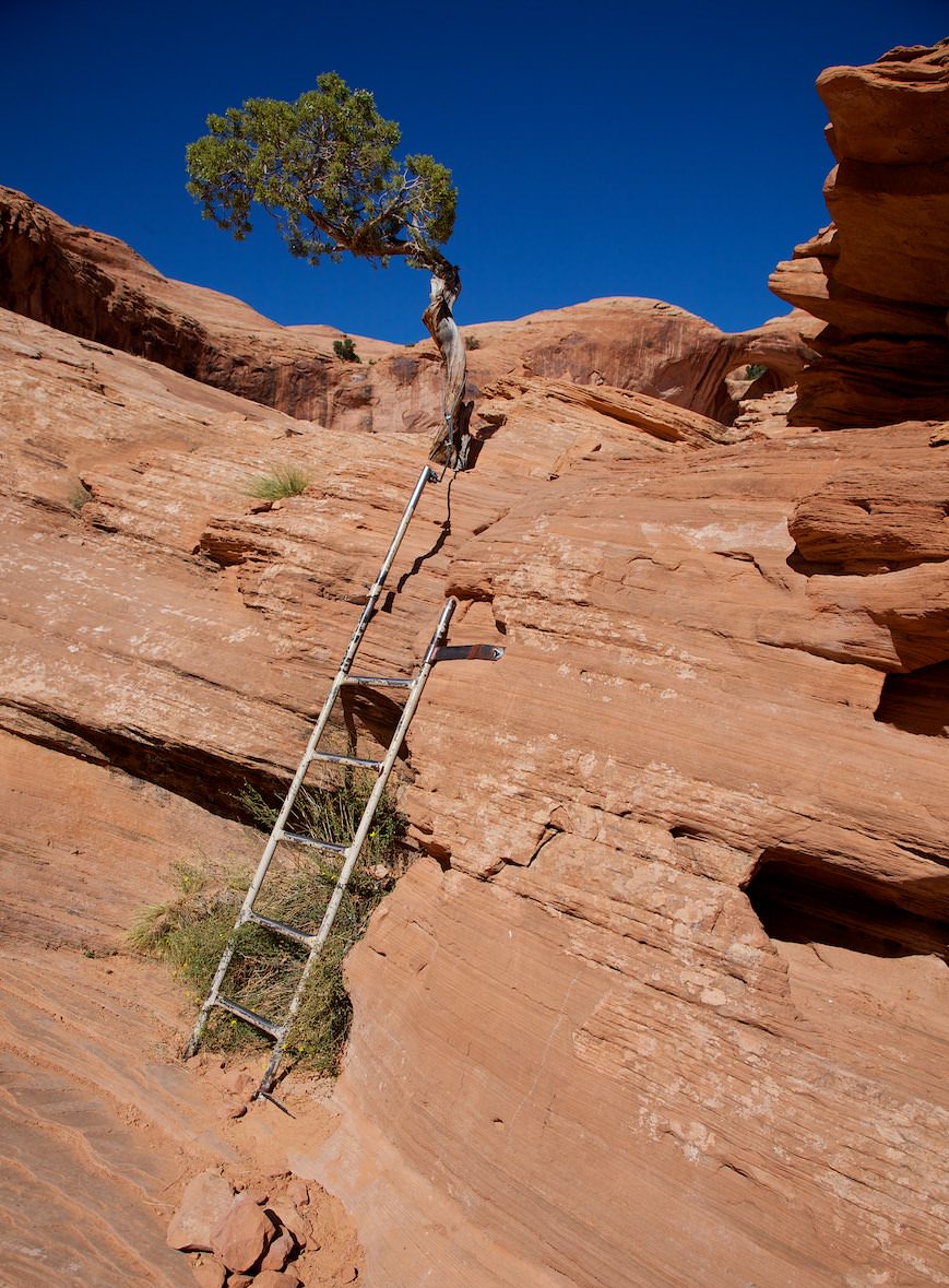
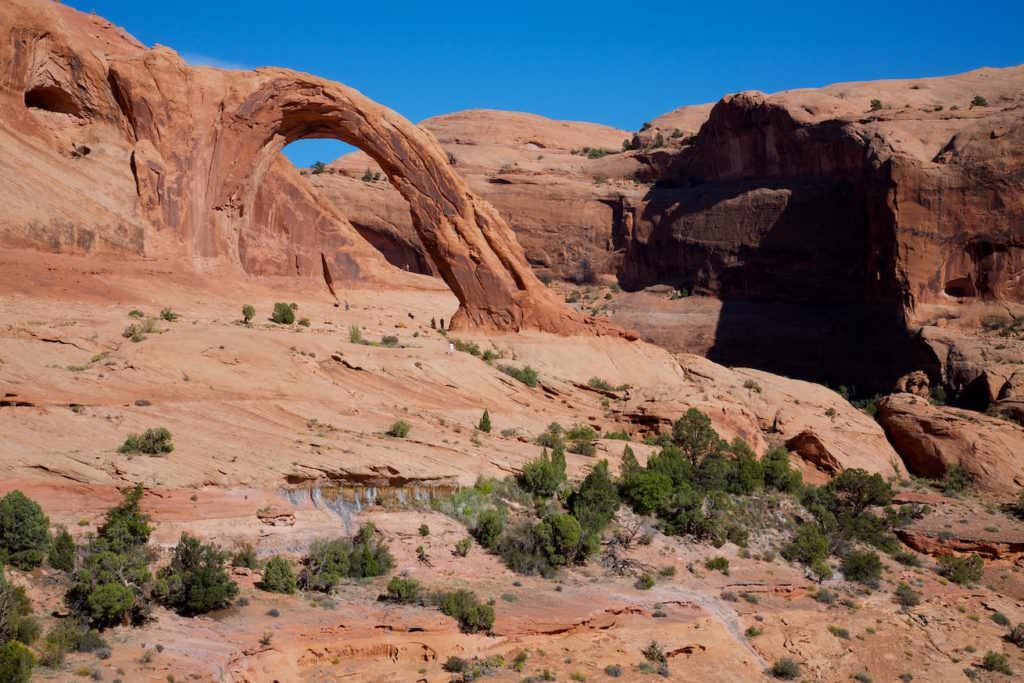
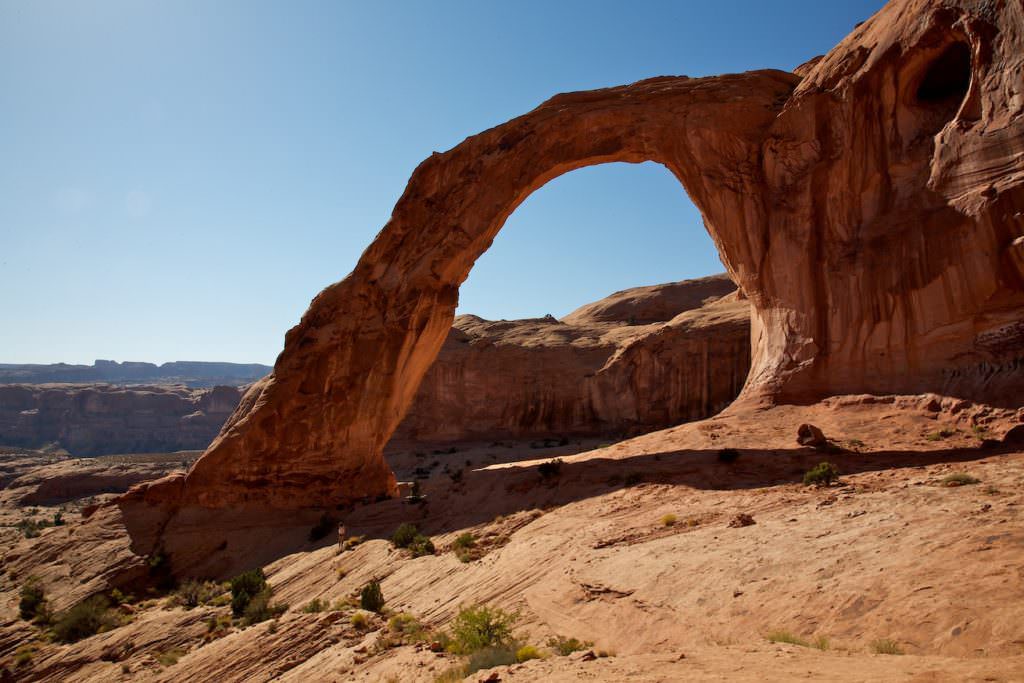
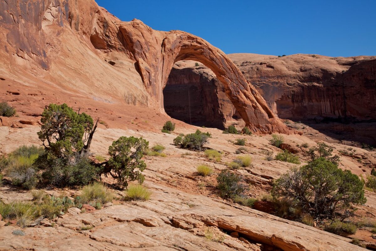
Hike Description: The hike is actually quite easy. First you have to go up the steep railroad embankment and cross the tracks. After that, however, it continues moderately uphill. The path is marked with cairns, but still you should not always follow them blindly. After a few hundred meters the Pinto Arch comes into view. After about half of the way you can also see the Corona Arch. From here on you can easily find your way. About 1640ft before you reach the arch, you have to climb up a steep rock and a ladder. On the rock are steps and there is a rope to hold on to the side. For people afraid of heights here could perhaps be a small problem. After that it continues in a large arc, relatively flat towards the Arch.
Trail length: approx. 1.24mi Altitude difference: approx. 328ft Time needed: 2-3 hours Difficulty level:easy to moderate - The trail is not very difficult, but you have to climb up and down a rock and a ladder to get to the arch.
Our rating: We liked the hike very much. It is not very strenuous, the path is varied and the Arch is impressive and very worth seeing. The perfect hike for a half day. We were at Corona Arch in the early afternoon in October 2011.


