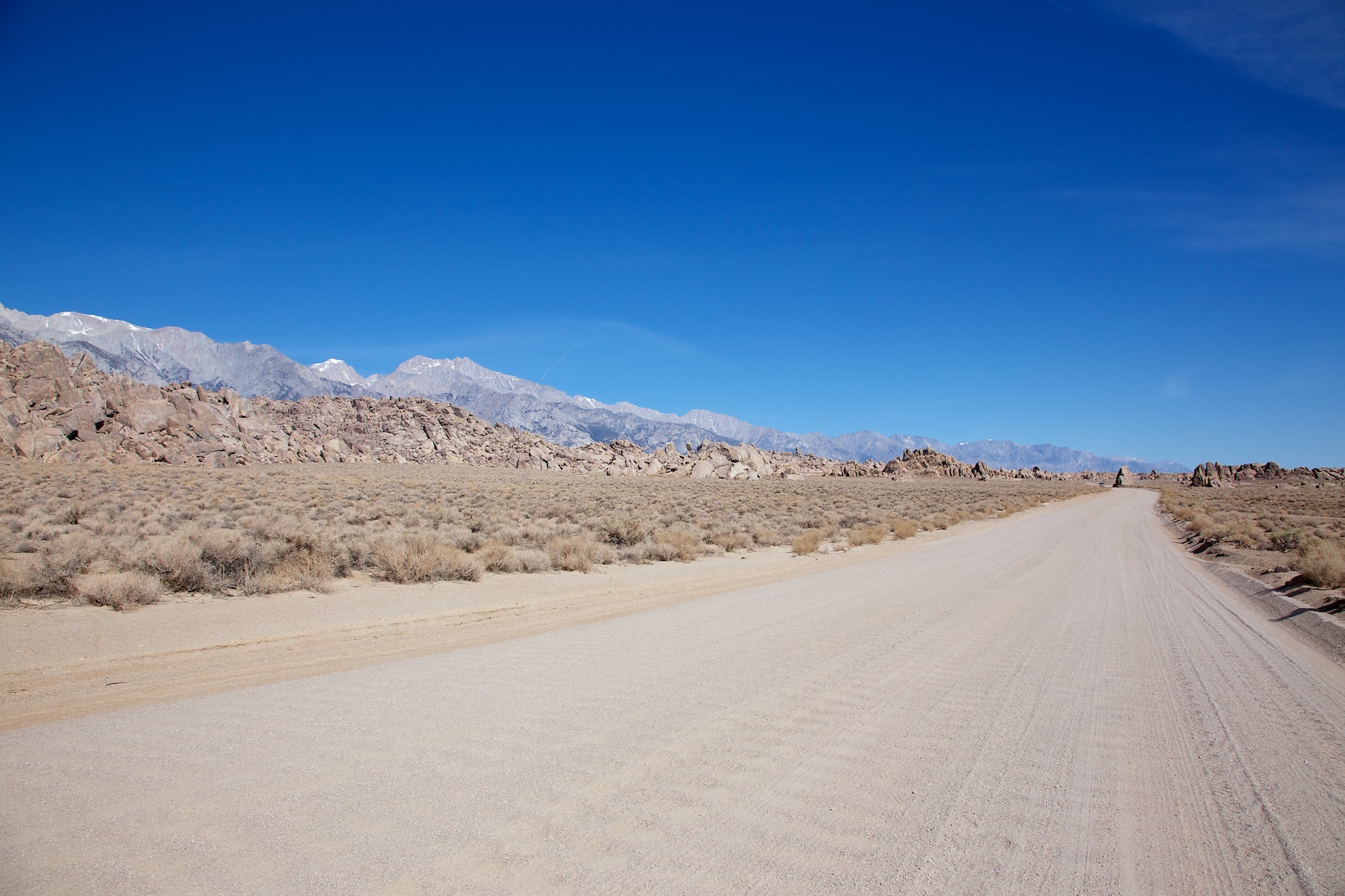
Note: On dirt roads, road conditions can change constantly. Therefore, we strongly recommend that everyone check the road conditions before each trip. We do not recommend driving on unpaved roads before, during or shortly after rain or snowfall.
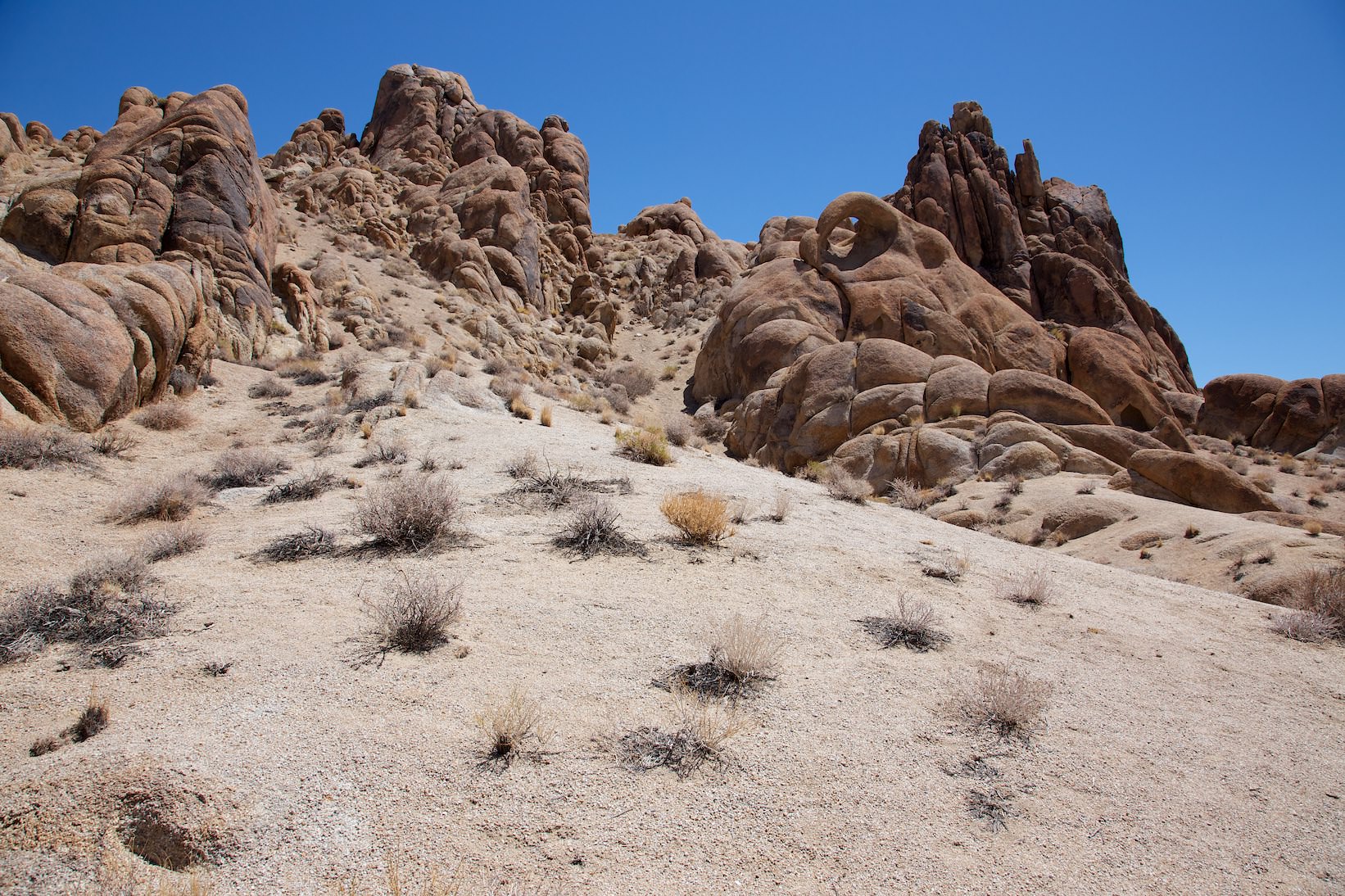
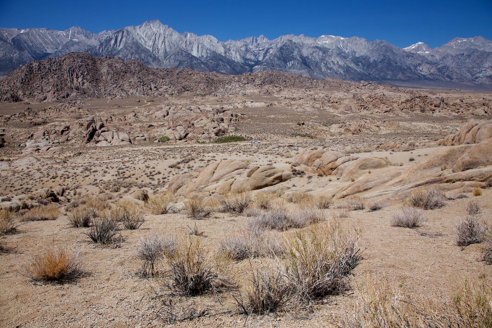
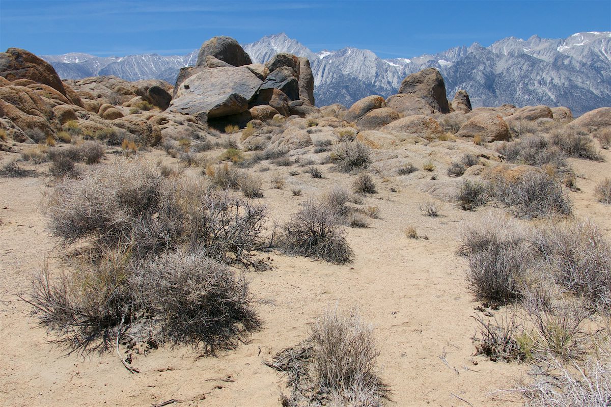
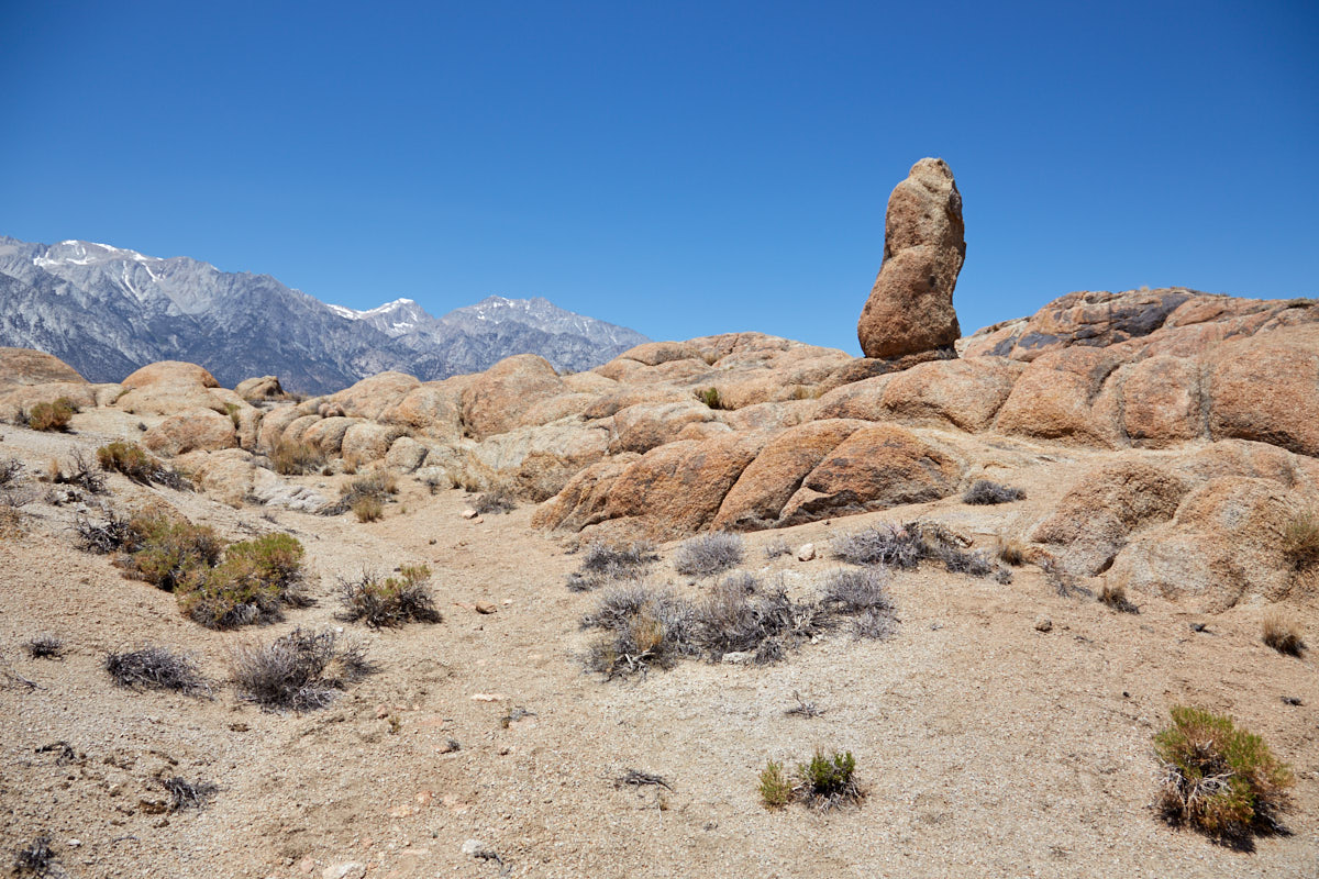
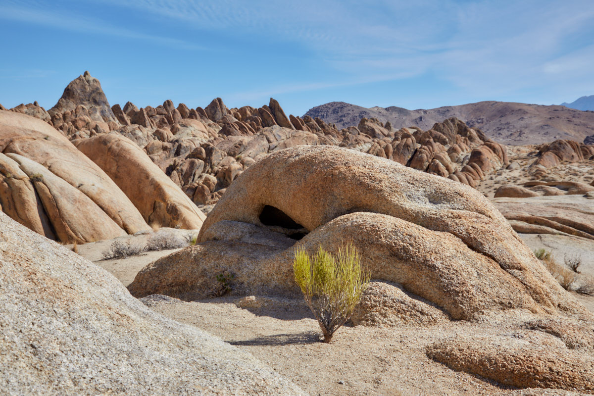
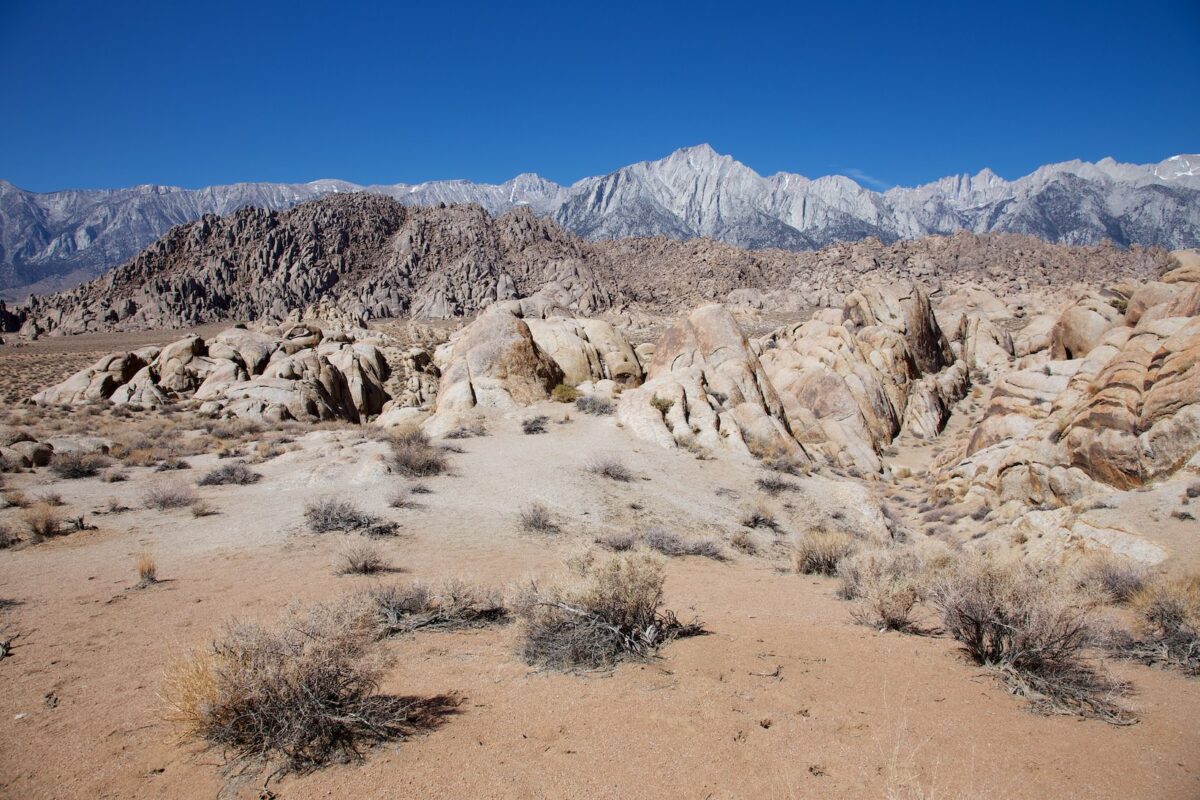
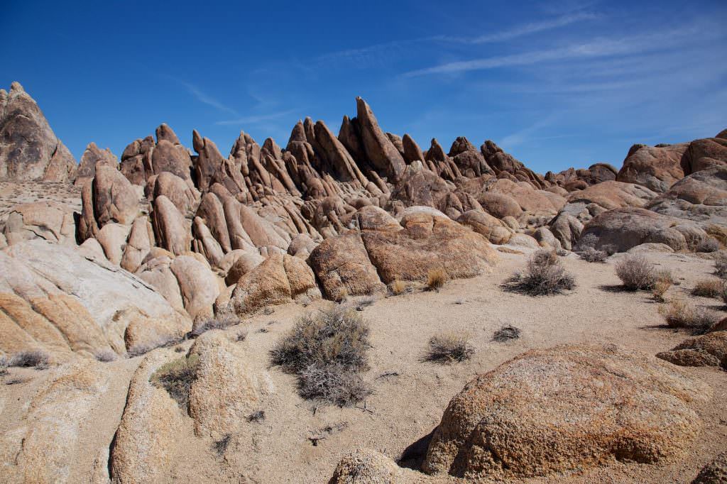
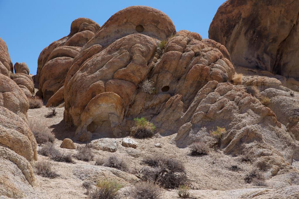
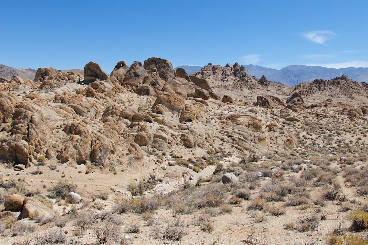
The Alabama Hills are an area east of the Sierra Nevada, near the village of Lone Pine. There are numerous, sometimes bizarrely shaped stone arches in the granite rocks. This unusual landscape has also served as a setting for many movies, especially westerns. One of the most famous (for us) is Django Unchained with Christoph Walz.
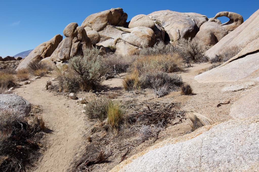
All roads in the Alabama Hills are unpaved, but usually very passable in dry weather. This was also the case during our visit in May 2013. Whether all stone arches in the Alabama Hills have already been discovered? Who knows. Everyone can go on a journey of discovery here, because you are allowed to hike freely in the area.
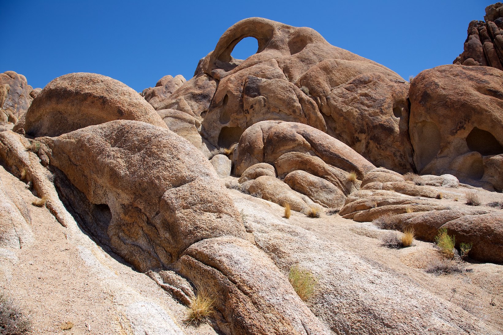
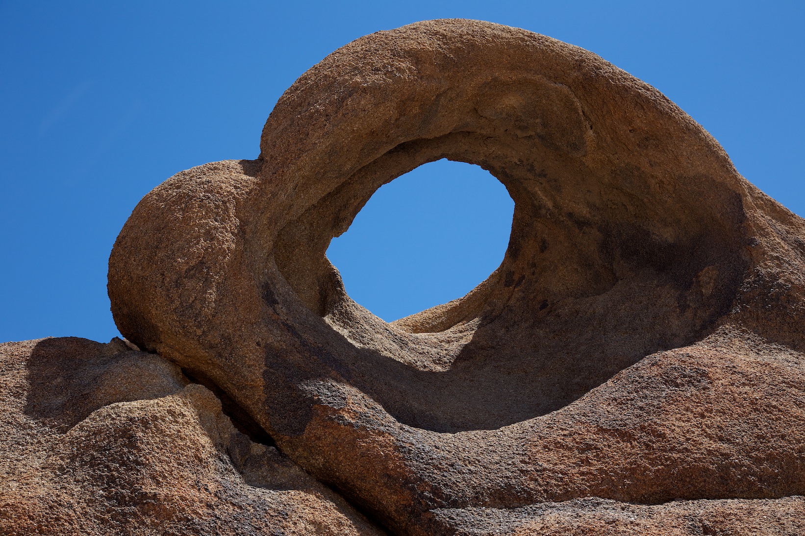
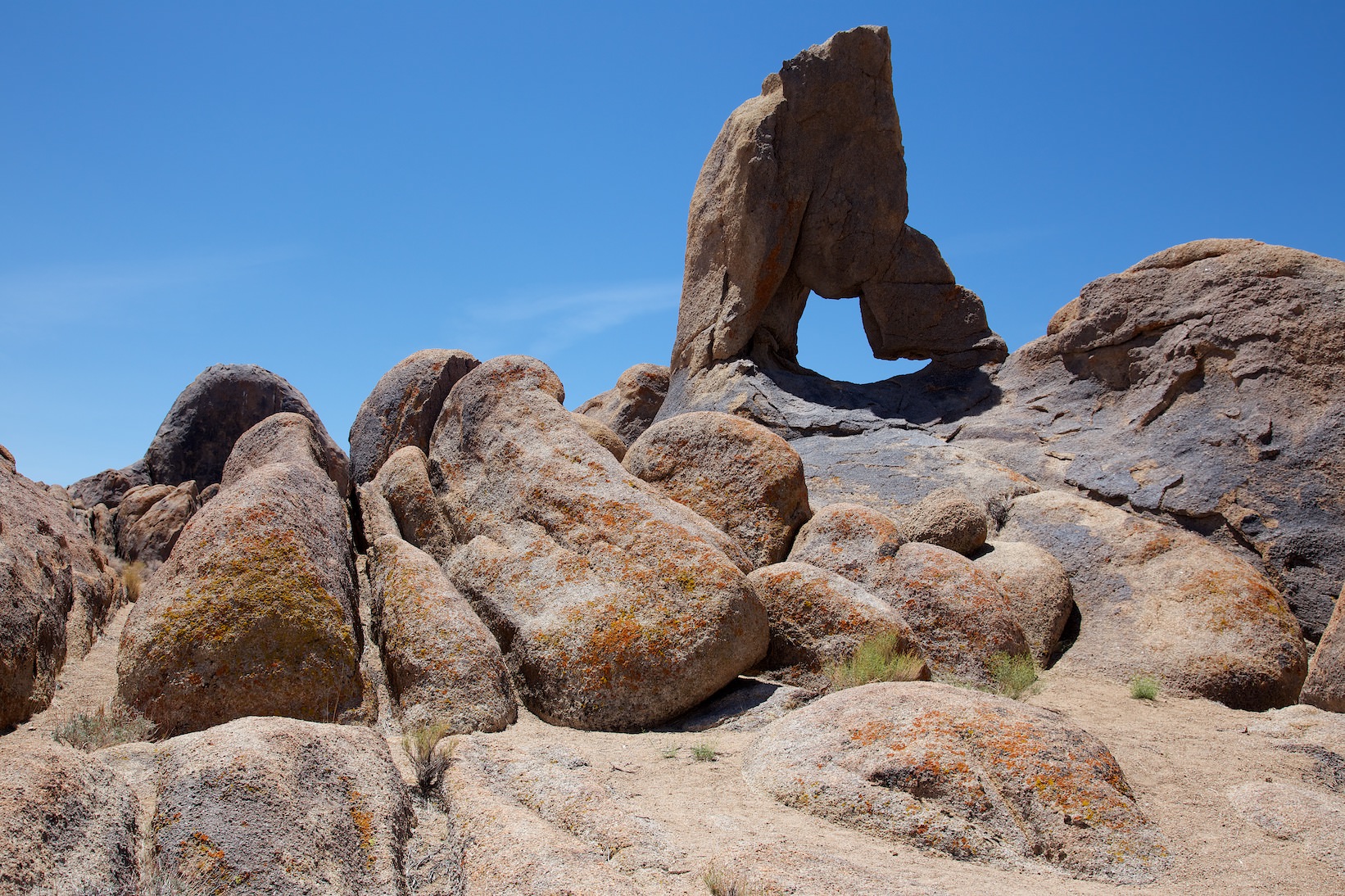
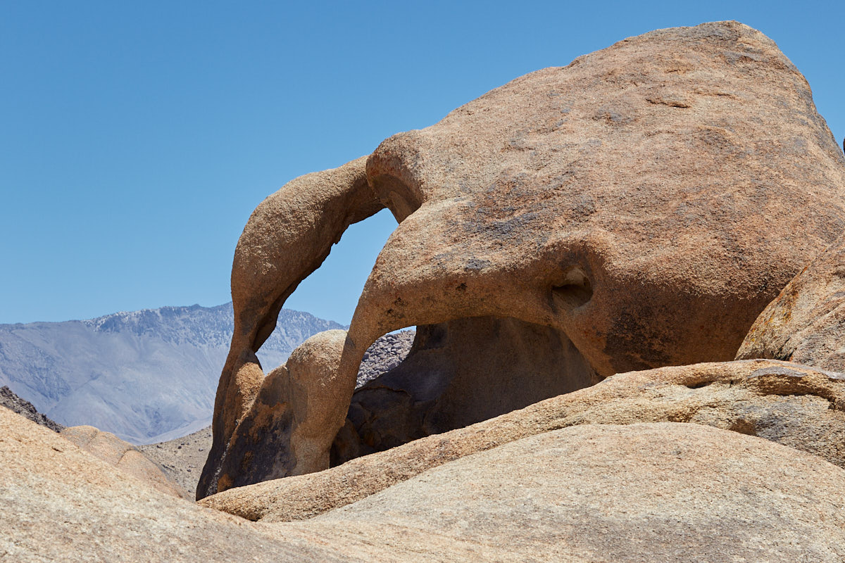
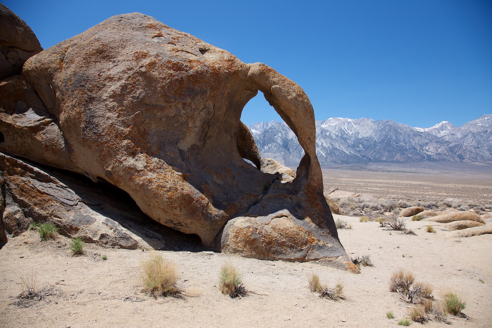
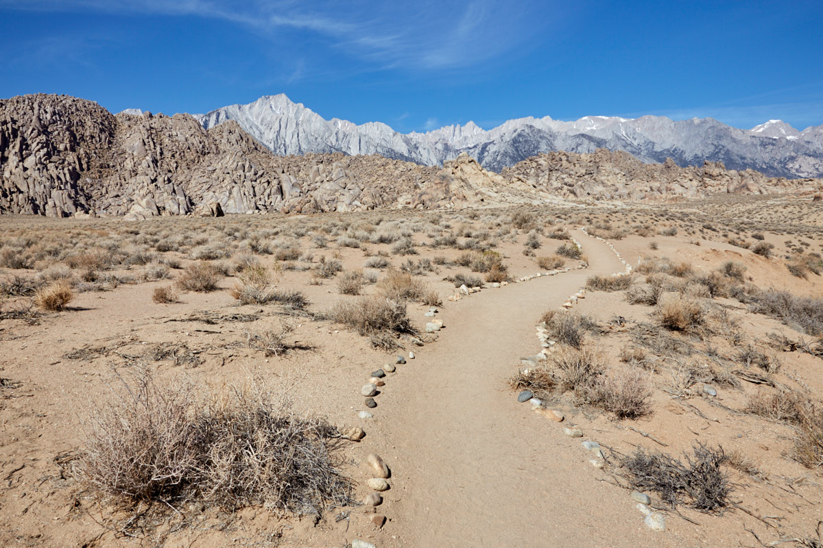
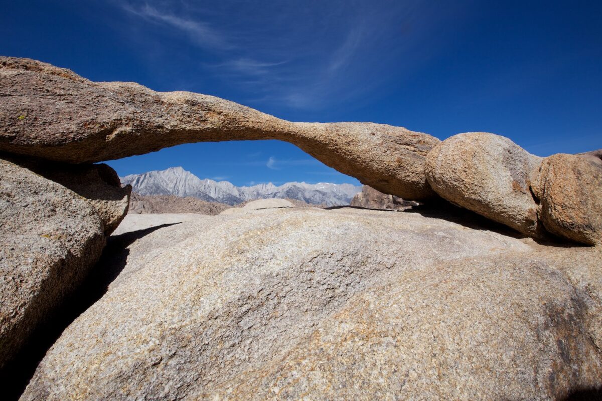
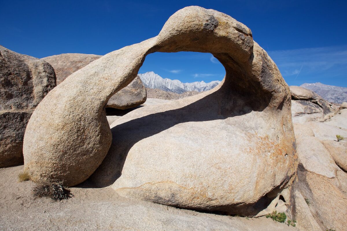
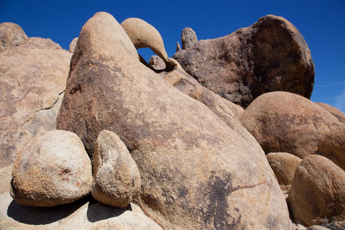
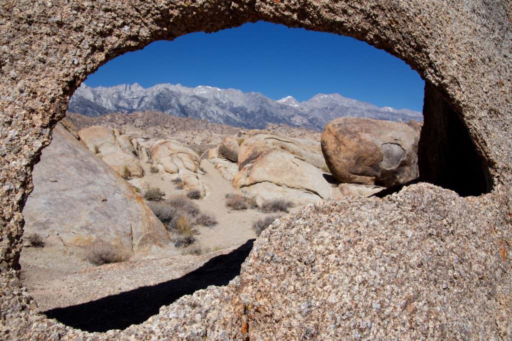
Description: Mobius Arch is probably the best known arch in the Alabama Hills. The trail is well marked and signposted. You are asked not to leave the trail. The trail is very easy to hike. It climbs and descends every now and then. Besides the Mobius Arch, there are a few more stone arches to discover on this trail.
Coordinates: Lathe Arch: Latitude 36.613463, Longitude -118.125939. Mobius Arch: Latitude 36.613673, Longitude -118.125721. Space Case Arch: Latitude 36.617133, Longitude -118.123998. Shark Tooth Arch: Latitude 36.613356, Longitude -118.122797. Heart Arch: Latitude 36.612473, Longitude -118.123781.
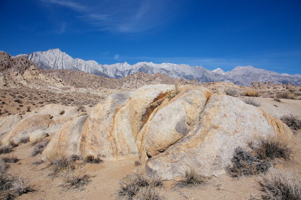
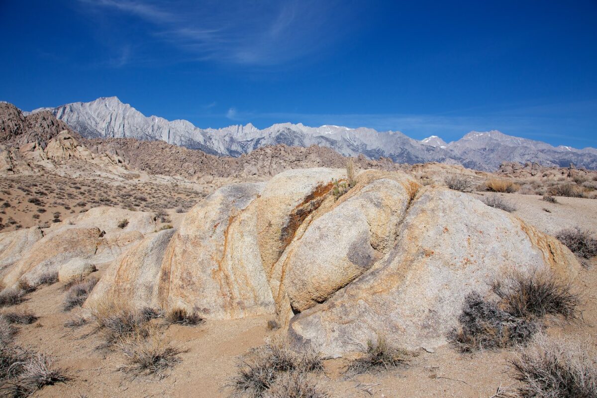
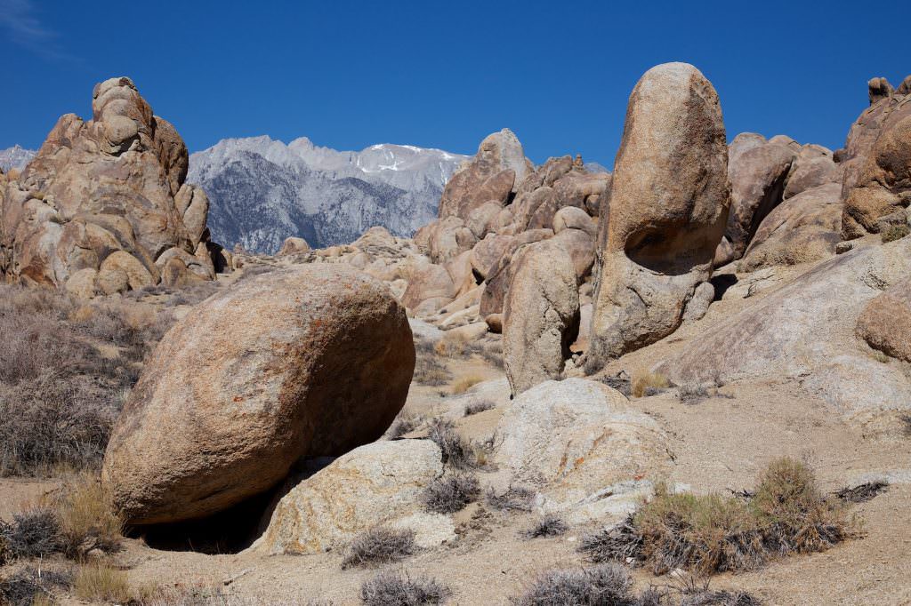
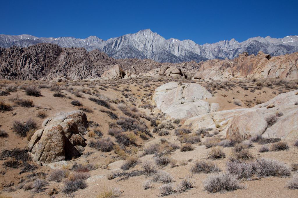
Our rating: We really liked this trail. The contrast between the rounded granite rocks in the Alabama Hills and the pointed and rugged mountains of the Sierra Nevada is great. Add to that the unusually shaped arches. If you are in the area, you should not miss the Alabama Hills. Absolute recommendation!
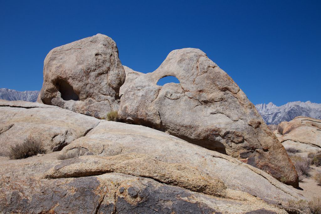
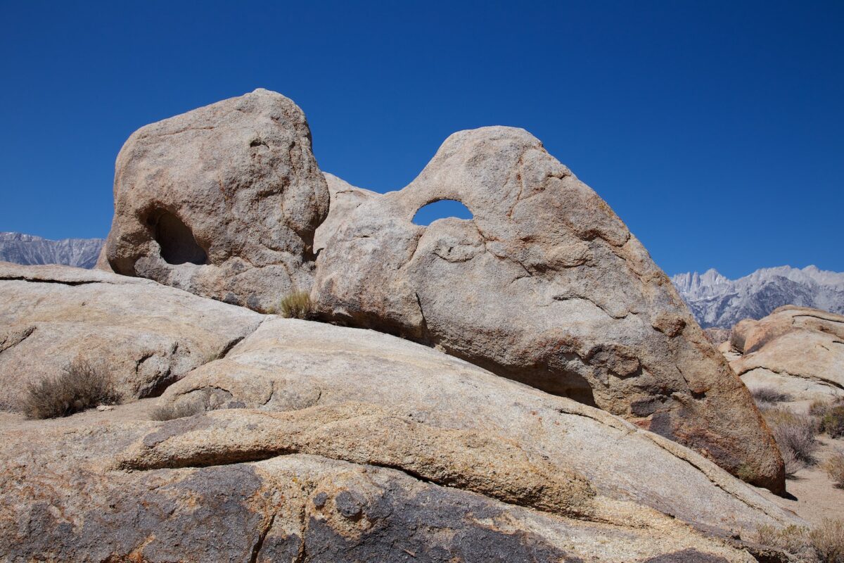
Description: You are able to see the Eye of Alabama (Coordinate: Latitude 36.615484, Longitude -118.118728) directly from the road. To get there, simply park on the side of the road and climb the hill.
Trail length: 2297ft Altitude difference: 213ft Time needed: approx. 30 minutes Difficulty level:easy - There is no trail here, but the terrain is easy to walk on.
Our rating: Easy to reach and pretty to look at. Here you can stop and take a look.
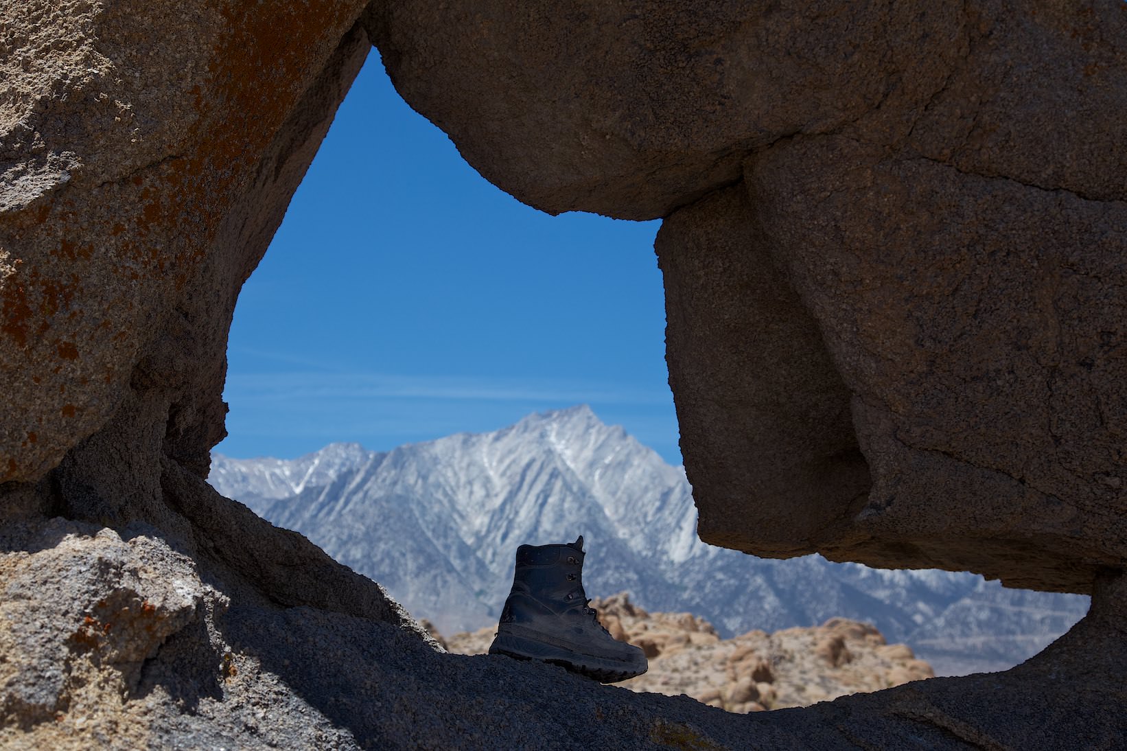
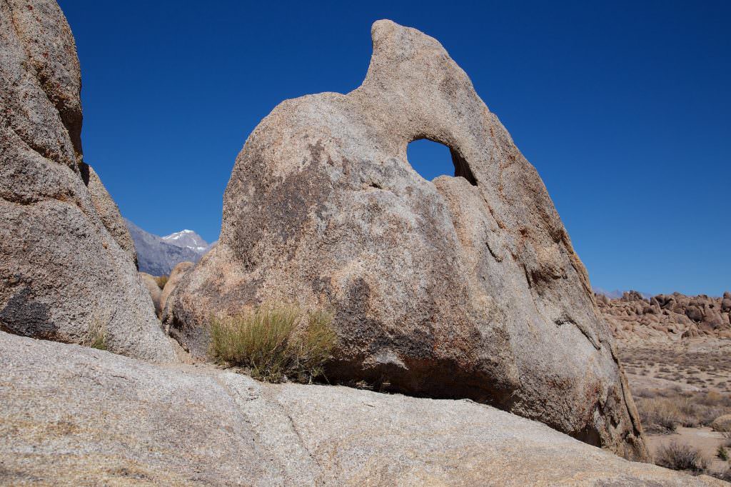
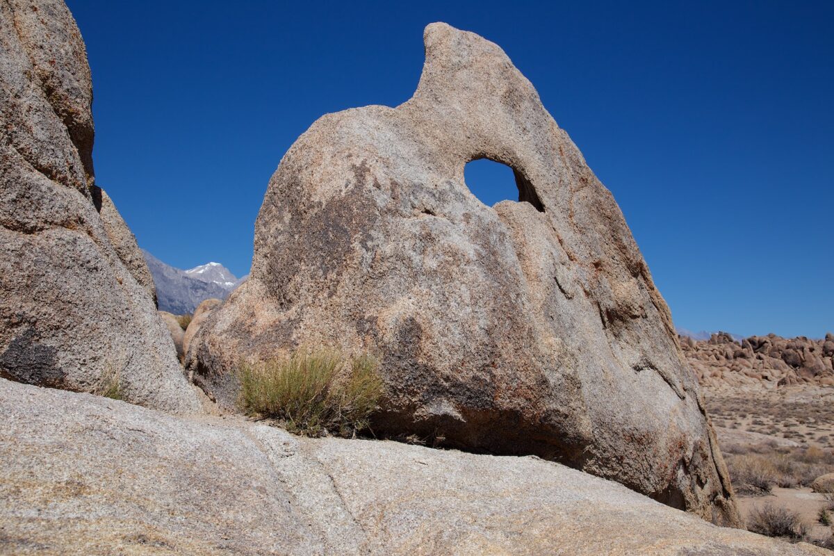
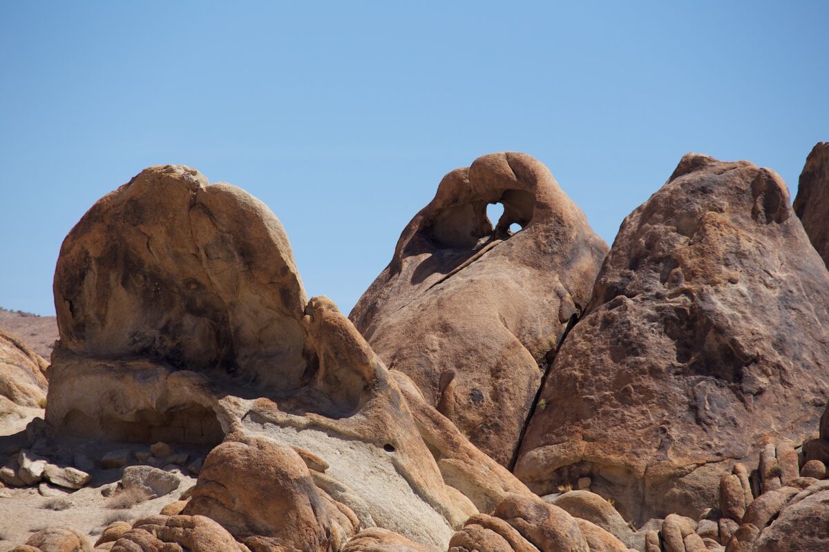
Description: Boot Arch (Coordinate:Latitude 36.632777, Longitude -118.131453) has its name from its shape. It is very easy to reach. You park right on the side of the road and hike a few hundred feet cross-country. The gpx data of the drive and the walk can be found at the top of this page.
Trail length: 1804ft Altitude difference: – Time needed: approx. 30 minutes Difficulty level:easy - Here, the rough drive is harder than getting to the Arch.
Our rating: This is, next to the Mobius Arch, my favorite arch.
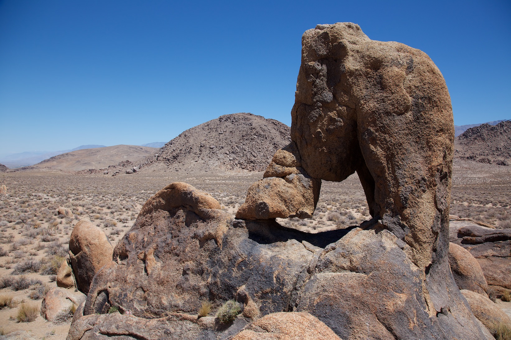
Description: The farther you get from the main road, the rockier and rumbling the ride becomes. To get here, you should have some high clearance on your car. Otherwise, the drive should not be a problem in dry weather. Coordinate: Latitude 36.629260, Longitude -118.133357. GPX data of the drive and the hike can be found at the top of this page.


