Capitol Reef National Park mainly protects the area around the Waterpocket Fold. Capitol Reef National Park mainly protects the area around the "Waterpocket Fold", a geologically interesting earth fold. You can see canyons, arches and a lot of great sandstone formations. The area was elevated to the status of a national park in 1971.
Visitor number 2000
0
Visitor number 2010
0
Number of visitors
In 2025, Capitol Reef NP ranked 22nd in the visitor statistics of the most visited national parks. Best time to visit:Spring and autumn. From June to October you can also harvest fruit from the fruit trees in Fruita. Our visits: So far 6 visits: April 1997, October 2009, October 2011, February 2016, October 2018, April 2022
*The America the Beatiful pass is so to speak the "flat rate" for all Parks managed by the National Park Service. The pass costs a one-time fee of $250 and can be purchased at the entrance to each National Park, National Monument, etc. The pass is valid for 13 months.
Our rating:Yes quite nice, you can certainly stop by.
☆☆☆☆☆Bewertet mit 3 von 5
Goosenecks Overlook
Goosenecks Overlook
Goosenecks Overlook
Goosenecks Overlook
Goosenecks Overlook
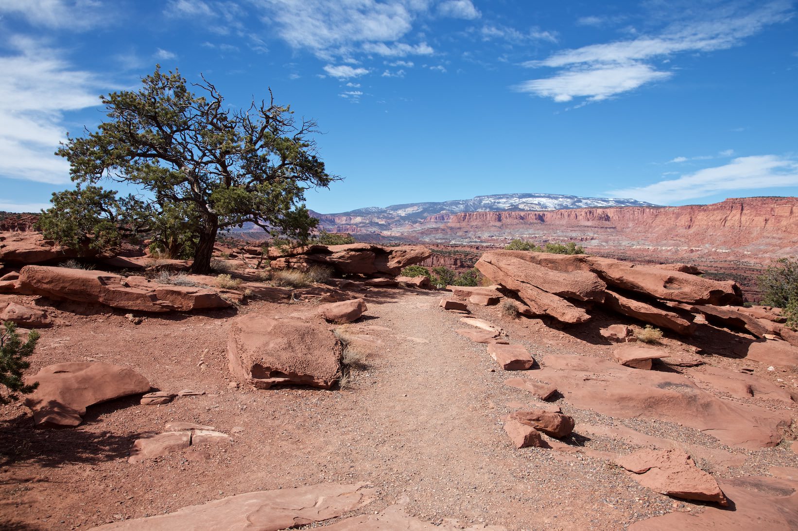
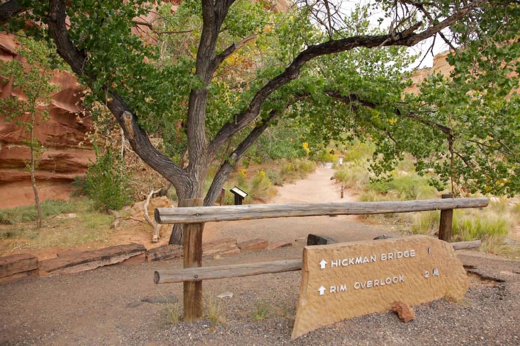
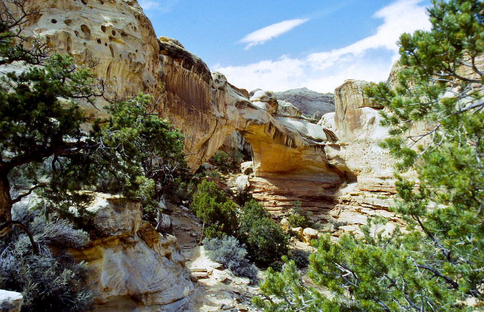
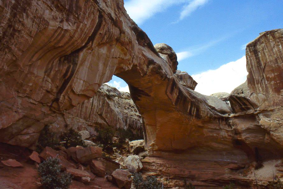
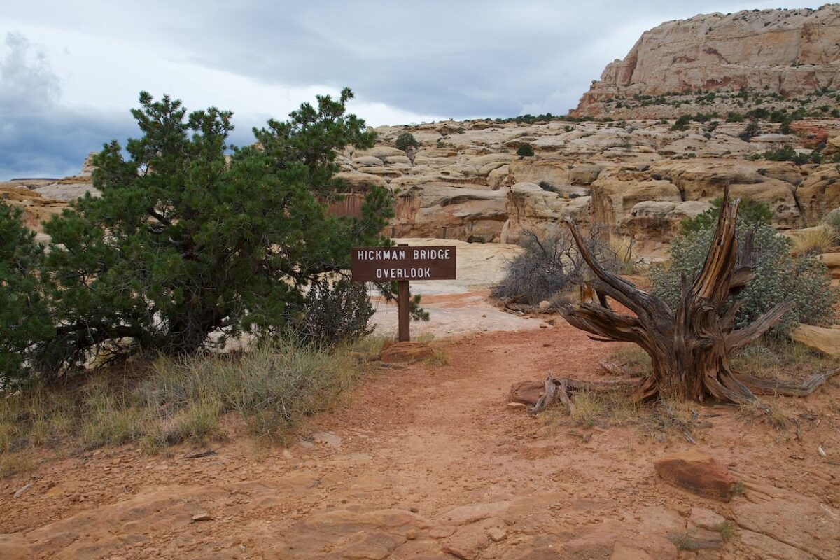
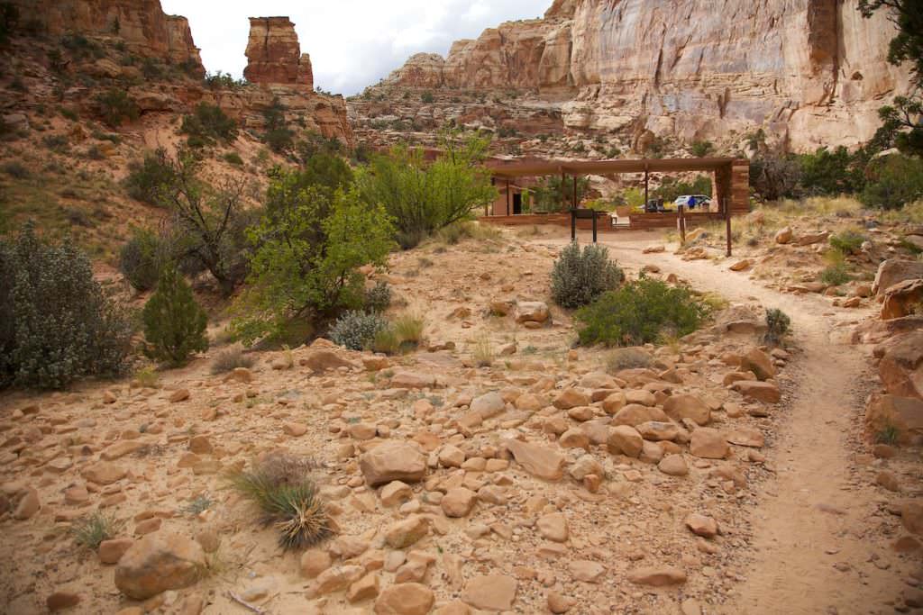
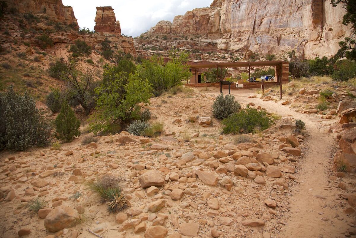
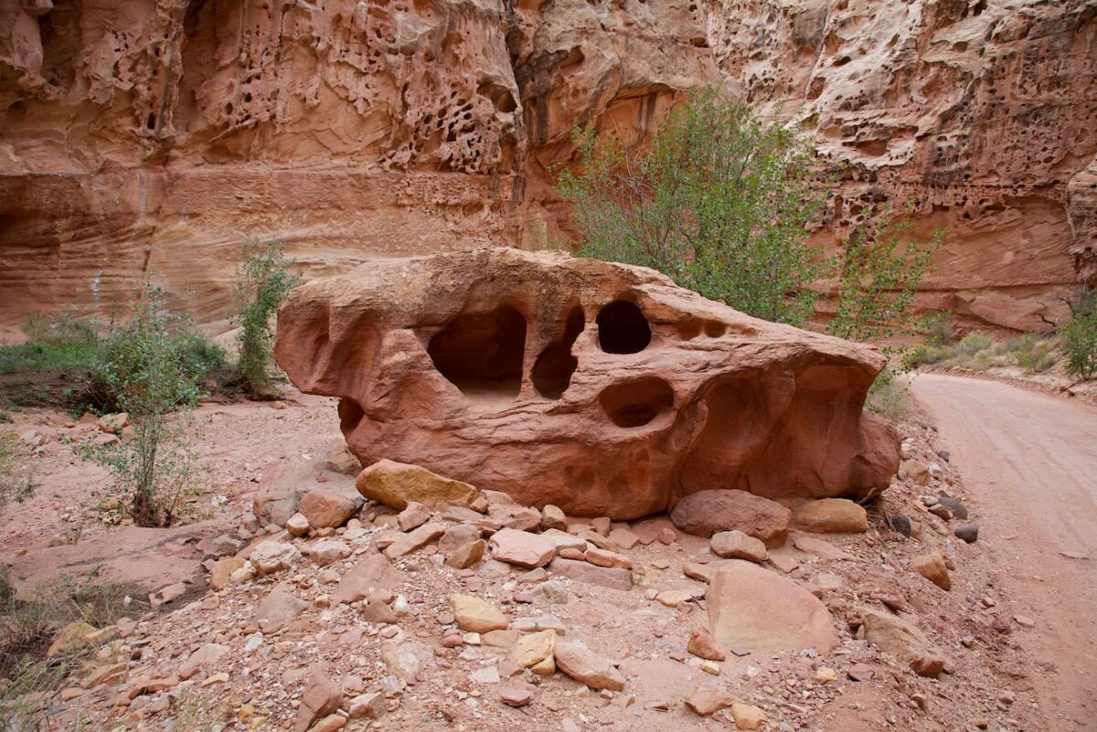
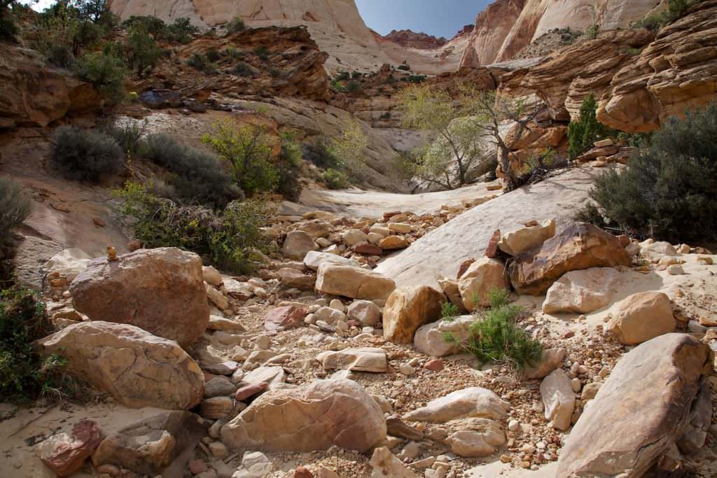
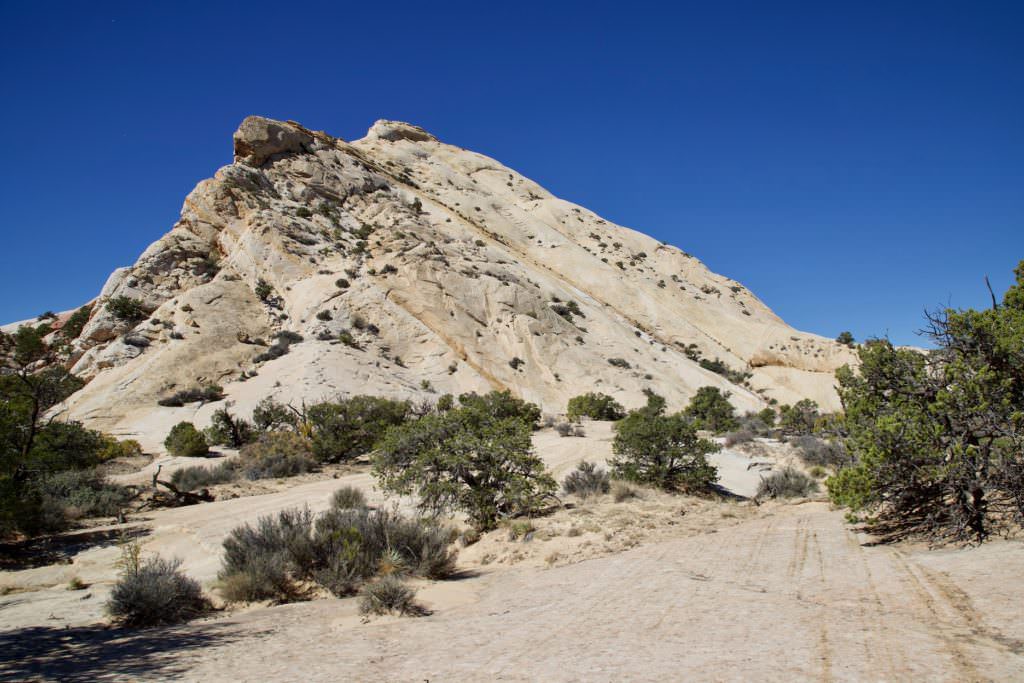
Hickman Bridge
Description: The Hickman Bridge trail is probably one of the busiest trails in the Park. Since several hikes leave from the trailhead, it is also always very crowded. The trail leads steadily uphill. But since it is not very long, the entire hike is not overly strenuous. It leads almost only over slickrock and is quite good to walk.
Trail length: 1.7mi roundtrip Altitude difference: 400ft Time needed: 1-2 hours Difficulty level:easy - The trail is easy to hike but only leads uphill, so it may be a bit strenuous.
Our rating:The bridge is great and the hike is also very suitable for people who do not want to make very long hikes. We liked the hike and we can recommend it.
☆☆☆☆☆Bewertet mit 3.5 von 5
Hickman Bridge
Hickman Bridge
Hickman Bridge
Hickman Bridge
Hickman Bridge
Hickman Bridge
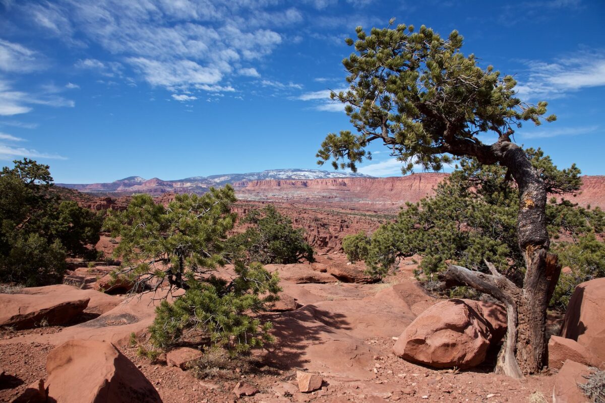
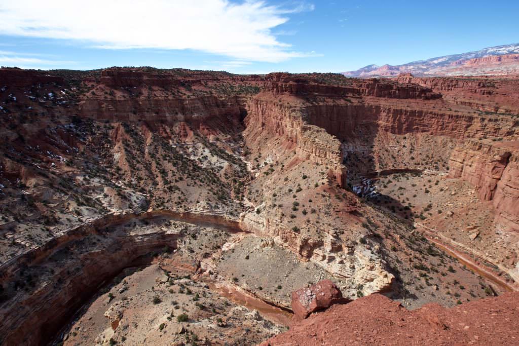
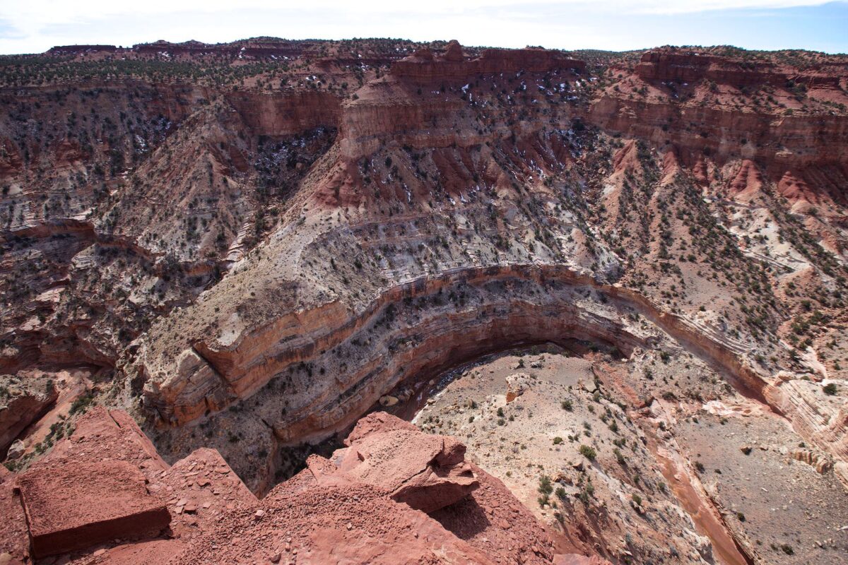
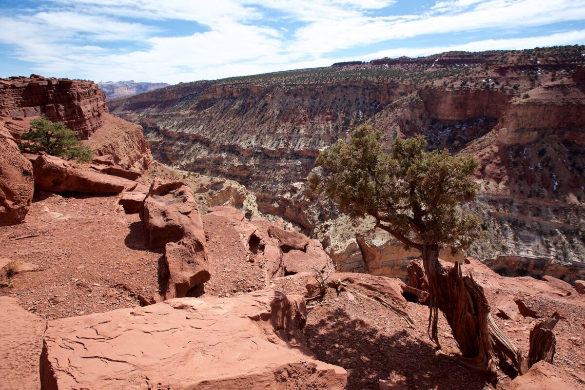
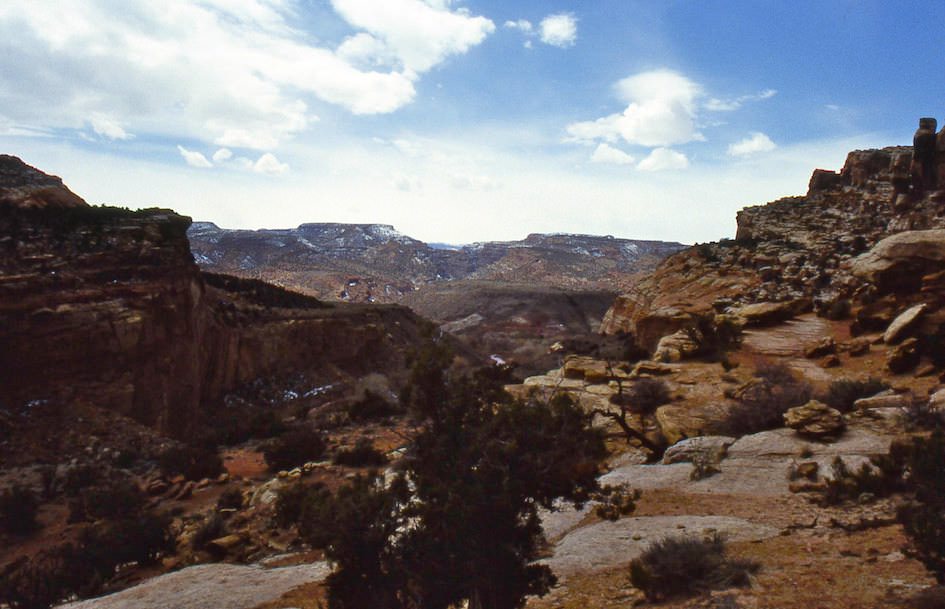
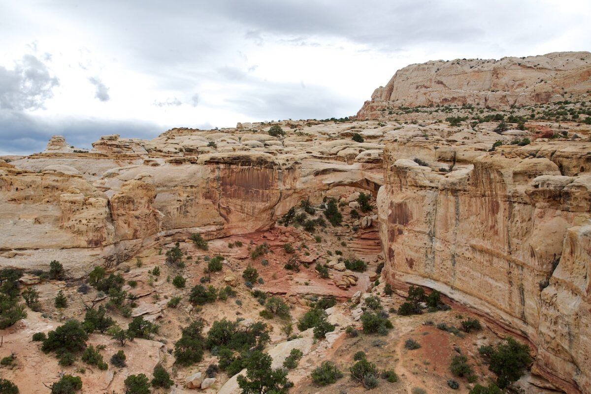
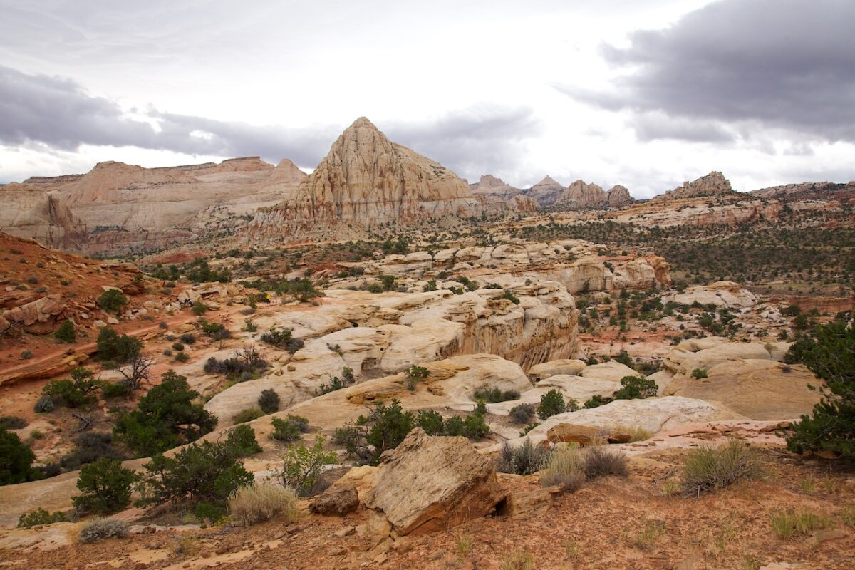
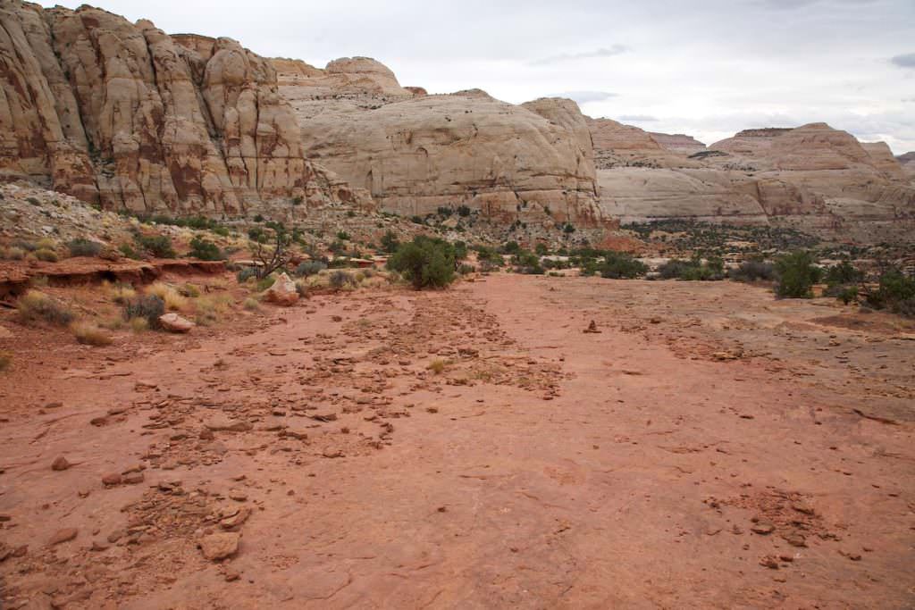
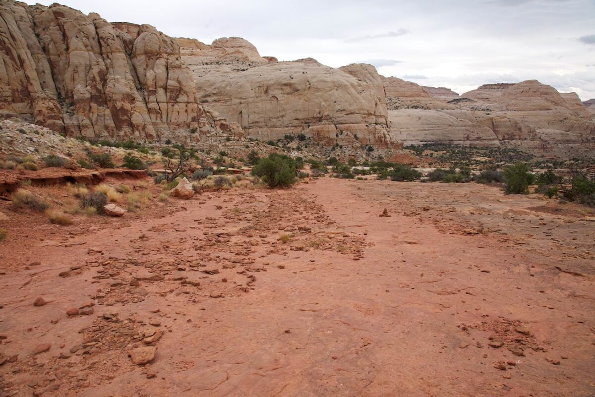
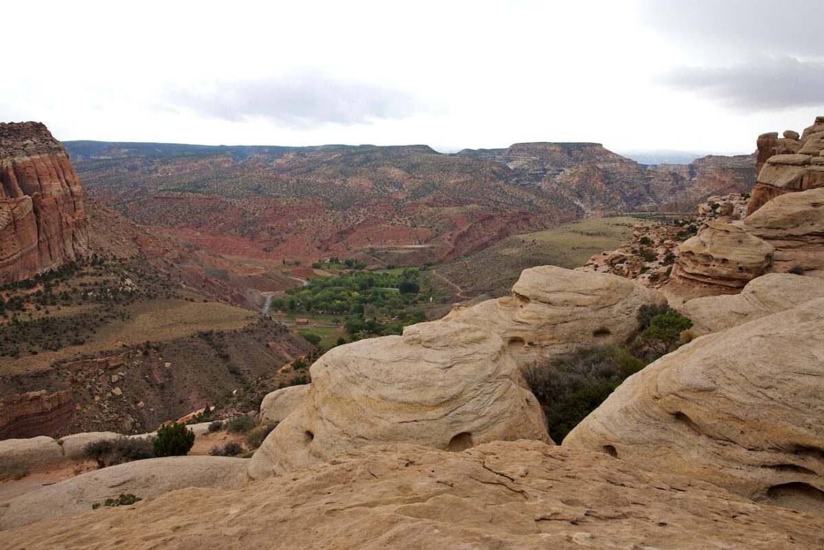
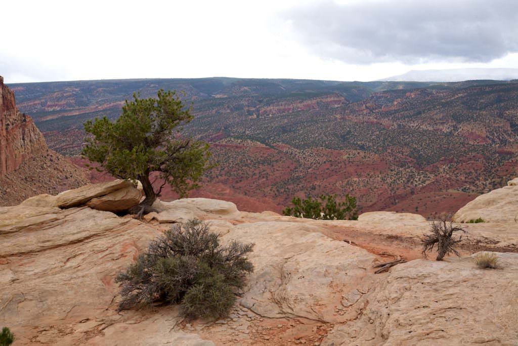
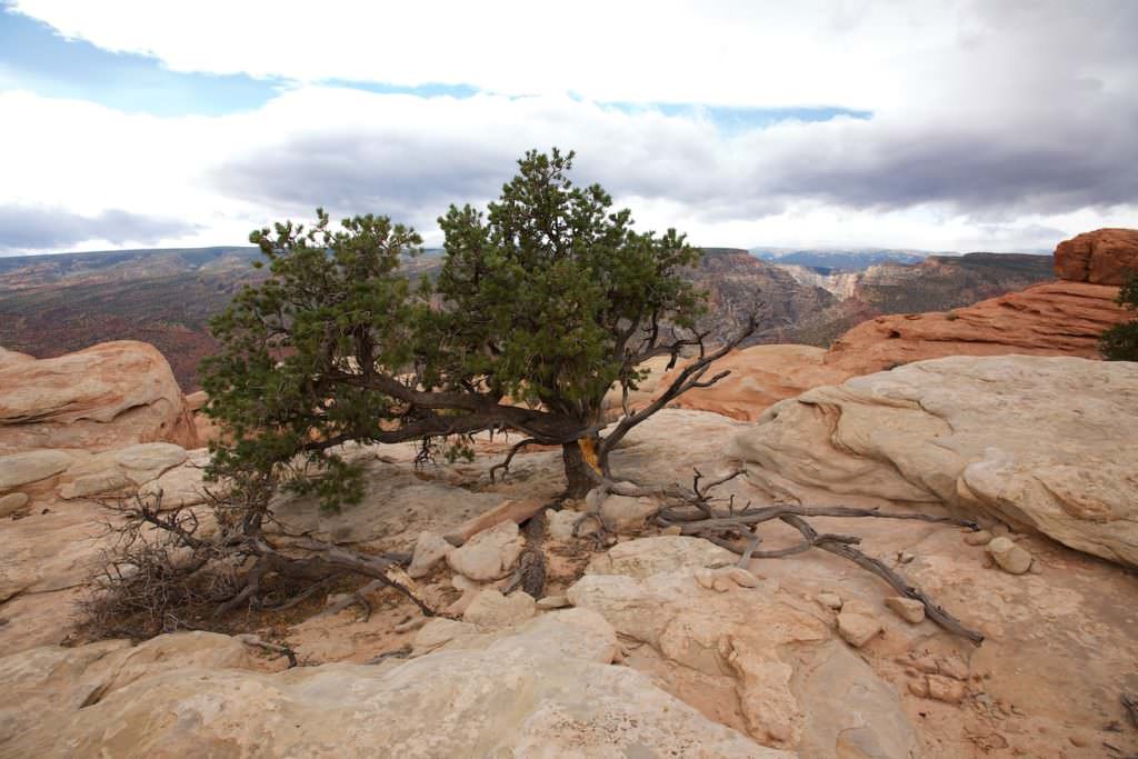
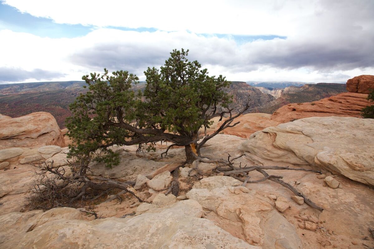
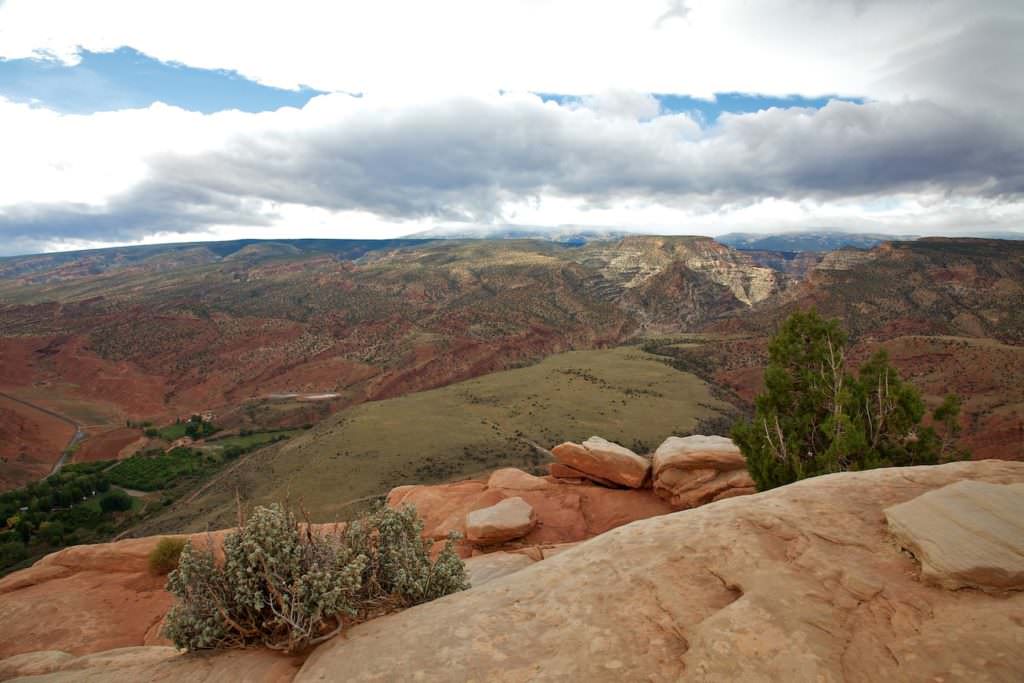
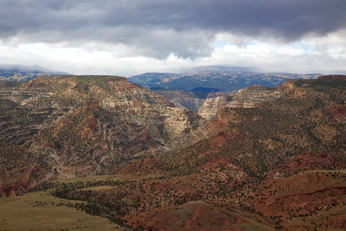
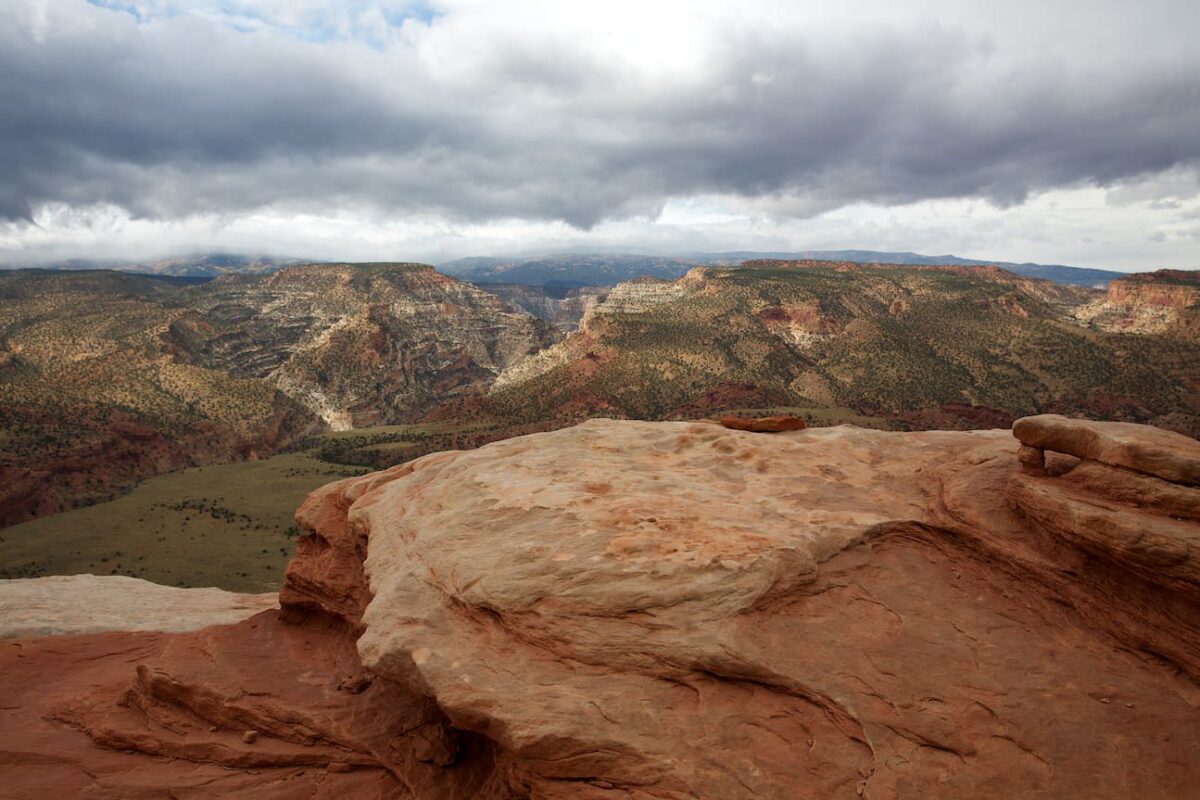
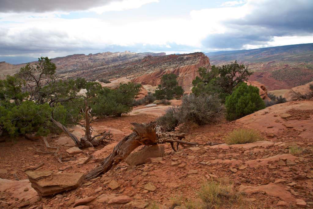
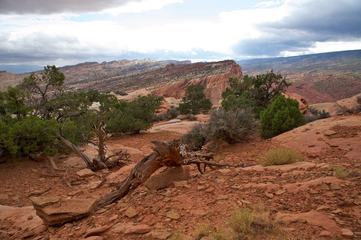
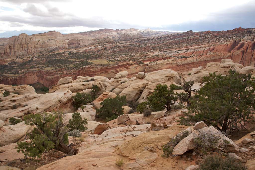
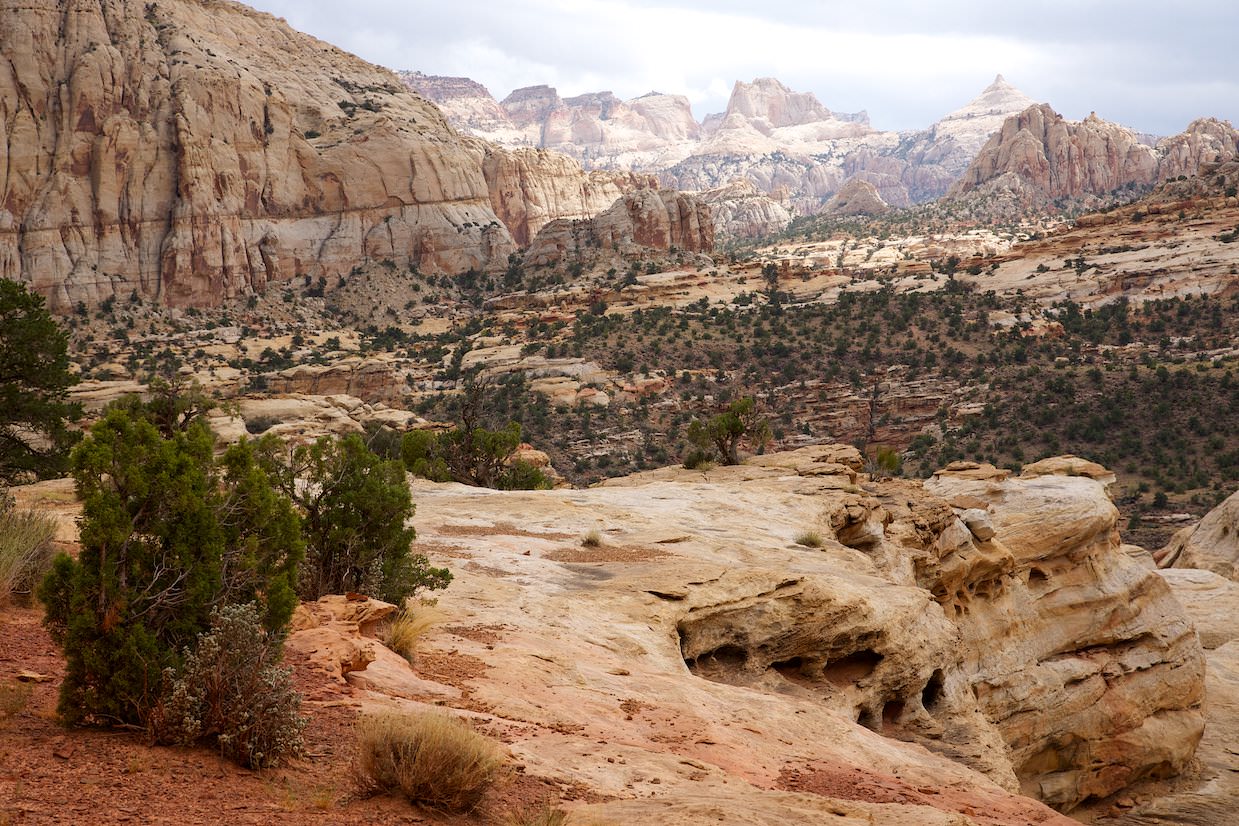
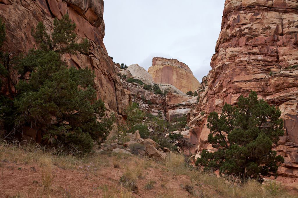
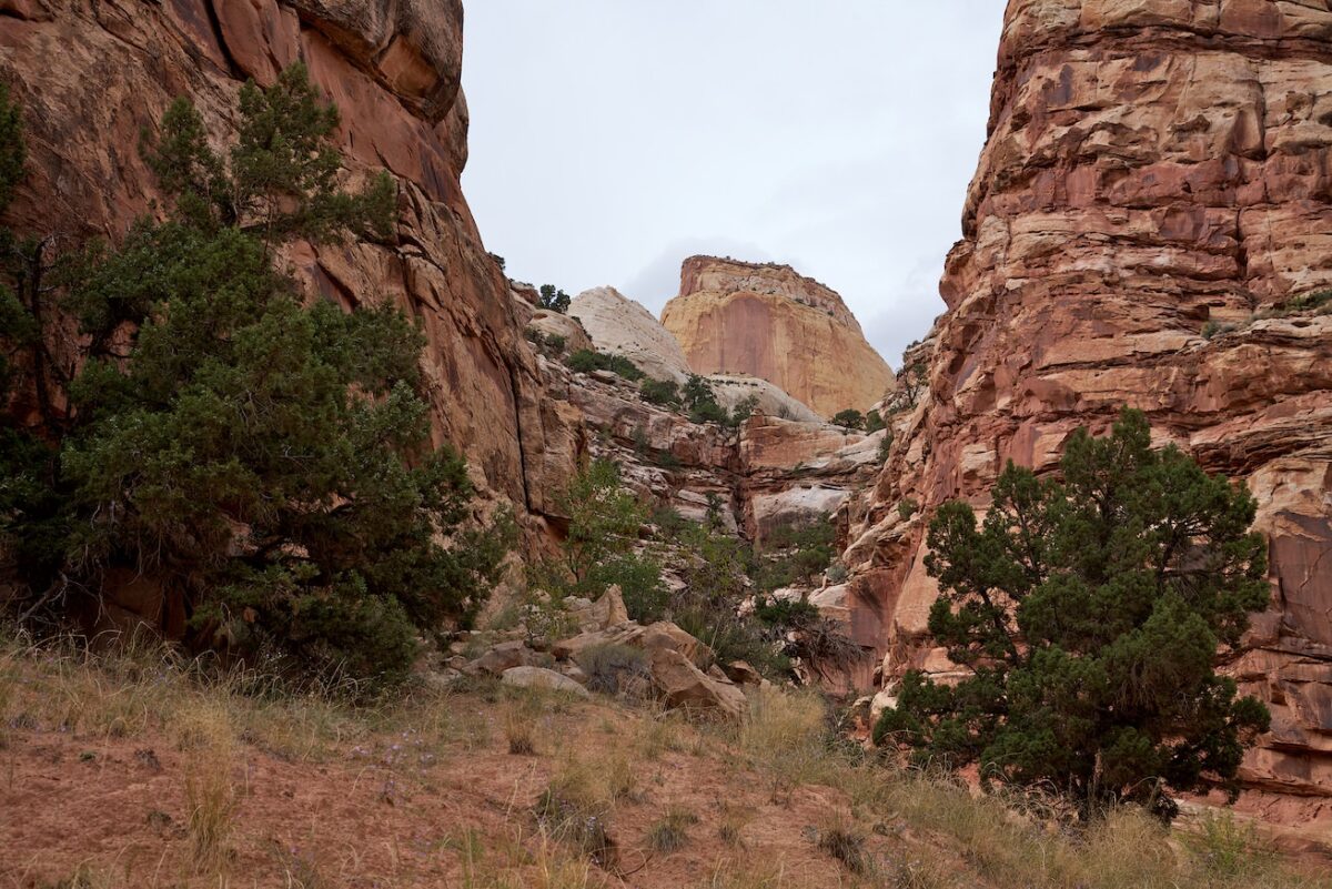
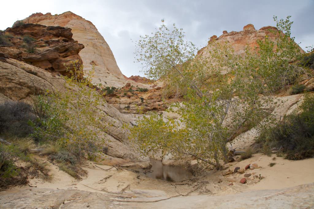
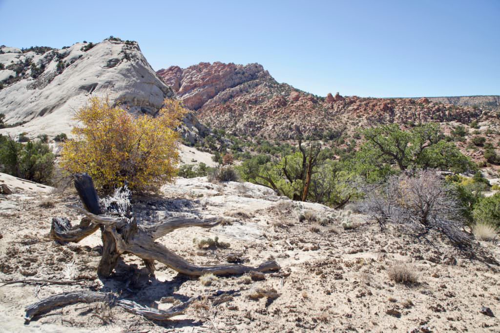
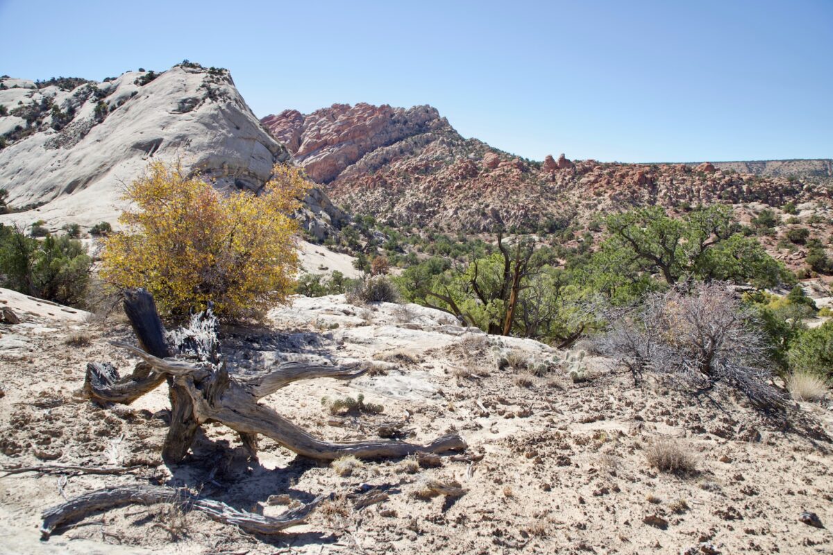
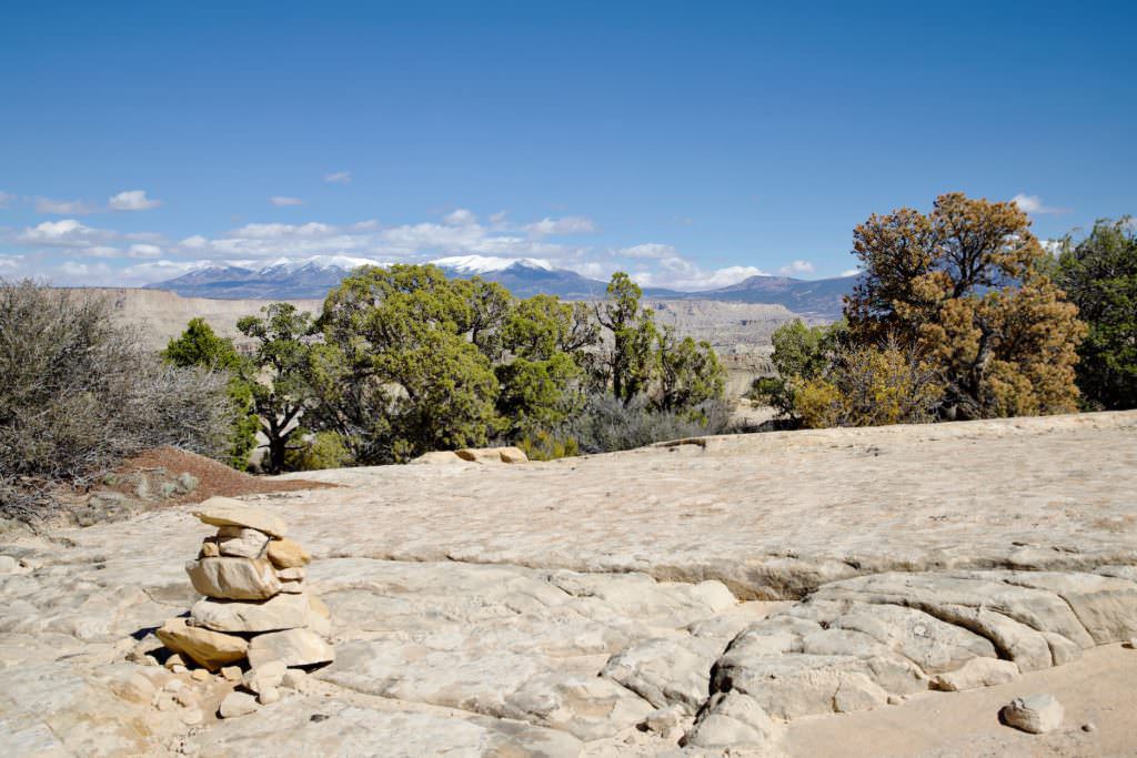
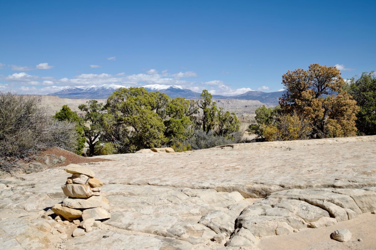
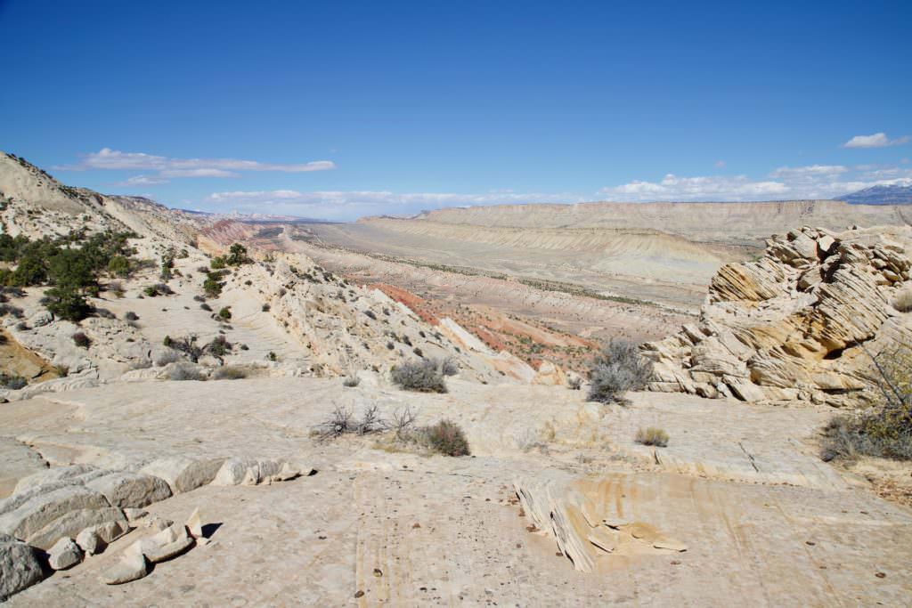
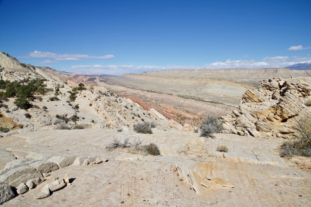
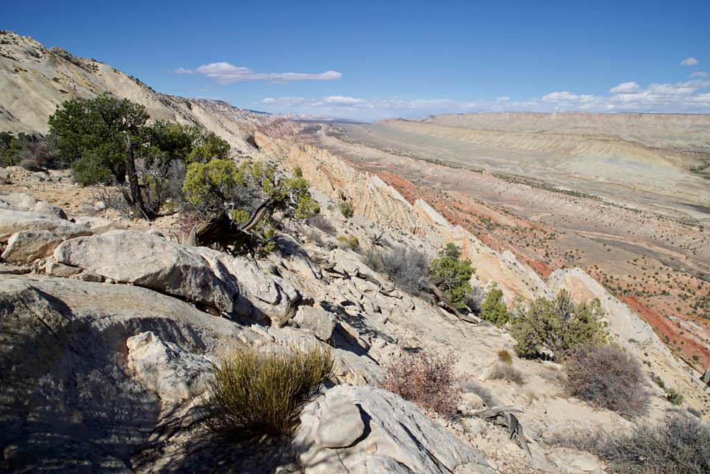
Rim Overlook
Description: This trail starts from the same trailhead as the Hickman Bridge trail. After a few hundred yards uphill, the trail splits and the Rim Overlook Trail continues to wind uphill. The higher you get, the better the views get. You first pass the Hickman Bridge Overlook before arriving at the Rim Overlook after 2.2mi and 1109ft of elevation gain.
Trail length: 4.5mi roundtrip Altitude difference: 1109ft Time needed: 3-4 hours Difficulty level:moderate - The trail is well developed and in principle easy to hike, but it is 2.3mi uphill to the Overlook and that is exhausting.
Our rating: The hike is great, but strenuous. It's practically uphill all the way to the overlook. But there are often opportunities to catch your breath along the way, because the views are so beautiful that you just have to pause. In contrast to the Hickman Bridge, you're practically on your own here and have nature to yourself.
☆☆☆☆☆Bewertet mit 4 von 5
Rim Overlook
Rim Overlook
Rim Overlook
Rim Overlook
Hickman Bridge view from above
Rim Overlook
Rim Overlook
Rim Overlook
Rim Overlook
Rim Overlook
Rim Overlook
Rim Overlook
Rim Overlook
Rim Overlook
Rim Overlook
Rim Overlook
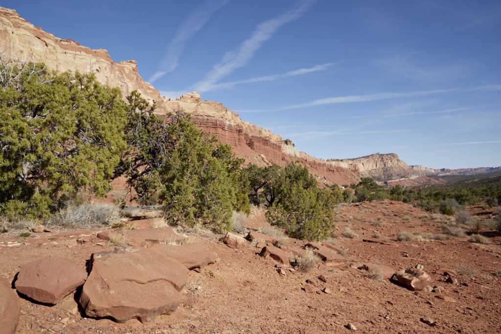
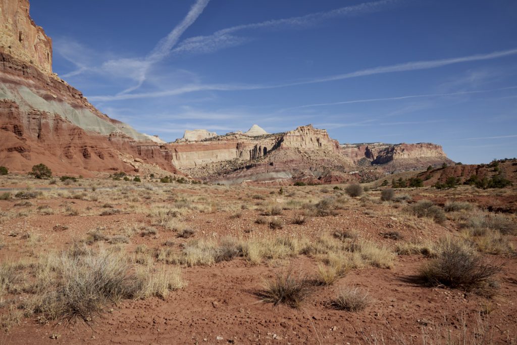
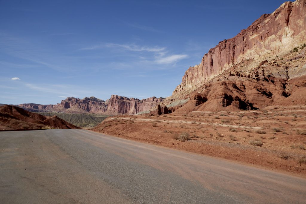
Scenic Drive
Description: The 8mi long Scenic Drive is a junction from Highway 24 that runs through the park. Highway 24 is a public road and therefore not chargeable. If you want to drive south on the Scenic Drive, you have to pay the National Park entrance fee. Of course, the Annual Pass also applies here. The Scenic Drive is a panoramic road and offers beautiful rock formations and photo opportunities. It is also the access point to Capitol George, the Golden Throne, and various trailheads for hiking.
Our rating:Most visitors probably stay on the highway that leads through the park. However, we think that a detour via the Scenic Drive is well worth it.
☆☆☆☆☆Bewertet mit 3 von 5
Scenic Drive
Scenic Drive
Scenic Drive
Scenic Drive
Scenic Drive
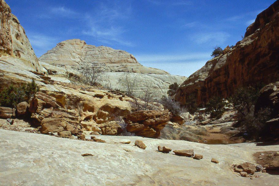
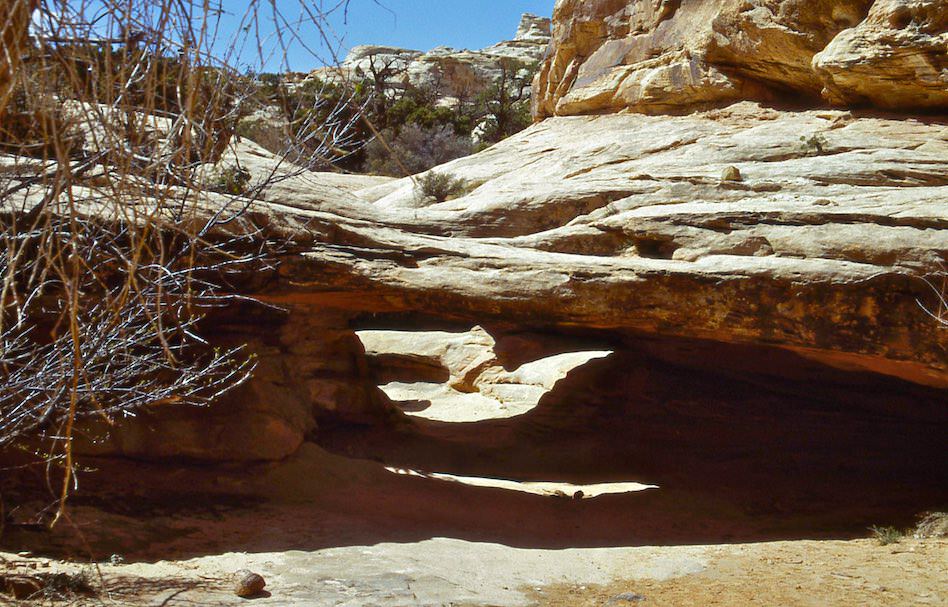
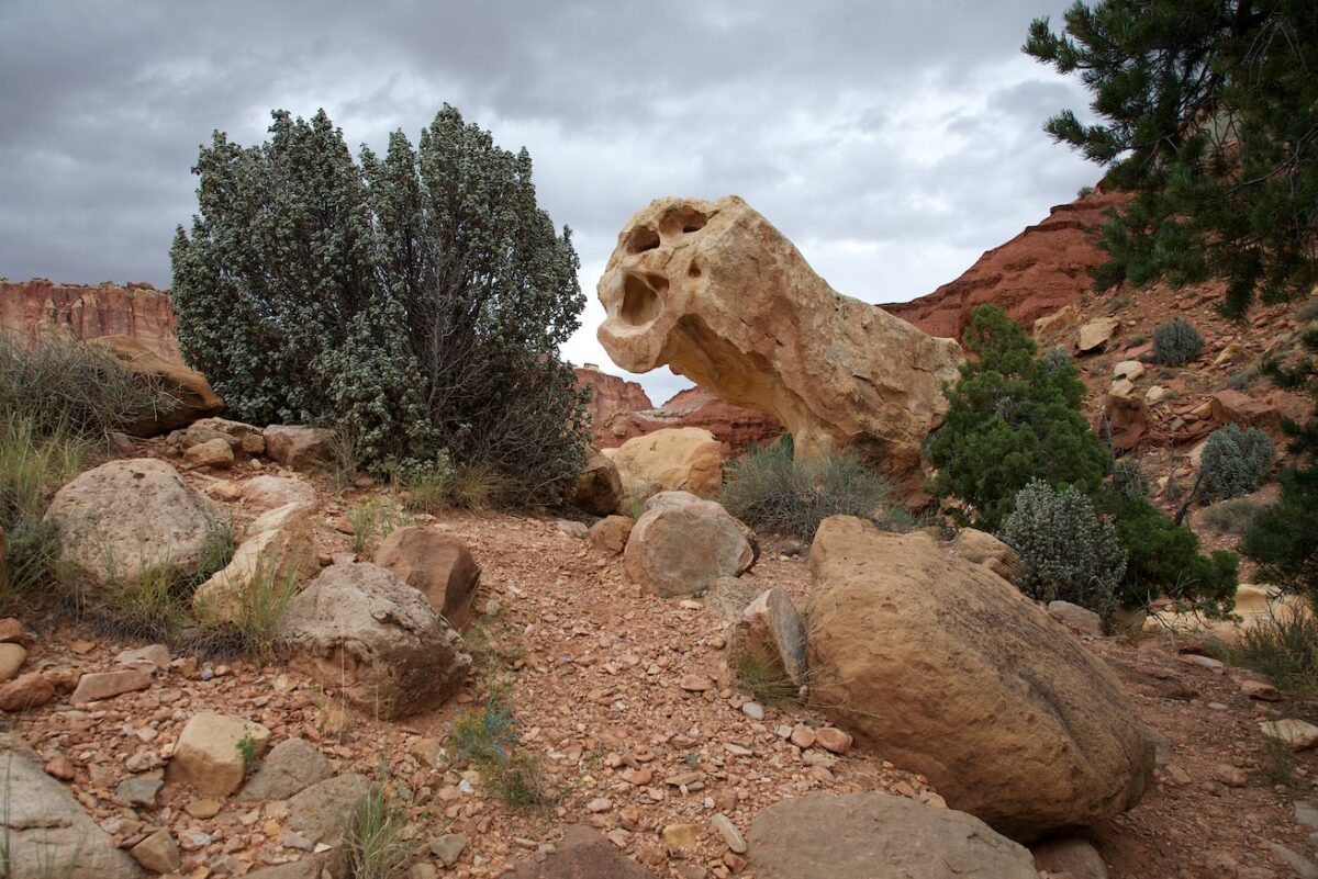
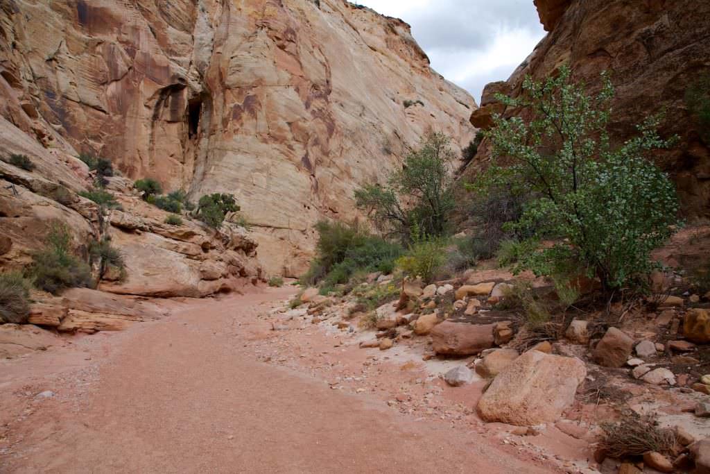
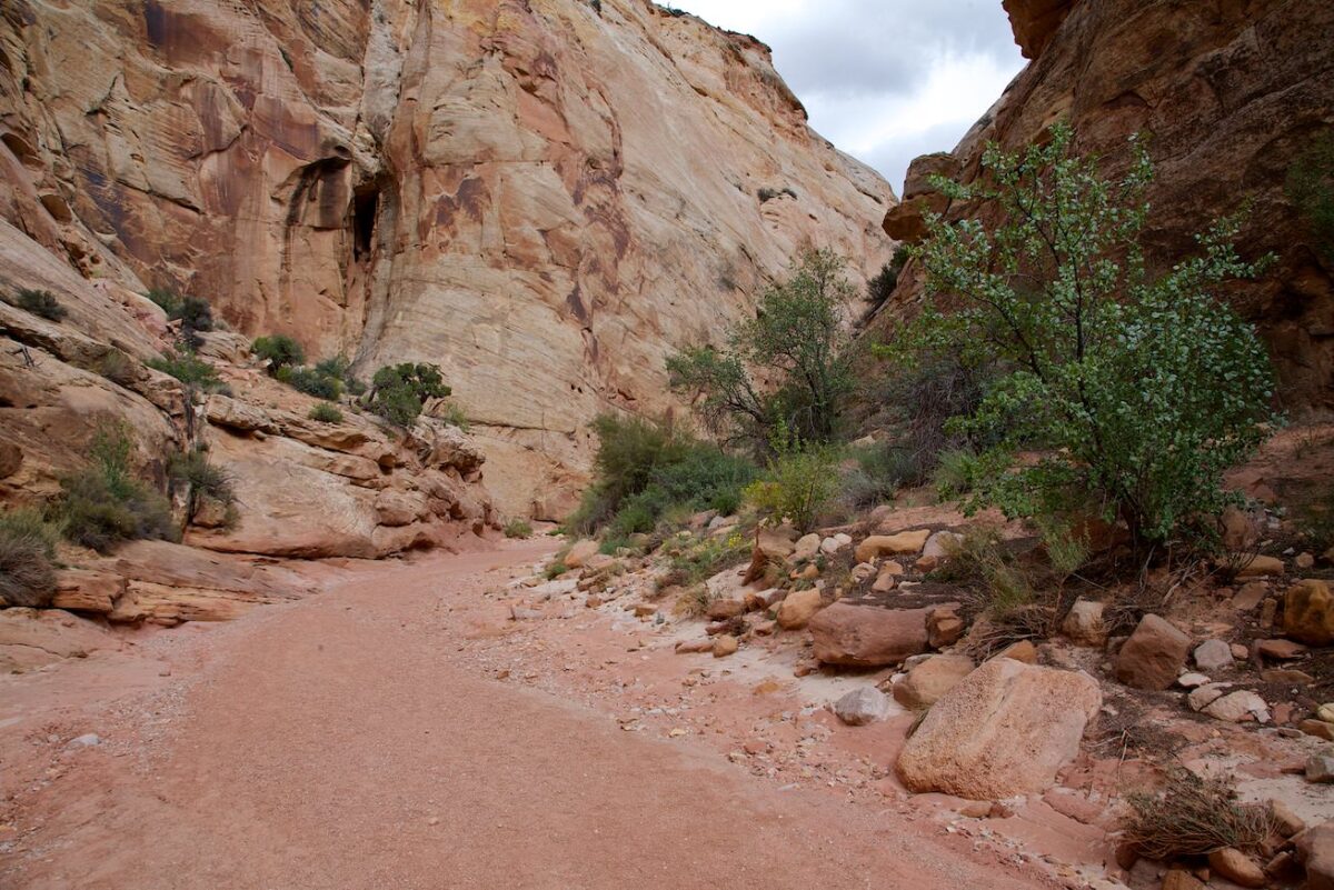
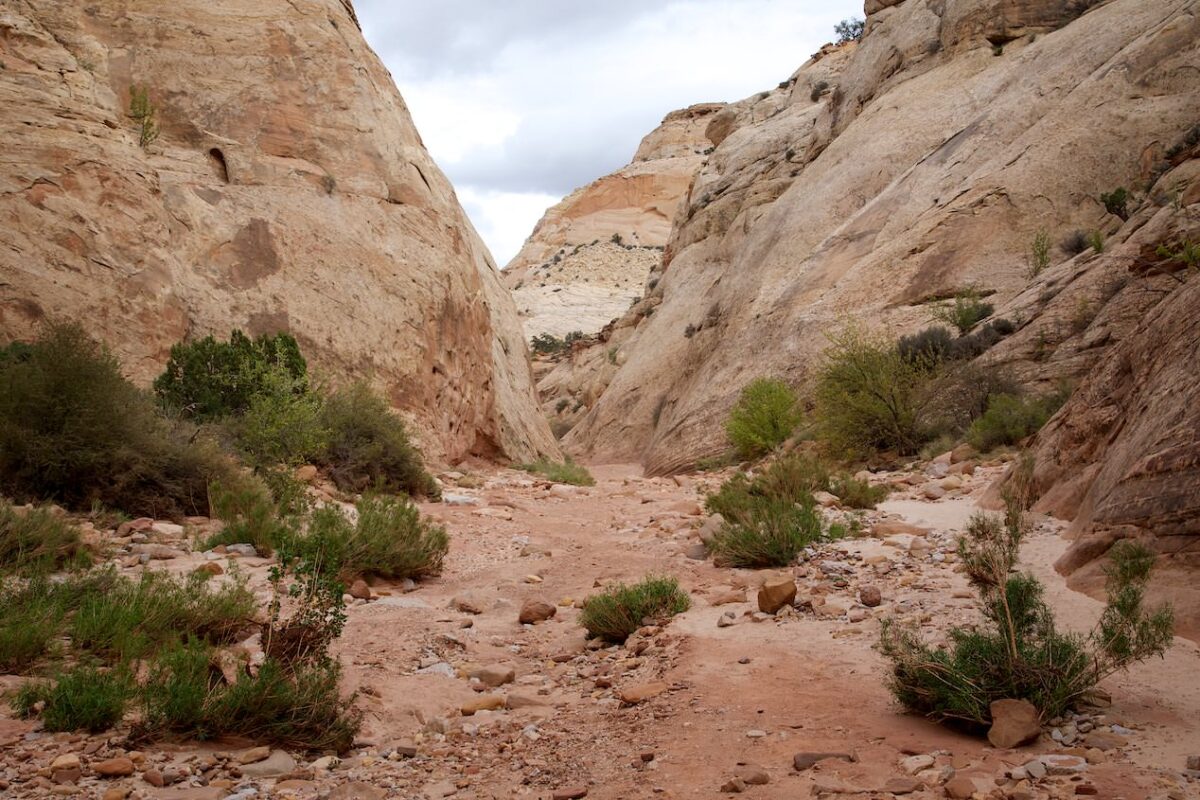
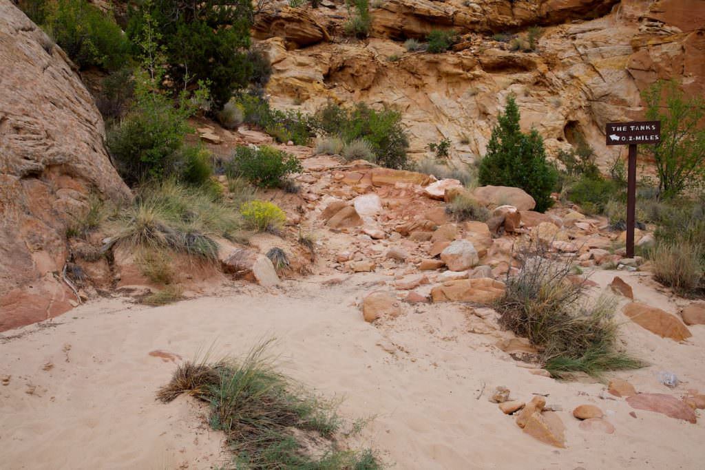
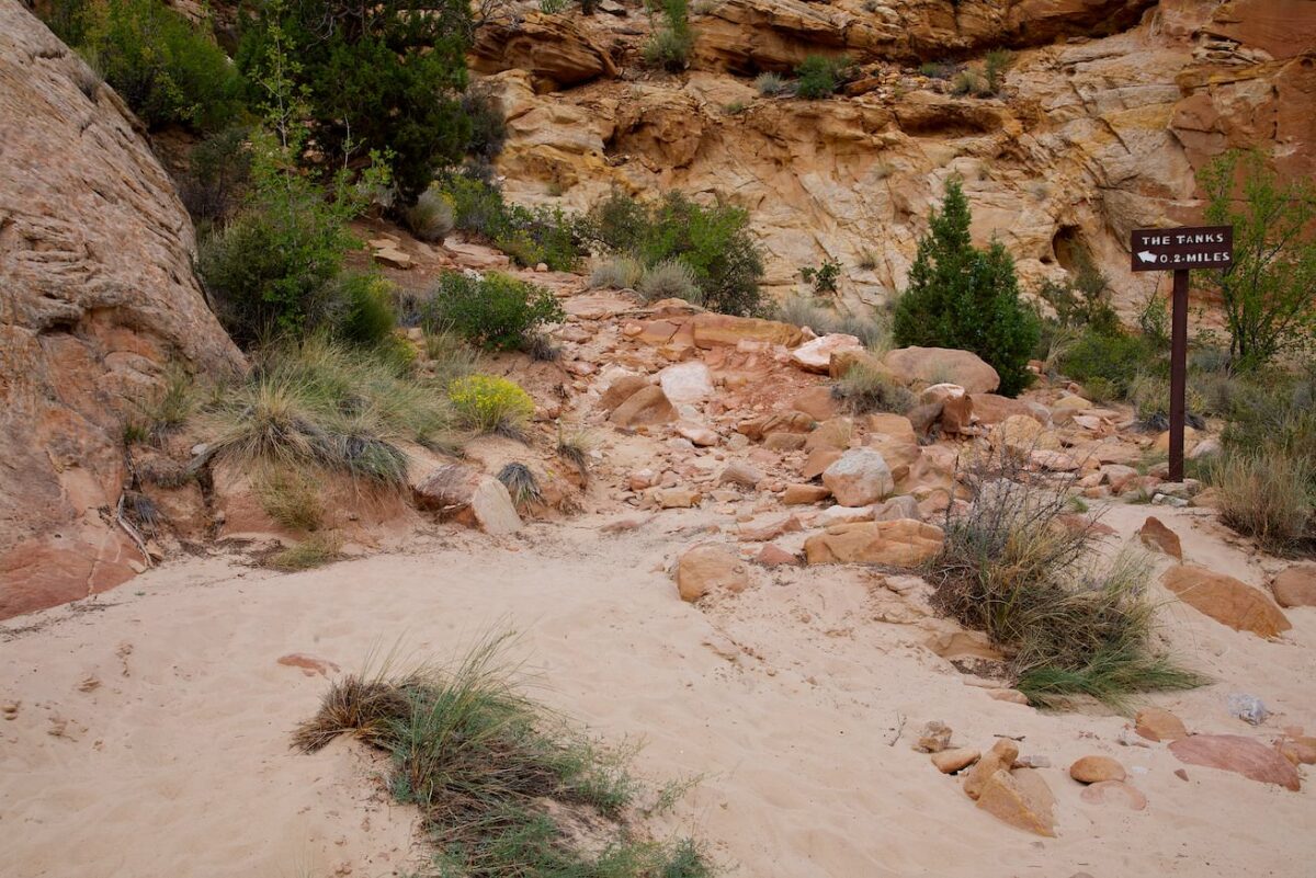
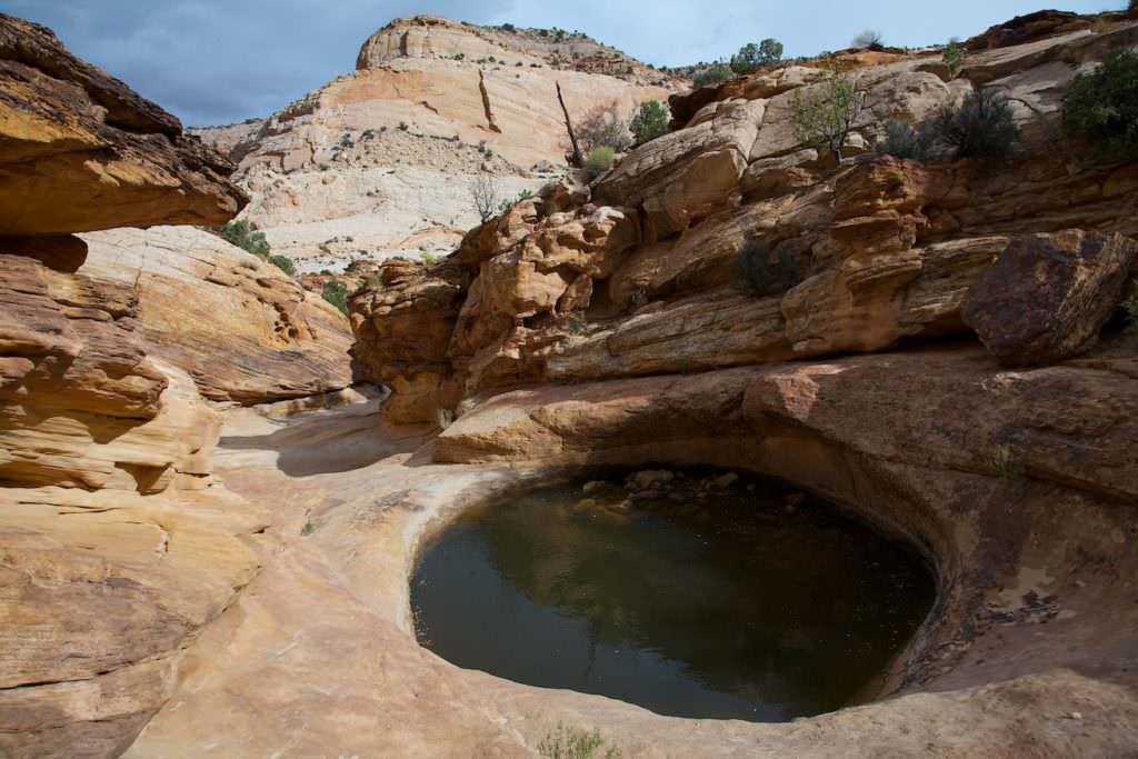
Capitol Gorge
Description: The Capital Gorge is a great canyon with a dirt road leading through it. You drive along between towering rock walls. Several hiking trails leave from the road, including one to the Golden Throne. We drove to the end and hiked to The Tanks . These are natural water holes that have formed in the sandstone and offer very nice photo opportunities.
Trail length: 2mi roundtrip Altitude difference: 78ft Time needed: 1-2 hours Difficulty level:easy - The trail is well developed. To get to the tanks you have to climb up a little over gravel.
Our rating:Lovely, enjoyable trail. The nice thing, of course, are the tanks at the end. The trail itself meanders quite level through the canyon. Unfortunately, the weather was not optimal during our visit in October 2011.
☆☆☆☆☆Bewertet mit 3 von 5
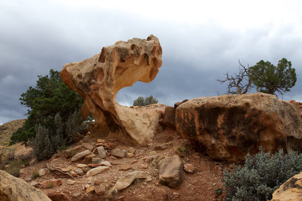
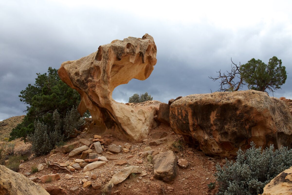
Cathedral Gorge
Golden Throne
Cathedral Gorge
Trailhead
Cathedral Gorge
Cathedral Gorge
Cathedral Gorge
Cathedral Gorge
Cathedral Gorge
Cathedral Gorge
Cathedral Gorge
Cathedral Gorge
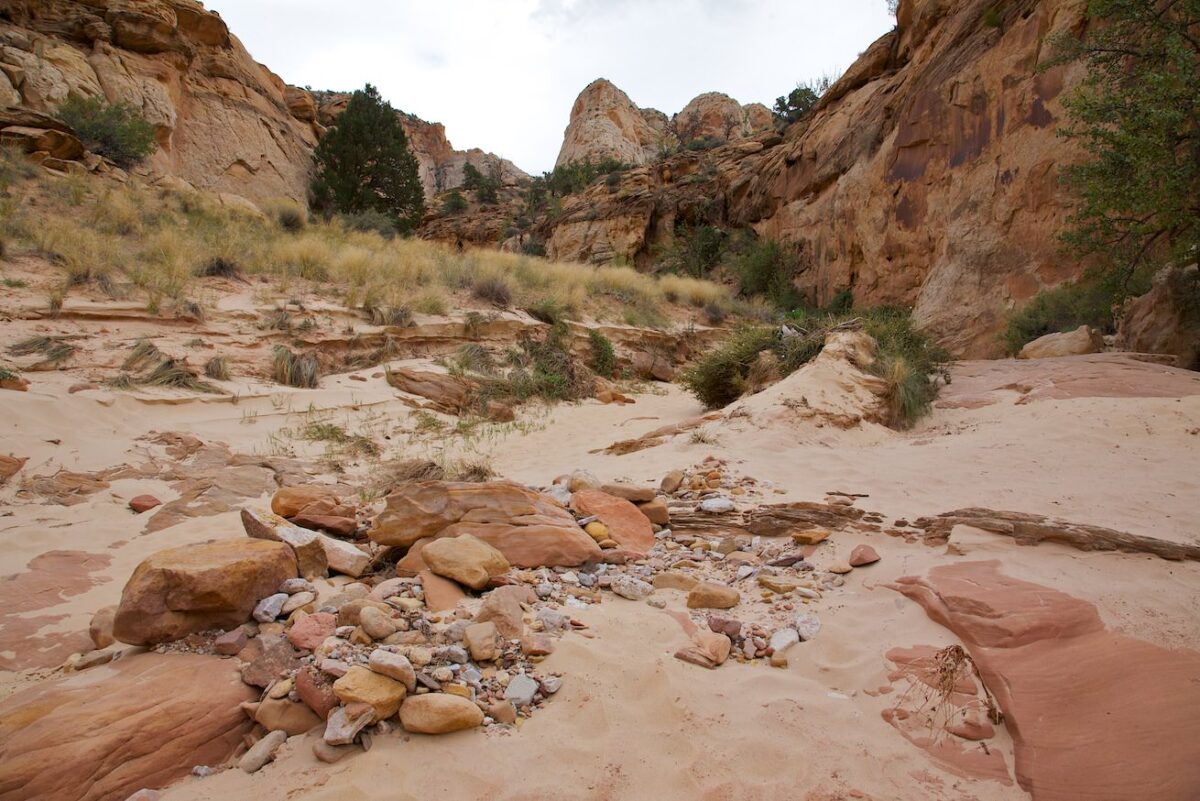
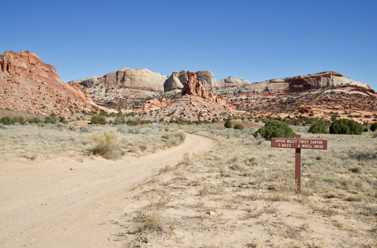
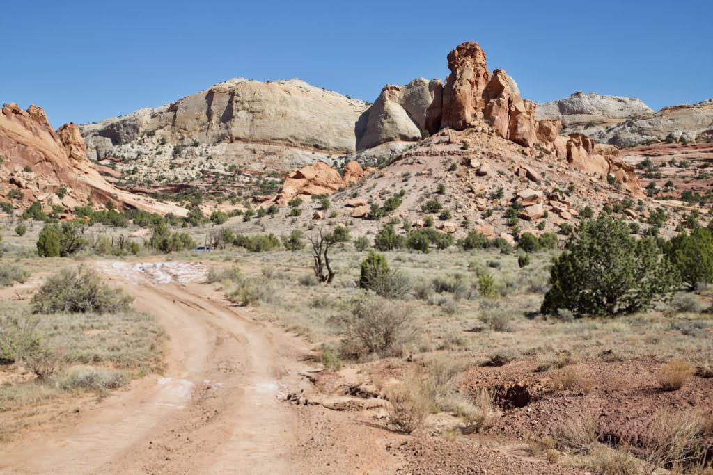
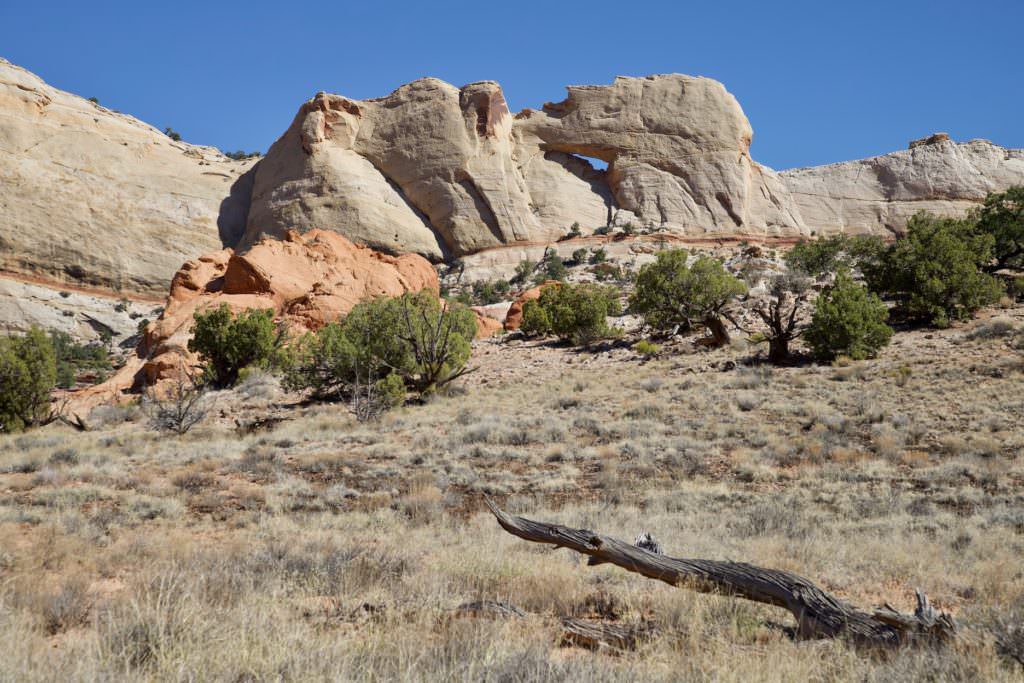
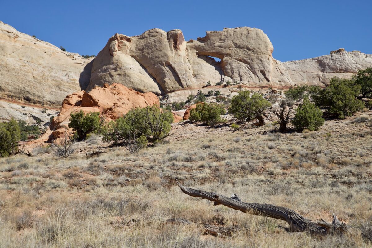
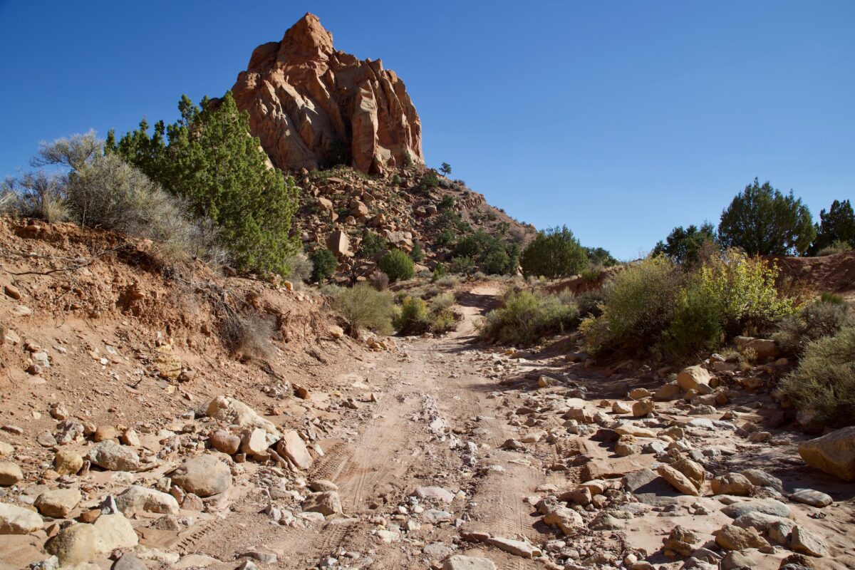
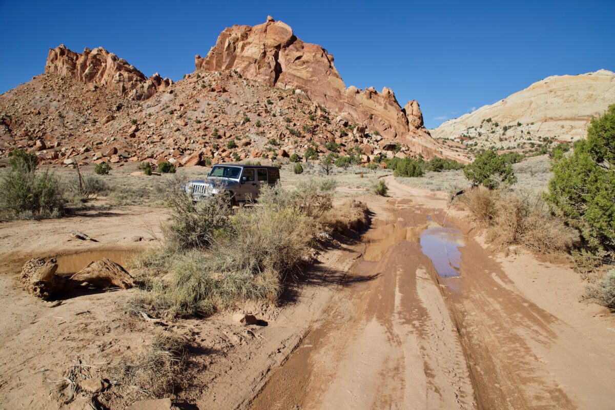
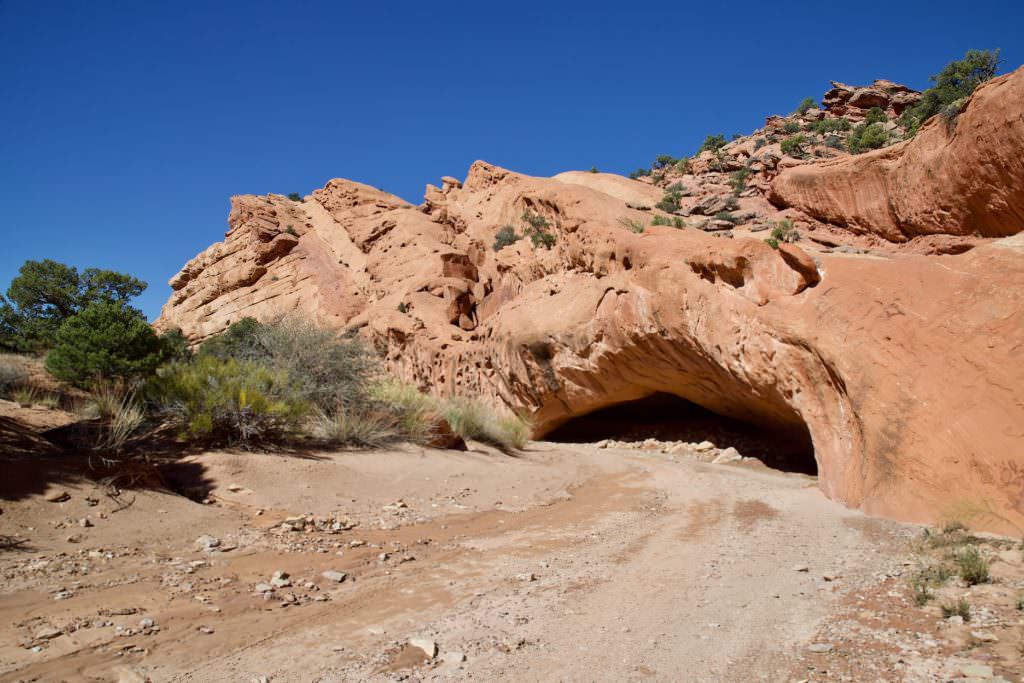
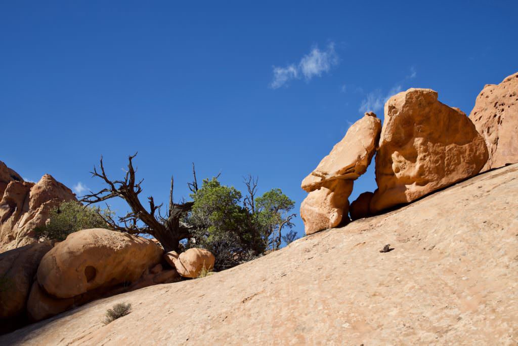
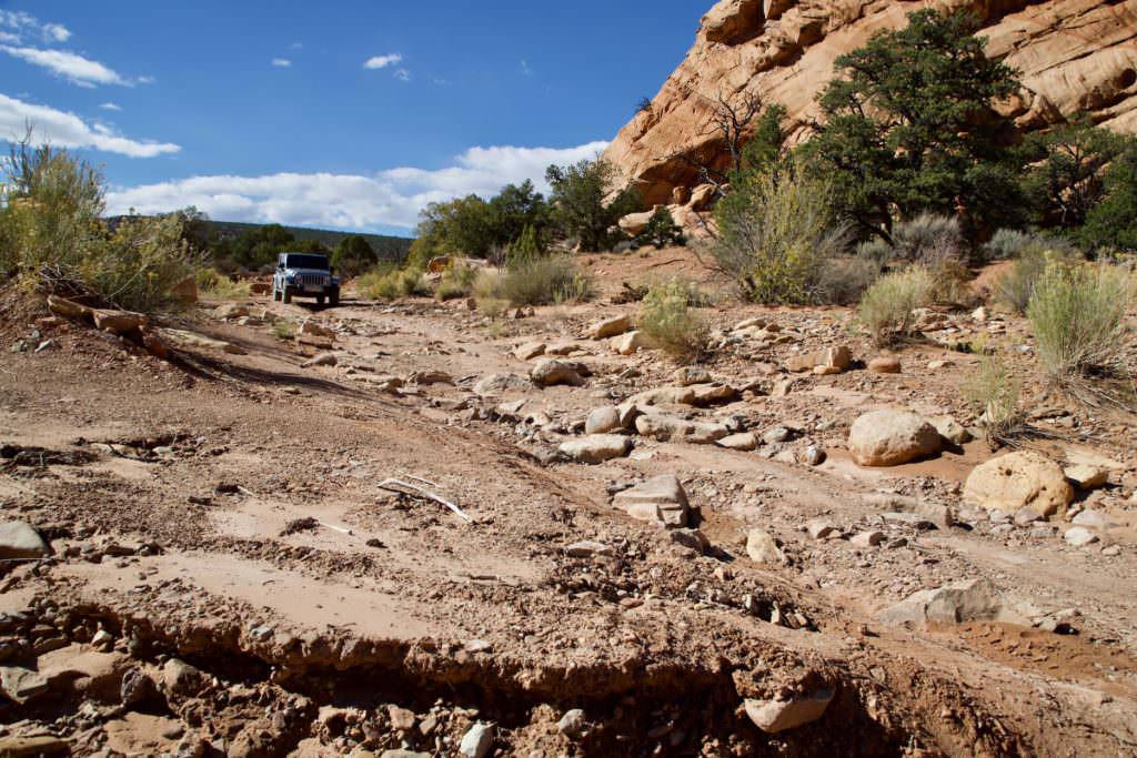
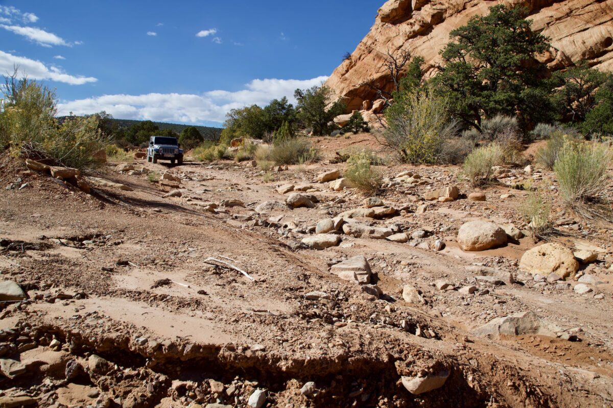
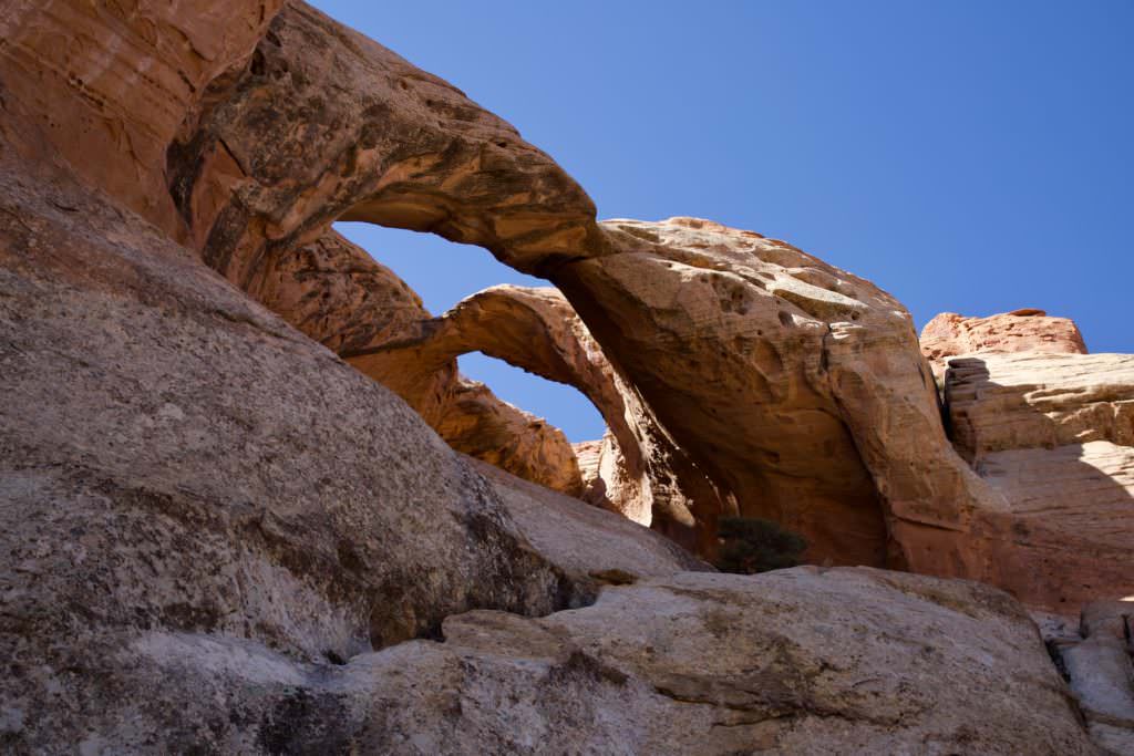
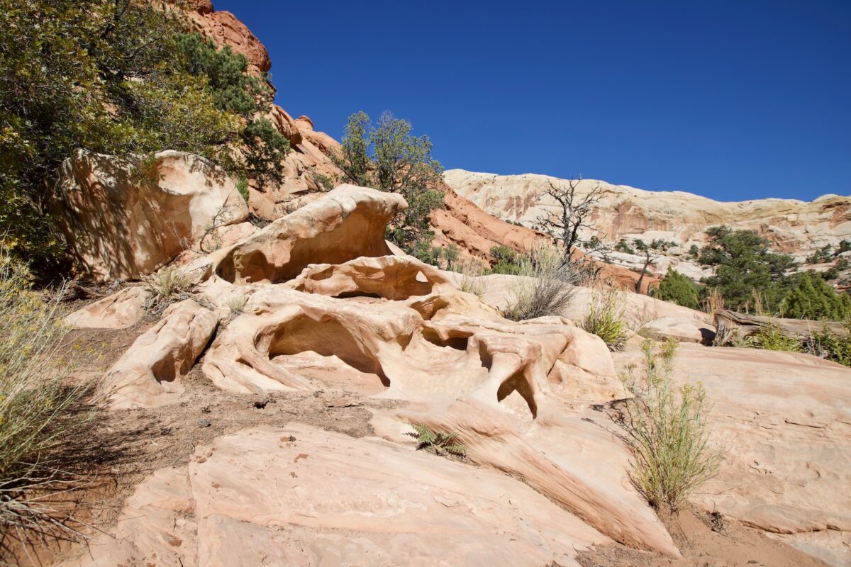
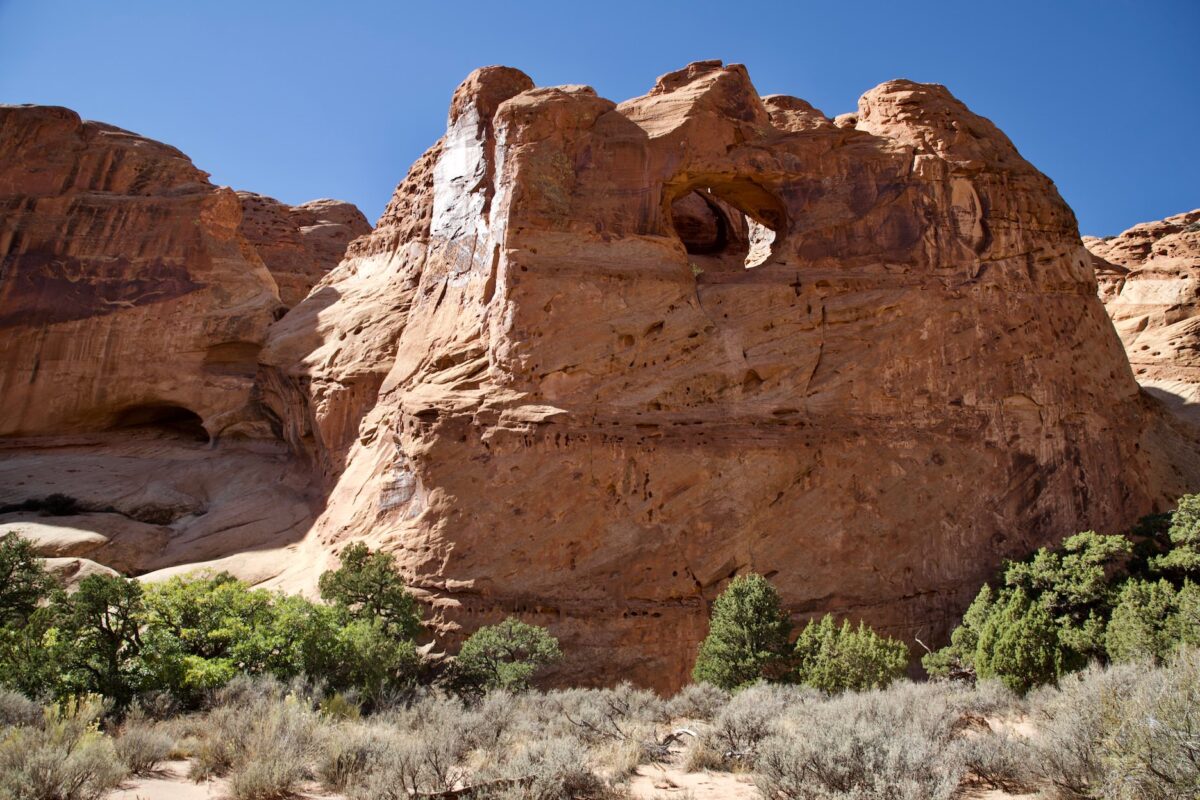
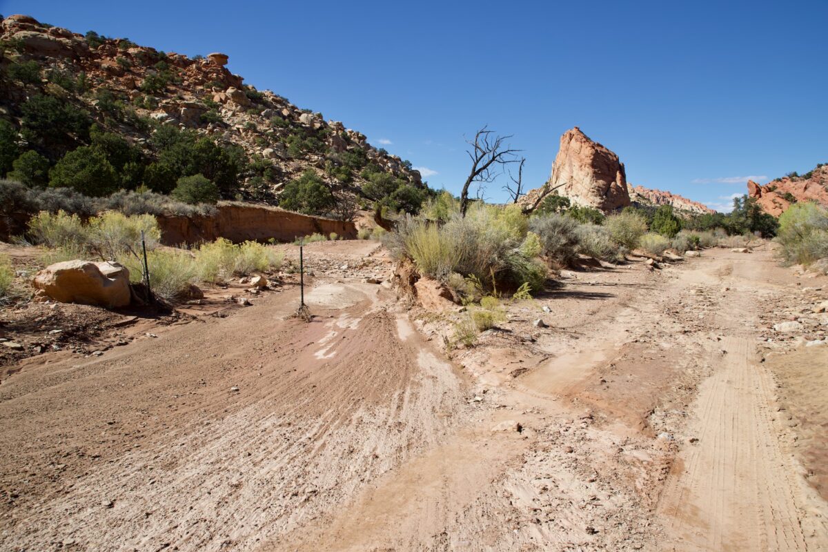
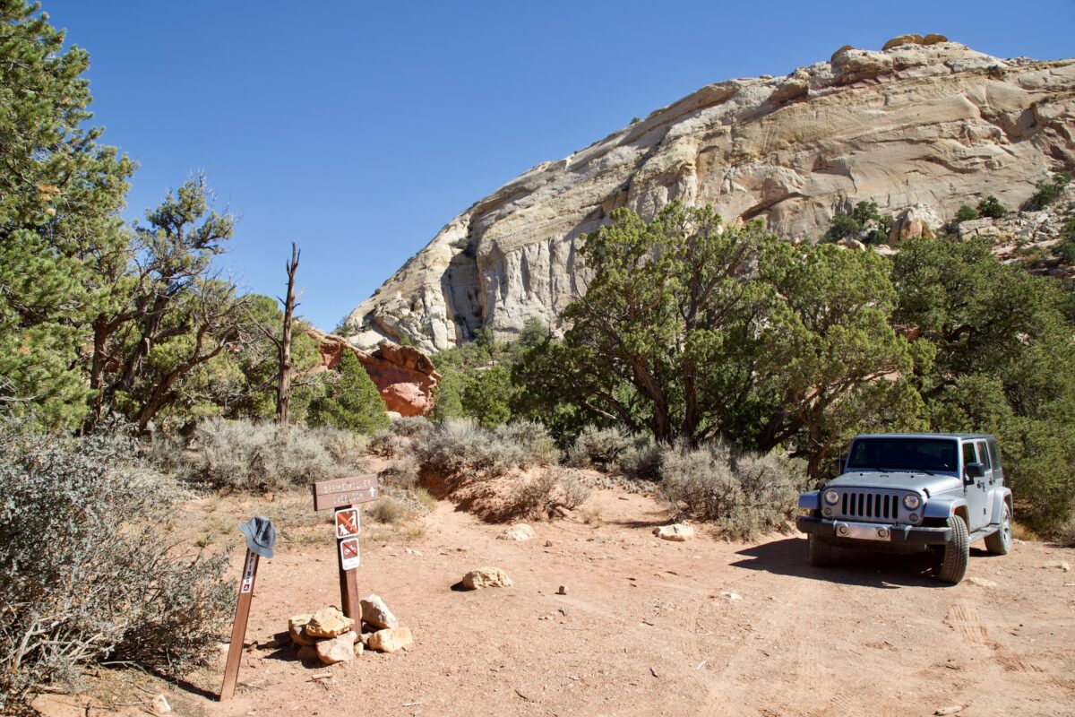
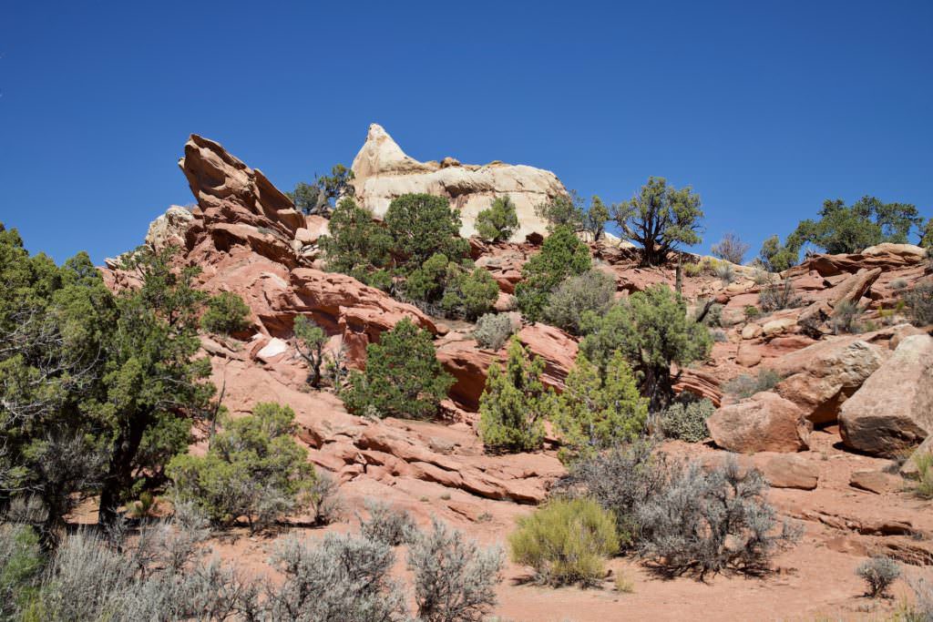
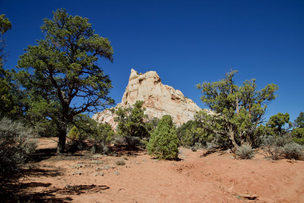
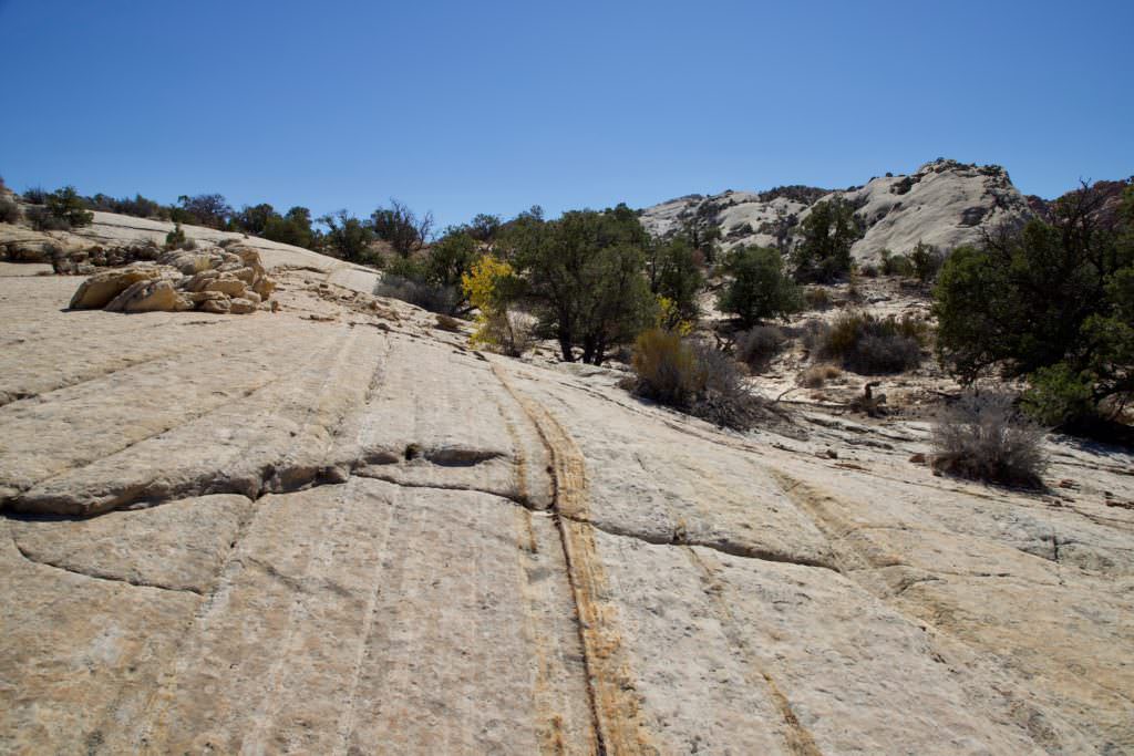
Upper Muley Twist Canyon
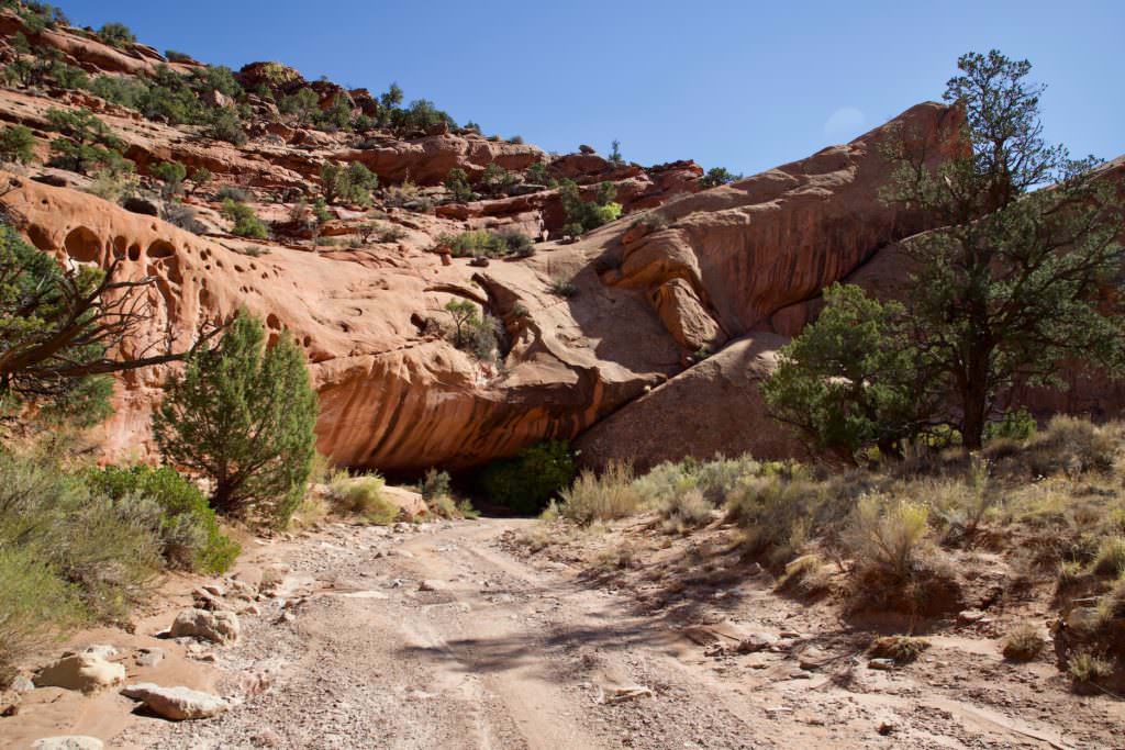
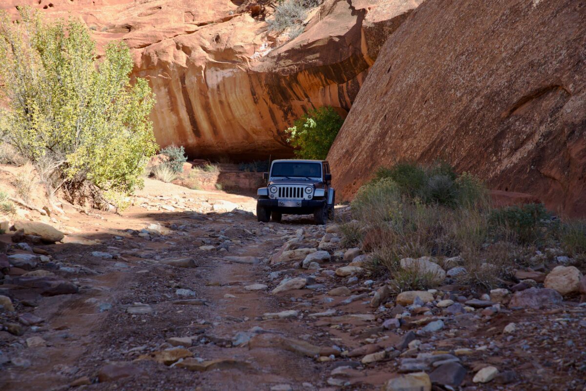
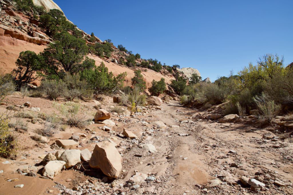
Description: Upper Muley Twist Canyon meanders in many twists and turns along the western edge of the Waterpocket Fold. It features arches and bizarrely shaped rocks in a very pretty canyon. The road into the canyon is 2.9mi long and should only be driven in a car that has decent ground clearance. During our visit in October 2018, four-wheel drive was not necessary. It was easy to drive around the large water hole right at the beginning of the canyon. The rest of the road was in parts very rocky. The trailhead to Strike Valley Overlook is at the end of the road. If you want to get there and don't want to drive, you can of course walk the whole way.
After the trailhead, Upper Muley Twist Canyon can also be hiked further on foot. Among other things, there are still some beautiful arches to admire there. Further information can be found here.
Our rating:Because we had a Jeep Wrangler available during our visit, we dared the drive into the canyon. In the end, it was not as bad as we feared and not really a problem for our car. It was a great adventure and super fun. Whether that would have been the case with another car, however, we doubt.
☆☆☆☆☆Bewertet mit 4 von 5
Upper Muley Twist Canyon
Junction from Burr Trail into Upper Muley Twist Canyon
Upper Muley Twist Canyon
Beginning of the canyon
Upper Muley Twist Canyon
Peek-a-boo Rock
Upper Muley Twist Canyon
High ground clearance is an advantage here
Upper Muley Twist Canyon
Upper Muley Twist Canyon
Upper Muley Twist Canyon
Upper Muley Twist Canyon
Upper Muley Twist Canyon
Saddle Arch
Upper Muley Twist Canyon
Upper Muley Twist Canyon
Upper Muley Twist Canyon
Upper Muley Twist Canyon
Upper Muley Twist Canyon
Upper Muley Twist Canyon
End of the road after 4,7km, from here on you can only continue on foot
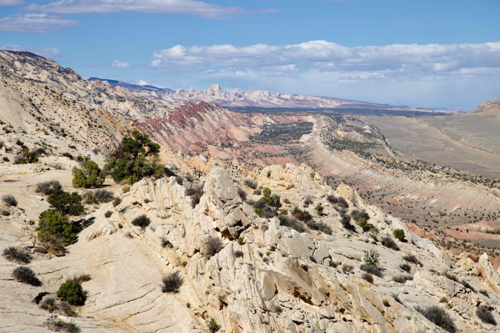
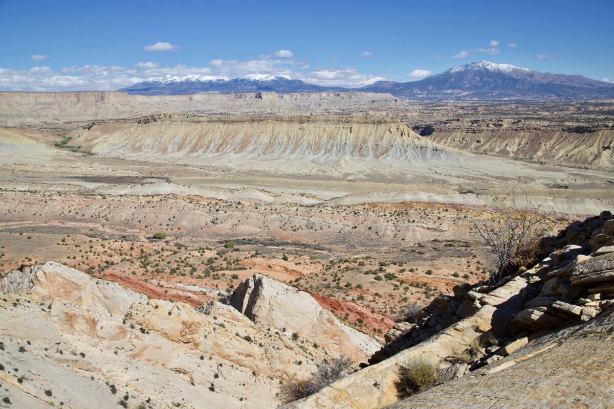
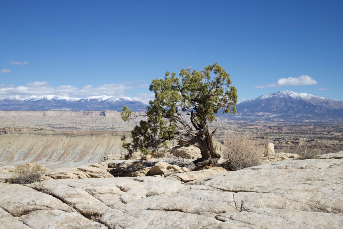
Strike Valley Overlook
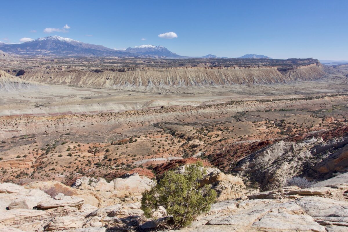
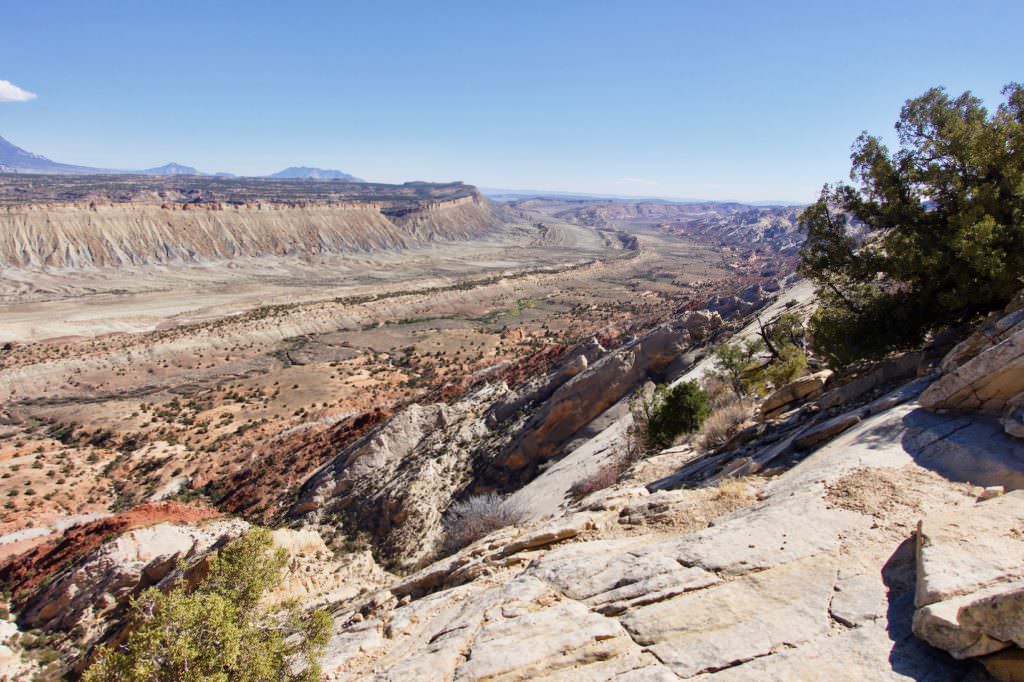
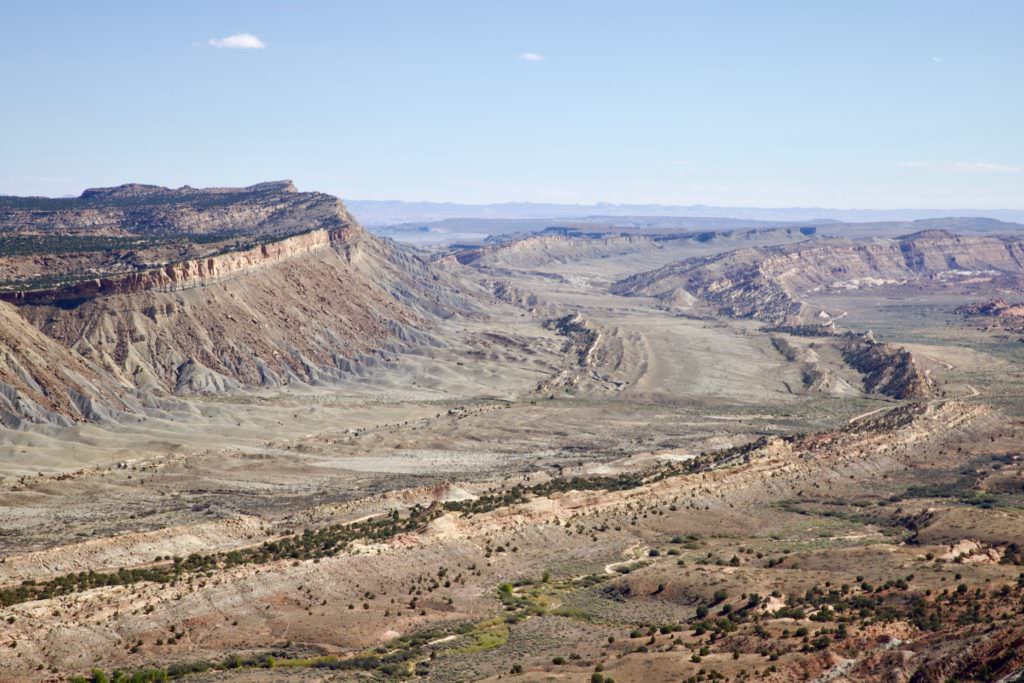
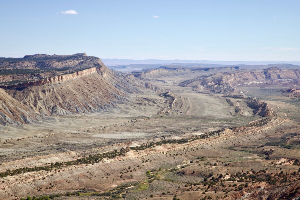
Description: The Strike Valley Overlook is a viewpoint overlooking the Waterpocket Fold. An earth fault formed by the uplift of the Colorado Plateau. Erosion subsequently formed the longitudinal ridges. The Waterpocket Fold lies entirely within Capitol Reef NP and the unusual landscape is thus protected. The hike is short and very easy. Basically you just climb a small hill and reach the viewpoint.
Trail length: 0.85mi roundtrip Altitude difference: 66ft Time needed: 1 hour Difficulty level: easy - Once you are at the parking lot, the way to the overlook is very easy. The problem here is the drive.
Our rating:This is by far one of the best and most spectacular viewpoints we have ever been to. The views are simply breathtaking. Unfortunately, the photos do not really reflect how gigantic the whole place was. That's why everyone should go and see it for themselves. It's worth it, even if you have to walk all the way and can't drive to the trailhead.
☆☆☆☆☆Bewertet mit 5 von 5
Strike Valley Overlook
Parking lot and trailhead to Strike Valley Overlook
Strike Valley Overlook
Strike Valley Overlook
Strike Valley Overlook
Strike Valley Overlook
Strike Valley Overlook
Strike Valley Overlook
View to the north
Strike Valley Overlook
Strike Valley Overlook
Strike Valley Overlook
Strike Valley Overlook
Strike Valley Overlook
Strike Valley Overlook
View to the southeast
Strike Valley Overlook
View to the south
Strike Valley Overlook
Other locations which are partly located in Capitol Reef NP and are described on extra pages are the Burr Trail and the Cathedral Valley.


