Our visits: So far 2 visits in October 2012 and April 2022
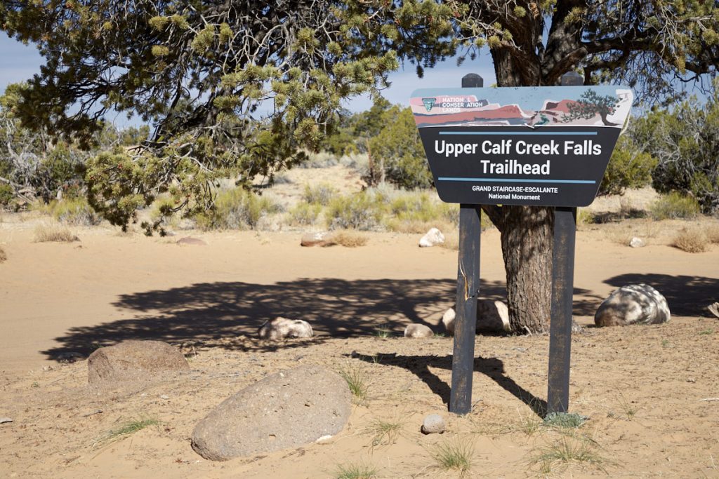
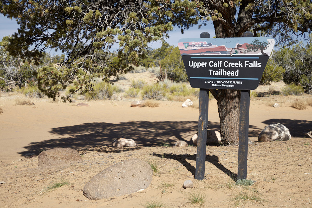
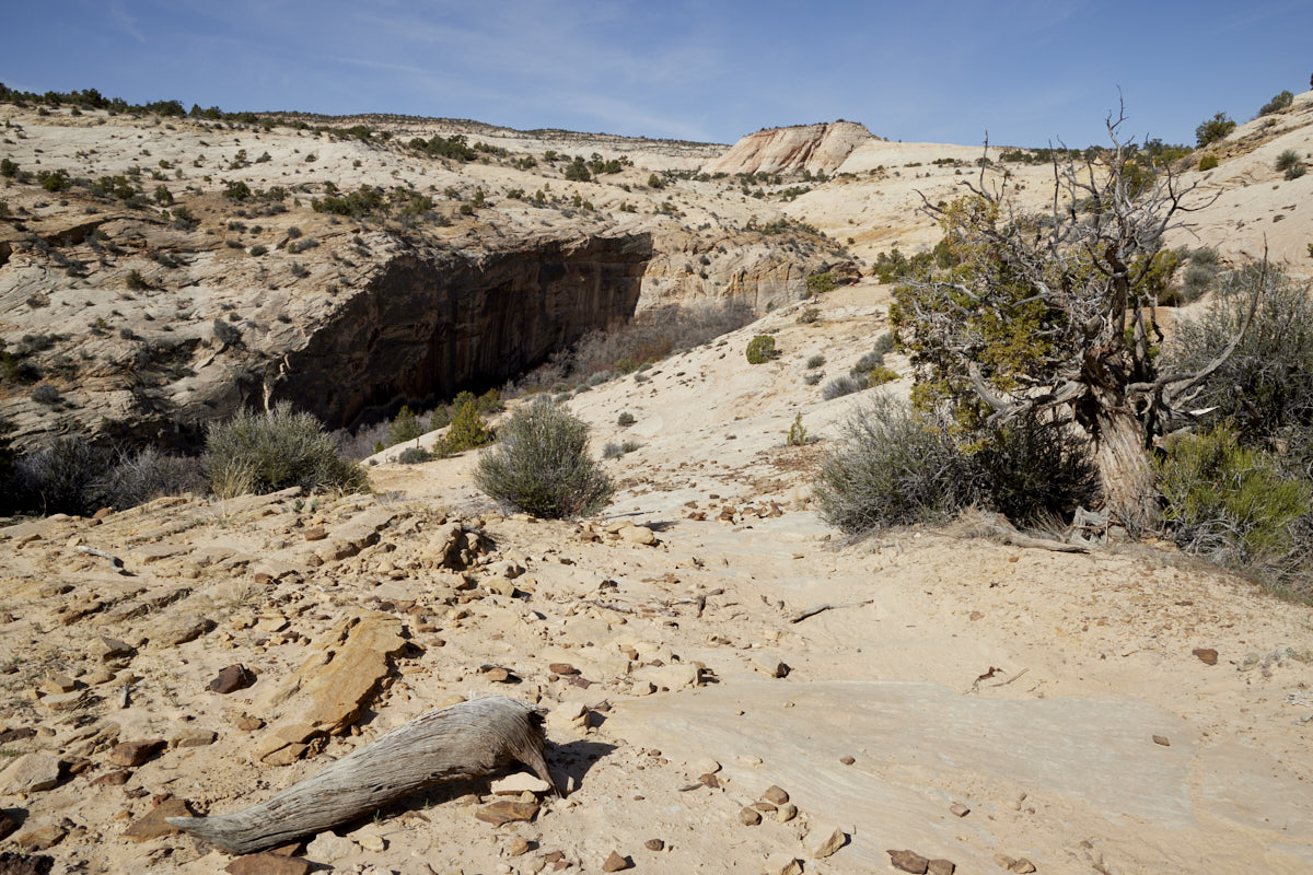
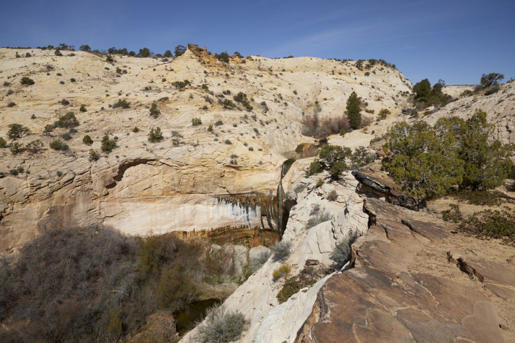
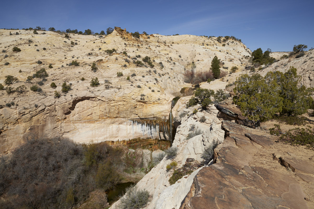
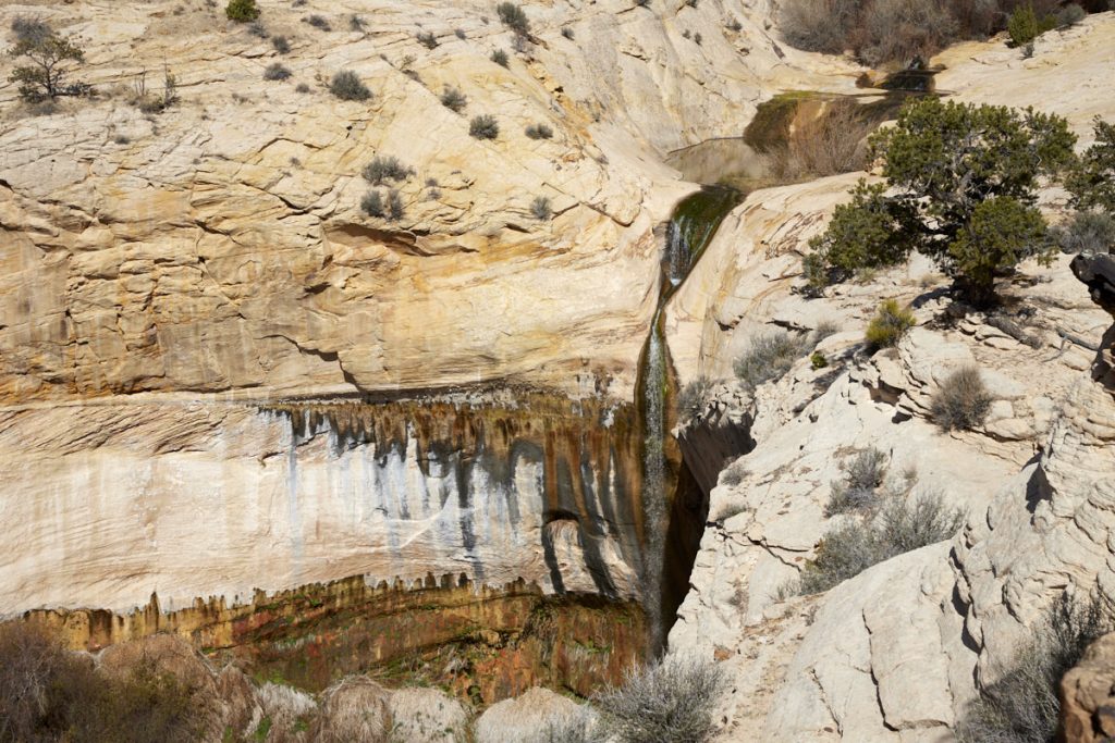
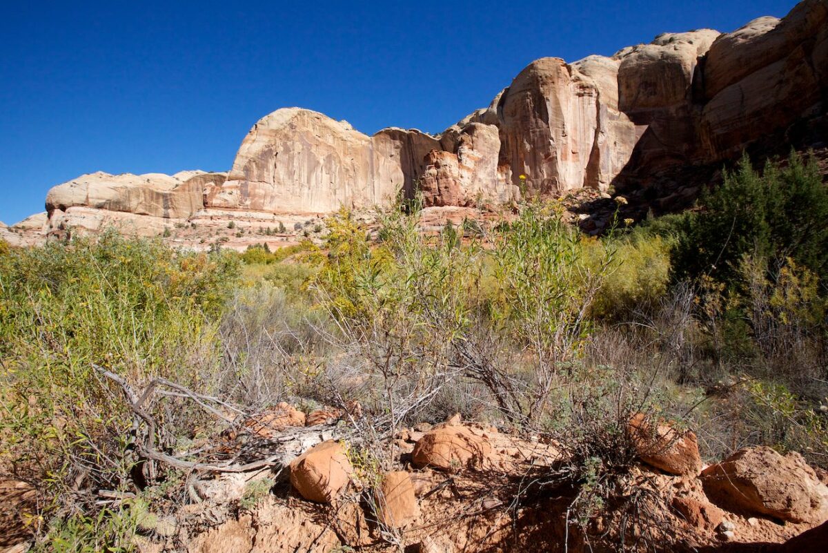
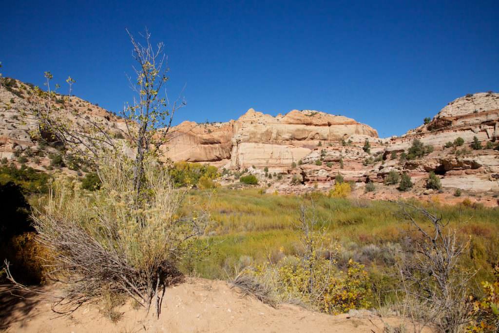
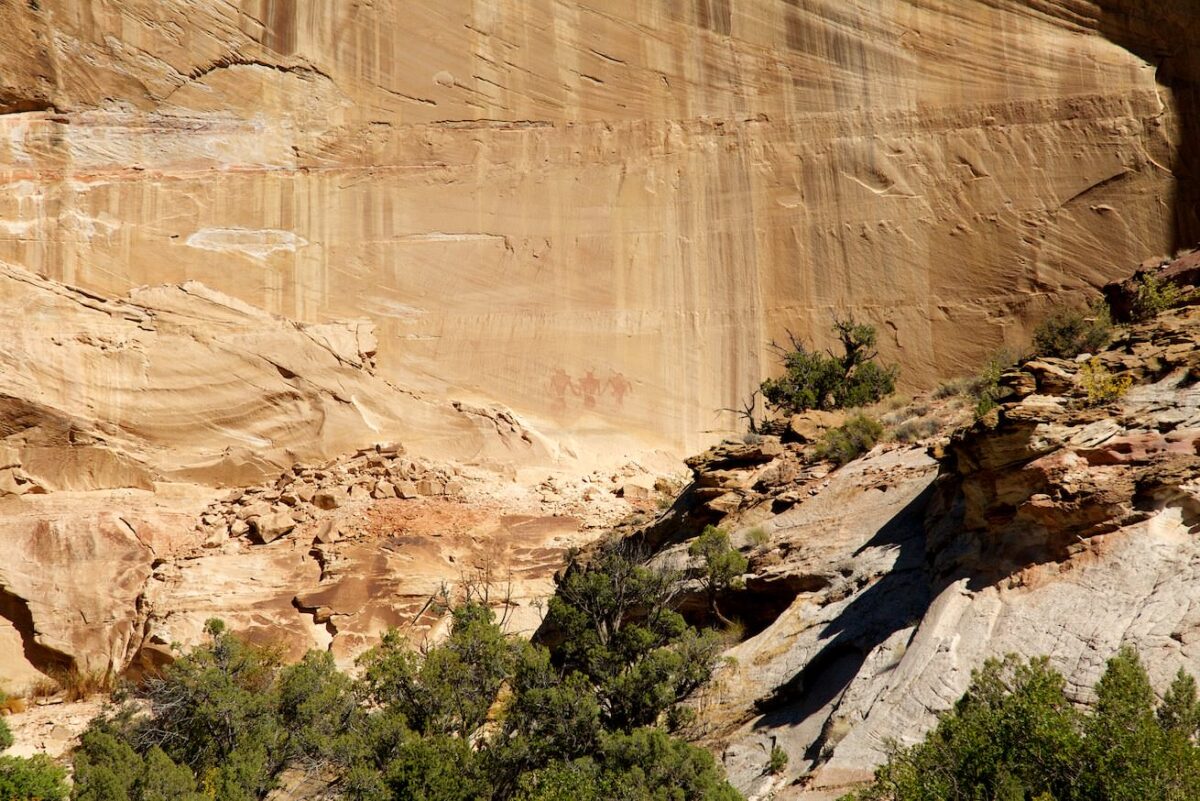
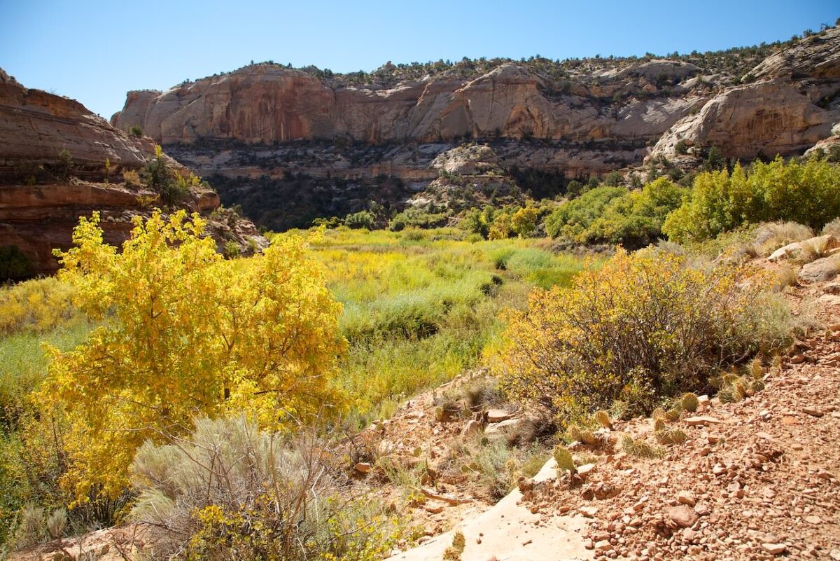
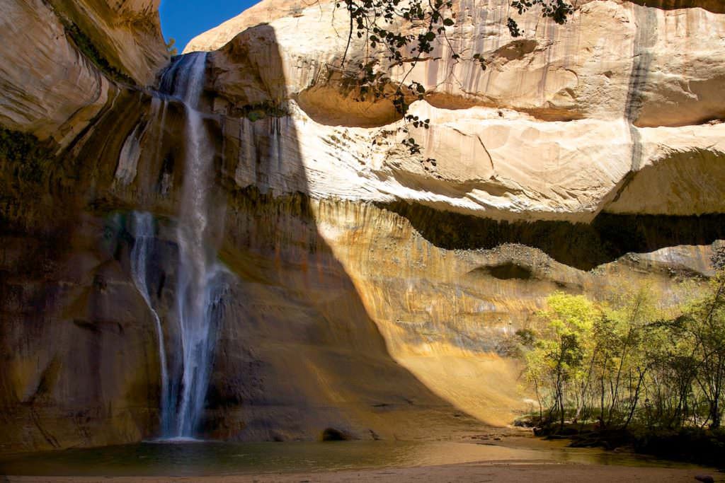
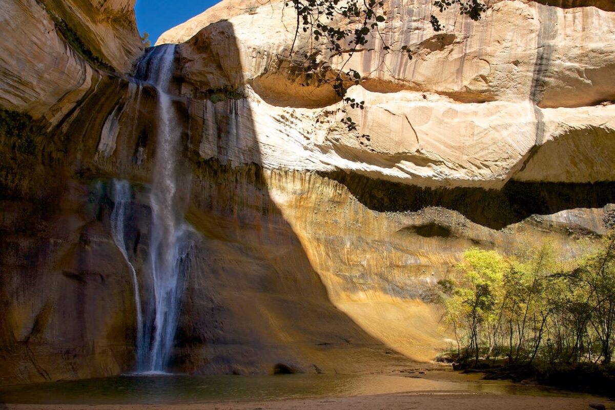
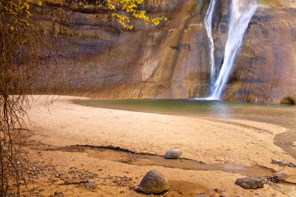
Upper Calf Creek Fall
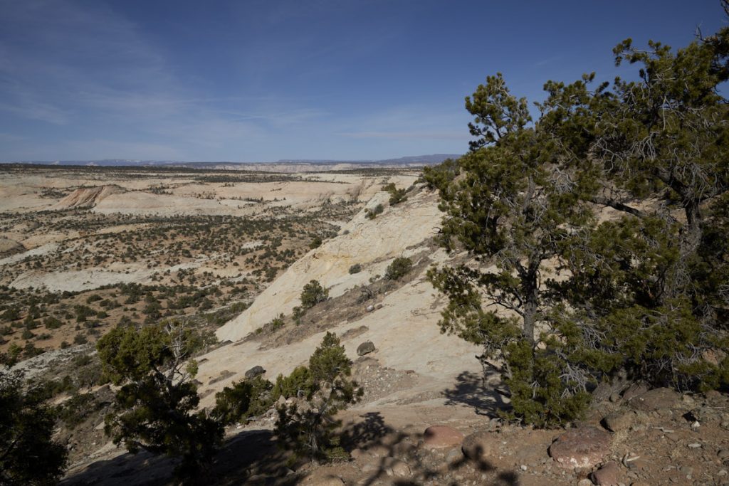
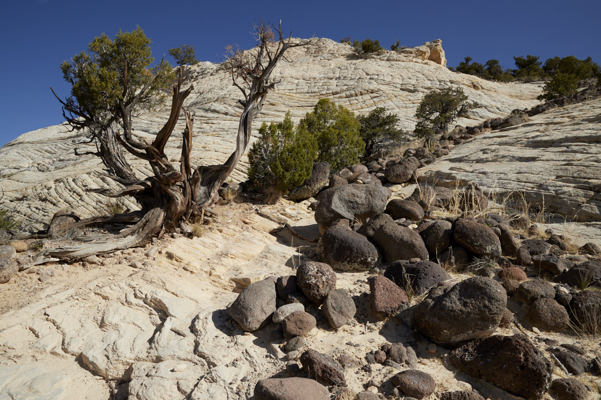
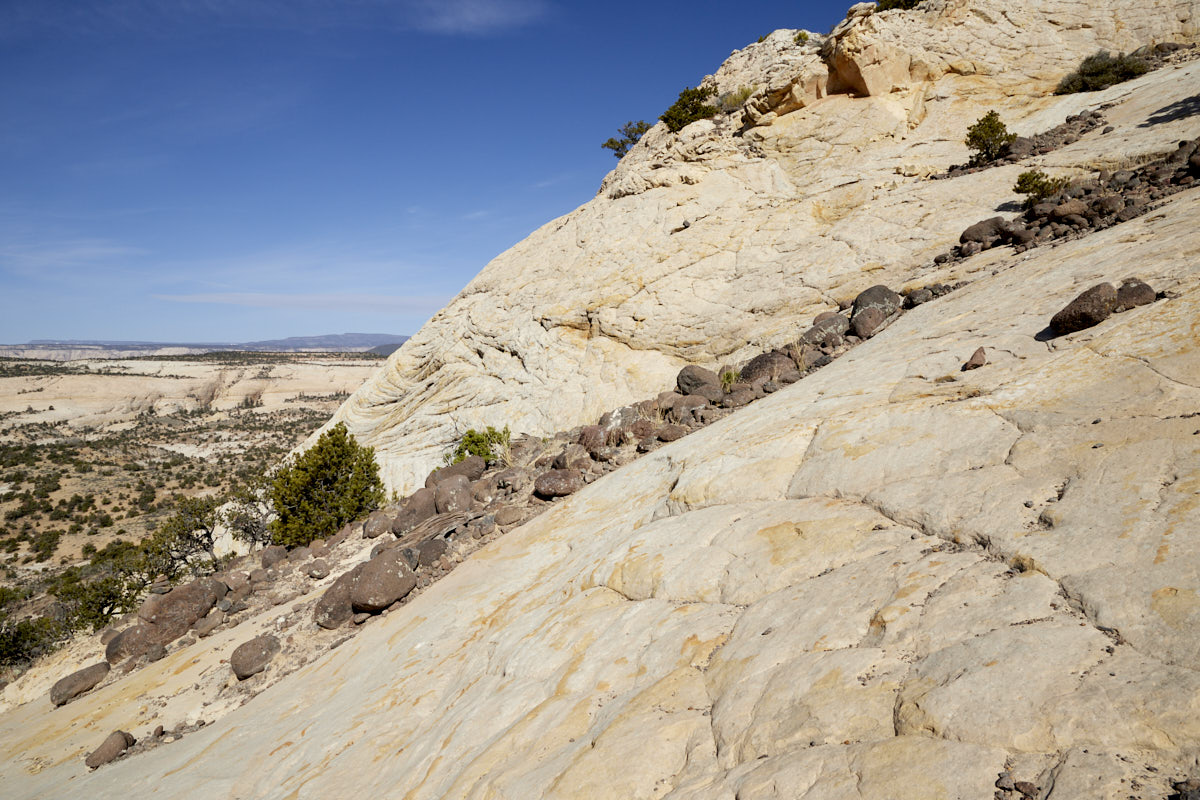
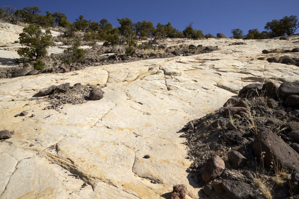
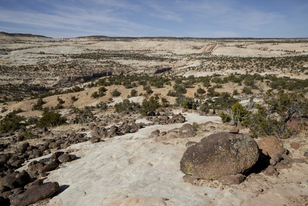
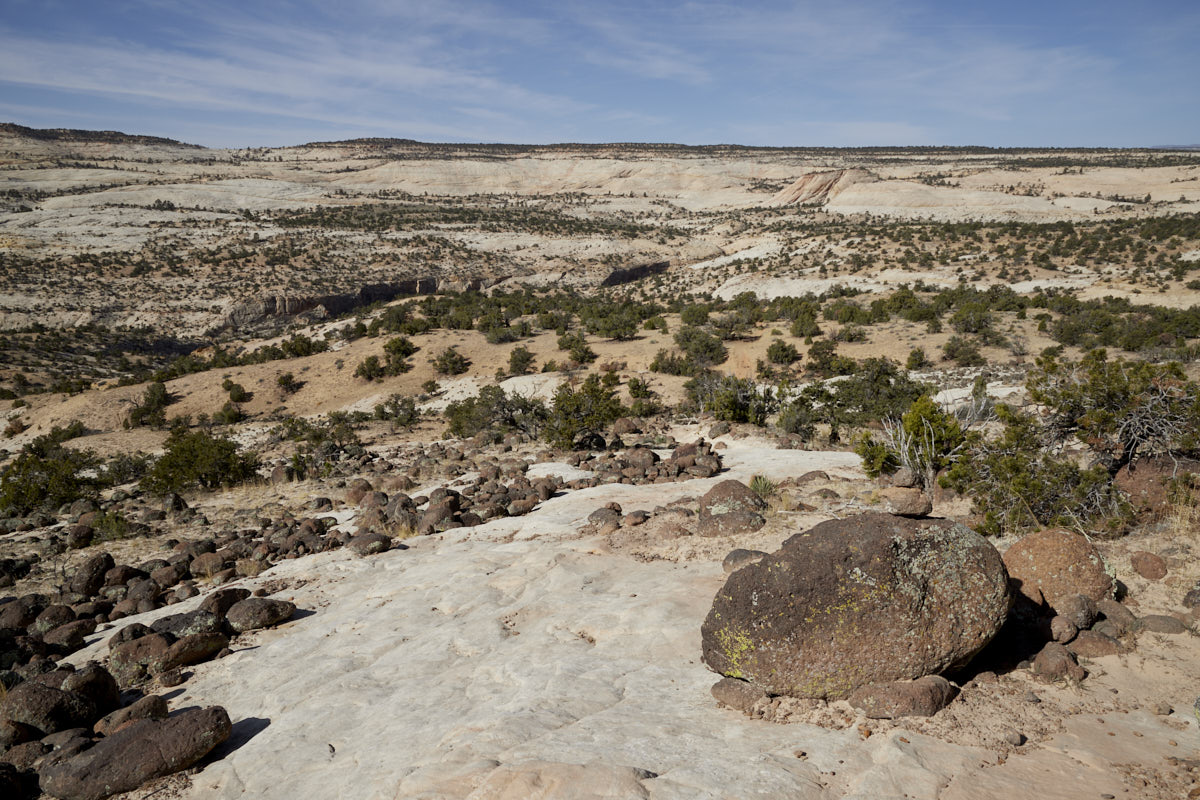
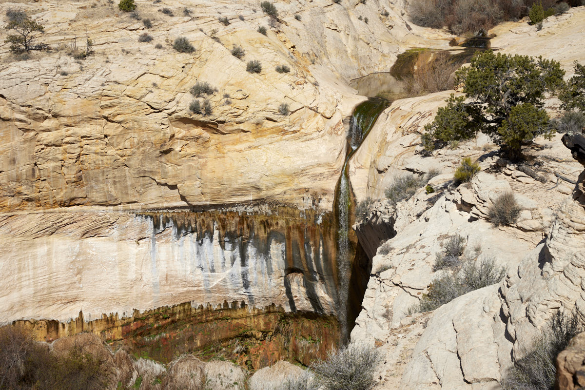
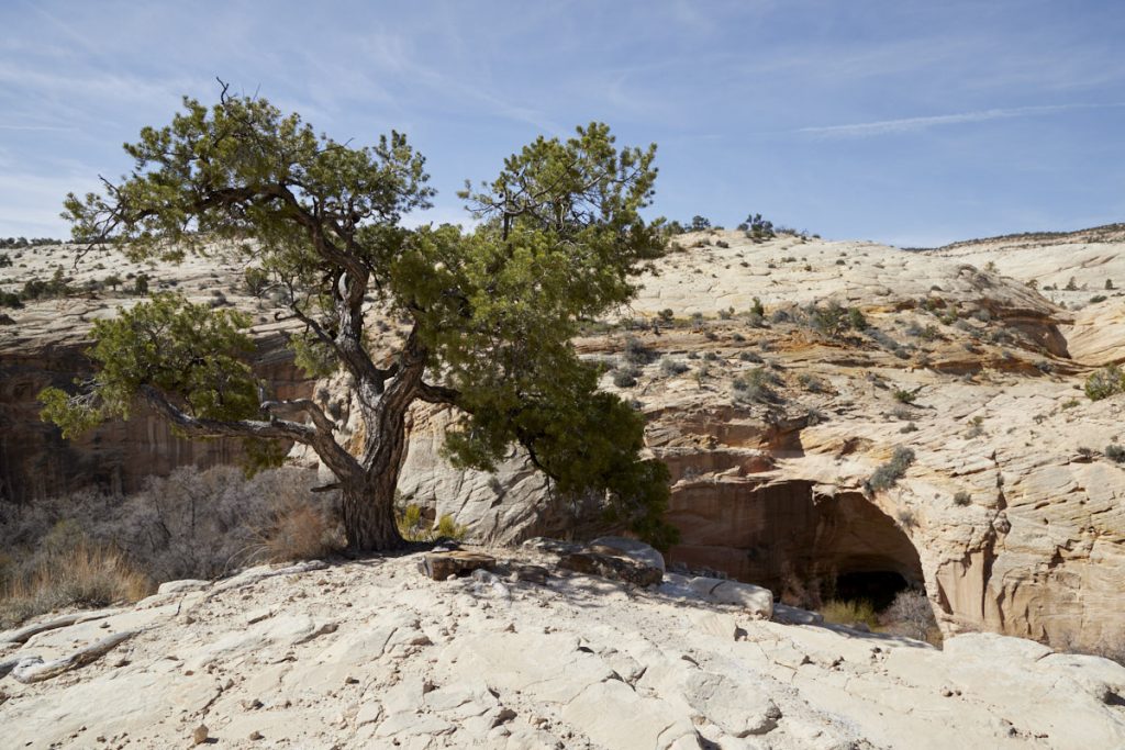
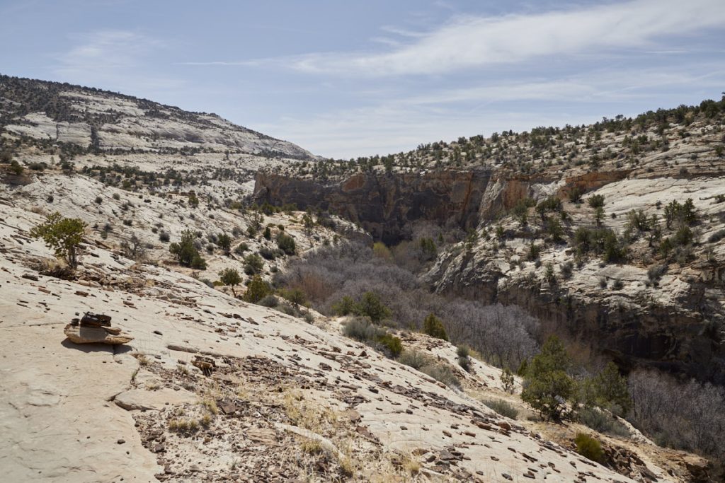
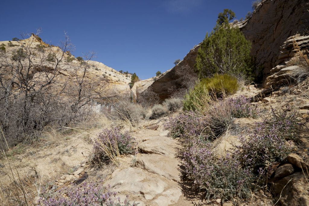
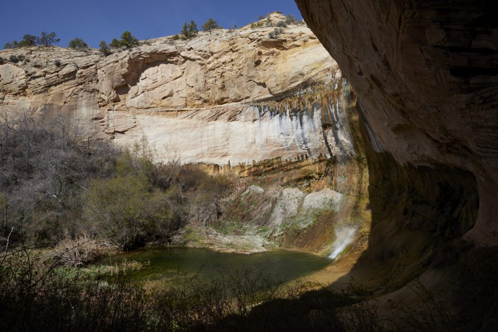
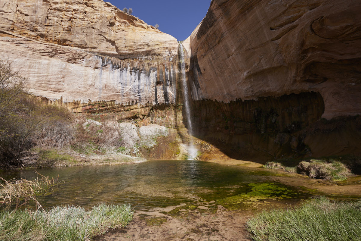
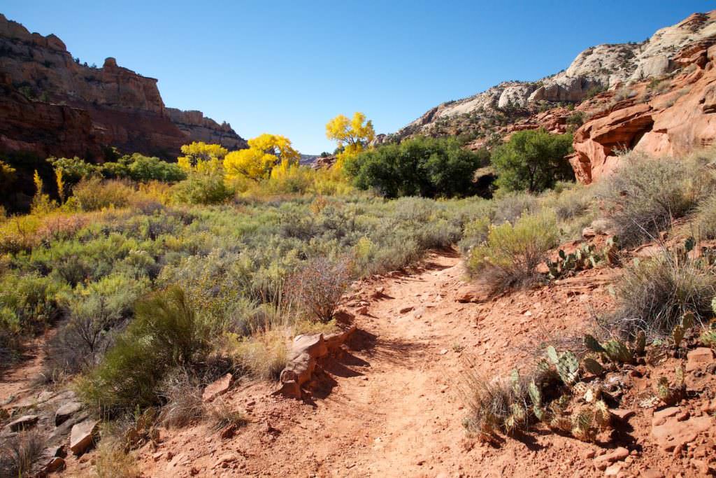
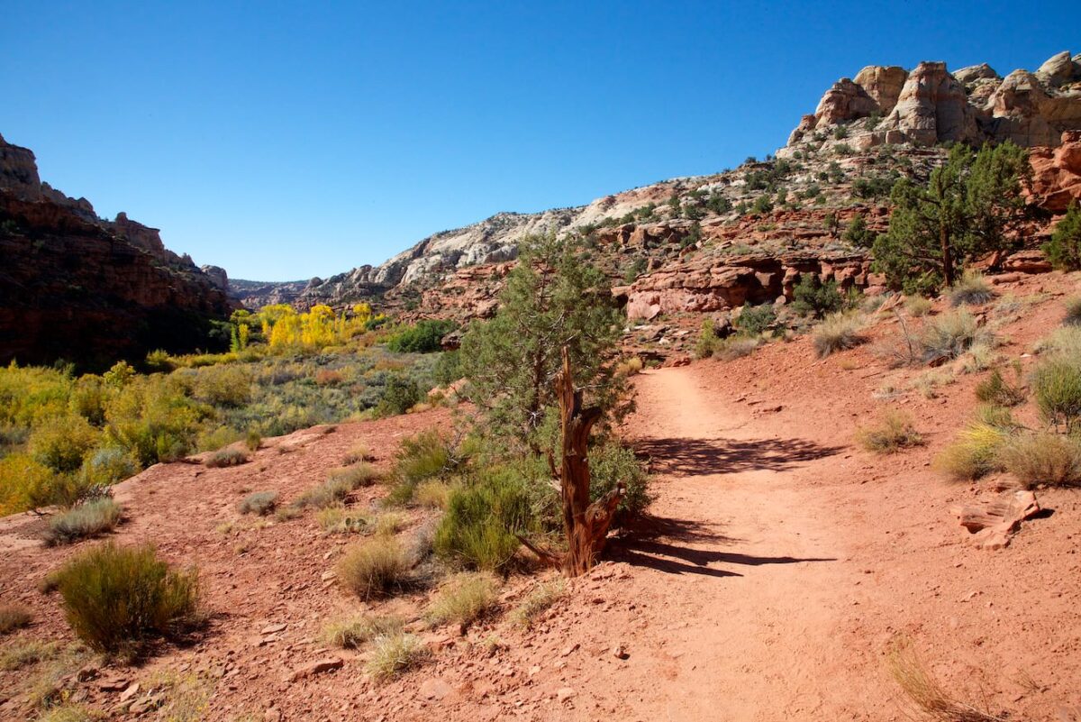
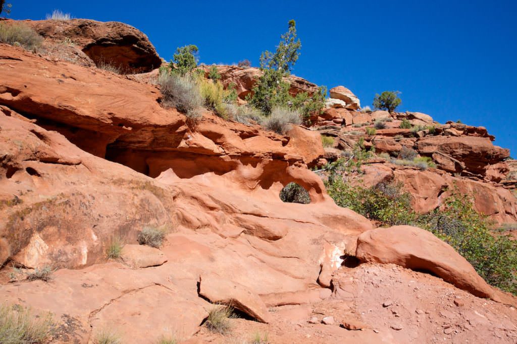
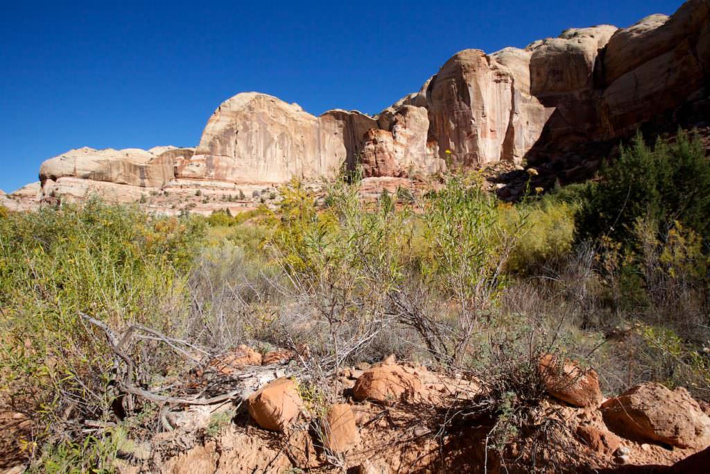
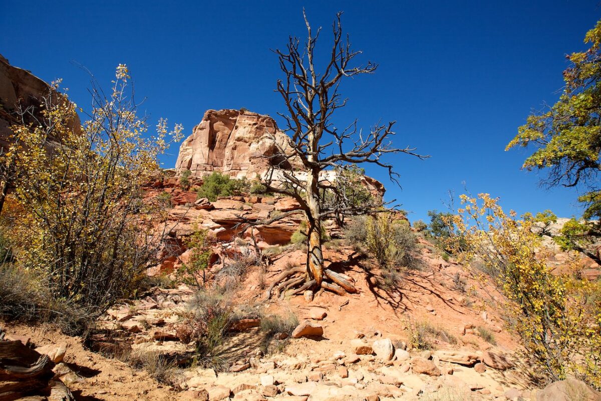
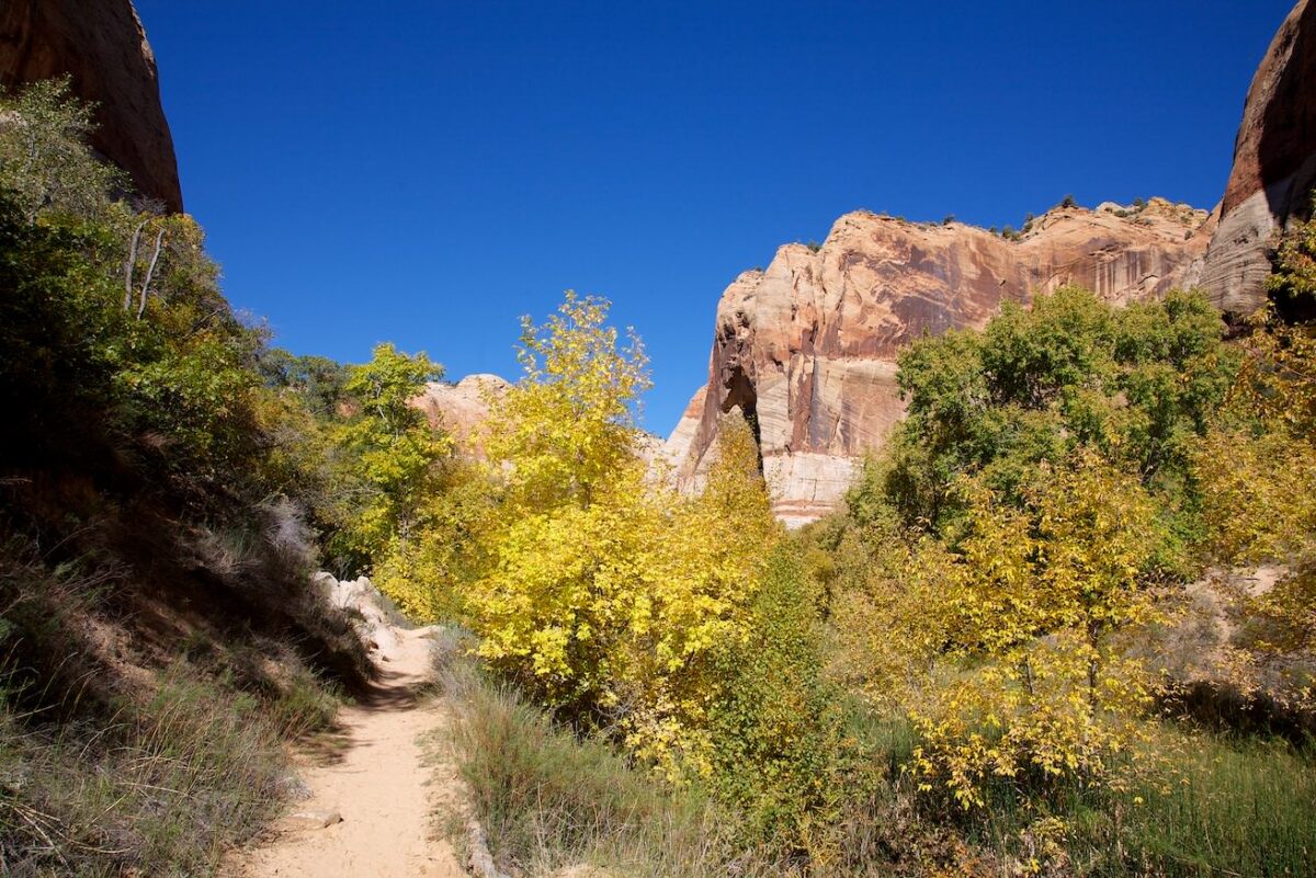
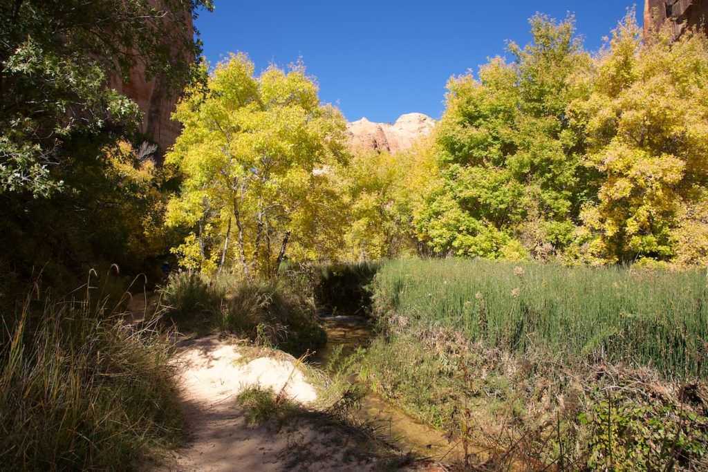
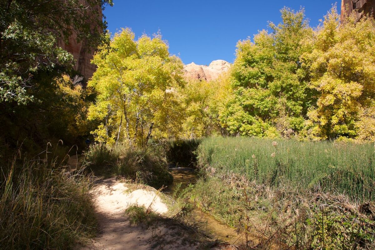
Description: The trailhead to Upper Calf Creek Fall is just off Scenic Road 12, and since it is not signed, it is easy to drive past. Coordinate parking lot:Latitude: 37.859432; Longitude: -111.437809. The trail itself is then relatively easy to find, because it basically descends steeply, almost in a straight line, over sandstone. After you have to go down quite steeply for the first few hundred meters, the trail becomes a bit more moderate after that. After about 1.3km you reach a junction. Coordinate:Latitude: 37.854447; Longitude: -111.449952. Hält man sich hier rechts, gelangt man nach weiteren etwa 200m zum oberen Teil des Wasserfalls. Wieder zurück an der Weggabelung führt der Weg zur Basis des Wasserfalls noch etwa weiter 300m steiler bergab. Hier muss man eine noch etwas höhere Stufe überwinden, bevor man schlussendlich unterhalb des Calf Creek Fall steht.
Our rating: Even though we liked this hike to the upper of the two Calf Creek waterfalls, we found it less spectacular than the hike to the lower one. However, since the scenery here is really great, we can definitely recommend this hike as well.
☆☆☆☆☆Rated 3.5 out of 5
Upper Calf Creek Fall
Upper Calf Creek Fall
Upper Calf Creek Fall
Upper Calf Creek Fall
Upper Calf Creek Fall
Upper Calf Creek Fall
Upper Calf Creek Fall
Upper Calf Creek Fall
Upper Calf Creek Fall
Upper Calf Creek Fall
Upper Calf Creek Fall
Upper Calf Creek Fall
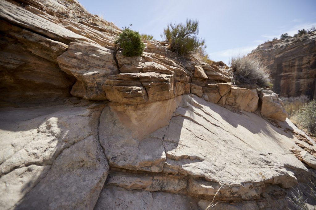
Steinstufe
Upper Calf Creek Fall
Upper Calf Creek Fall
Upper Calf Creek Fall
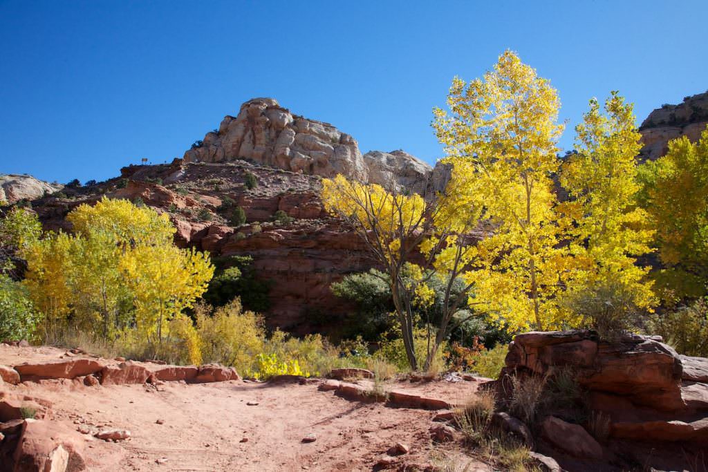
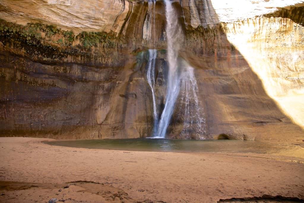
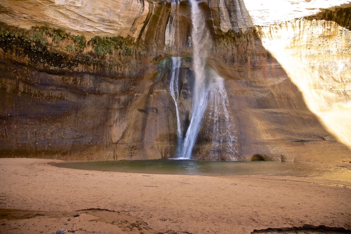
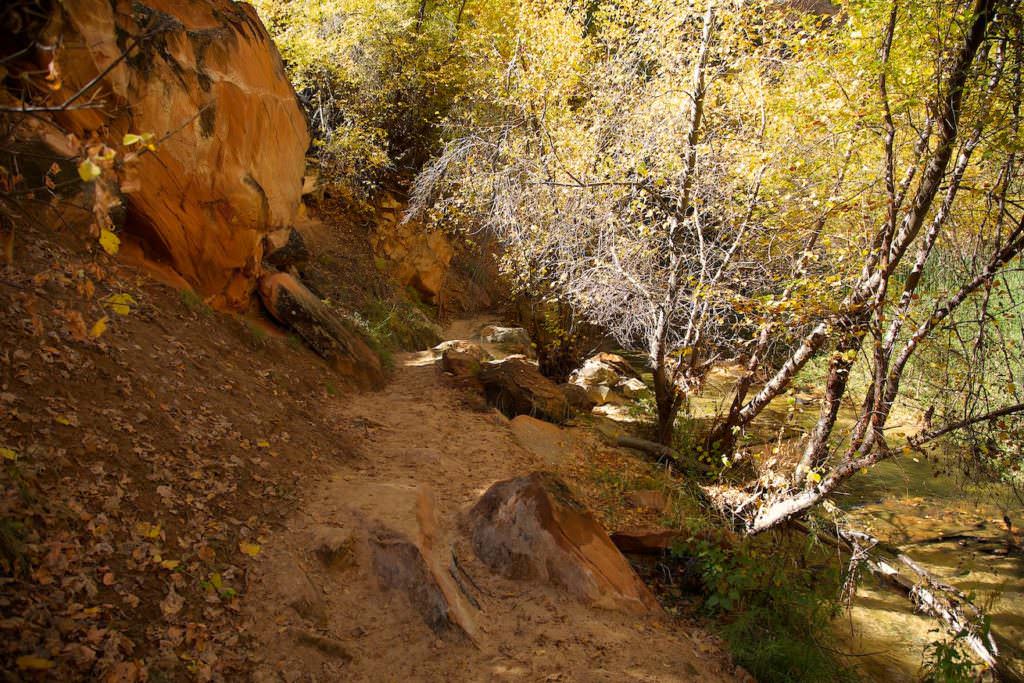
Lower Calf Creek Fall
Description: The hike to Lower Calf Creek Fall is very popular. This is why the parking lot at the trailhead fills up quickly, especially in high season. For another reason, it is also a good idea not to start the hike too late in the day. In autumn especially, the waterfall is in the shade by noon at the latest. We also had to experience this fact. There is an entrance fee of $5/car for the area. You pay this at a self-pay station at the parking lot. The hike itself isn't difficult; you walk along a well-marked and beaten path beside Calf Creek. It climbs uphill at times and goes downhill at others. None of it is a big deal.
Trail length: 6.8mi roundtrip Altitude difference: 1089ft Time needed: 4-5 hours Difficulty level:easy - The trail is very well developed and easy to hike. Only the total length may be a little strenuous.
Our rating: We liked the hike very much. Actually, there is everything here what you expect from a nice hike in the southwest. The entire trail leads through a great, interesting landscape with a very nice waterfall at the end. We can recommend the hike without reservation.


