Description of how to get there: The drive is basically very easy. The road is completely unpaved, but the dirt roads here are usually in very good condition. This is of course not generally valid, because everything always depends on the weather, but normally you should get here with a normal car. The drive is 20mi long and there are some junctions where you can get lost, so we recommend in any case to drive with a GPS device and according to a track.
Coming from the north, turn left onto Green River Cutoff Rd just before Castle Dale. Coordinate: Latitude 39.220802, Longitude -110.997488. After about 13mi, turn right onto Fuller Bottom Rd. Coordinate: Latitude 39.175606, Longitude -110.791077. After about 0.5mi, this road turns right, but you continue straight ahead. The road is now called Wedge Rd and has the number 405. Coordinate: Latitude 39.168226, Longitude -110.789054. Stay on Wedge Rd now until you get to the Rim and can look into the San Rafael River Gorge. Coordinate: Latitude 39.093058, Longitude -110.758830. From here you can drive right and left along the Rim and enjoy the views.
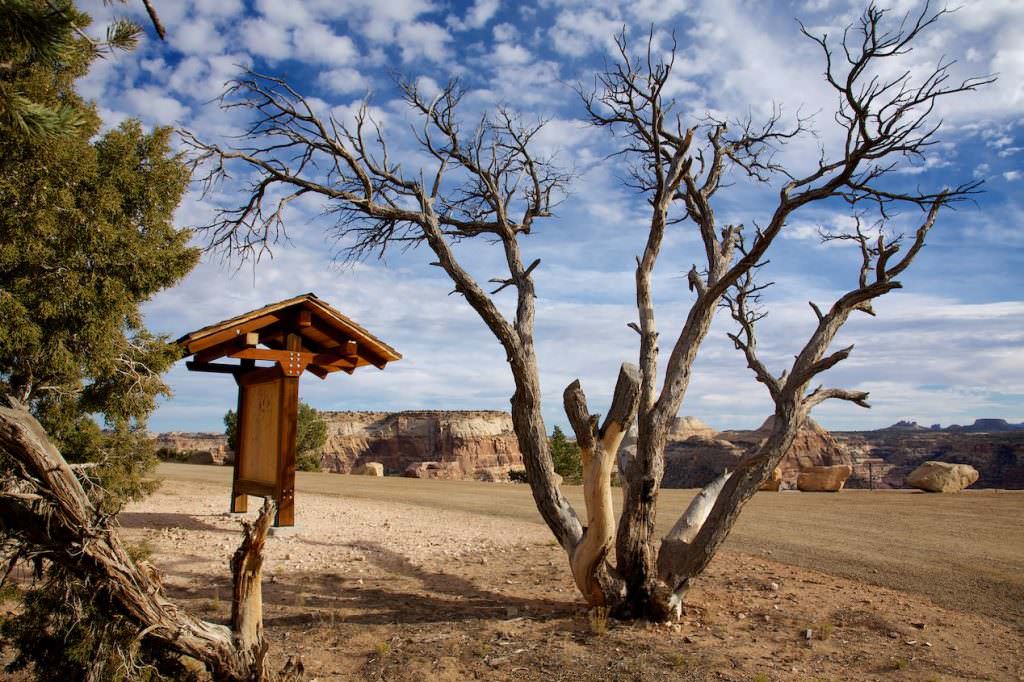
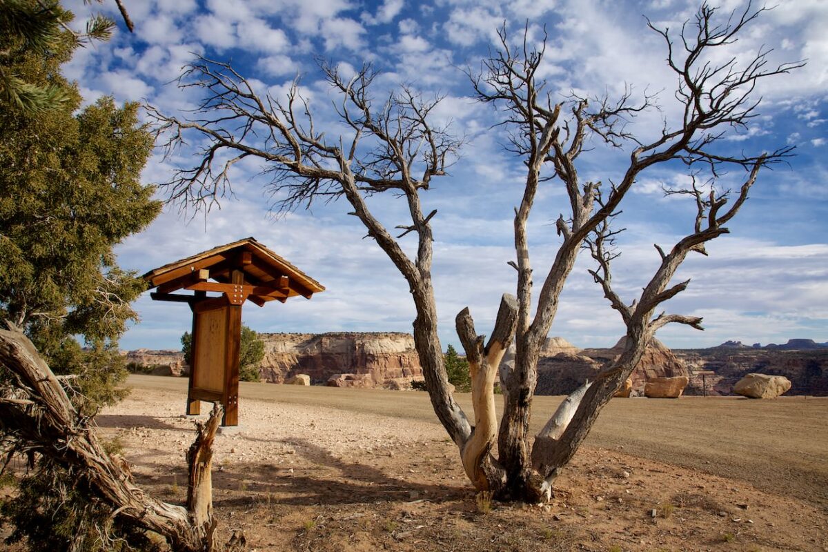
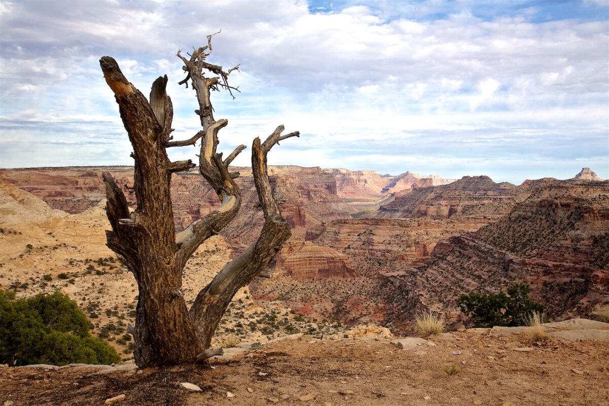
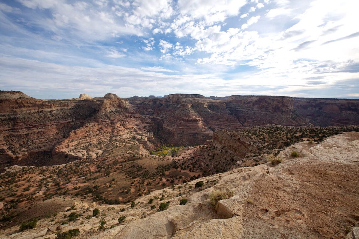
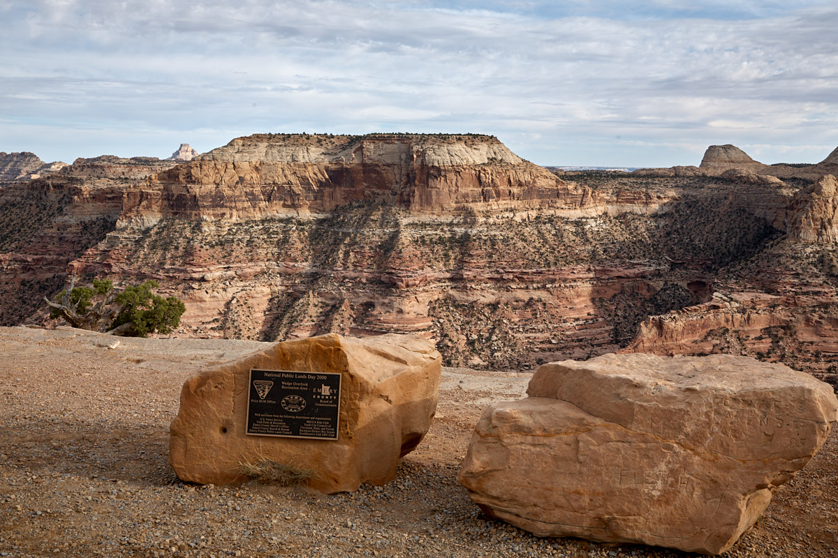
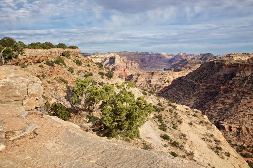
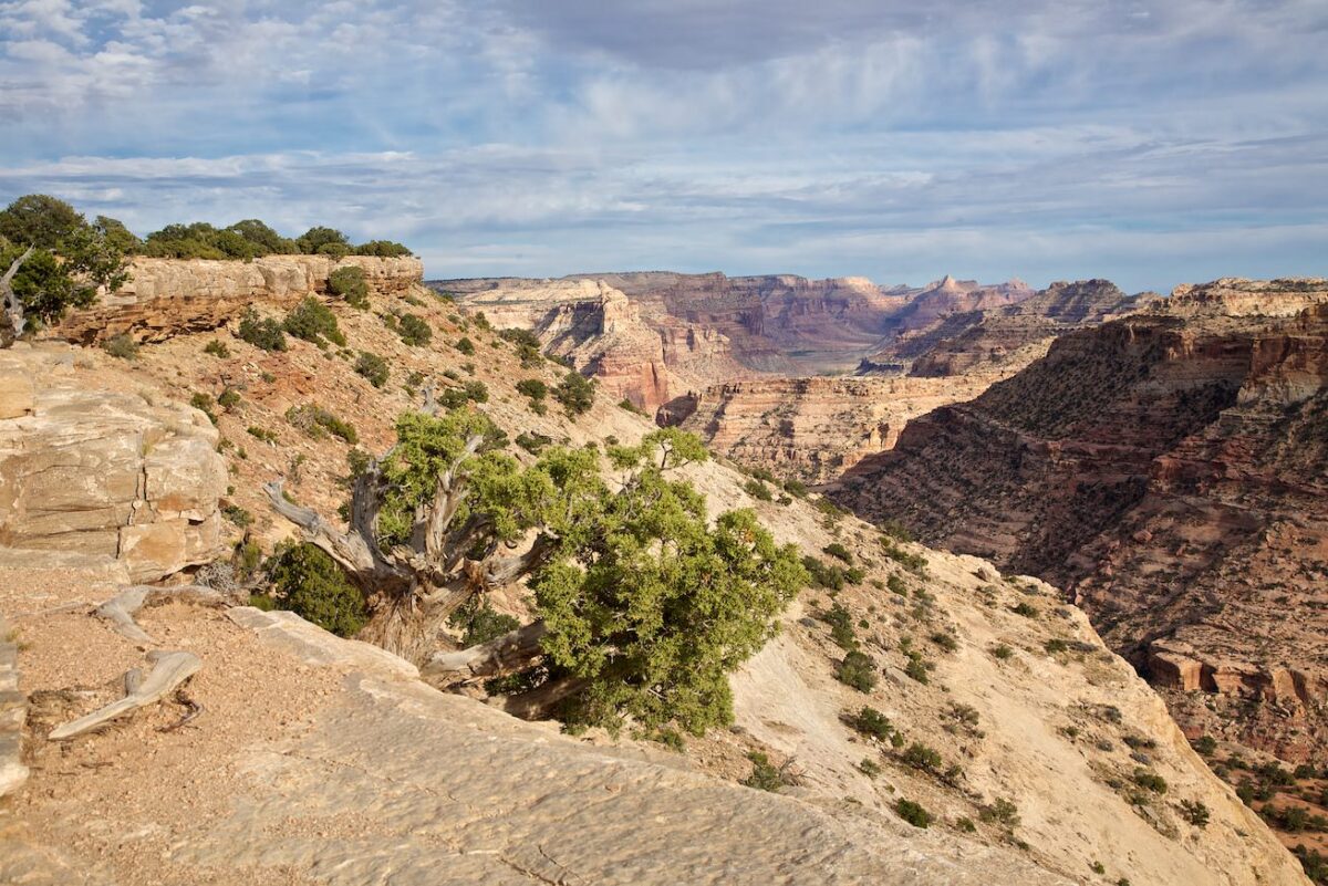
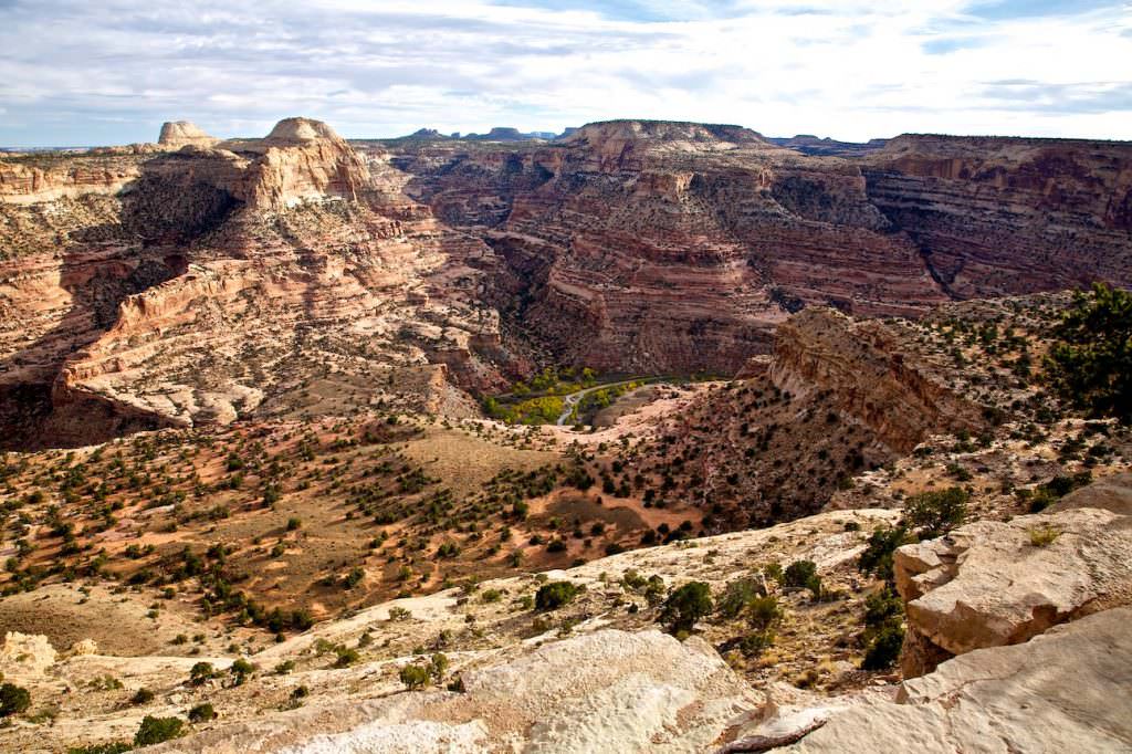
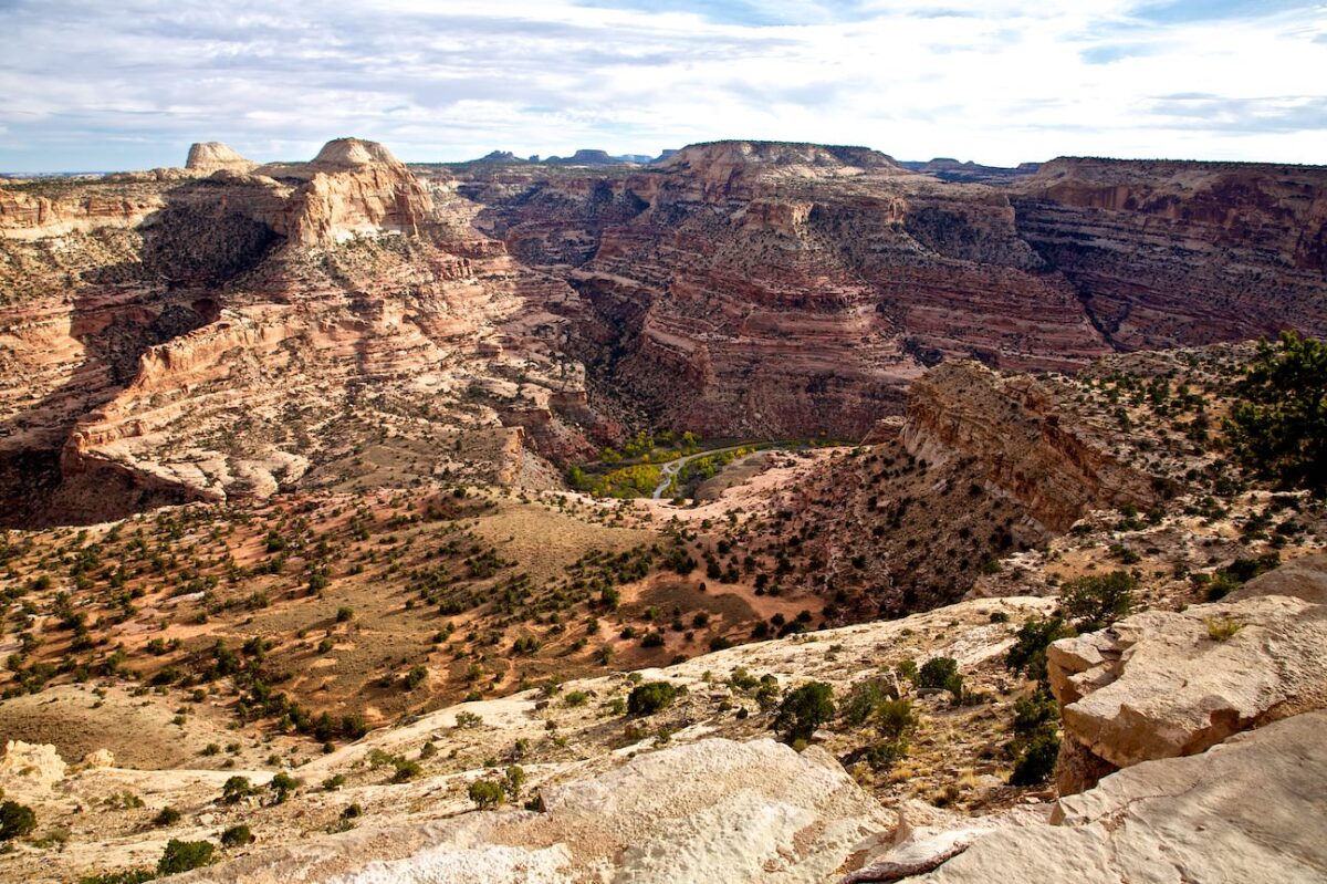
Our rating: Great view, great canyon. There is nothing more to say. If you don't mind the long drive down an unpaved road to a somewhat remote area, you should go here once. In our opinion, the view is worth the drive.
☆☆☆☆☆Bewertet mit 3.5 von 5
Note: On dirt roads, road conditions can change constantly. Therefore, we strongly recommend that everyone check the road conditions before each trip. We do not recommend driving on unpaved roads before, during or shortly after rain or snowfall.


