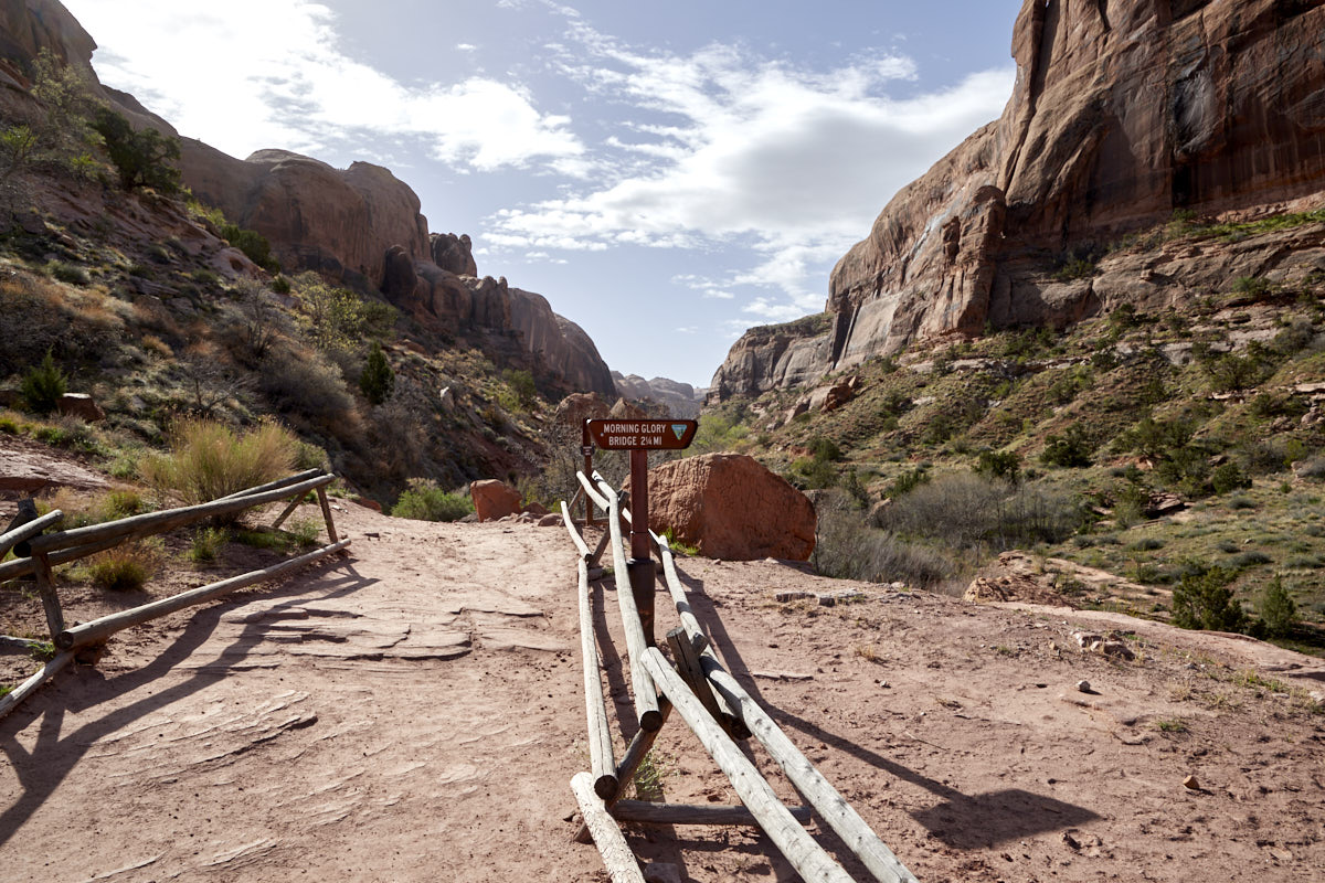
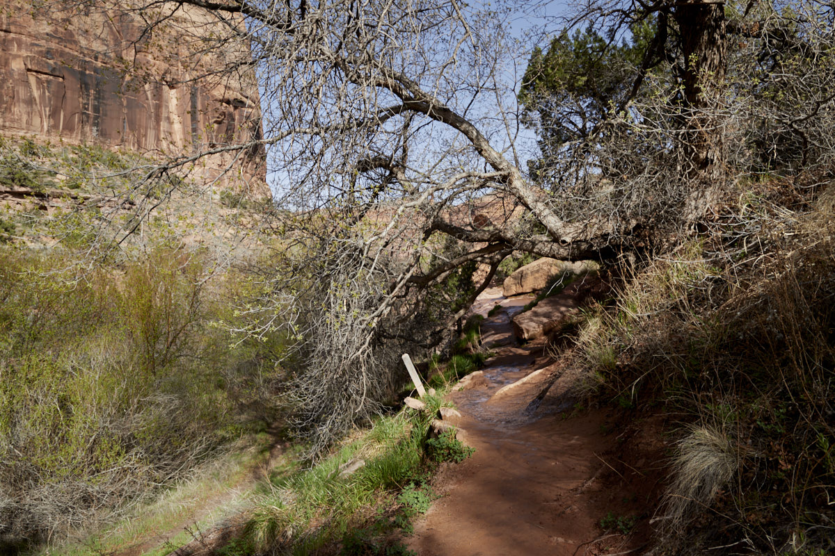
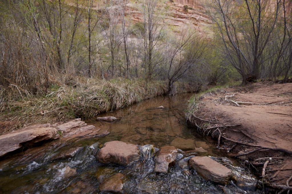
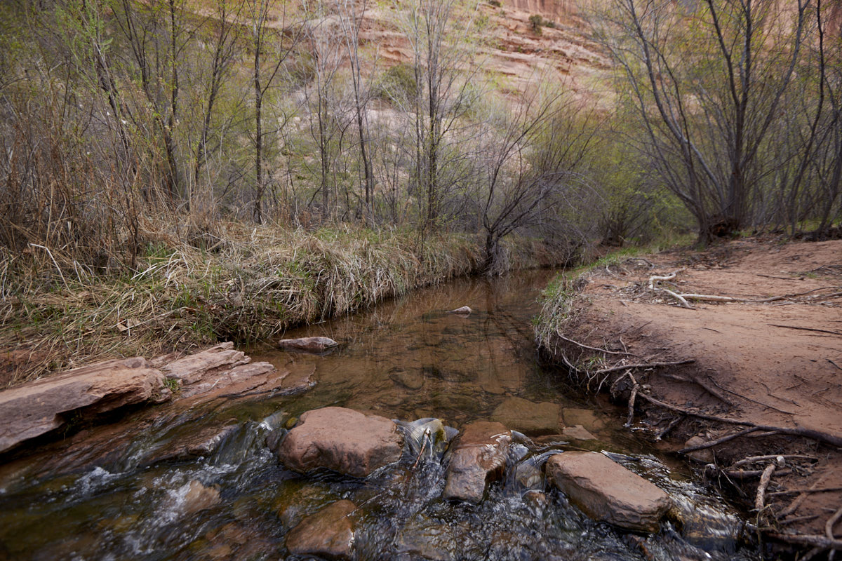
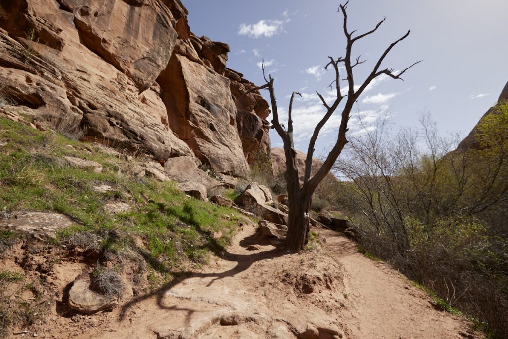
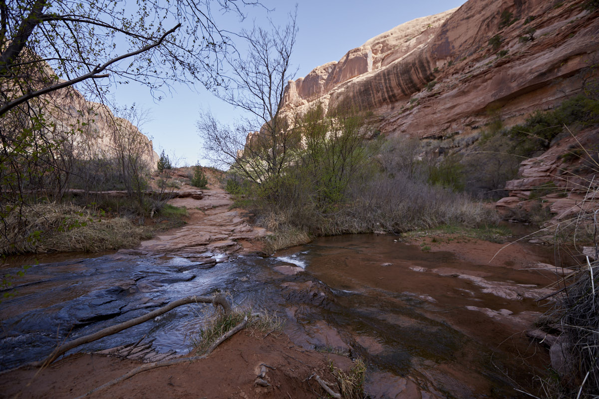
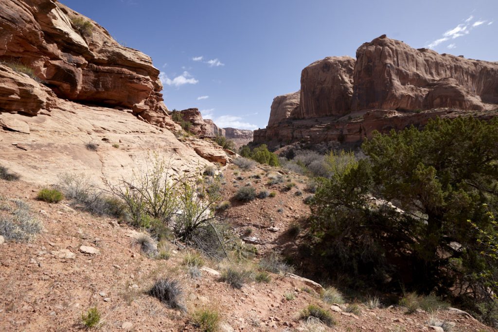
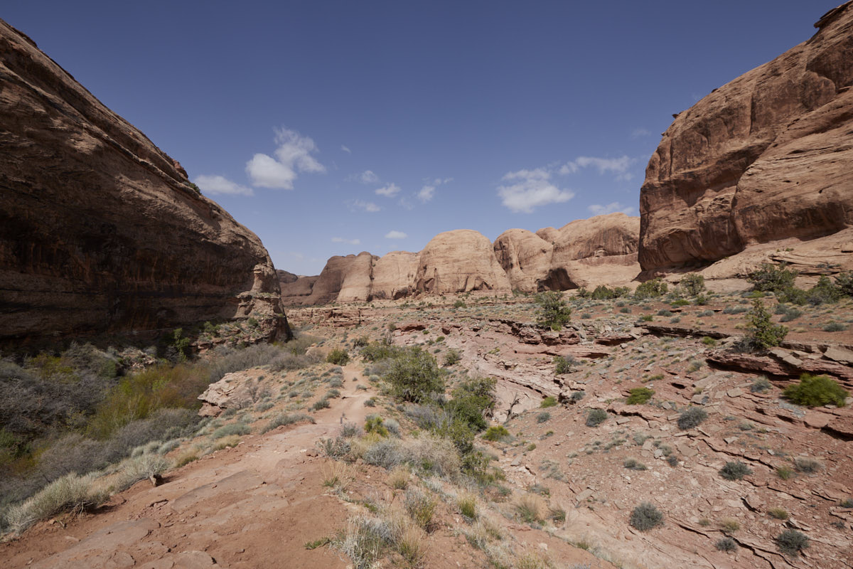
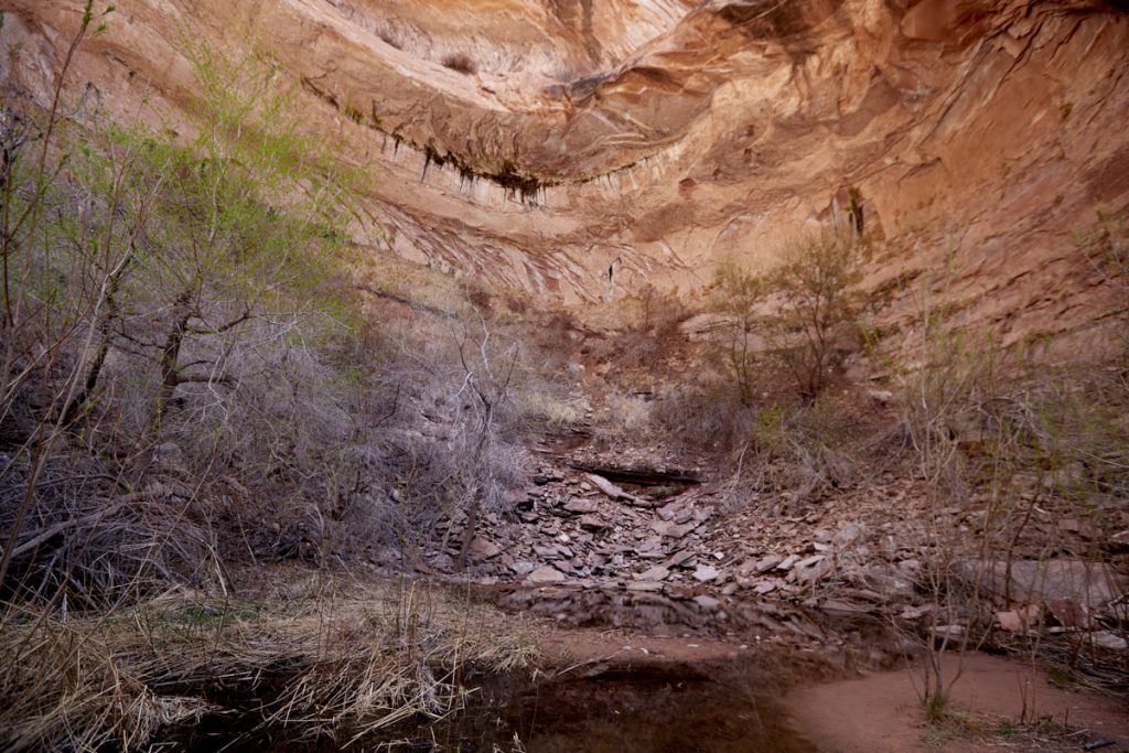
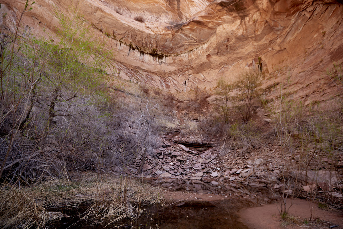
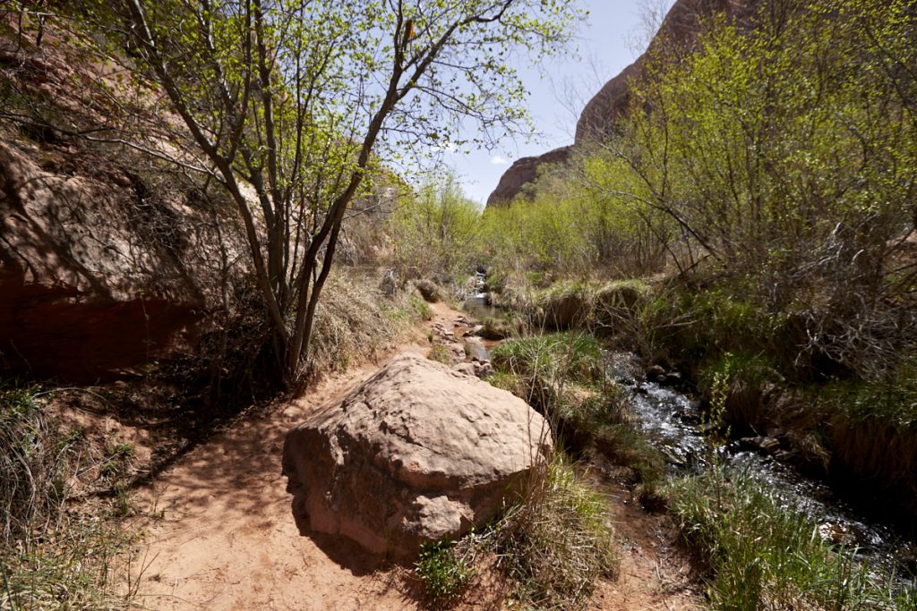
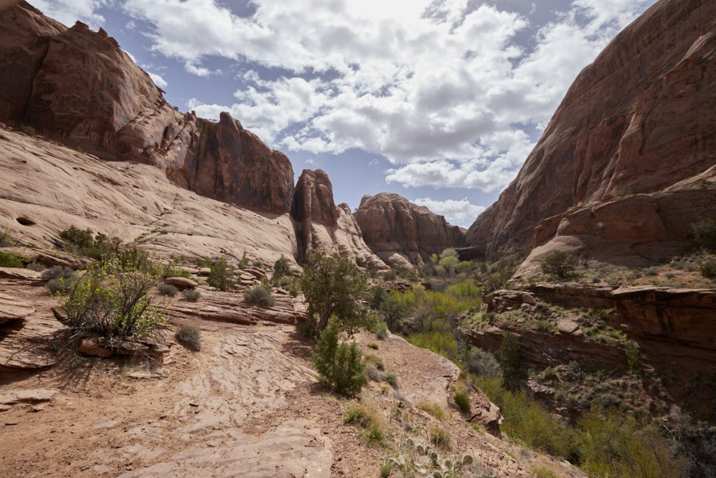
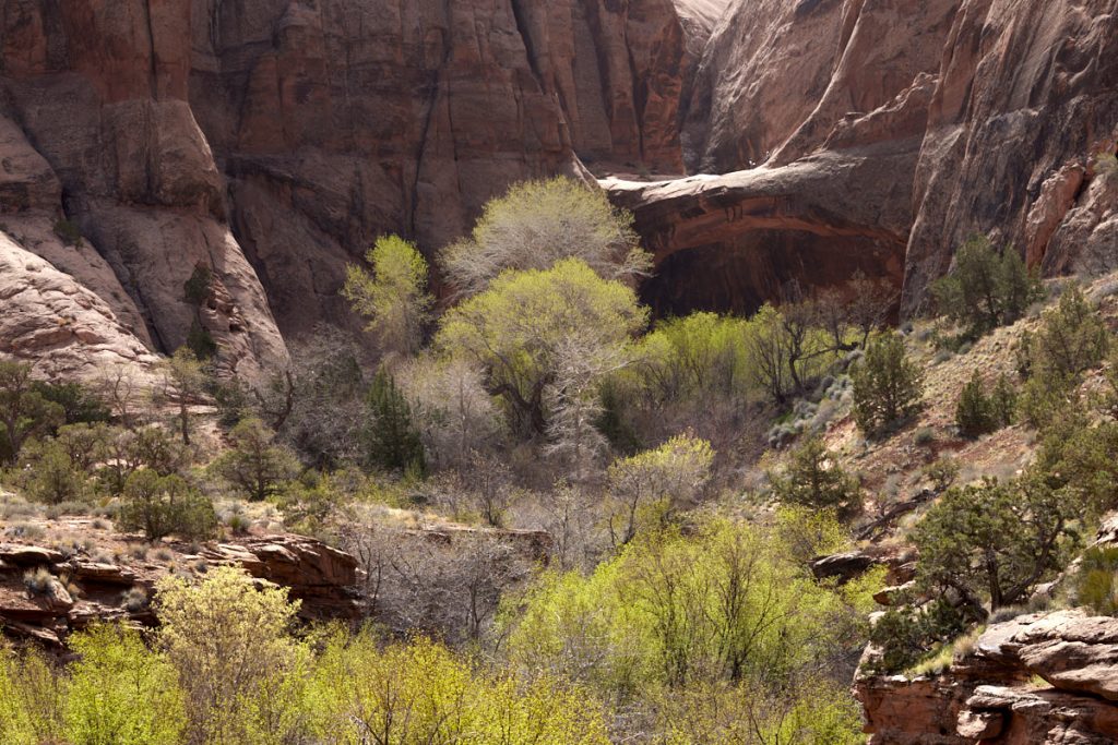
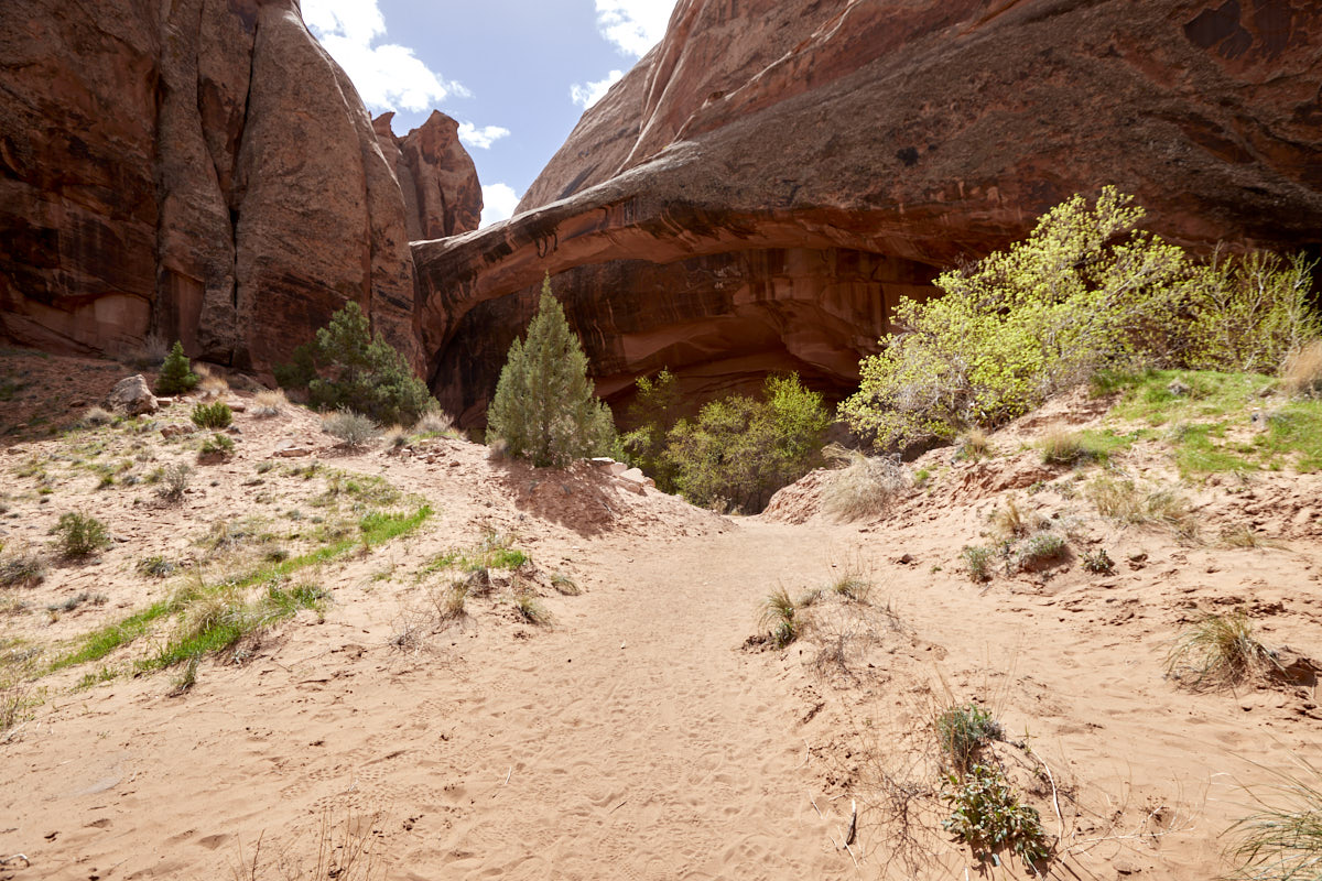
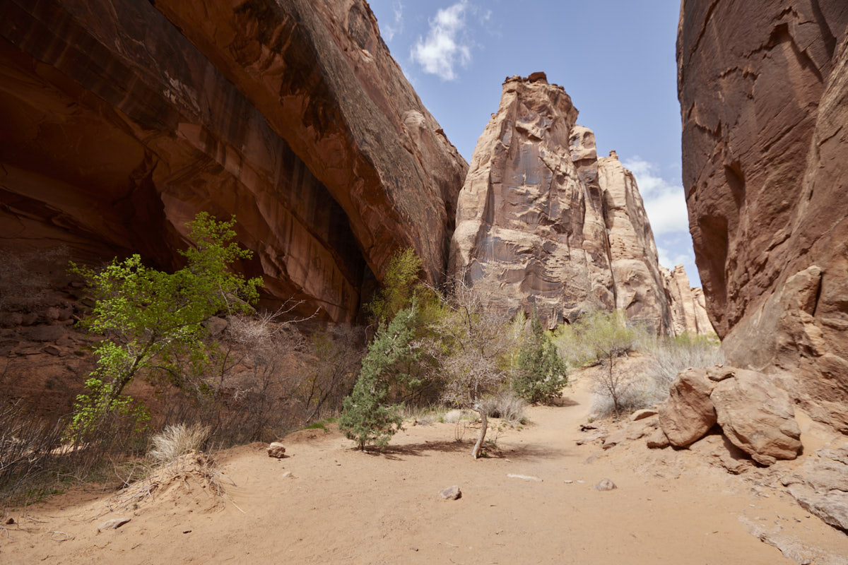
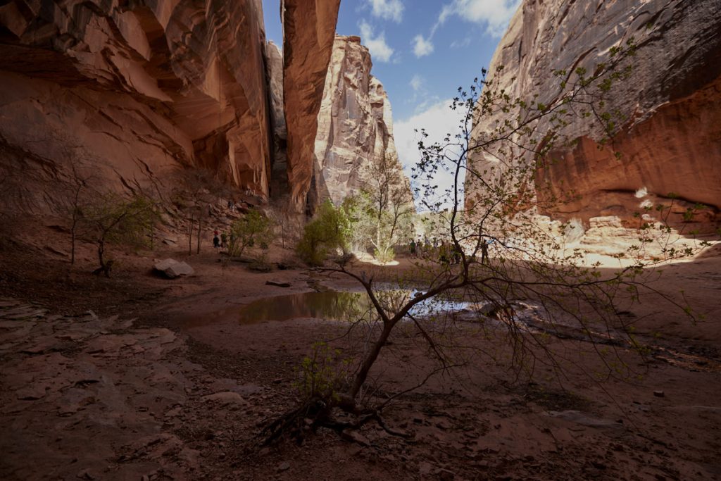
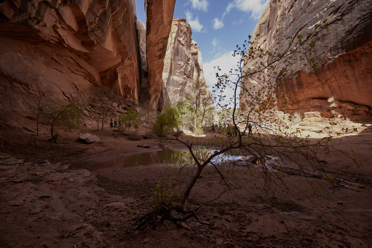
Description: The hike to Morning Glory Bridge starts at the Grandstaff Trailhead (Coordinate:Latitude 38.593548; Longitude -109.508633) about 10km east of Moab. If the actual parking lot is full, you can park your car on a large lot across the road. There is almost always something going on here, so it is recommended to arrive early. From the trailhead you hike in Negro Bill Canyon, along a small creek to the Morning Glory Bridge. You will cross the creek a couple of times along the way. During our visit in April 2022 the creek had a lot of water which made some of the crossings a bit challenging. With a little caution, however, you should be able to do everything without getting your feet wet. You are rewarded by the sixth largest stone bridge in the USA with a span of 243feet.
Our rating: We liked the diverse hike very much. The beautiful canyon, the picturesque little river and a few smaller climbs keep the trail from getting boring. The huge Morning Glory Bridge is also well worth seeing. The only small downer were the many people who were on the trail with us. You' re rather not alone with nature here. Subjective note: Since the terrain is never really flat but rather very uneven, the 1.8mi seem much longer than they actually are.


