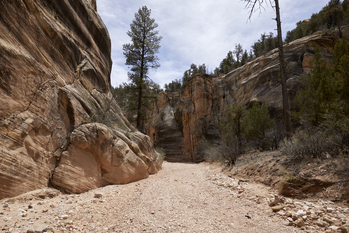
Description: The most popular part for tourists of Willis Creek is on Skutumpah Rd. Coming from the south the approach to the trailhead is 27mi and from the north 6mi long. Both roads are unpaved and only passable when the road is dry. Before setting out you should check the road conditions.
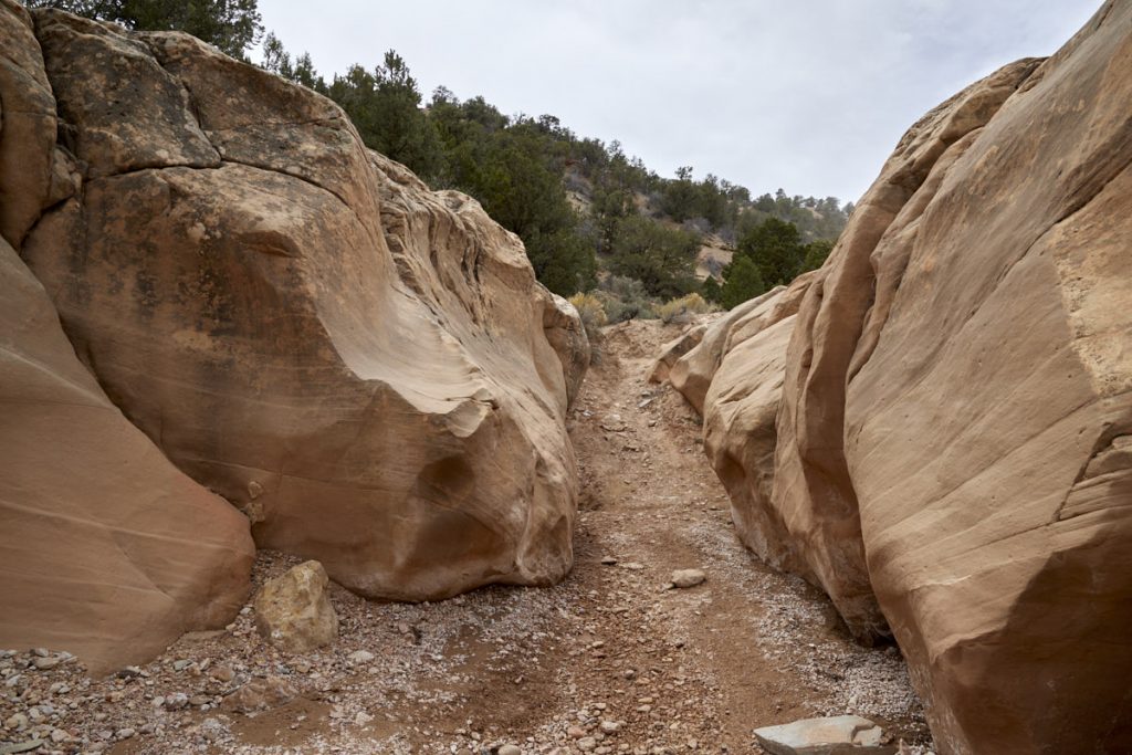
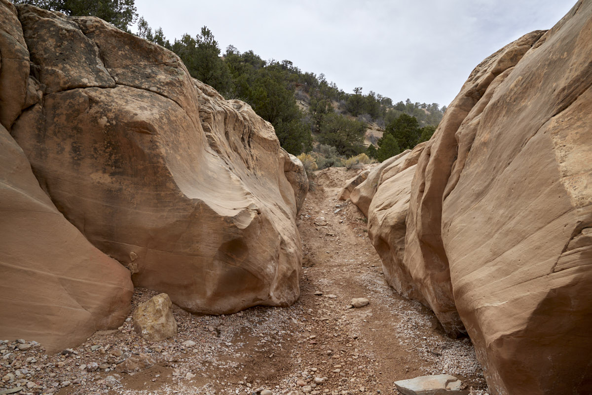
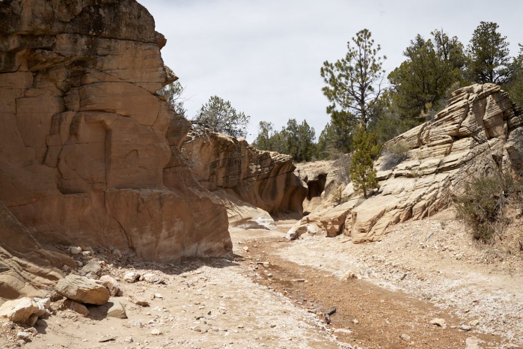
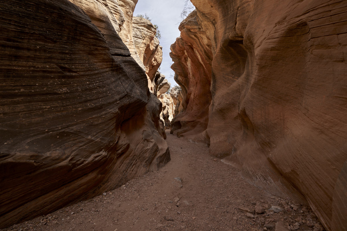
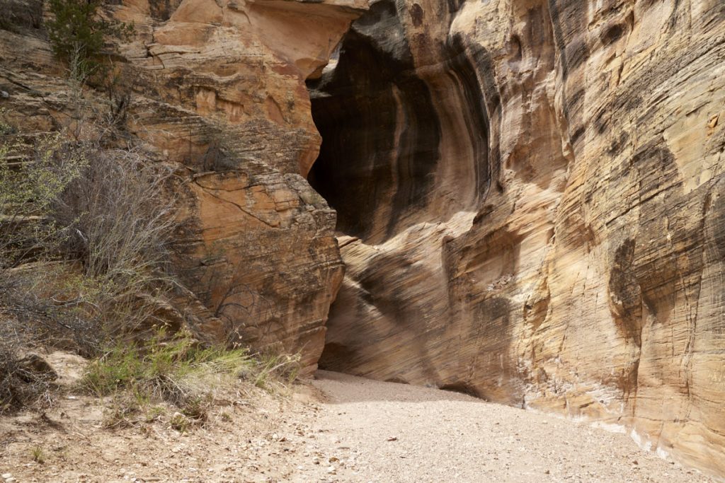
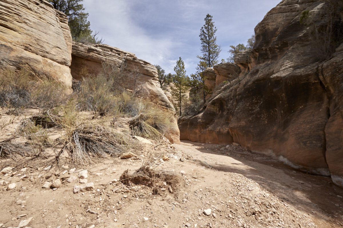
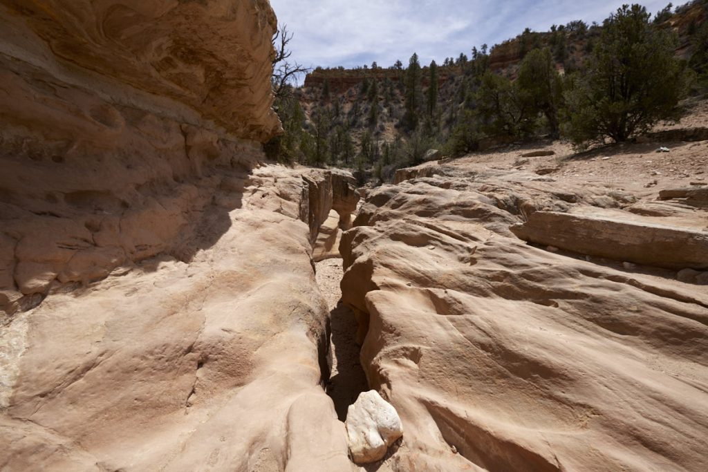
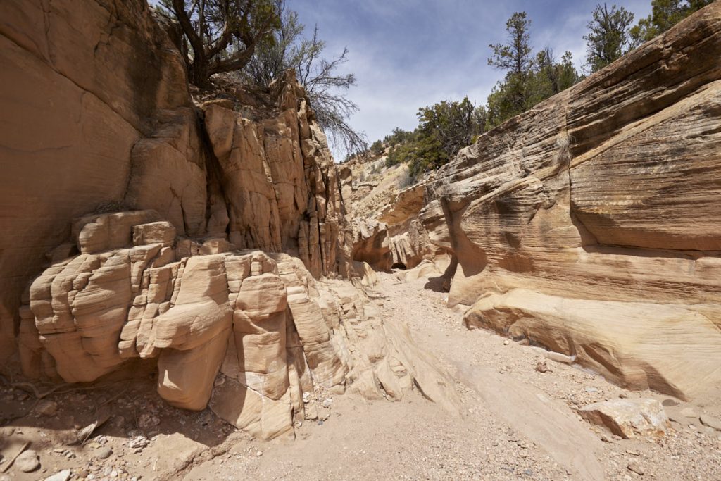
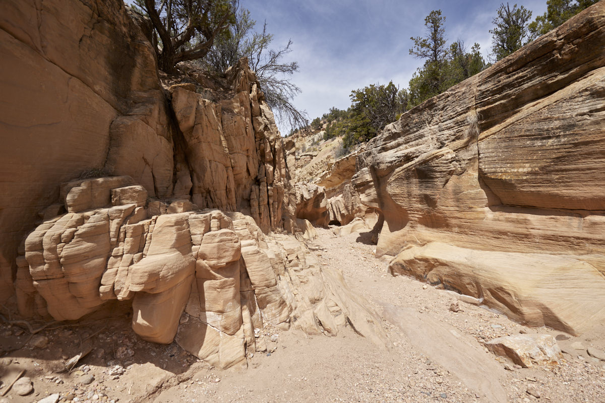
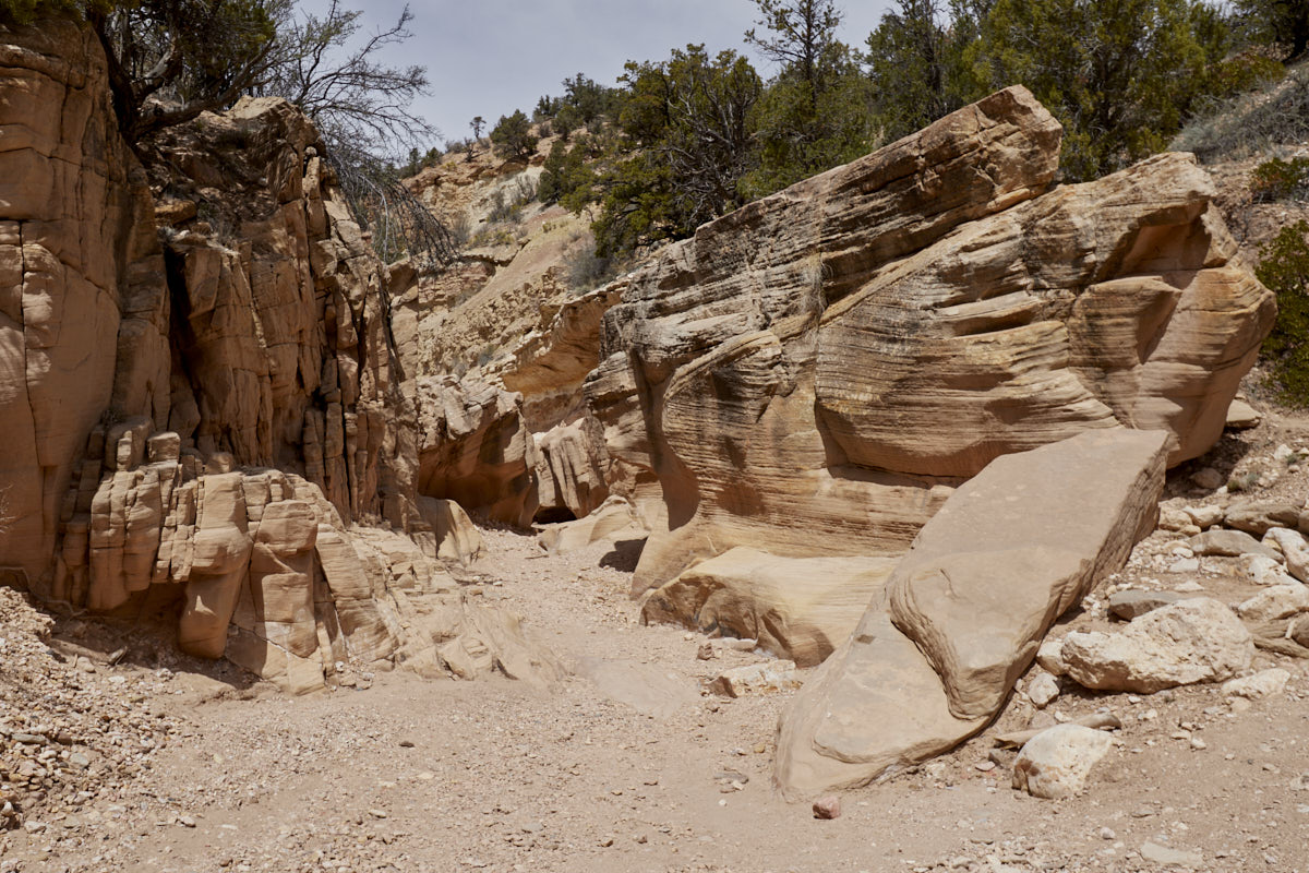
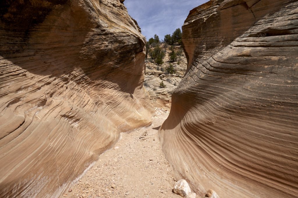
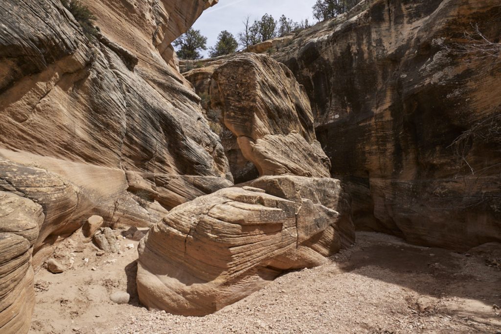
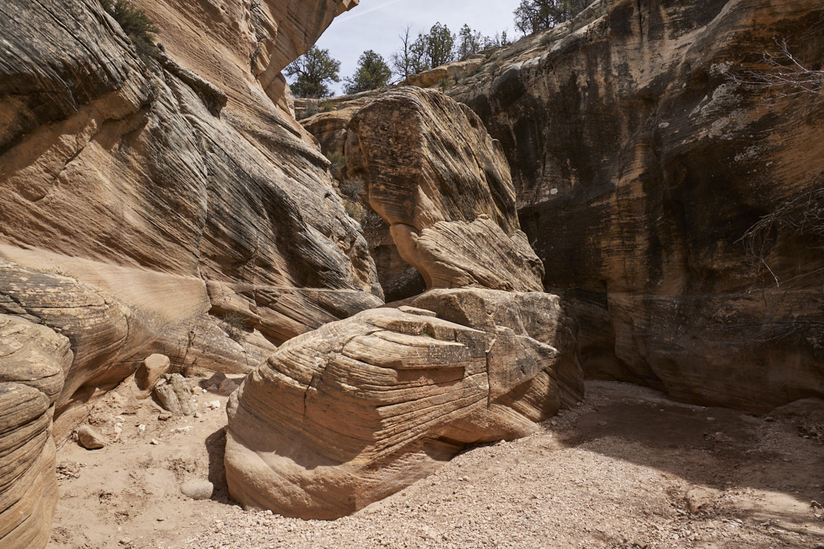
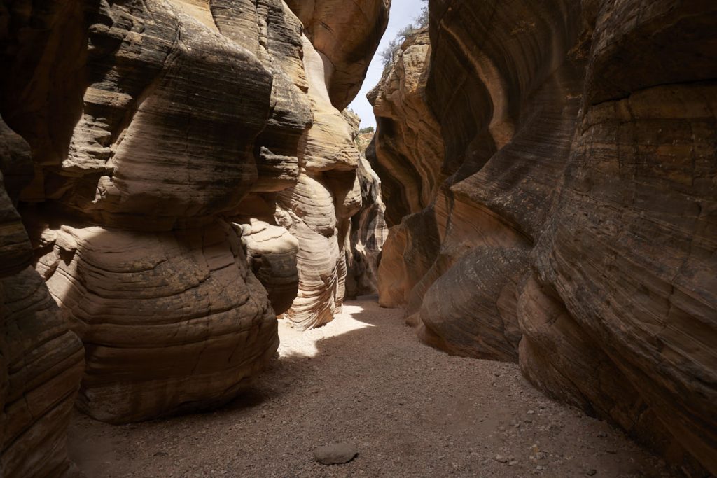
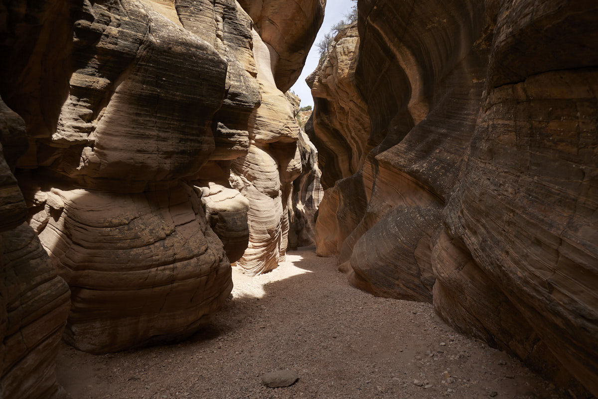
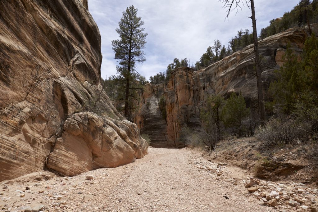
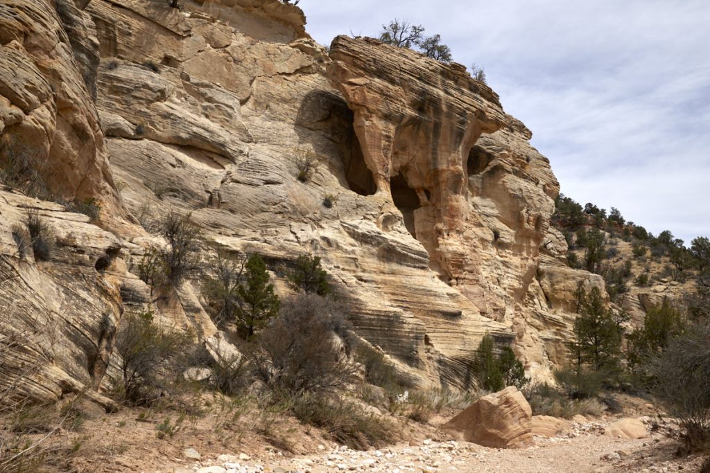
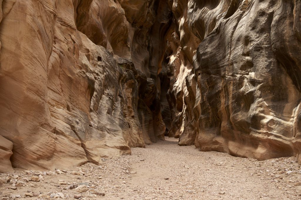
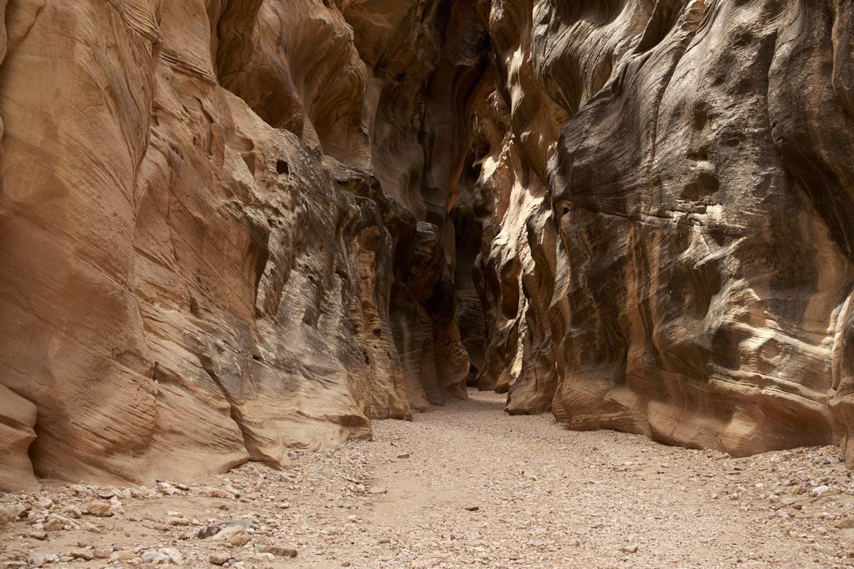
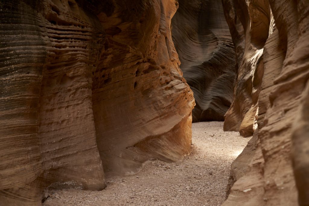
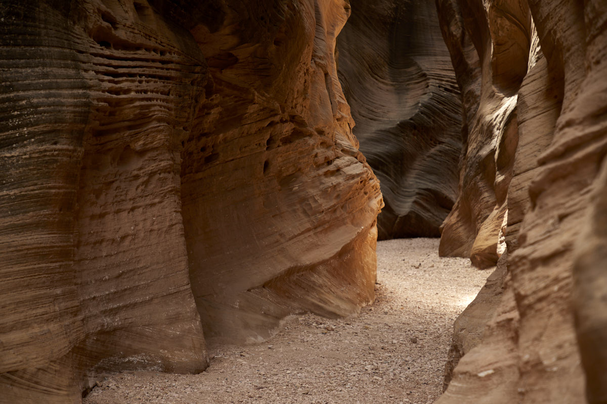
At the trailhead there is a large parking lot. If you run from here to the east you will quickly reach the attractive slot passages. The canyon offers a lot of variety because the narrow passages alternate again and again with open areas. After about 2mi you reach Temple Arch, which nestles at the top of a rock wall. The creek often has a little water flowing through it. During our visit in April 2022 everything was dry. We hiked about 2mi to the confluence with Averett Canyon. The path is flat and very good to walk.
Trail length: 2.3mi oneway to the confluence with Averett Canyon Altitude difference: 262ft Time needed: 2-3 hours Difficulty level:easy
Our rating: We liked Willis Creek quite a bit. Of course, especially the narrow slot passages are interesting, but also the rest of the way is well worth seeing. What you should know though. You are not alone here. The Willis Creek is well known and popular you are probably not alone on the trail. We also found it a bit unfortunate that there was no water in the creek at all.
☆☆☆☆☆Rated 3.5 out of 5
Note: On dirt roads, road conditions can change constantly. Therefore, we strongly recommend that everyone check the road conditions before each trip. The most current information is usually available on the BLM website in Escalante. GSENM-Road-Condition-Report


