Grand Canyon NP protects the area around the 280mi long canyon that the Colorado River has carved into the Colorado Plateau over time. In 1919, the Grand Canyon became a national park. It has also been a UNESCO World Heritage Site since 1979. With over 5 million visitors per year, the park is one of the most visited parks in the USA.
Visitor number 2000
0
Visitor number 2010
0
Number of visitors
In 2020, Grand Canyon NP ranked 6th in the most visited national parks visitor statistics and 2nd in 2023. Best time to visit:Basically, it is beautiful all year round. Winter is the least busy, but some trails are difficult or impossible to hike. Our visits: So far 8 visits: August 1992, August 1994, April 1997, September 1999, November 2009, May 2013, October 2014, February 2016
*The Anual Pass is so to speak the "flat rate" for all Parks managed by the National Park Service. The pass costs a one-time fee of $80 and can be purchased at the entrance to each National Park, National Monument, etc. The pass is valid for 13 months.
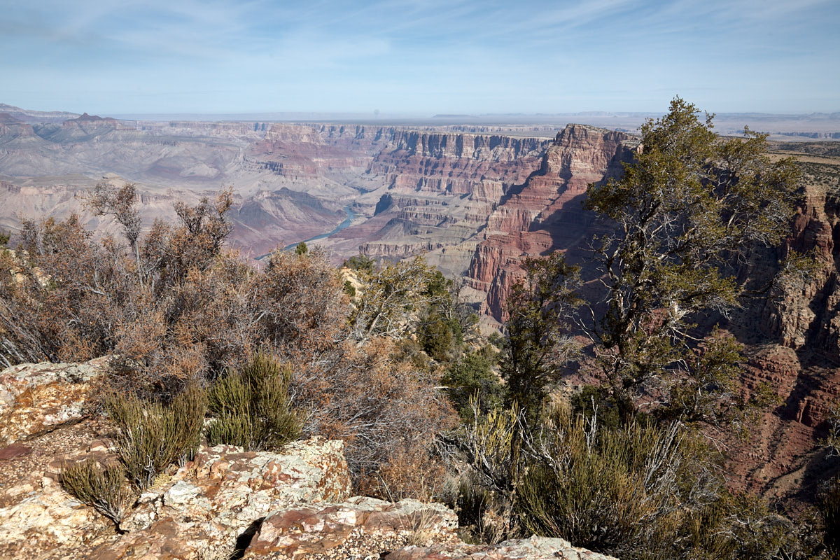
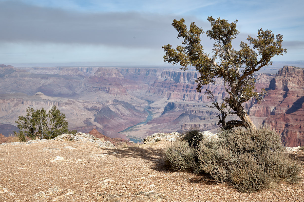
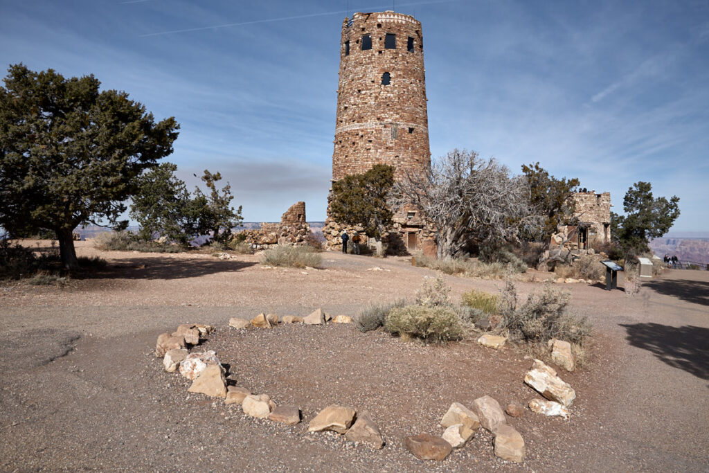
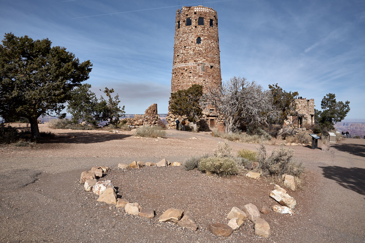
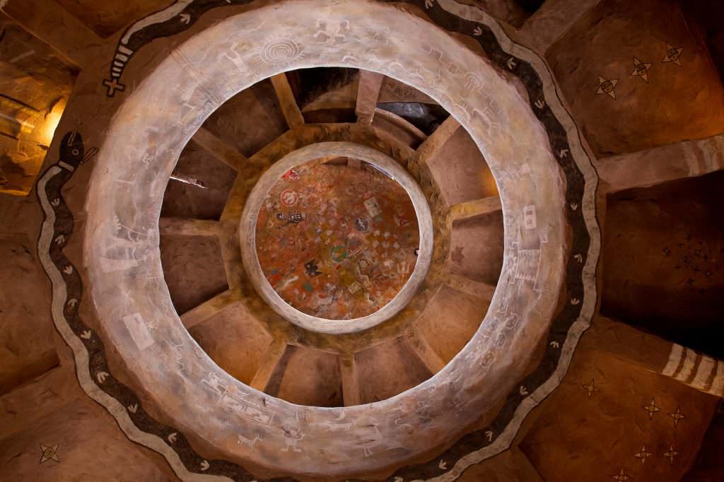
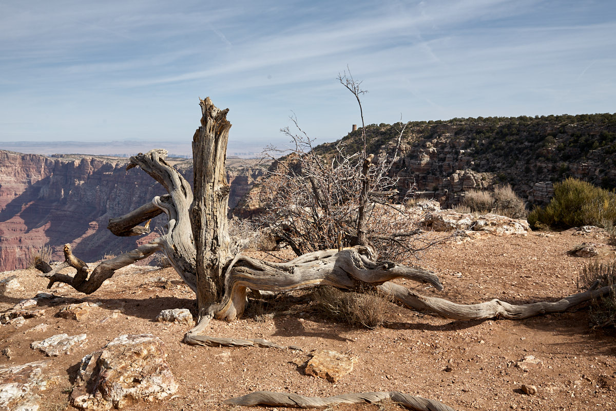
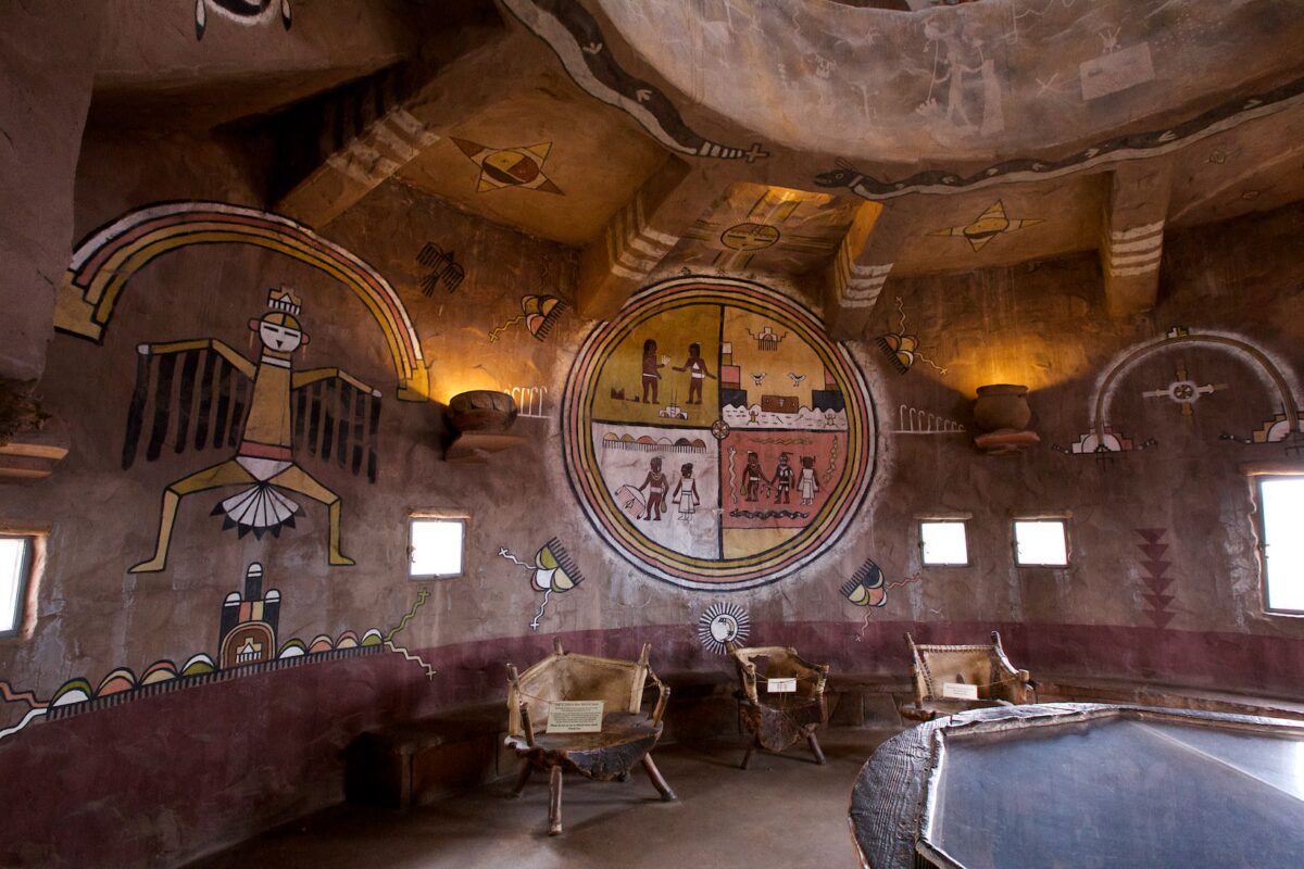
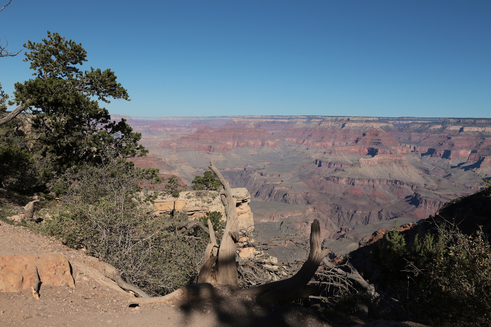
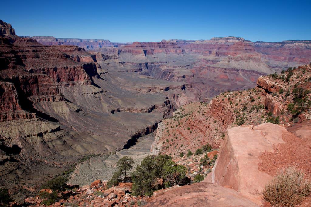
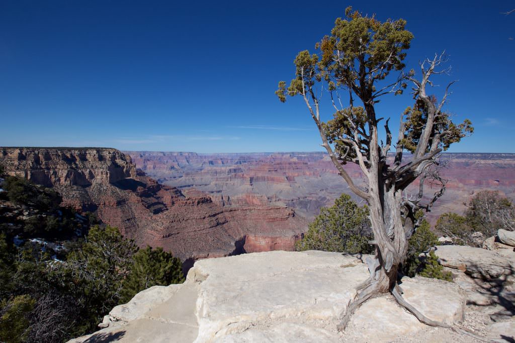
Description: Coming from the east, Desert View is the first big viewpoint to head for. Besides the great view, the Watchtower is one of the highlights here. This is a four-story observation tower, designed in 1932 by Mary Colter, to enjoy the view. Everything worth knowing about the Watchtower can be found on the Parks homepage.
Our rating:If you don't know the Grand Canon yet and arrive from the east, you should definitely not miss the viewpoint. Besides the gigantic view into the canyon, you can also have a very good look at the Colorado. Furthermore, the Watchtower is also worth seeing.
☆☆☆☆☆Bewertet mit 4 von 5
Desert View
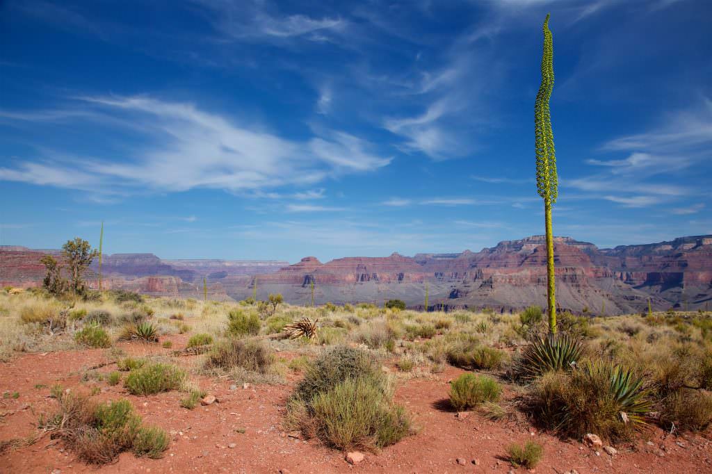
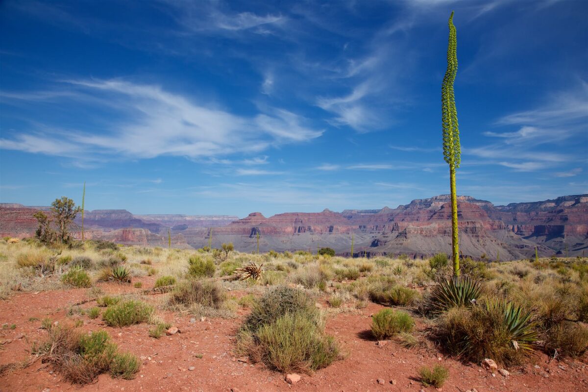
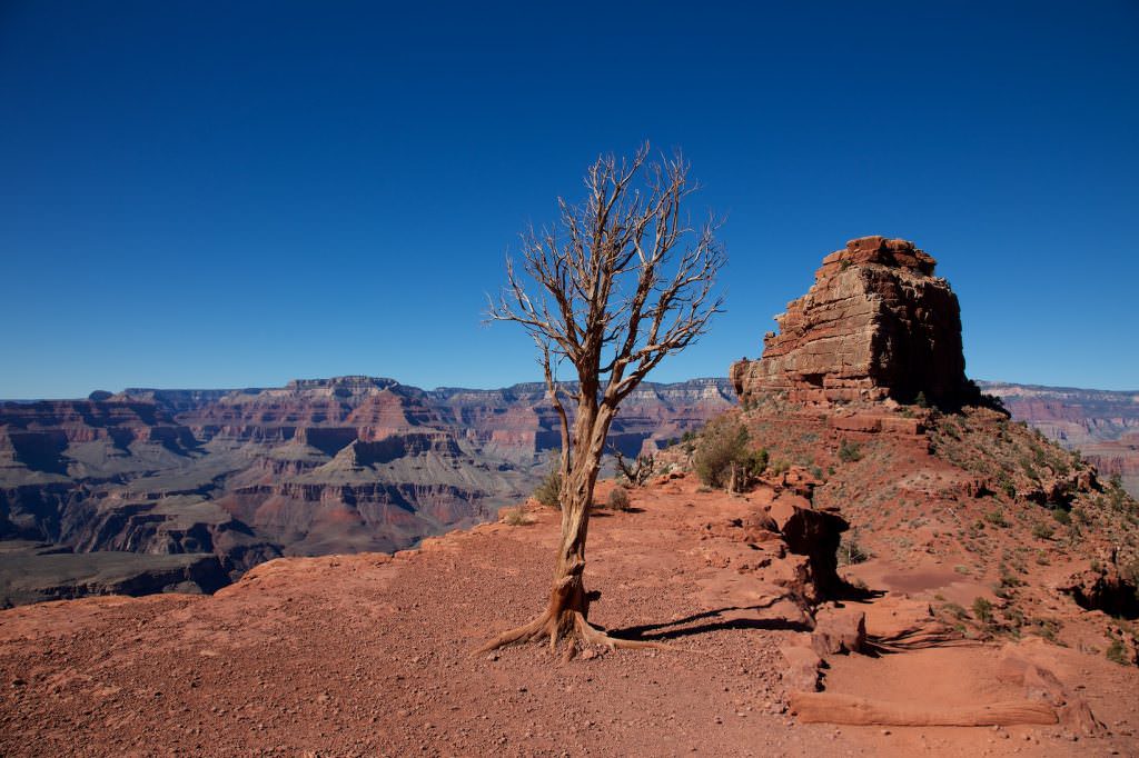
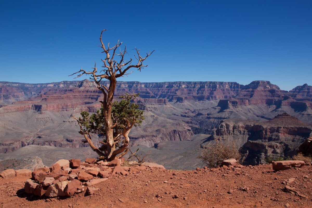
Grand Canyon South Rim
Wachtower
Grand Canyon South Rim
Watchtower
Grand Canyon South Rim
Grand Canyon South Rim
Watchtower
Grand Canyon South Rim
Wachtower
Grand Canyon South Rim
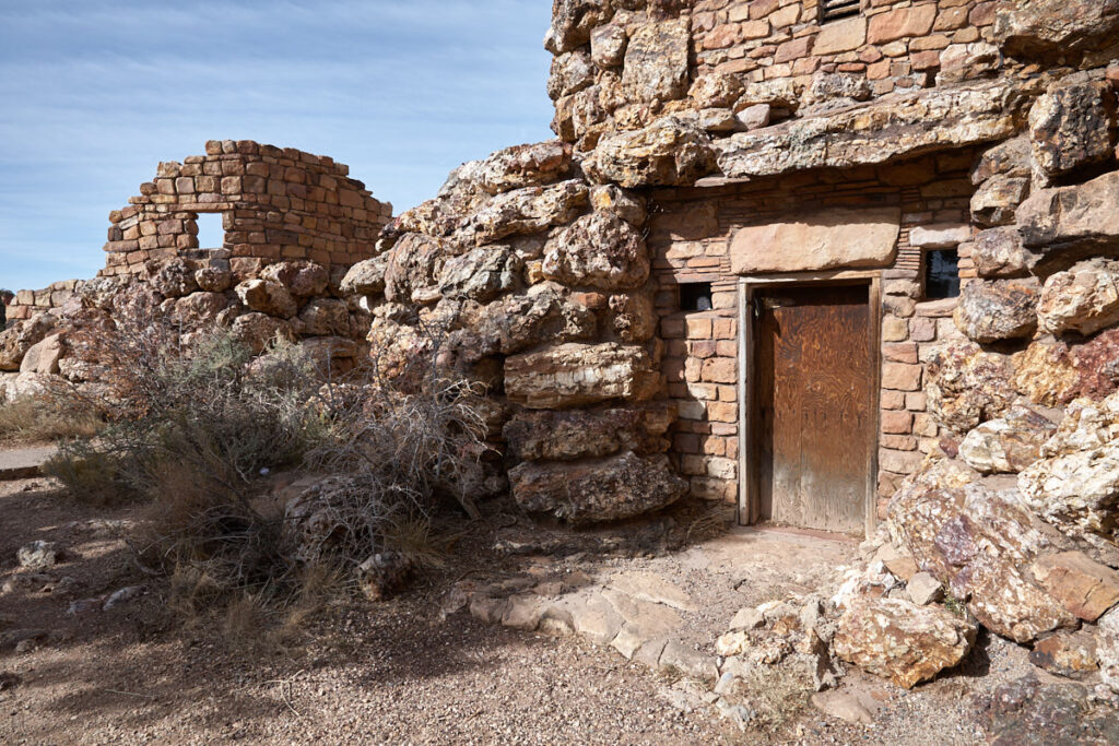
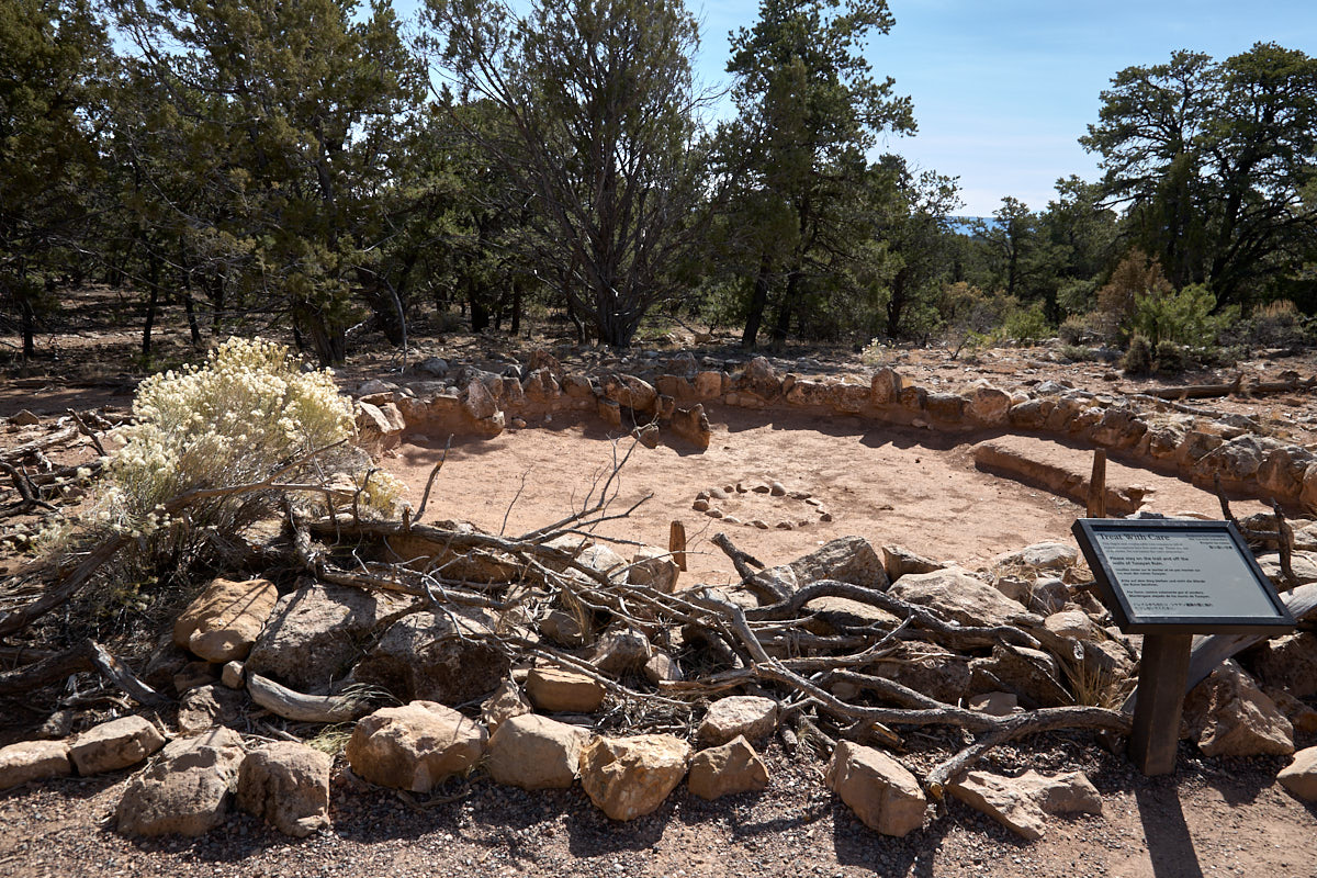
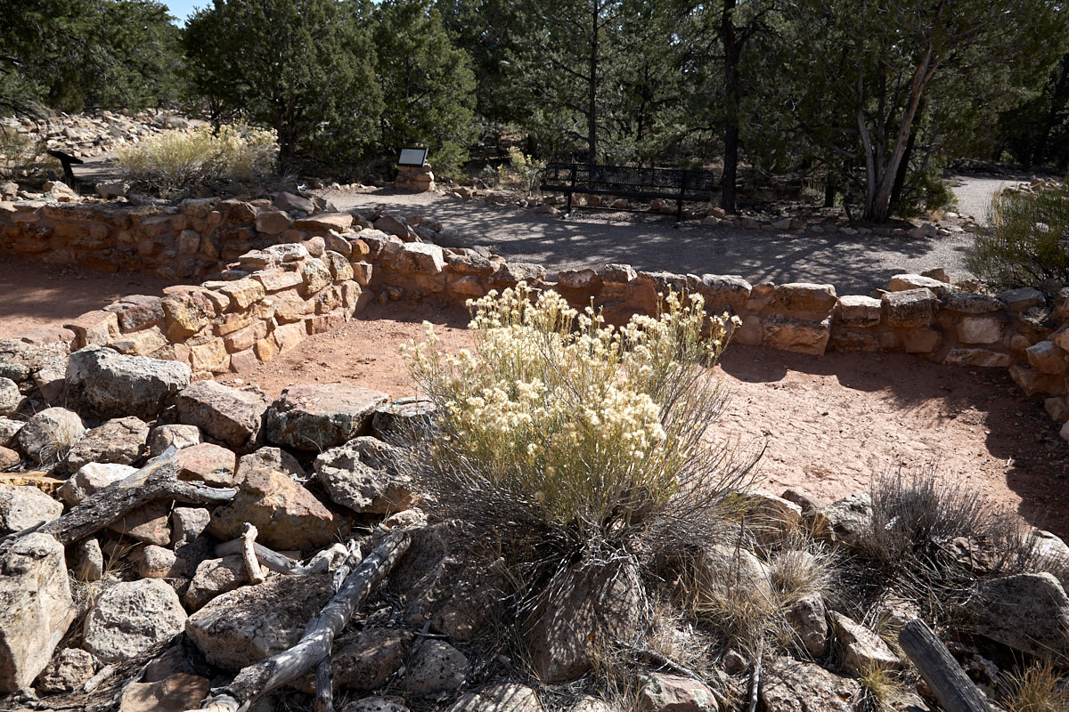
Tusayan Ruin
Tusayan Museum and Ruin
Description: Here you can visit, among other things, an 800-year-old pueblo. One of the most important archaeologically relevant places in Arizona.
Our rating:Not a must-see, but quite interesting if you have a little time left and are interested in Native American history.
☆☆☆☆☆Bewertet mit 2 von 5
Tusayan Ruin
Startingpoint
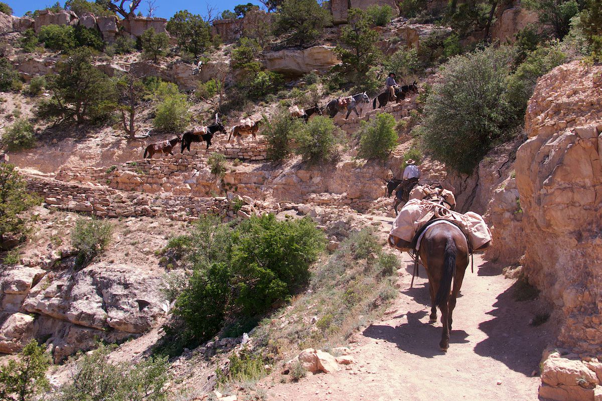
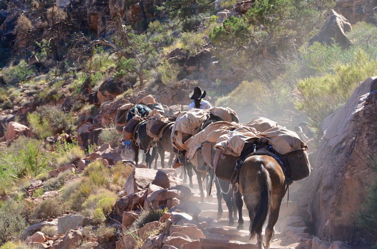
In the afternoon the mules from the Phantom Ranch pass by
South Kaibab Trail
One note in advance!!! The tour down to the Colorado and back up to the rim is not a day hike. All official national park brochures warn against attempting just that. Those who do it anyway should be aware that this is a very difficult hike with a lot of elevation gain in the descent and ascent. The ascent does not come at the beginning as usual, but at the end, when you already have quite a few miles in your legs. It happens regularly that hikers overestimate themselves and then have to be rescued. Water is only available at the trailhead and at Phantom Ranch. There is no water on the entire trail in between.
Trail length: 13.9mi roundtrip Altitude difference: about 4790ft in the descent and the same again in the ascent Time needed: 8 hours Difficulty level:strenuous
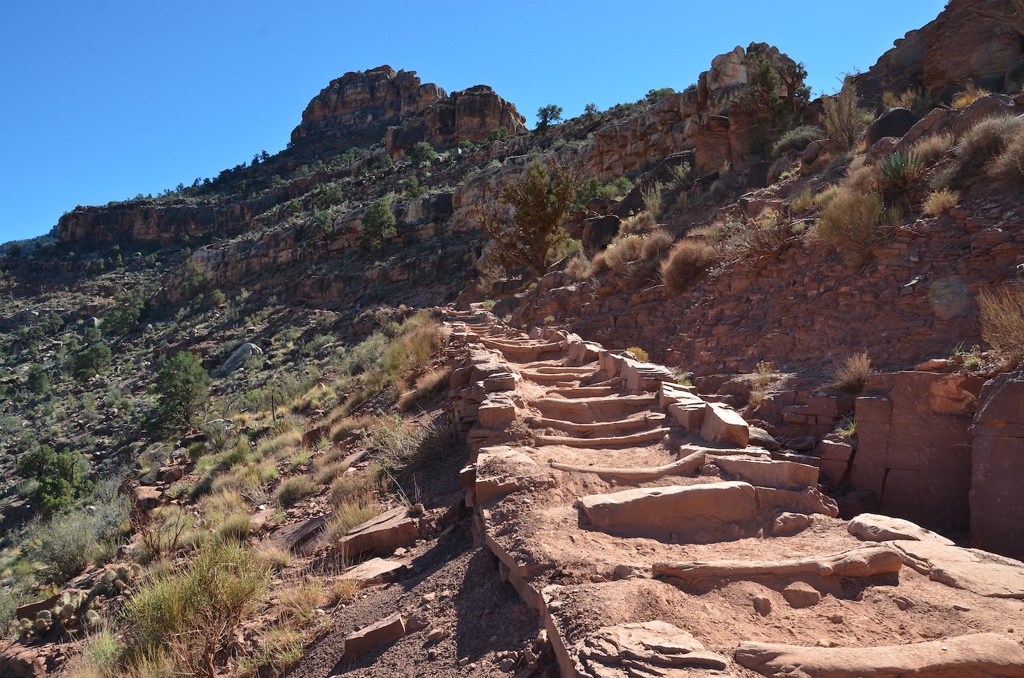
Description: The trailhead to the South Kaibab Trail can only be reached by shuttle bus. It is not possible to get there by private car. The departure times and bus stops can be found on the official national park page.
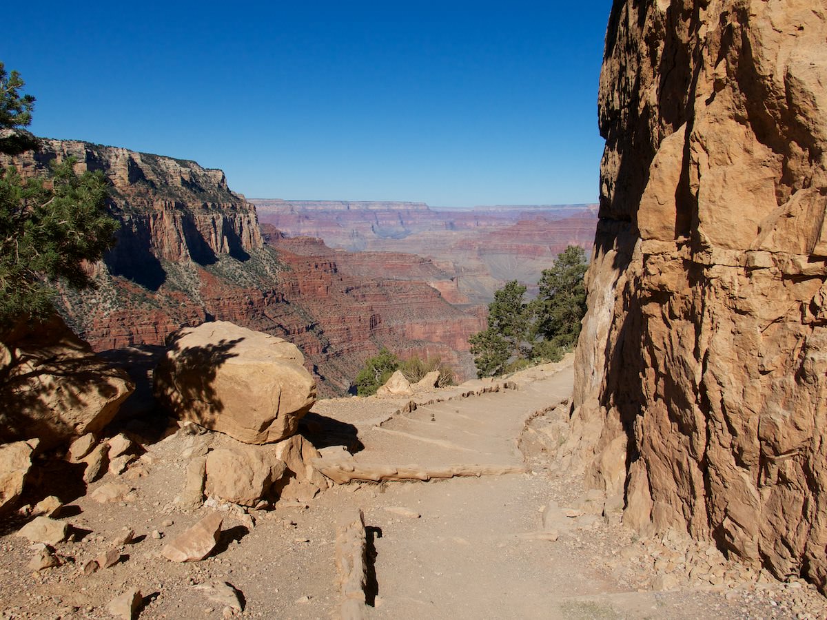
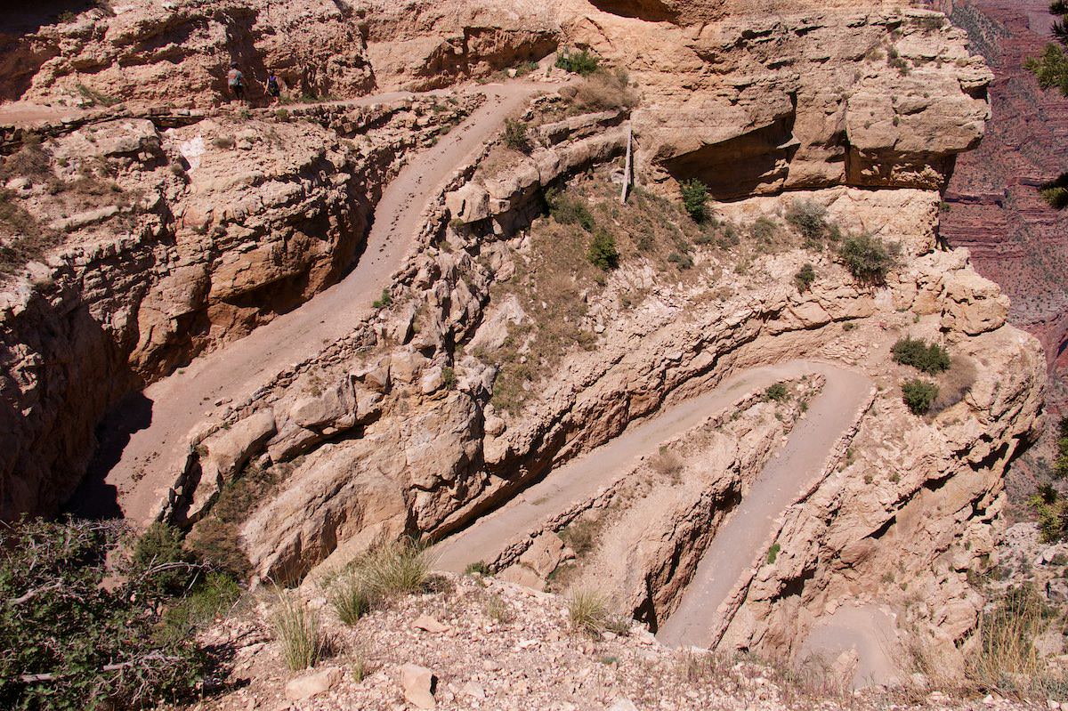
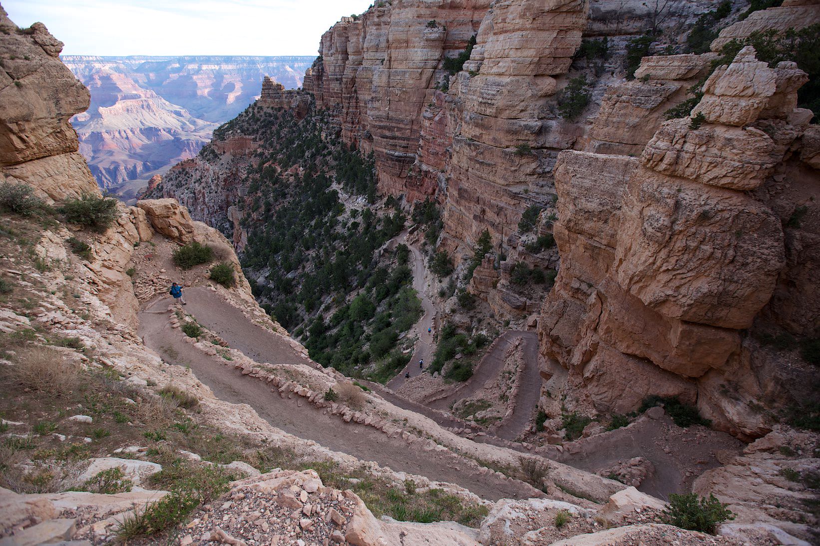
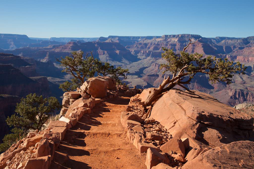
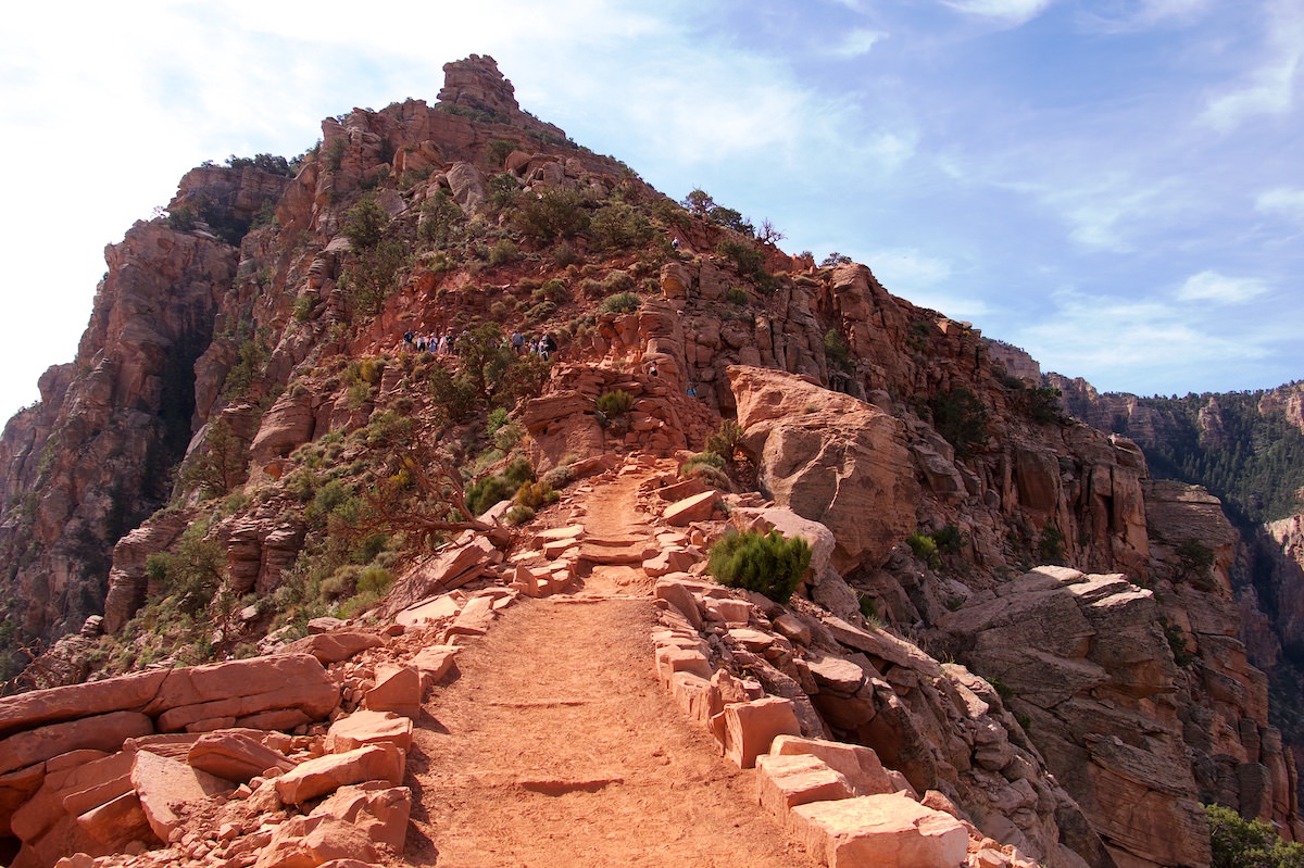
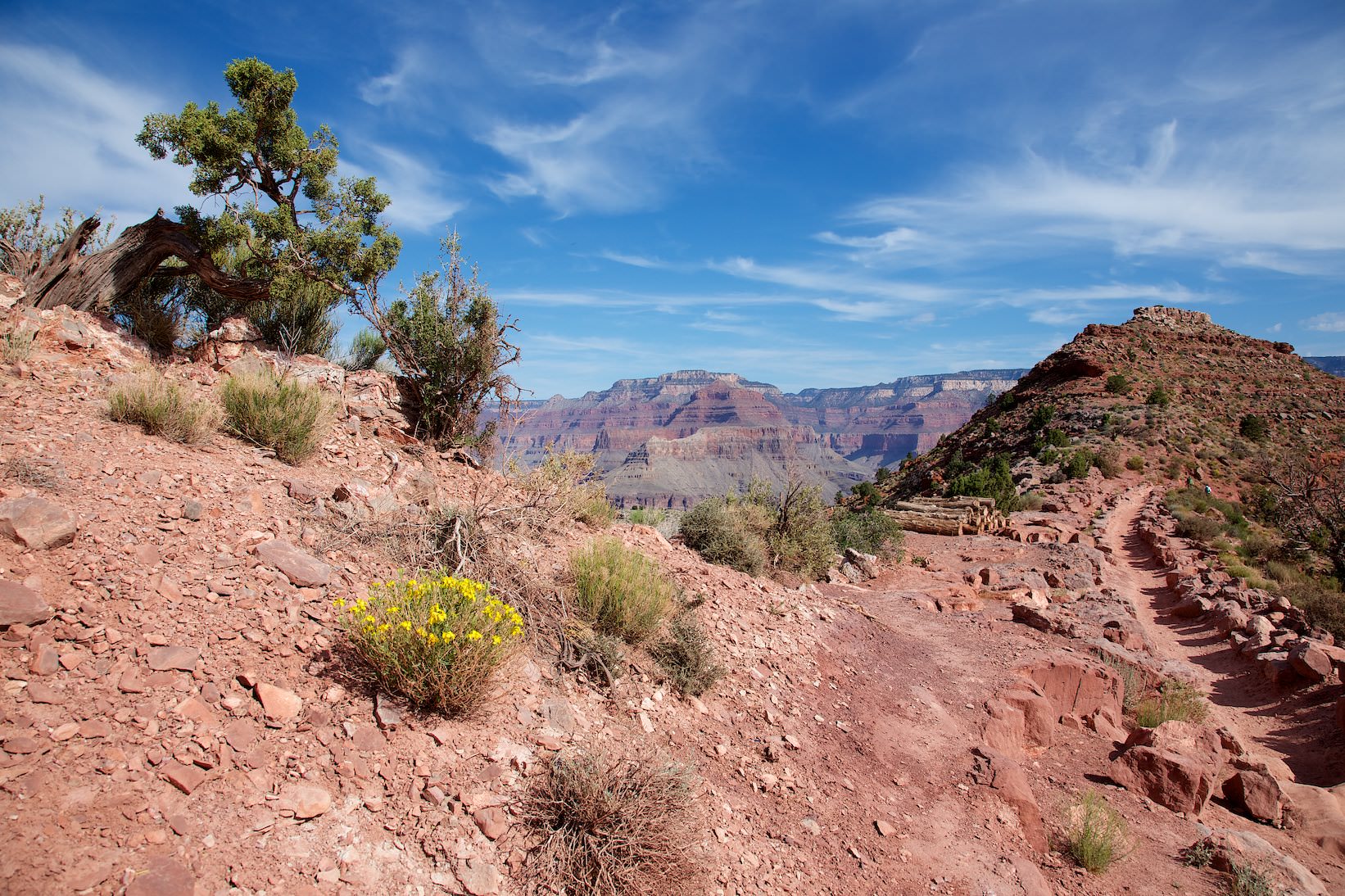
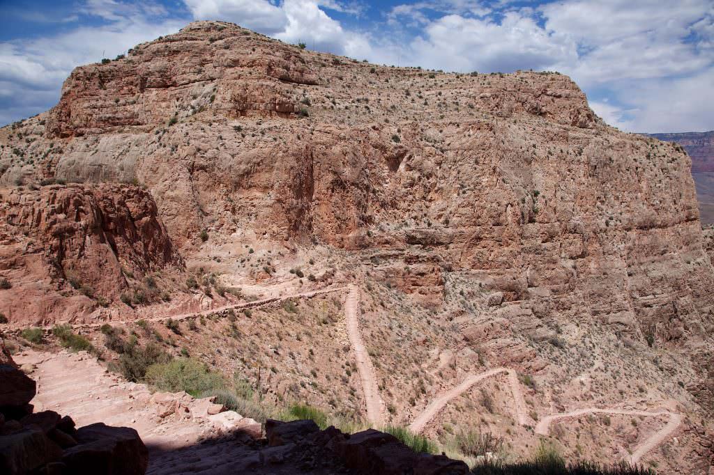
Once you have reached the trailhead with the shuttle, the hike starts with a few steep switchbacks. The trail is relatively wide and easy to walk.
Let's start with a few switchbacks
In the morning the switchbacks are still in the shade
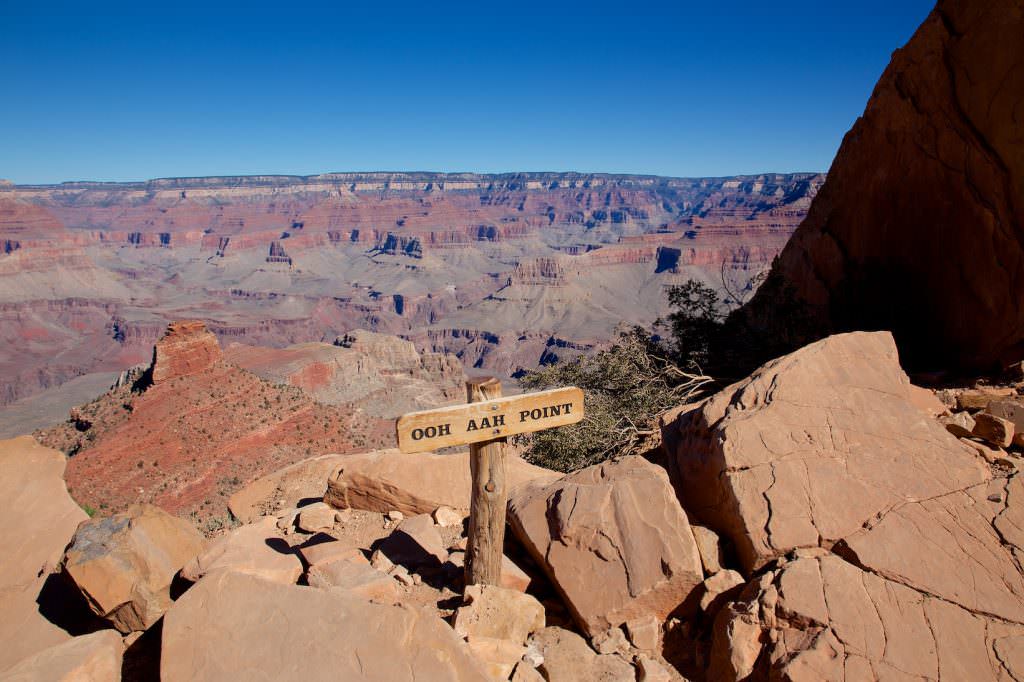
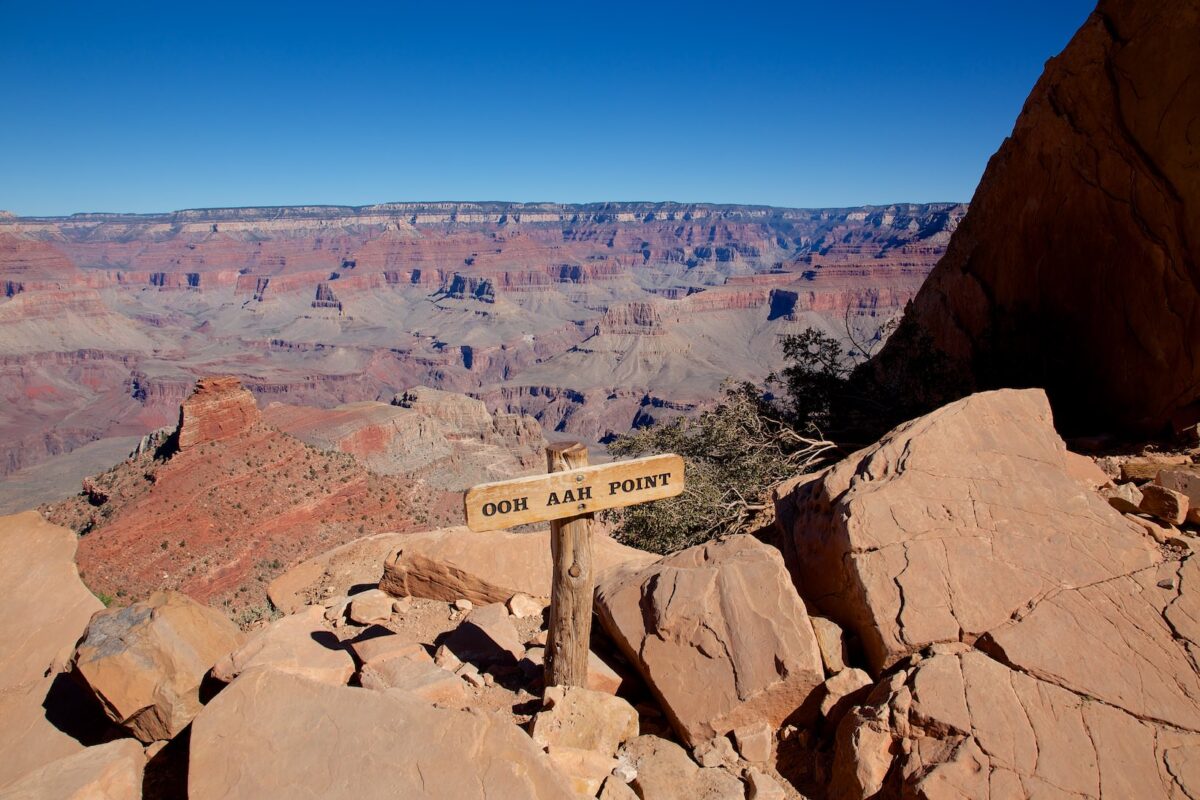
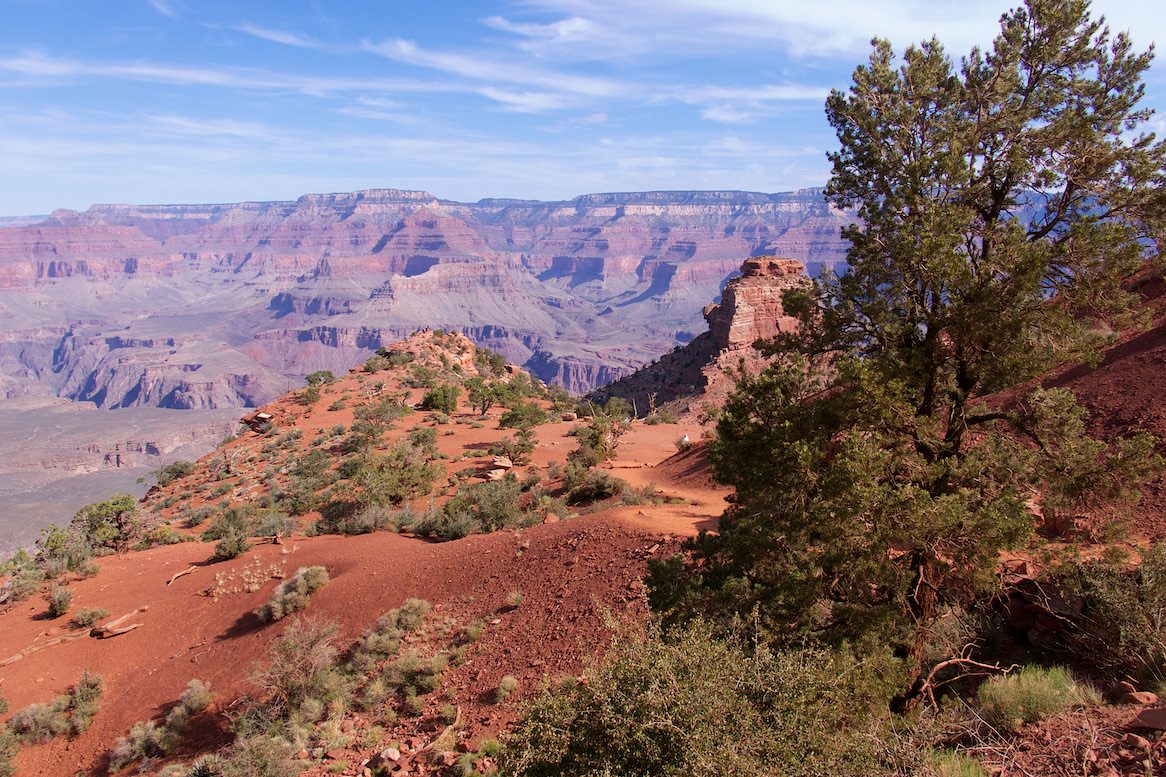
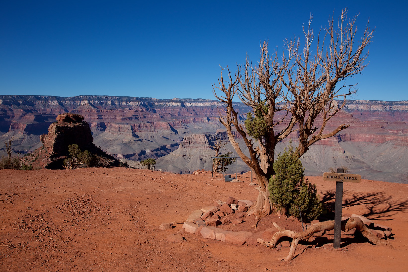
From Oh Ah Point it is only 0.6mi to Cedar Ridge. There are toilets here, but no water! Up to here there is still some activity on the trail. But the further you descend into the canyon, the lonelier it gets. Until Cedar Ridge you have descended 1138ft. From Oh Ah Point it is only half a mile to Cedar Ridge. There are toilets here, but no water! Up to here there is still some activity on the trail. But the further you descend into the canyon, the lonelier it gets. Until Cedar Ridge you have descended 1138ft.
South Kaibab Trail
South Kaibab Trail
Oh Ah Point
South Kaibab Trail
South Kaibab Trail
South Kaibab Trail
Blick hinunter zu Cedar Ridge
South Kaibab Trail
Blick zurück in Richtung Oh Ah Point
View down to Cedar Ridge
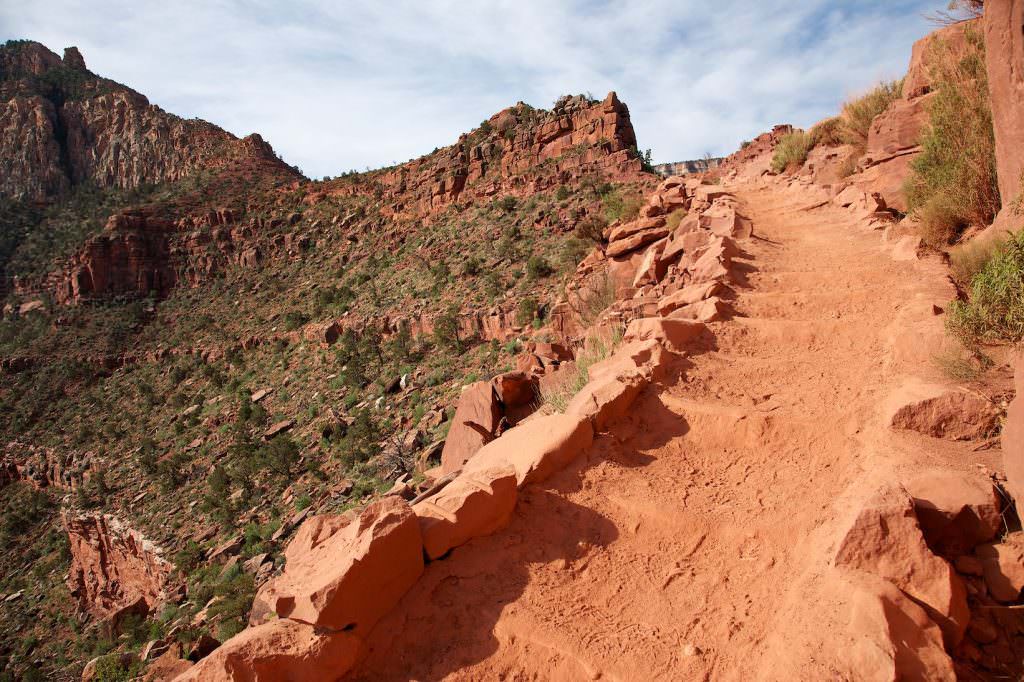
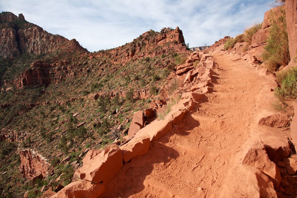
The trail continues to go downhill
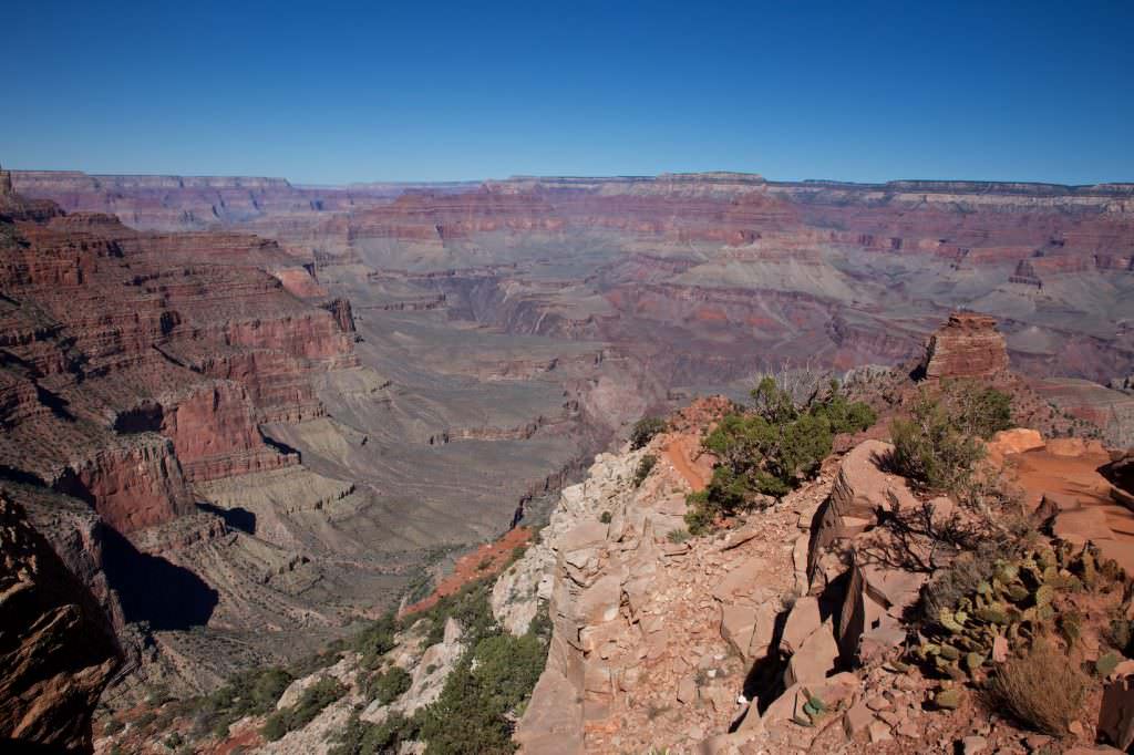
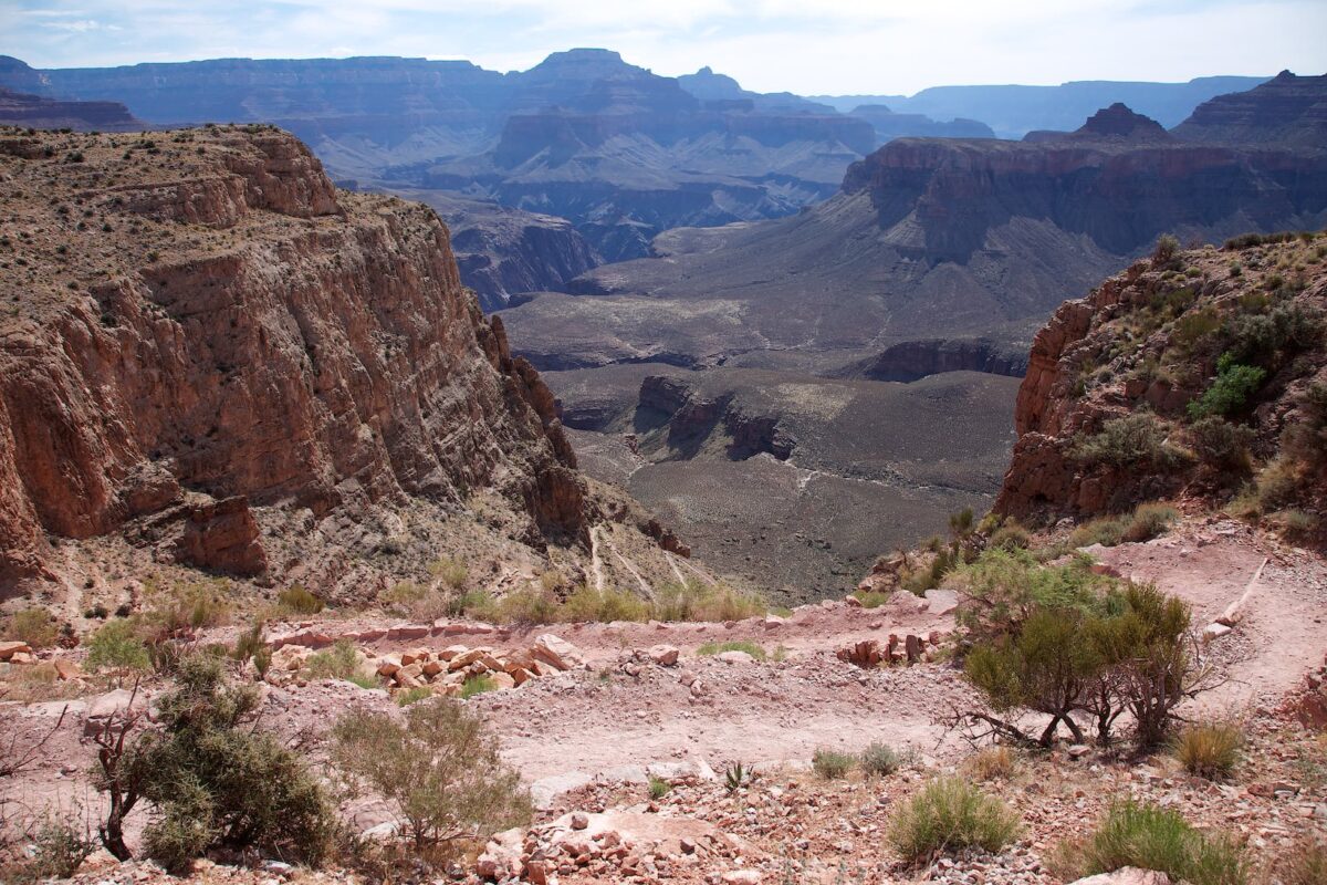
At Cedar Ridge you can take a short break on a larger plateau and enjoy the surroundings in detail. Here is also enough space for a small picnic. We continue to descend into the canyon. The path is not very easy to walk. Especially on steeper parts there are many steps, which are caused by the mulicaravans, which hike up and down here every day. The path is regularly repaired, but we still found it quite exhausting to climb in and out of the many holes. Especially going uphill again, it is quite tiring.
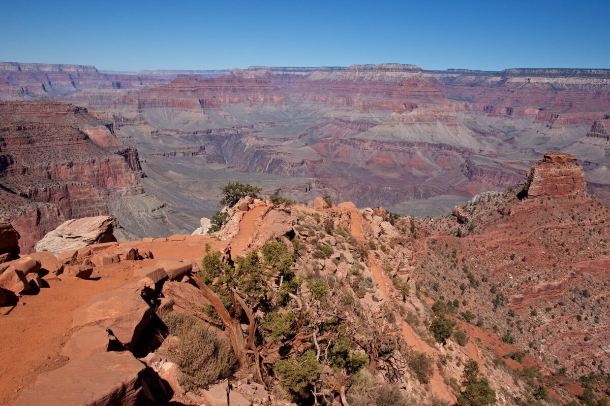
The next stop will be Skeleton Point. This is the turnaround point for a day hike into the canyon. Up to here you have overcome 2041ft of altitude and hiked 3mi.
Cedar Ridge
South Kaibab Trail
View back towards Cedar Ridge
South Kaibab Trail
South Kaibab Trail
South Kaibab Trail
South Kaibab Trail
South Kaibab Trail
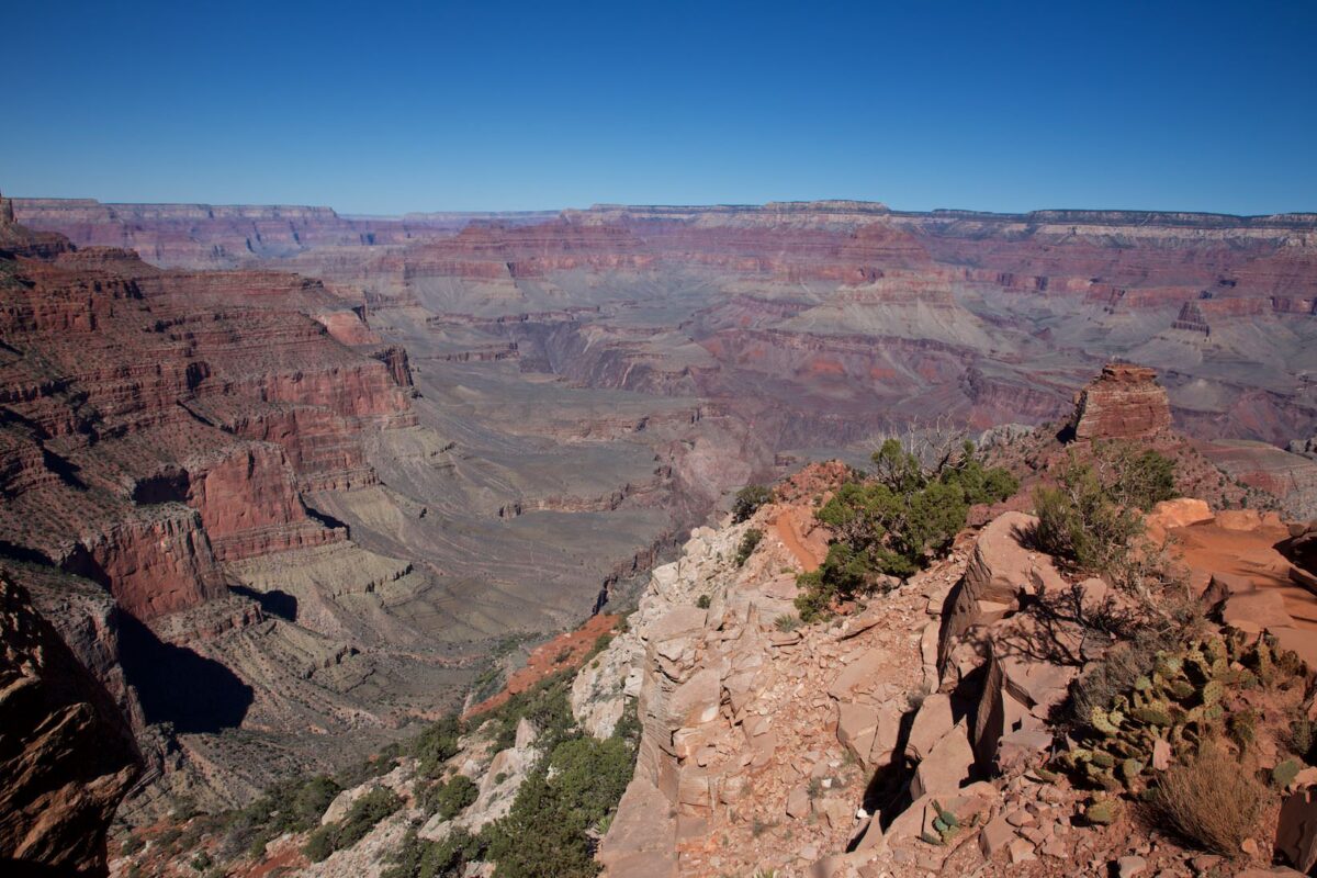
Skeleton Point
View onto Colorado River
Arriving at Skeleton Point, you have the first opportunity to take a look at the Colorado River on this trail. Those who do a day trip usually turn around here and take the same way back to the rim.
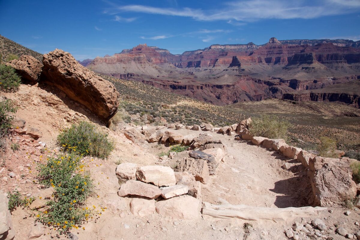
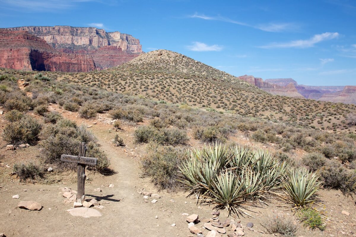
Wer weiter Richtung Phantom Ranch aufbricht hat jetzt nochmal 6.5km und 838 Höhenmeter vor sich. Der Weg führt nun wieder über zahlreiche Switchbacks nach unten. Nach insgesamt 7km erreicht man den Abzweig zum Tonto Trail. Dieser Trail verbindet den South Kaibab Trail mit dem Bright Angels Trail. Der Bright Angels Trail ist ein weiterer Trail über den man, vom Rim aus, hinunter zum Colorado wandern kann. Der Tonto Trail bietet die Möglichkeit einer Rundwanderung, ohne bis zum Colorado hinunter zu wandern. Die Rundwanderung über den Tonto Trail ist allerdings über 20km lang, sollte also auch nur von fitten Menschen als Tageswanderung in Erwägung gezogen werden.
View back towards Cedar Ridge
... Mules and always mules...
South Kaibab Trail
South Kaibab Trail
South Kaibab Trail
South Kaibab Trail
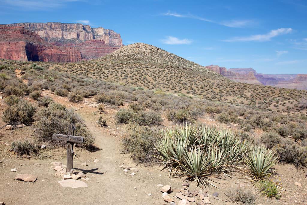
Junction with Tonto Trail
South Kaibab Trail
South Kaibab Trail
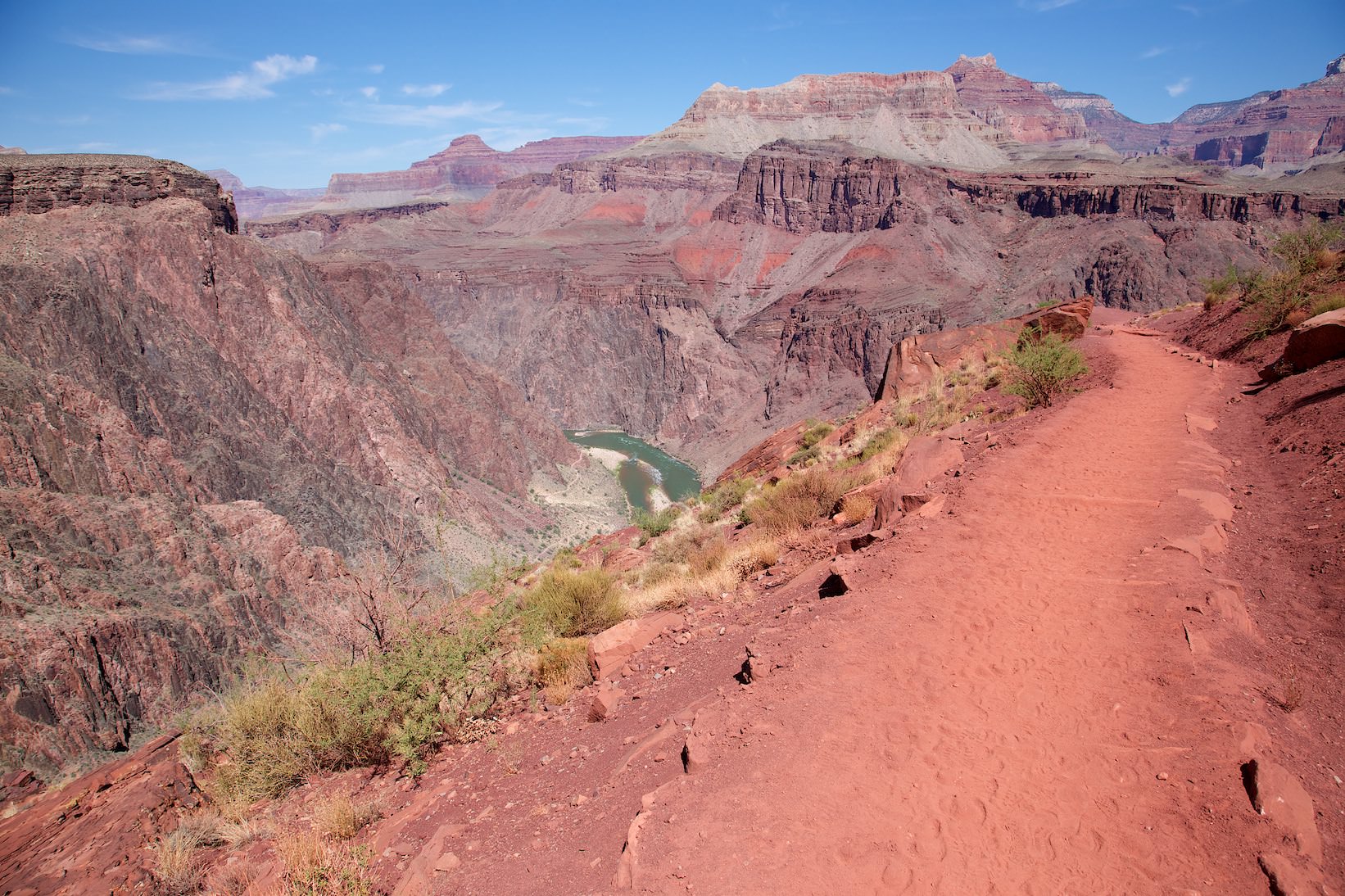
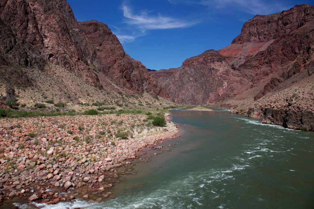
The Colorado River is in sight. Almost there now
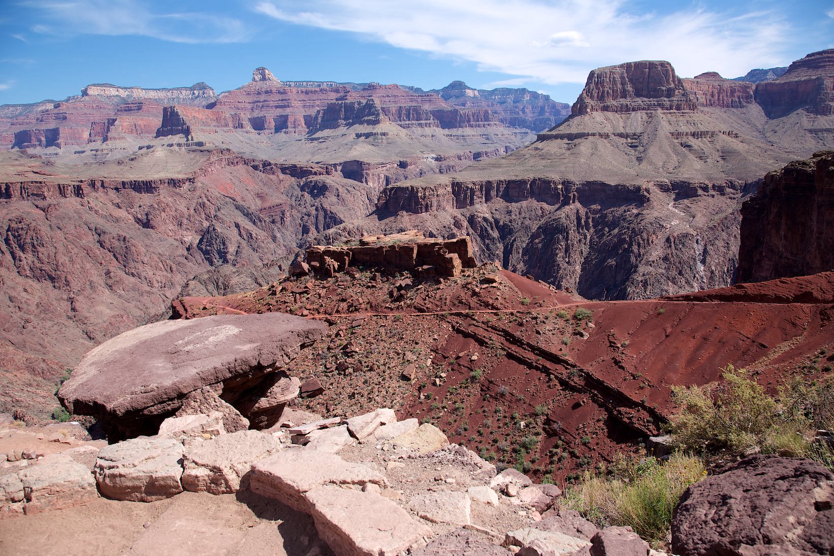
Tipoff
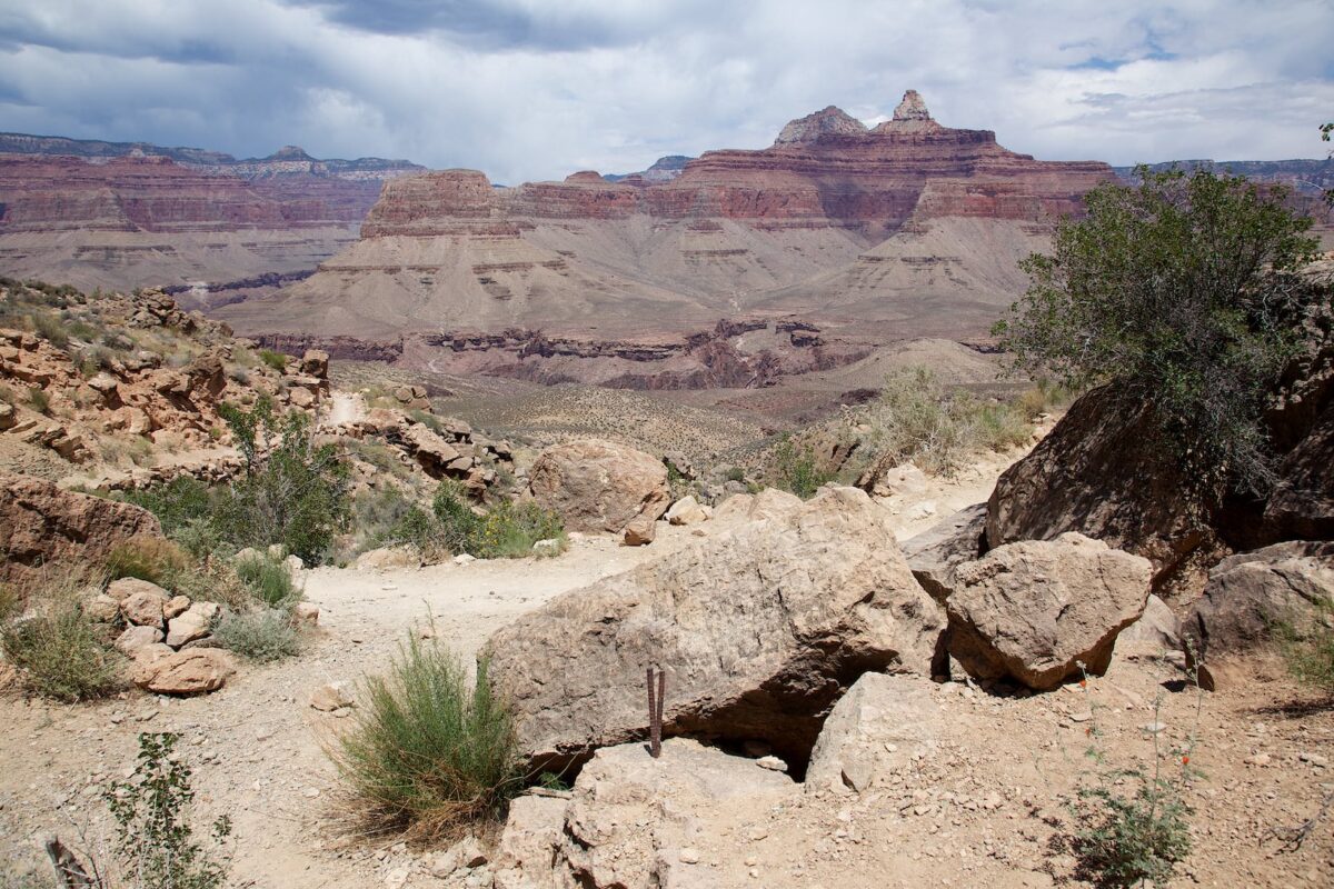
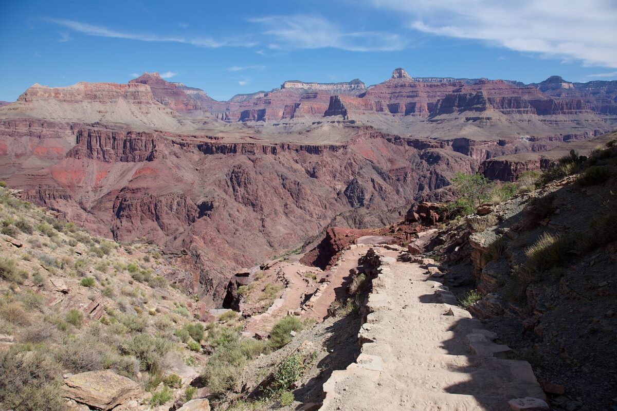
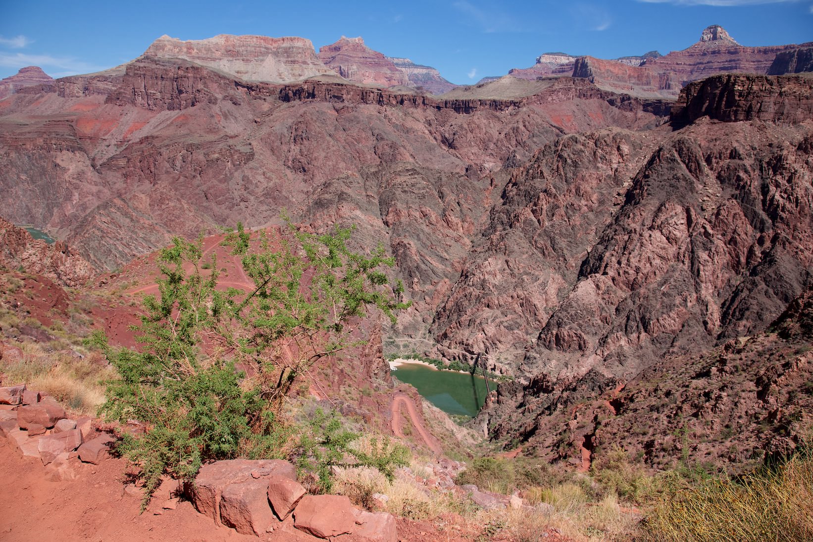
The path winds further down to the Colorado River. You reach the tipoff and from now on you have great views of the river. On the entire trail down you also literally have the entire history of the earth under your feet. Even without geological knowledge, you'll notice the different colored rock layers that constantly alternate on the way down. For those interested in these different rocks and the geological structure of the Grand Canyon, the Trail of Time is highly recommended.
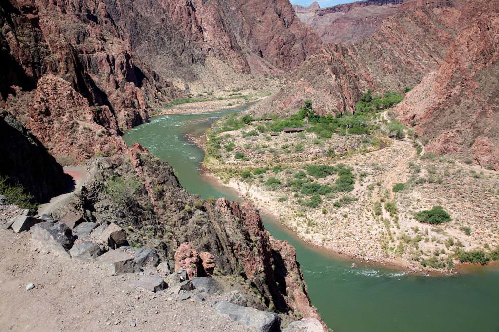
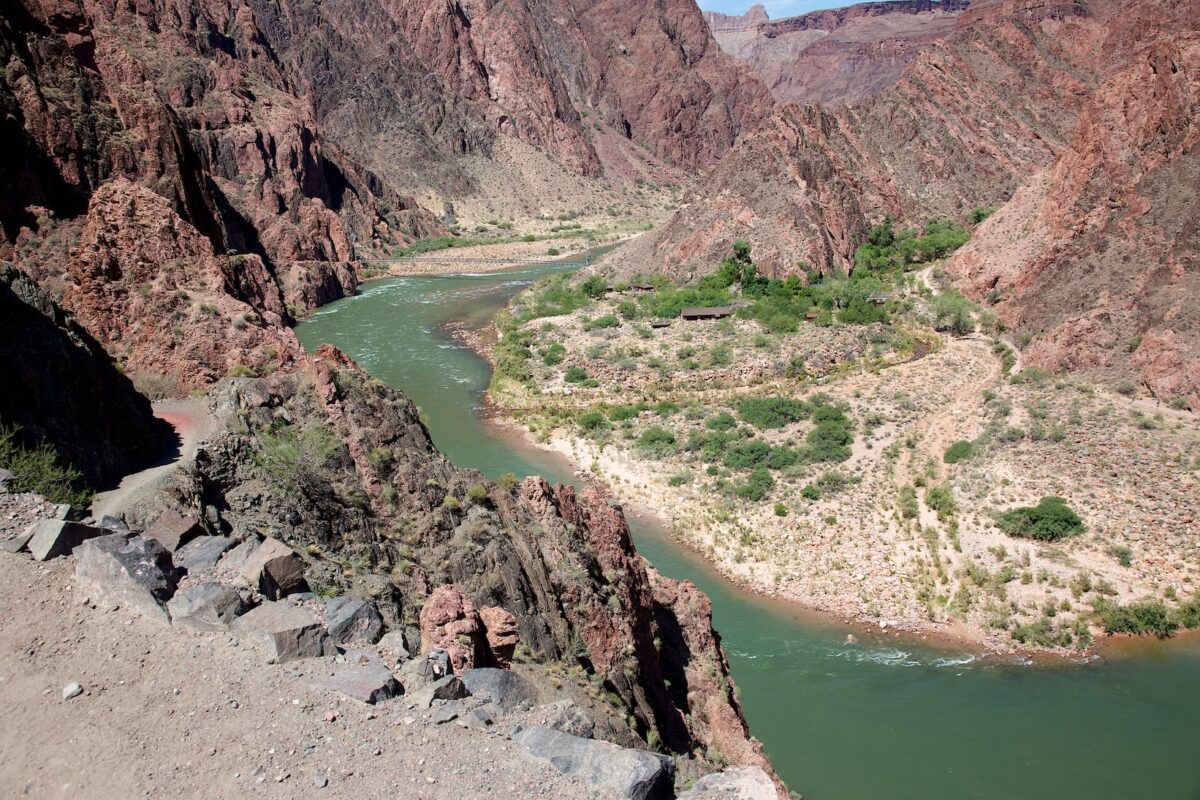
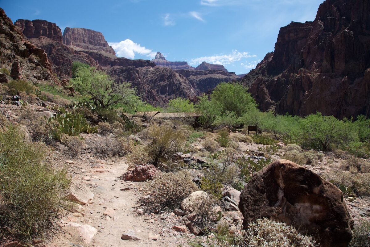
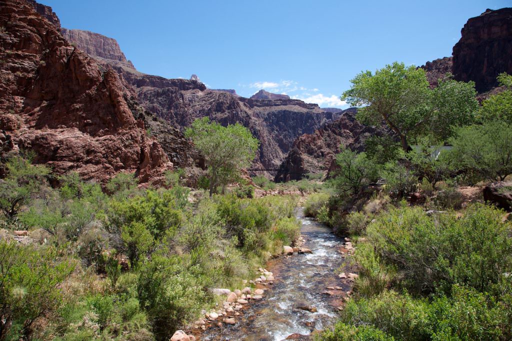
The path winds further and further down and you get closer and closer to the river until you have finished the trail after 7mi and 4790ft of altitude. You have reached the Phantom Ranch.
Our rating: A hike that is on many people's to do list. Hike down into the Grand Canyon once and see the Colorado. The hike is great and offers everything you could want. The views are breathtaking and we feel you habe to hike into the canyon, to be able to understand the dimensions of the canyon. The views are gigantic from the Rim as well, but it's not until you hike one of the trails that you begin to get a sense of just how gigantic this canyon really is. No matter how far down you hike, this will be an unforgettable experience. Simply awesome.
☆☆☆☆☆Bewertet mit 5 von 5
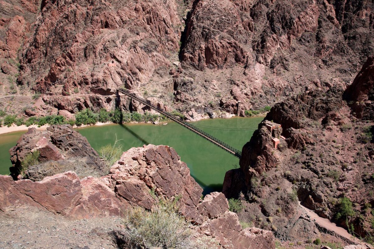
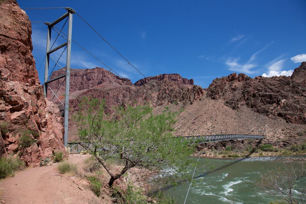
Black Suspension Bridge
South Kaibab Trail
South Kaibab Trail
South Kaibab Trail
Silver Bridge
South Kaibab Trail
South Kaibab Trail
The Phantom Ranch down at the Colorado River
South Kaibab Trail
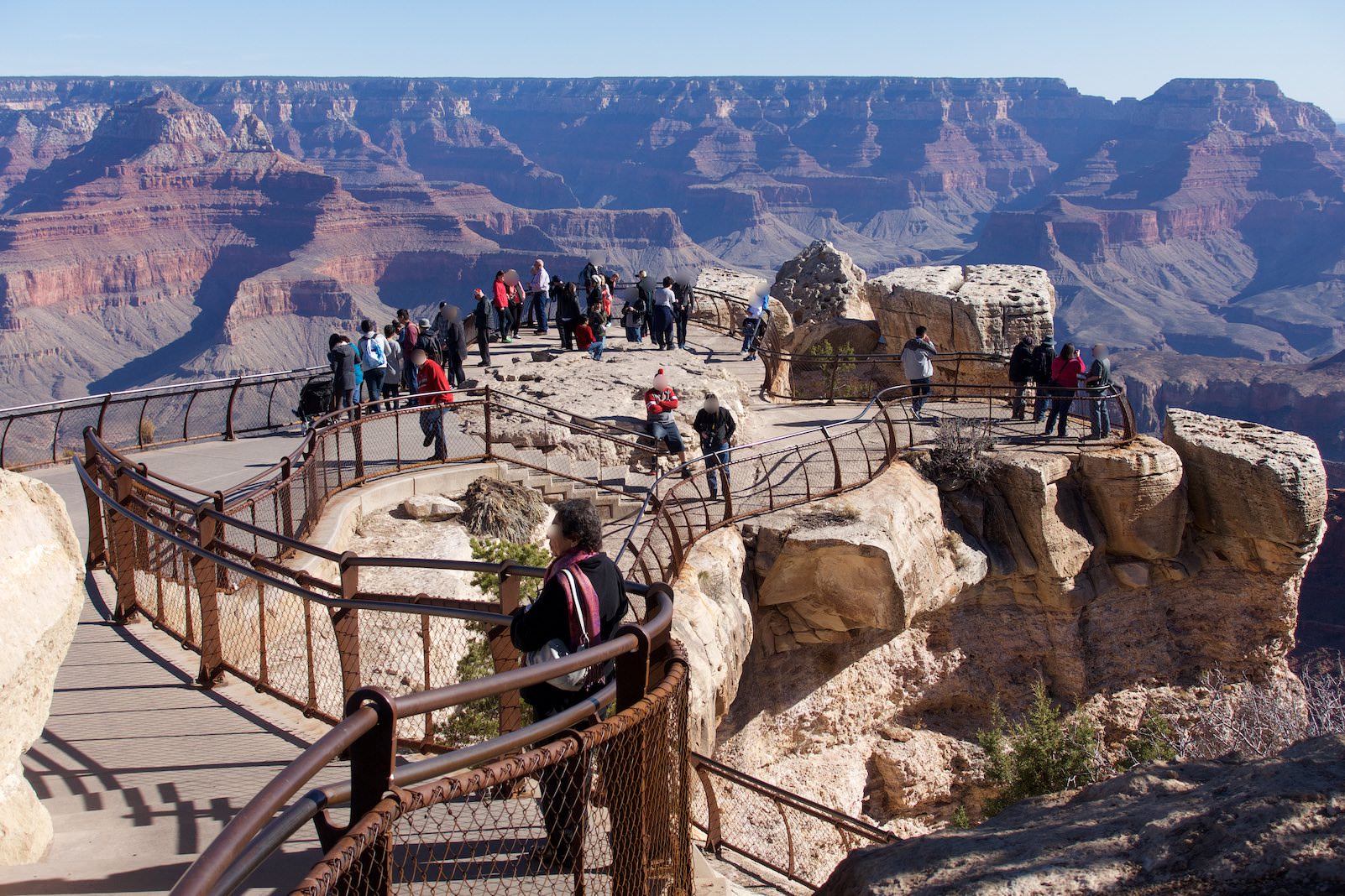
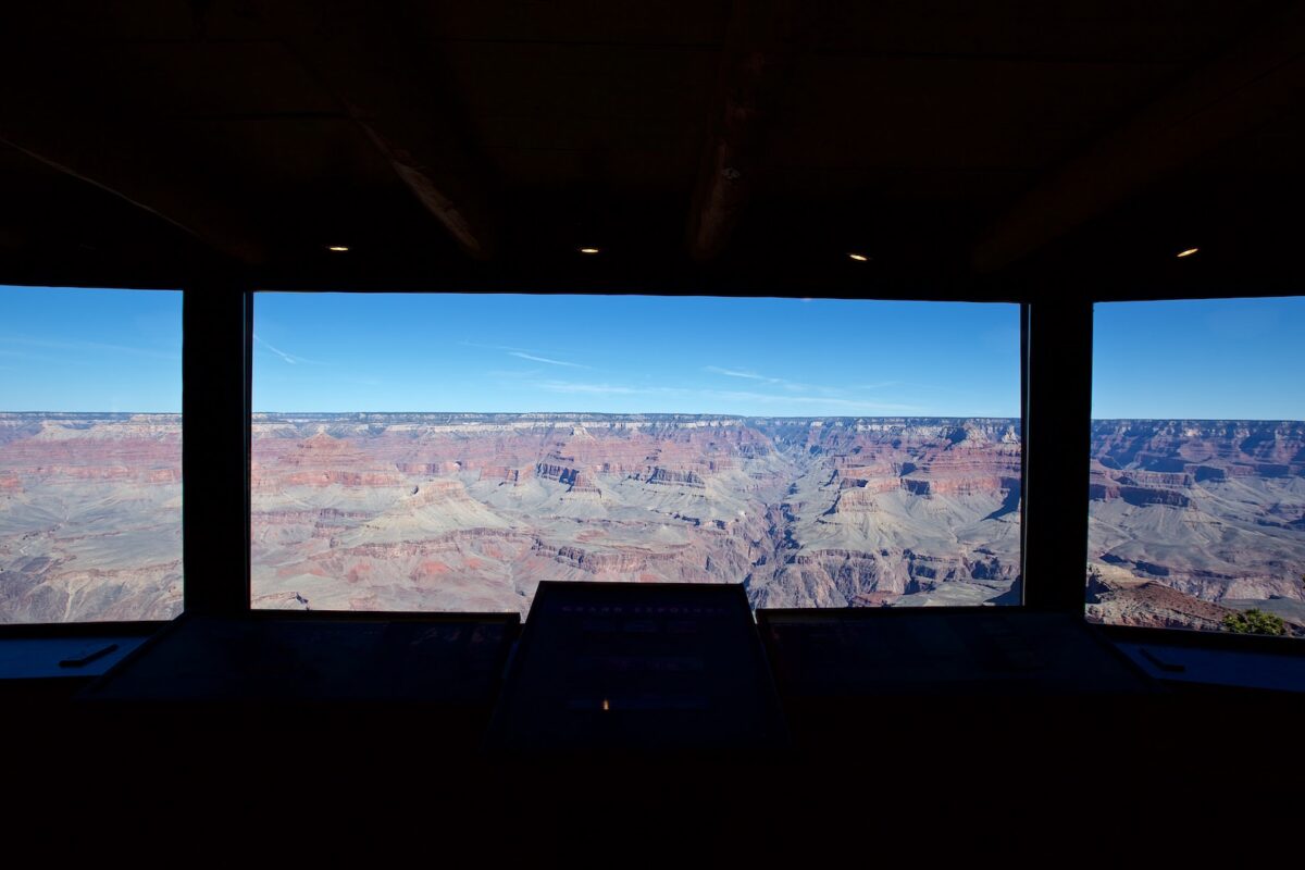
View from Mather Point
Mather Point
Description: Mather Point is probably the most famous viewpoint at the Grand Canyon. It is located directly behind the Visitor Center and is therefore usually always well populated.
Our rating: Except for the many people who are here pretty much all the time, this is a really great viewpoint. If you visit the Grand Canyon, you should have a look into the depths here.
☆☆☆☆☆Bewertet mit 4 von 5
At Mather Point you are not alone
Startingpoint
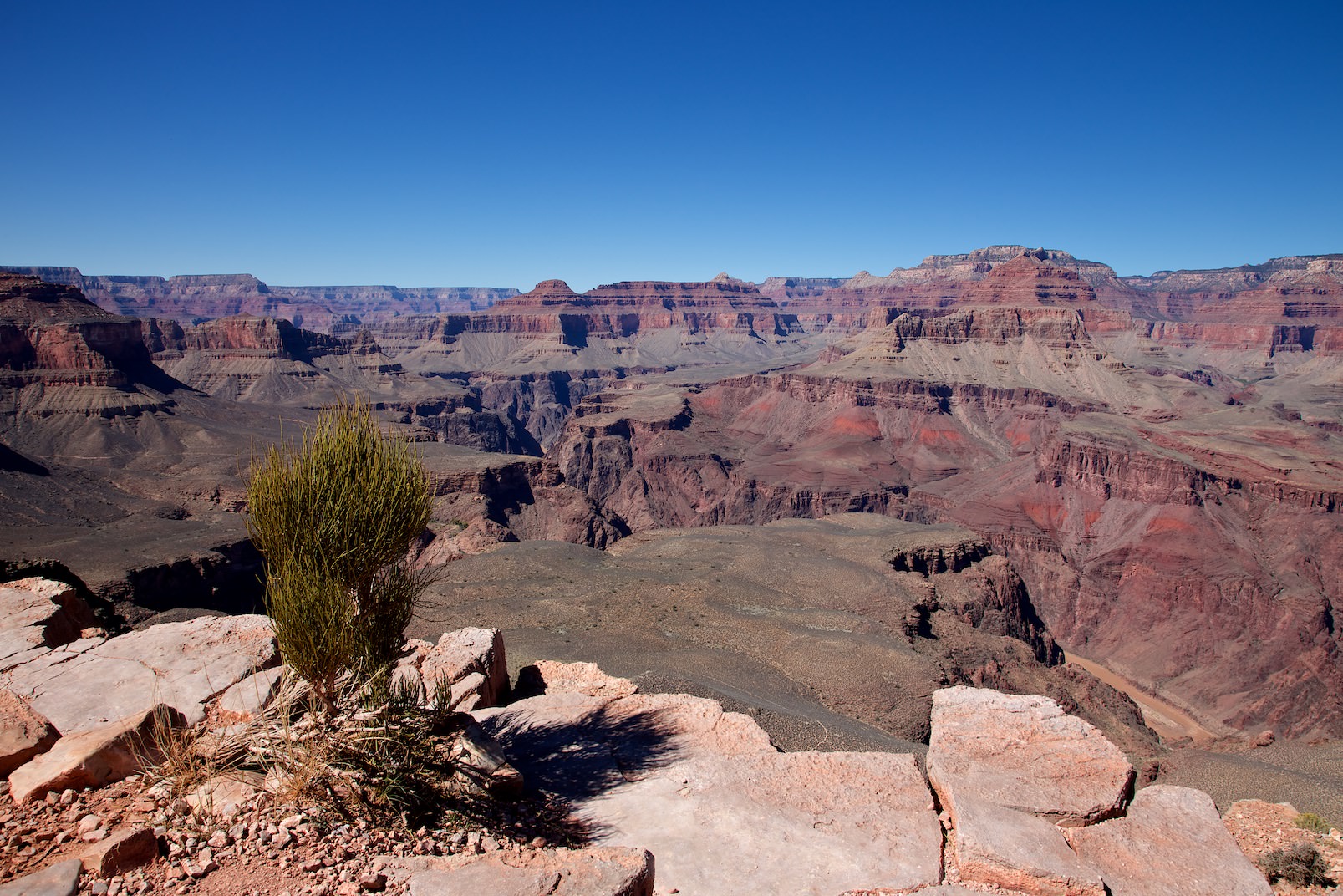
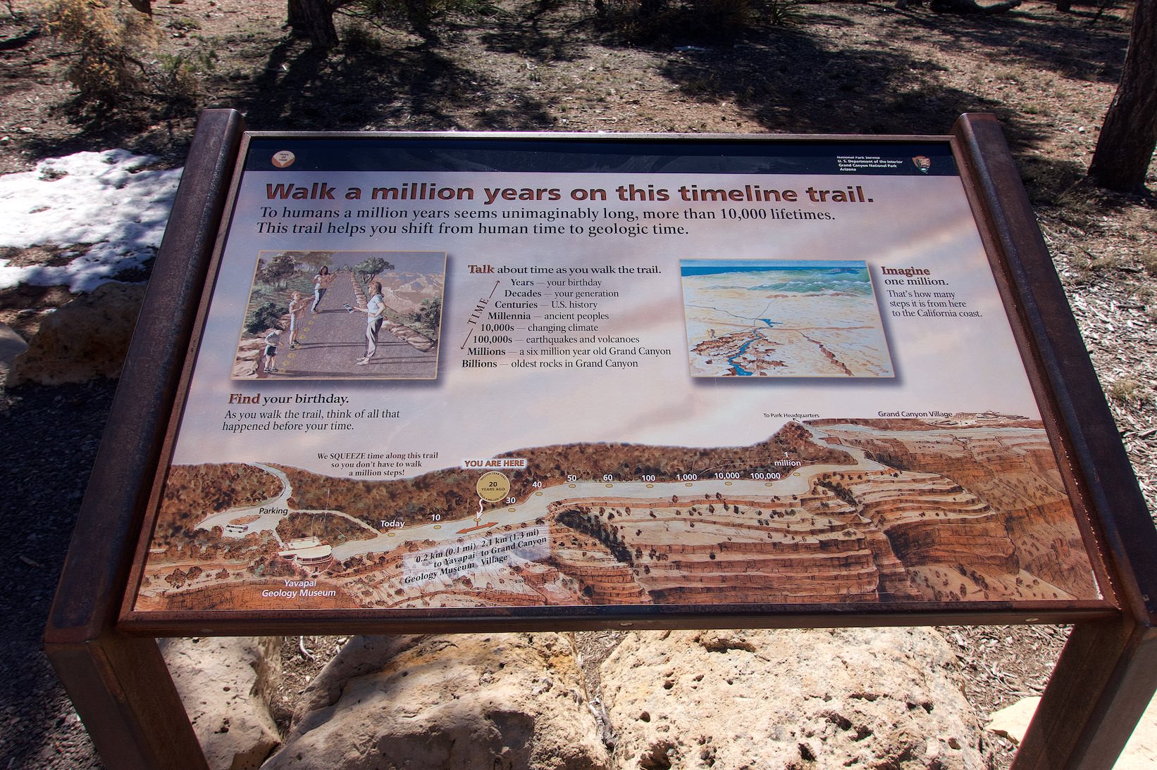
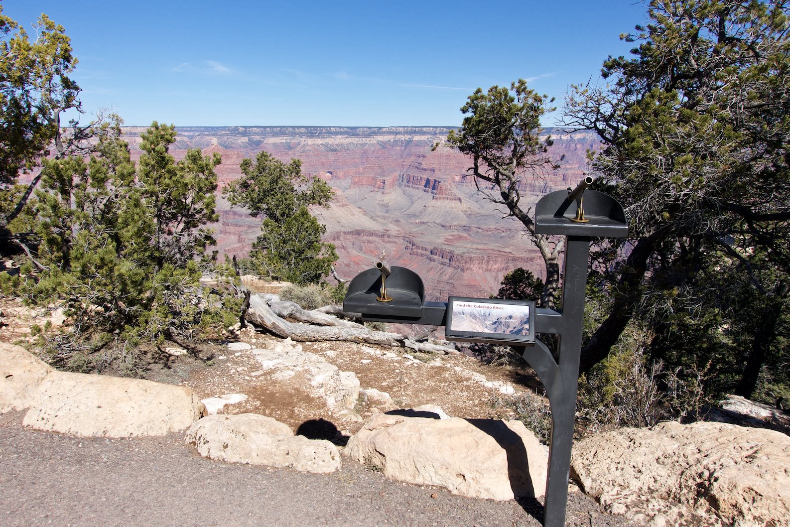
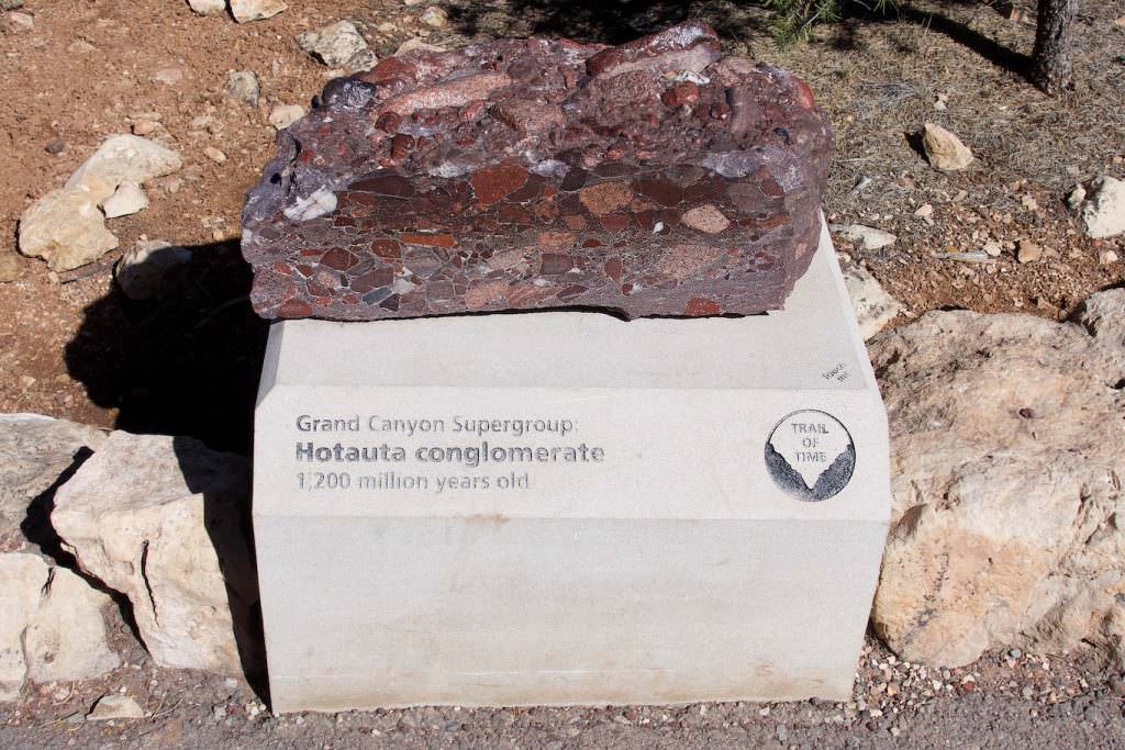
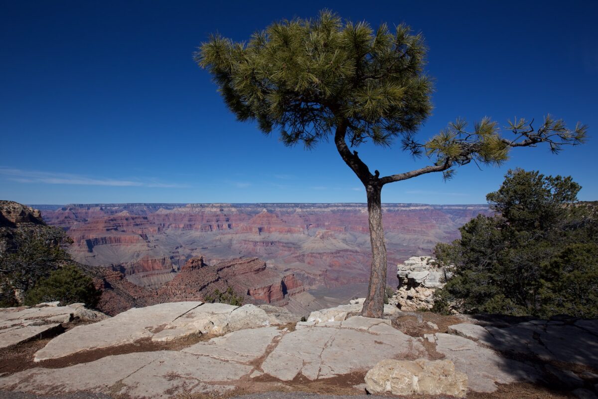
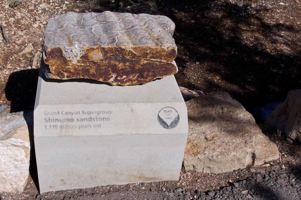
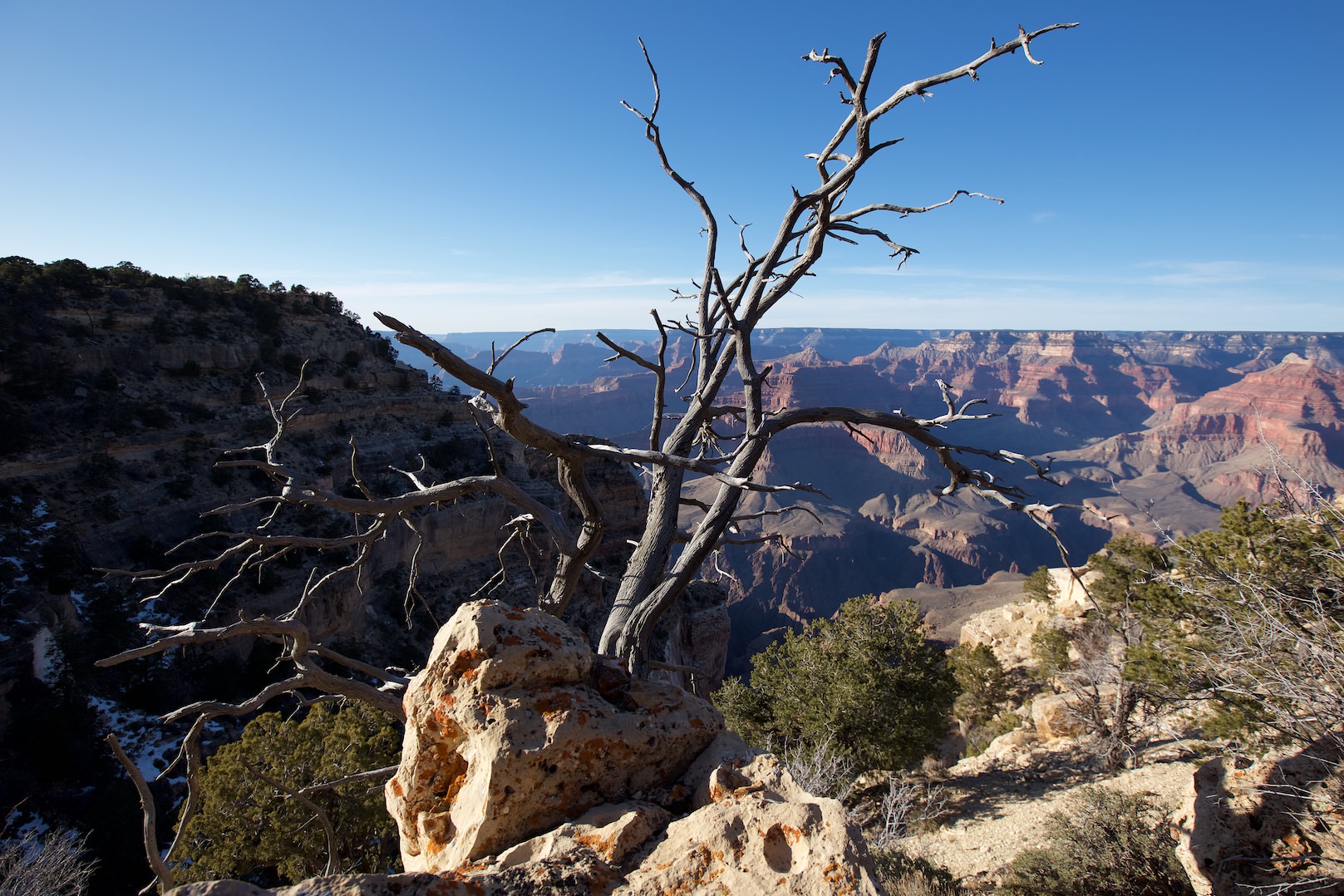
Trail of Time
Description: The Trail of Time is a short walk through the geological history of the Grand Canyon. You hike back 1 million years in the earth's history and can discover all kinds of interesting things. There are lots of interpretive panels. Since the trail runs along the Rim of the Grand Canyon, there are also breathtaking views. The trail leads from the Yavapai Geology Museum to the Grand Canyon Village. Depending in which direction you hike, you can hike backwards or forwards in time.
Our rating:Very interesting for anyone interested in geology and the formation of the Grand Canyon. The little walk is worth a visit.
☆☆☆☆☆Bewertet mit 3.5 von 5
Information boards along the way explain everything worth knowing
Trail of Time
Trail of Time
Trail of Time
Yavapai Museum
Trail of Time
Trail of Time
Trail of Time
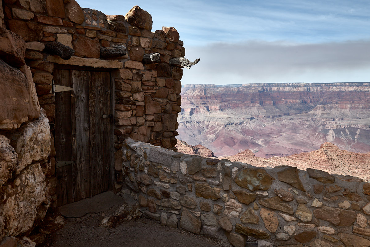
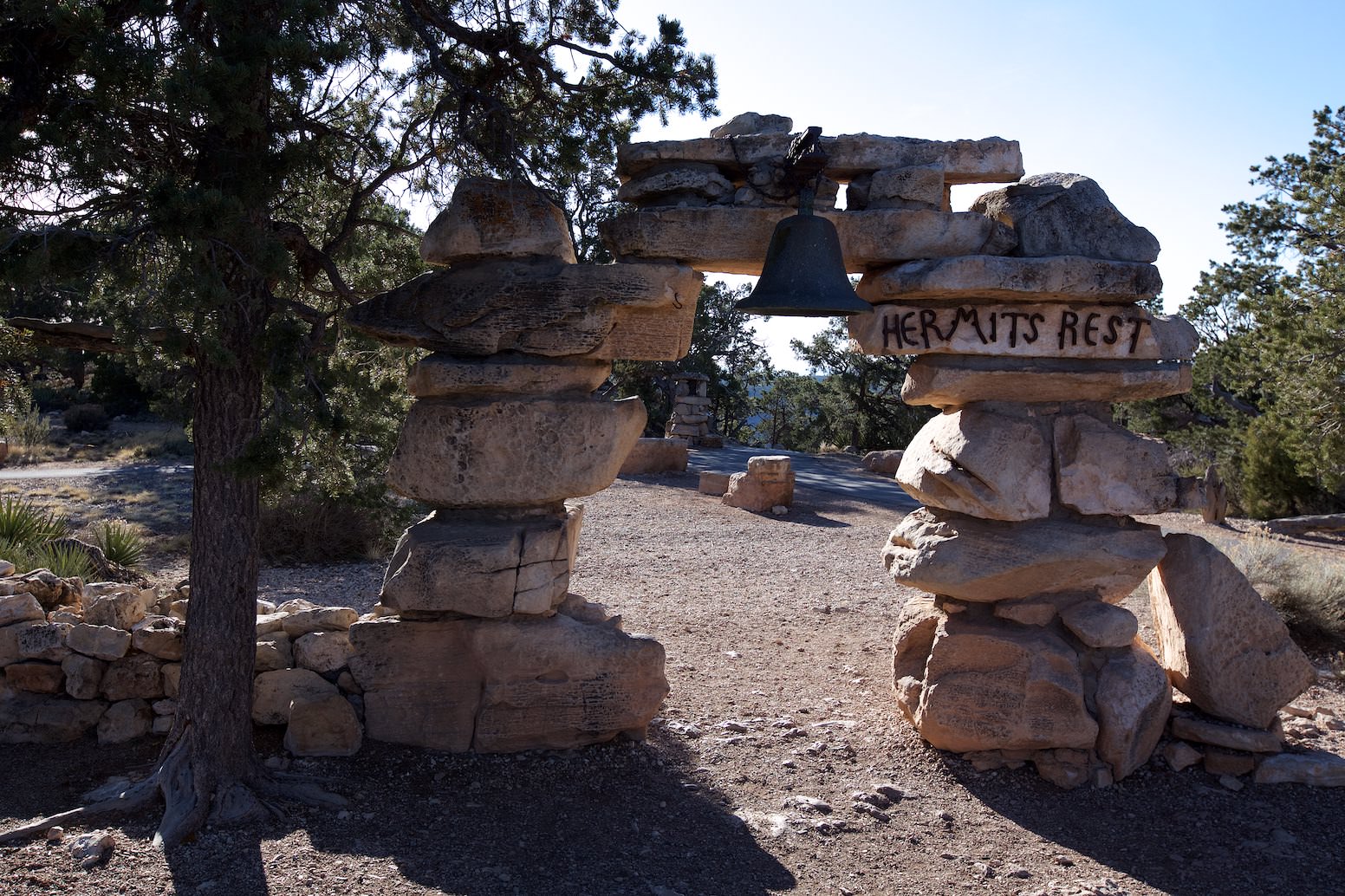
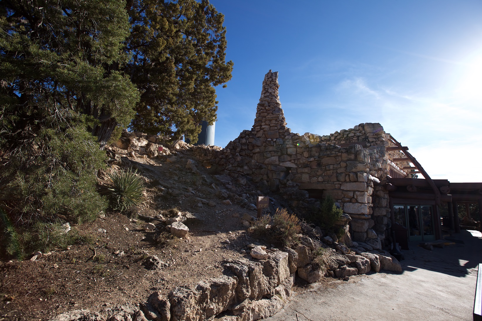
Hermits Rest
Hermits Rest
Description: The western part of the national park, the Hermits Rest Road, is closed to private cars most of the year. Only in the winter months you can drive your own car on the road. The rest of the year you have to rely on the shuttle bus. At the end of the road is the Hermits Rest House. It was built in 1914 and offers hikers a place to rest while hiking along the Grand Canyon. The entire West Rim to the Hermits Rest House can also be hiked.
Our rating:The Grand Canyon offers plenty of breathtaking viewpoints. This is no different here. From our point of view, the way here is worthwhile in any case.
☆☆☆☆☆Bewertet mit 4 von 5
Hermits Rest House
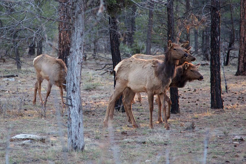
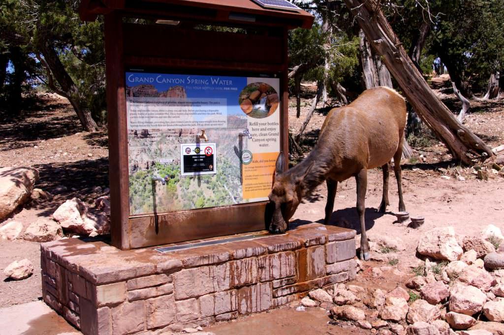
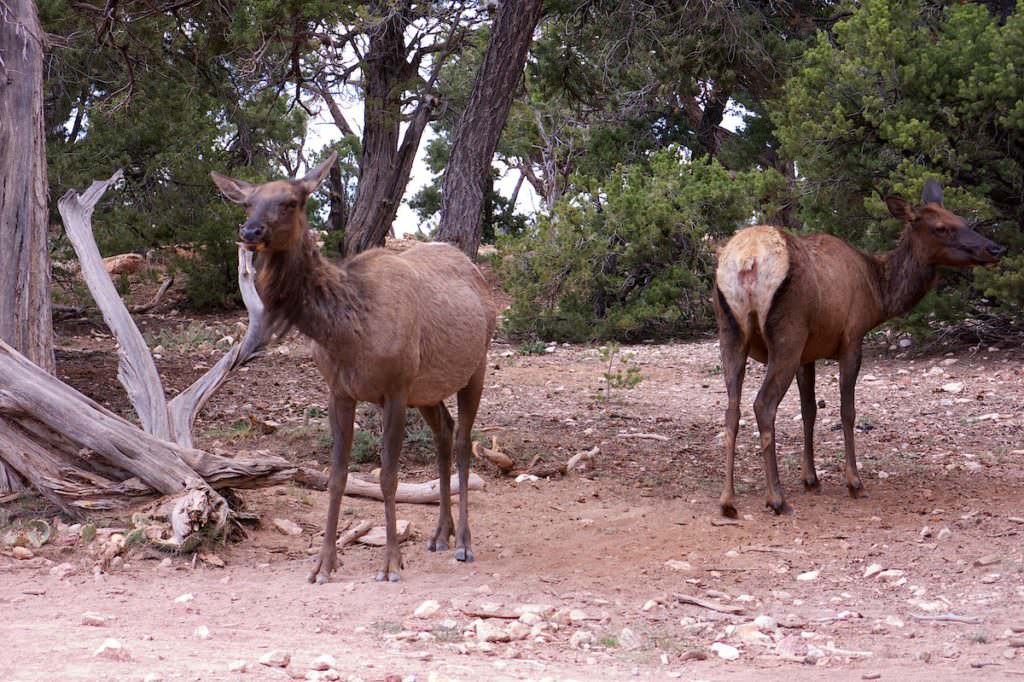
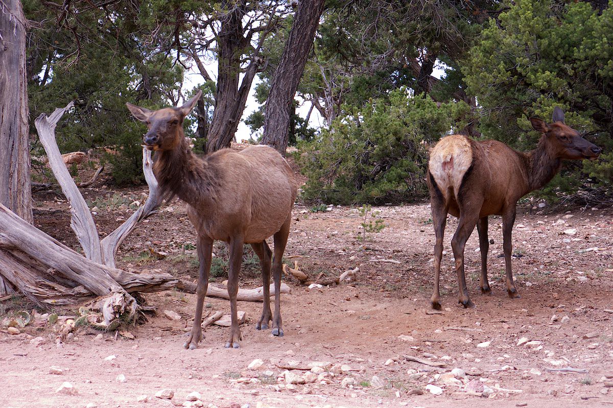
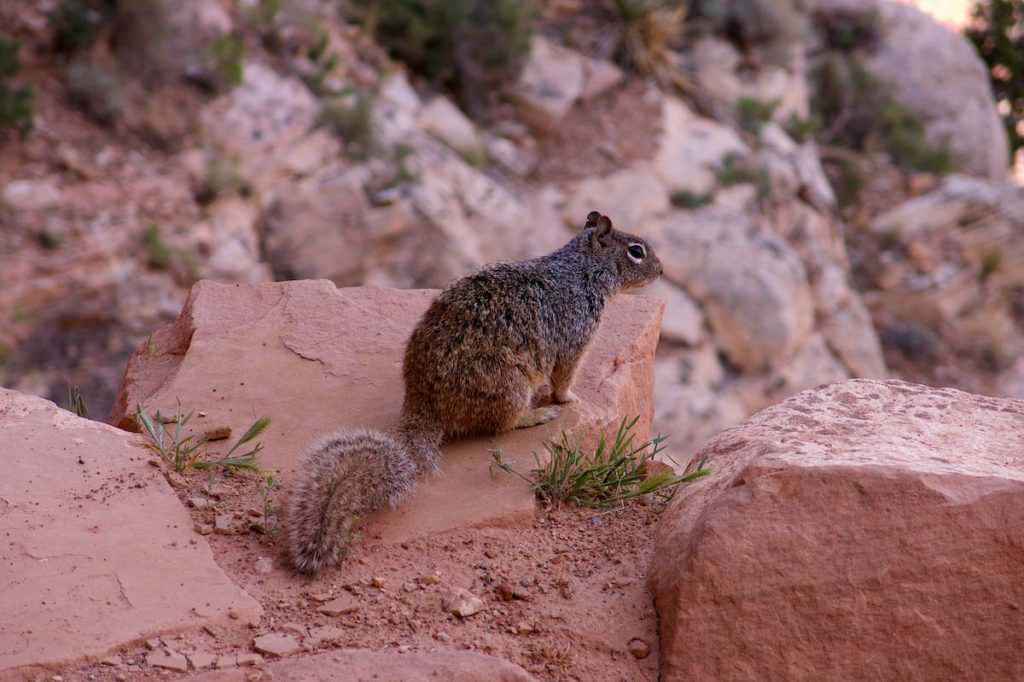
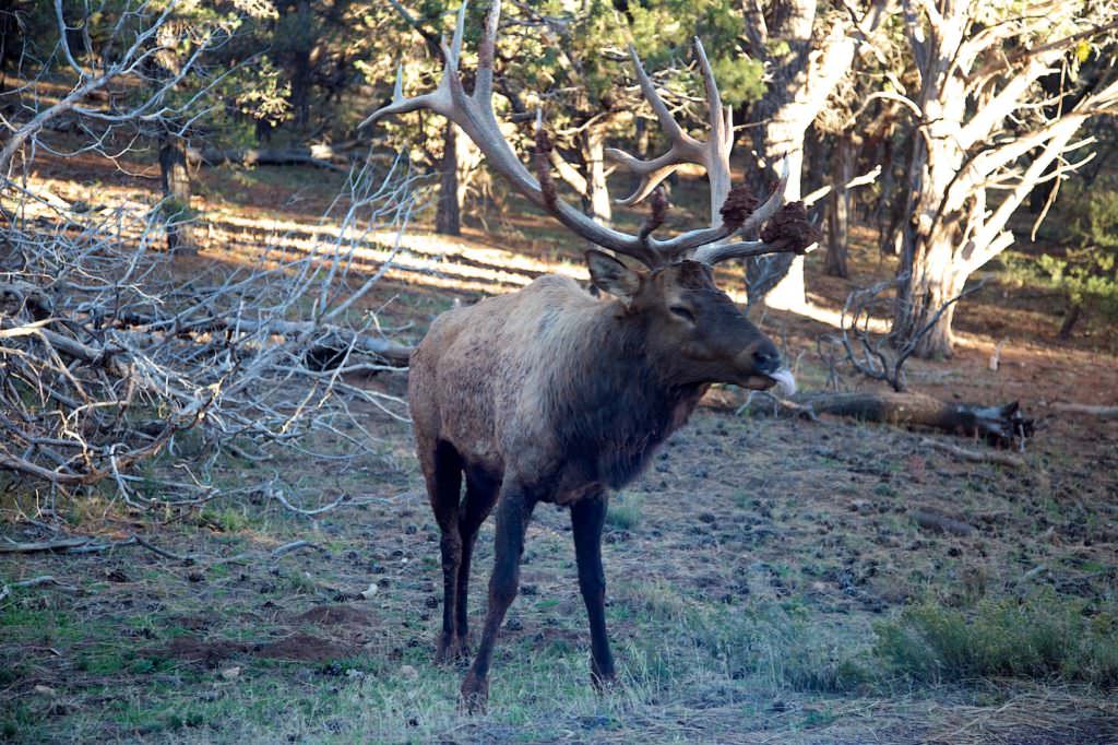
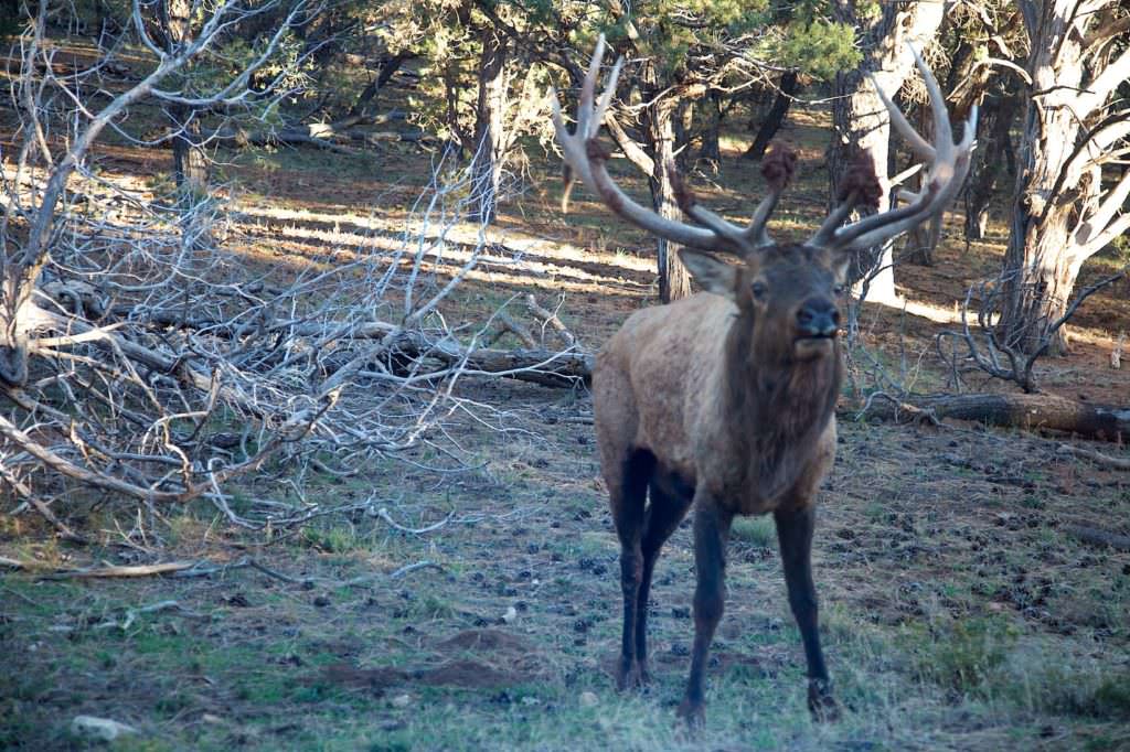
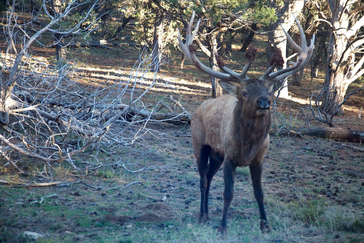
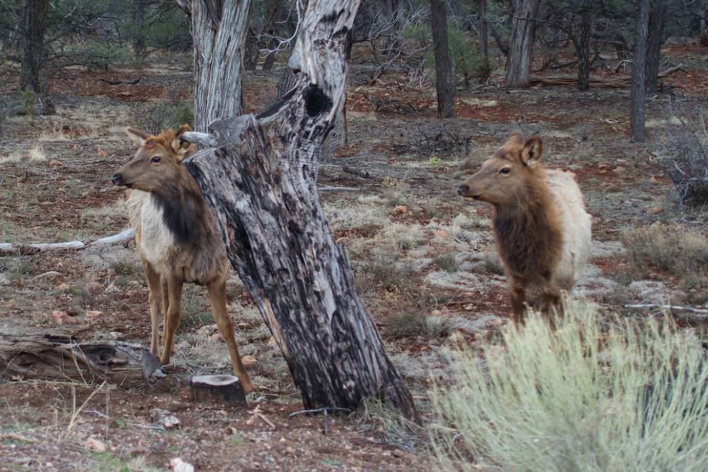
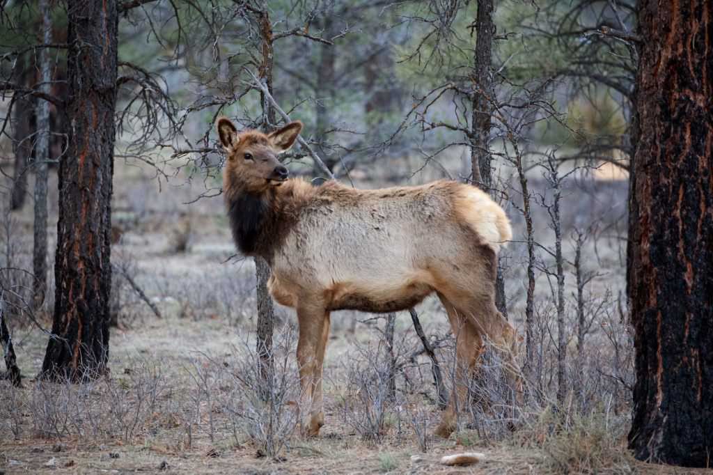
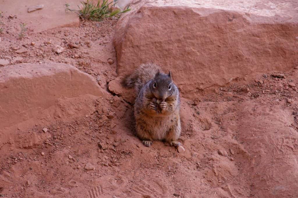
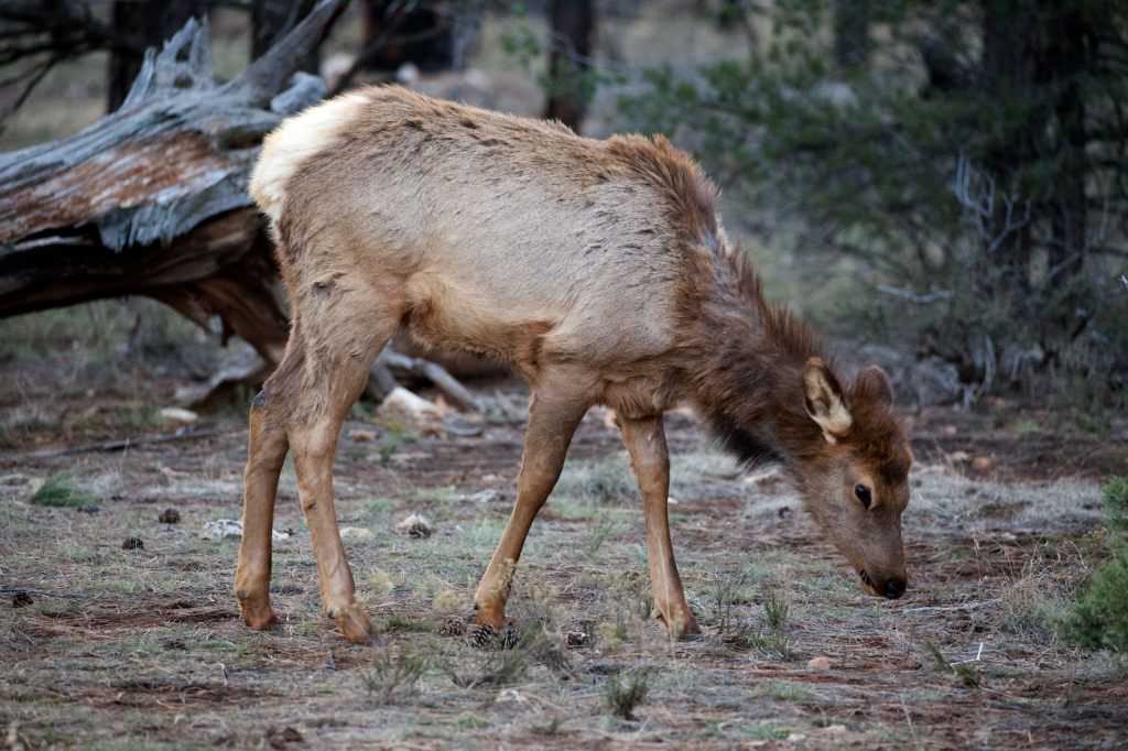
An important and always very fun part are the animals that you can observe in their natural habitat, especially in the national parks. Here at the Grand Canyon NP we were able to spot the animals shown below.
Grand Canyon NP South Rim
Elk - Cervus Elaphus - seen at the trailhead to the South Kaibab Trail.
Grand Canyon NP South Rim
Elk - Cervus Elaphus - seen at the trailhead to the South Kaibab Trail.
Grand Canyon NP South Rim
Rock Squirrel - Spermophilus Variegatus - seen at the South Kaibab Trail
Grand Canyon NP South Rim
Elk - Cervus Elaphus - seen at the park exit towards Tusayan
Grand Canyon NP South Rim
Elk - Cervus Elaphus - seen at the park exit towards Tusayan
Grand Canyon NP South Rim
Elk - Cervus Elaphus - seen at the park exit towards Tusayan
Grand Canyon NP South Rim
Elk - Cervus Elaphus - seen at the park exit towards Tusayan
Grand Canyon NP South Rim
Rock Squirrel - Spermophilus Variegatus - seen at the South Kaibab Trail
Grand Canyon NP South Rim
Elk - Cervus Elaphus - seen at the park exit towards Tusayan
Grand Canyon NP South Rim
Elk - Cervus Elaphus - seen at the park exit towards Tusayan


