*The Anual Pass is so to speak the "flat rate" for all Parks managed by the National Park Service. The pass costs a one-time fee of $80 and can be purchased at the entrance to each National Park, National Monument, etc. The pass is valid for 13 months.
Here are the GPX files of our hike to Crazy Hill and Fire Wave
Our visits: So far 2 Besuche im Mai 2013 und Februar 2016
On the trail
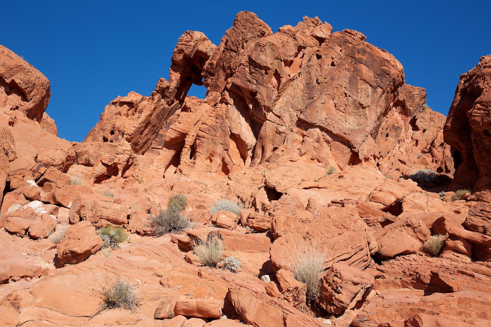
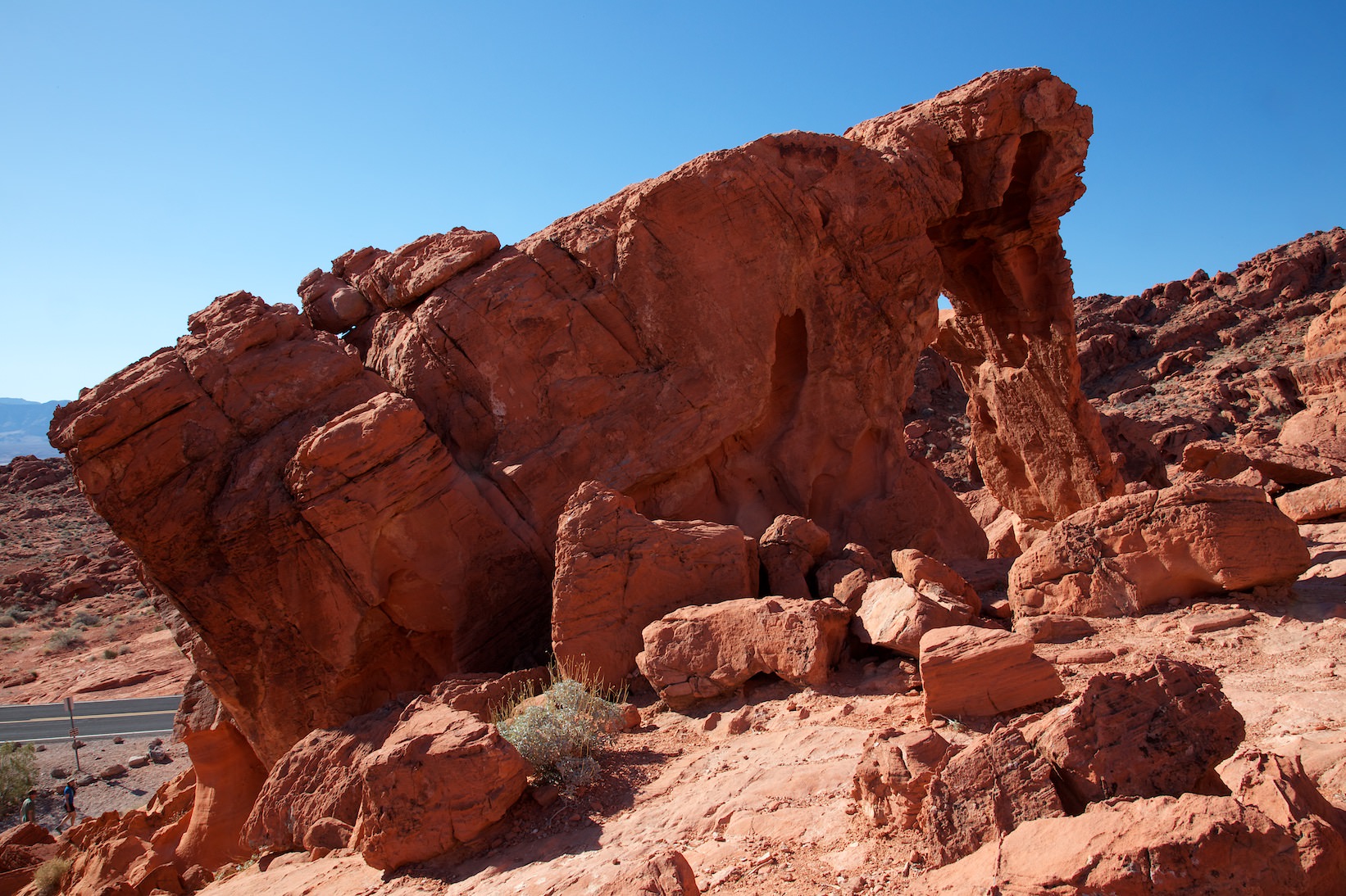
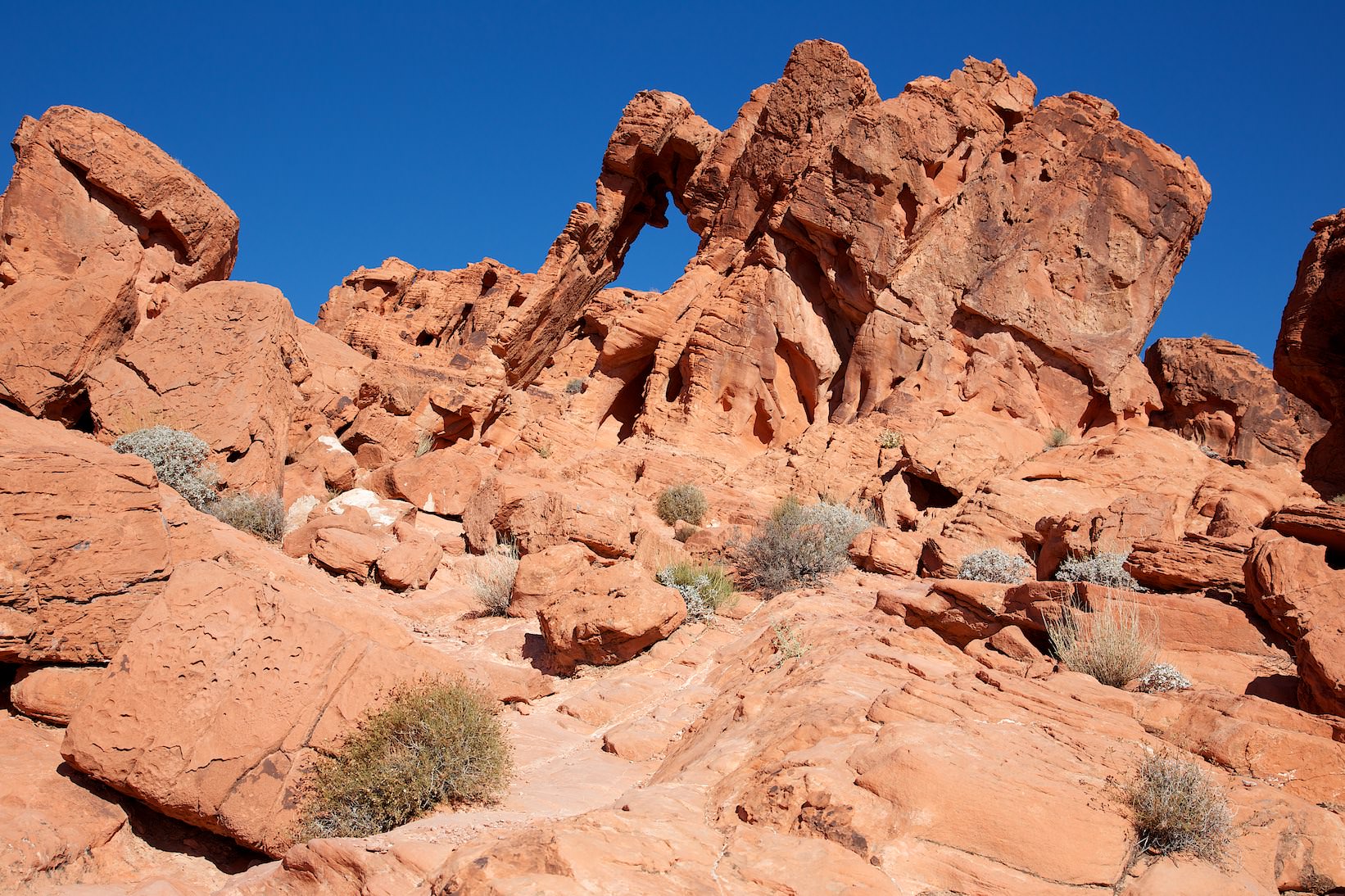
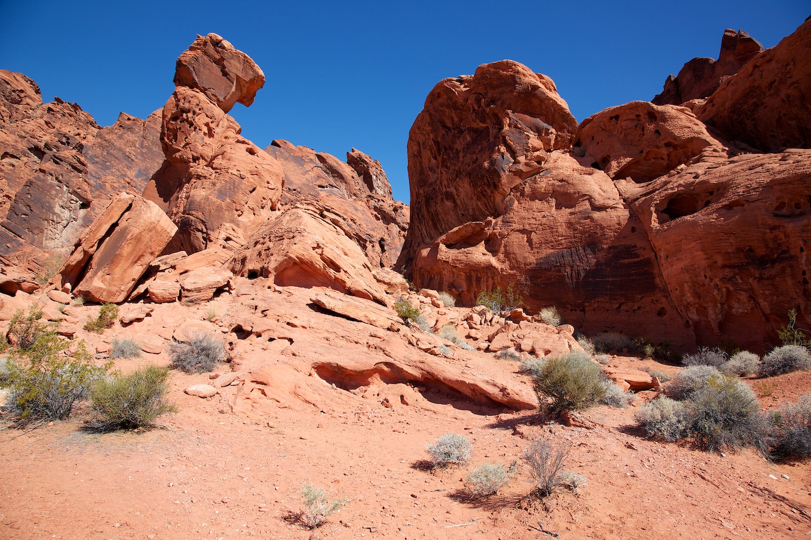
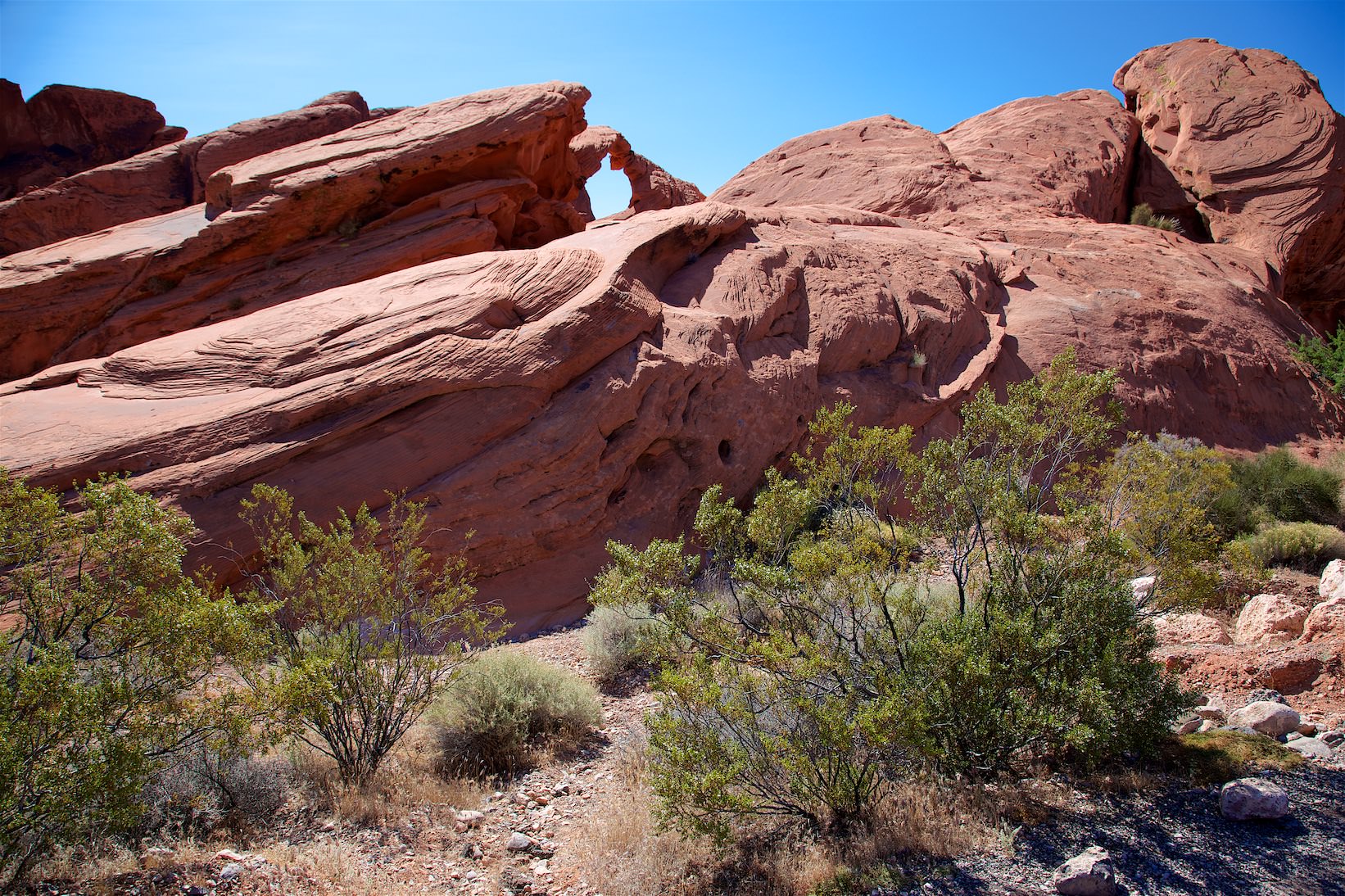
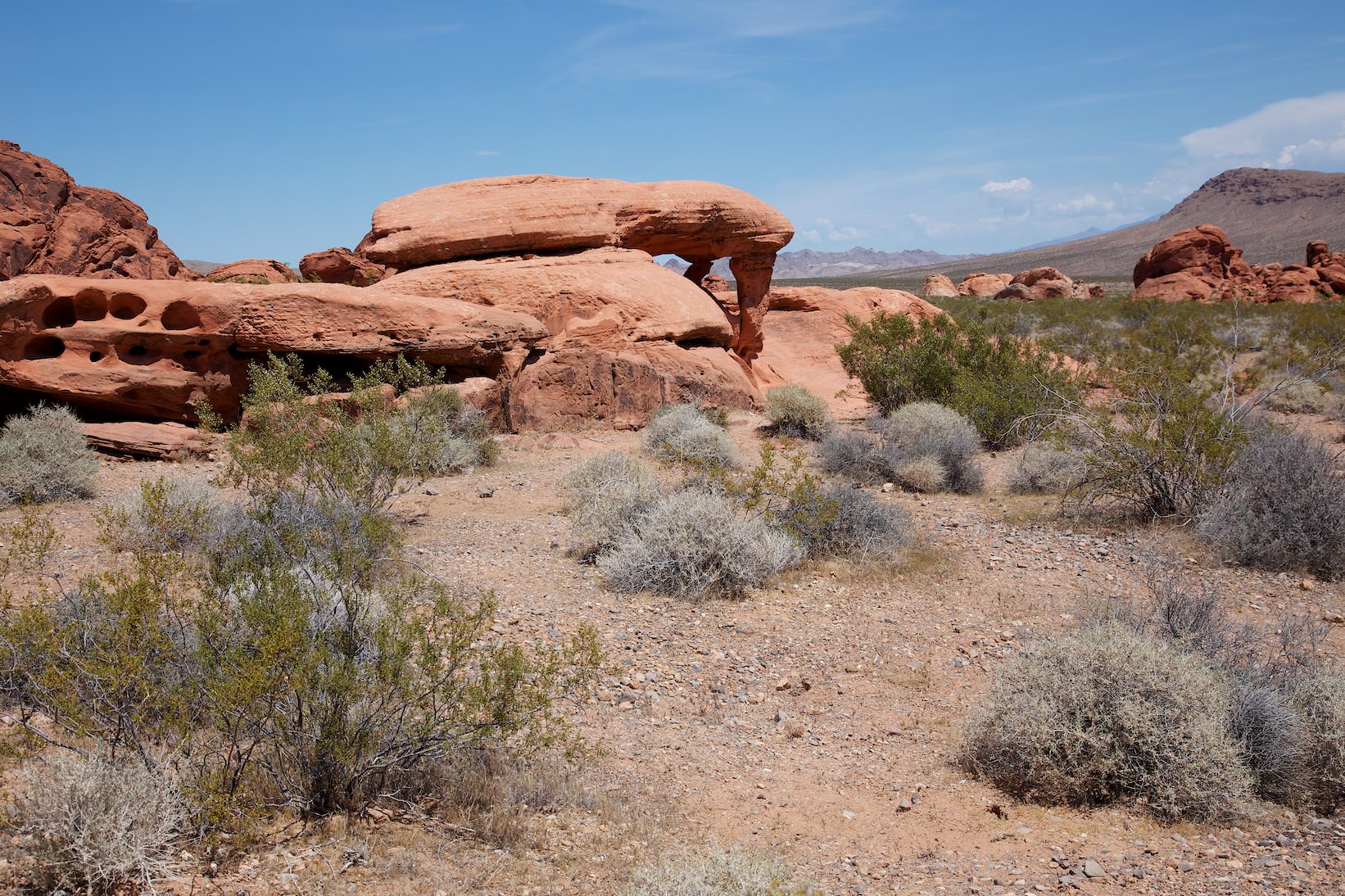
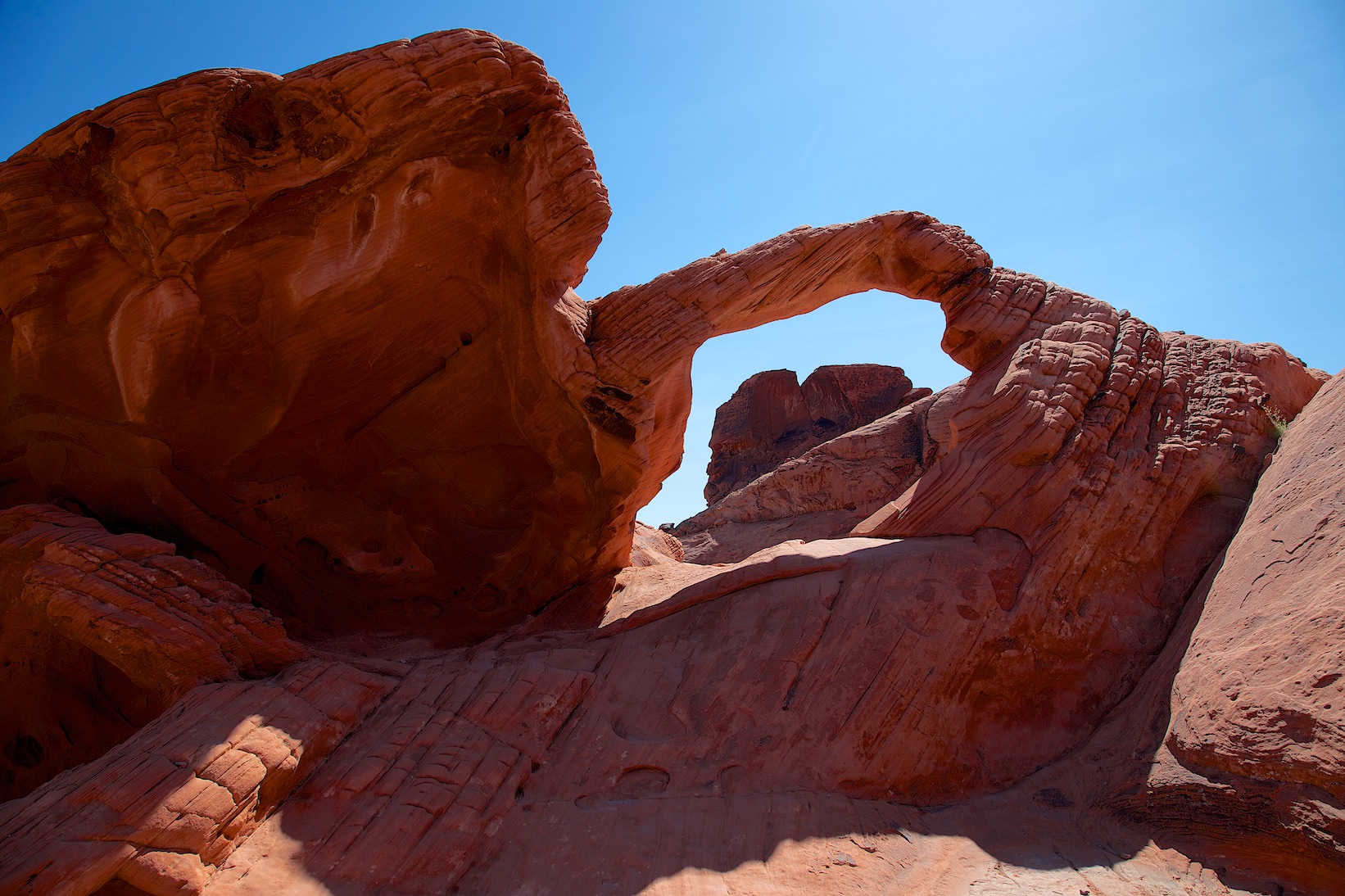
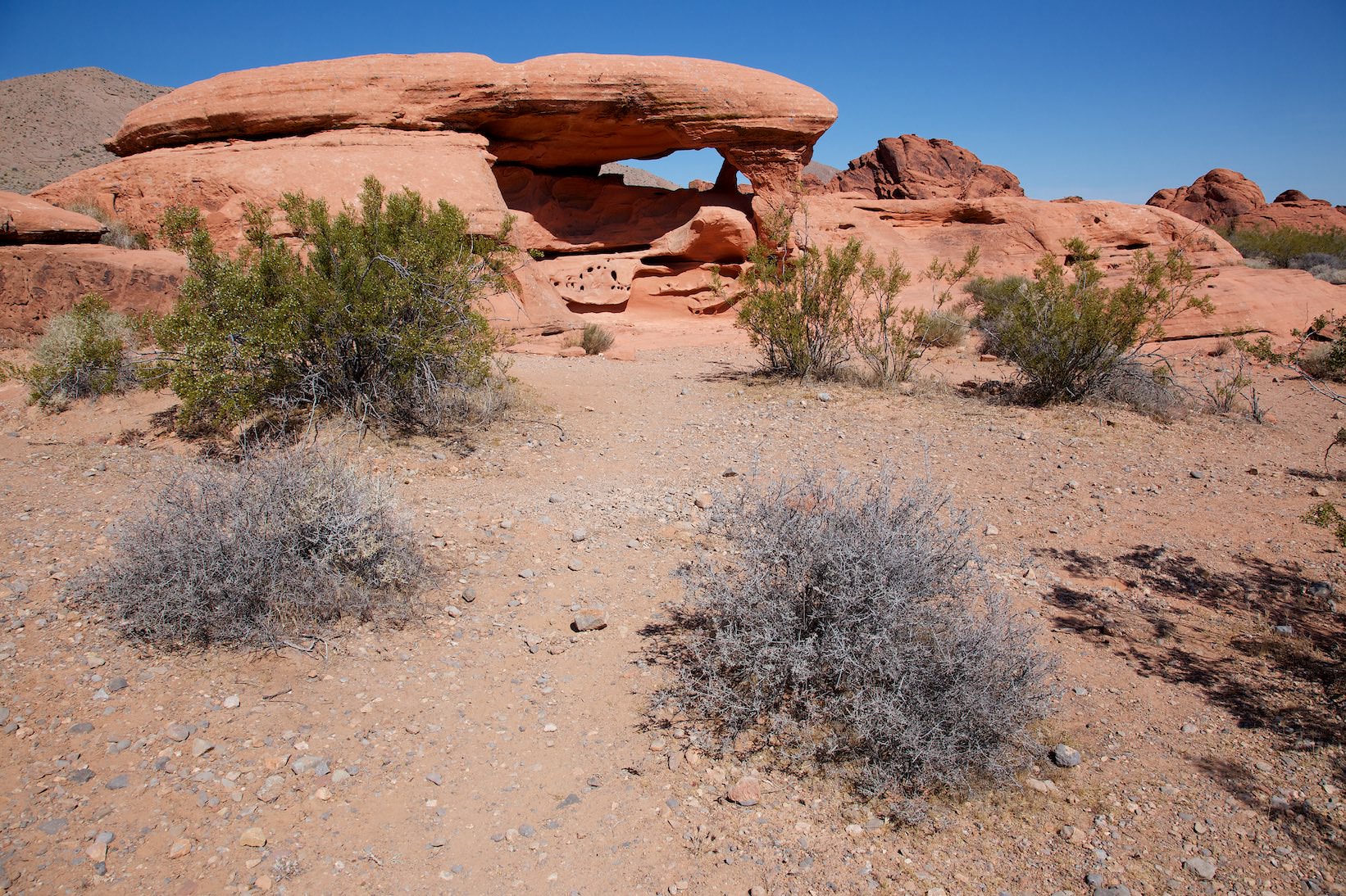
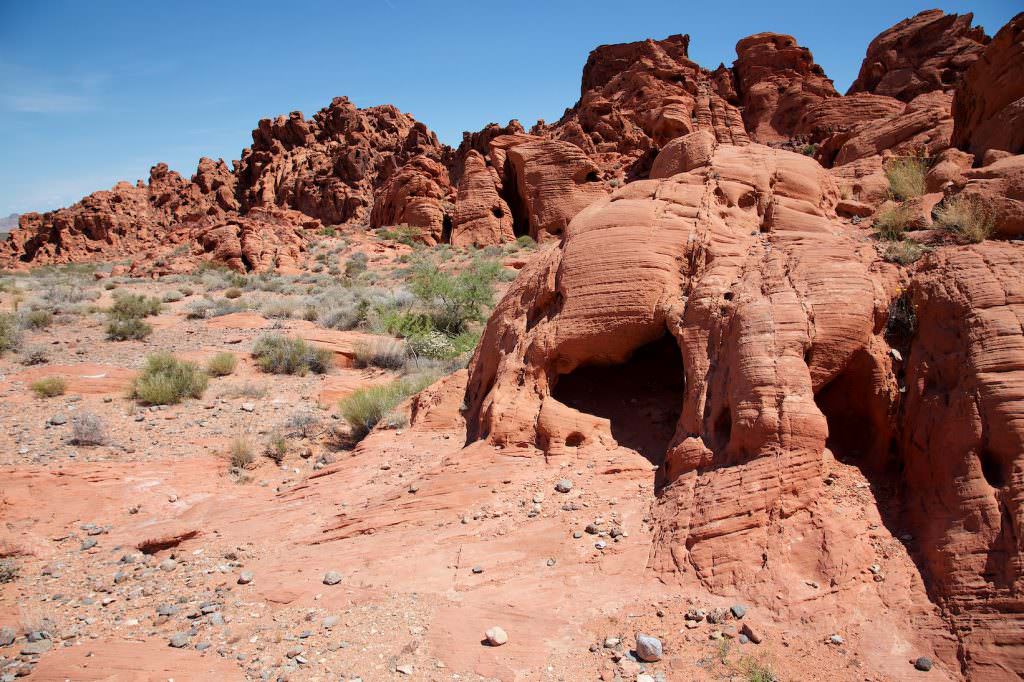
Elephant Rock from the front
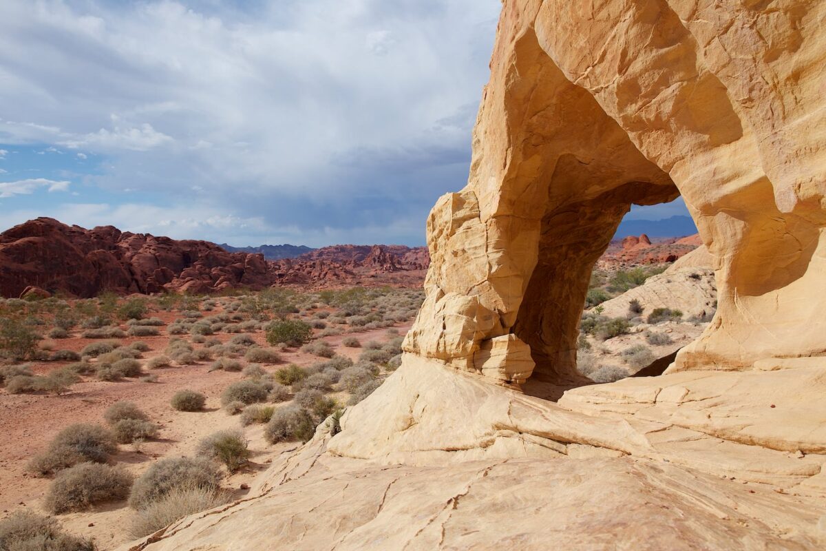
Elephant Rock
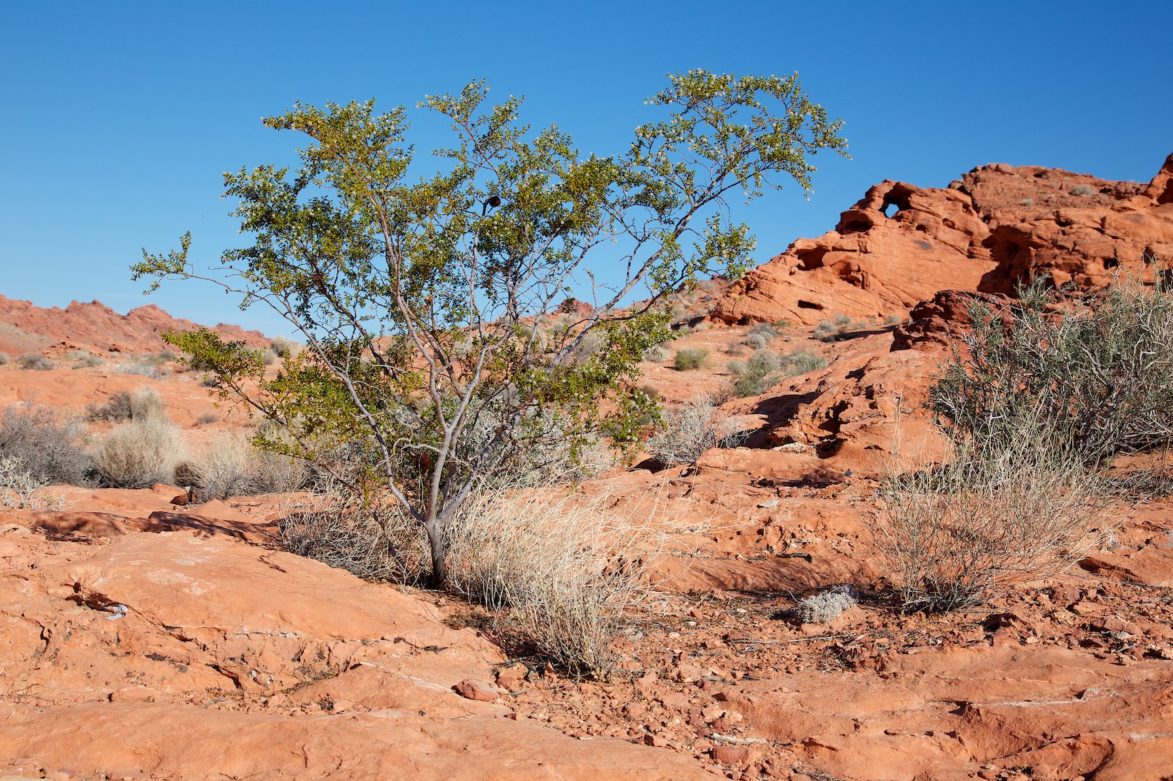
Description: If you enter the park from the east, the trailhead to Elephant Rock is directly behind the pay station for the state park. The trail is a few hundred yards long and climbs a bit. The surface is sometimes a little sandy. To get directly under, or to Elephant Rock, you have to climb a little at the end.
You can also see Elephant Rock from the road, but you can't stop or park here, so if you want to hike to Elephant Rock, you have to stand in the official parking lot.
Our rating: Nice little trail with a great arch at the end. This was a nice start to our day at Valley of Fire SP in May 2013. We can recommend the Arch for a visit.
☆☆☆☆☆Bewertet mit 4 von 5
Elephant Rock from the back
On the trail
Elephant Rock from the front
On the trail
Balanced Rock
Description: The short trail to Balanced Rock starts directly at the Visitor Center. The trail leads a little up and down but is very easy to walk.
Our rating: You can skip the trail and look at Balanced Rock from the View Point on the road. In our opinion, there are better things to do with the time.
☆☆☆☆☆Bewertet mit 2 von 5
Viewpoint from the road
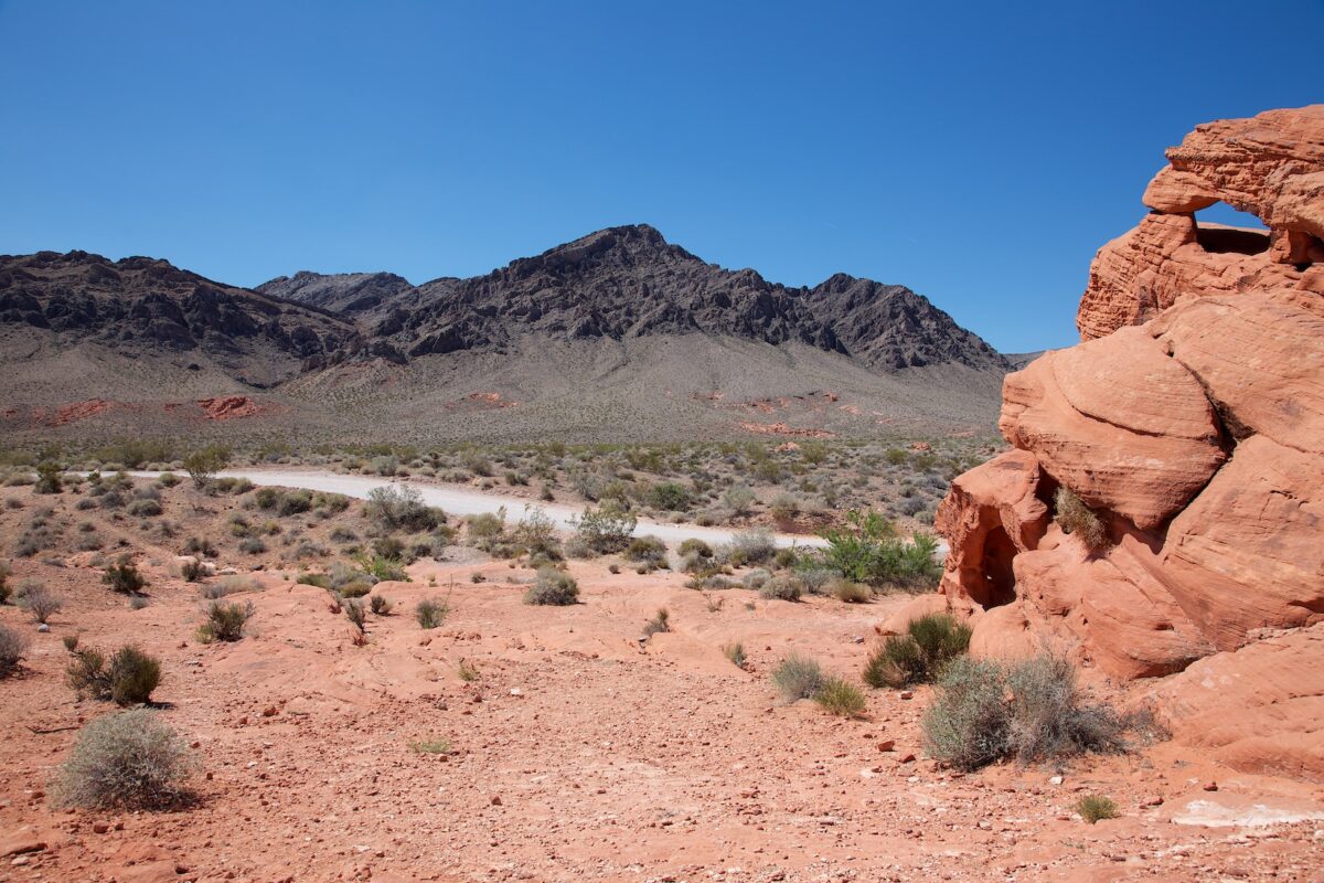
Silica Dome
Description: Fire Canyon Rd. was closed for construction when we first visited in May 2013. In 2016 in February we were finally able to drive to Silica Dome.
Our rating: The drive and also Silica Dome are quite nice, but we found the other parts of the Valley of Fire much more spectacular. However, we did not take the time to hike here. Possibly we could have warmed up more to the area then. Quite nice, but for us no must see.
☆☆☆☆☆Bewertet mit 2 von 5
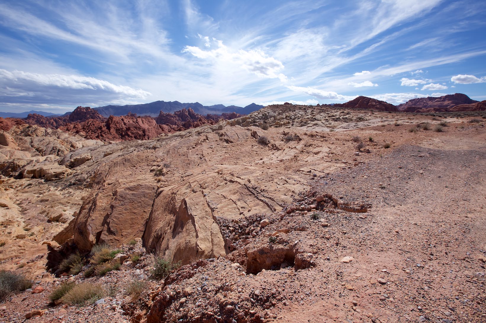
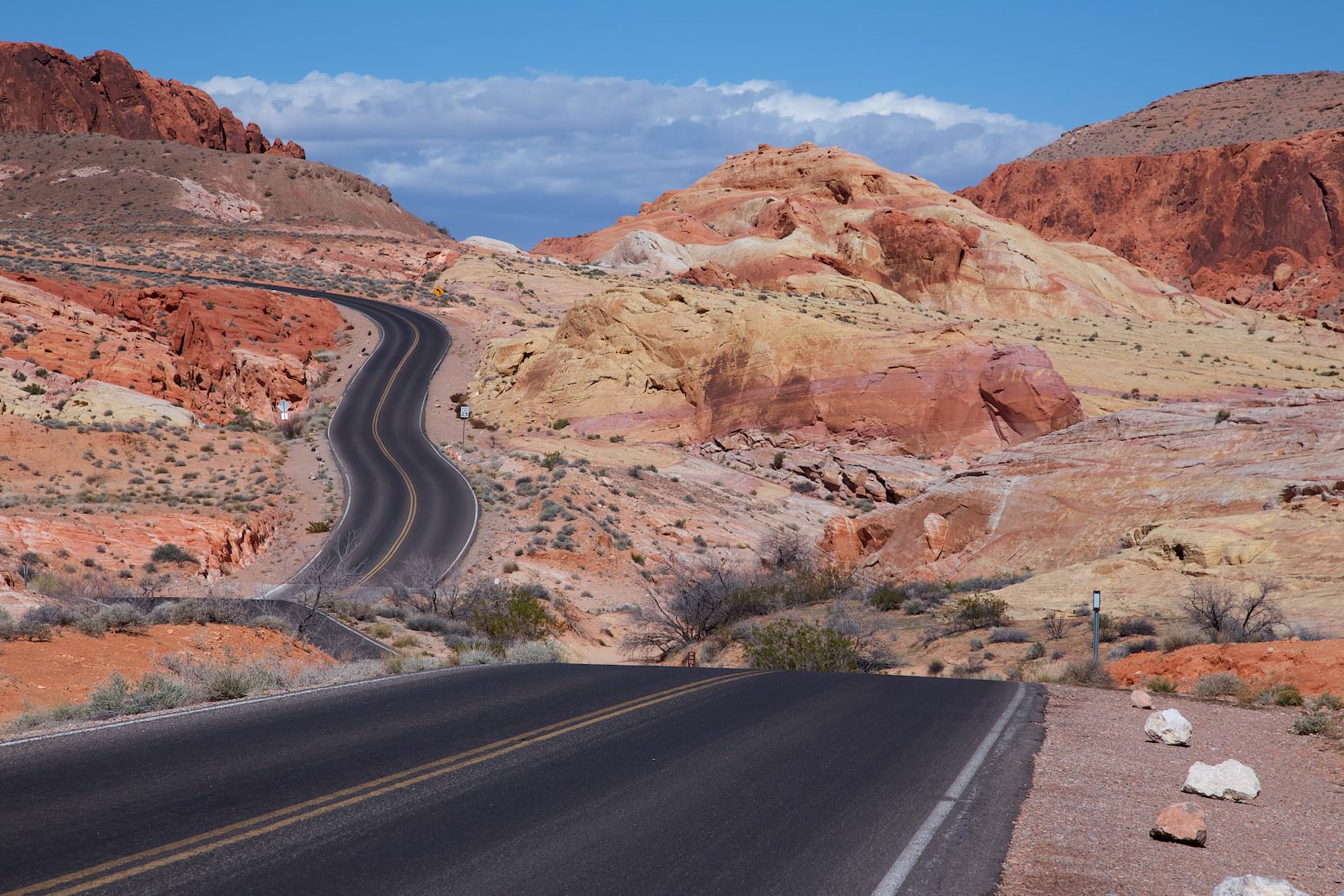
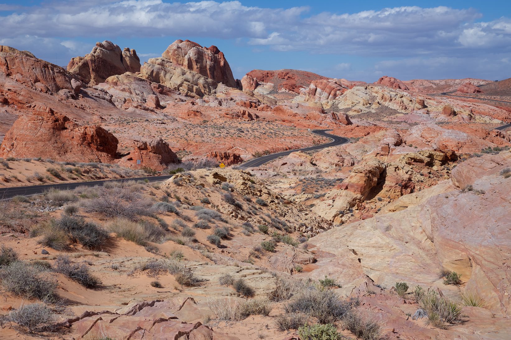
Rainbow Vista
Description: The parking lot to Rainbow Vista is located on Mouse's Tank Road and offers not only an associated trail, but also a great view of a colorful rock world.
Our rating: We didn't hike the trail, it was too sandy for us and from the photos we had seen of it, it didn't seem as interesting as the other locations we had chosen. But you should still stop at Rainbow Vista. The view is incredible. As always, the pictures can give you an impression, but they don't really come close to reality.
☆☆☆☆☆Bewertet mit 4 von 5
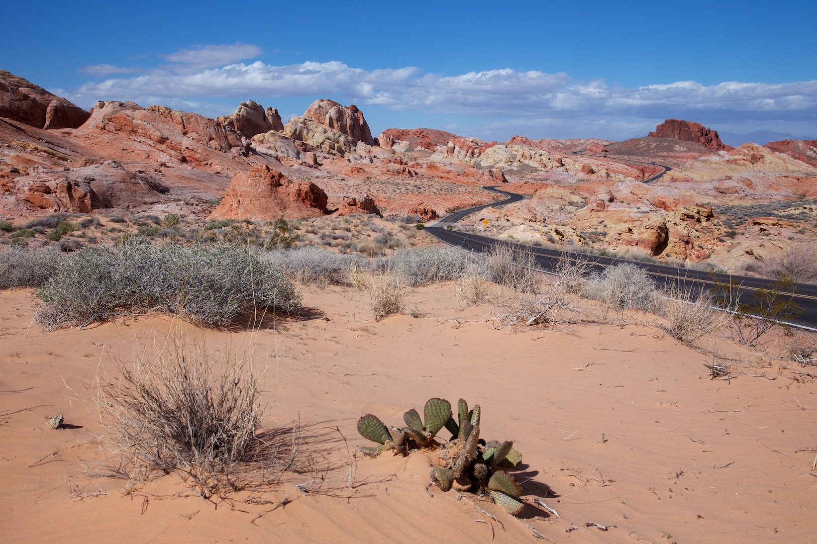
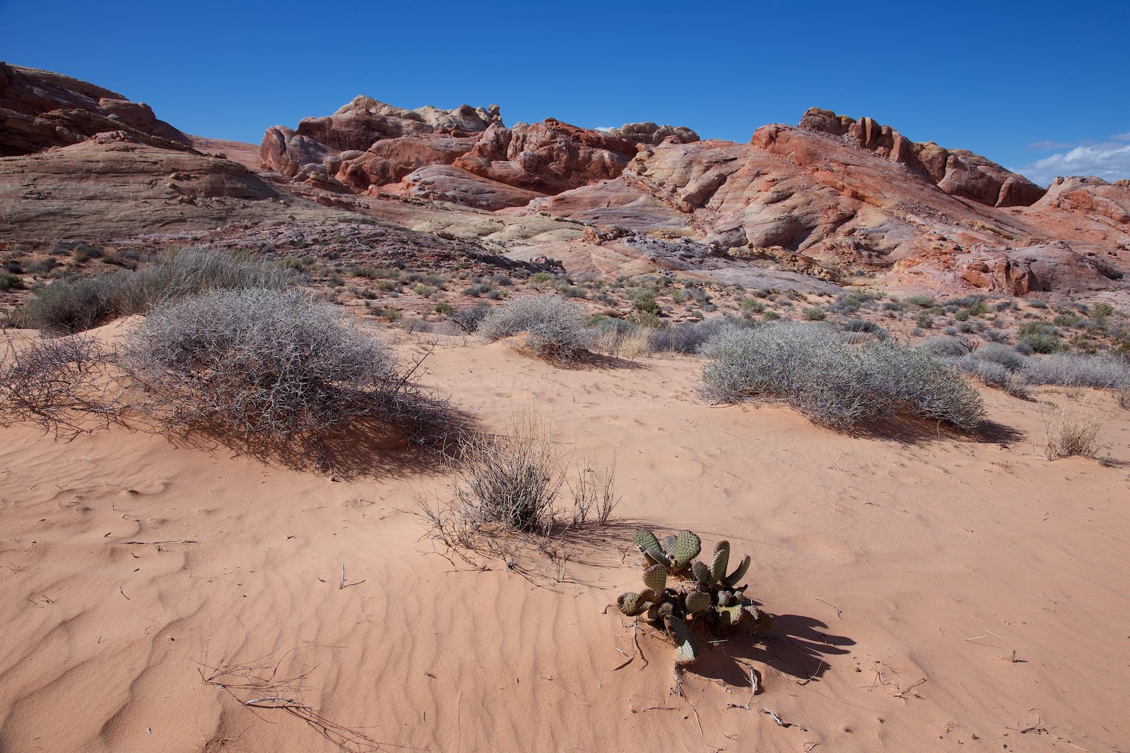
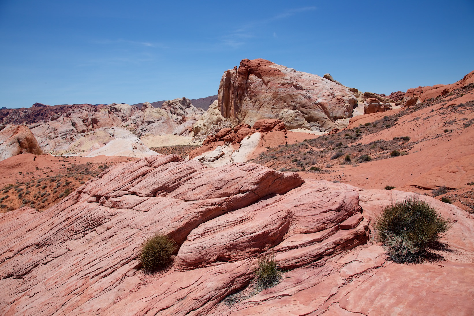
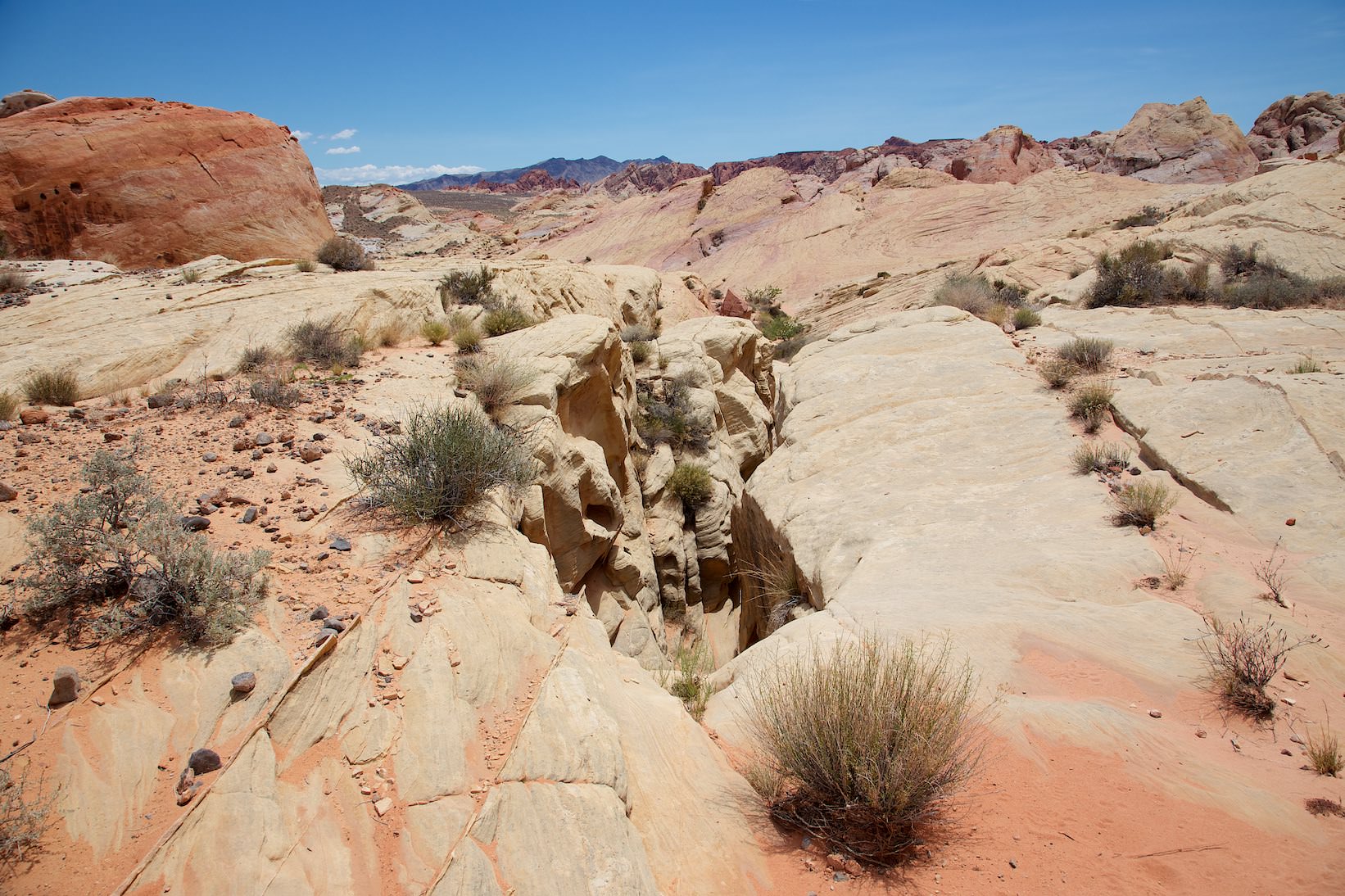
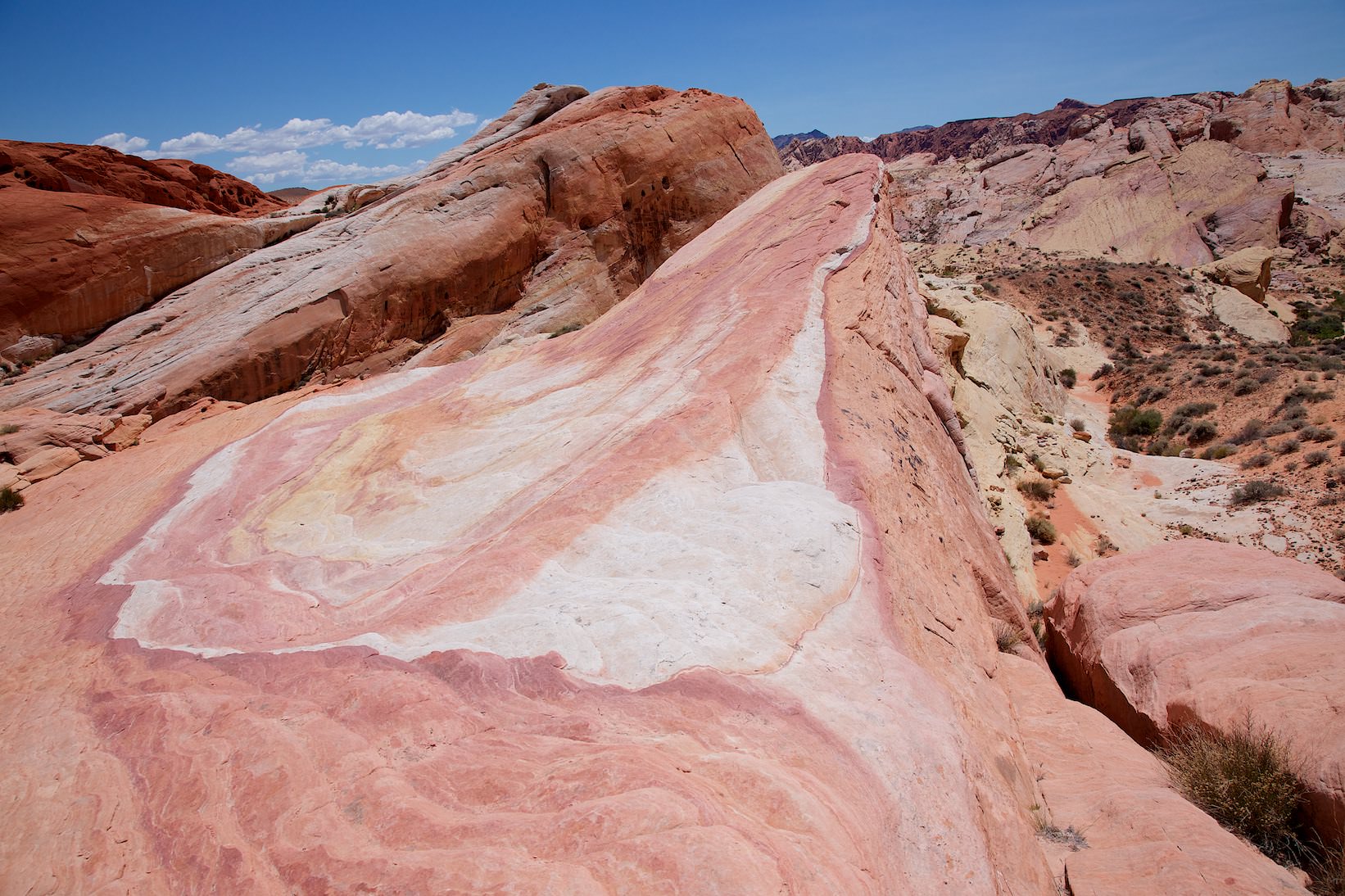
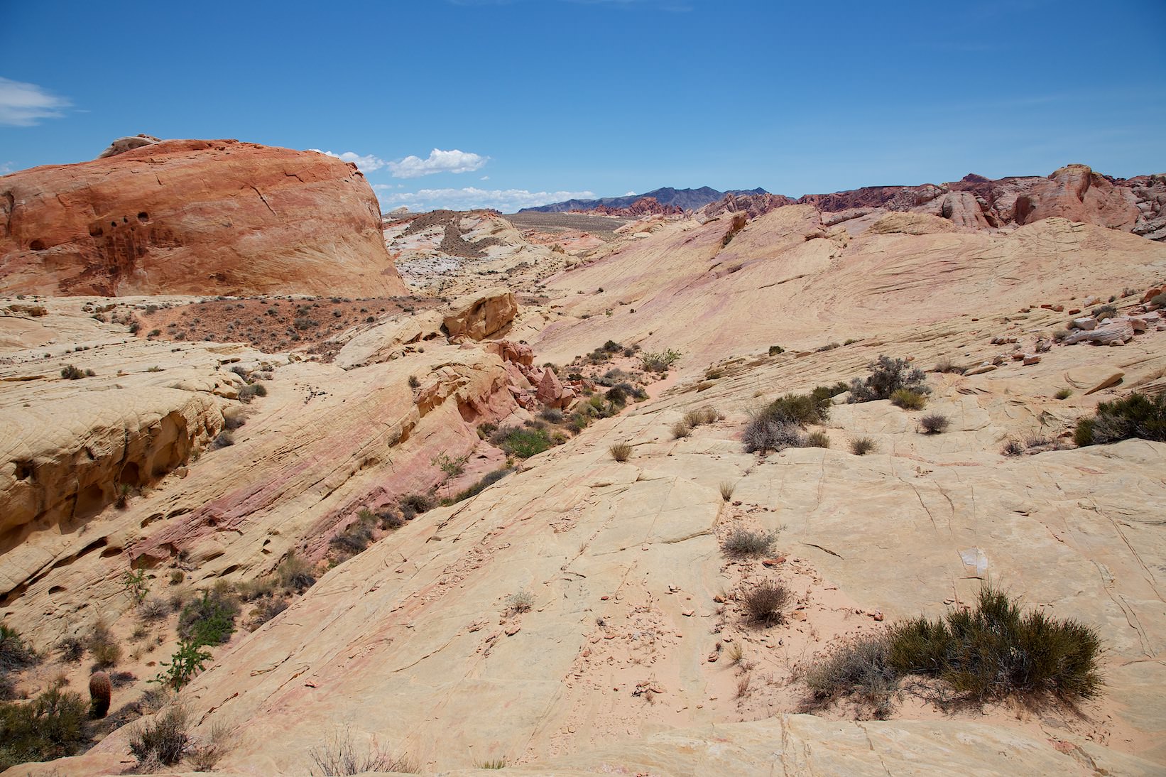
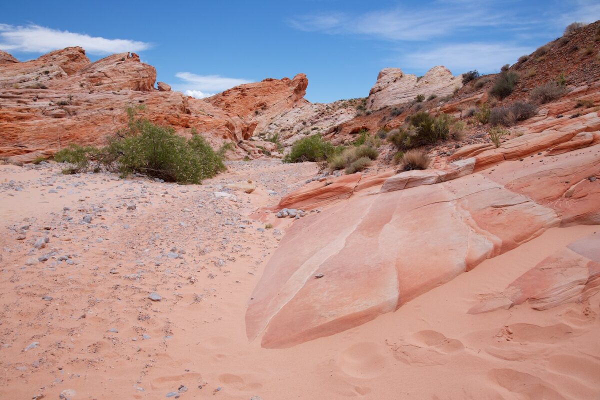
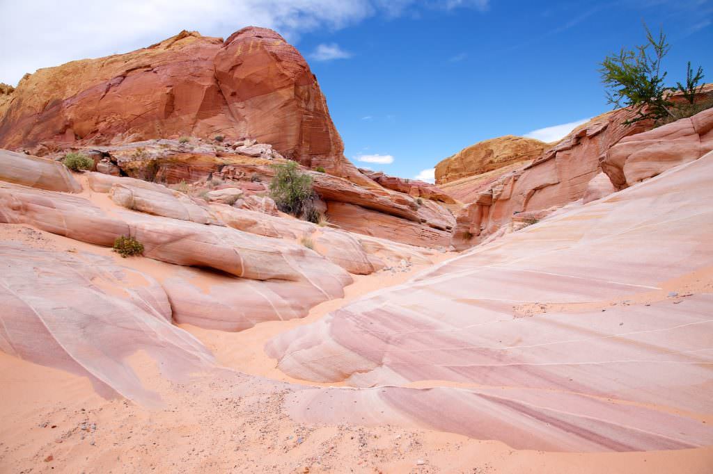
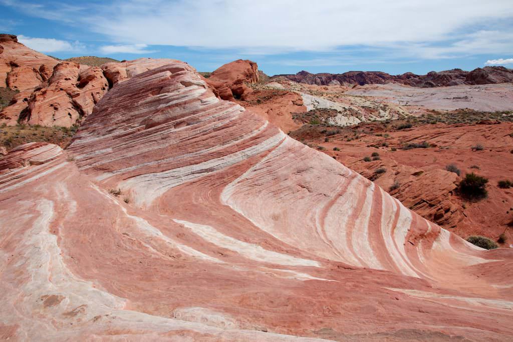
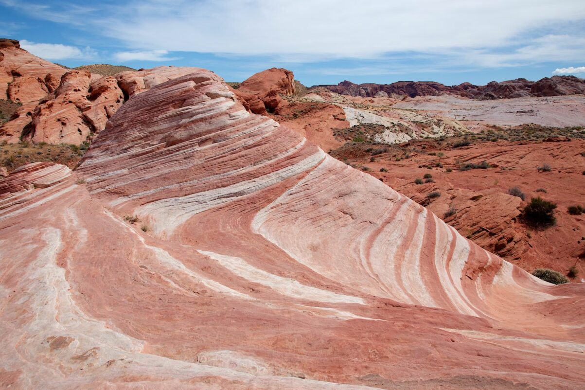
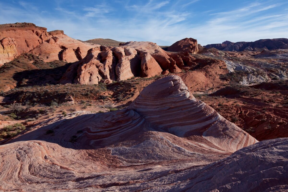
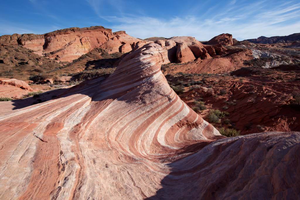
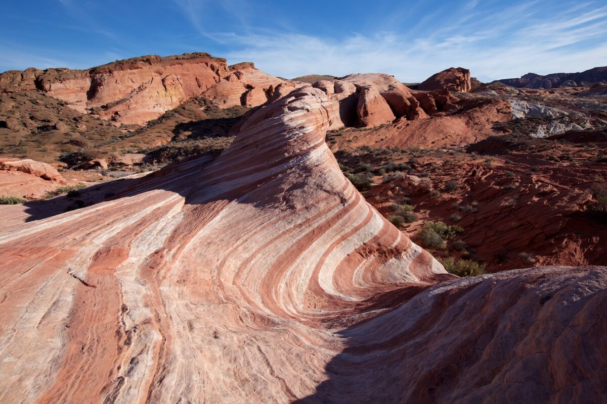
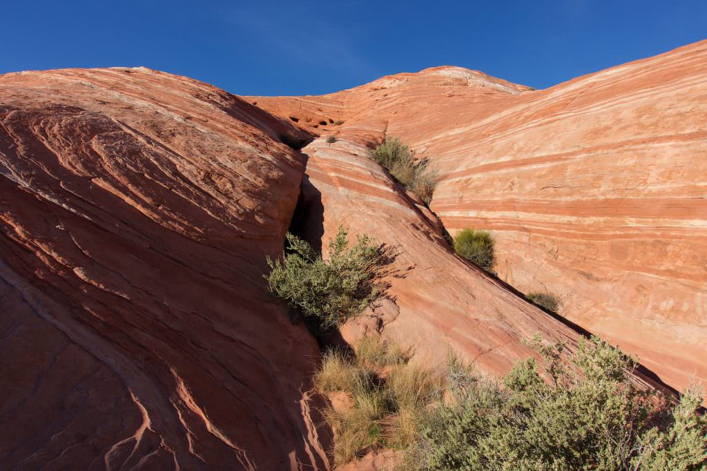
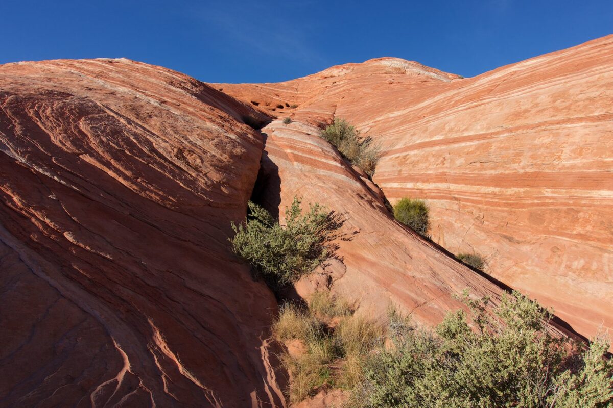
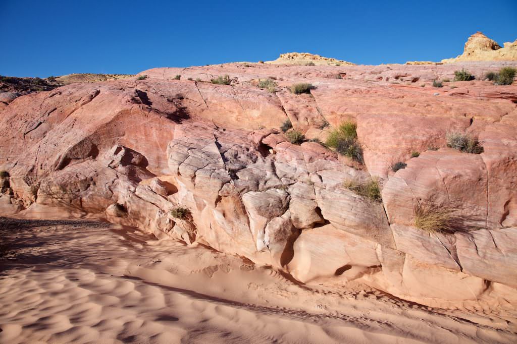
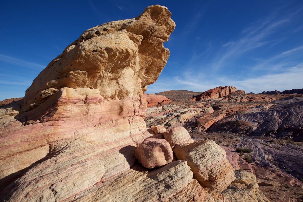
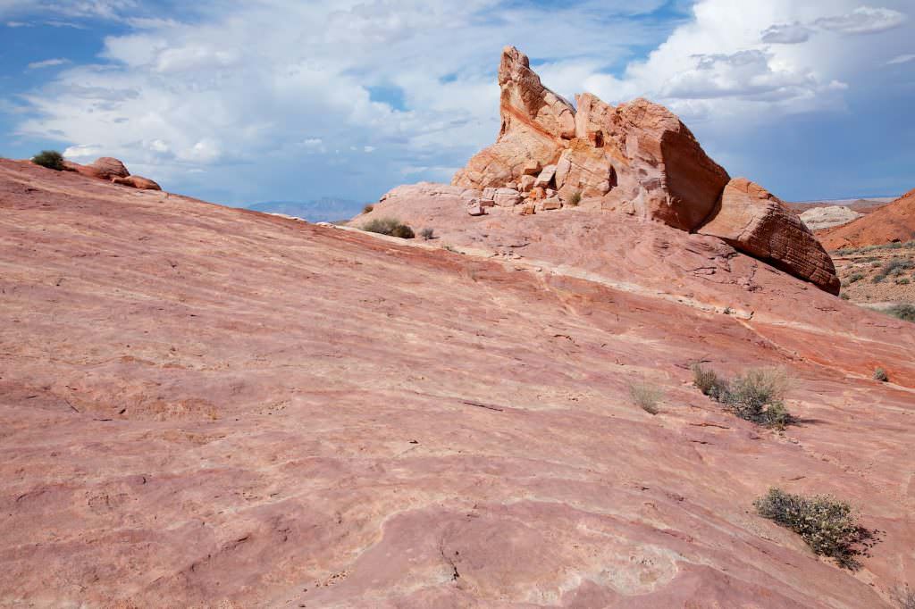
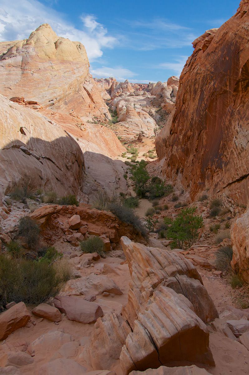
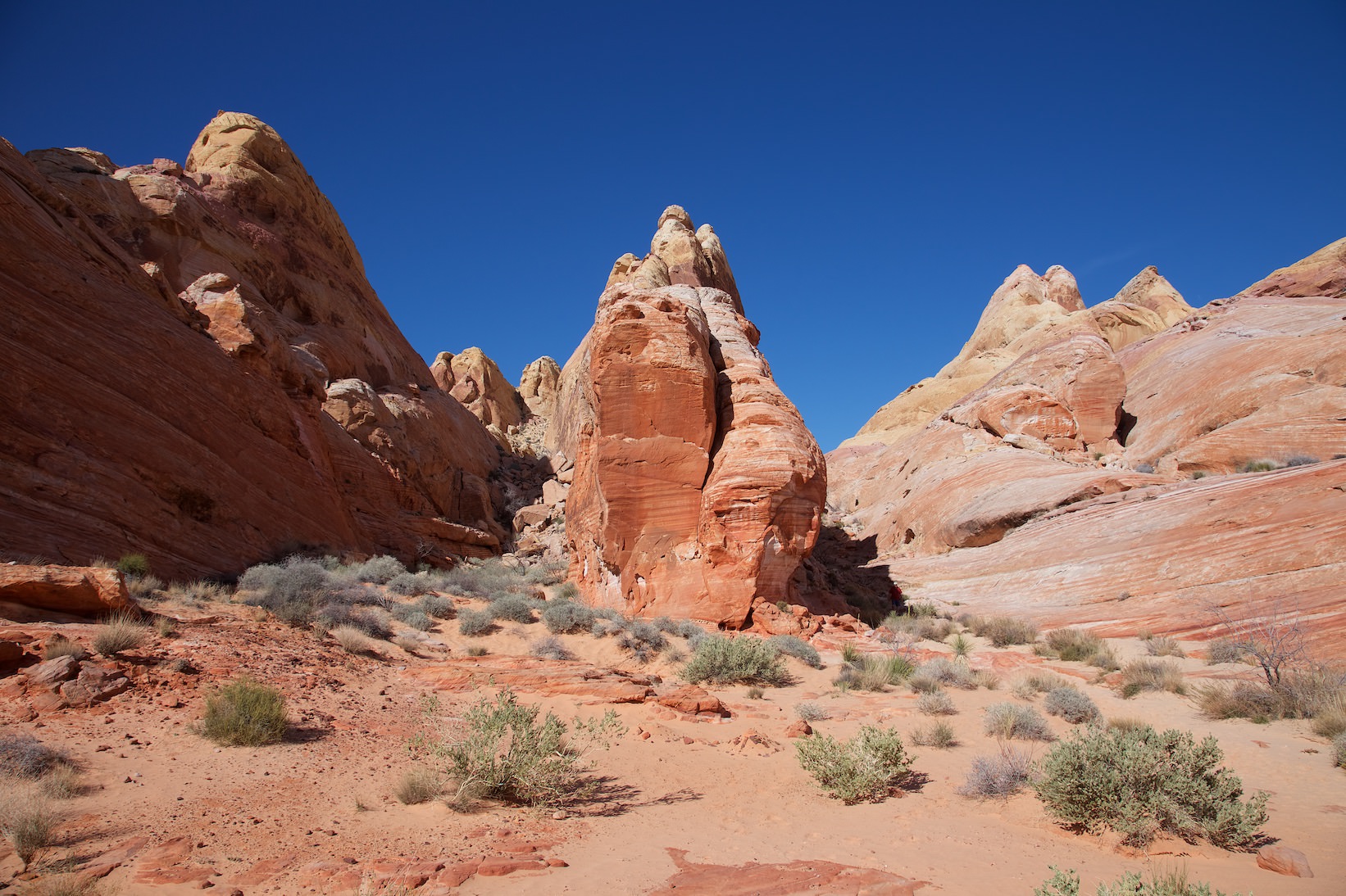
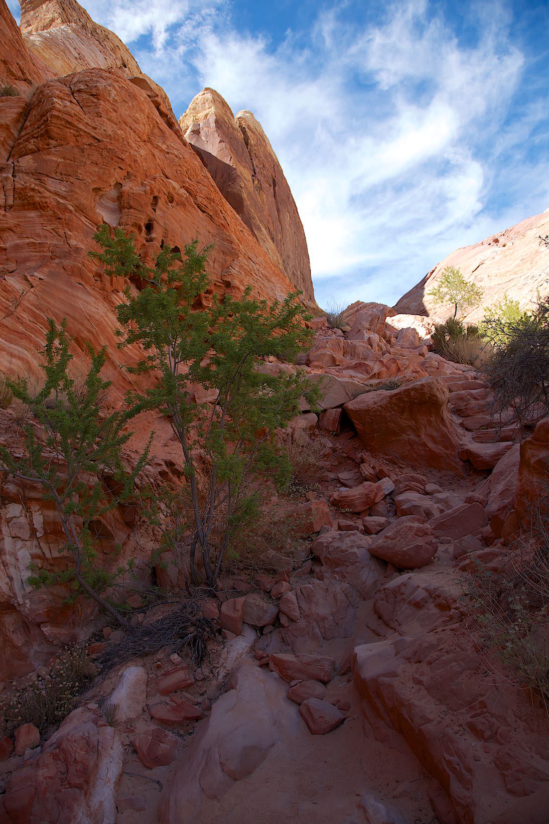
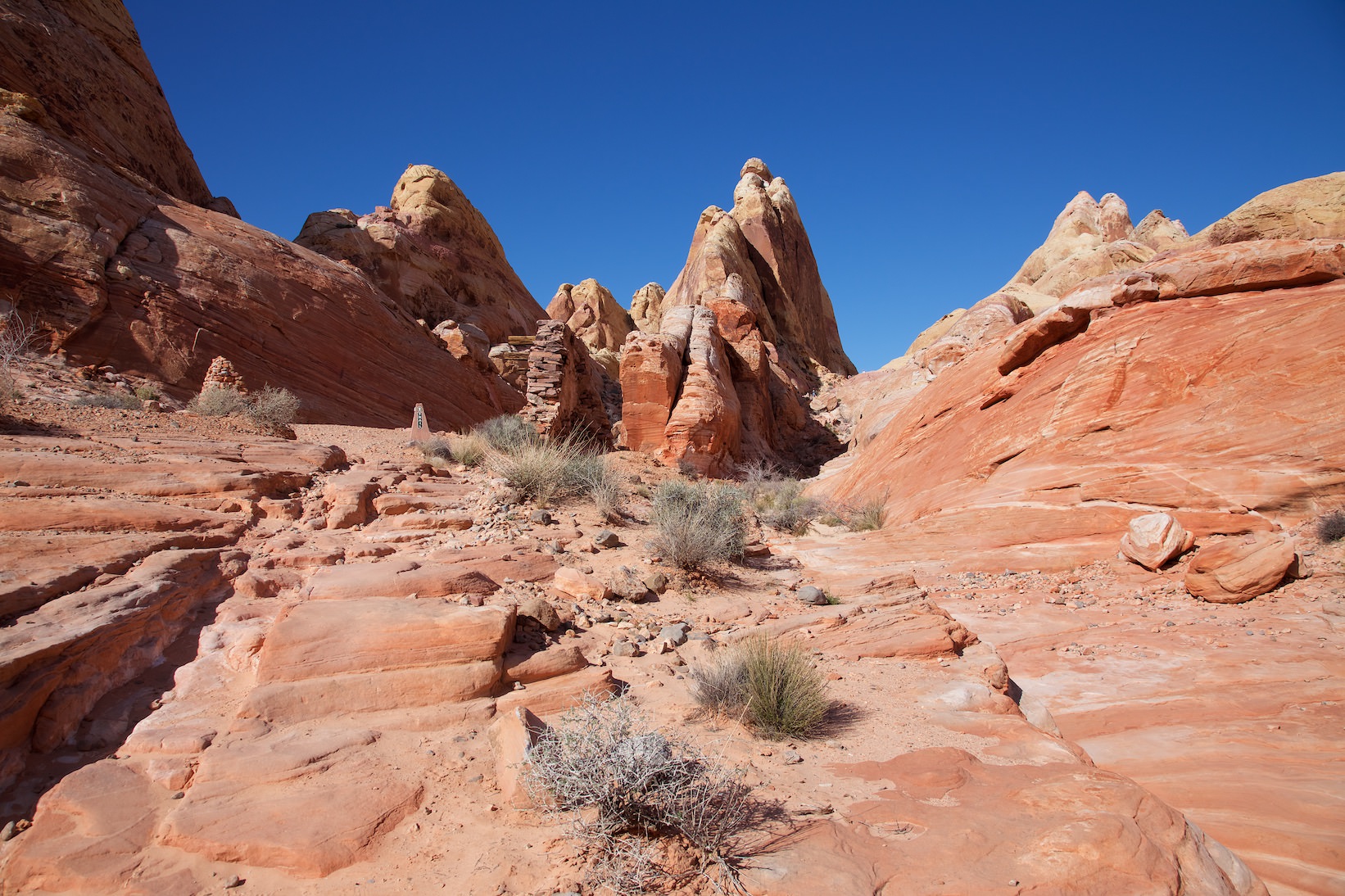
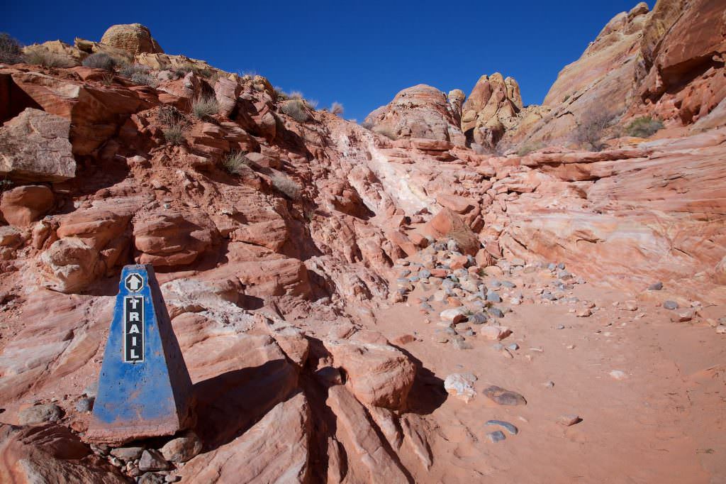
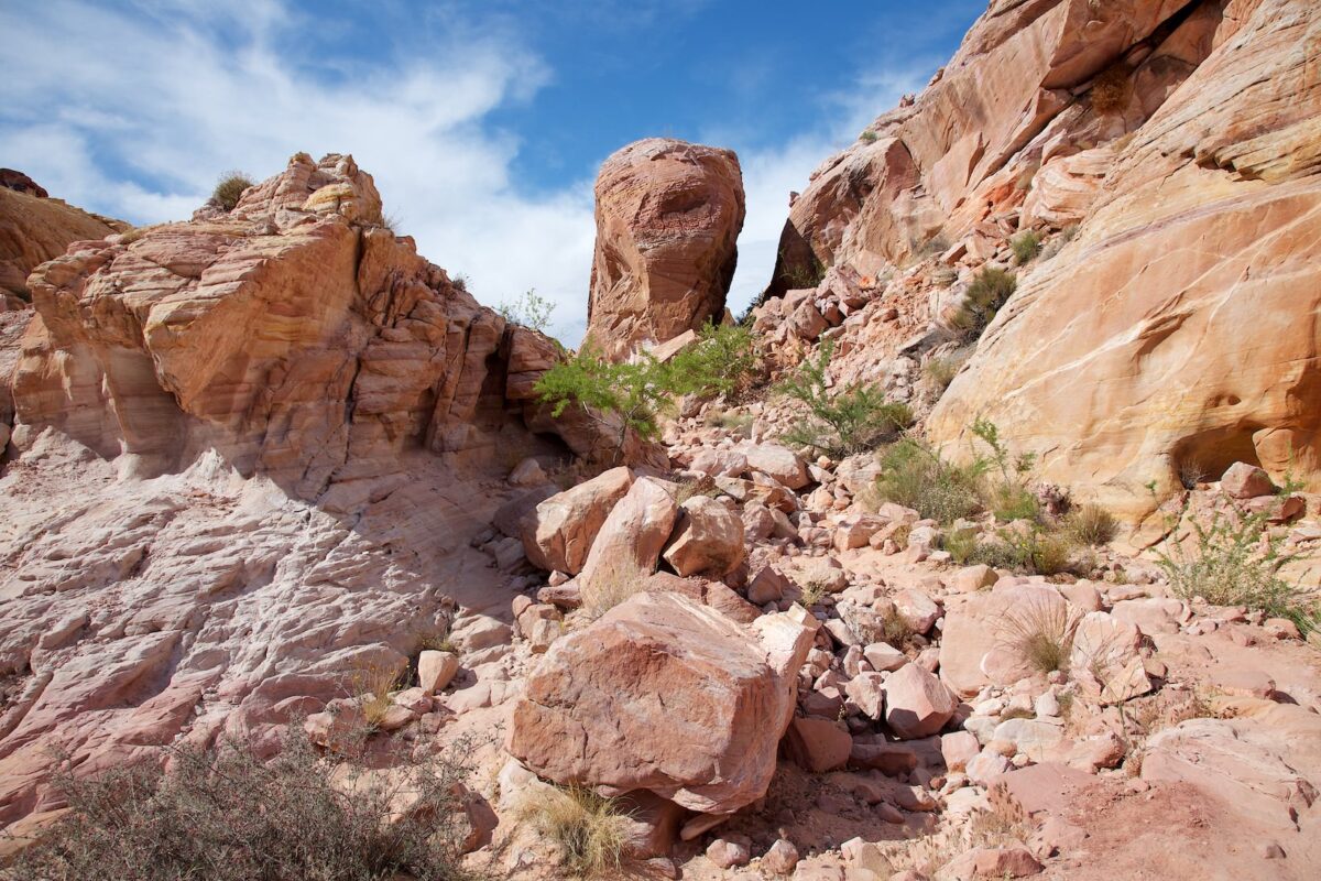
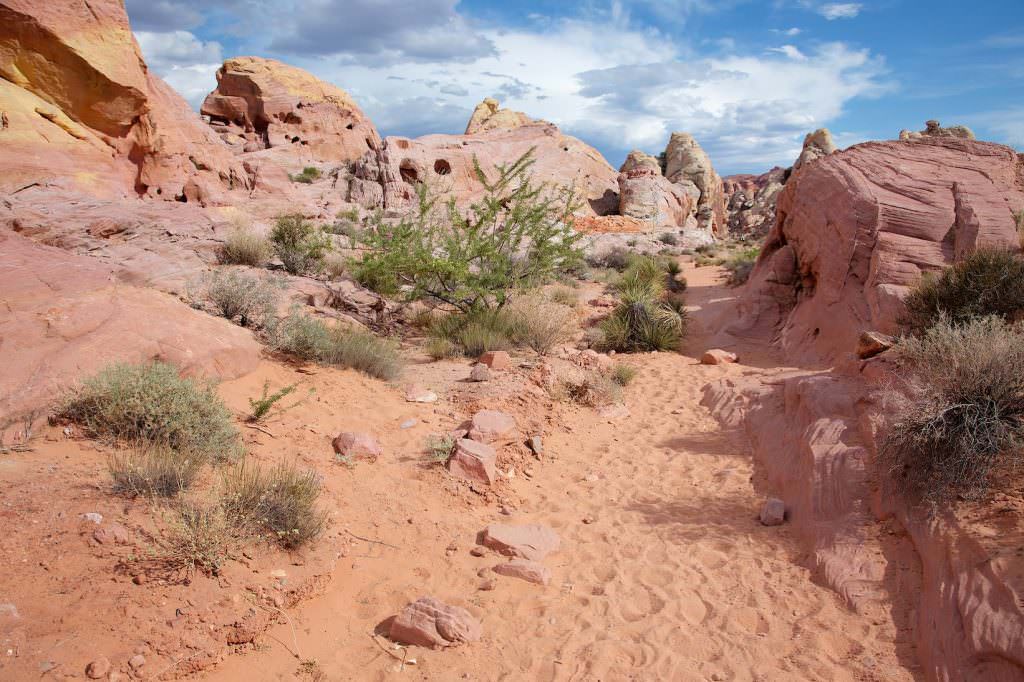
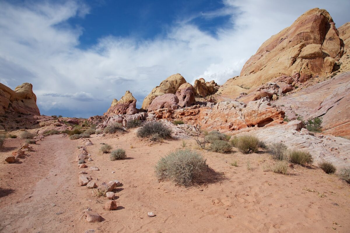
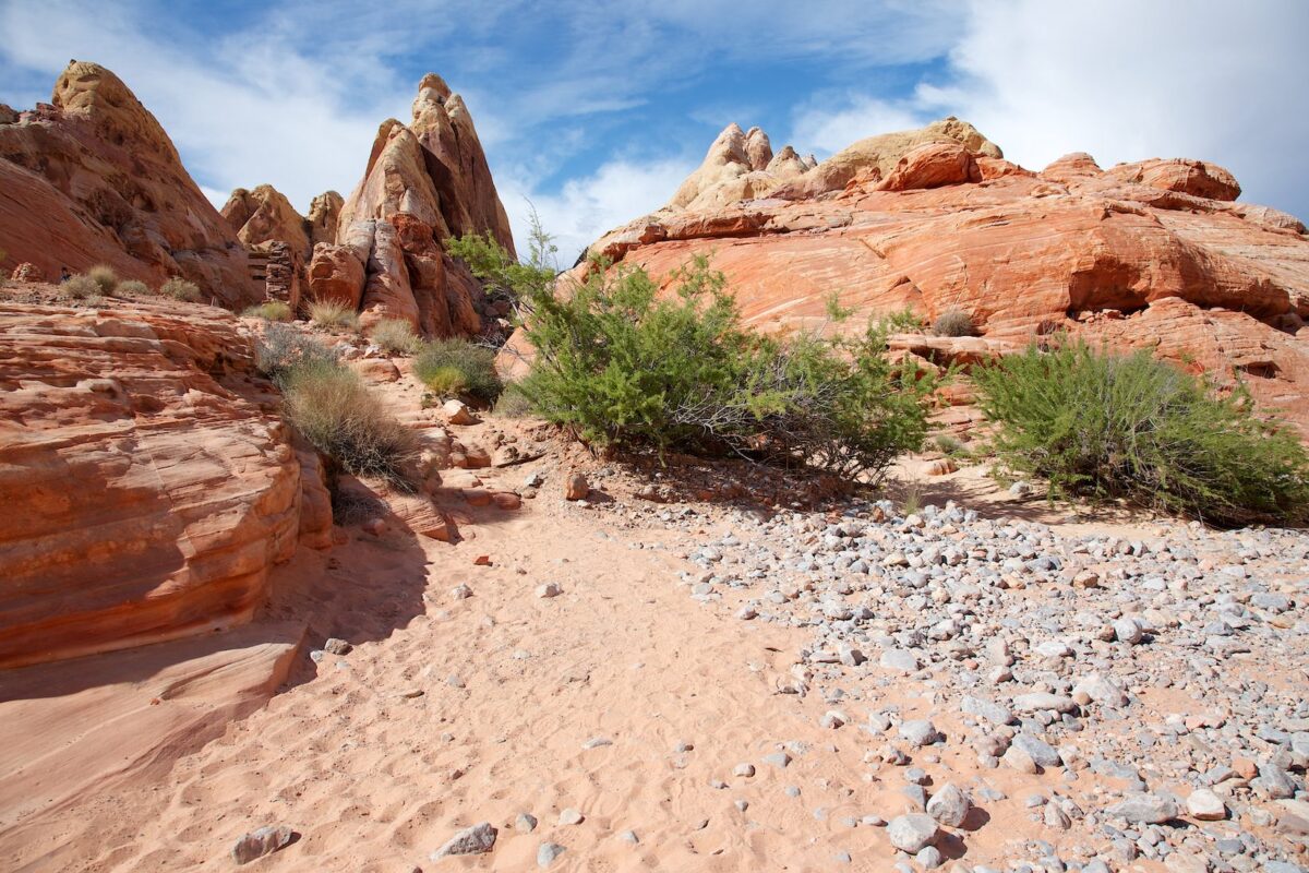
Crazy Hill und Fire Wave
Current: Due to extreme heat, the trail is closed from May 15th to October 1st. Which trails are also affected by the closures can be found on the official webpage.
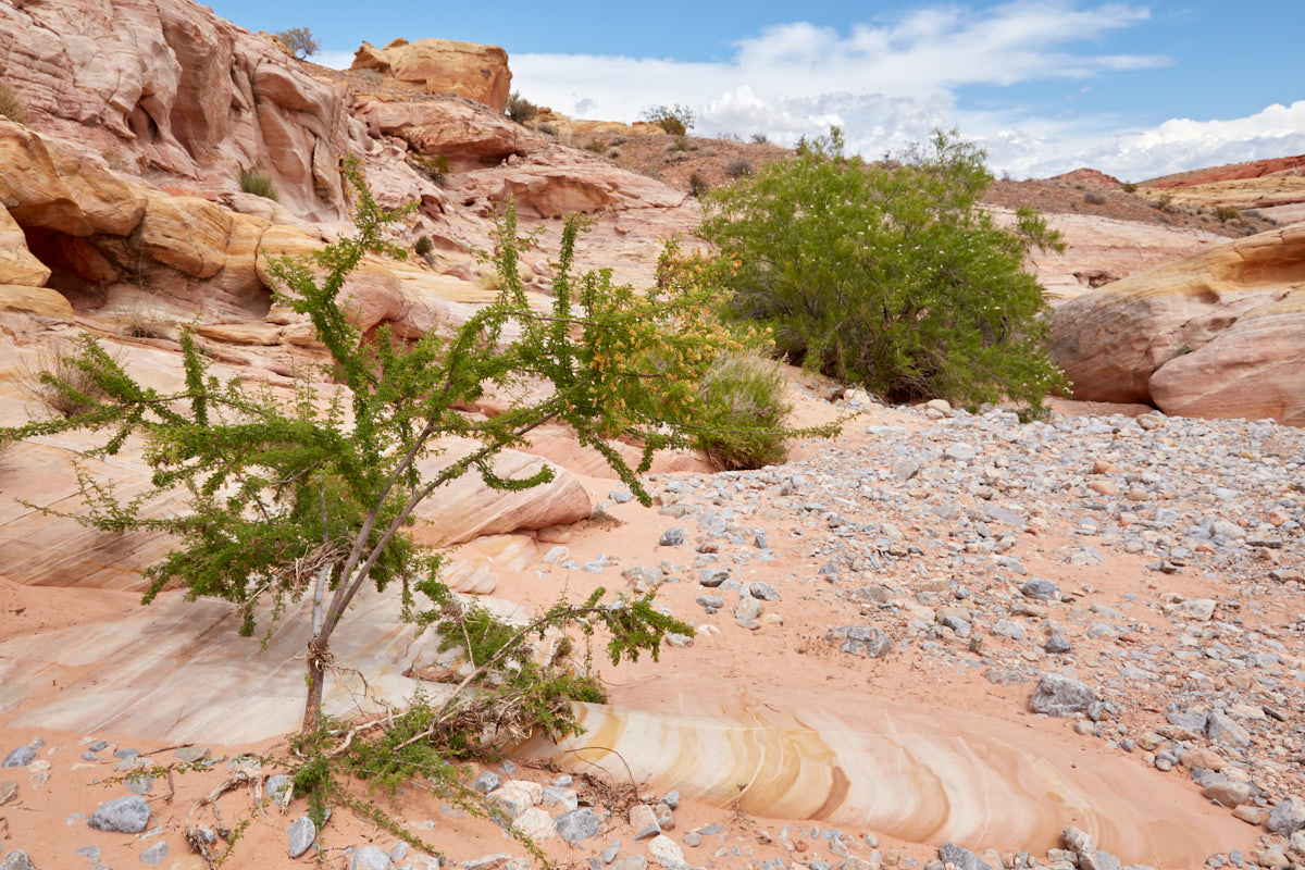
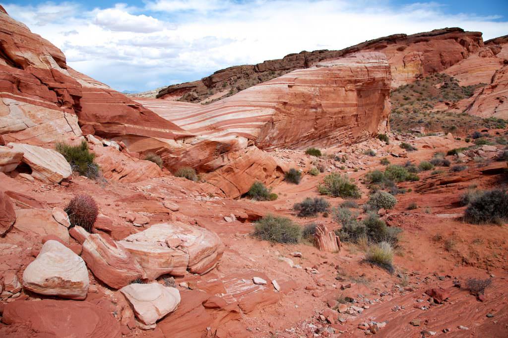
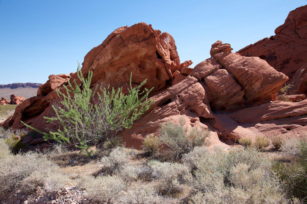
Description: Within the Valley of Fire SP you are basically allowed to hike cross-country everywhere. From the parking lot to the Fire Wave we searched our own way through the colorful rocks to the Fire Wave and back. First we hiked in western direction into the area and looked for a way down into the wash. If you hike east in this wash, you cross Mouse's Tank Road. If you continue to hike this wash on the other side of the road, you will reach the Fire Wave. The washes on Mouse's Tank Road are numbered. This one is number 5. From Fire Wave we hiked back to the car on the official trail. The entire trail is linked below to download.
Trail length: 3.2mi roundtrip Altitude difference: approx. 656ft Time needed: 2-3 hours Difficulty level:moderate - There is no fixed trail here. Sometimes you have to search for the way and sometimes you have to climb.
Our rating: A very great hike on which you are, at least in the first part alone on the trail. The colors of the stones are incredible. We can recommend this trail without reservation.
☆☆☆☆☆Bewertet mit 4 von 5
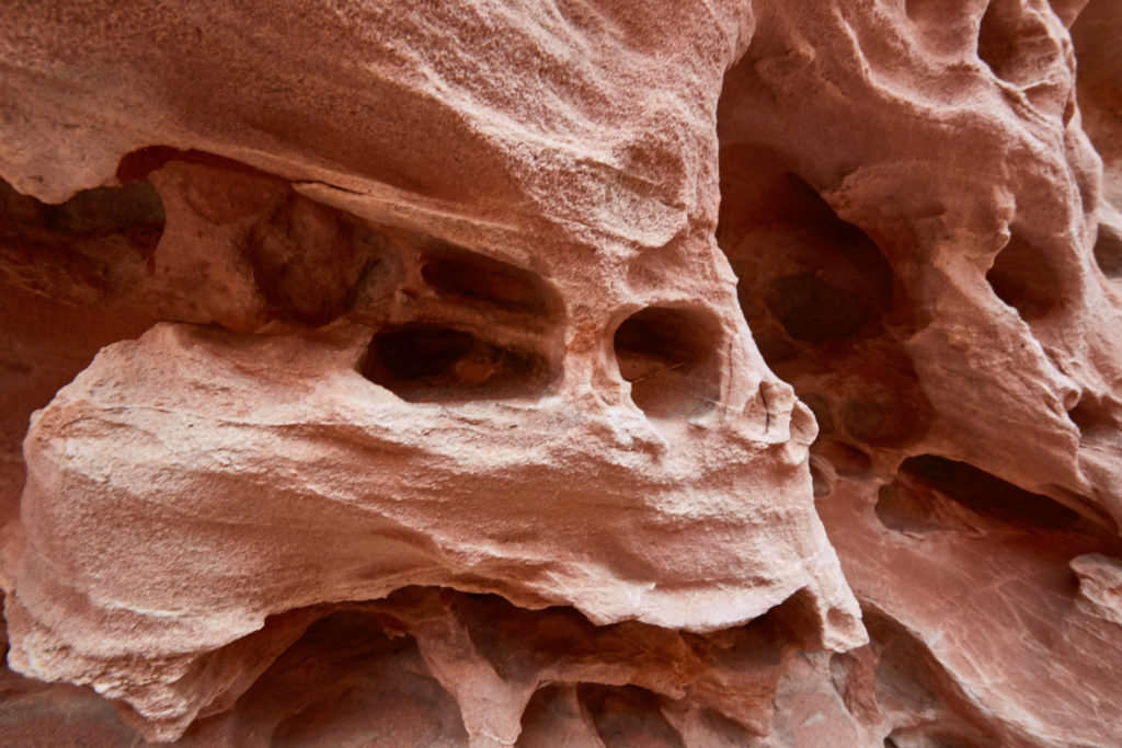
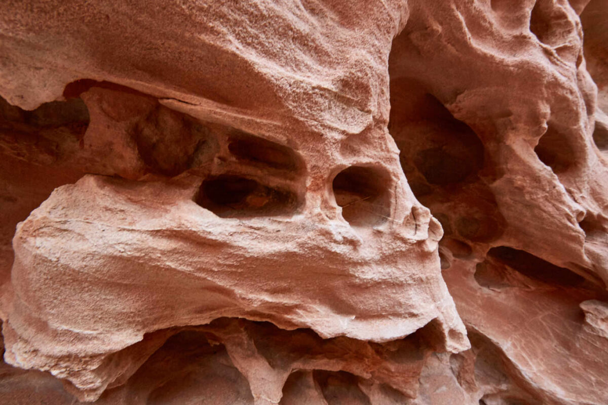
Fire Wave
Wash No.5
Fire Wave
Wash No.5
Fire Wave
Fire Wave
Fire Wave
Fire Wave
Fire Wave from the side
Fire Wave
On the trail
Fire Wave
Fire Wave
Fire Wave
Here is the way down
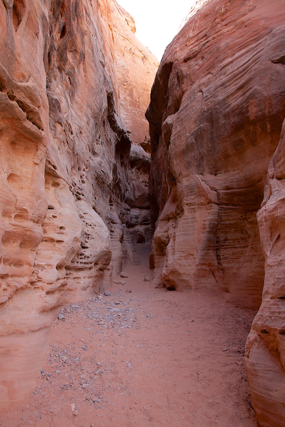
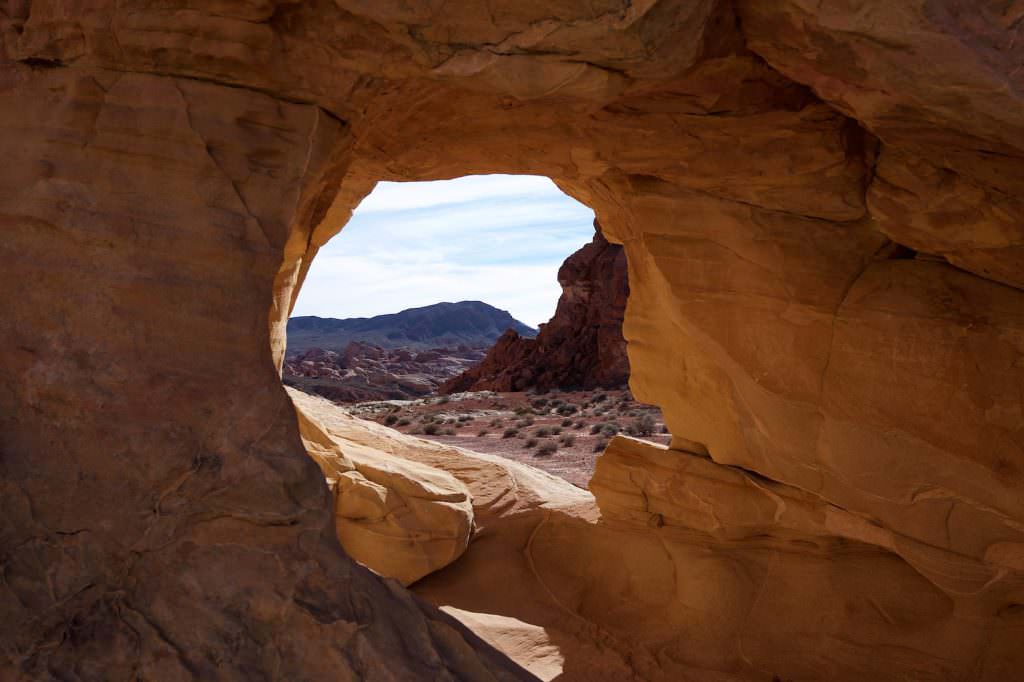
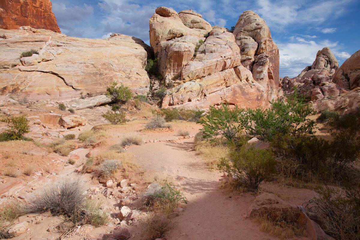
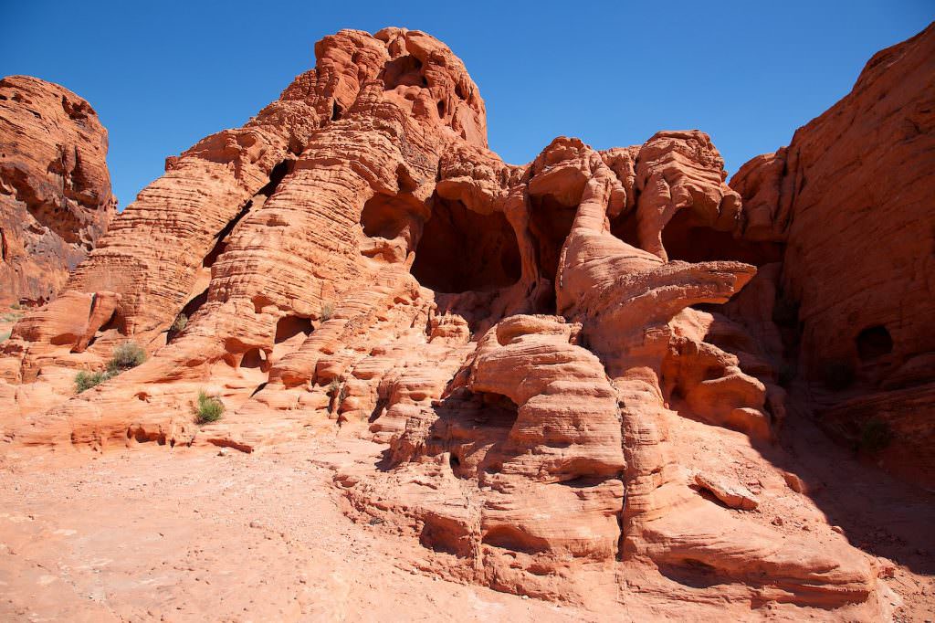
White Domes
Current: Due to extreme heat, the trail is closed from May 15th to October 1st. Which trails are also affected by the closures can be found on the official webpage.
Description: The trailhead to the White Domes is at the end of Mouse's Tank Road. It first leads over a sand dune and then down into a small canyon, this has a small slot passage at its end. After climbing back up out of the canyon, the trail continues relatively level between colorful rocks. Since the trail is a loop, you can walk it in either direction.
Trail length: 1mi roundtrip Altitude difference: approx. 180ft Time needed: 1 1/2 Stunden Difficulty level: easy - The trail is well maintained and mostly easy to hike.
Our rating: This trail is also very worth seeing and varied. Next to the trail to Crazy Hill/Fire Wave, this is our favorite hike in the park.
☆☆☆☆☆Bewertet mit 4 von 5
Small slot passage in the canyon
Look back
White Domes
White Domes
White Domes
Radio Tower Rock
White Domes
White Domes
New Wave
White Domes
White Domes
White Domes
White Domes
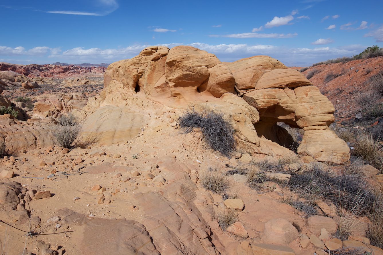
Arch Rock
Piano Rock
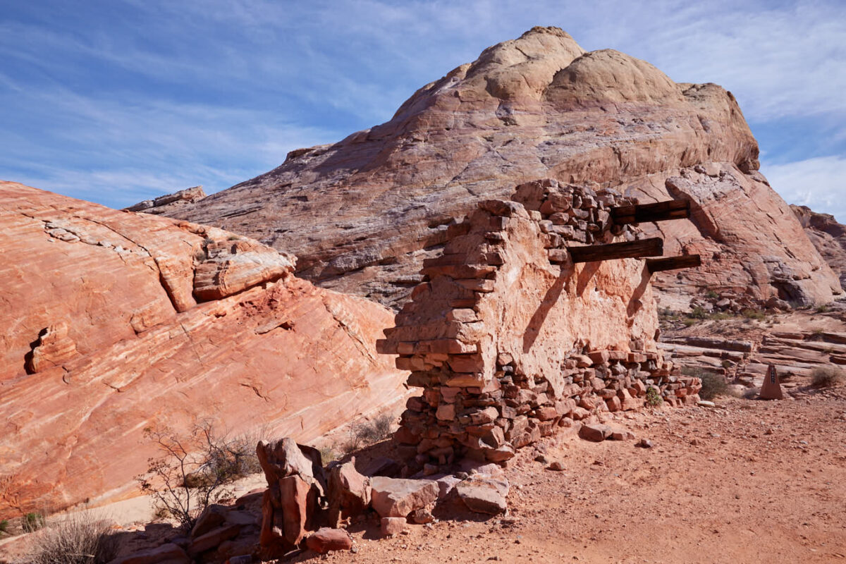
Campground Loop
Description: The Campground Road leads in an arc past some pretty arches in the park. It is unpaved throughout, but good to drive. During our visit in May 2013 you could have driven with any car.
Our rating: Quite nice drive. The best we liked the Fire Cave, because it looks huge on photos and is much smaller in reality. Fascinating what small treasures are hidden here. Inevitably, one wonders what else is hidden here in the rocks that no one has ever seen.
☆☆☆☆☆Bewertet mit 4 von 5
Windstone Arch/Fire Cave
Current: Since spring 2021, the pretty little Windstone Arch in the so-called Fire Cave is no longer standing. According to park rangers there is no evidence that the arch was intentionally destroyed. Since it already had a larger crack, it is assumed that it has fallen victim to erosion.
Arch Rock
Piano Rock
Current: Since spring 2021, the pretty little Windstone Arch in the so-called Fire Cave is no longer standing. According to park rangers there is no evidence that the arch was intentionally destroyed. Since it already had a larger crack, it is assumed that it has fallen victim to erosion.


