Altitude above sea level: North End Orientation Pullout
4980ft
Altitude above sea level: South End of Burr Canyon
5003ft
Our visits: So far 2 visits in February 2016 and October 2018
Nottom Bullfrog Road
Nottom Bullfrog Road
Nottom Bullfrog Road
Nottom Bullfrog Road
Nottom Bullfrog Road
Nottom Bullfrog Road
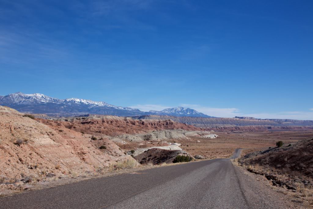
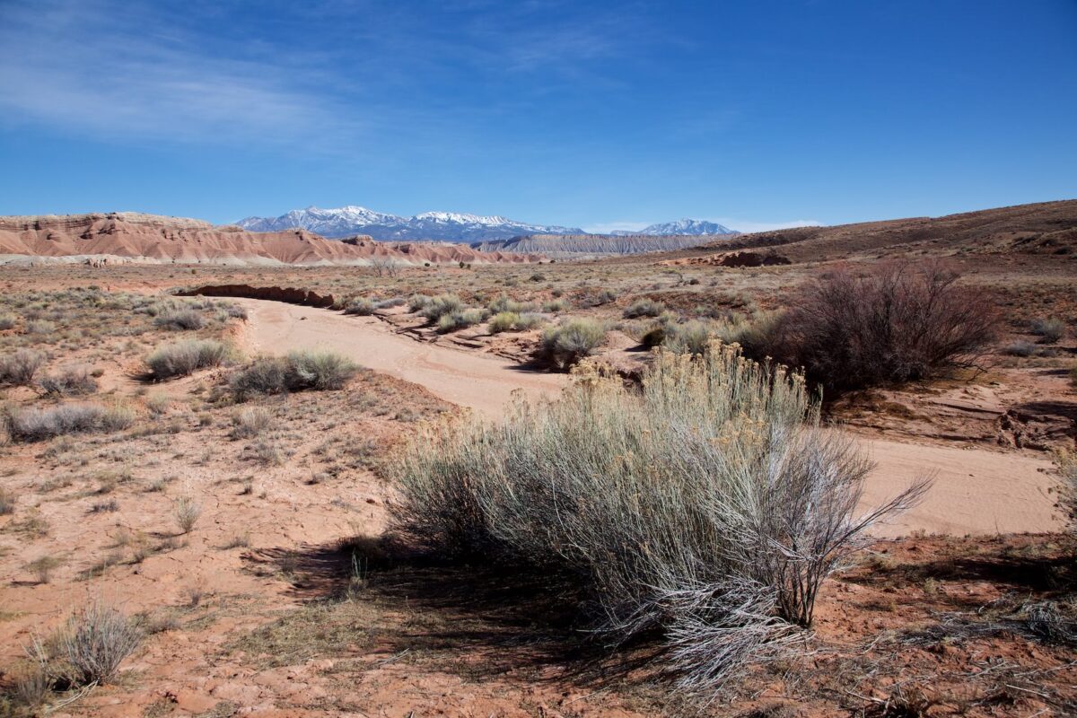
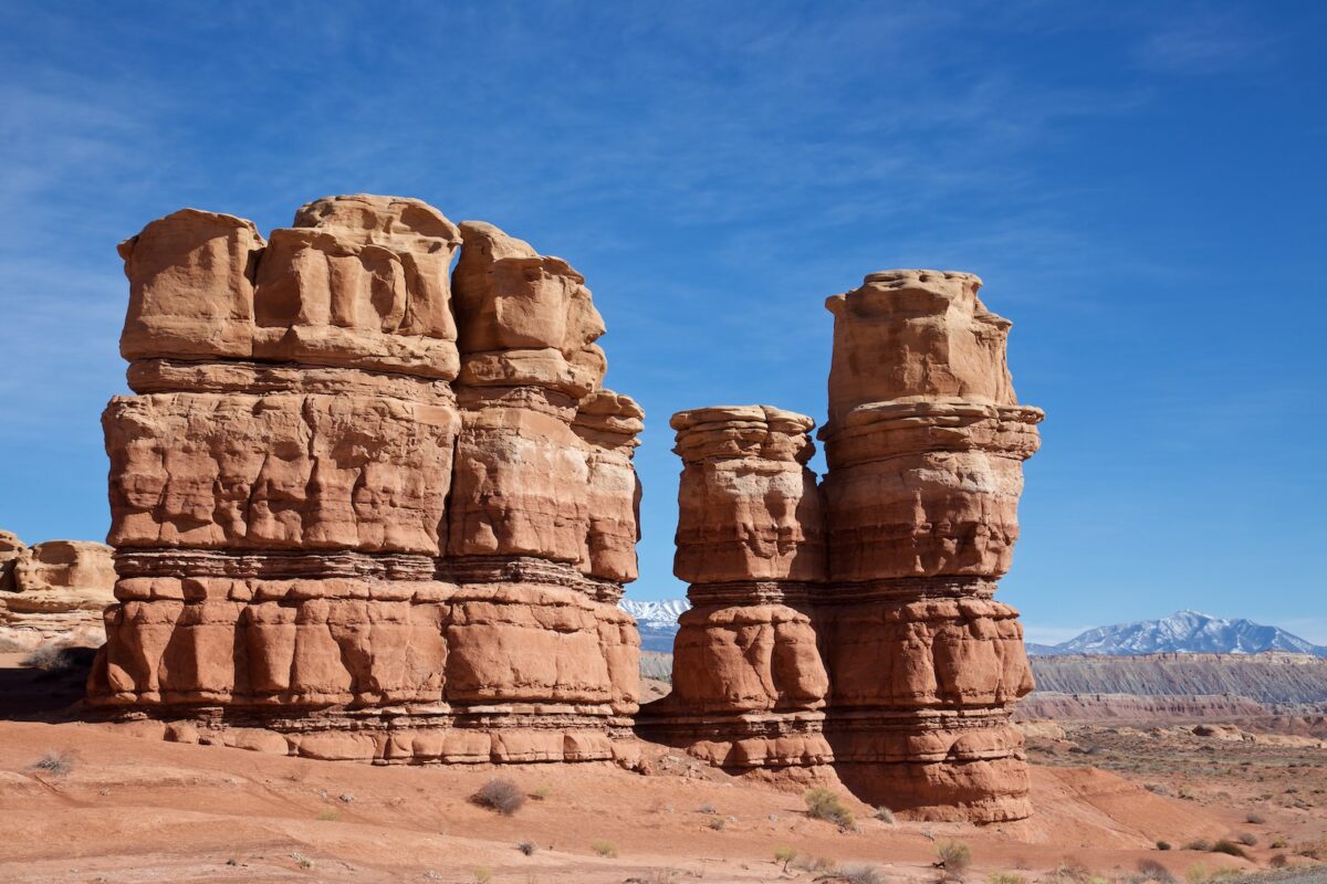
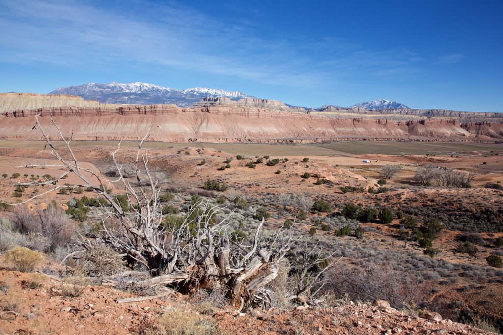
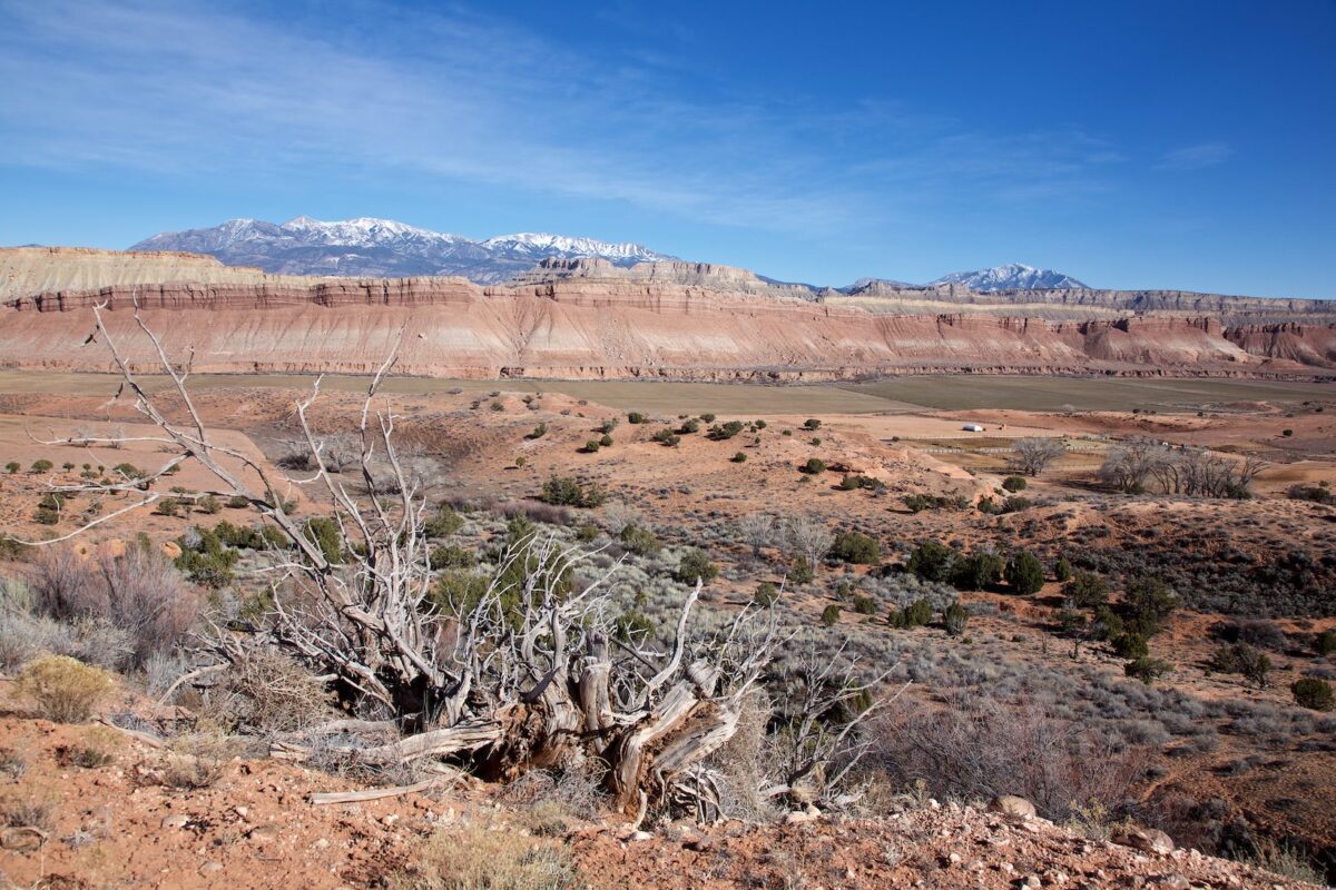
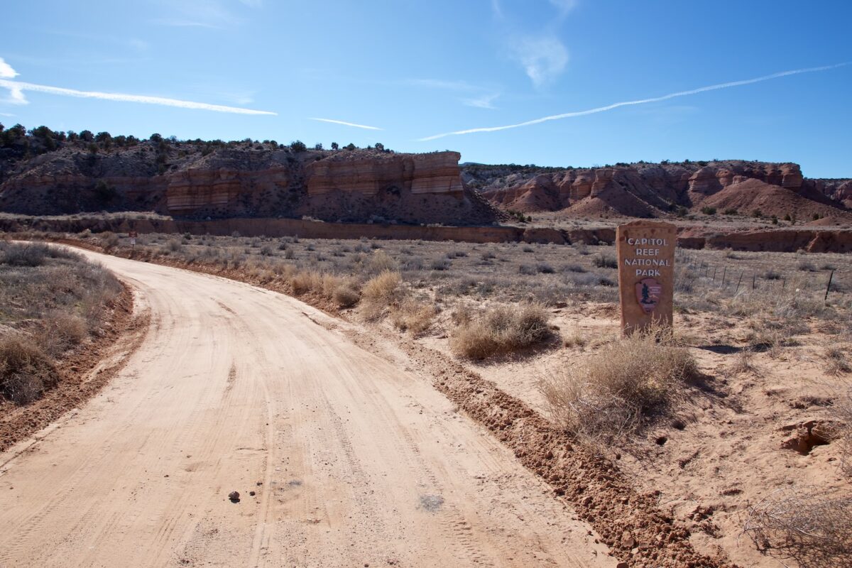
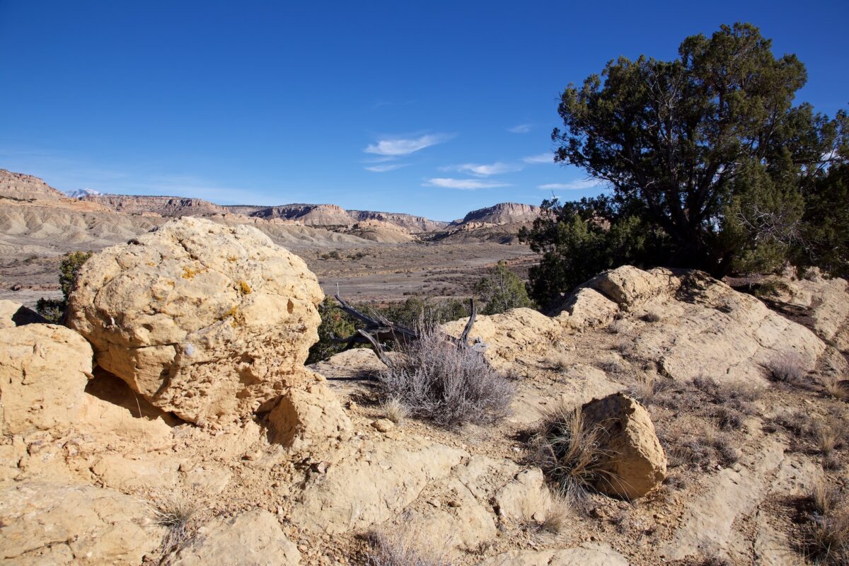
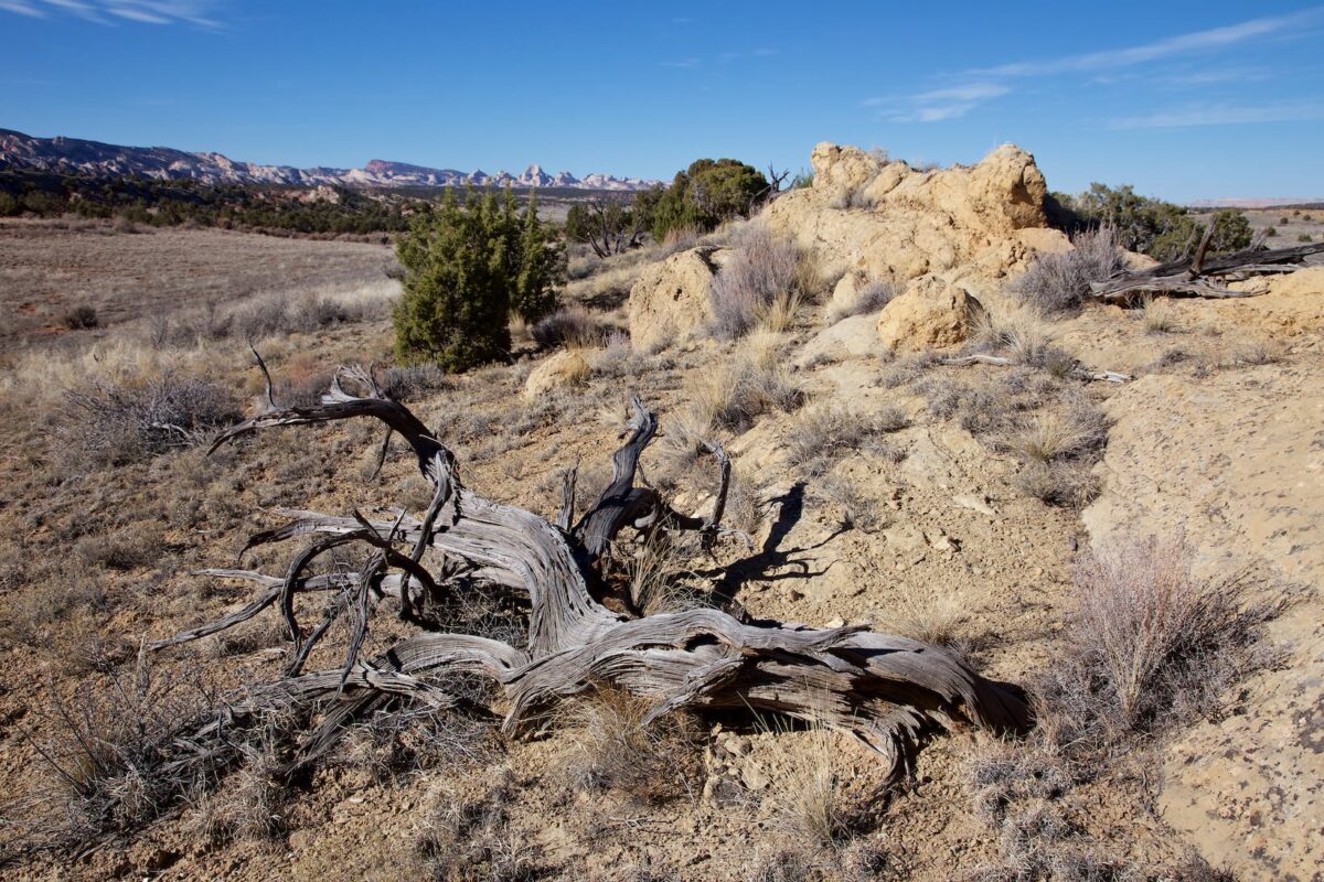
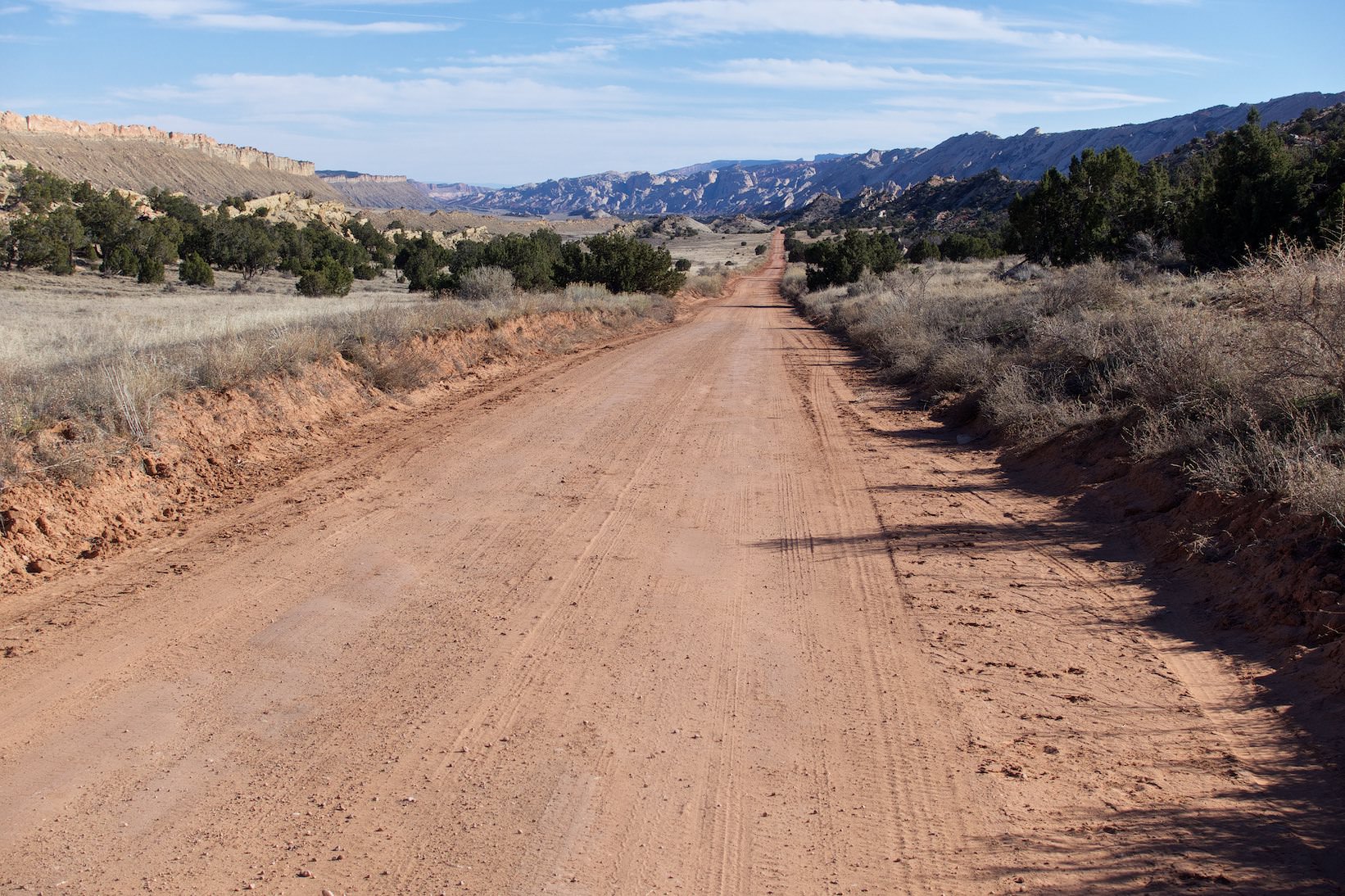
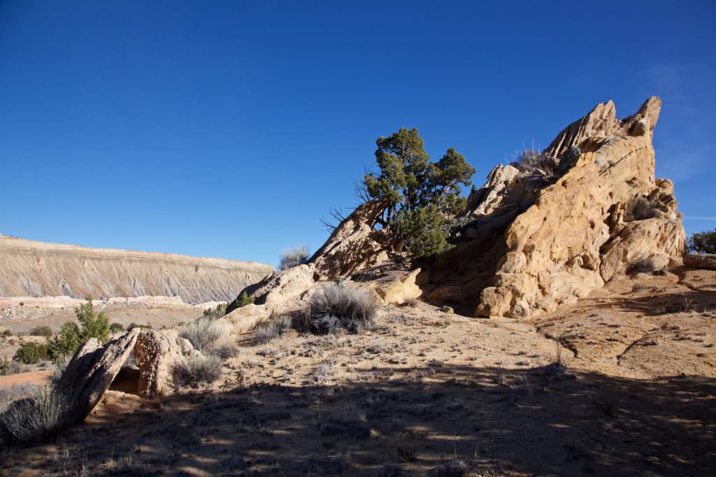
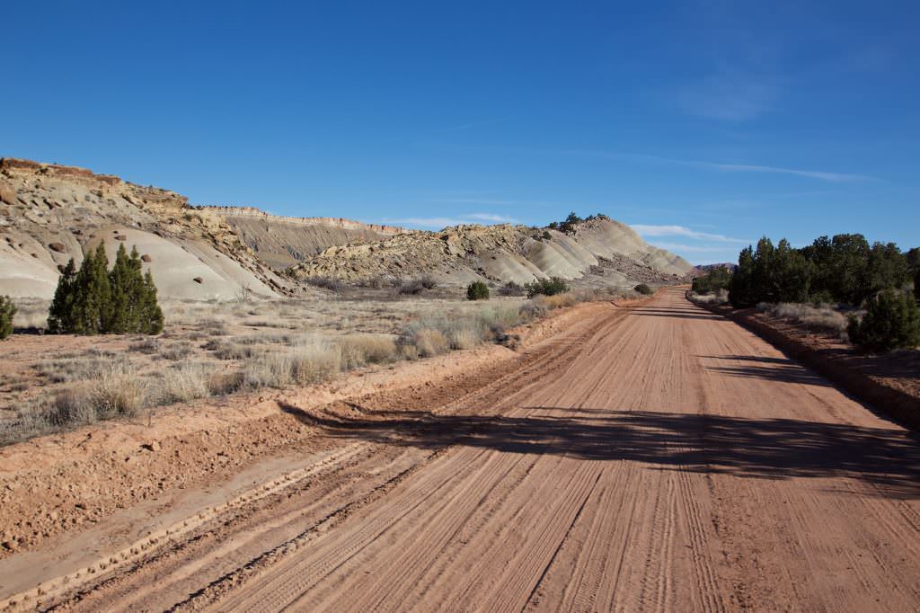
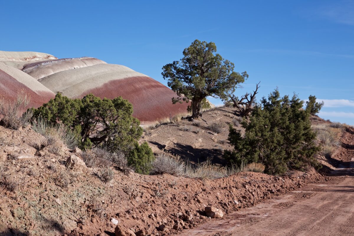
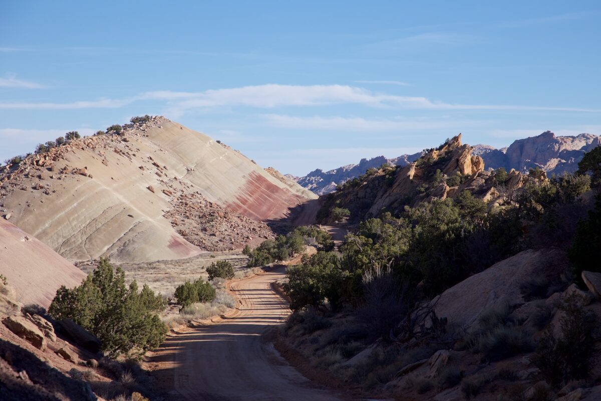
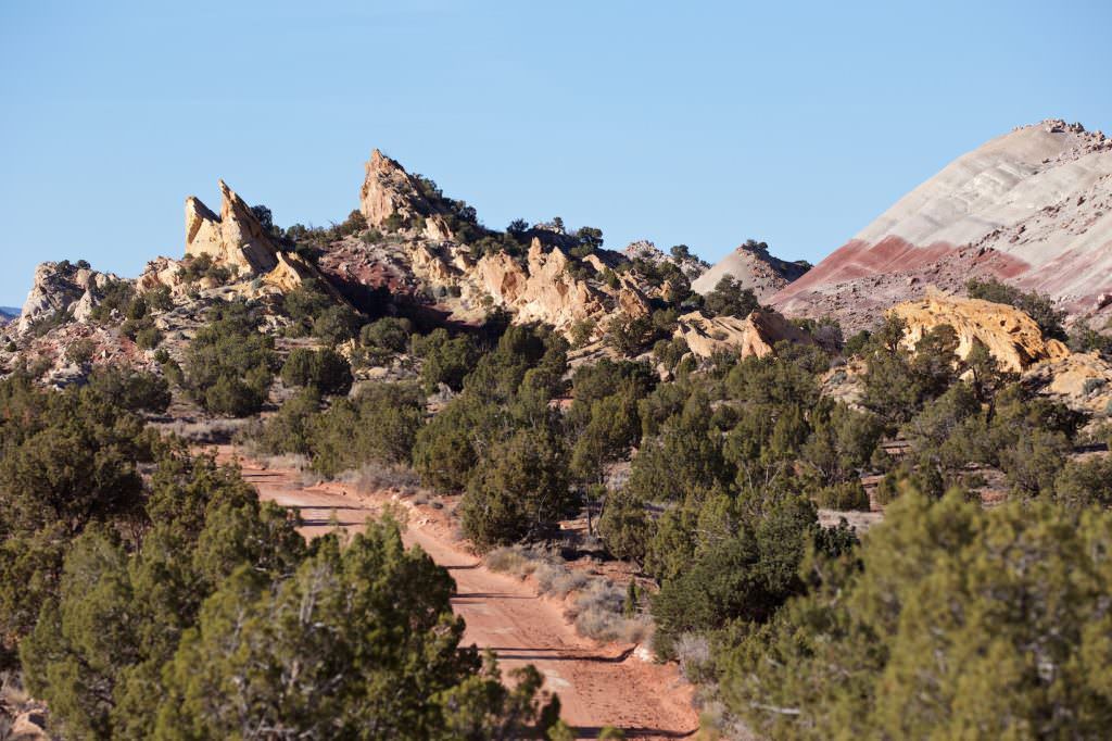
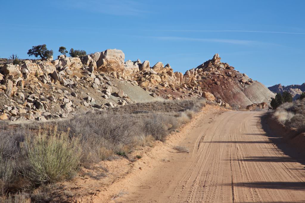
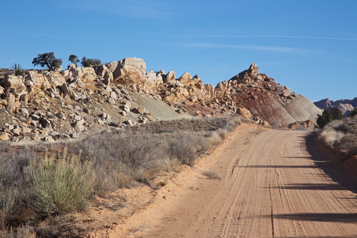
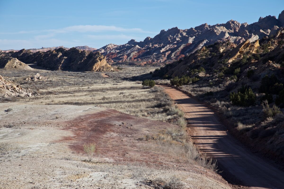
Description: The Nottom Bullfrog Road is an unpaved road that connects Capitol Reef NP in the north with the Glen Canyon National Recreation Area in the south. The road runs parallel to the Water Pocket Fold and offers a lot of great viewpoints. 34mi after starting north, the Burr Trail joins Nottom Bullfrog Road and the roads run south together until they join Highway 276, 8km north of Bullfrog. We have driven the road several times in different directions. During our visits it was always in a very good condition. You could have driven it with any passenger car. However, the conditions change very quickly during rain. Before driving on the road you should ask at one of the visitor centers (Escalante or Capitol Reef NM) about the road conditions. Very current information about the Nottom Bullfrog Road can also be found here .
Our rating: The Nottom Bullfrog Road is a great dirt road that should not be missed. On all our visits we were impressed by it, because you can always discover new things.
This page contains descriptions and photos of Nottom Bullfrog Road to its intersection with the Burr Trail.
☆☆☆☆☆Rated 4 out of 5
Note: On dirt roads, road conditions can change constantly. Therefore, we strongly recommend that everyone check the road conditions before each trip. The most current information is usually available on the BLM website in Escalante. GSENM-Road-Condition-Report


