Coordinates: Junction onto Hole in the Rock Road: Latitude 37.727640, Longitude -111.531404 Junction in the direction of Devils Garden: Latitude 37.587898, Longitude -111.409949 Parking lot:Latitude 37.585677, Longitude -111.414583
Our visits: So far 3 visits in November 2009, October 2014 and June 2023
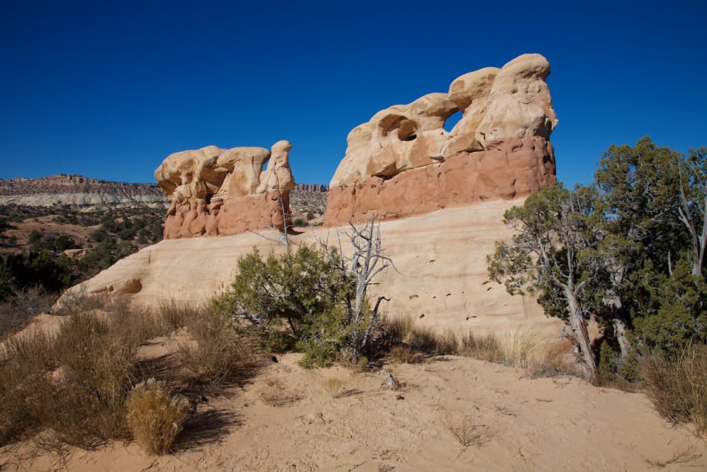
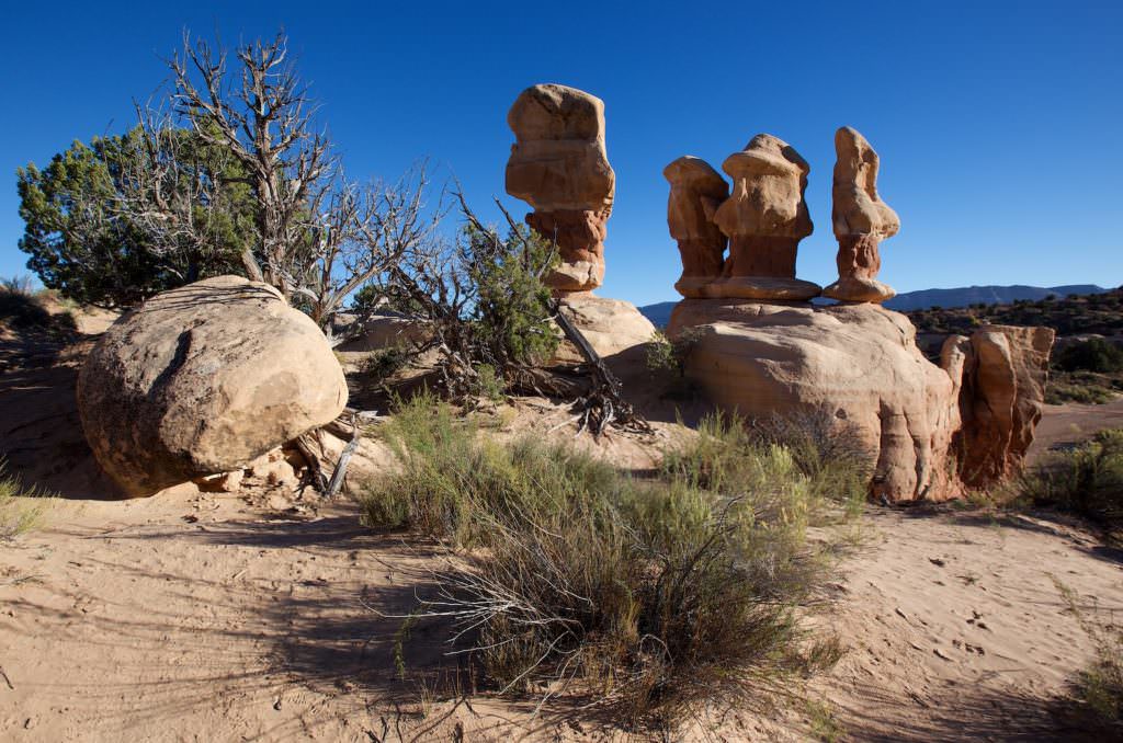
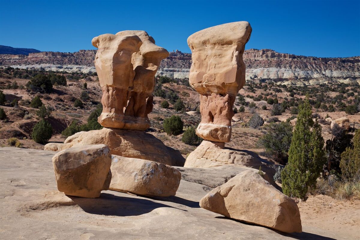
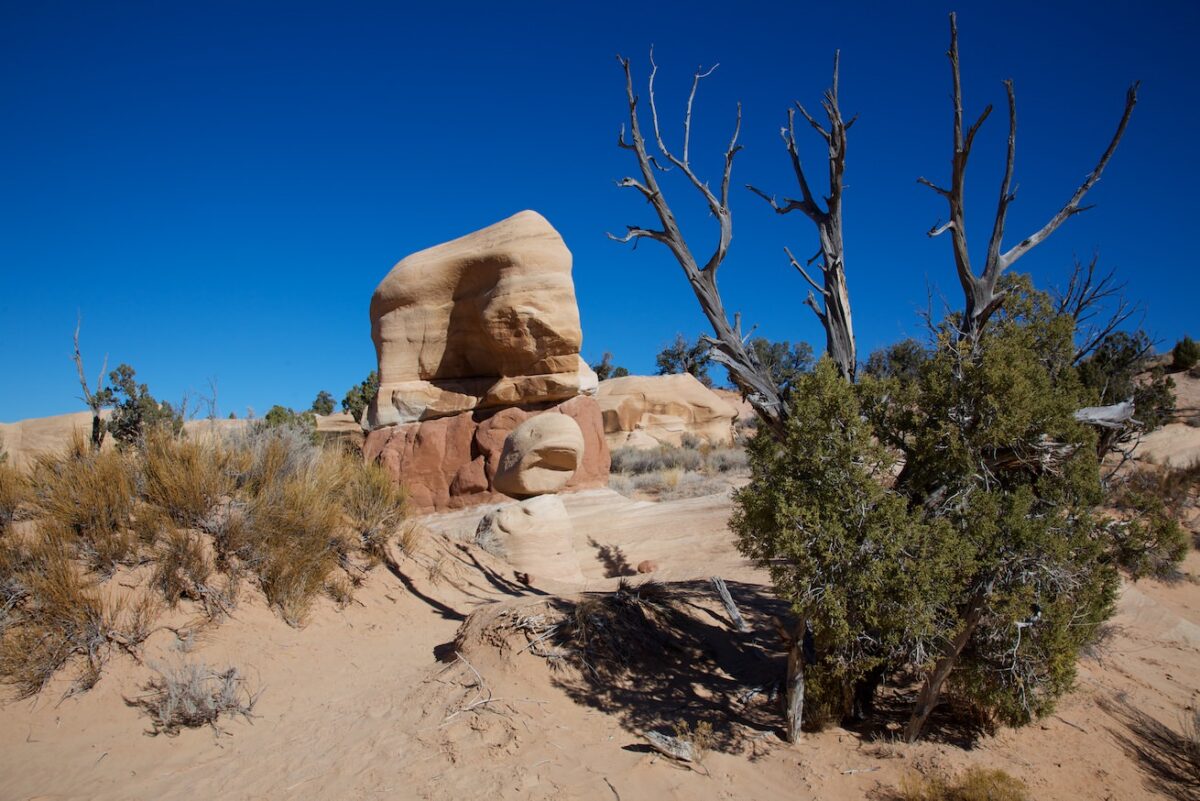
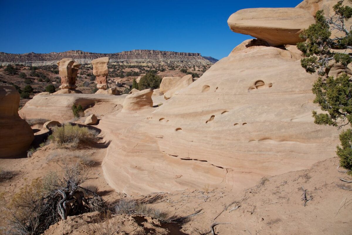
Devils Garden
Devils Garden
Devils Garden
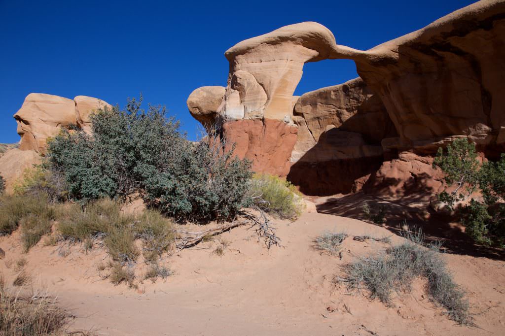
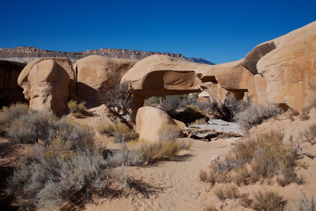
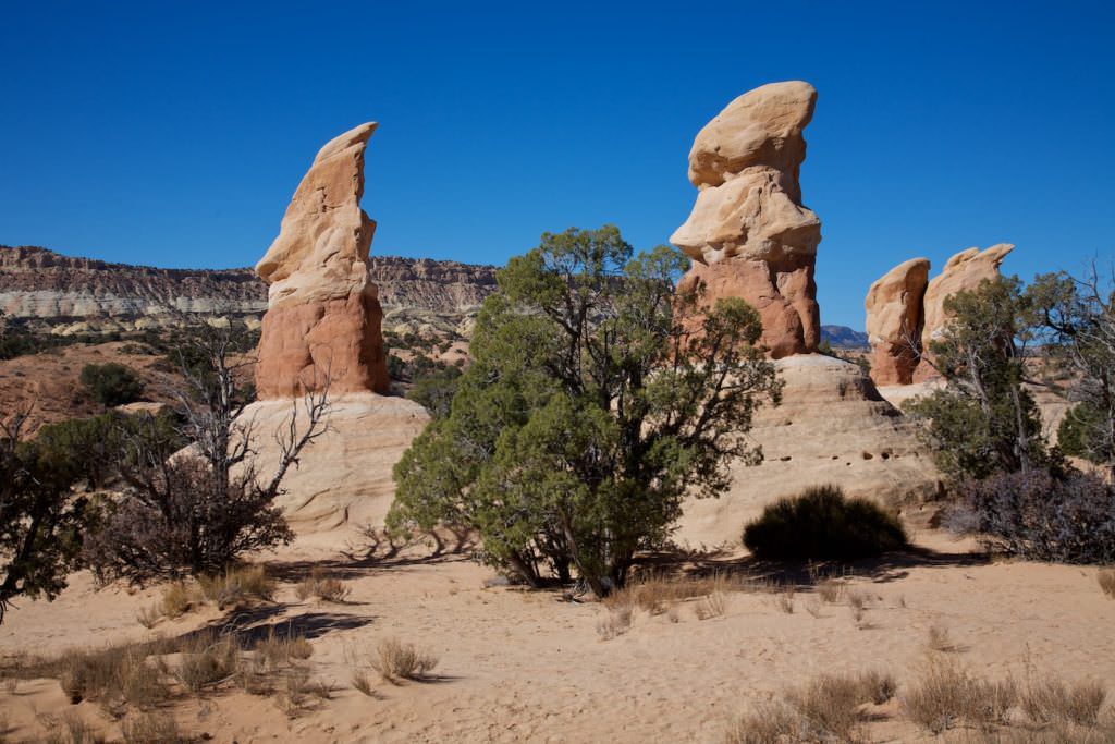
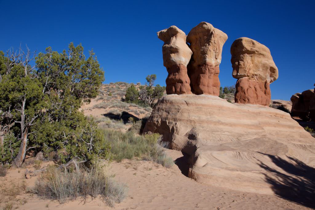
Metate Arch
Devils Garden
Metate Arch
Dance Hall Rock
Devils Garden
Description of how to get there: Another highlight at the Hole in the Rock Road is Devils Garden. You will reach the junction to Devils Garden after about 12.4mi on the unpaved Hole in the Rock Road on the right hand side. Up to here the road is mostly in a very good condition and should be passable with a normal car. To be on the safe side, you can check the road condition at the BLM in Escalante.
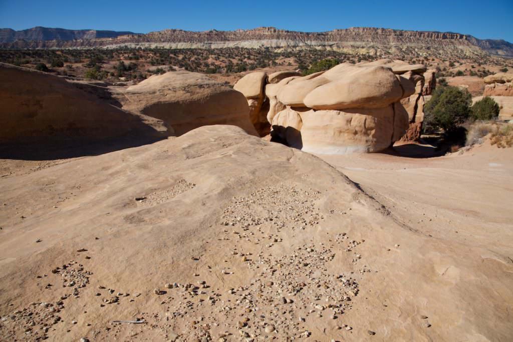
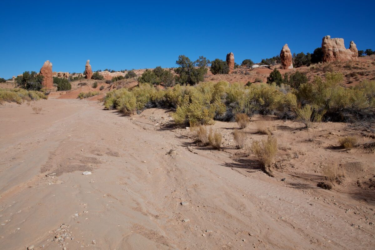
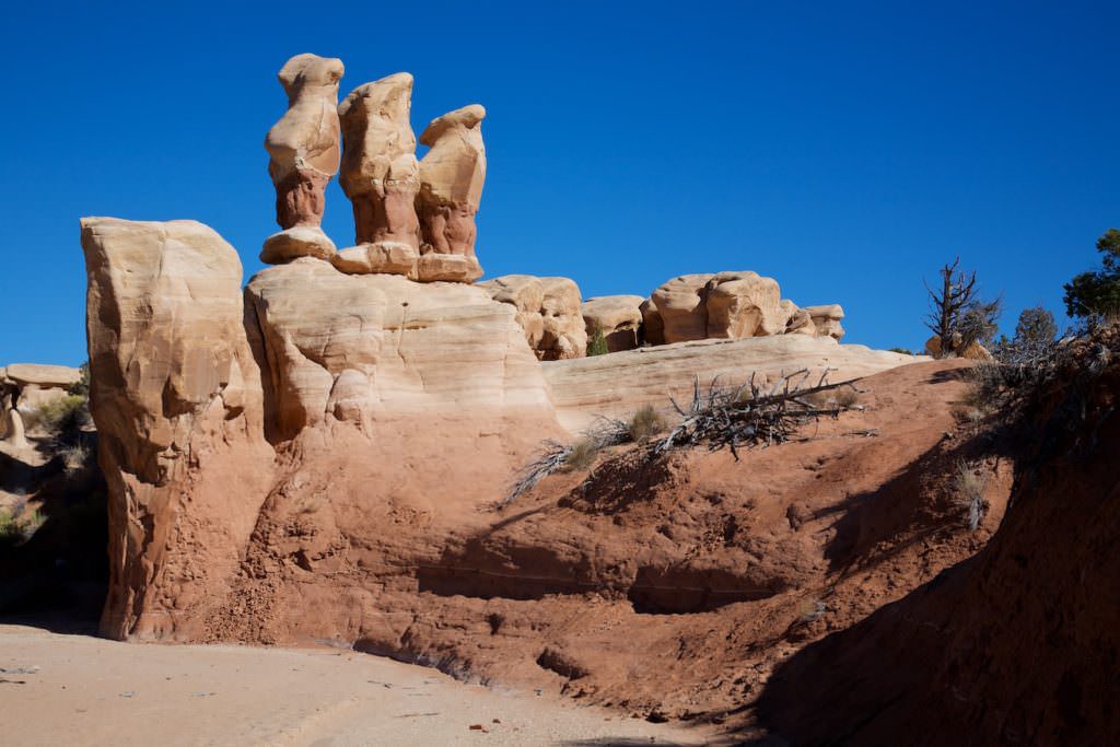
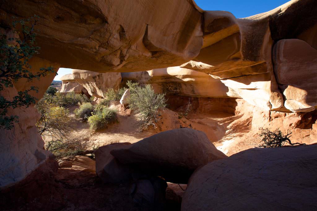
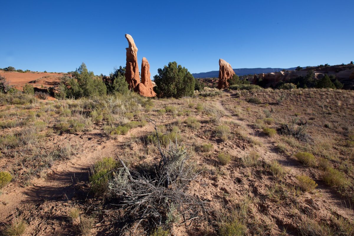
Description: The area of Devils Garden is relatively small. There are no predetermined trails, you can move more or less freely among the rocks. Hiking is very easy, there are almost no height differences to overcome.
Our rating: Devils Garden is certainly one of the most visited attractions on the Hole in the Rock Road. Nevertheless, you don't meet masses of people here, even if you are usually not completely alone. Devils Garden is great and for us always a favorite location when we are here in the area and have a few hours left.
☆☆☆☆☆Bewertet mit 4 von 5
Note: On dirt roads, road conditions can change constantly. Therefore, we strongly recommend that everyone check the road conditions before each trip. The most current information is usually available on the BLM website in Escalante. GSENM-Road-Condition-Report


