Coordinate: Junction off the highway:Latitude 39.274693, Longitude -118.413080 Parking lot:Latitude 39.290351, Longitude -118.415614
Our visits: So far 1 visit in September 2o19
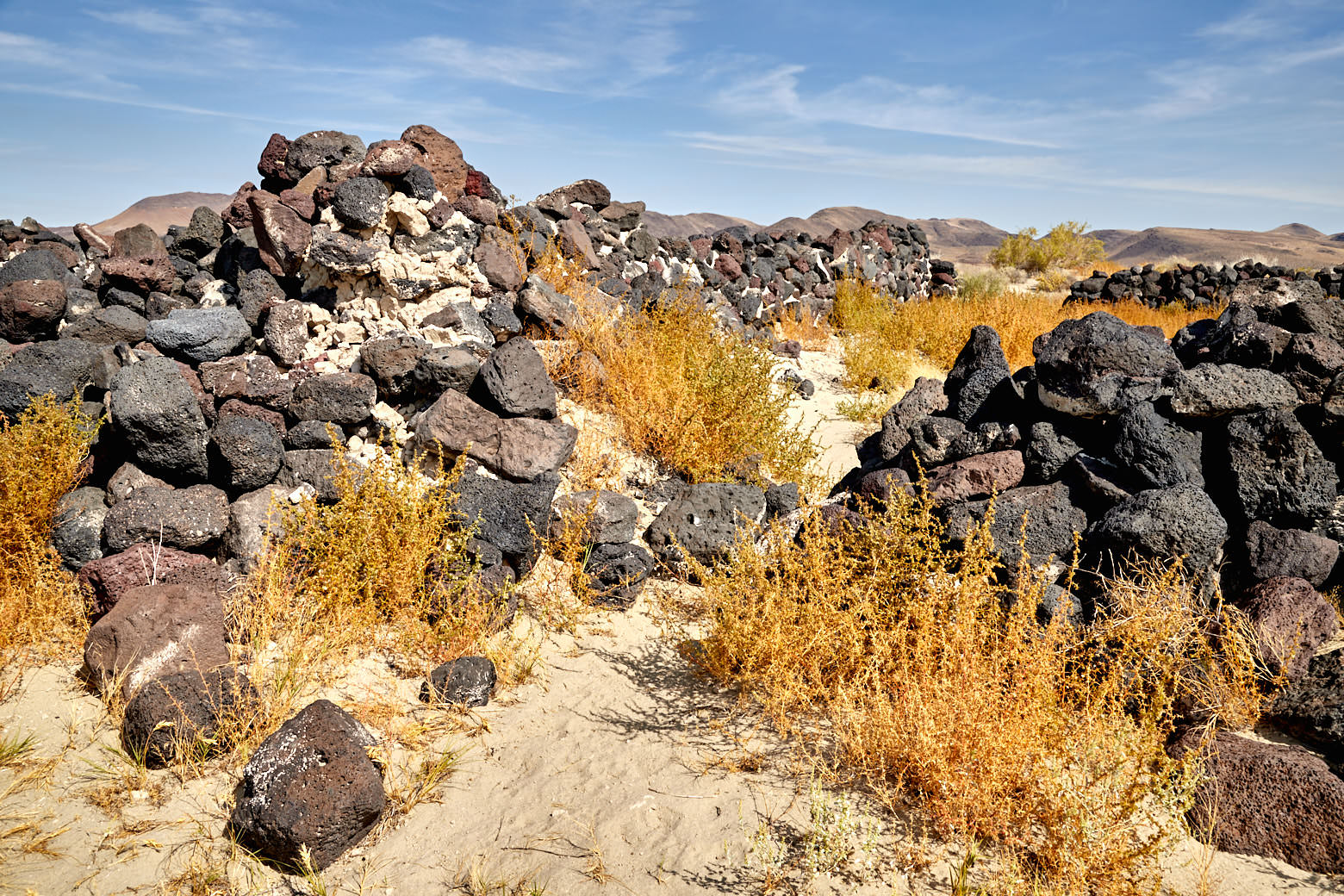
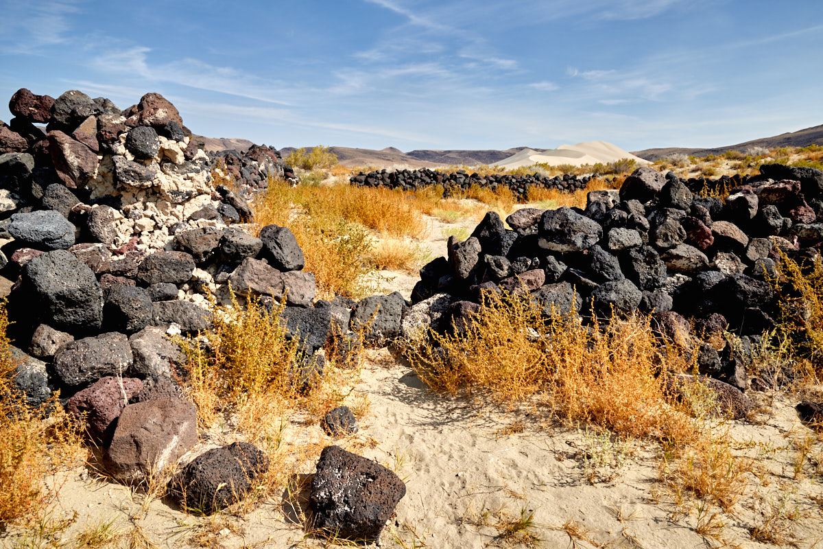
Sand Springs Pony Express Station
Description: Here at Sand Springs are the remains of one of the 153 Pony Express stations that existed along the trail of the same name.
The Pony Express Trail was a mail transport service that ran from Missouri in the east to Sacramento in the west in 1860. The entire trail was 1927mi long and featured a station every 9-12mi where horses were changed. The riders were all under 18 years old and weighed no more than 132lb. This ensured the fastest possible transport of mail. One of the most famous riders was Buffalo Bill. The transport of the mail took about 10 days and required 120 horses and 40 riders.
The Pony Express operated for only one year before being replaced by a telegraph line.
To get to the remains of the station, take a short, unpaved spur road from the highway to the parking lot. A trail a few hundred meters long leads from there to the former station.
Our rating: The place itself is not particularly spectacular, because there are only a few stones visible. But because of the interesting history around it was quite interesting. A nice stop to stretch your legs.