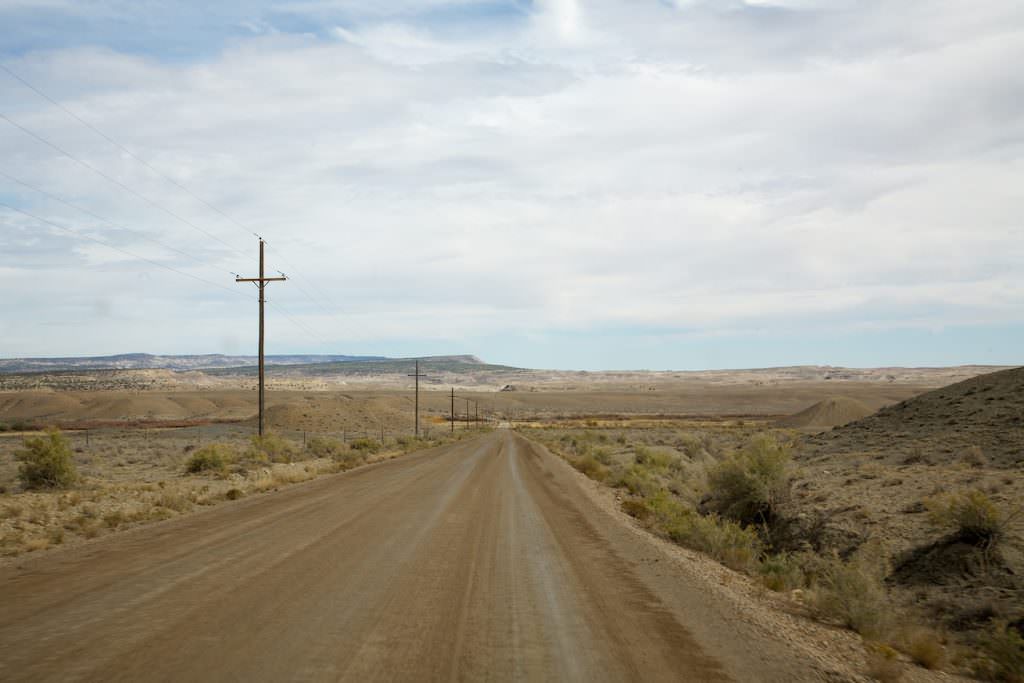
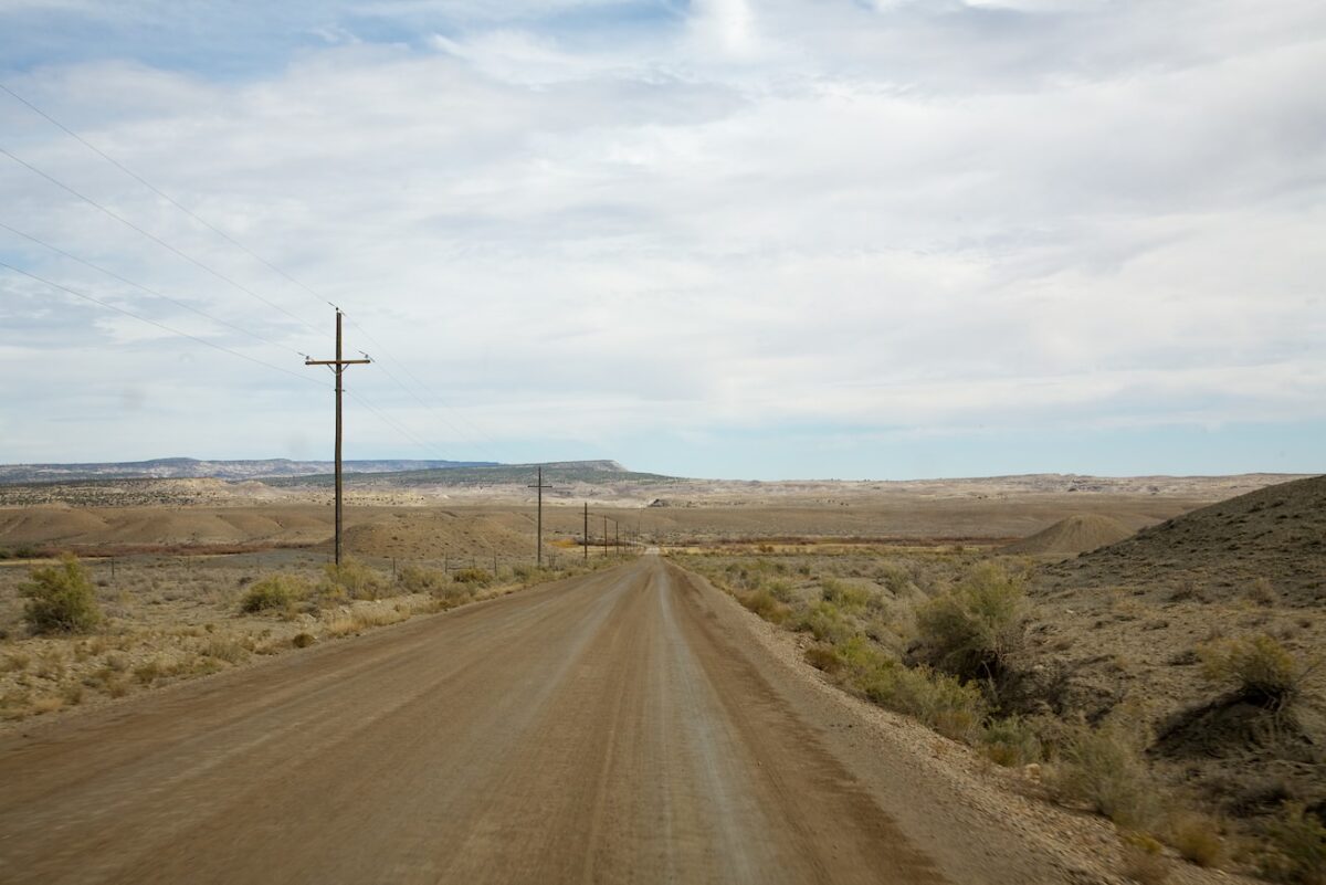
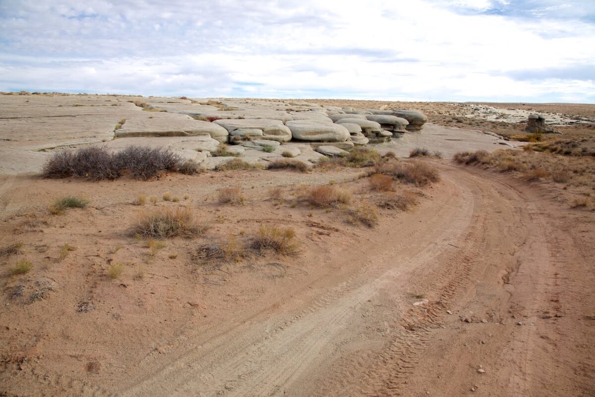
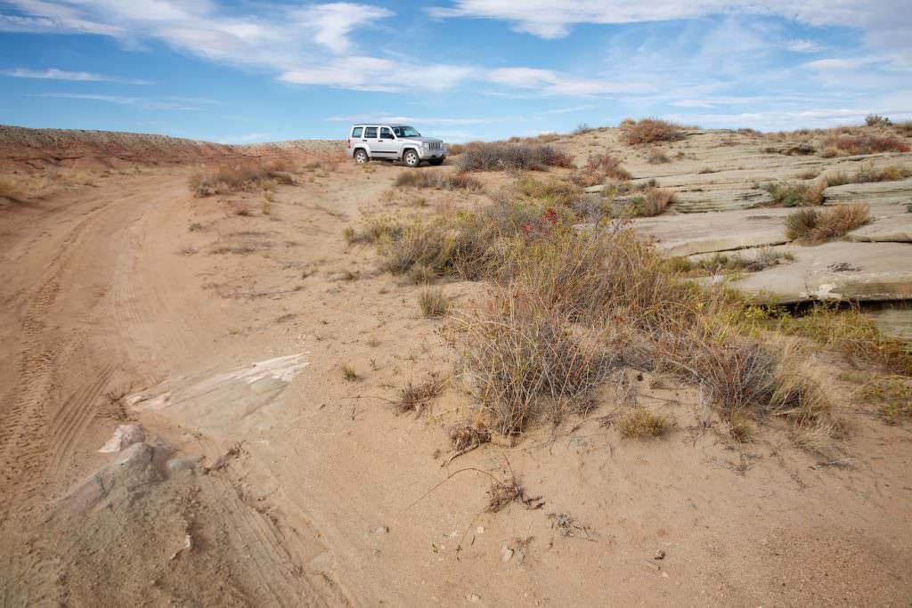
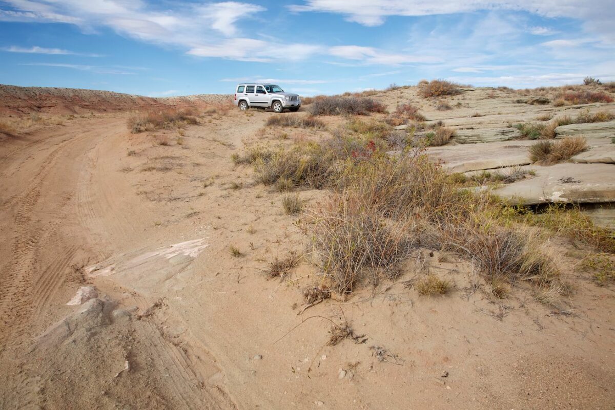
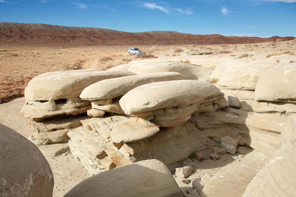
Description of how to get there: Coming from the north, turn left onto Green River Cutoff Rd just before the small town of Castle Dale. Coordinate: Latitude 39.220835, Longitude -110.997314. For a dirt road, the road is in excellent condition. Something like a dirt "road highway". After 10.3mi you turn right onto Hambrick Bottom Rd. Coordinate: Latitude 39.191164, Longitude -110.836297. Follow this road for another 3.1mi until you reach Coordinate: Latitude 39.152781, Longitude -110.855542. a small access road on the left that leads to the tailhead of Hamburger Rocks. Coordinate: Latitude 39.150476, Longitude -110.854997. From Hambrick Bottom Rd the road condition became noticeably worse until the trailhead. The access road to the trailhead was more of a field path than a road. Higher ground clearance was quite helpful here. If necessary, you can hike the few hundred meters.
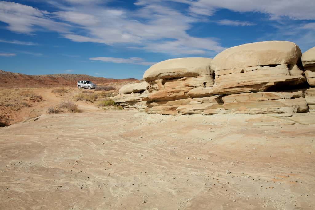
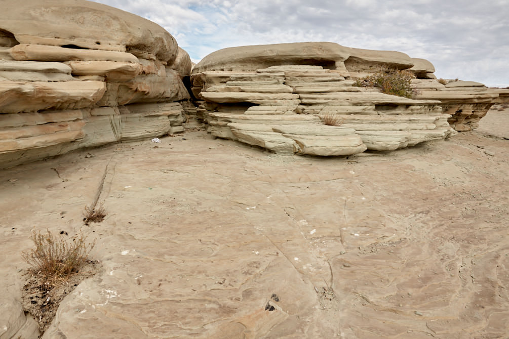
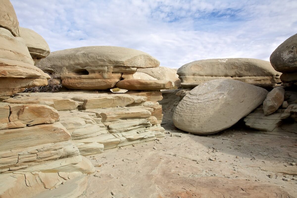
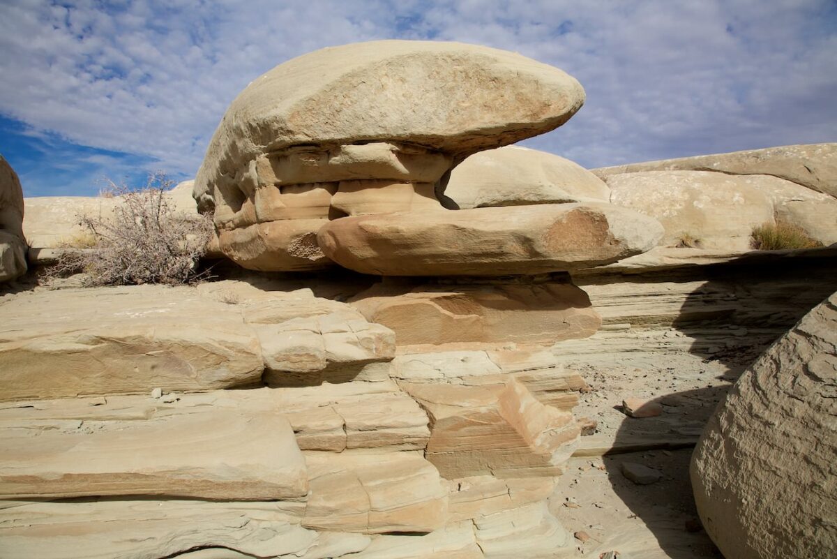
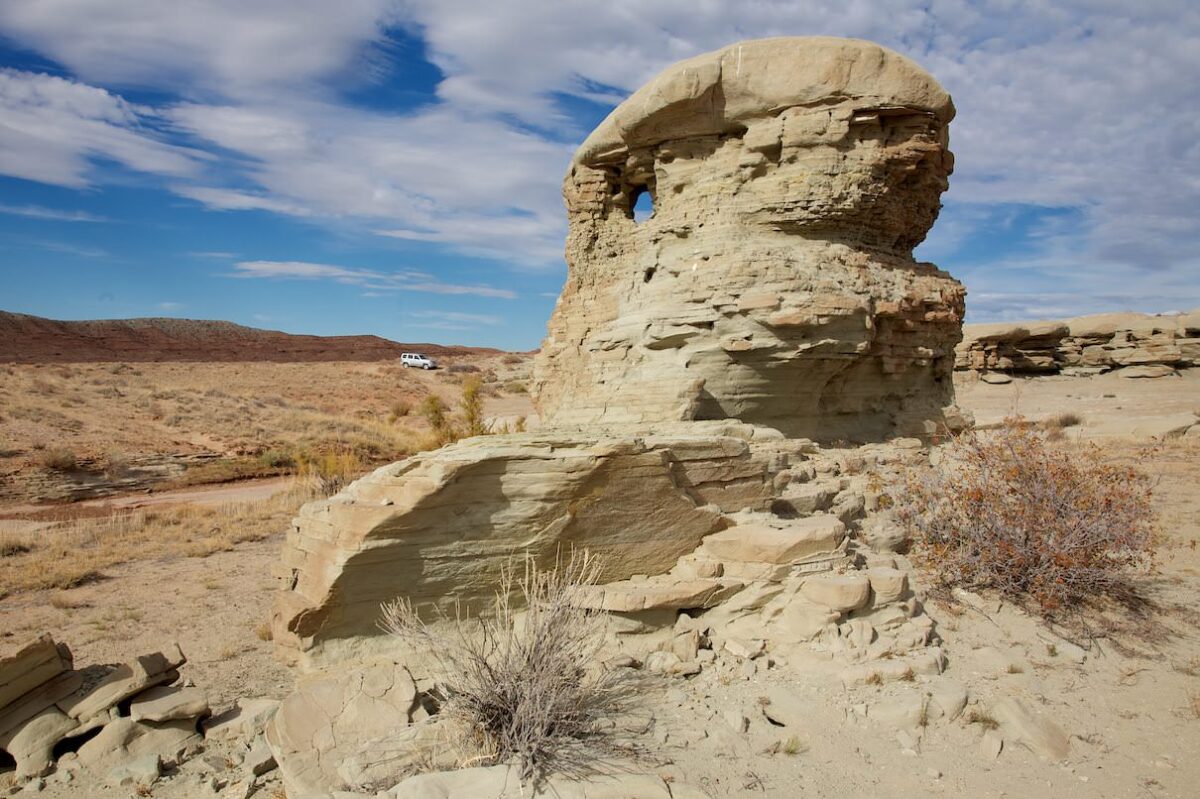
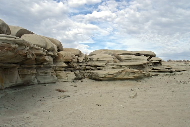
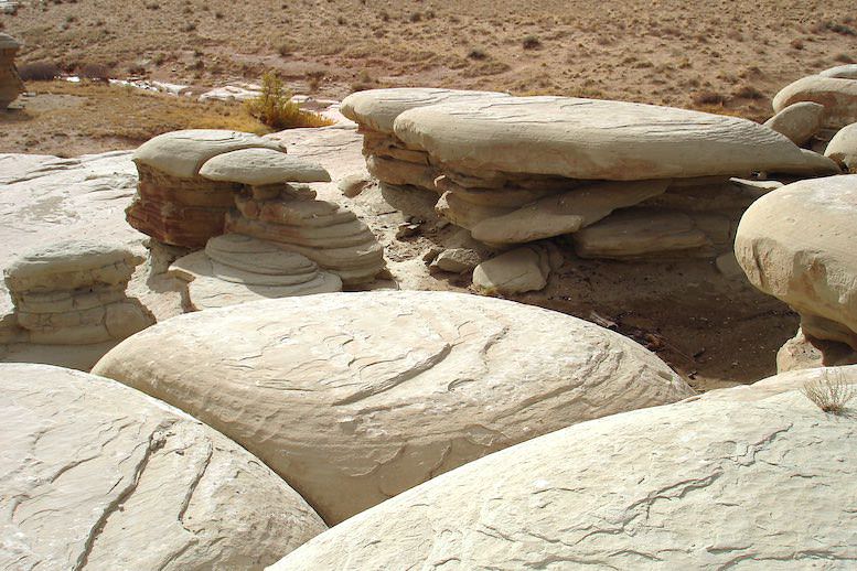
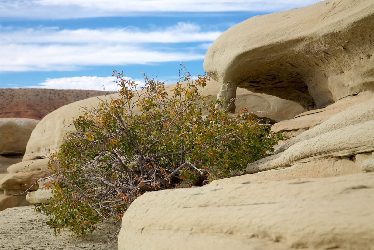
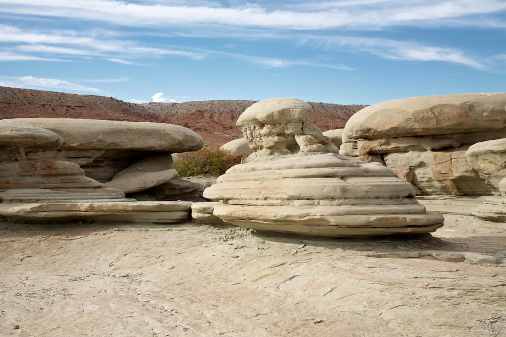
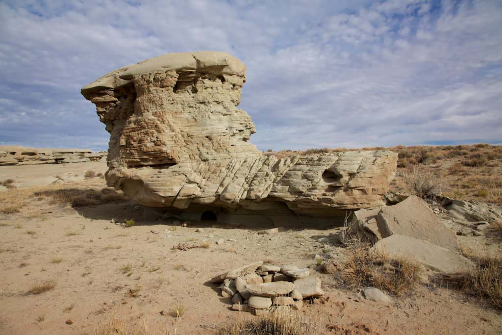
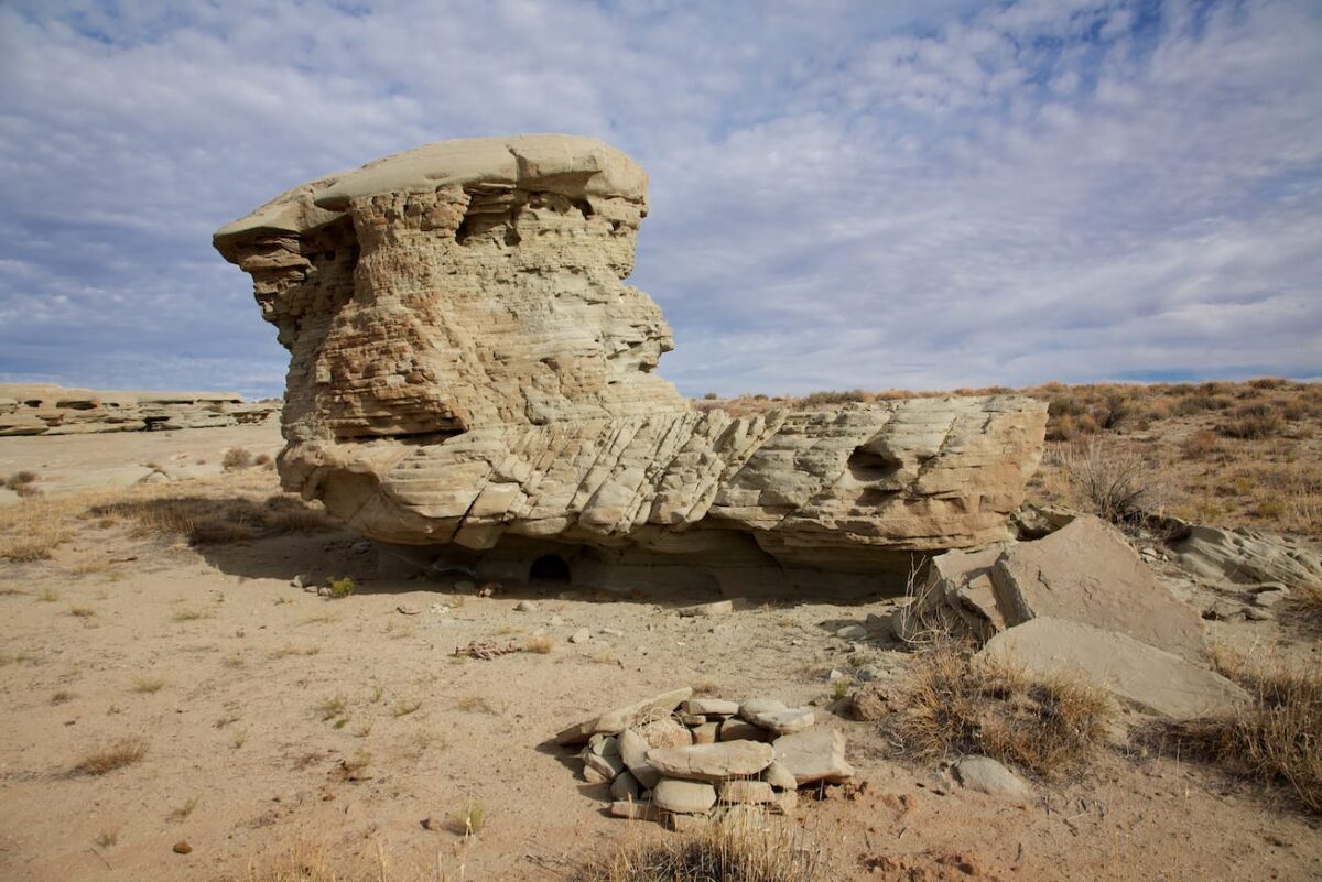
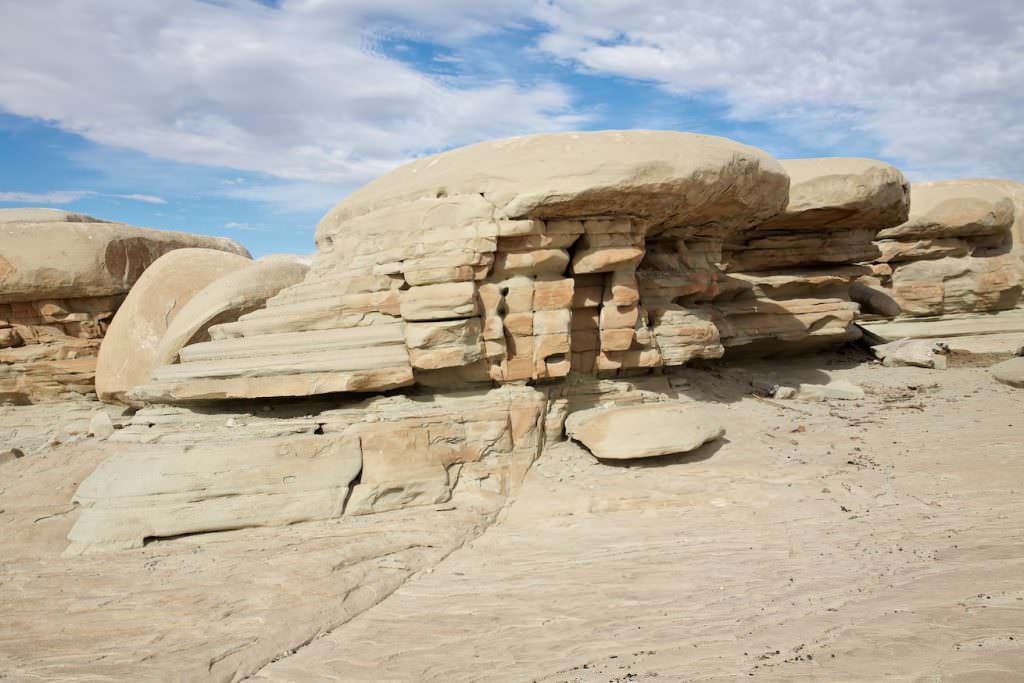
The area is very small; the Hamburgers are limited to just a few examples. The terrain is flat, so it’s very easy to get around here.
Our rating: Quite honestly, we had expected a little more from the photos I had previously seen. In the photos I thought these stones, which really remind a little of hamburgers, totally cool. On site it was then OK - but no more. We weren't very impressed by the location. The Rocks can be well connected with the Wedge Overlook, so you can already drive by, if you are here anyway in the area.
☆☆☆☆☆Rated 3.5 out of 5
Note: On dirt roads, road conditions can change constantly. Therefore, we strongly recommend that everyone check the road conditions before each trip. We do not recommend driving on unpaved roads before, during or shortly after rain or snowfall.


