Coordinates: Cottonwood Canyon Road turnoff: Breite 37.253936, Länge -111.910175 Our turnaround point: Breite 37.247768, Länge -111.904747
Our visits: So far 1 visit in April 2022
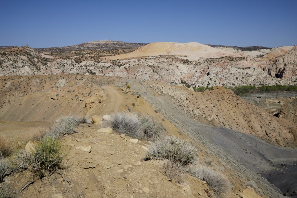
Brigham Plains Road
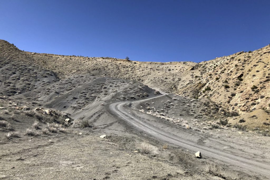
Description: The Jeep Road turns east from Cottonwood Canyon Road at the Yellow Rock parking lot and leads up to Bigham Plains, down into Coyote Canyon, and back to the Cottonwood Canyon Road. When we visited in April 2022, the dirt road was in good condition; however, it is very steep and so the road may not be suitable for every car traveling on CCR. Turning around is hardly possible on the narrow road so that you have to roll backwards in case of an emergency. We drove down the road only as far as a hilltop from which there was a great view of Yellow Rock.
Our rating: With a suitable car, this short detour is worthwhile in any case. The view onto Yellow Rock and the surrounding area is great.
☆☆☆☆☆Rated 3.5 out of 5
Note: On dirt roads, road conditions can change constantly. Therefore, we strongly recommend that everyone check the road conditions before each trip. The most current information is usually available on the BLM website in Escalante. GSENM-Road-Condition-Report
Brigham Plains Road
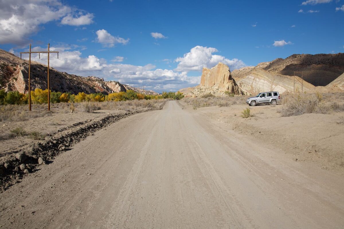
Parking lot for Yellow Rock and the turnoff to the Jeep Road – northern end of Brigham Plains Road
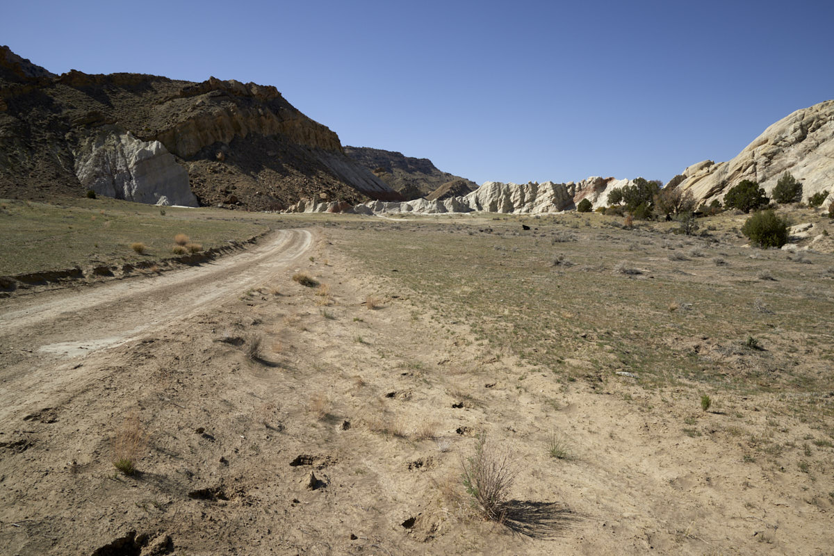
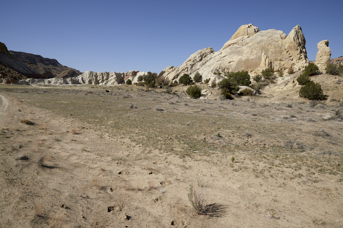
Brigham Plains Road
Brigham Plains Road
Brigham Plains Road
Uphill road. Four-wheel drive was an advantage here.


