Our visits: So far 2 visits in November 2009 and October 2014
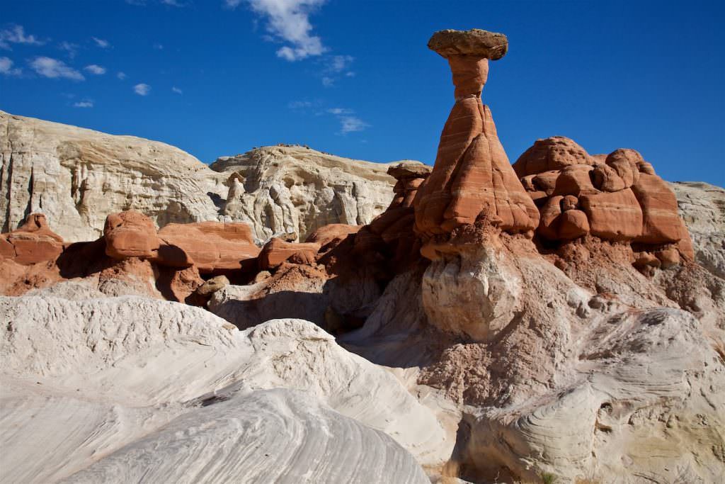
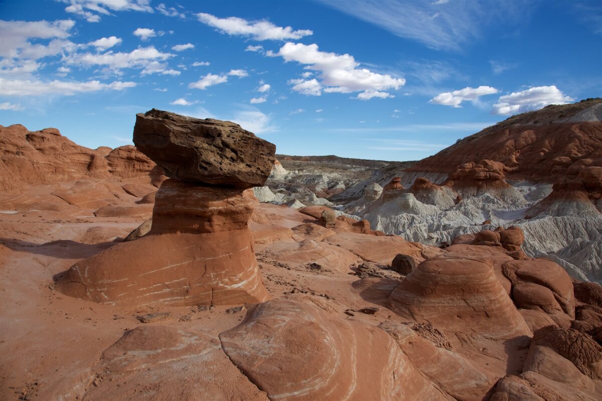
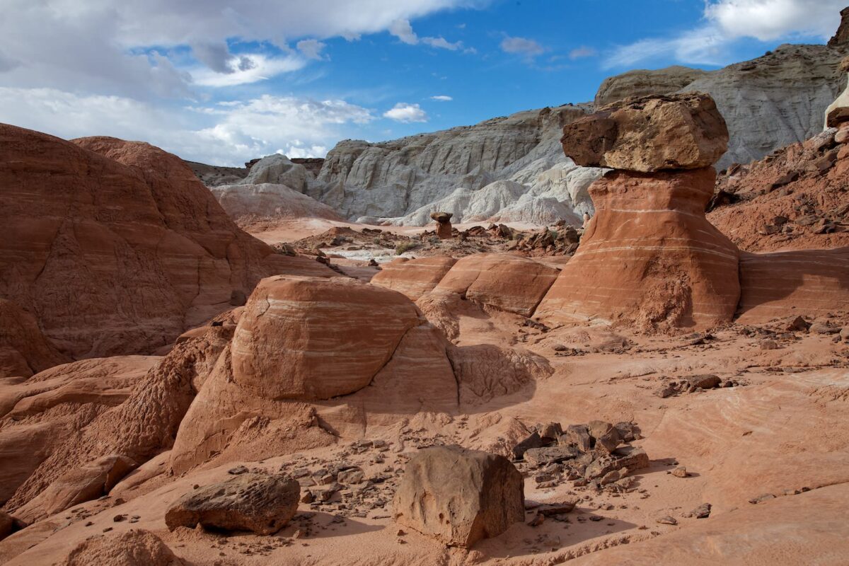
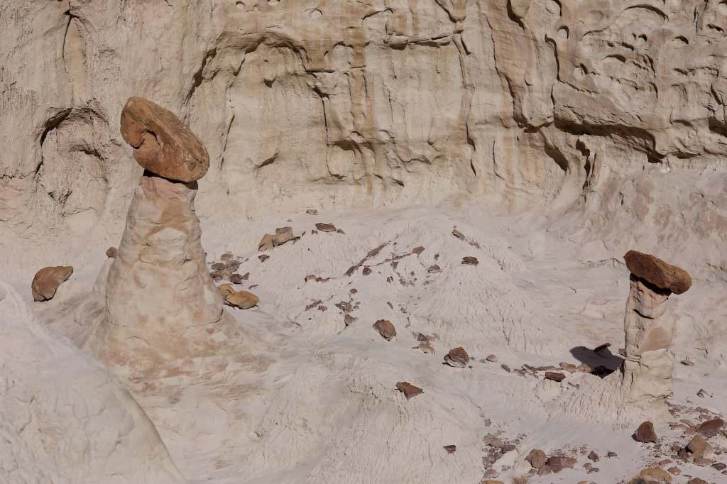
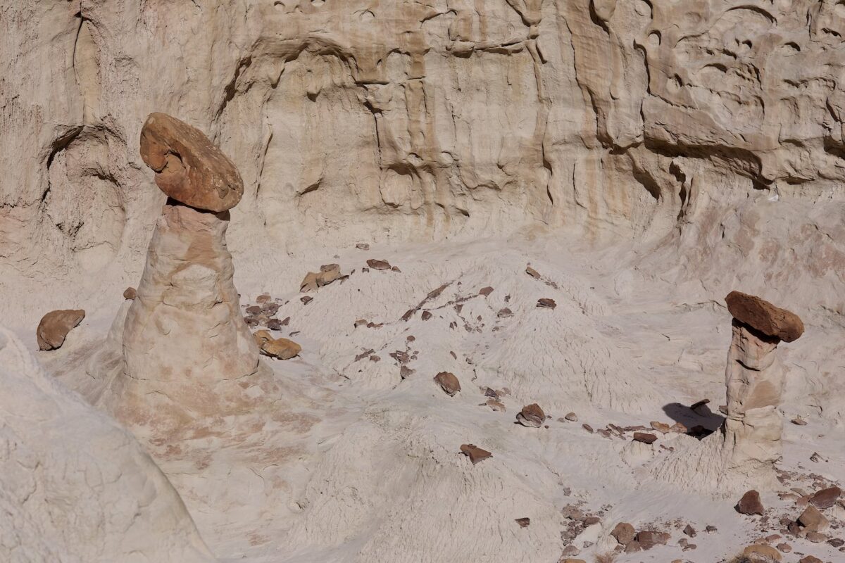
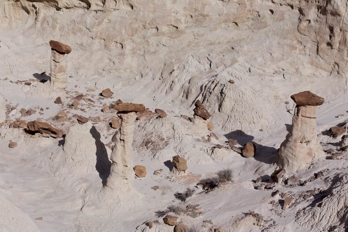
Toadstool Hoodoos
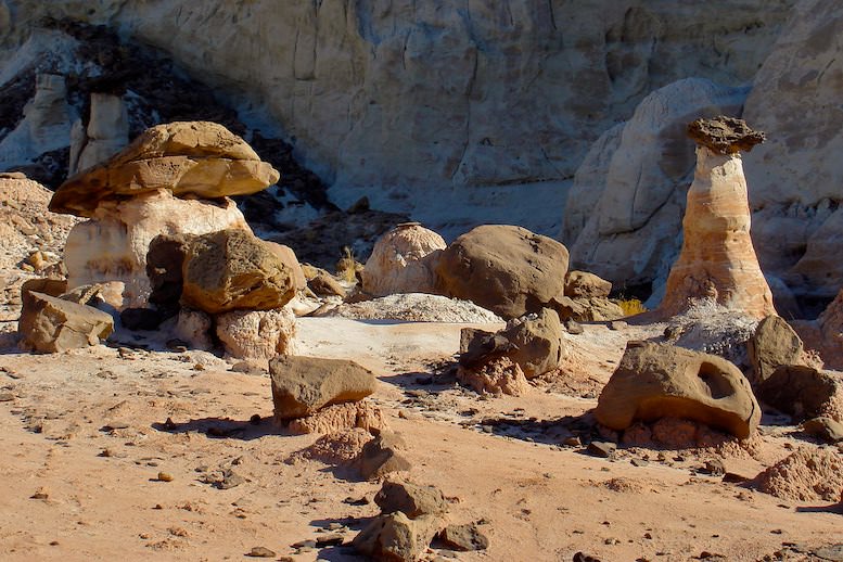
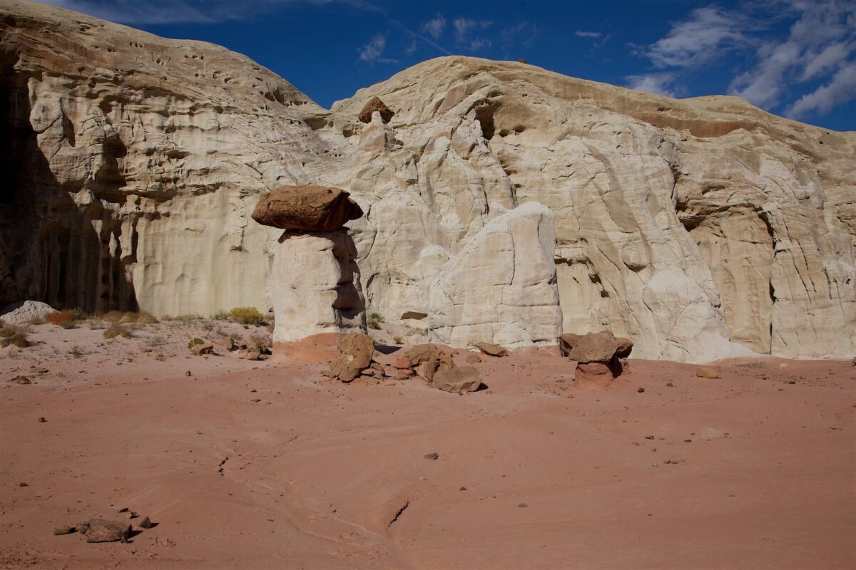
Rock formation at trailhead
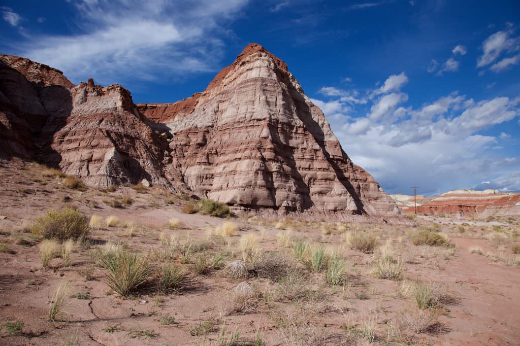
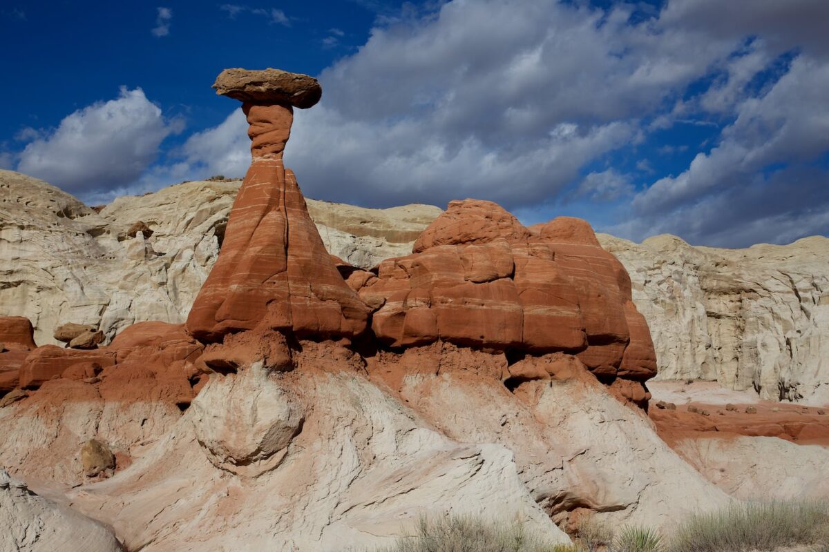
Toadstool Hoodoos
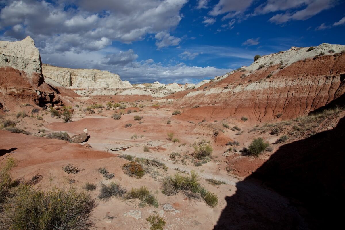
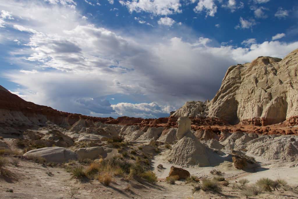
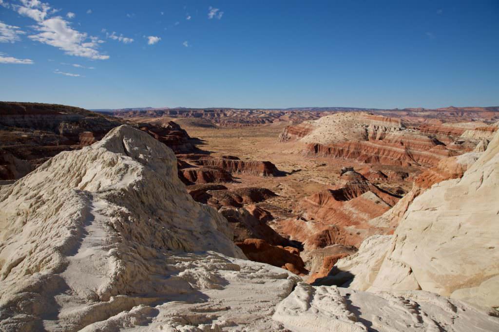
View over the trail towards Toadstool Hoodoos
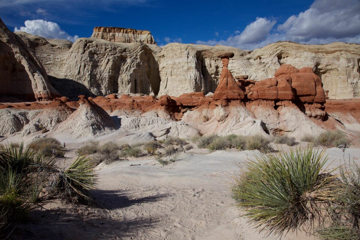
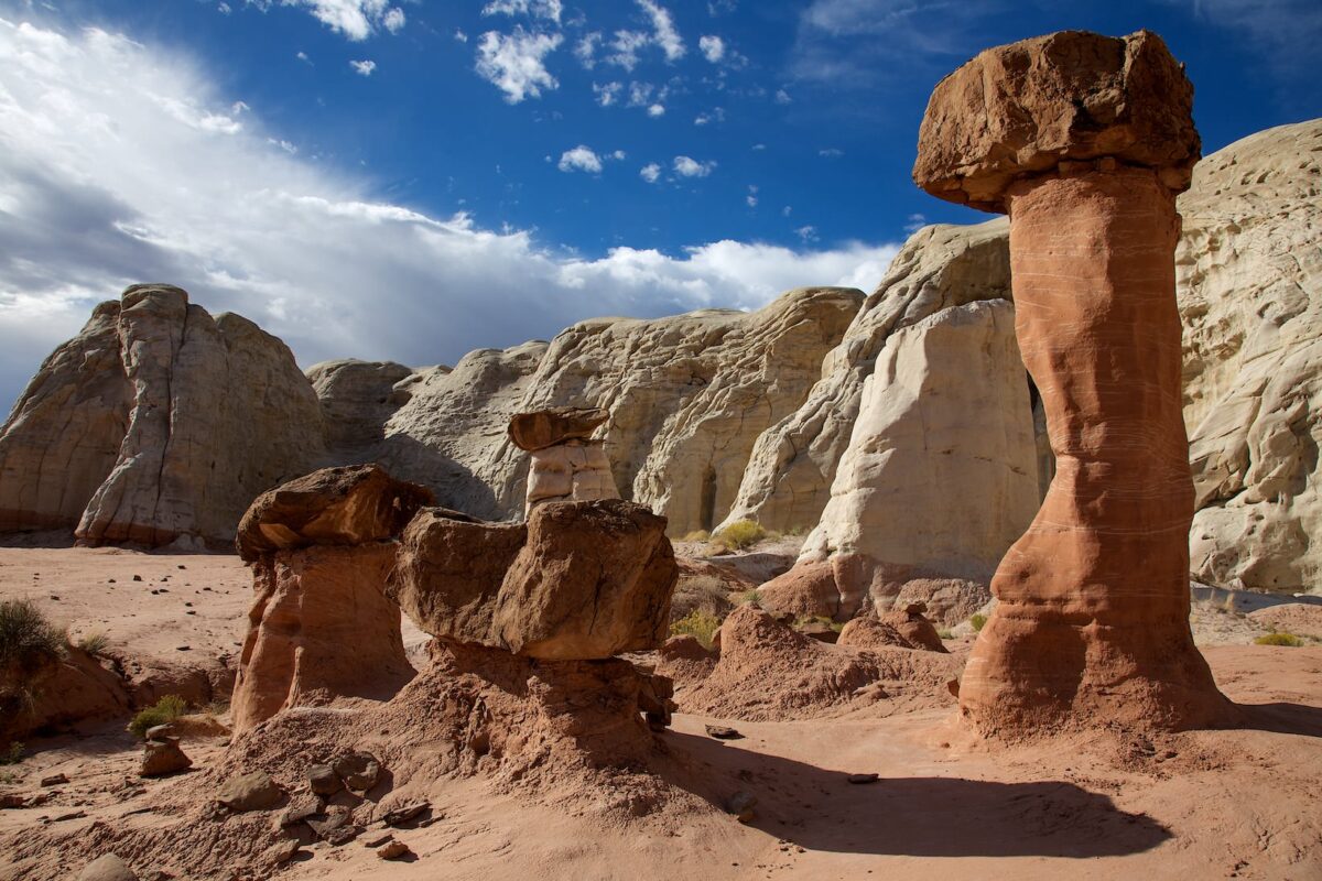
Toadstool Hoodoos
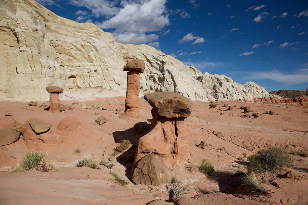
Toadstool Hoodoos
Toadstool Hoodoos
Toadstool Hoodoos
Description: The trailhead is just off Highway 89, where there is a parking lot and a sign with a brief description of the hike. The hike is not a big problem. It's a very gentle uphill. You hike north along the wash for about a mile to get directly to the Toadstool Hoodoos. At the hoodoos there are no predetermined trails, you roam around and explore the area and the stone formations. But in this area you should not miss to visit the back part of the hoodoos. For this you hike from the main group of hoodos further to the west. There is much more to discover here.
Our rating: A very accessible place to see great hoodoos. Like everywhere in the southwest, the places that are easily accessible are also no longer very lonely. However, this is still a place where you can, most of the time, still enjoy nature in peace. We can definitely recommend the Toadstool Hoodoos.


