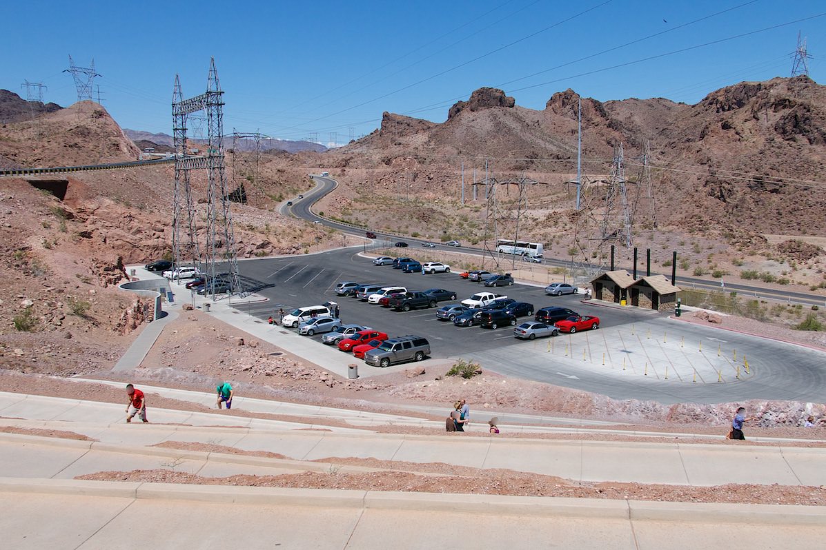
Coordinate: Parking lot to get on the bridge:Latitude 36.015147, Longitude -114.745852
Everything you need to know about the Dam tours can be found on the official webpage.
Our visits: So far 6 Besuche im August 1992, April 1997, November 2009, Mai 2013, April 2022 und Juni 2023
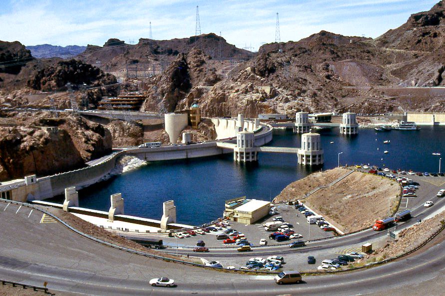
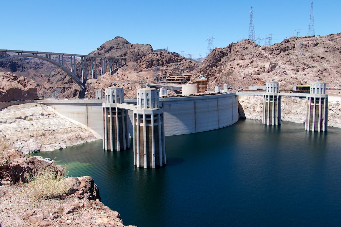
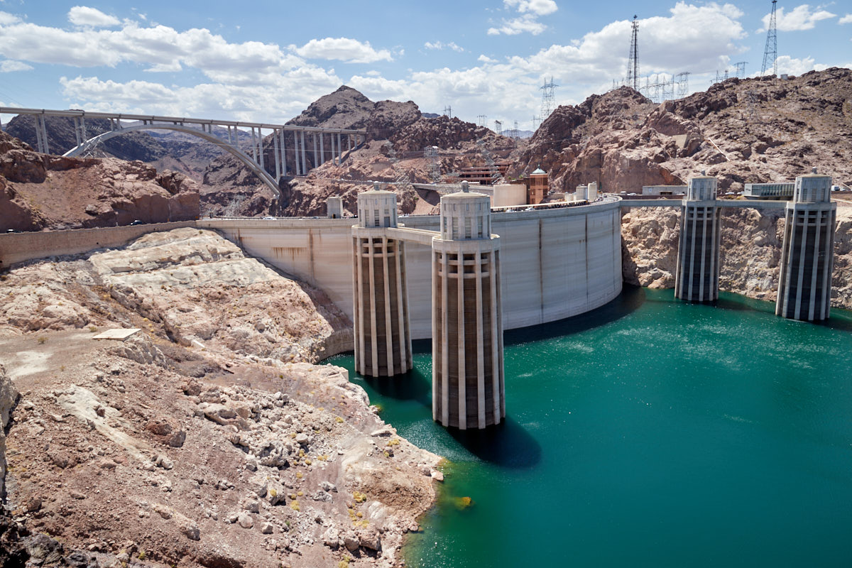
Lake Mead water level April 1997
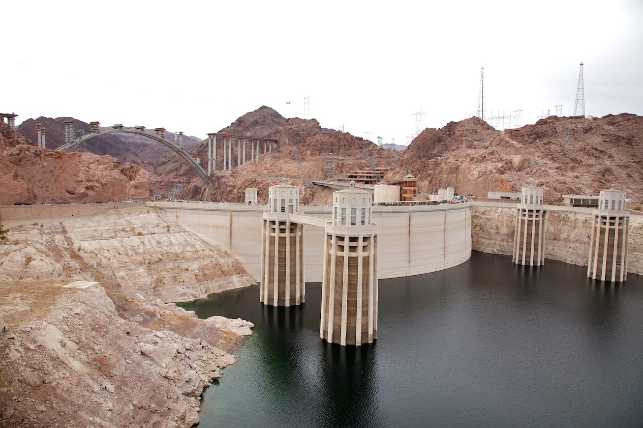
Lake Mead water level November 2009
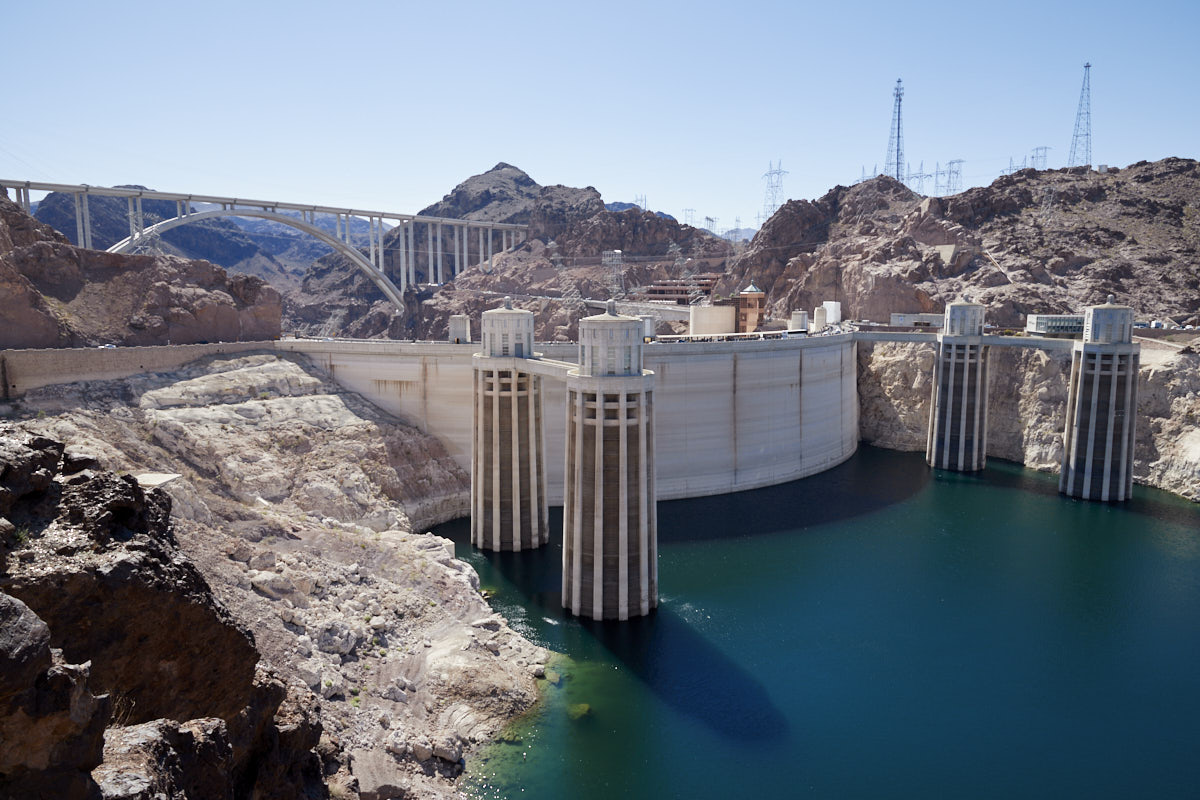
Lake Mead water level April 2022
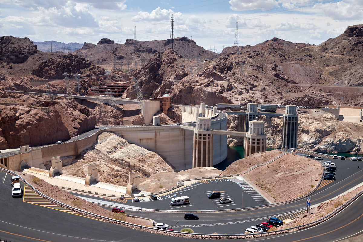
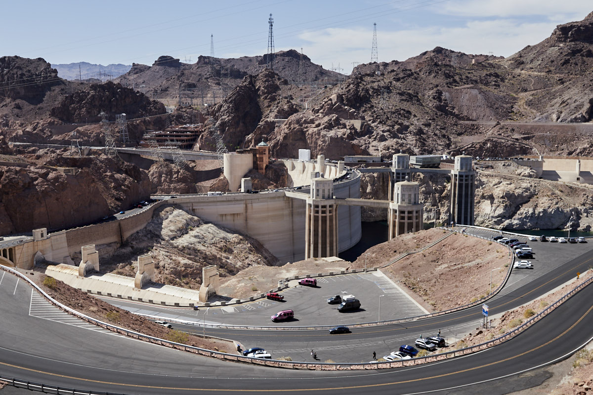
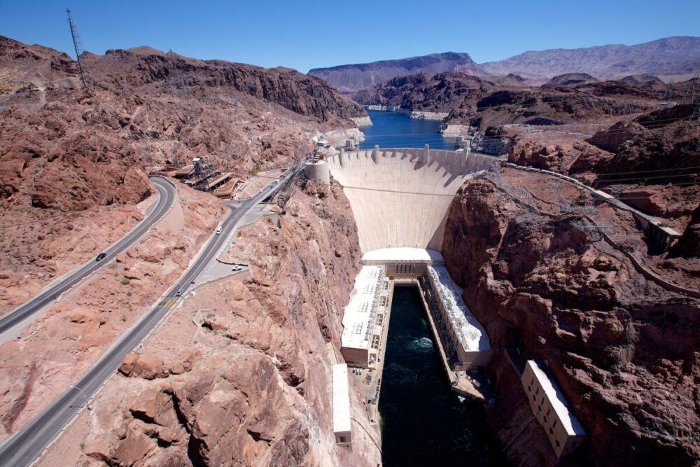
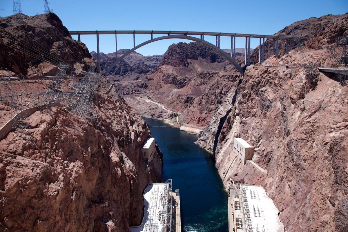
Hoover Dam
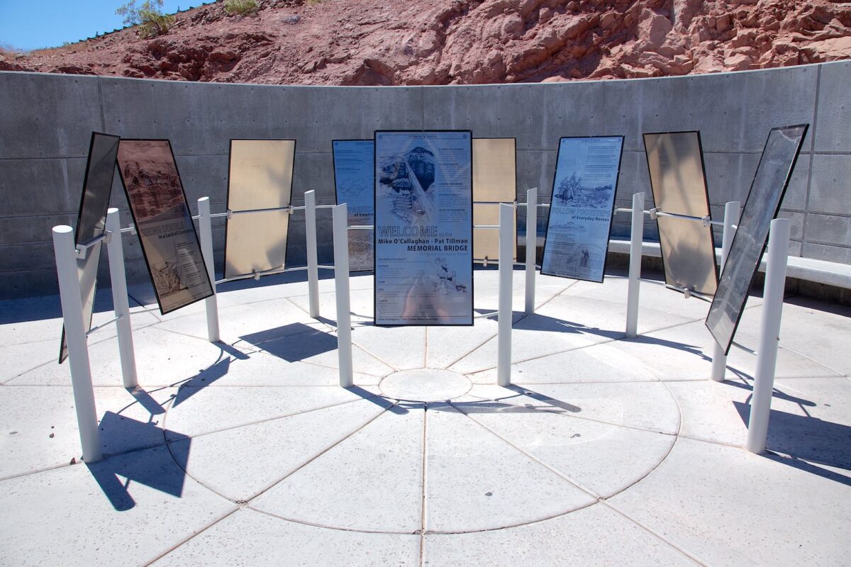
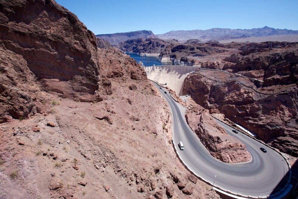
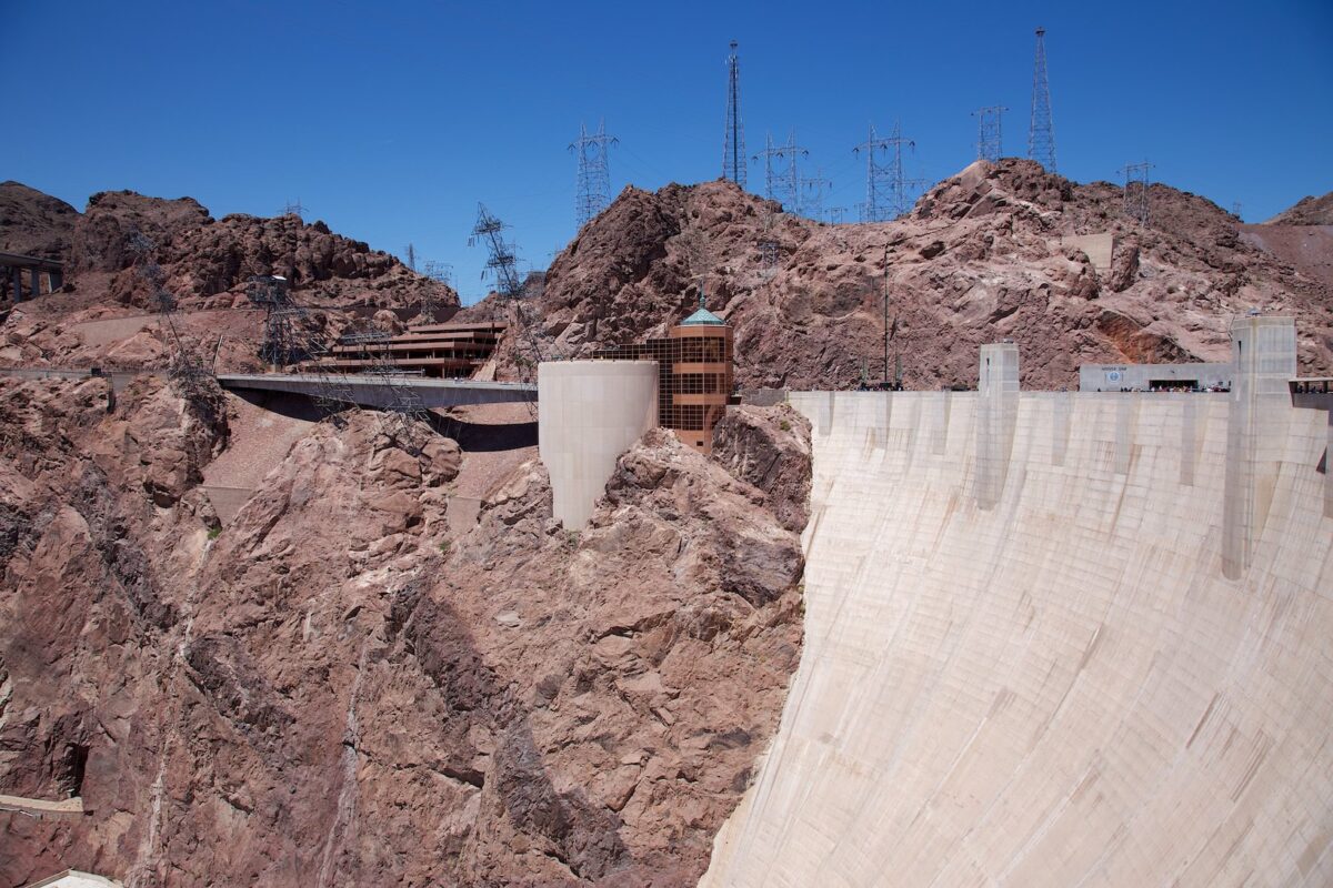
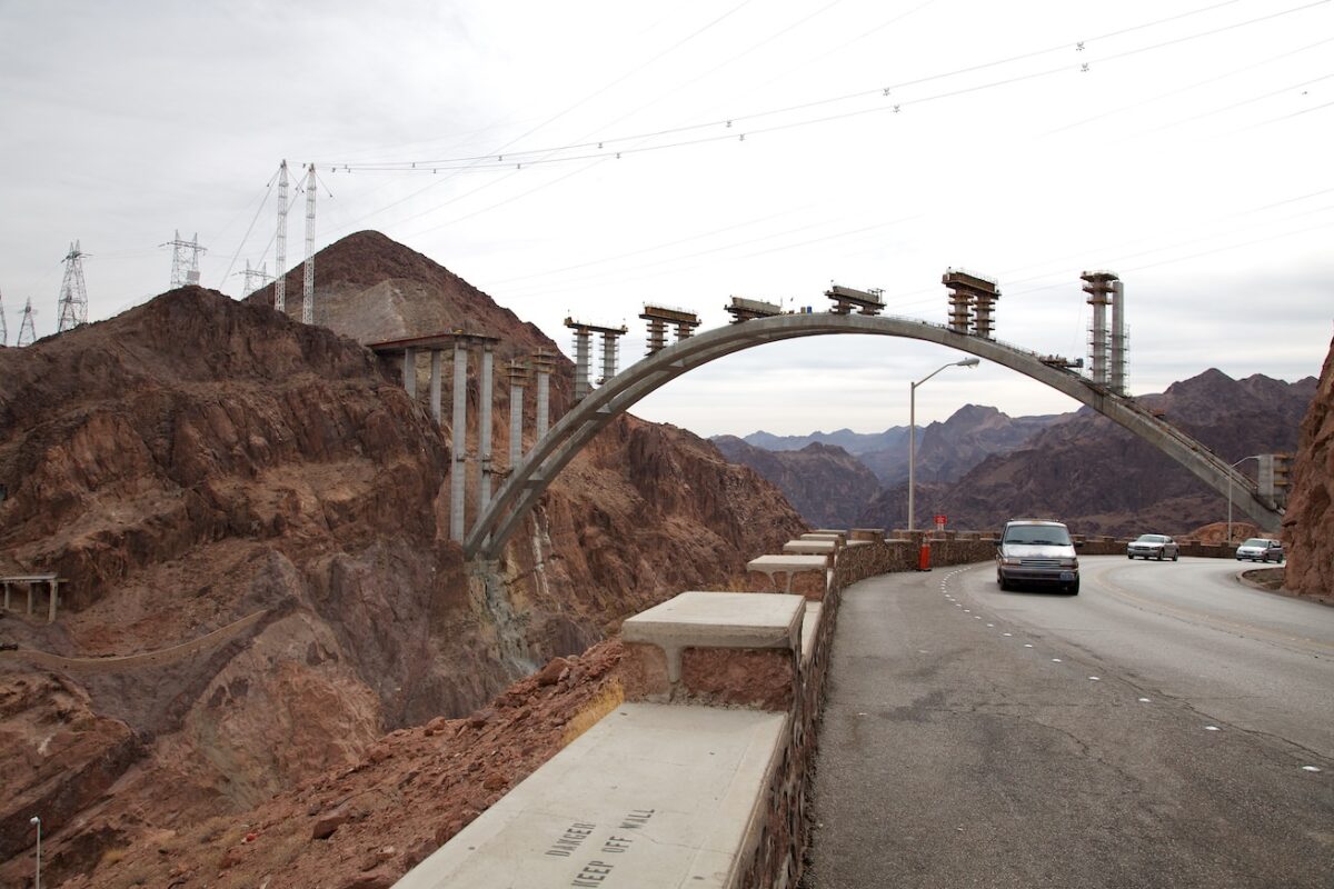
Description: Hoover Dam was built between 1931 and 1935 as an arch-weight dam. It is 725ft high and has a crest height of 46ft. It is used for water regulation and power generation. It is located right on the border between Nevada and Arizona and dams the Colorado River in the Black Canyon to Lake Mead. Lake Mead is the largest reservoir in the United States. To reduce the traffic load, the Mike O`Callaghan - Pat Tillman Memorial Bridge was opened to traffic on October 10, 2012.
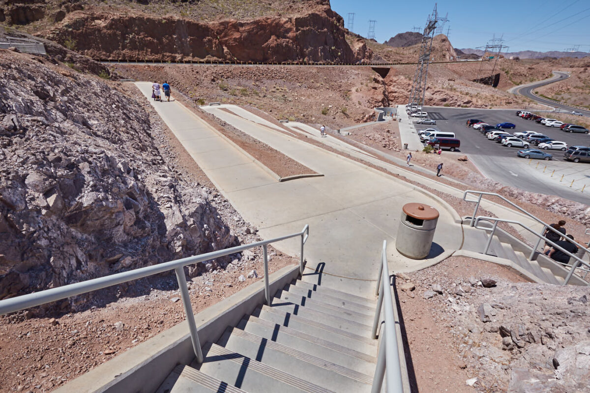
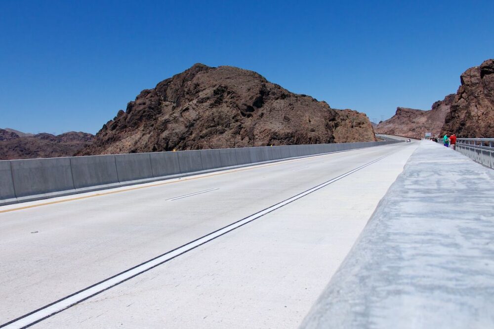
There are several ways to visit the dam. To get to the bridge, park in the parking lot west of the dam. From here, there is a short, paved path up to the bridge, from where you have a great view of the dam and the lake beyond. Anyone wishing to drive over the dam must undergo a checkpoint before doing so. There are several lookout points on both sides of the dam. There are also tours where you can get inside the dam and learn all about the structure.
Our rating: For those who like dams, Hoover Dam is a must-see. It is very interesting and fascinating to visit the dam and especially to observe the changing water levels in Lake Mead over the years. A massive structure.