Note: On dirt roads, road conditions can change constantly. Therefore, we strongly recommend that everyone check the road conditions before each trip. We do not recommend driving on unpaved roads before, during or shortly after rain or snowfall.
For the GPS: 4650 N Mammoth Mine Rd, Apache Junction, AZ 85119 (Goldfield Ghost Town)
Our visits: So far 2 visits in September 2011 and May 2013
Current: Due to a fire and subsequent flooding, the Apache Trail was not passable for a long time. The problem is a 7mi section between the Fish Creek Hill Overlook and the Apache Lake Marina. The road has now been repaired and is open to traffic. However, temporary closures are still to be expected. Further information can be found at here..
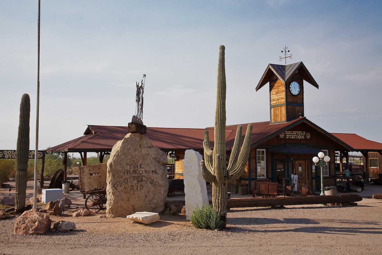
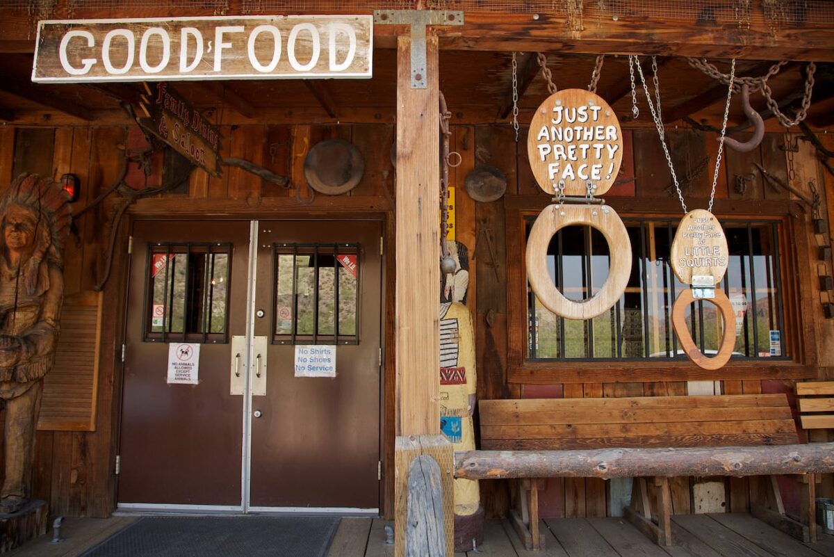
Goldfield Ghost Town
Apache Trail
Apache Trail
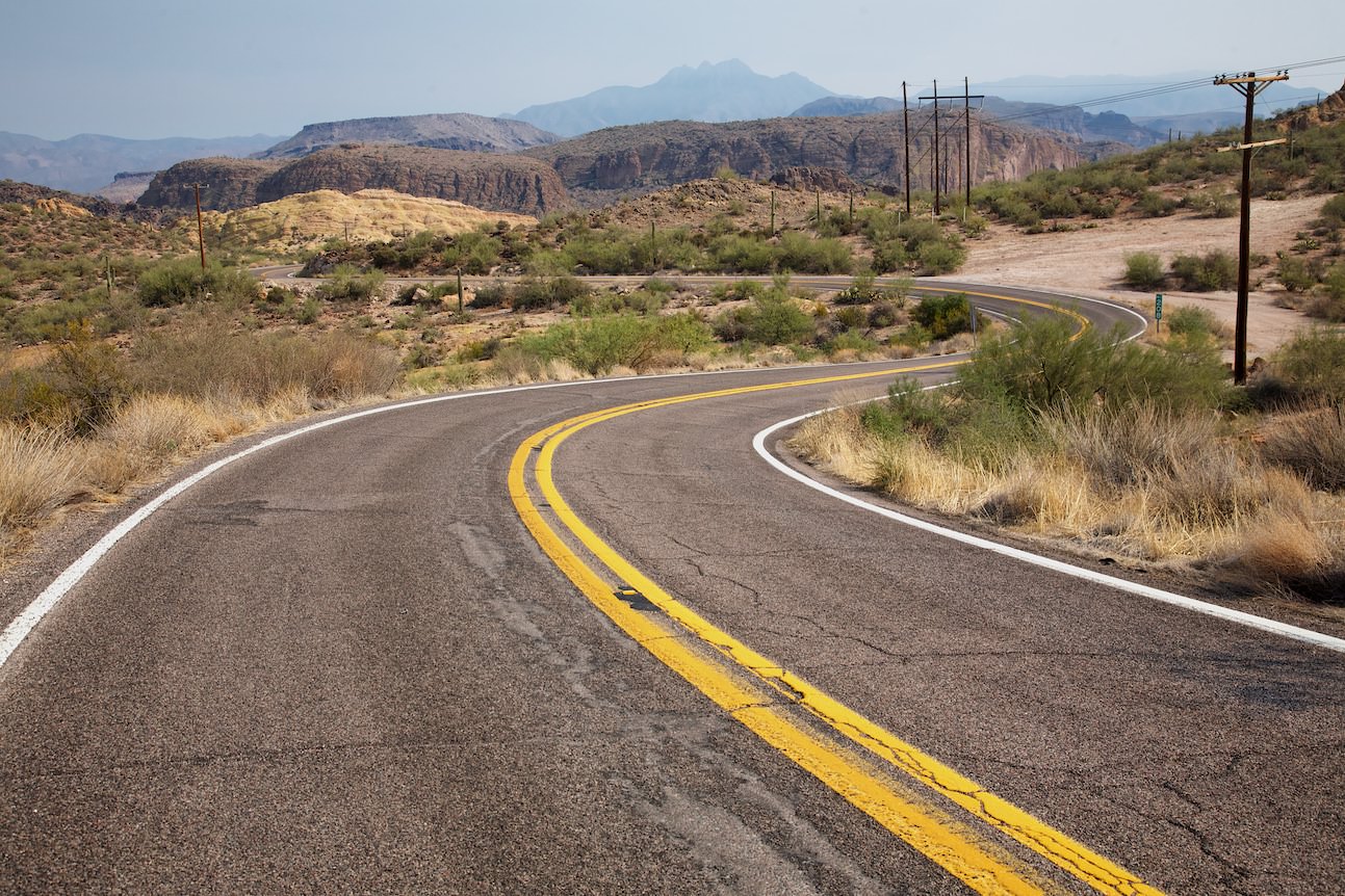
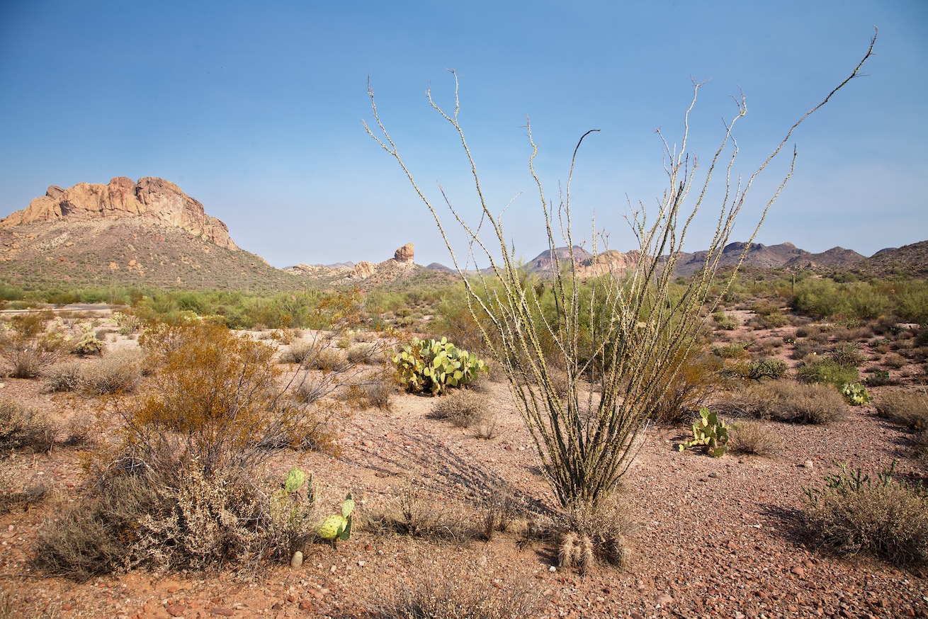
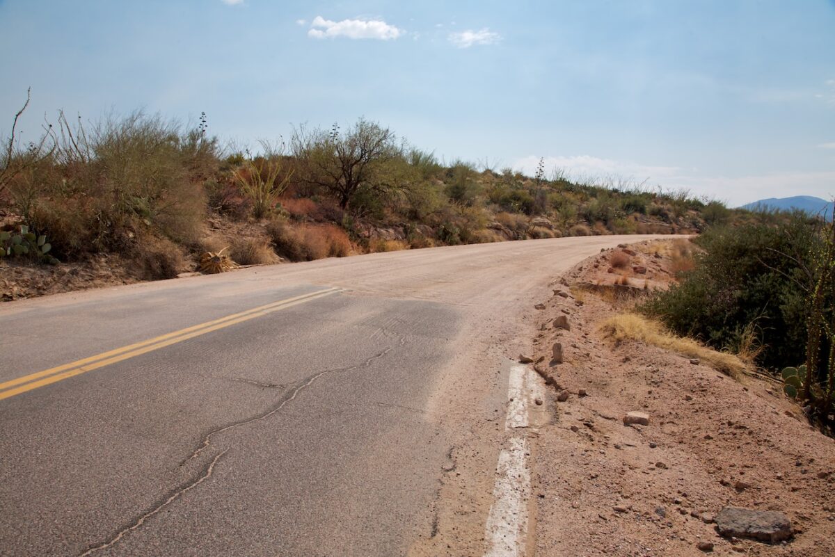
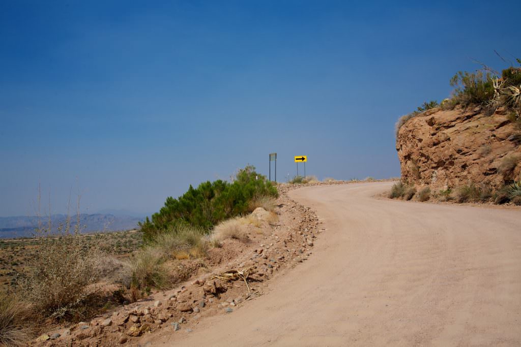
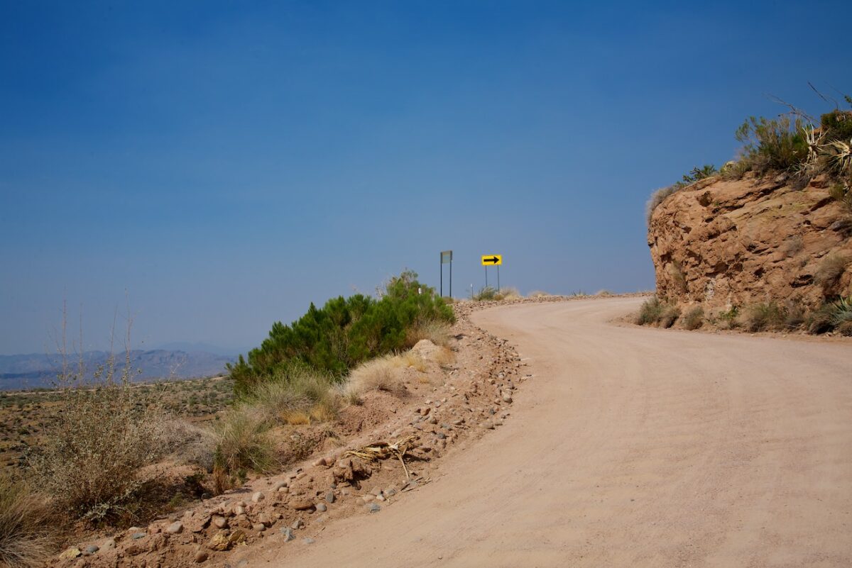
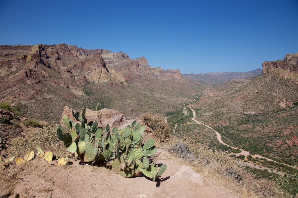
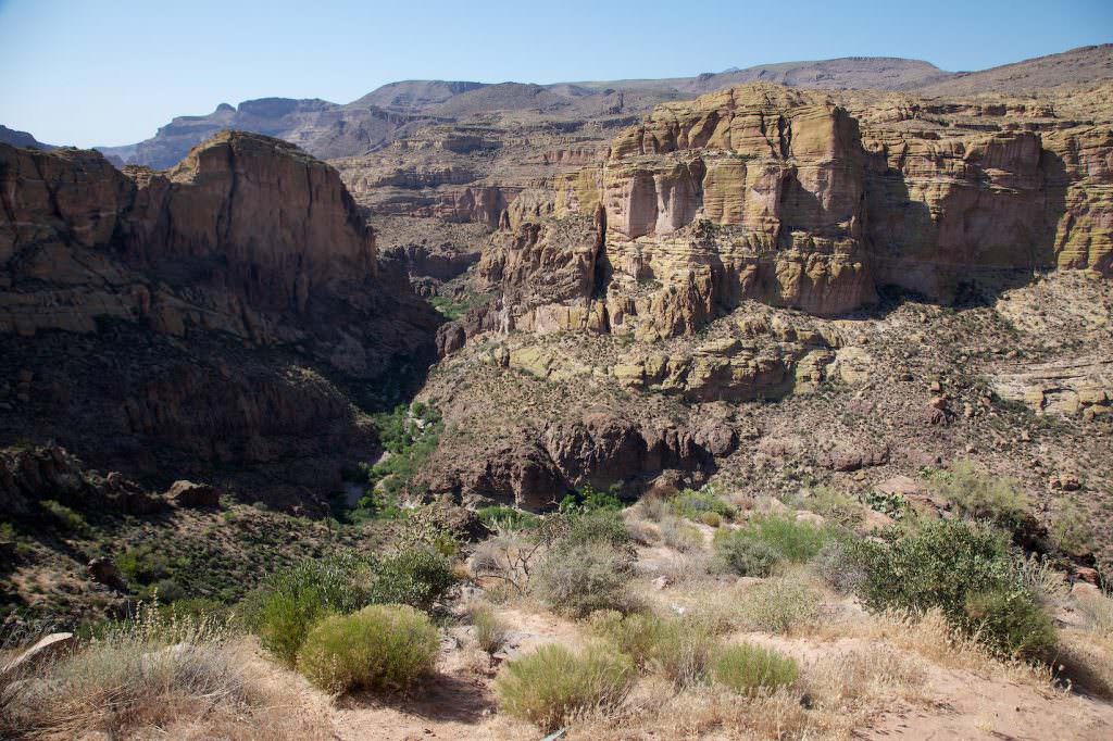
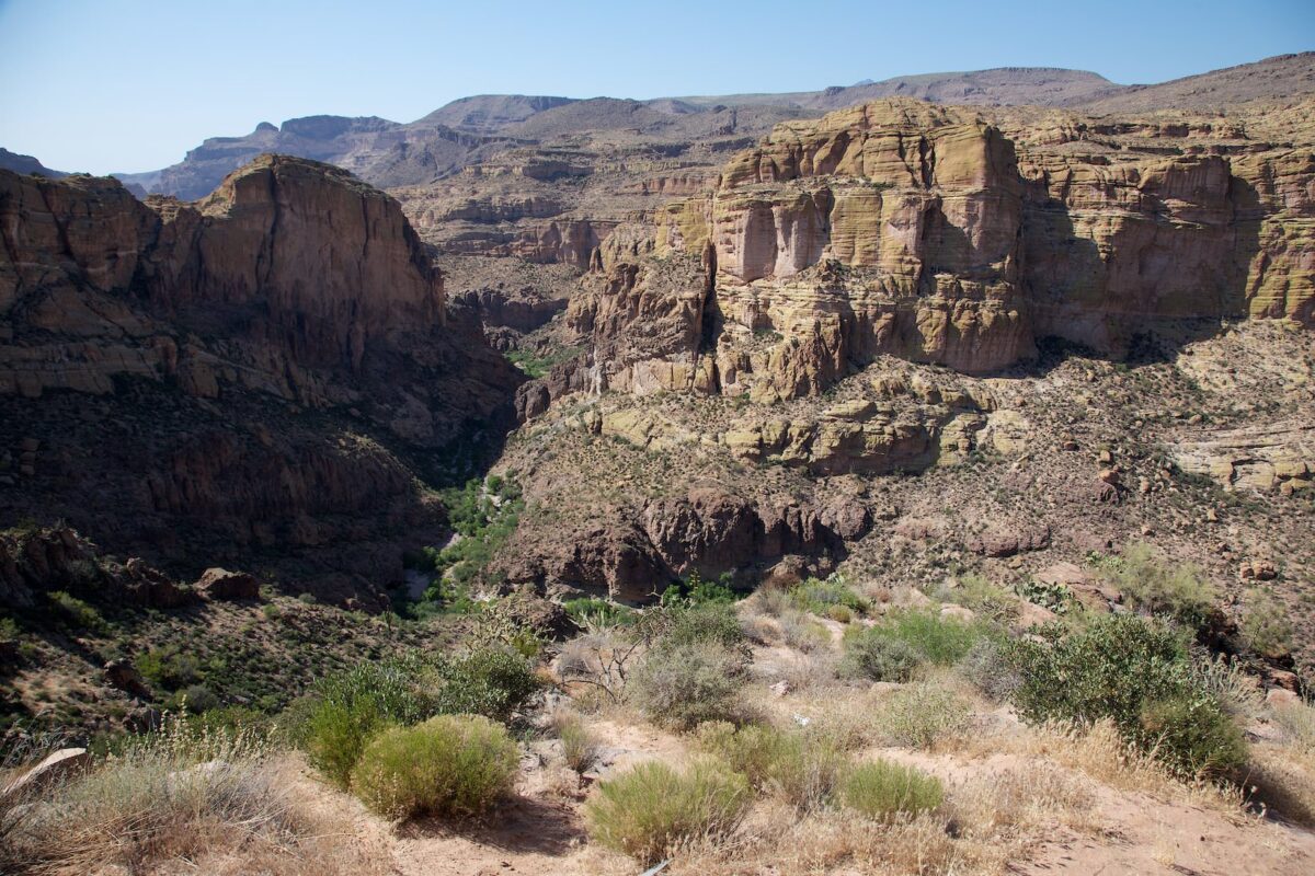
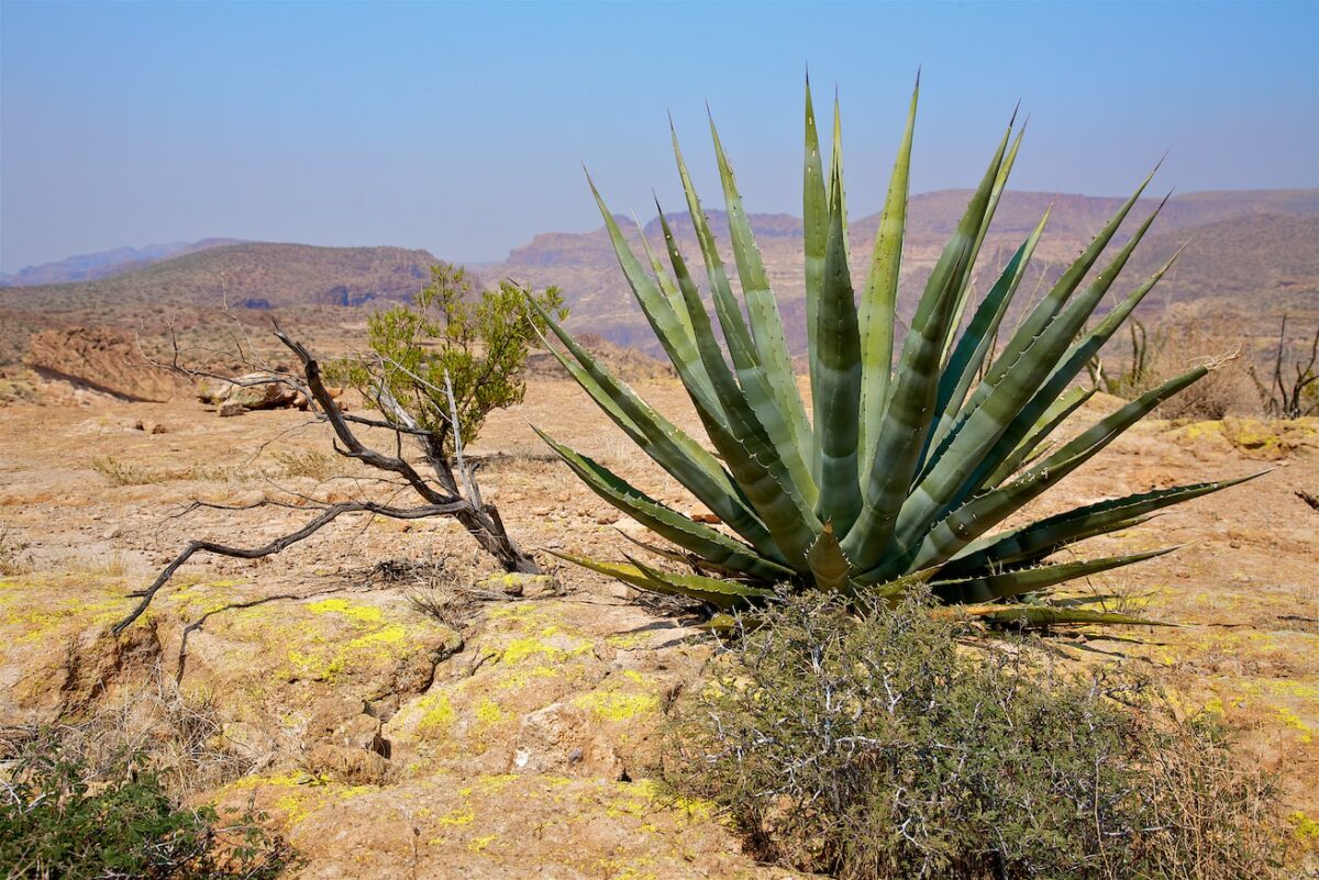
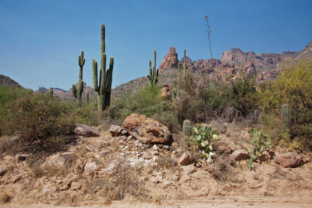
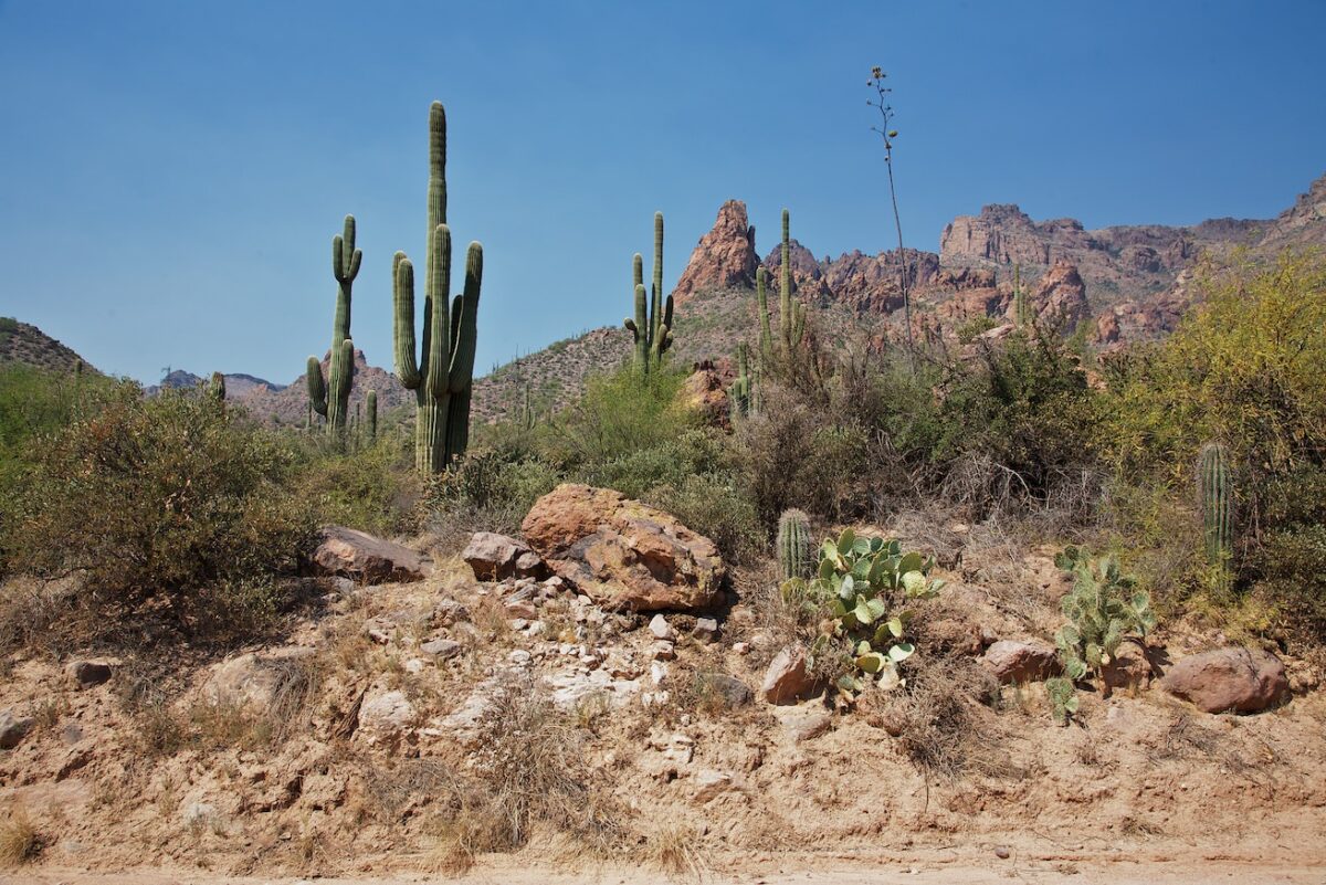
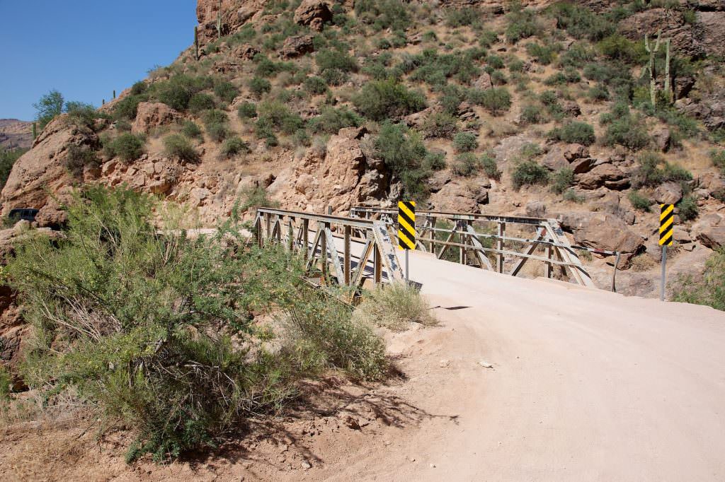
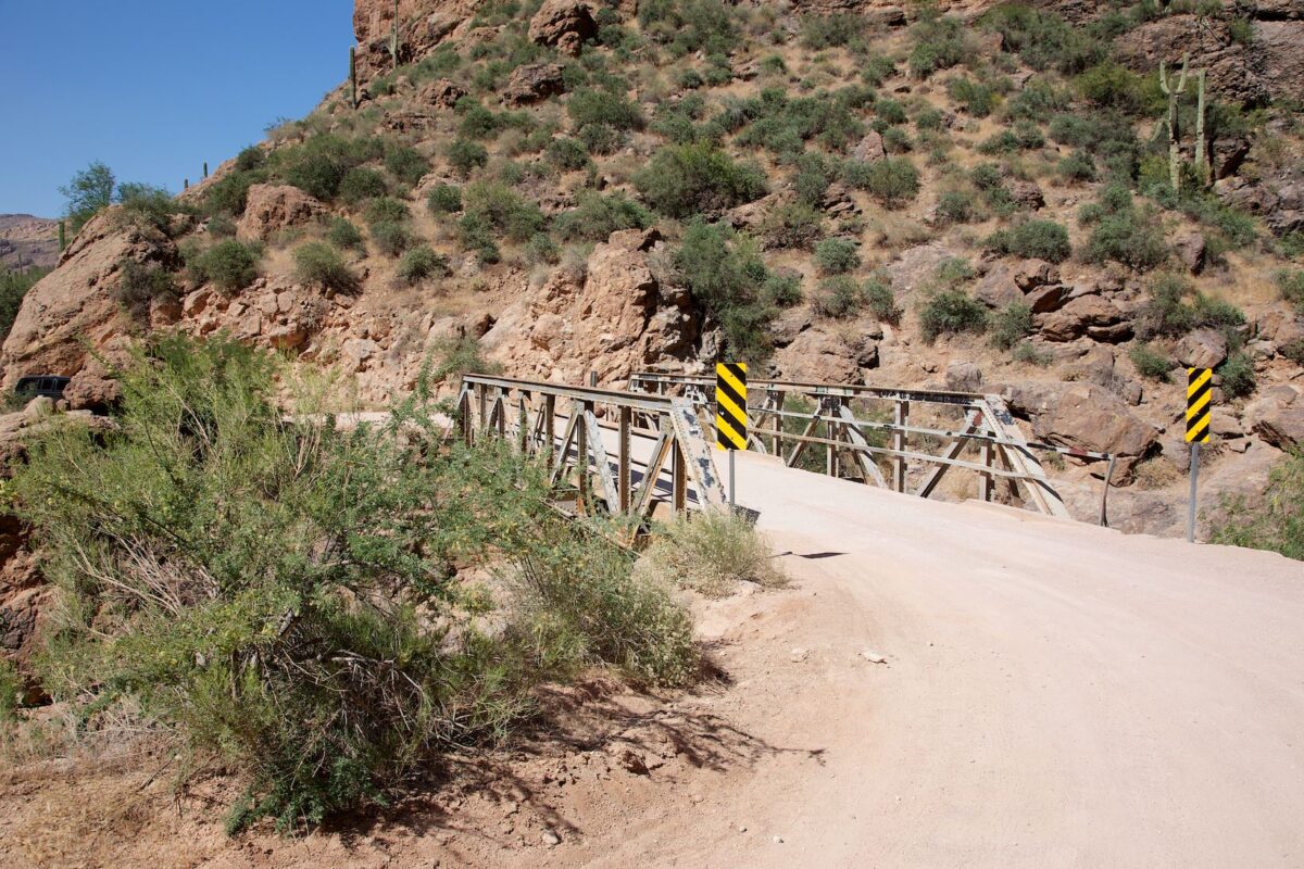
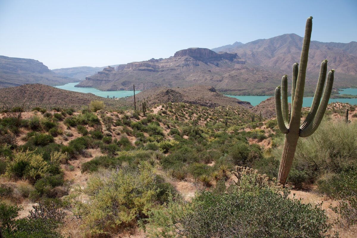
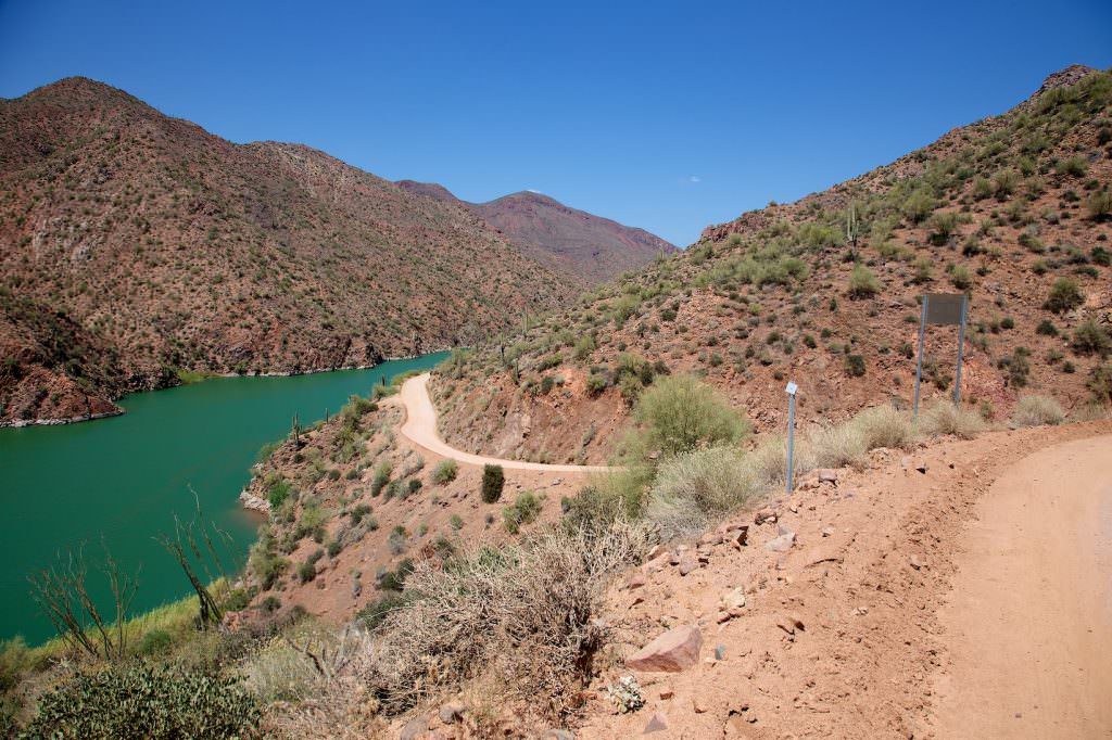
Description: The Apache Trail leads over 71.5 scenic miles from Apache Junction to Globe. We liked the stretch up to Roosevelt Dam best. The trail was once an Apache trail that led through the rocky gorge of the Salt River. The current road was then built as a supply road for the construction of Roosevelt Dam. Up to 5mi passed Tortilla Flat the road is paved, beyond that it is a very good dirt road. Only the descent at Fish Creek Hill could be problematic. Here it is relatively rutted and narrow, but with dryness and enough ground clearance you should be able to get down relatively easily.
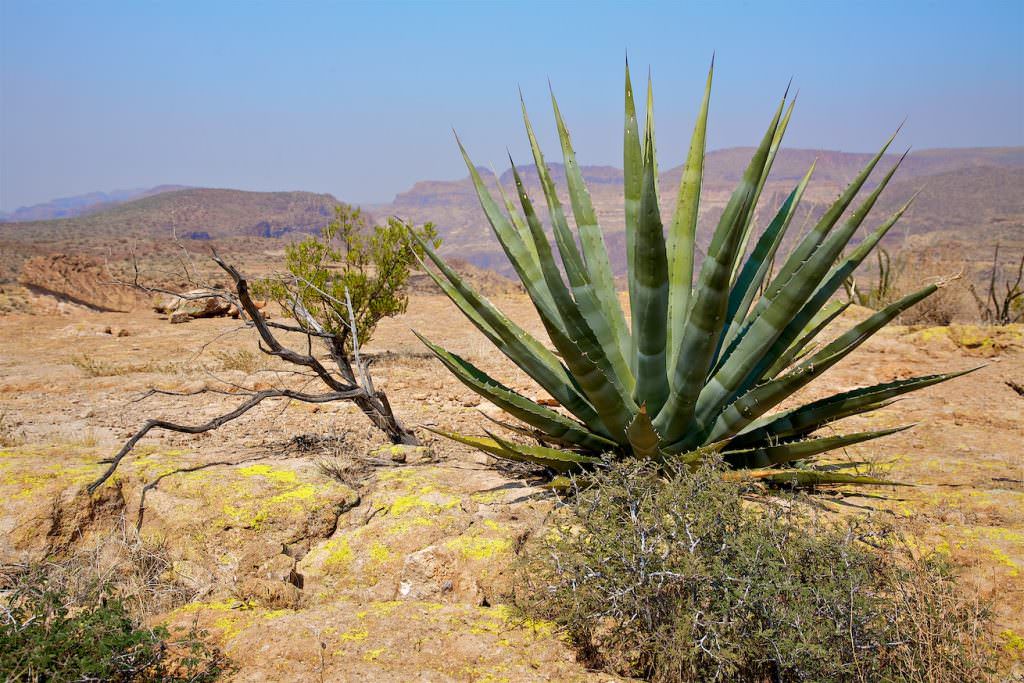
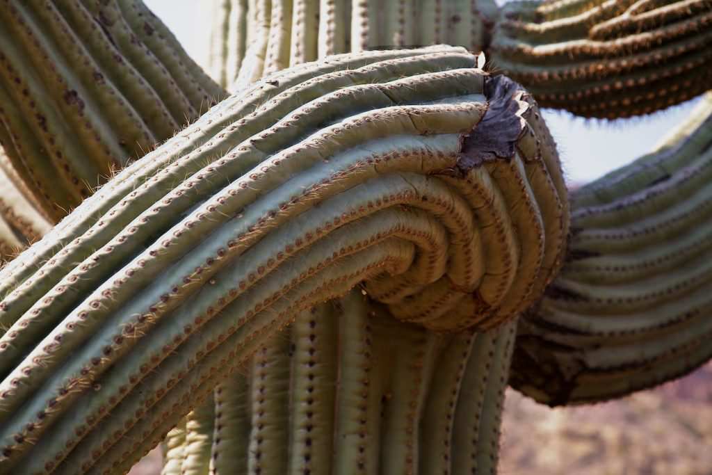
Our rating: A scenic route that offers a lot of variety. A highlight here are, among other things, the huge saguaros. If you are in the area, you should definitely drive through here.
☆☆☆☆☆Rated 4 out of 5
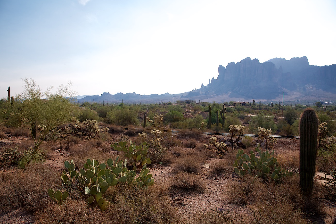
Lost Dutchman SP
Goldfield Ghost Town
Apache Trail
Apache Trail
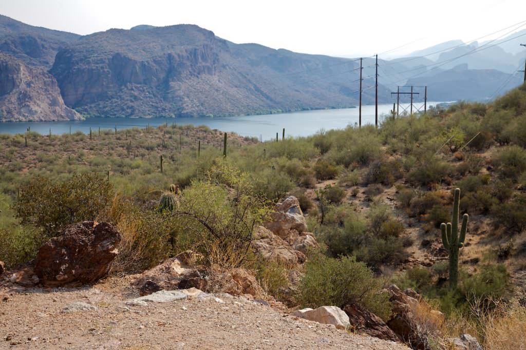
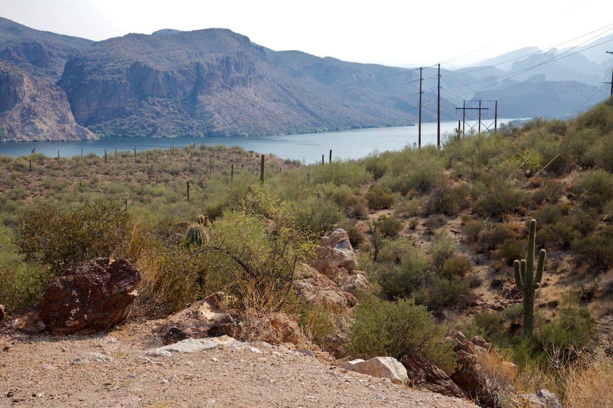
Canyon Lake Vista
Apache Trail
Apache Trail
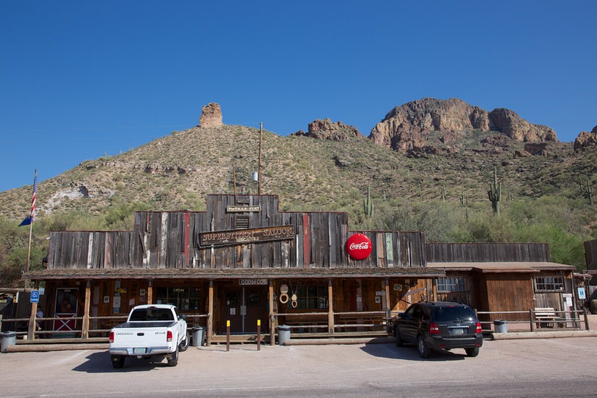
Tortilla Flat
Apache Trail
Tortilla Flat
Apache Trail
5mi passed Tortilla Flat the pavement ends
Apache Trail
Apache Trail
Fish Creek Hill
Apache Trail
Fish Creek
Apache Trail
Apache Trail
Apache Trail
Apache Trail
Apache Trail
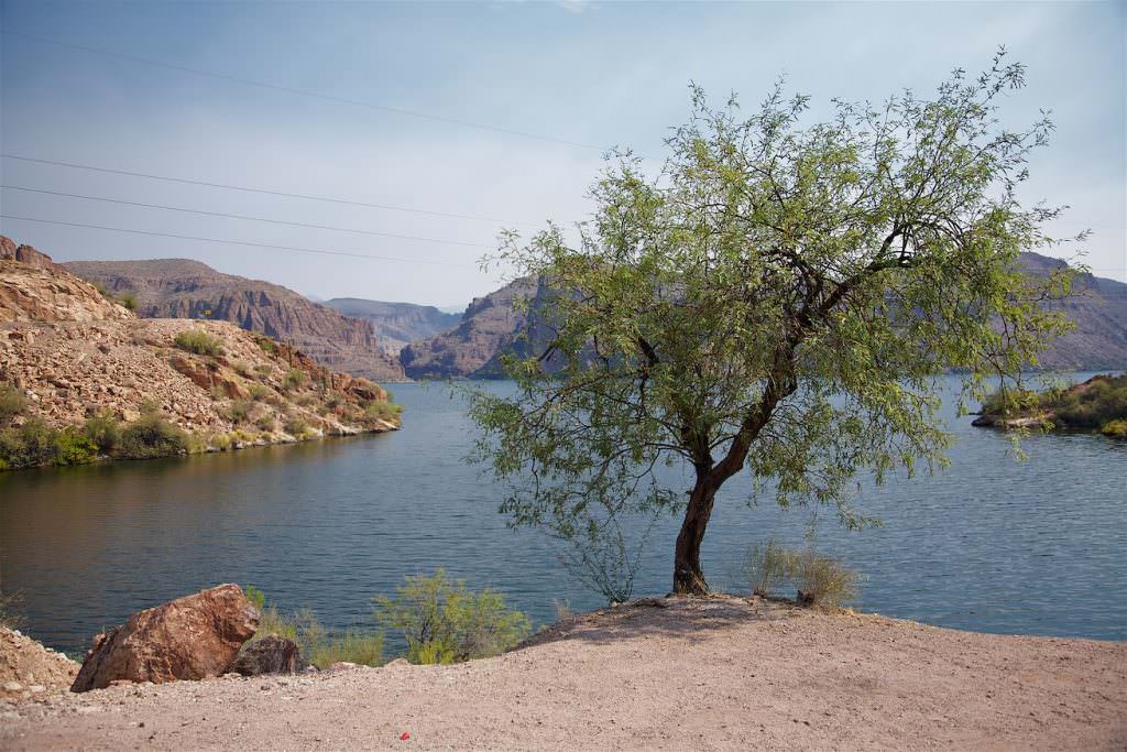
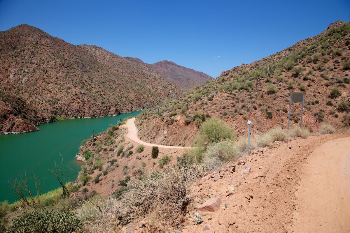
Apache Lake
Apache Trail
Apache Lake
Apache Trail
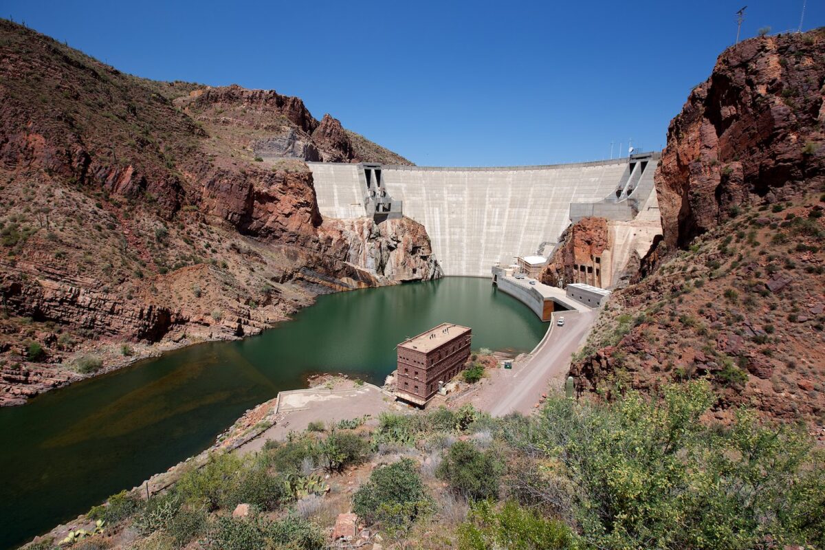
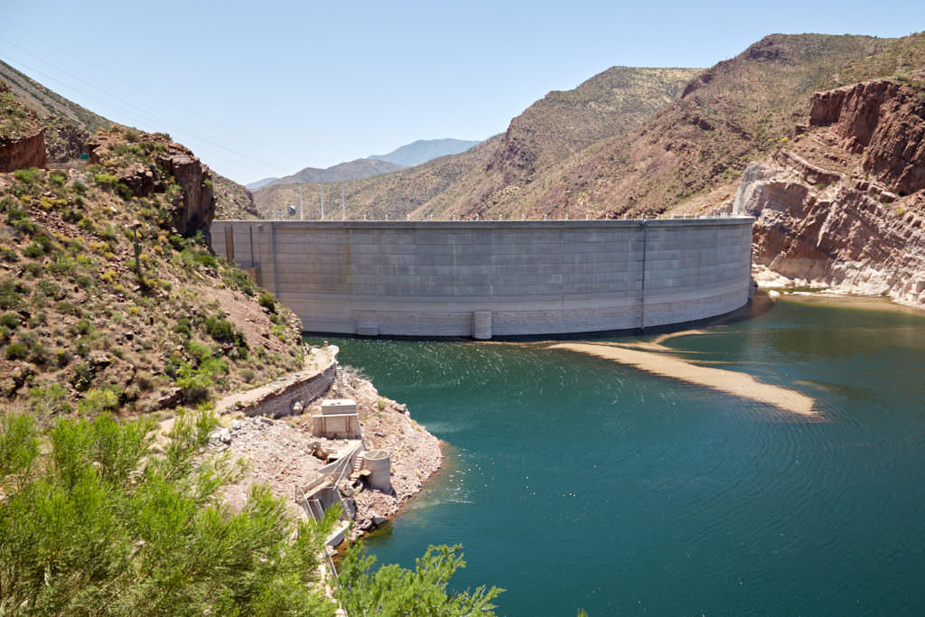
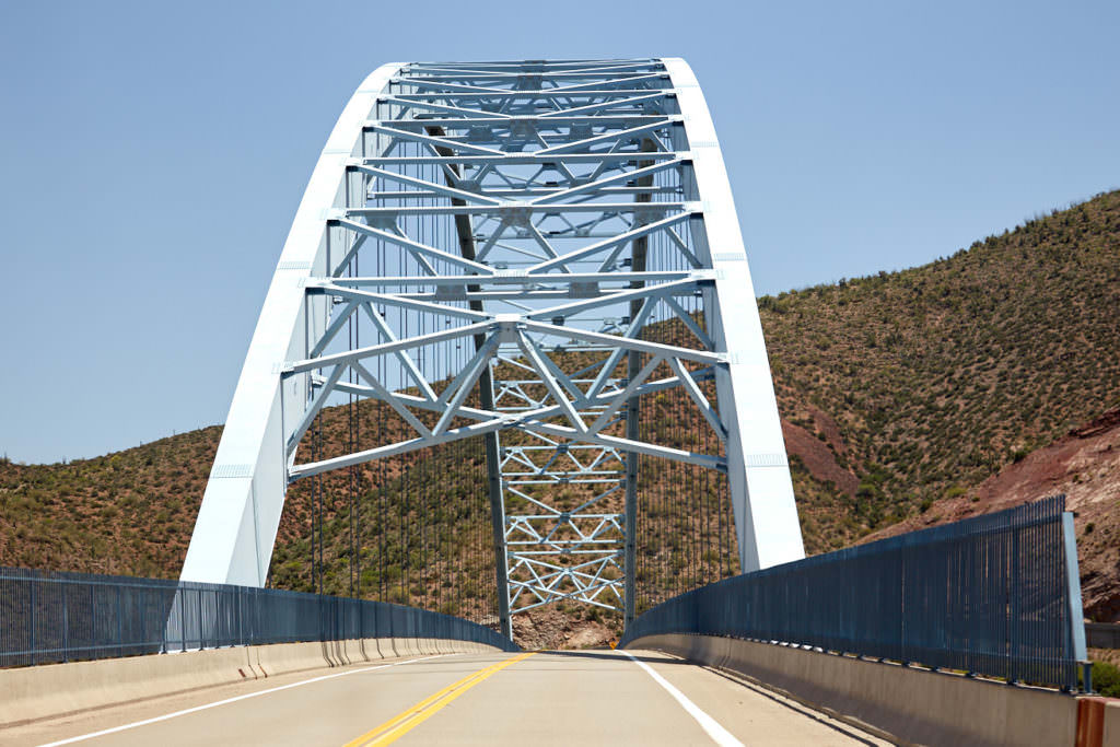
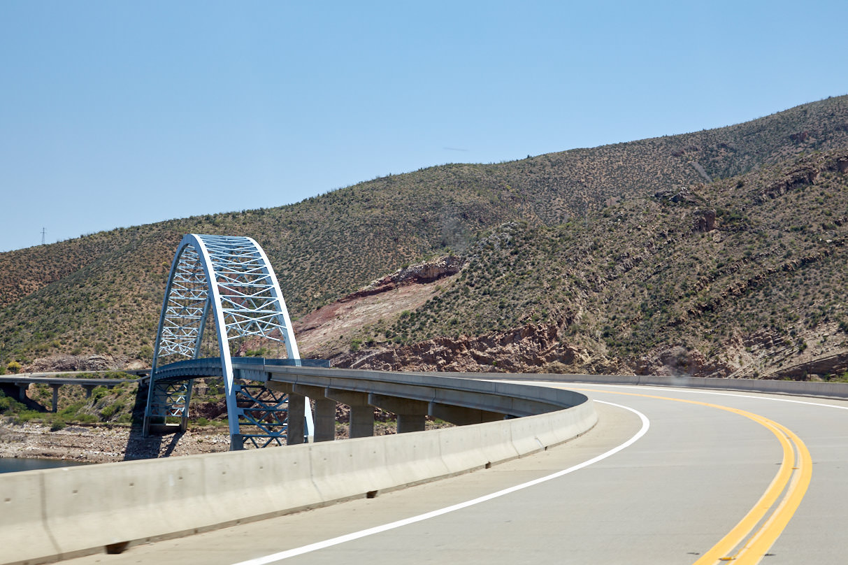
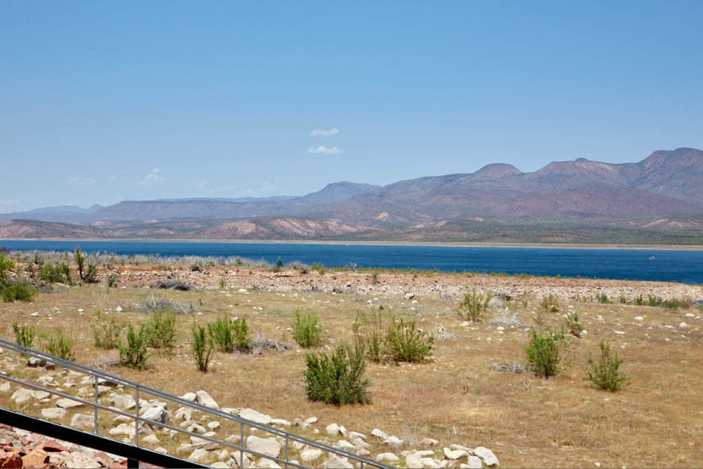
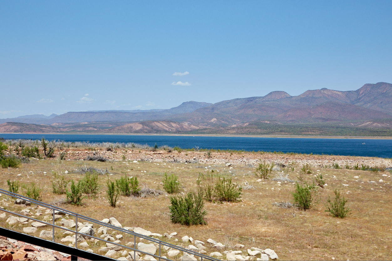
Theodore Roosevelt Dam
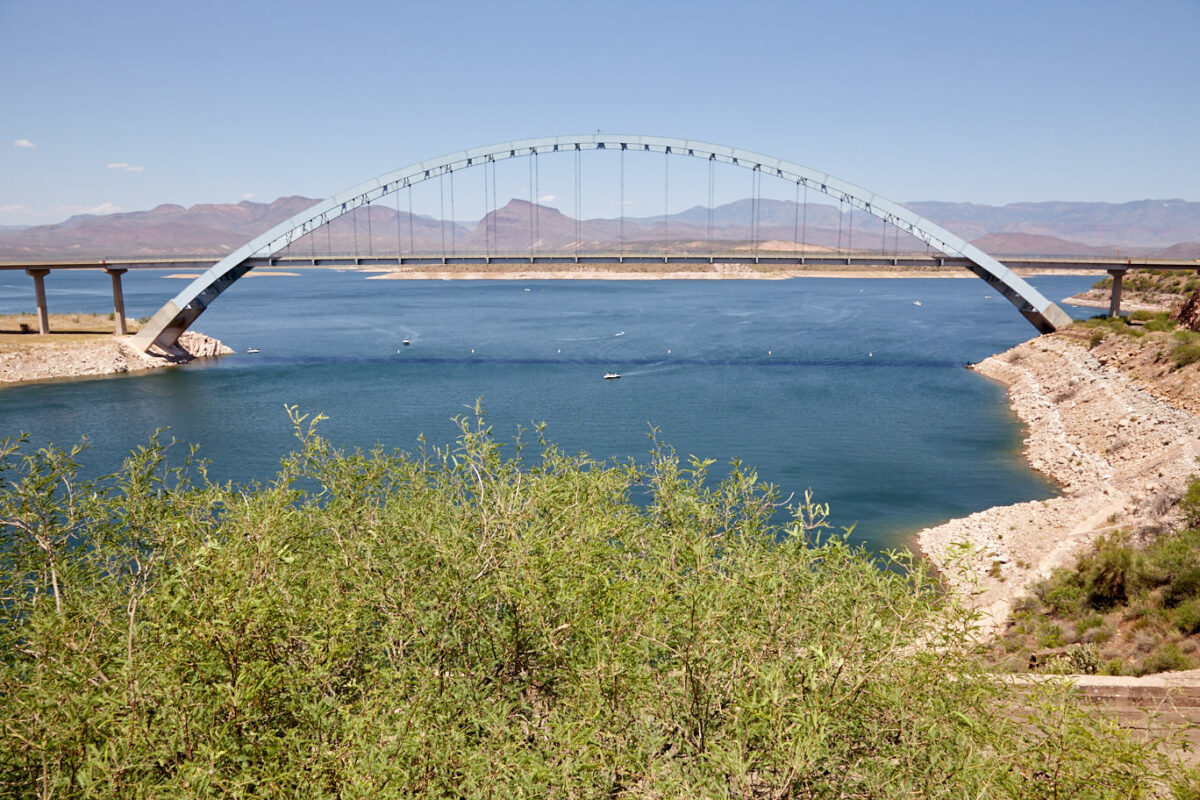
At the eastern end of the Apache Trail, past Roosevelt Dam, you'll find Theodore Roosevelt Lake.


