Note: On dirt roads, road conditions can change constantly. Therefore, we strongly recommend that everyone check the road conditions before each trip. The most current information is usually available on the BLM website in Escalante. GSENM-Road-Condition-Report
Altitude above sea level: House Rock Valley Road
4910ft
Here are the GPX files of our drive along the House Rock Valley Road
Our visits: Since House Rock Valley Road is the access road to many tourist attractions, we have also traveled the road several times on our travels through the Southwest.
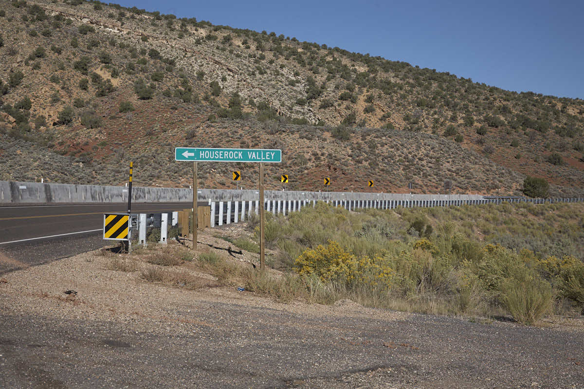
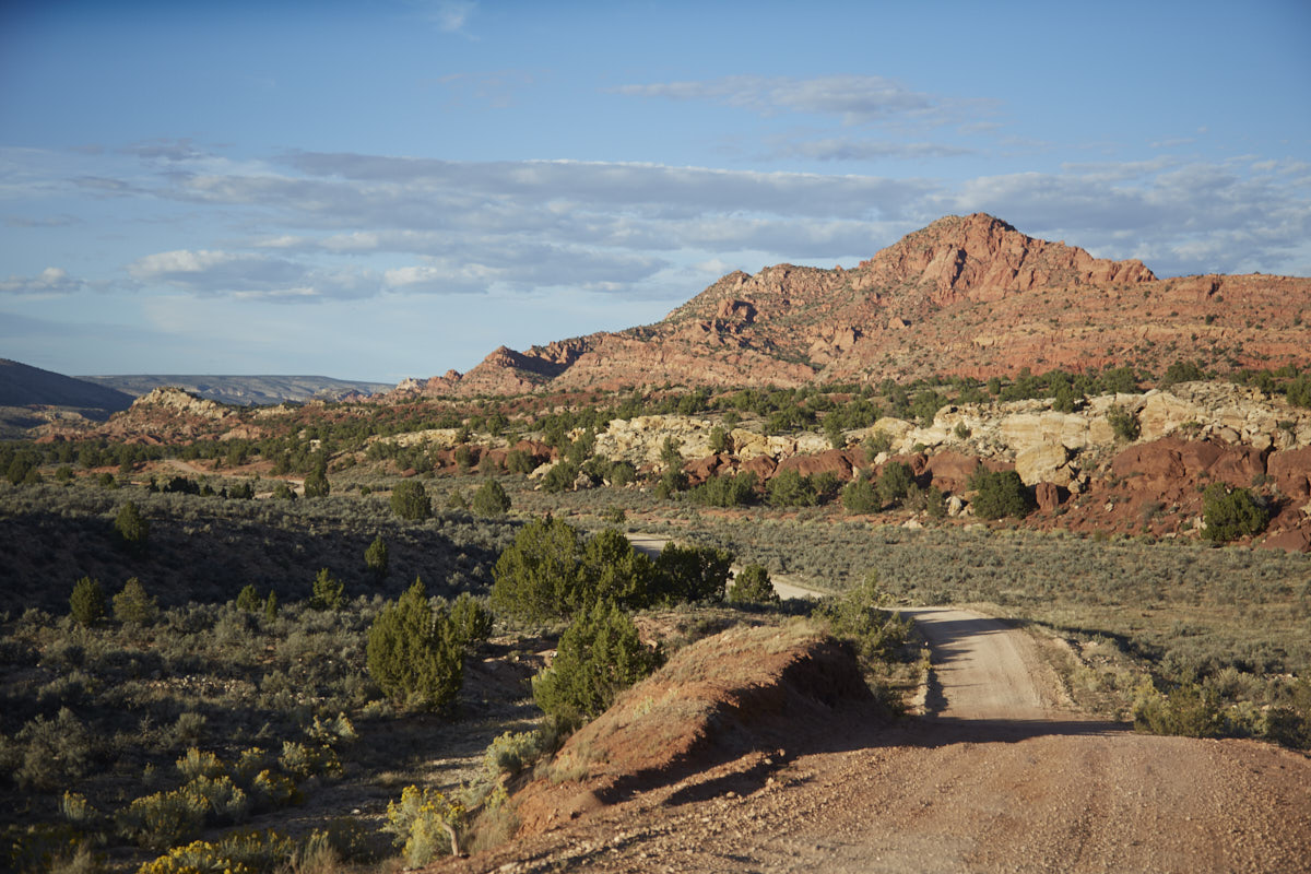
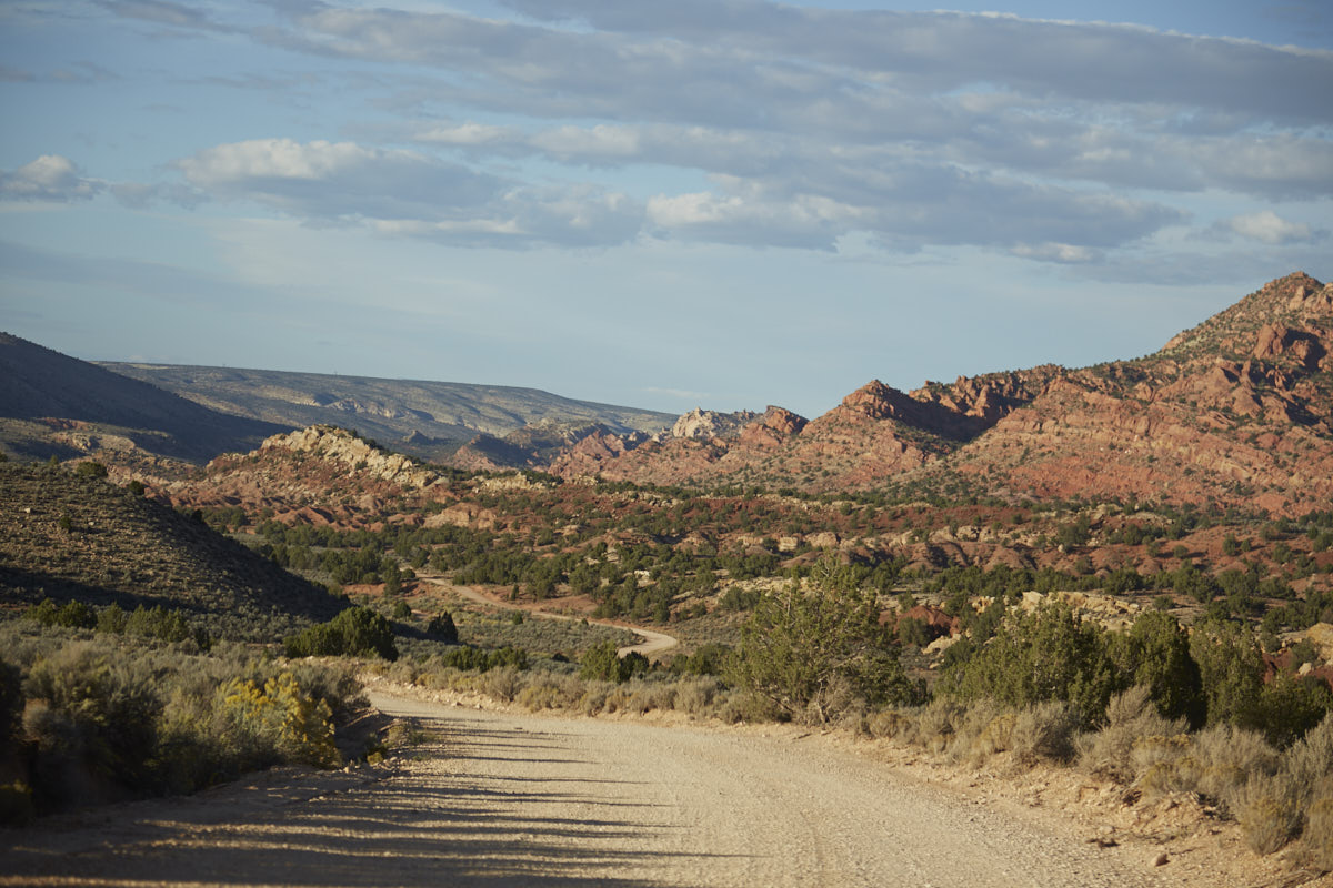
House Rock Valley Road
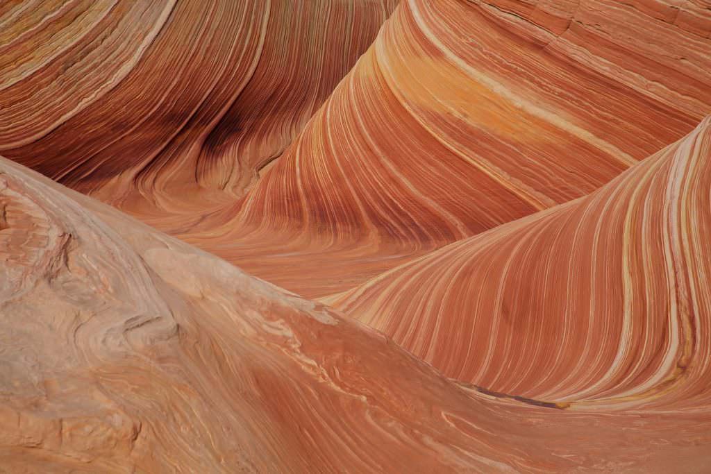
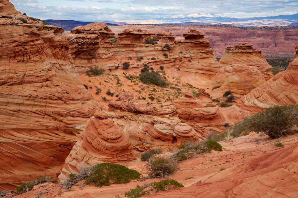
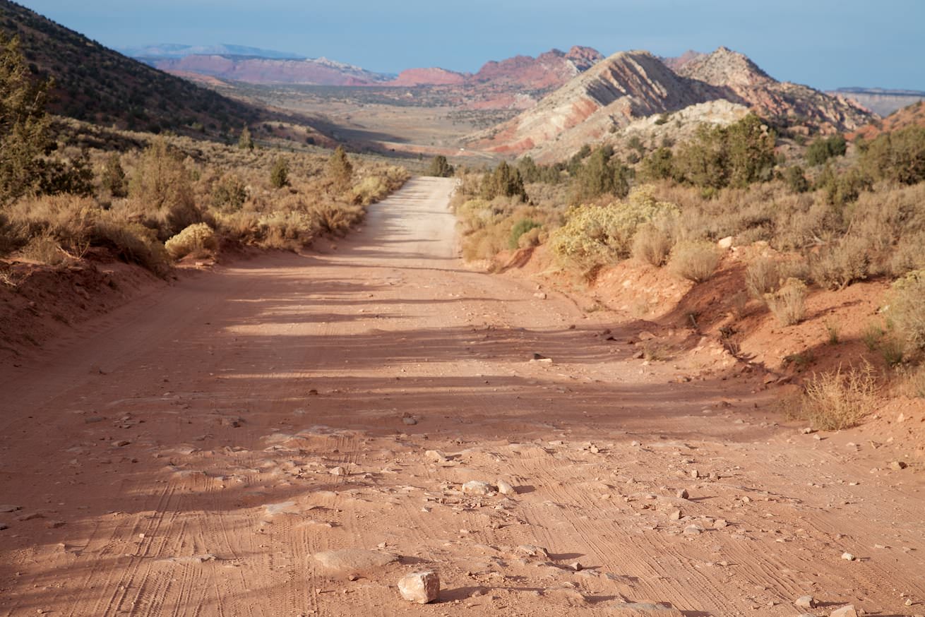
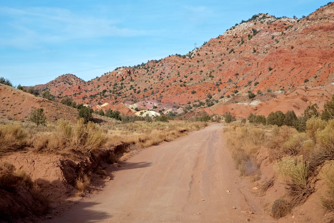
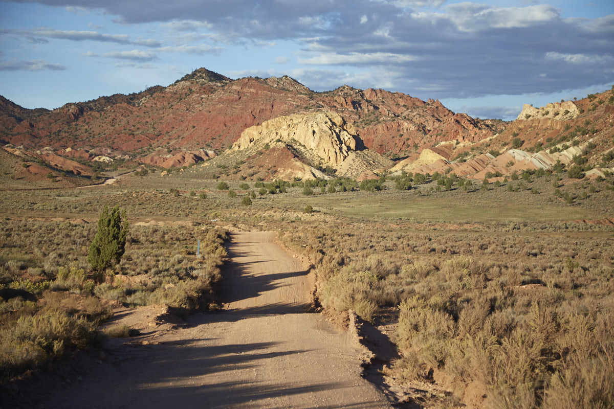
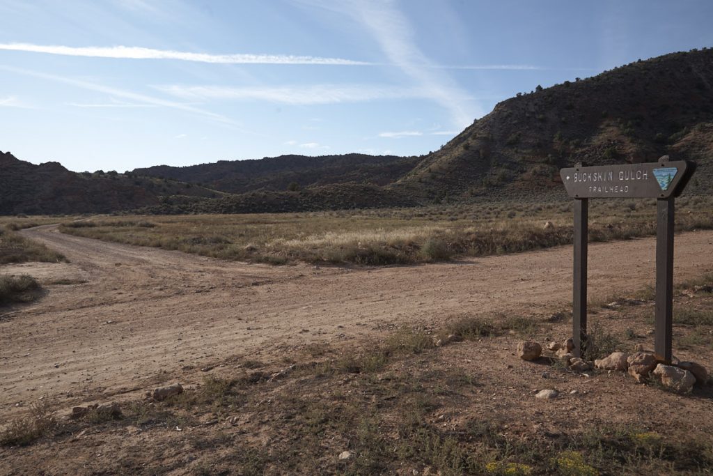
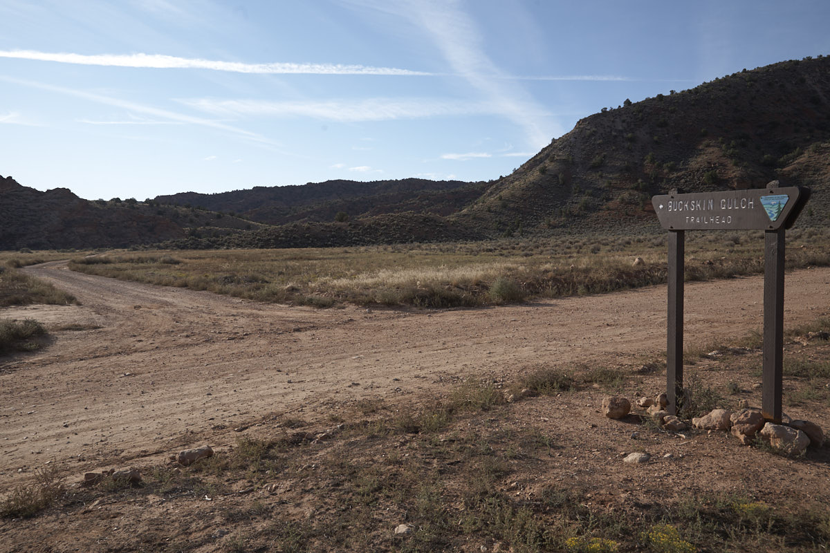
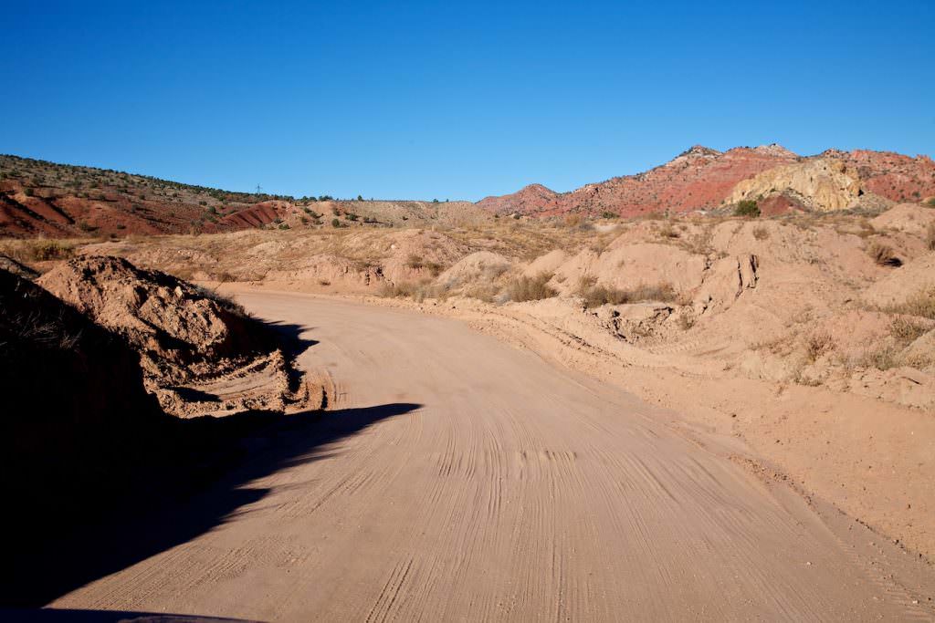
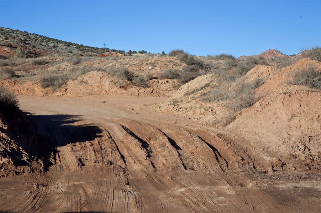
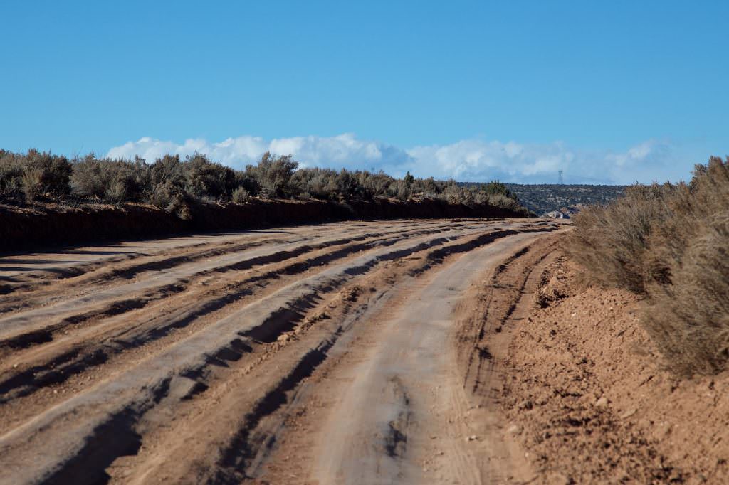
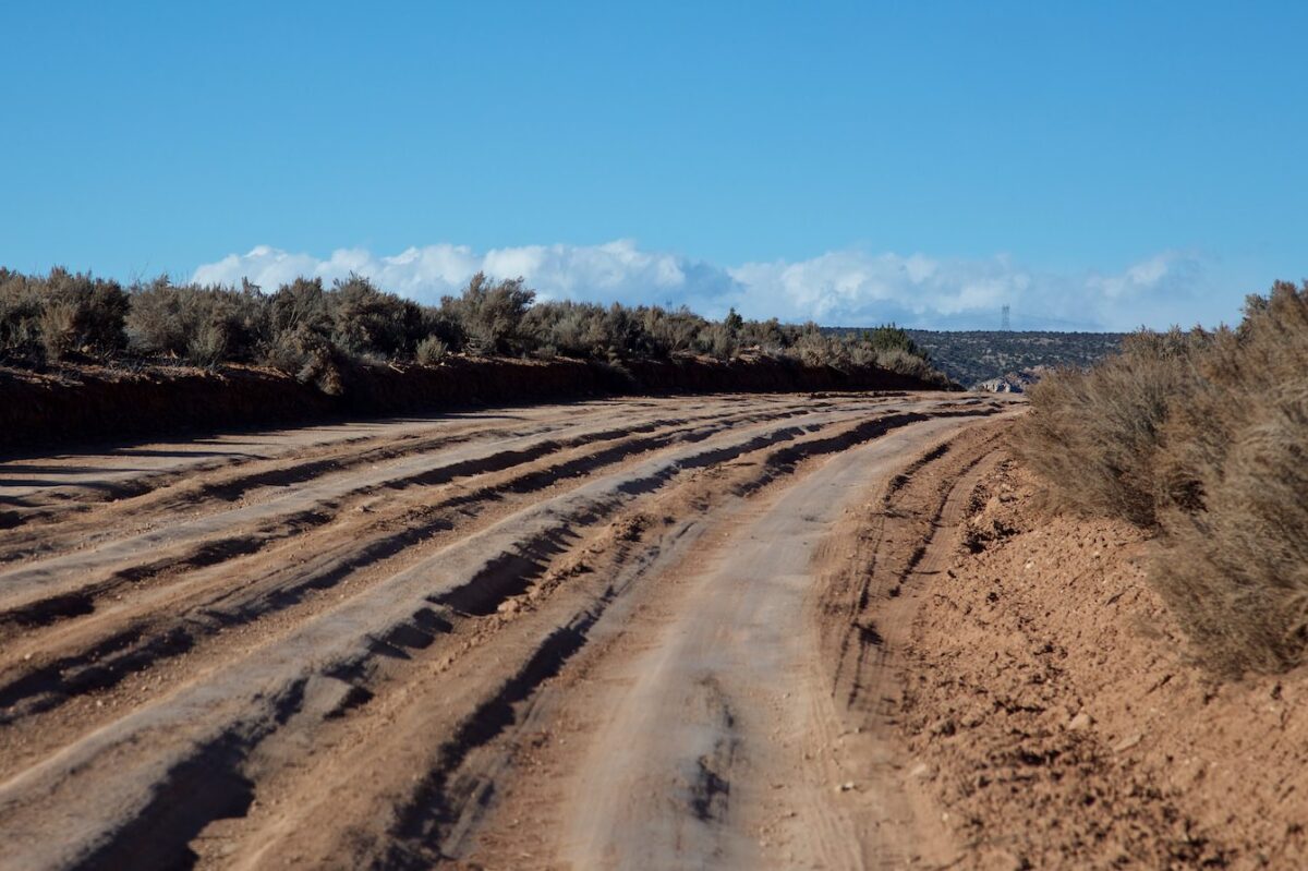
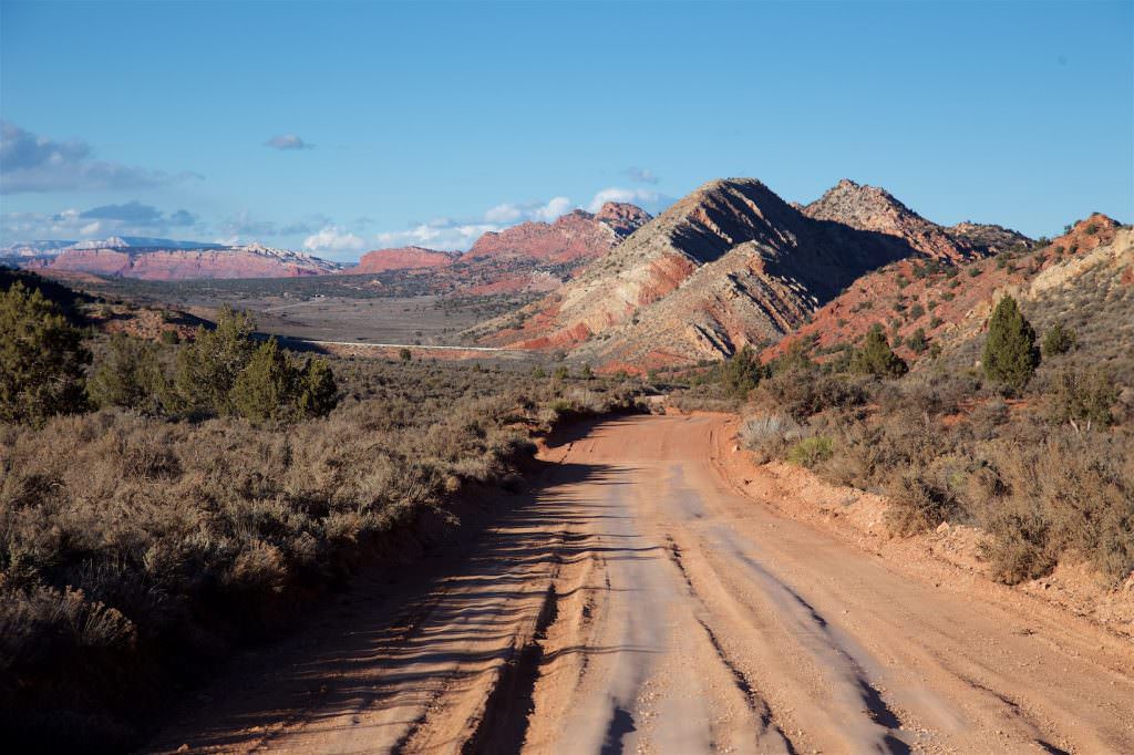
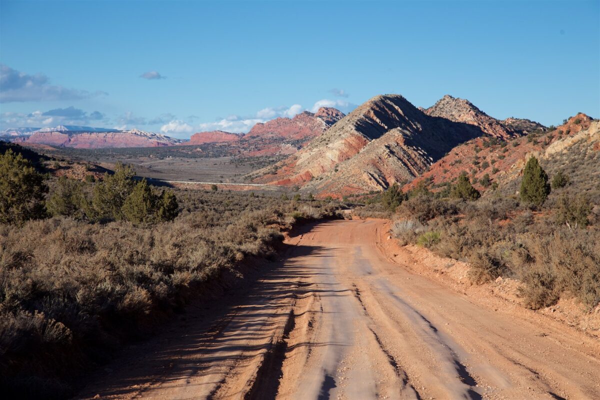
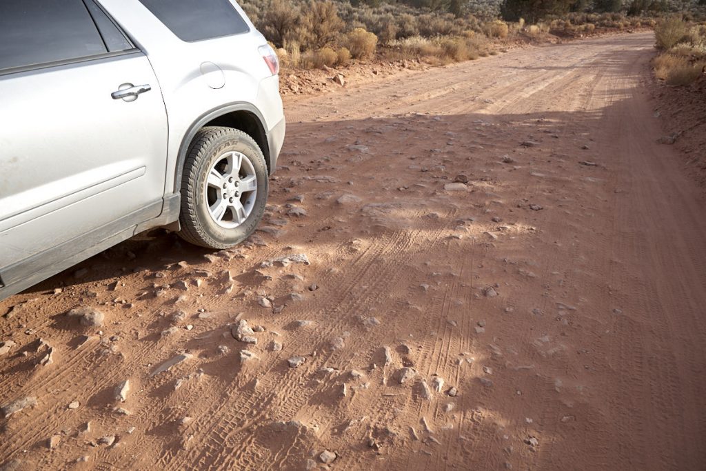
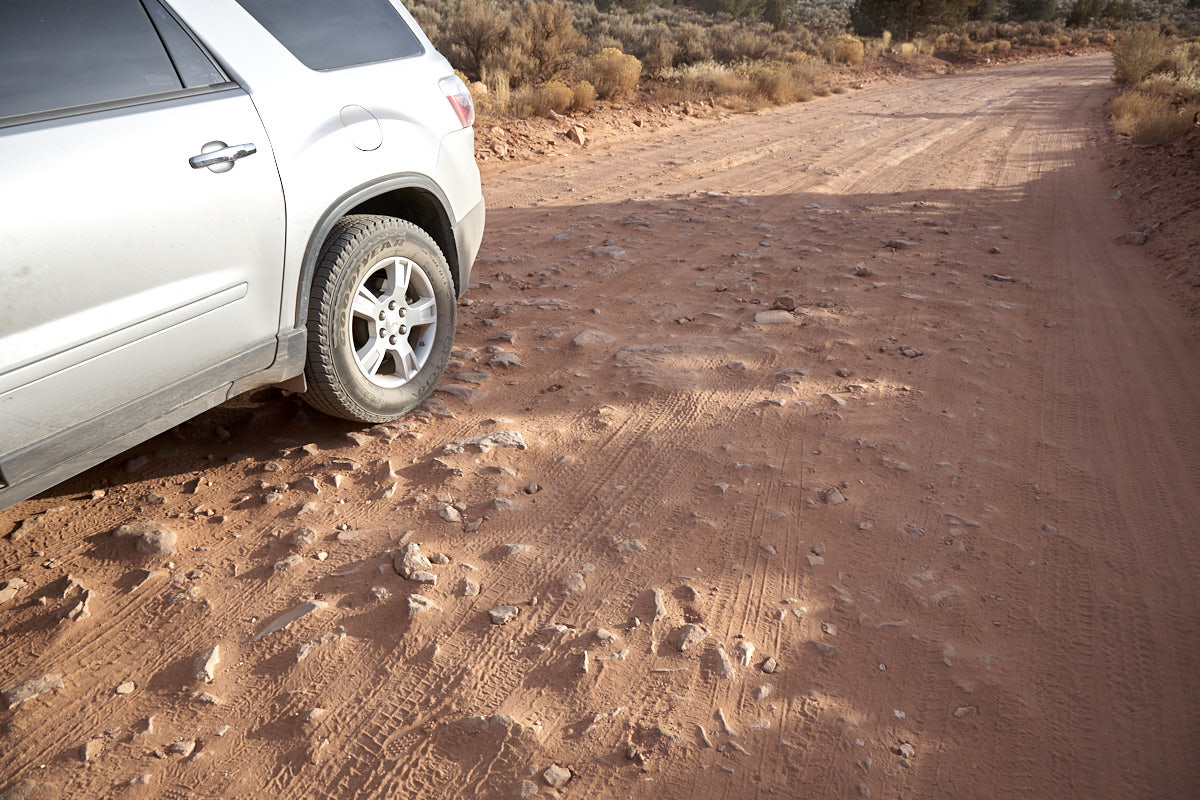
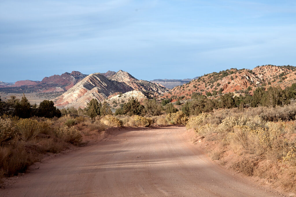
Description: House Rock Valley Road is a 29,5mi dirt road that connects Highway 89 in the north with Highway 89A in the south. It passes virtually directly by the Vermillion Cliffs and serves as an access road to some of the most famous locations in the southwest. However, especially after heavy rains, the road may not be passable. The biggest "obstacle" is often Buckskin Gulch Wash, which then becomes impassable for inexperienced drivers and unsuitable vehicles. Especially if you got one of the desired wave-permits, this is of course very annoying, because you then have to accept the much further approach from the south. Since the wash is 4mi from the Wire Pass Trailhead, where the hike to the Wave begins, the hike would be extended accordingly by 8mi.
Our rating: So far, we have always been lucky when driving the House Rock Valley Road. During our visits it was always in an acceptable condition. As an access road to the Coyote Buttes you can't avoid it anyway. Many sections of the road are also well worth seeing and offer one or the other nice view.
☆☆☆☆☆Rated 3.5 out of 5
House Rock Valley Road
House Rock Valley Road
Buckskin Gulch Wash in great condition
House Rock Valley Road
Buckskin Gulch Wash dried off after rain
House Rock Valley Road
House Rock Valley Road
House Rock Valley Road
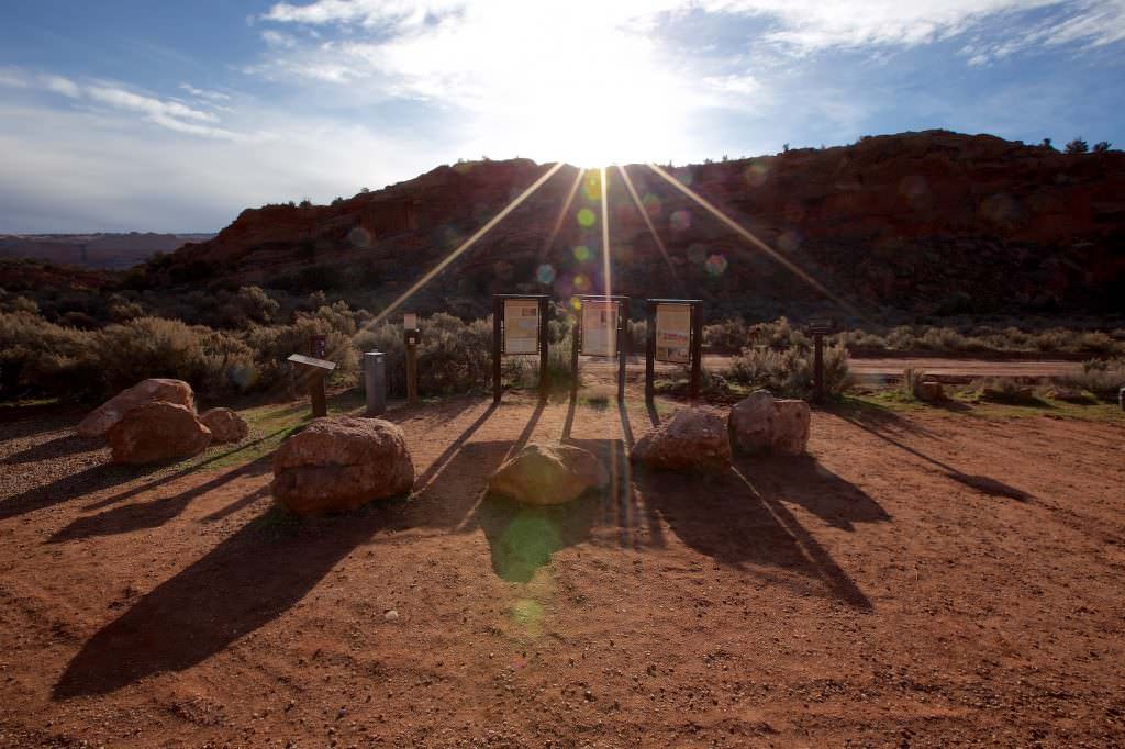
Wire Pass Trailhead - starting point for the hike to the Wave.
House Rock Valley Road
House Rock Valley Road
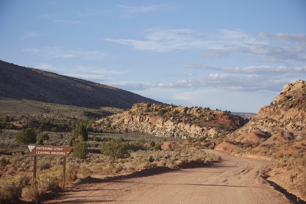
Stateline between Utah and Arizona
House Rock Valley Road
House Rock Valley Road
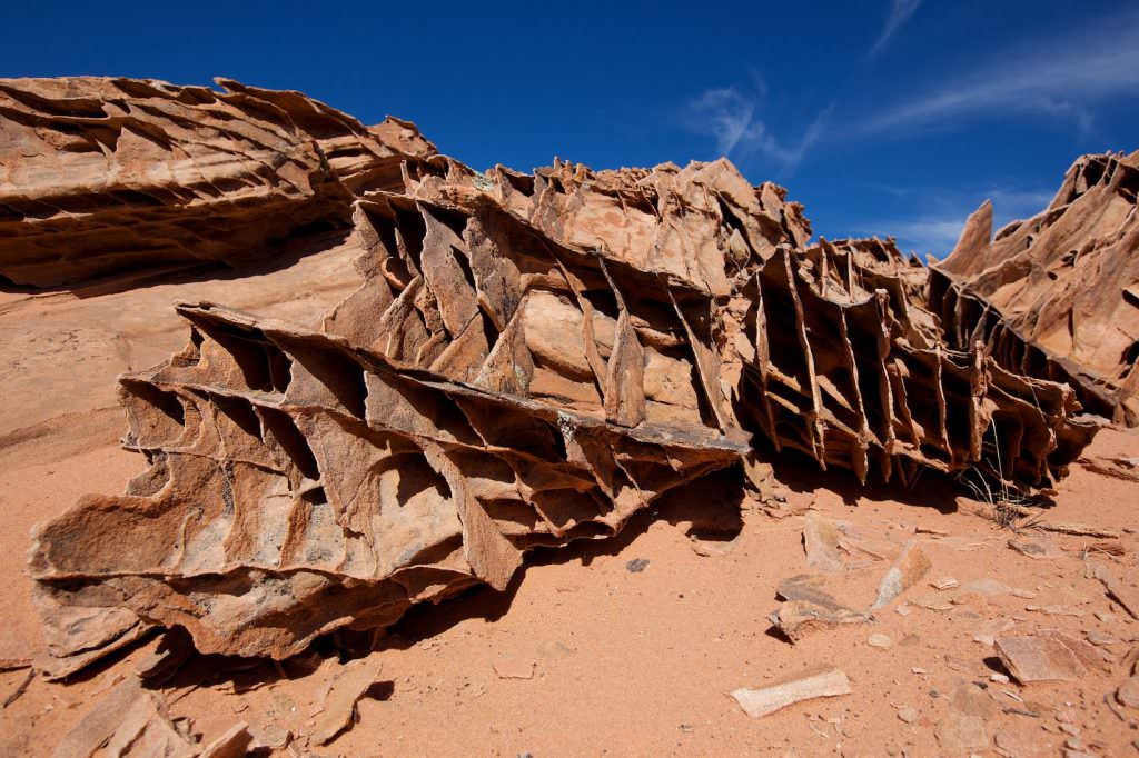
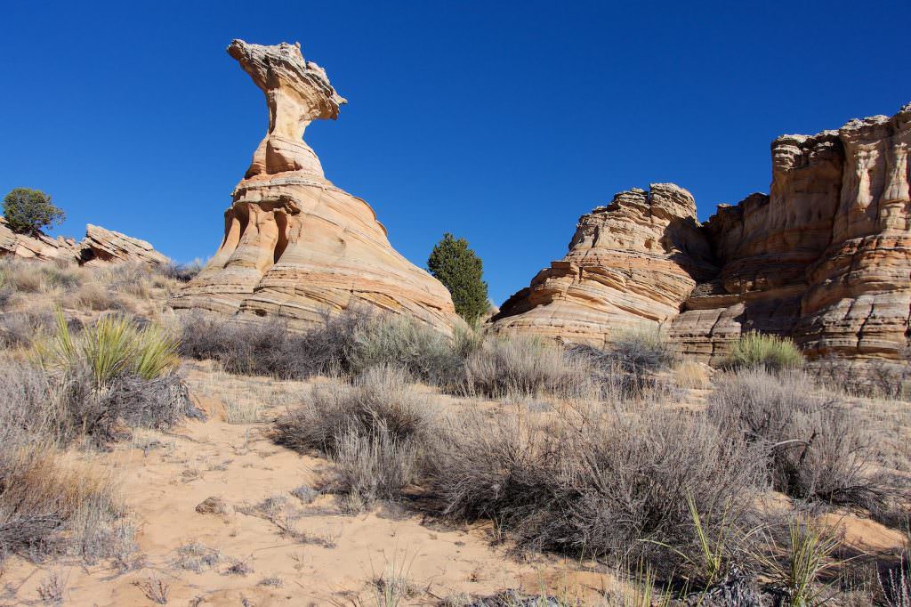
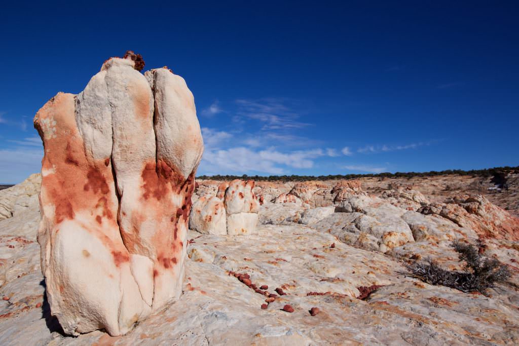
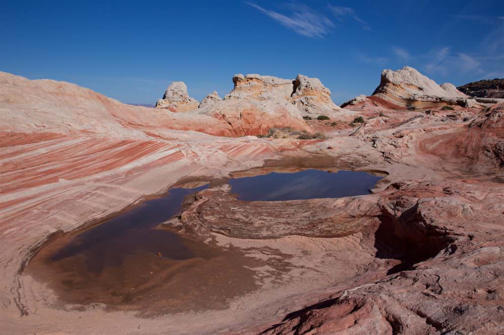
Highlights along the HRVR that we have visited and described in more detail
Since many locations are on dirt roads, it is always important to keep an eye on the road conditions as well. Even though the conditions on the dirt roads can change almost every hour, you can check here the condition on House Rock Valley Road.

