Note: On dirt roads, road conditions can change constantly. Therefore, we strongly recommend that everyone check the road conditions before each trip. We do not recommend driving on unpaved roads before, during or shortly after rain or snowfall.
Altitude above sea level: parking lot Earthquake Fault
6581ft
Coordinate: Junction from Highway 50: Latitude 39.286795, Longitude -118.130114
Our visits: So far 1 visit in September 2o19
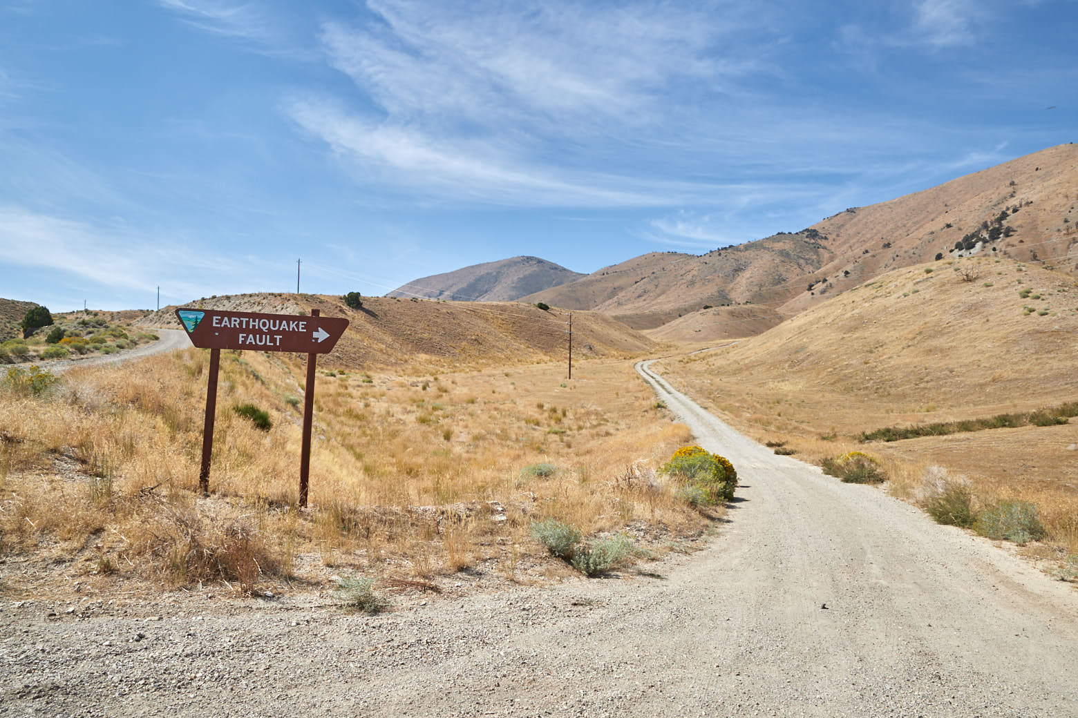
Earthquake Fault
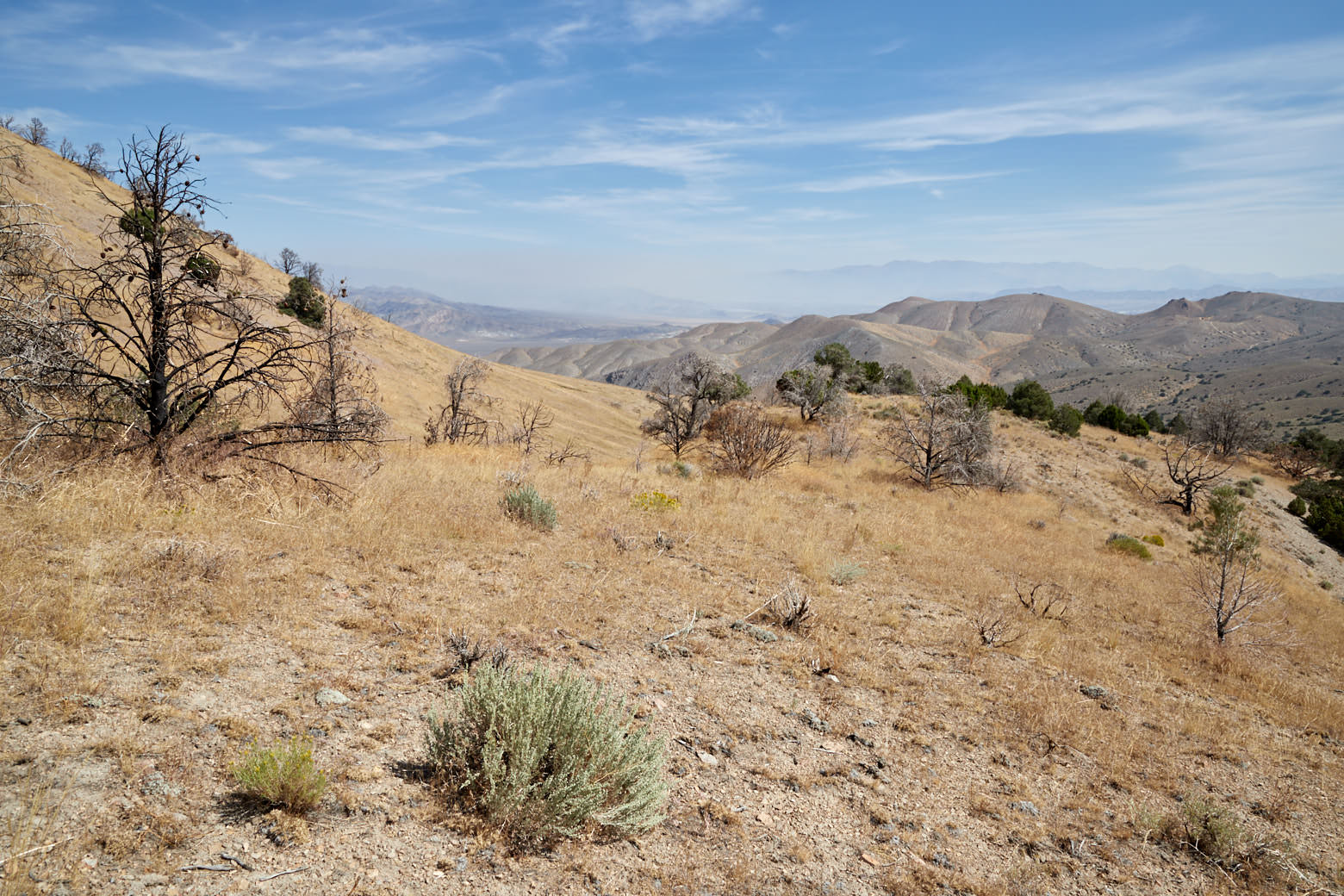
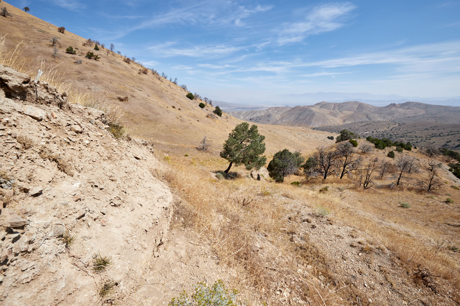
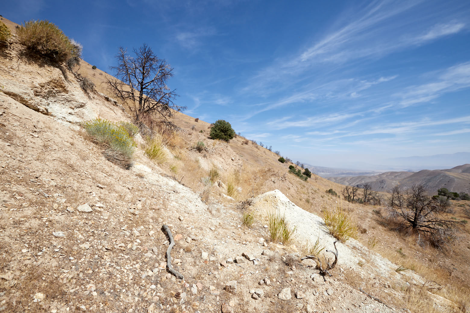
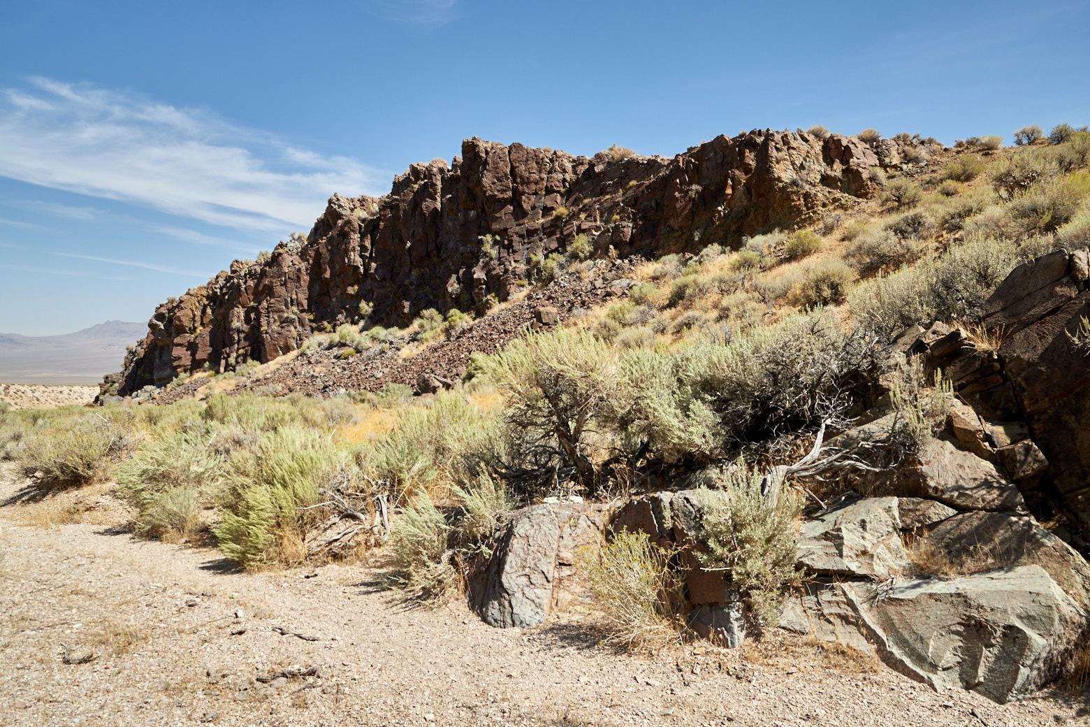
Description: The fold at this location occurred on Dec. 16, 1954, during an earthquake measuring 7.3 on the Richter scale. The earthquake occurred near Farwiew Peak a few miles south of Fallon.
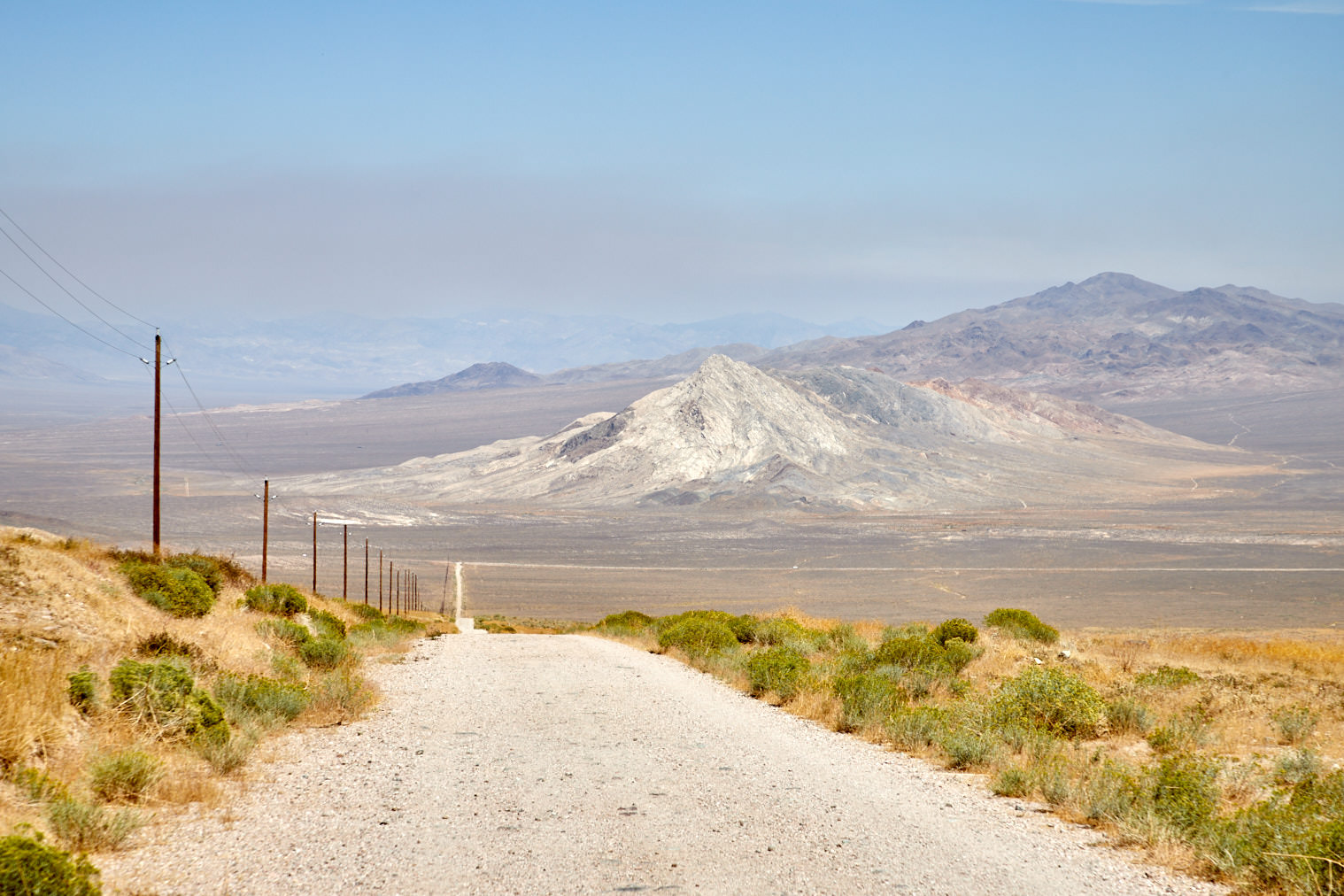
There you can still view part of the fold that was created. The trail is signed from Nevada Highway 50. It follows about 6mi of unpaved road to the trailhead. From there, you can hike a short distance along the fold in either a westerly or easterly direction.
Our rating: We became aware of the earthquake fold by a sign on the highway. Because we had expected perhaps a few interesting photo opportunities, we have made the short detour. The road to the trailhead was in quite good condition. It would have been possible to drive there with a passenger car.
The fold itself was then unfortunately less spectacular. In the course of time, everything is overgrown and so you must look closely to see something. Because we are interested in seismic activity, we have not regretted the detour, because it is fascinating to see what effects earthquakes can have.