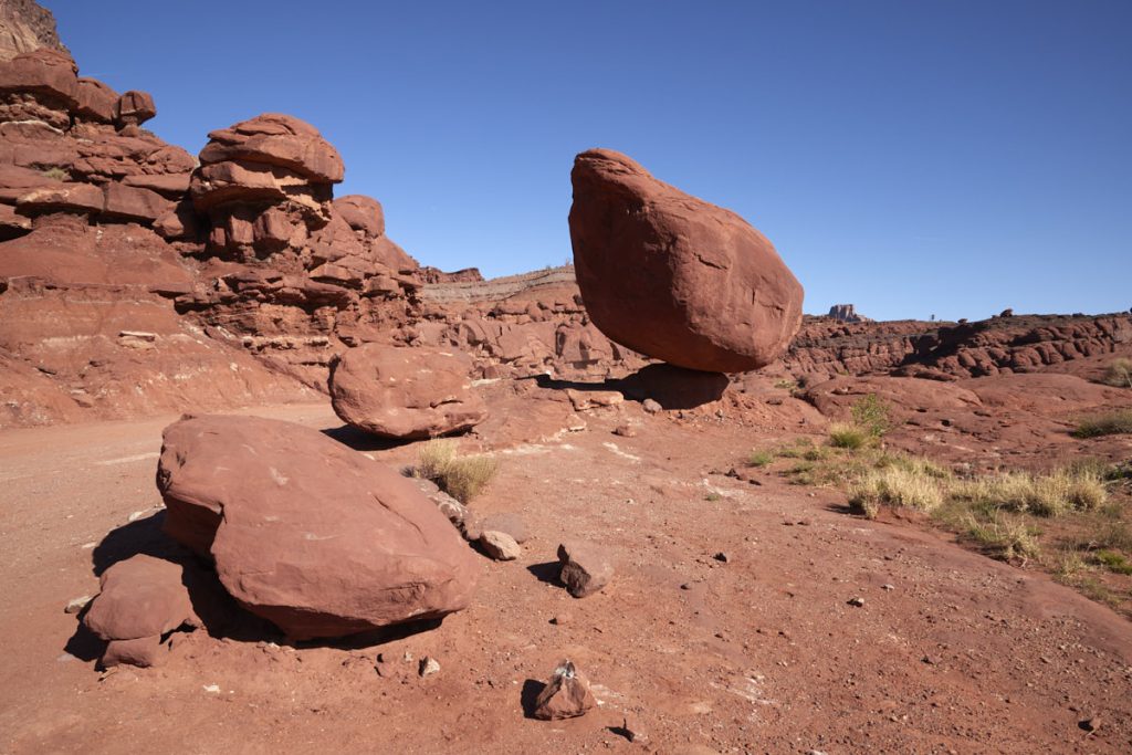
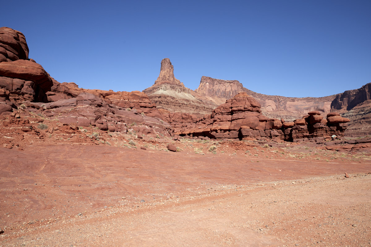
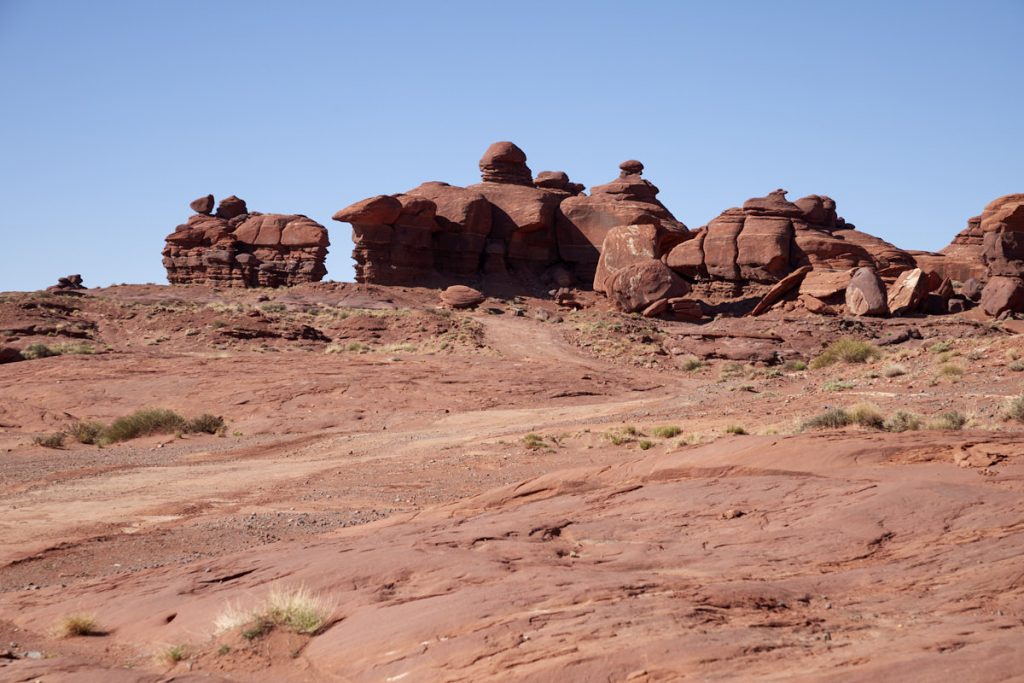
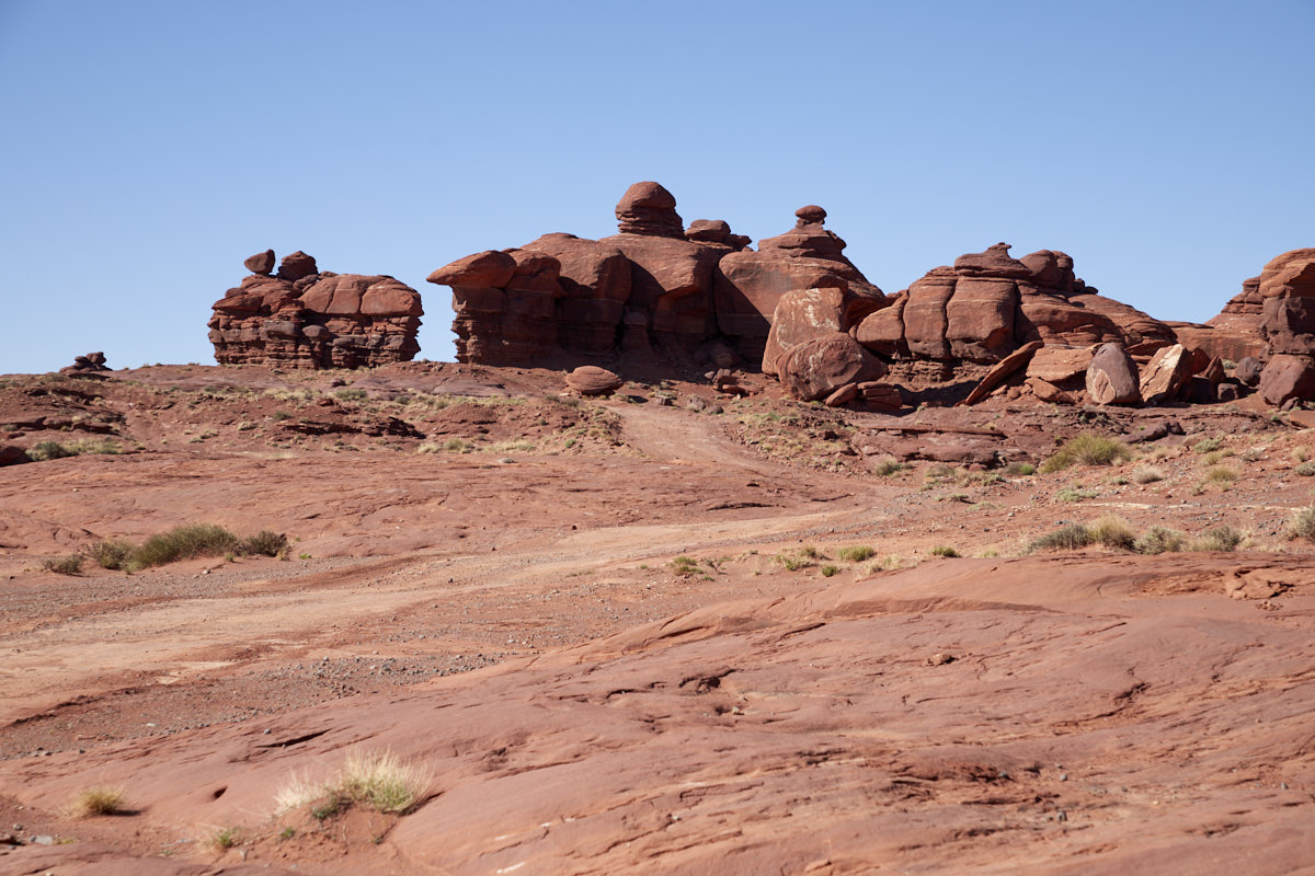
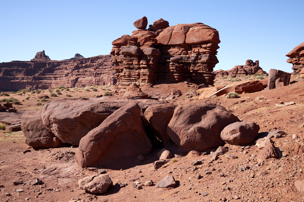
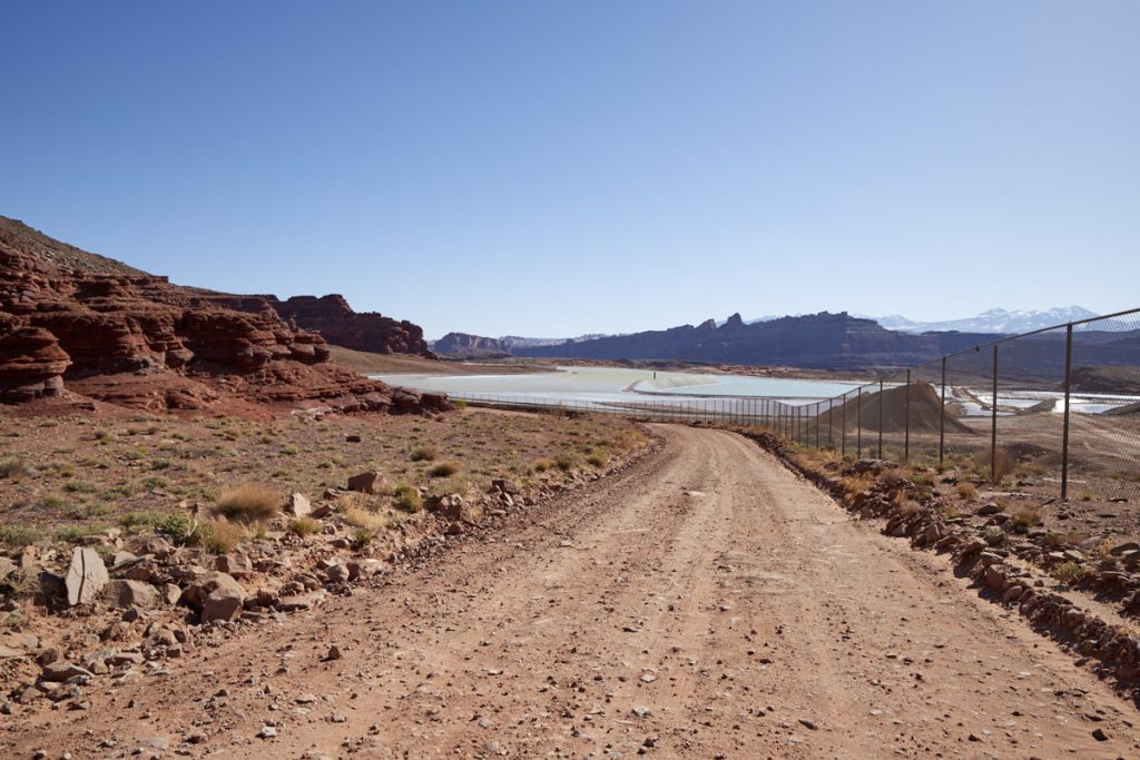
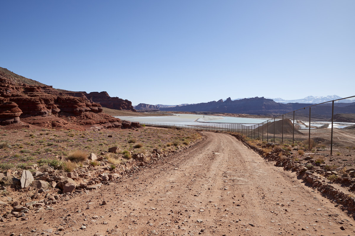
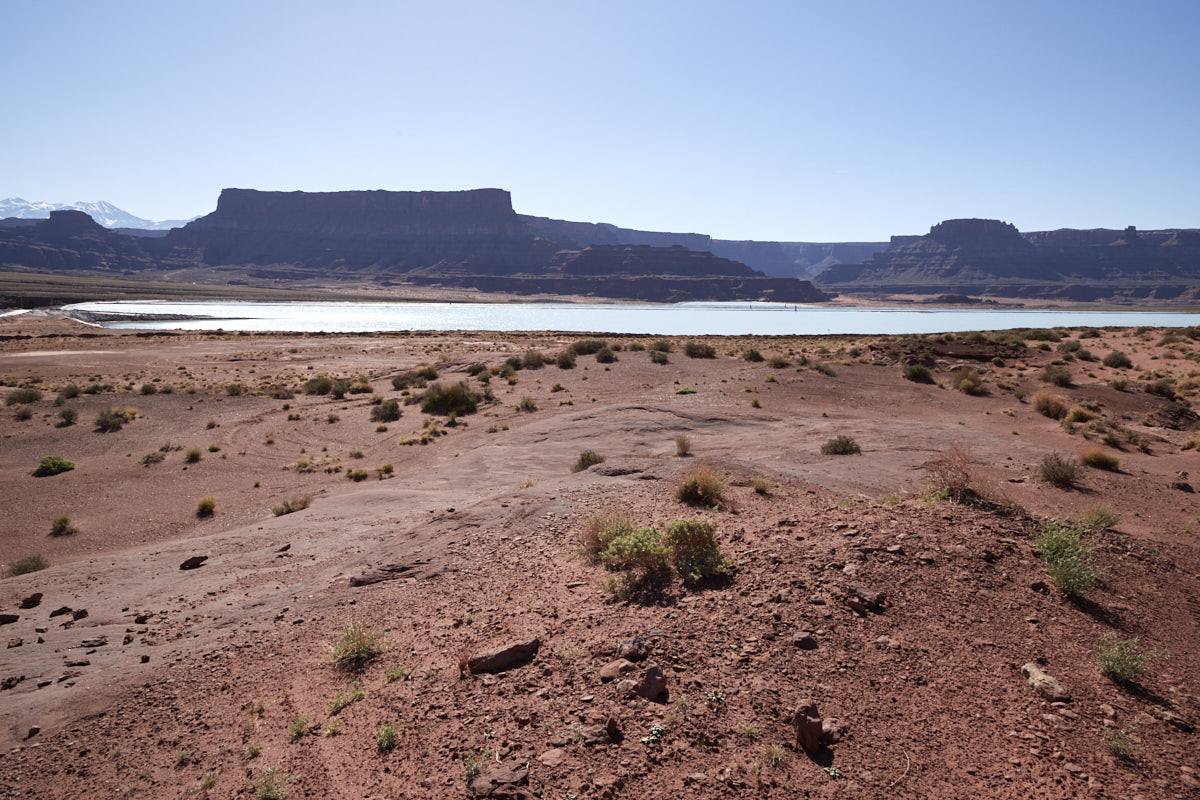
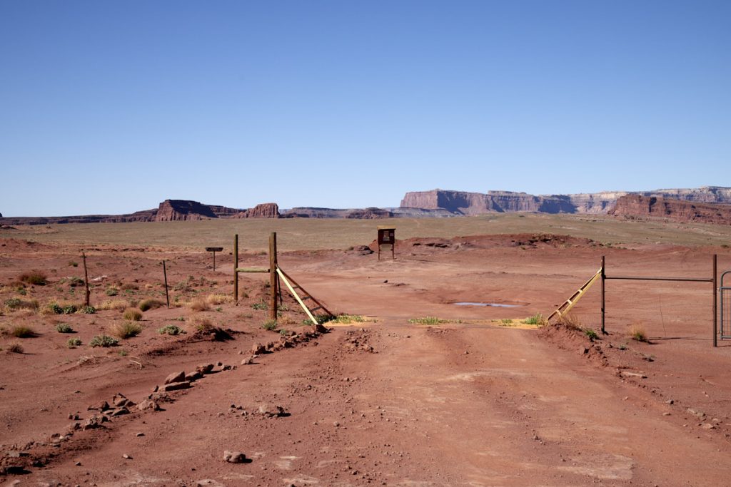
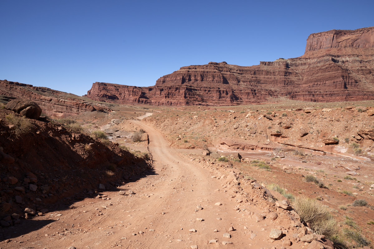
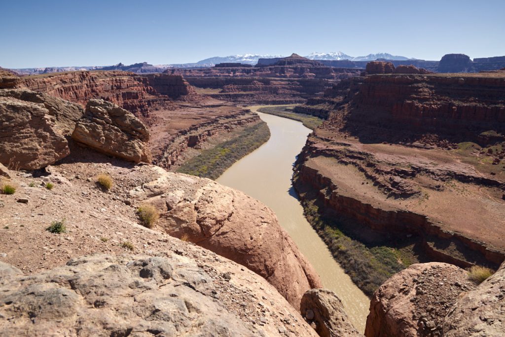
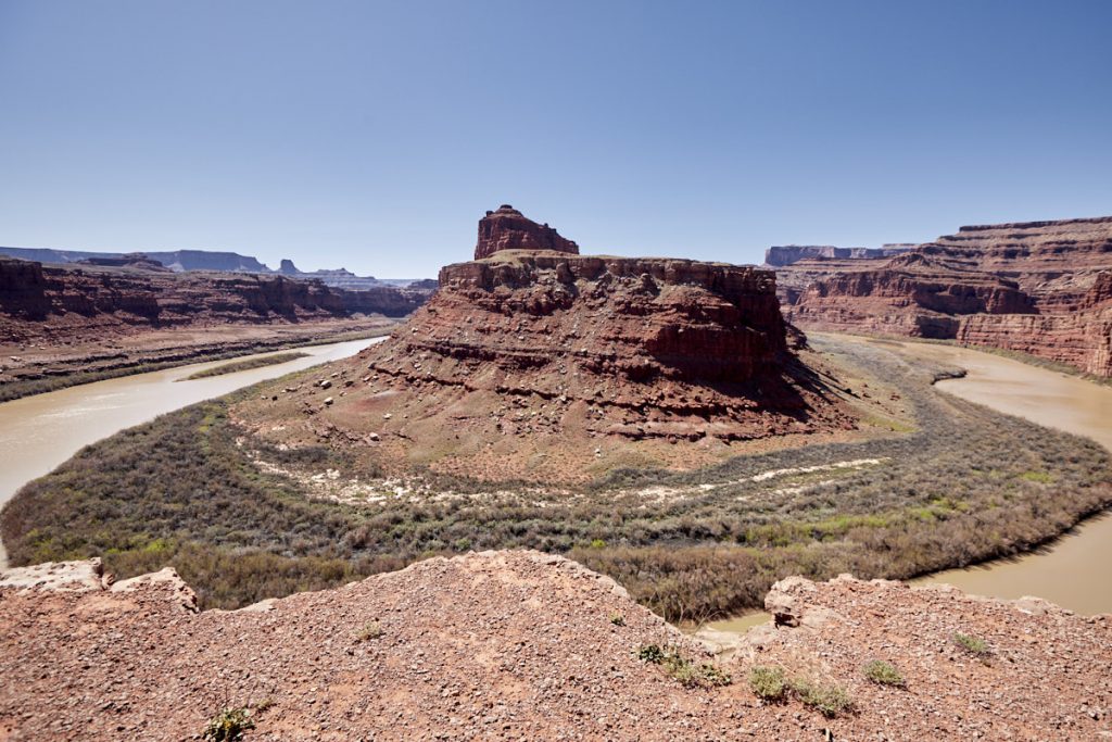
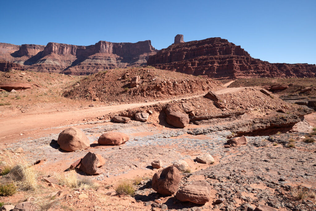
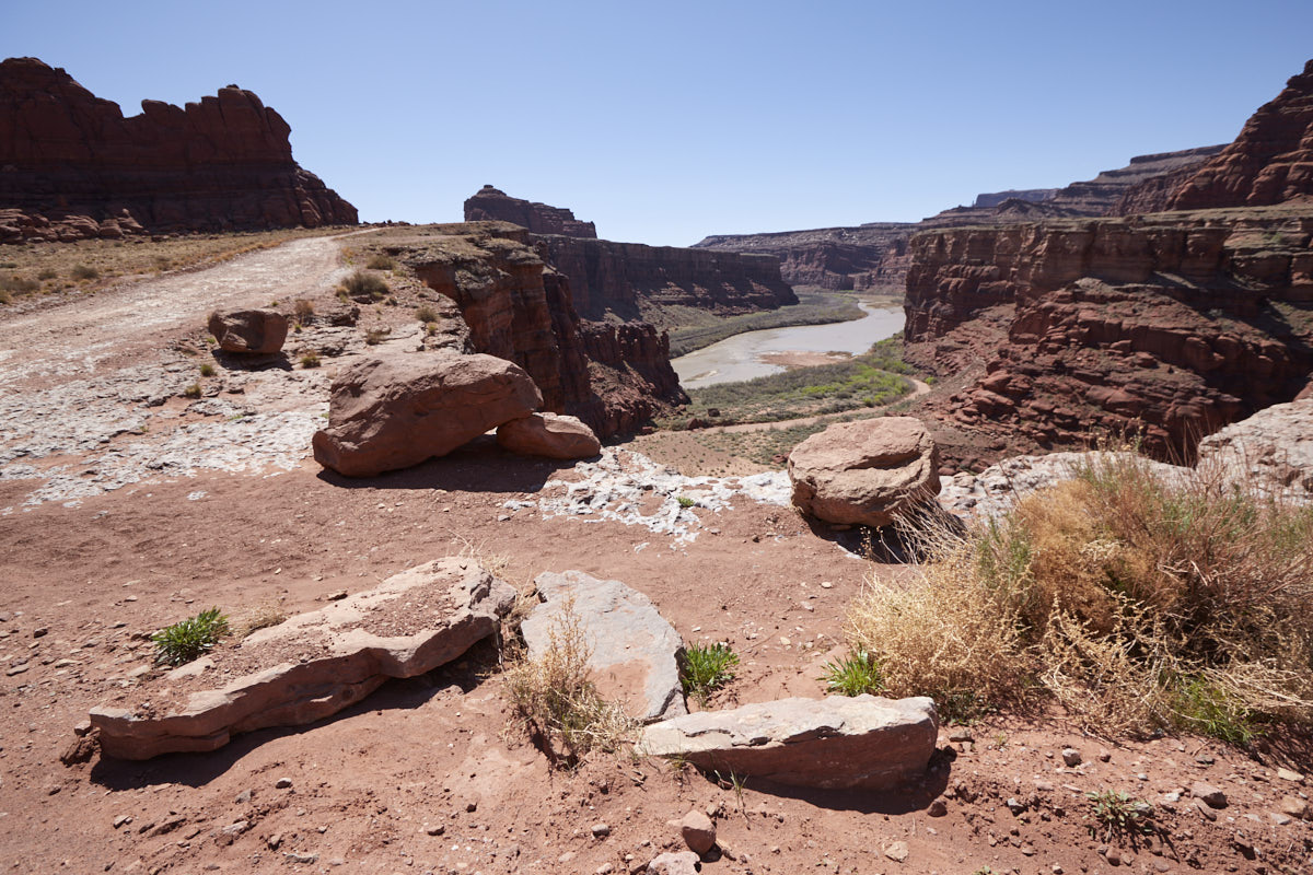
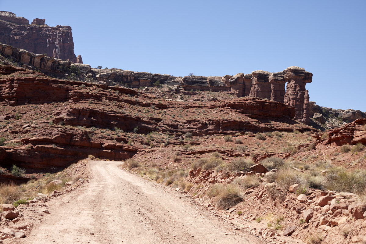
Description: This road leads from Moab to Canyonlands NP. The route is about 32mi long of which about one half is unpaved. Coming from Moab, you first drive along the Colorado River before the road slowly winds its way up through the beautiful canyon landscape. First you pass the huge potassium carbonate factory (potash) and the colorful potash pools that gave the road its name. The road is very rough and you will get shaken quite a bit. A vehicle with plenty of ground clearance is definitely recommended for the trip. The road climbs further and further and you pass by Thelma and Louise Point and the great Gooseneck Overlook. Here you are directly below the Dead Horse Point SP. Shortly after you reach the Canyonlands NP. Not much farther from here the Potash Road reaches the intersection with the Shafer Trail and the White Rim Road.
Our rating: The evaluation here is a little divided, because on the one hand you have the great scenery but on the other hand the really bumpy road, which takes some of the pleasure. Nevertheless, we recommend everyone who has an appropriate car to drive this route. It is worth it.
☆☆☆☆☆Bewertet mit 4 von 5
Note: On dirt roads, road conditions can change constantly. Therefore, we strongly recommend that everyone check the road conditions before each trip. We do not recommend driving on unpaved roads before, during or shortly after rain or snowfall.


