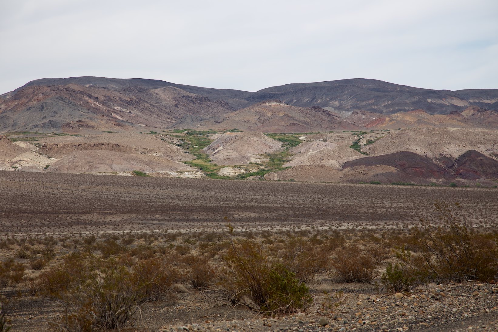
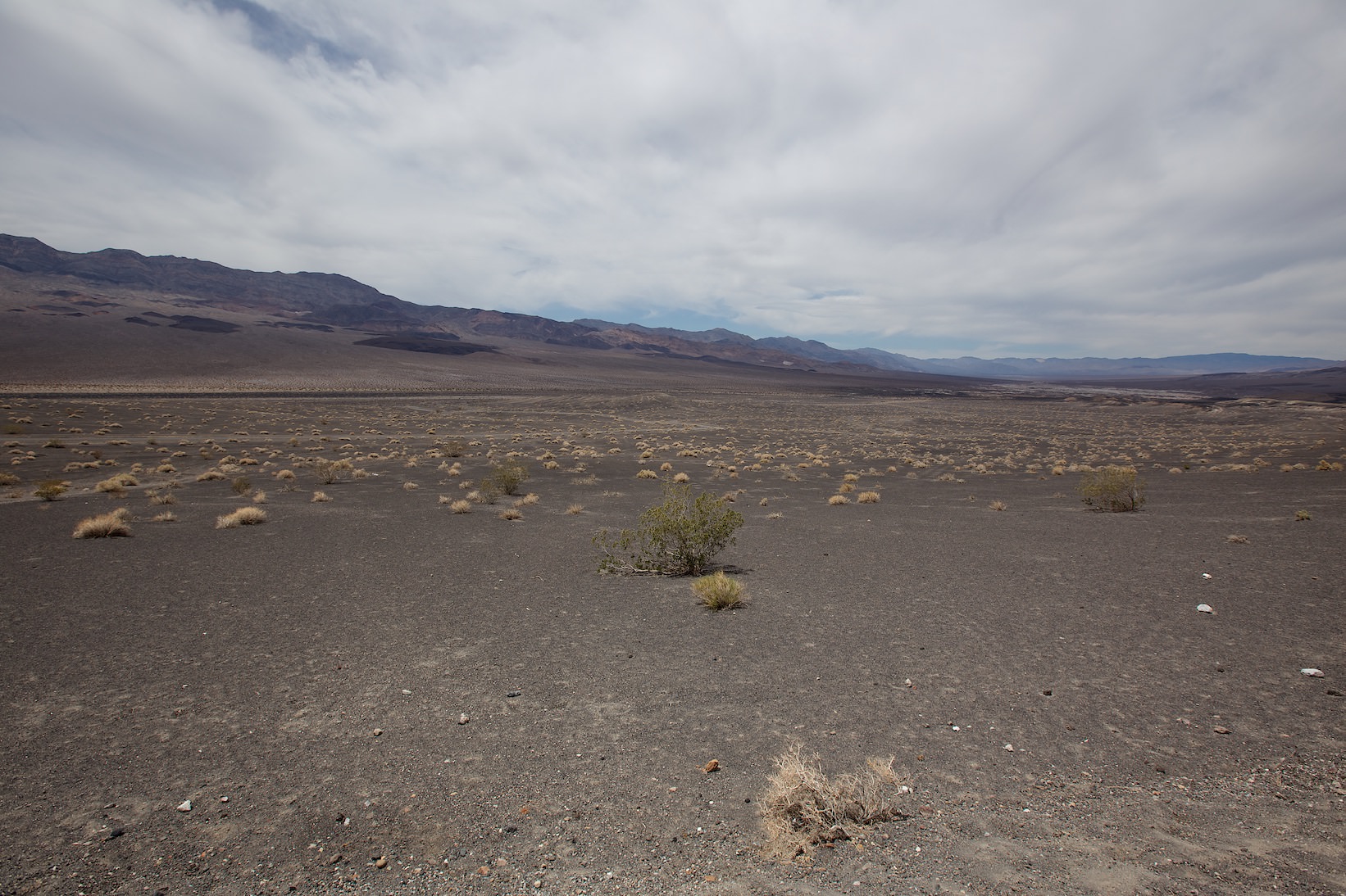
The national park protects two desert valleys, Death Valley and Panamint Valley. They are surrounded by high mountain ranges. The lowest point of the park is 282ft below sea level. During the summer, the temperature can reach well over 104°F.
Visitor number 2000
0
Visitor number 2010
0
Number of visitors
In 2023, Death Valley NP ranked 23rd in the visitor statistics of the most visited national parks. Best time to visit:Spring is great for blooming flowers and winter because of the temperatures. Our visits: So far 4 visits: August 1994, September 1999, May 2013 and June 2023
*The Anual Pass is so to speak the "flat rate" for all Parks managed by the National Park Service. The pass costs a one-time fee of $80 and can be purchased at the entrance to each National Park, National Monument, etc. The pass is valid for 13 months.
Accommodation Tip: During our visit in May 2013, we stayed at Furnache Creek Ranch. We liked it very much. Our more detailed review can be found on our Hotel page.
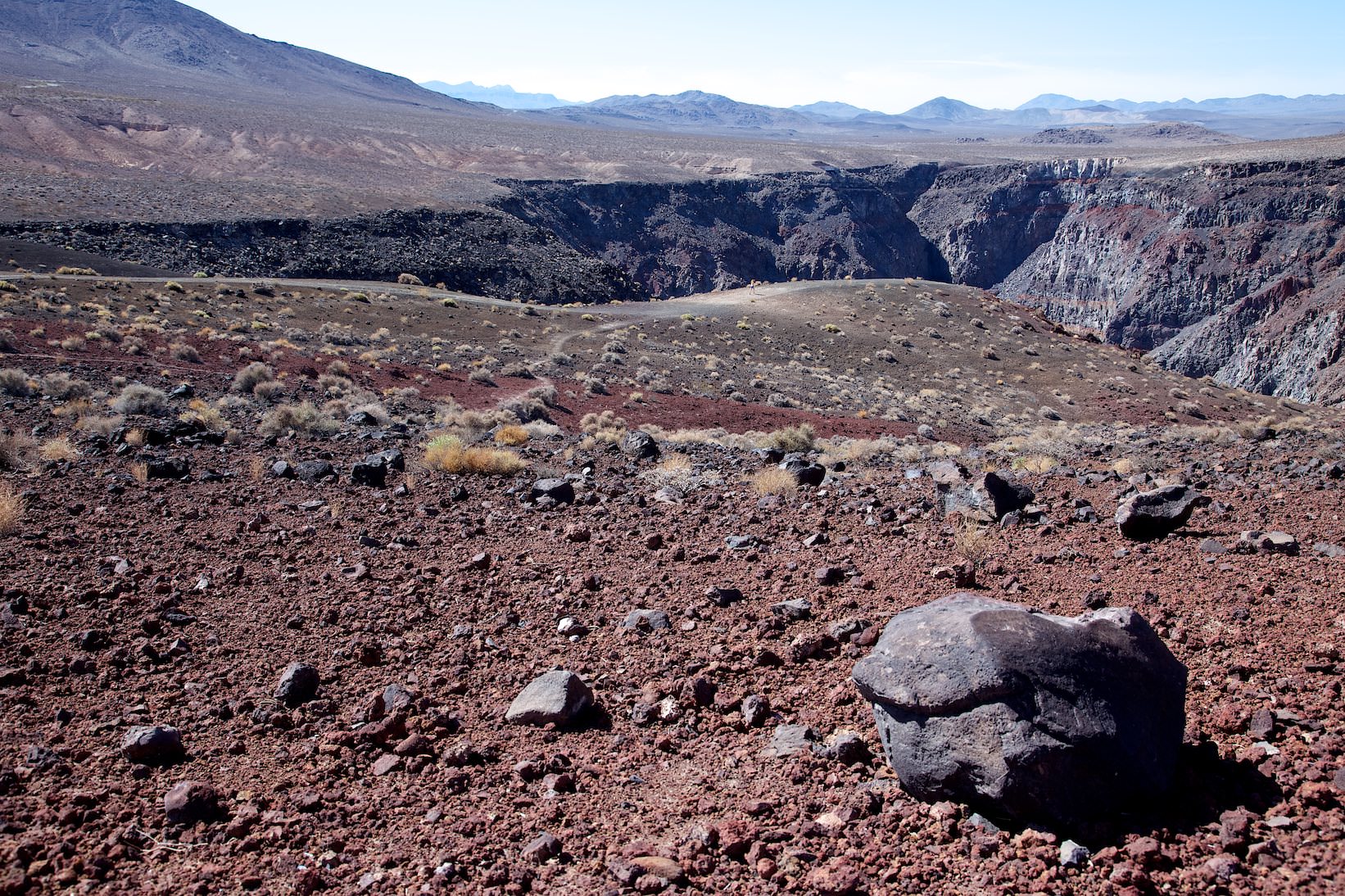
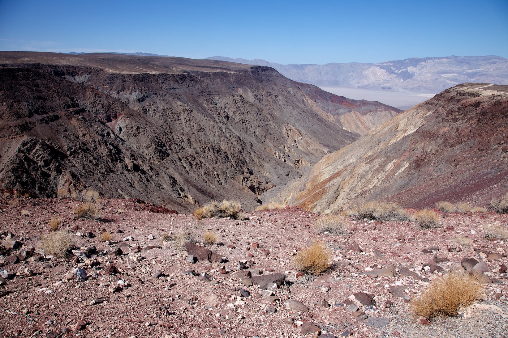
Description: The canyon is often used by the Air Force for training flights. Therefore, the viewpoint is very popular with photographers who want to take pictures of jets from above.
Our rating:Nice first stop when coming into the park from the west.
☆☆☆☆☆Bewertet mit 2 von 5
Rainbow Canyon - Father Cowley Vista Point
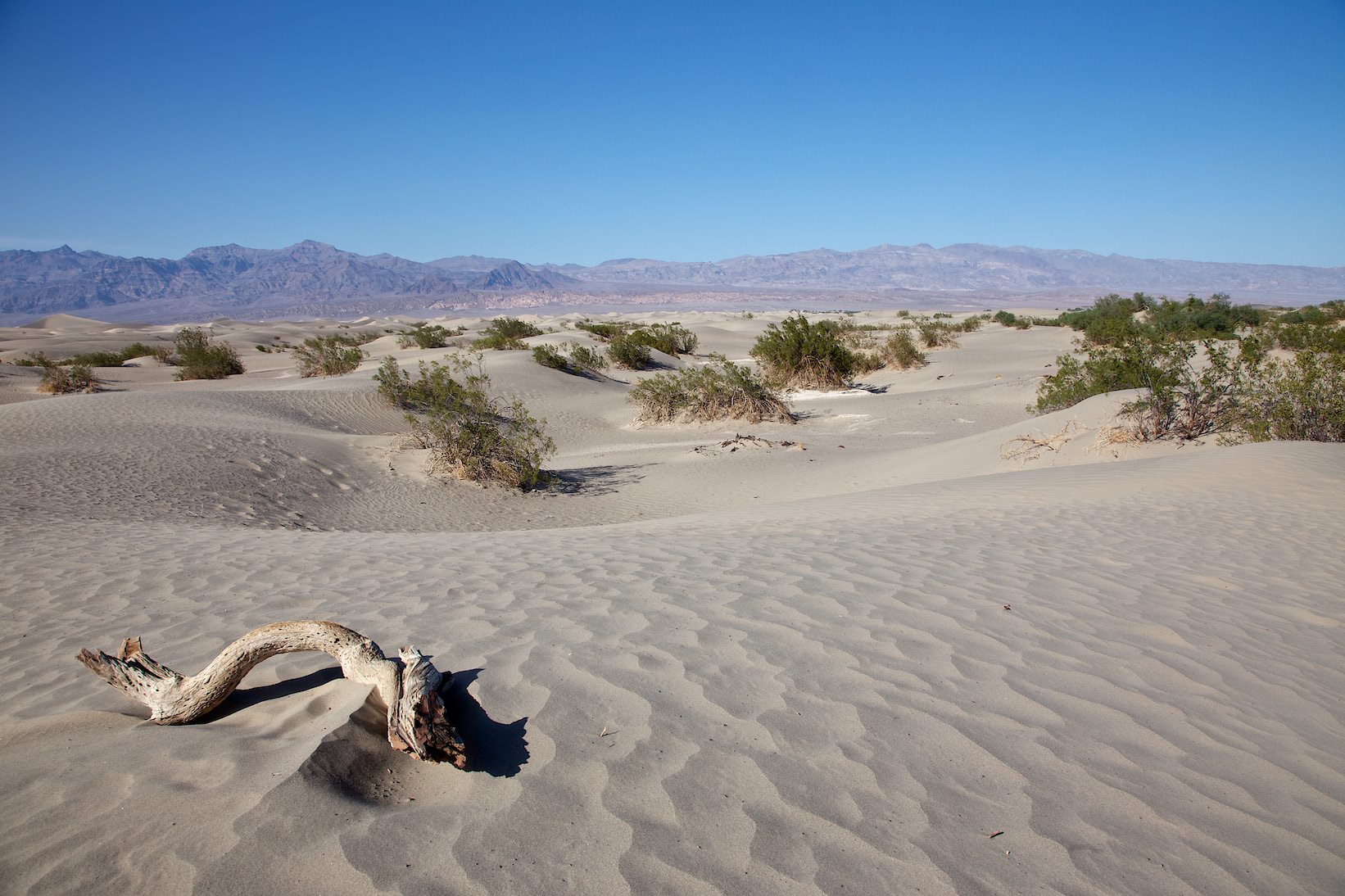
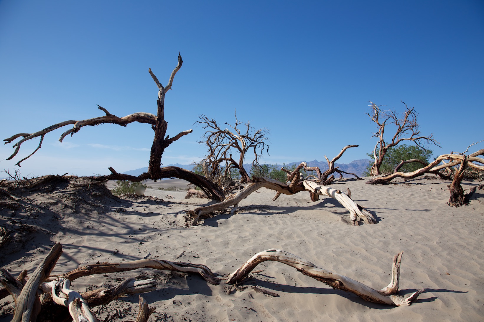
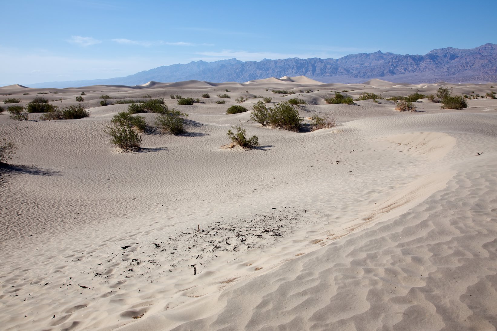
Mesquite Flat Sand Dunes
Mesquite Flat Sand Dunes
Description: The dunes, which are about 165ft high here, have often served as a desert setting for movies. Among other things, sequences of Star Wars were filmed here. Who wants to hike here in the dunes, should think in any case of a hat and enough water. There is no shade and the temperatures are often very high.
Our rating:A first highlight in the park. It's fun to hike through the sand assuming the temperatures aren't too high.
☆☆☆☆☆Bewertet mit 3 von 5
Mesquite Flat Sand Dunes
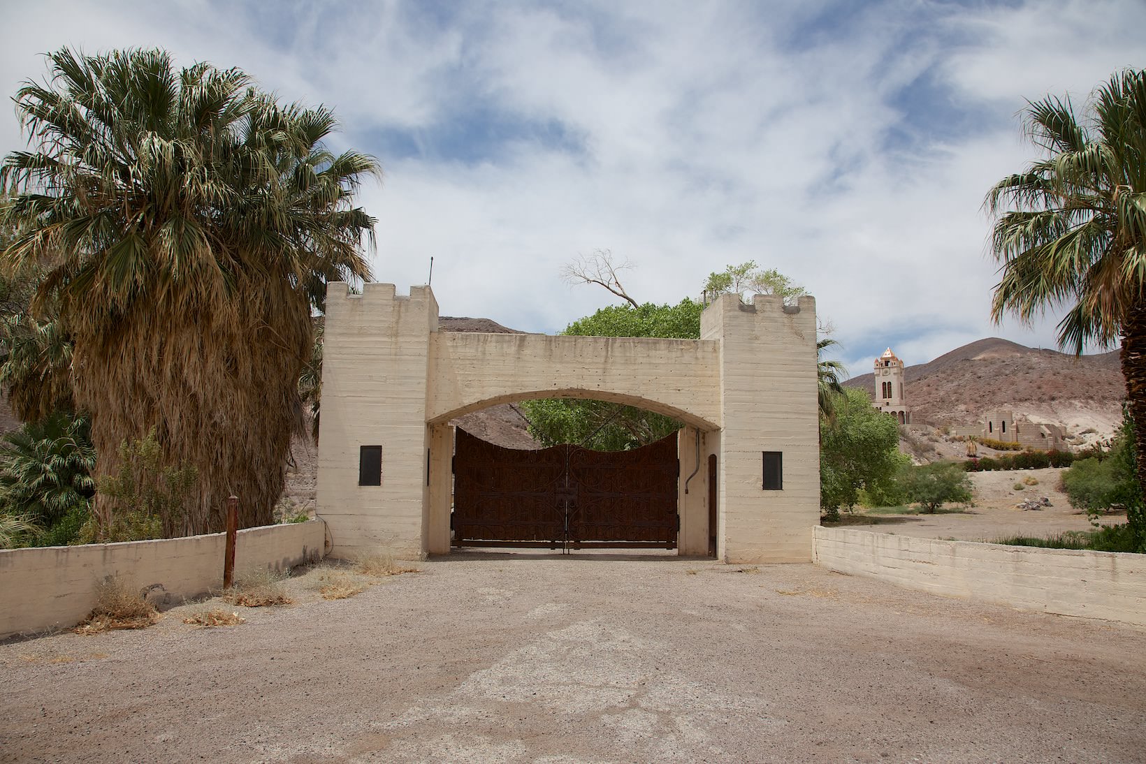
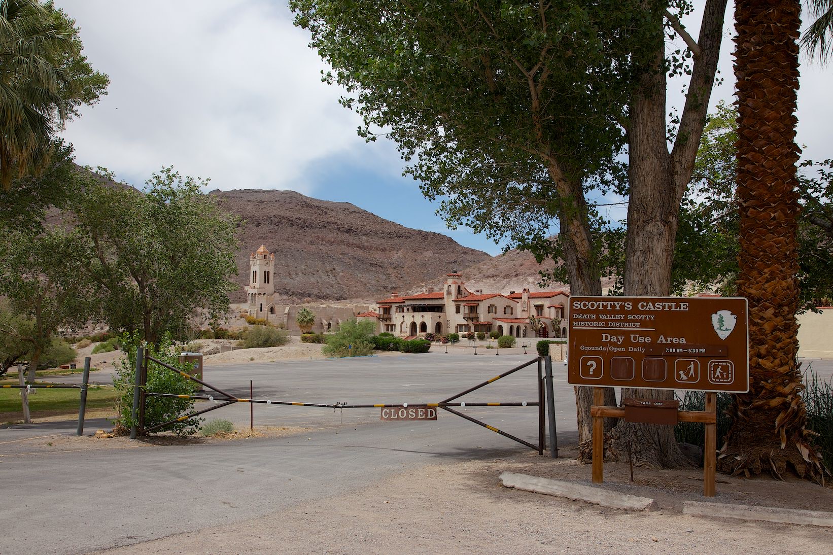
Scotty`s Castle
Scotty`s Castle
Description: Scotty's Castle is a two-story mansion built in the Mission style and named for prospector Walter E. Scott. However, it is not a castle, nor was Scott ever its owner. In 2015, large portions of the site, as well as the access road, were destroyed in a flood. Since then, Scotty's Castle has been closed to the public. A reopening is planned for the end of 2021. However, this deadline was not met. Scotty's Castle remains shot until further notice. Everything you need to know about the renovations. Those who are interested in the progress of the renovation in more detail can book here an Scotty´s Castle Flood Recovery Walking Tour .
Our rating: During our visit in May 2013, the facility was also closed for renovation. From the outside, the building looks quite interesting, but we can't really give a rating. The visit here remains on our bucket list.
Scotty`s Castle
Ubehebe Crater
Ubehebe Crater
Description: Ubehebe is the Indian word for Großer Korb im Fels. The crater is about 800 years old, has a diameter of about one kilometer and a depth of 755ft. From the viewpoint you can hike around the crater rim on a trail or hike down into the crater.
Our rating:Quite nice and impressive viewpoint. Probably you can better grasp the dimensions if you climb down into the crater. We left it at the view from above.
☆☆☆☆☆Bewertet mit 2 von 5
Ubehebe Crater
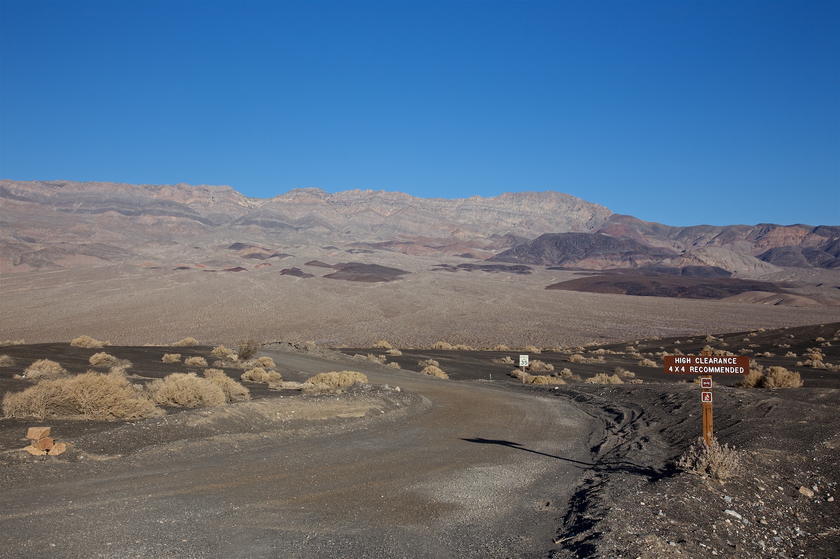
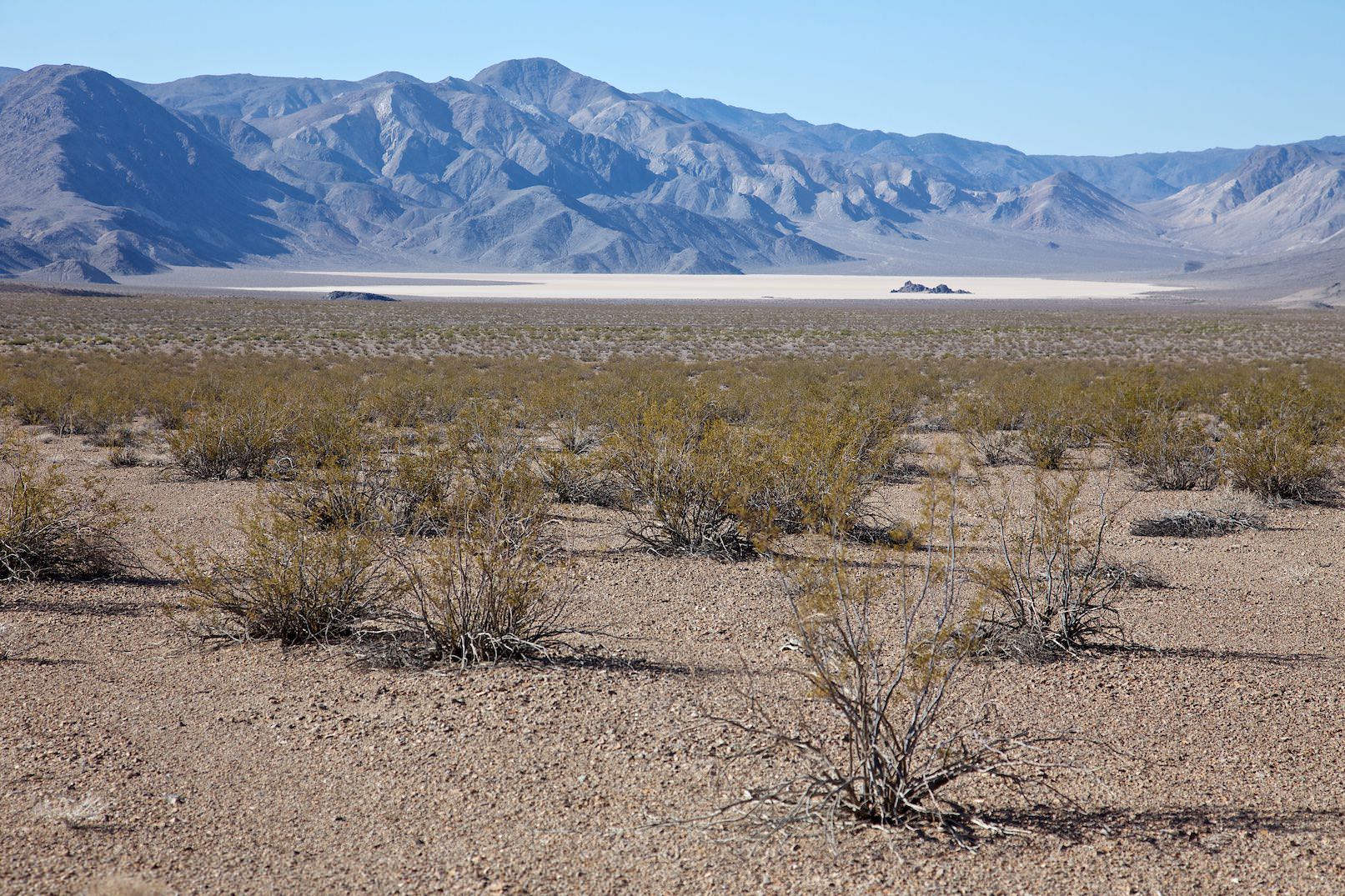
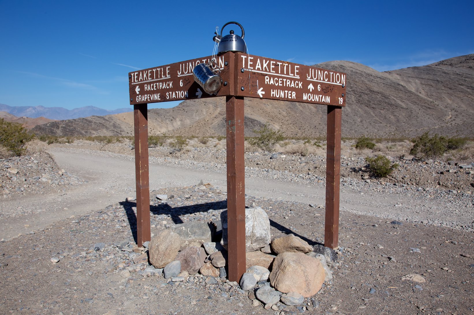
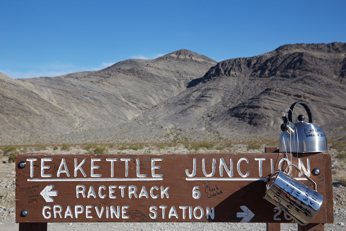
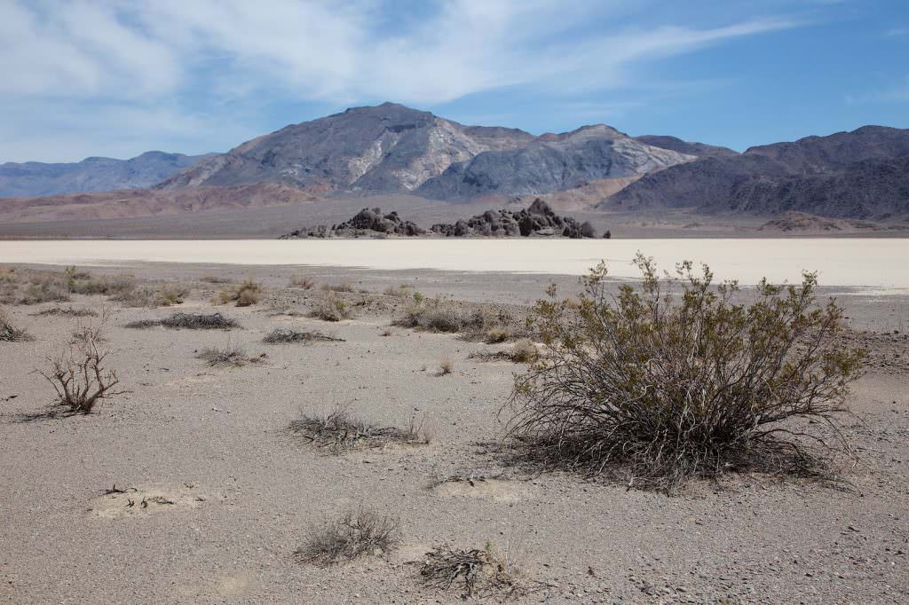
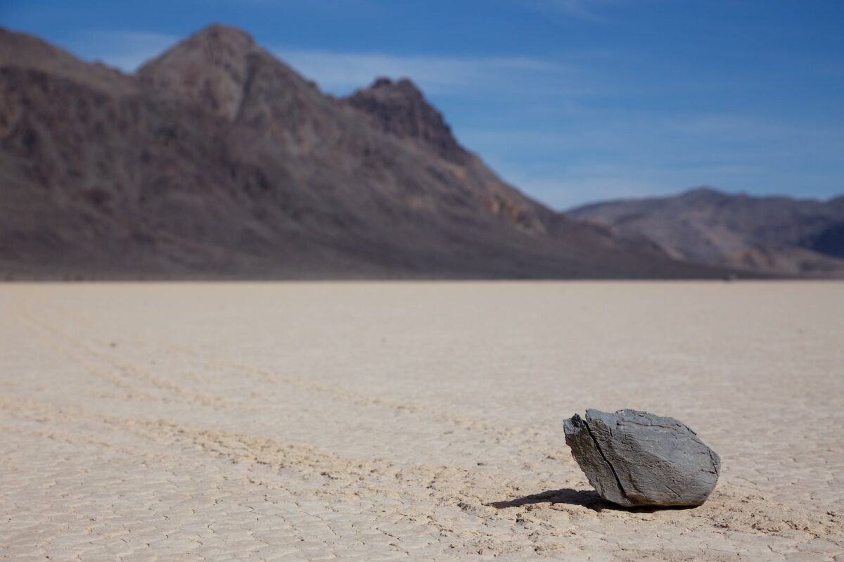
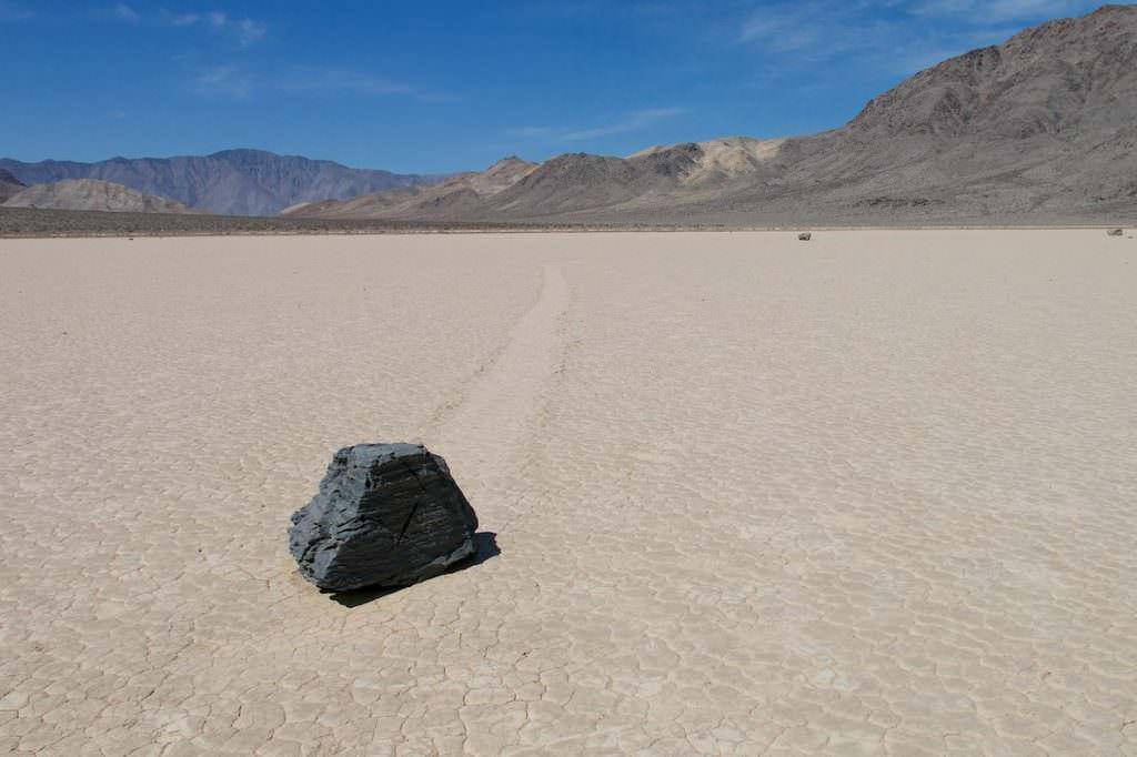
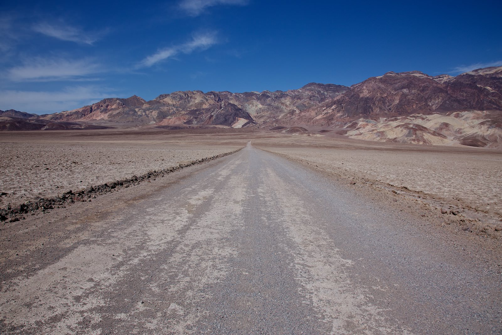
Junction to the Racetrack
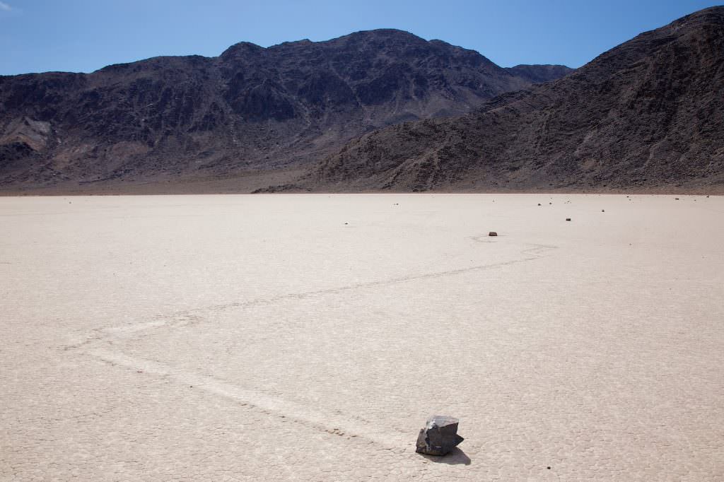
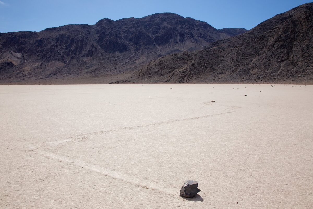
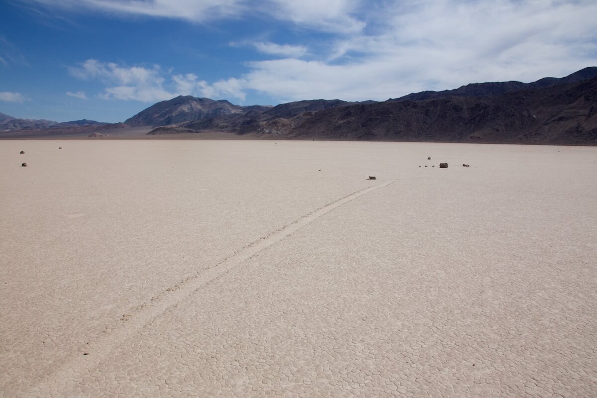
Racetrack
Description of how to get there: The drive is about 37.5mi long and leads over a dirt road, which is considered tire-killing because of its sharp stones. So you should have at least one spare tire with you. We drove the route in May 2013. Neither a particularly high ground clearance nor a four-wheel drive was necessary. The road is very long, so we would recommend everyone to inquire about the road condition at the Visitor Center beforehand. This way you can save the long drive if the road is closed. From Furnace Creek to the Racetrack we needed 3 hours.
Hike Description: You can't really call it a hike, because you walk the whole time on the dry lake towards the mountains. The most strenuous part is the drive. You have to walk for a while until you see the wandering stones. So don't give up right away, the stones are there. We found most of them near the mountains.
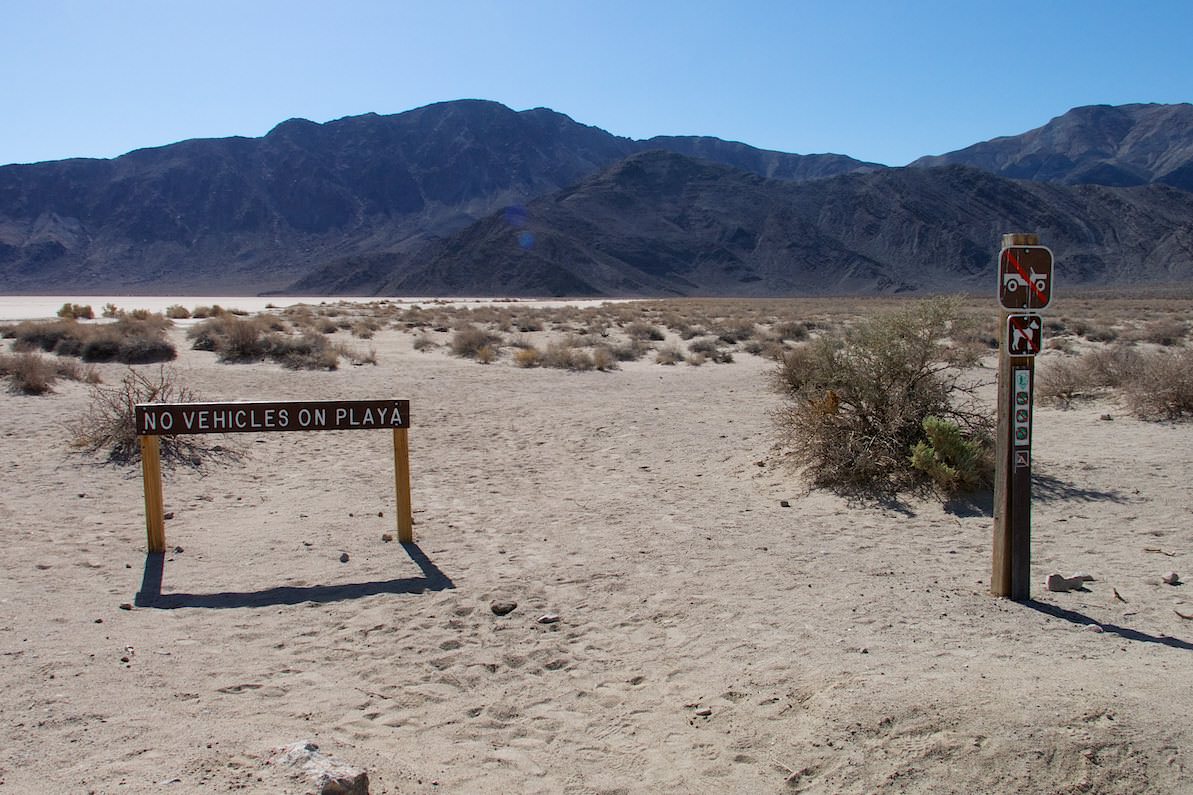
Attention!!! It is strictly forbidden to enter the lake if it is not absolutely dry. The traces you leave behind destroy the surface. Since it rains very rarely here, the traces often remain visible for a very long time. It hopefully goes without saying that you should not drive your car on the playa. As a reminder, however, there are also signs.
Our rating:We thought this place was great. It had something mystical and special for us. Locating and looking at the wandering stones was especially beautiful. If it wasn't for the miserable drive, we would certainly come here again. If only to see the Teakettle Junction with more than two teakettles.
☆☆☆☆☆Bewertet mit 4 von 5
Road to the Racetrack
Racetrack
Racetrack
Racetrack
Racetrack
Racetrack
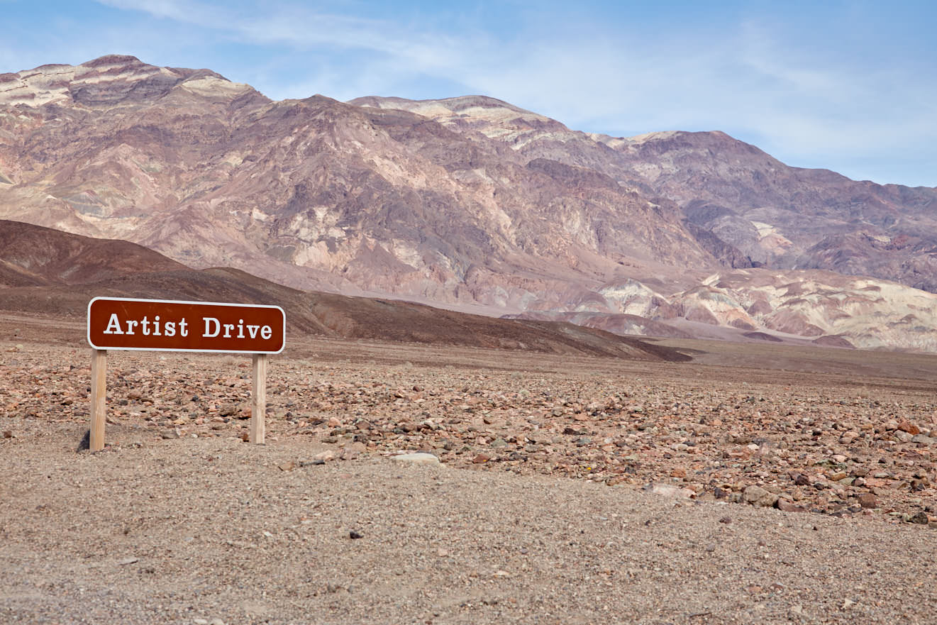
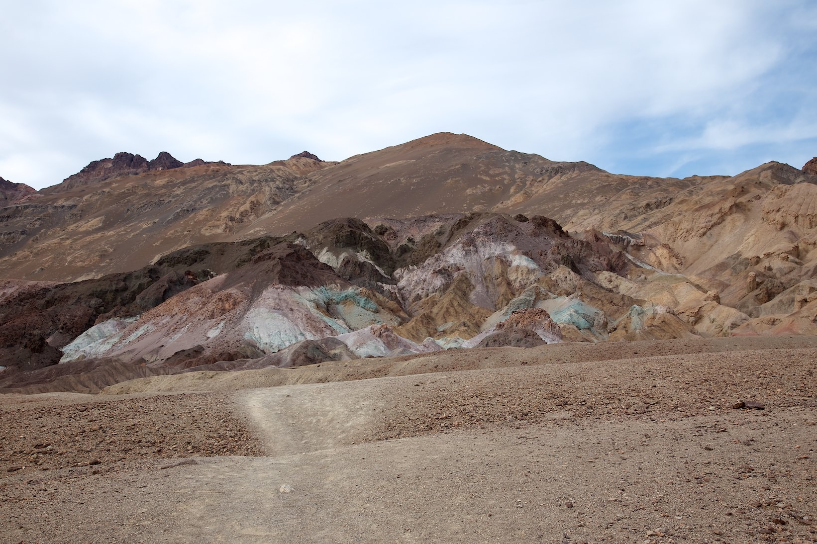
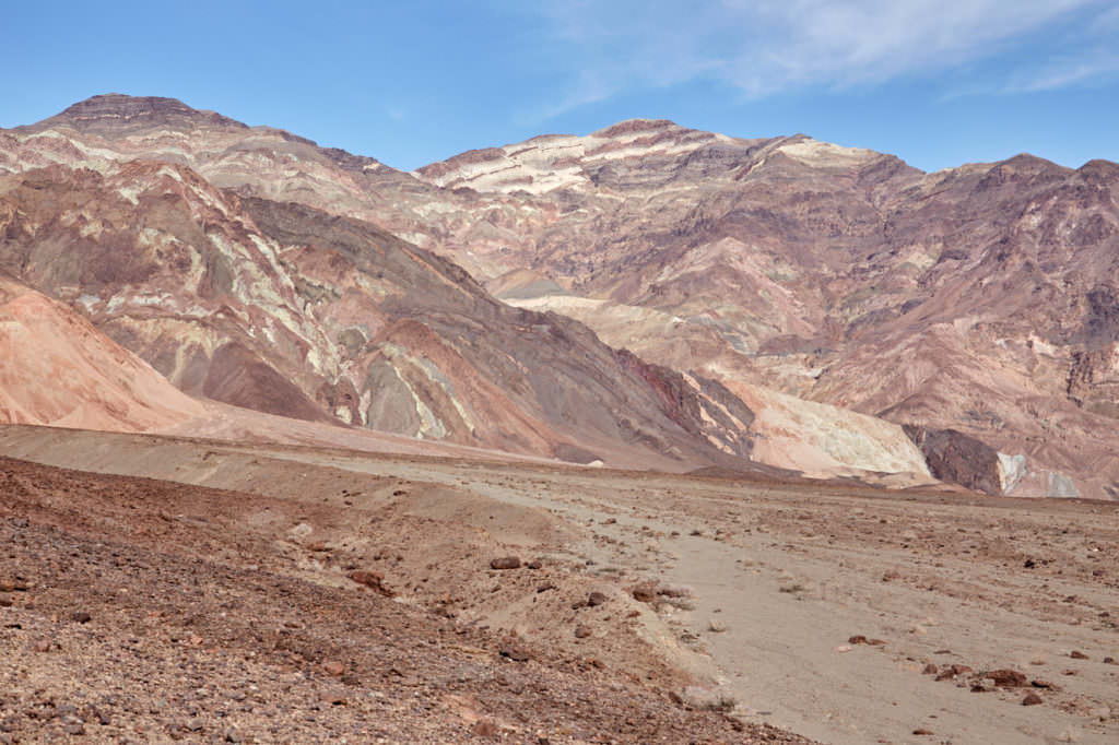
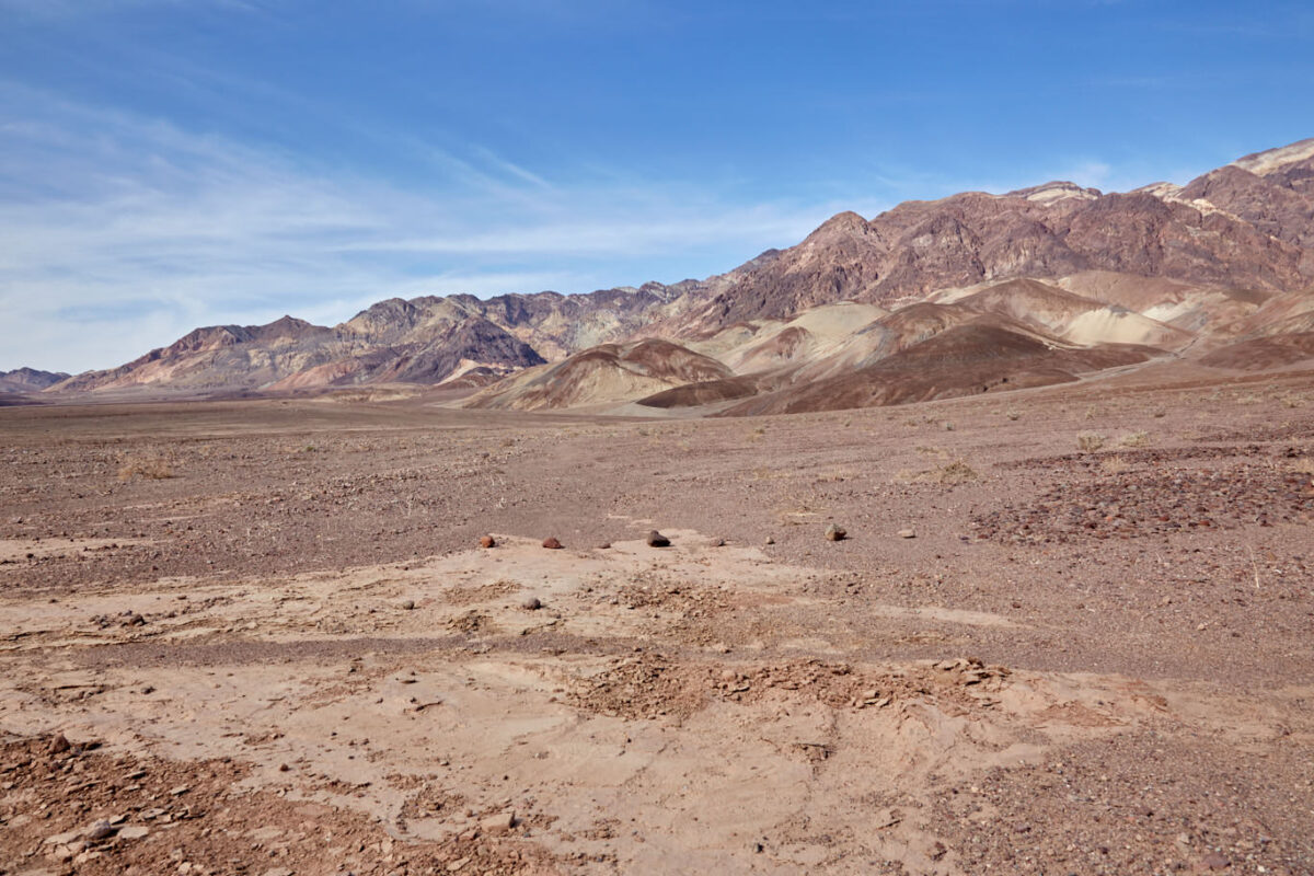
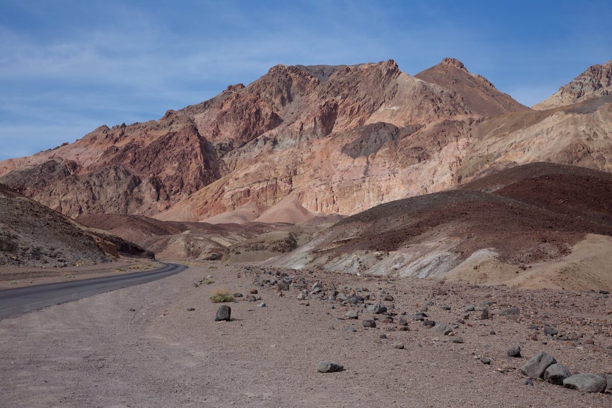
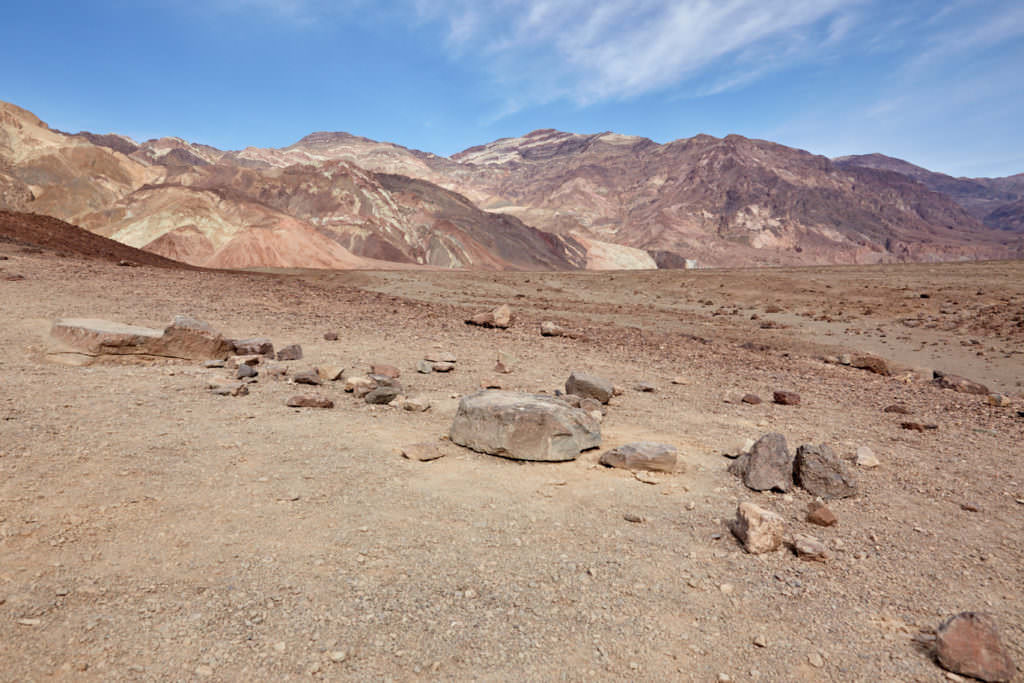
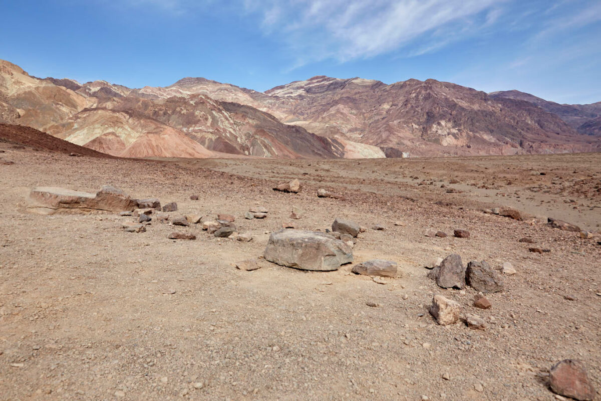
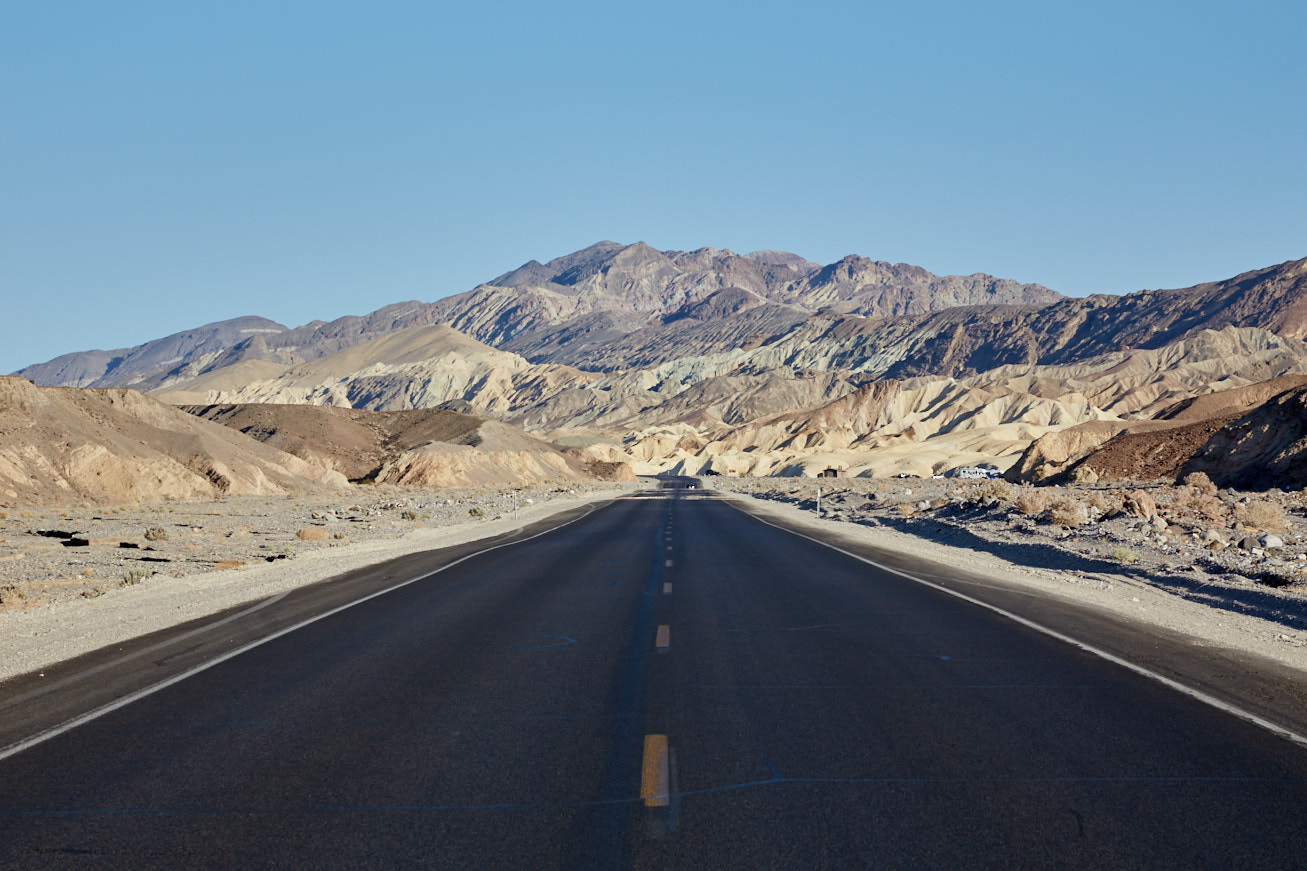
Artist Drive
Description: Artist Drive is a 9.3mi scenic road that turns off from the main road through the national park. It leads past multi-colored rock formations. These are formed by the oxidation of various metals. The special attraction is the Artist Palette. Here the rocks glow in all the colors of the rainbow. These are particularly well accentuated in the afternoon light.
Our rating:Quite nice Scenic Drive with a few viewpoints to stretch your legs. You can definitely take a look at it during a visit to Death Valley.
☆☆☆☆☆Bewertet mit 3 von 5
Artist Drive
Artist Drive
Artist Drive
Artist Drive
Artist Drive
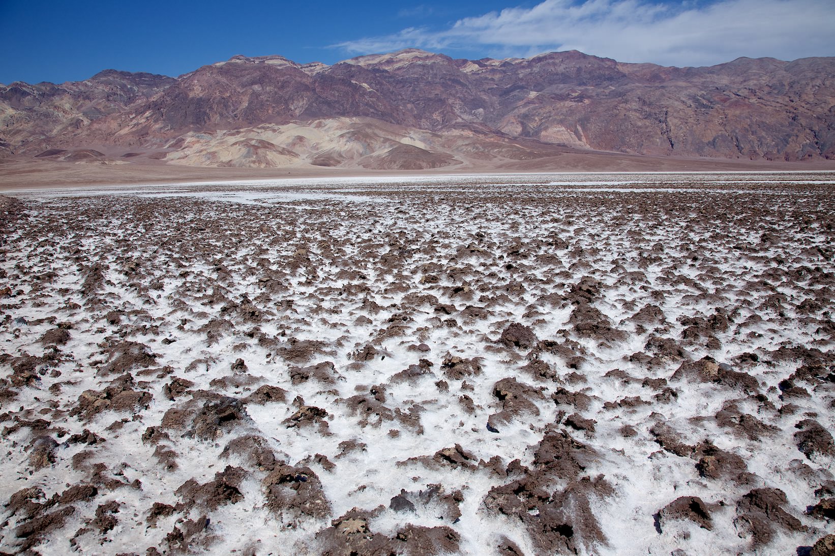
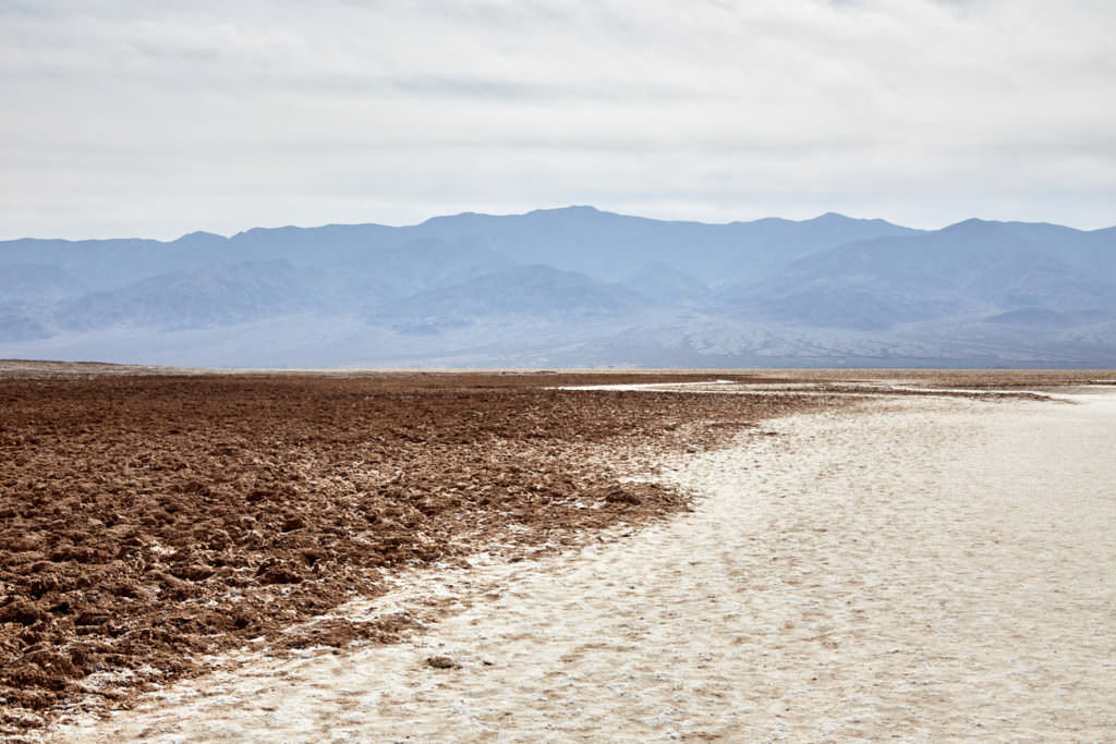
Devils Golfcourse
Description: The junction off the park road is a small dirt road that leads into a rugged and bizarre world of salt deposits. These formed when the lake (Lake Manly) that once covered the entire Valley floor disappeared. It looks a bit like a herd of moles plowed through the ground.
Our rating:Quite interesting. If you look very closely, you can see the salt crystals.
☆☆☆☆☆Bewertet mit 2 von 5
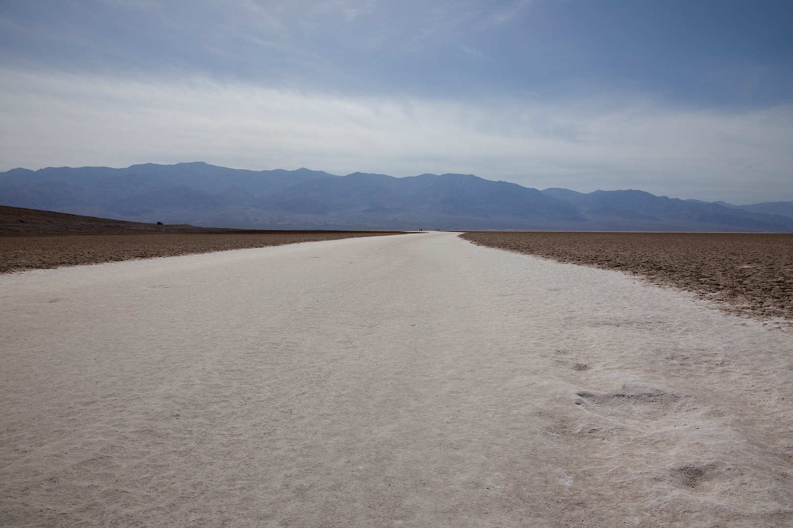
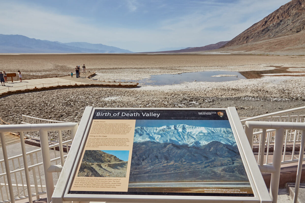
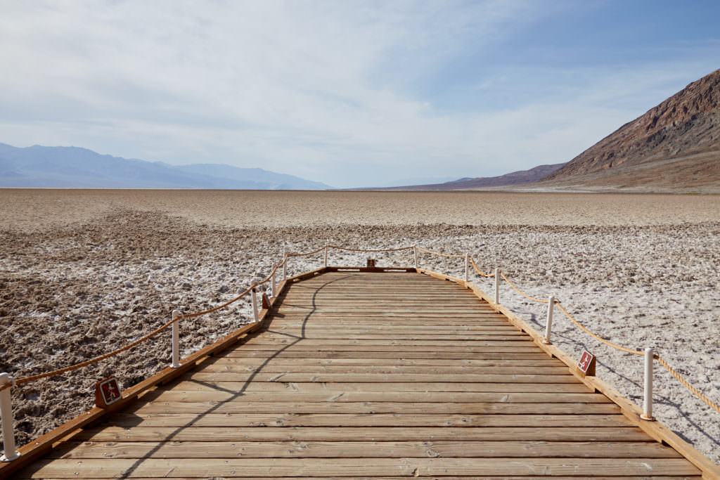
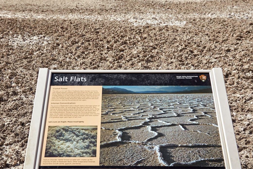
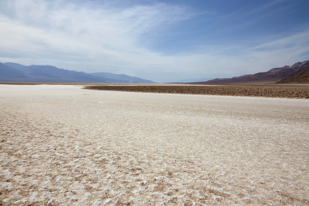
Badwater
Description: The lowest point in the valley lies 282ft below sea level. After heavy rains, honeycomb-shaped salt crystals form, which are destroyed again when they dry out by the numerous tourists who hike over the salt here. If you want to see them, you have to walk a good distance out onto the dry lake. This is often a challenge, as it doesn't really get cold in Death Valley, even in the winter. In May 2013 we had temperatures that were quite a bit beyond the 86°F mark. There you think about how far you want to hike in the blazing sun.
Our rating:A very fascinating place. Here, in August 1994, I experienced for the first time what it's like to be so hot you can't breathe. Fortunately, we had a working air conditioning in our car. I will never forget this experience. If you visit Death Valley, you won't miss this viewpoint.
☆☆☆☆☆Bewertet mit 3.5 von 5
Badwater
Badwater
Badwater
Badwater
Badwater
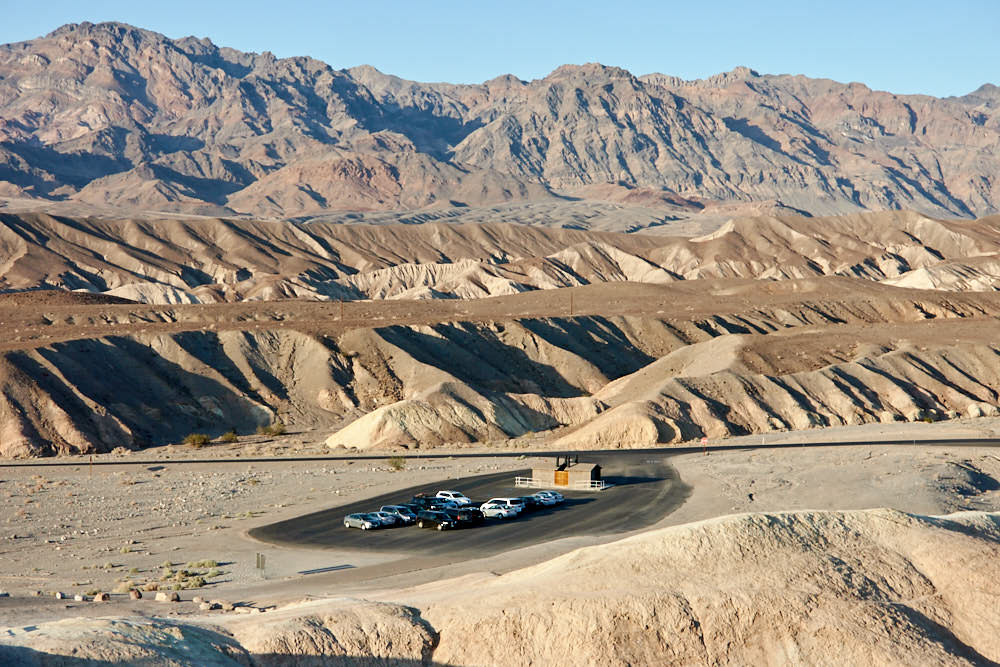
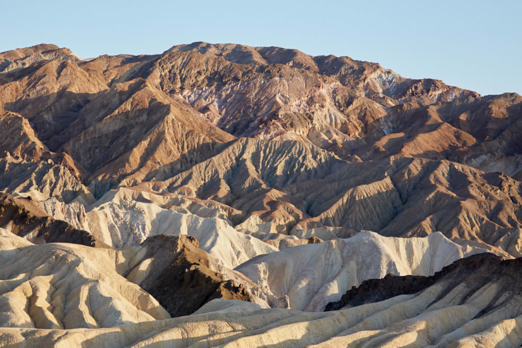
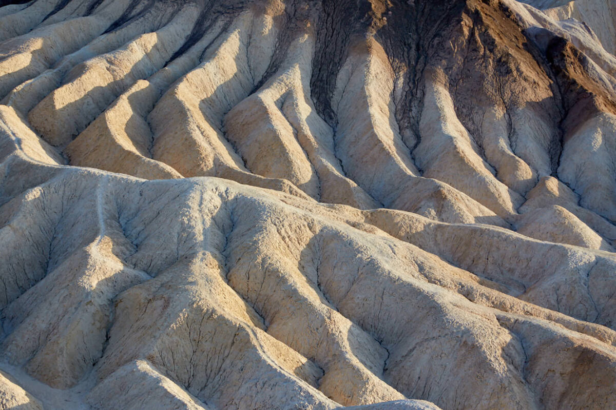
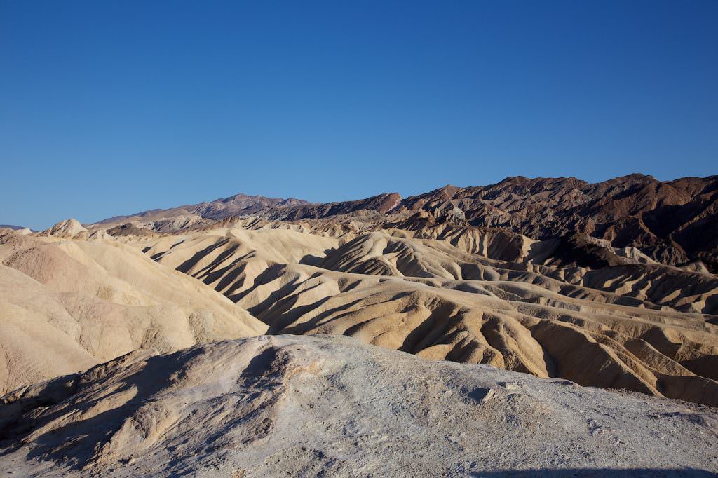
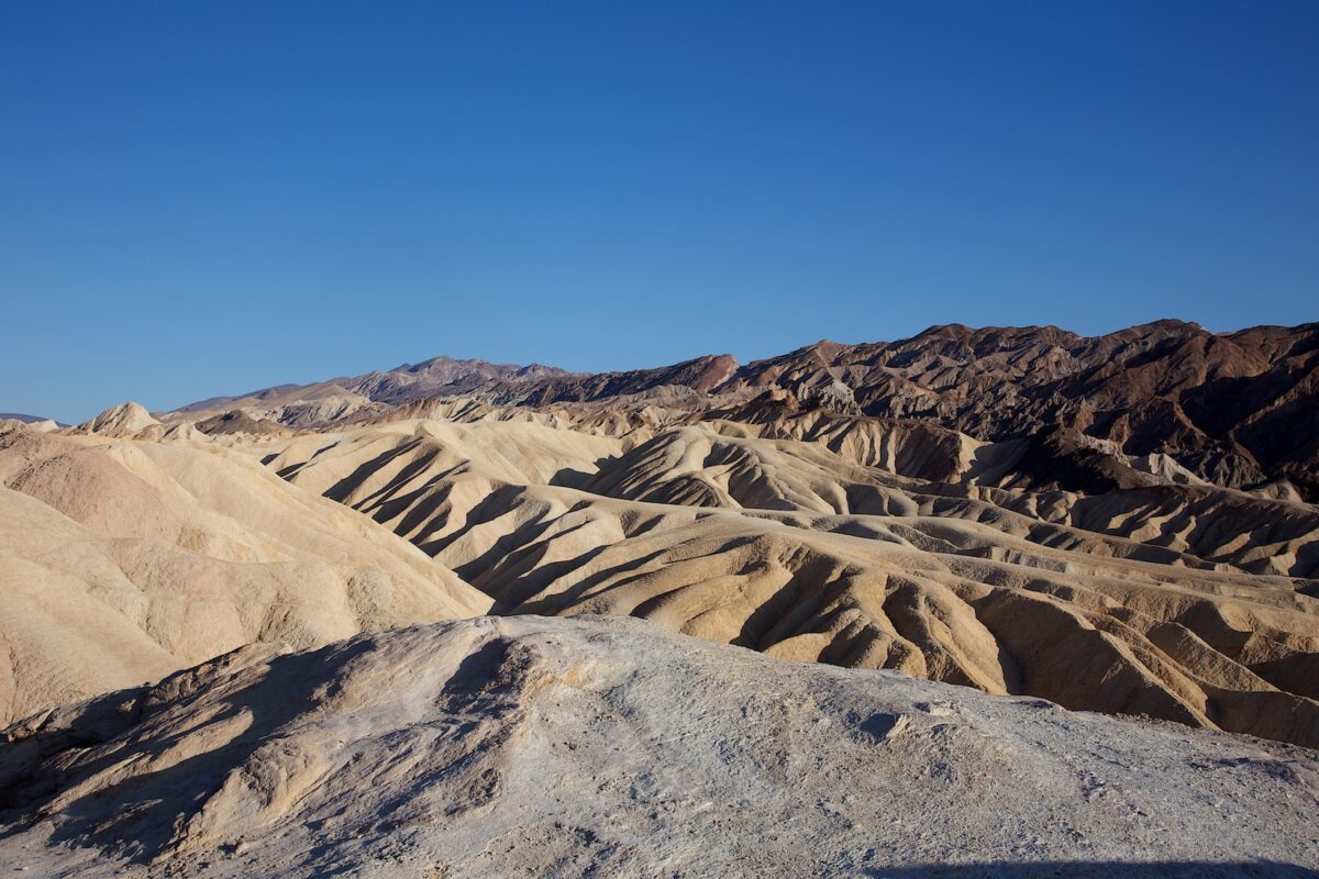
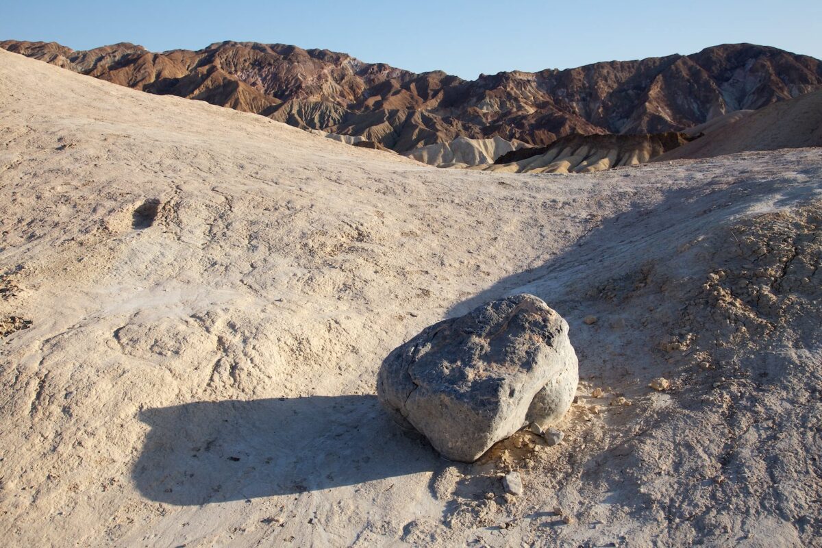
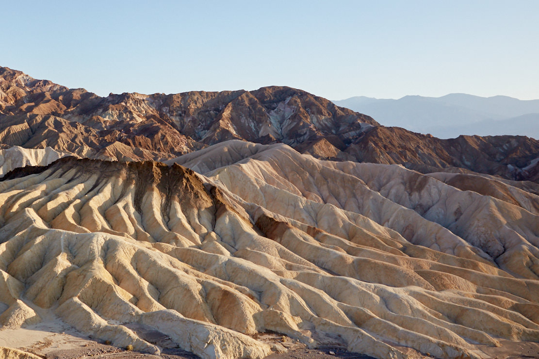
Zabriskie Point
Description: Sediments from Lake Zabriski, which has dried up for millions of years, form the bizarre rock formations here at this viewpoint.
Our rating:Especially at sunrise and sunset this is a very popular viewpoint. We were there for sunset and found it quite worth seeing. But we would not get up in the middle of the night to see the sunrise here at Zabriski Point.
☆☆☆☆☆Bewertet mit 2.5 von 5
Zabriskie Point
Zabriskie Point
Zabriskie Point
Zabriskie Point
Zabriskie Point
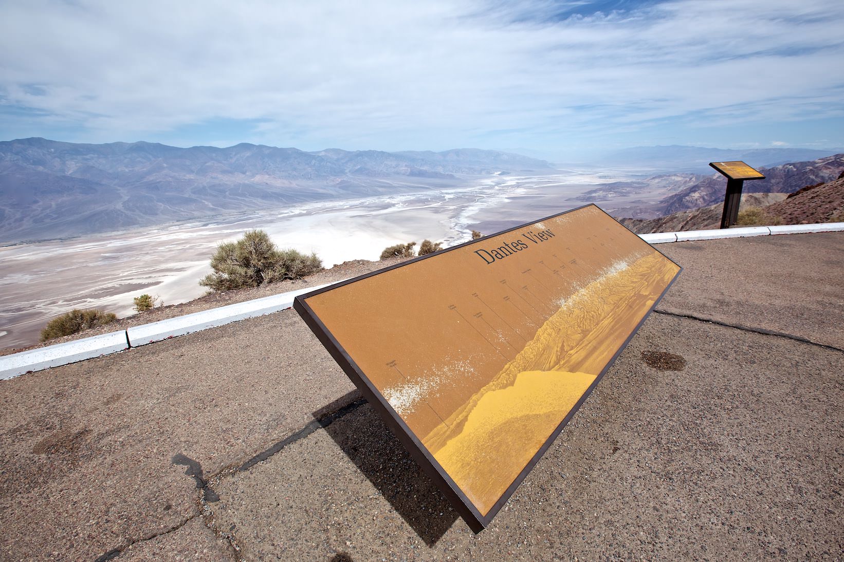
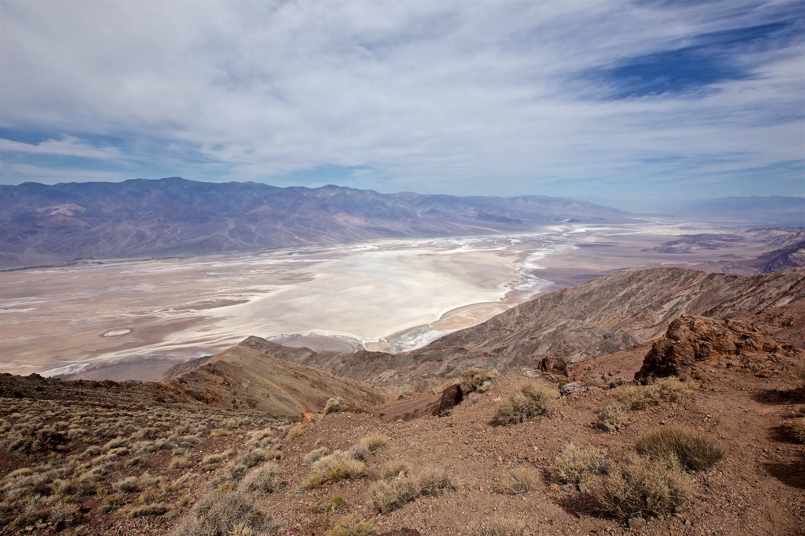
Dantes View
Description: The viewpoint at Dante's View is located at 5475ft and offers a gigantic view of the central area of Death Valley. Just below is Badwater with its huge, mostly dry, salt lake.
Our rating:This is a great viewpoint for us. A trip here is worthwhile in any case.


