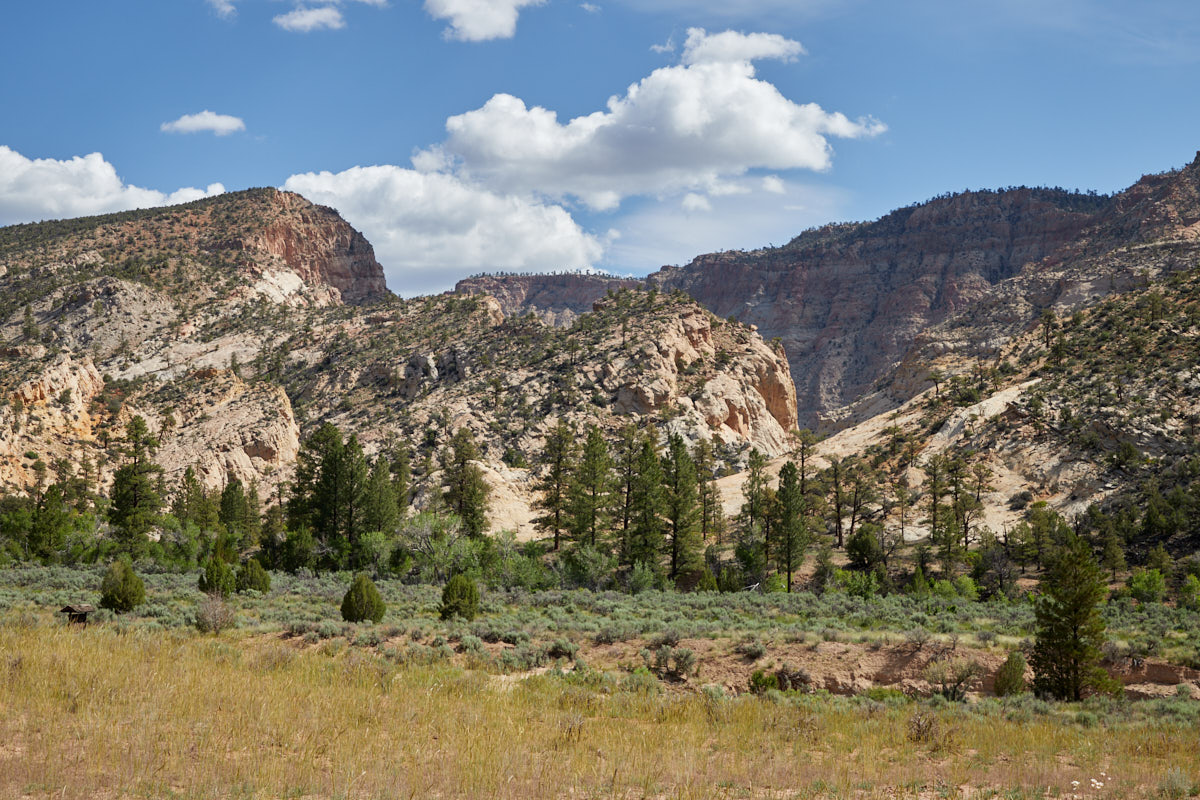
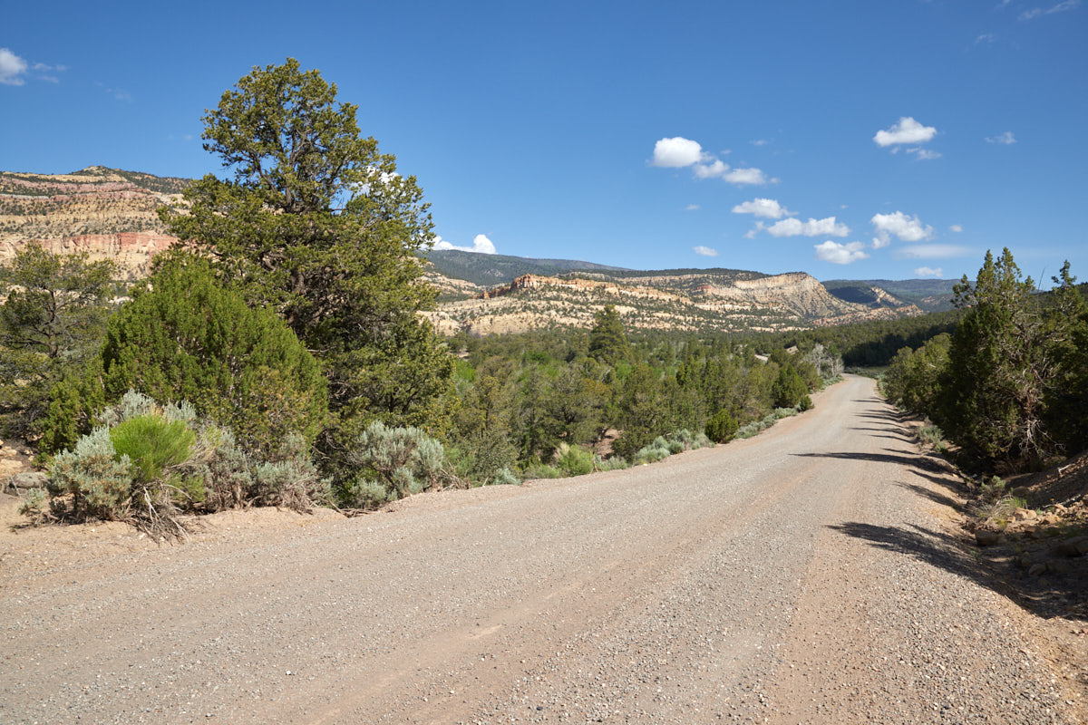
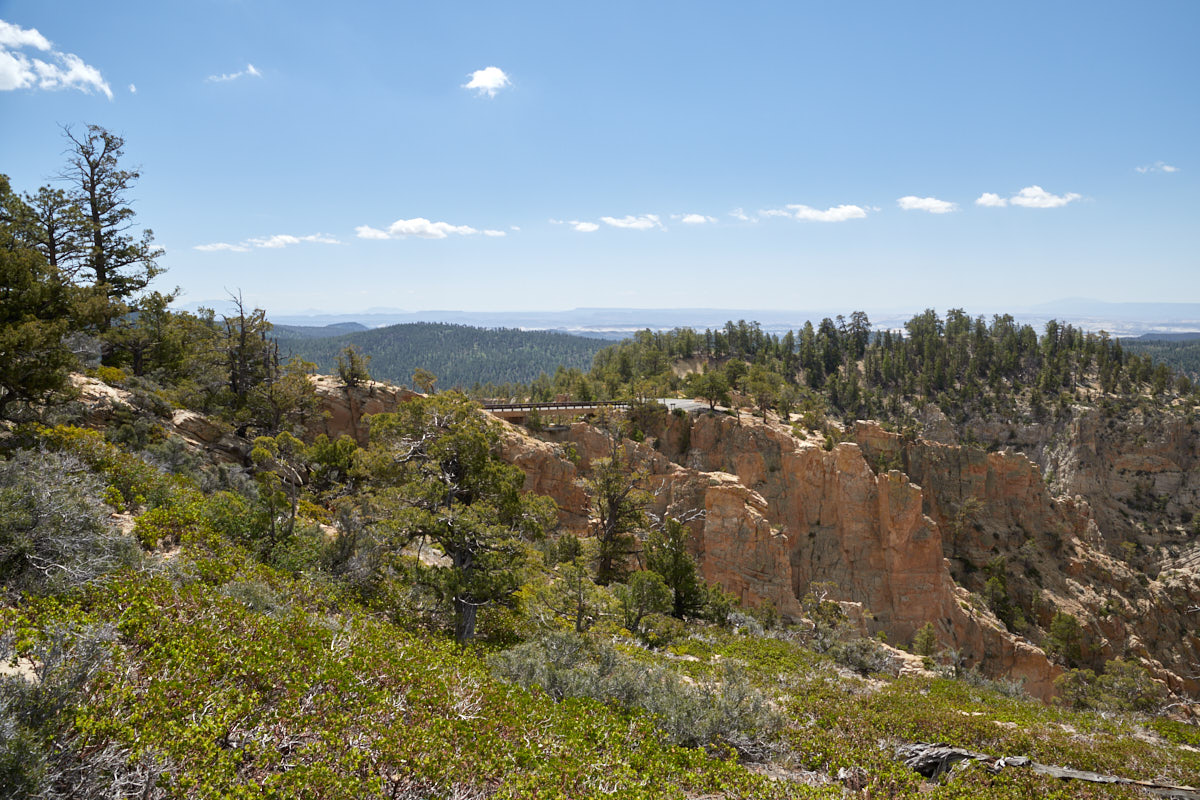
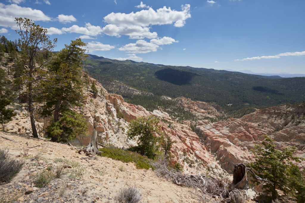
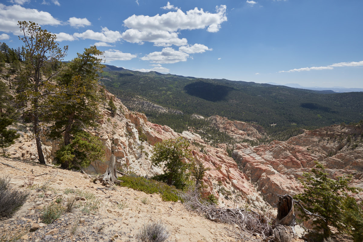
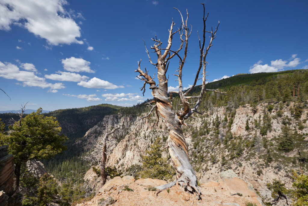
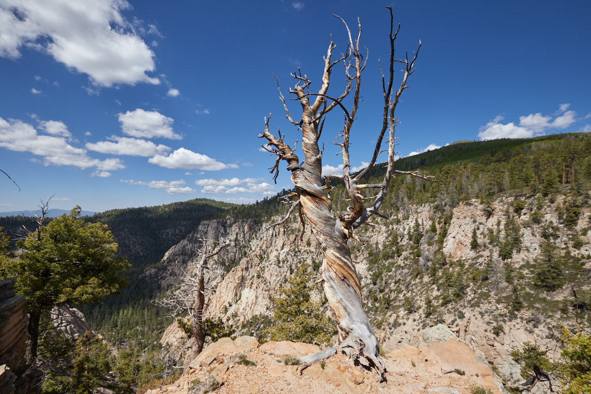
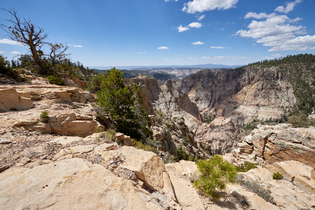
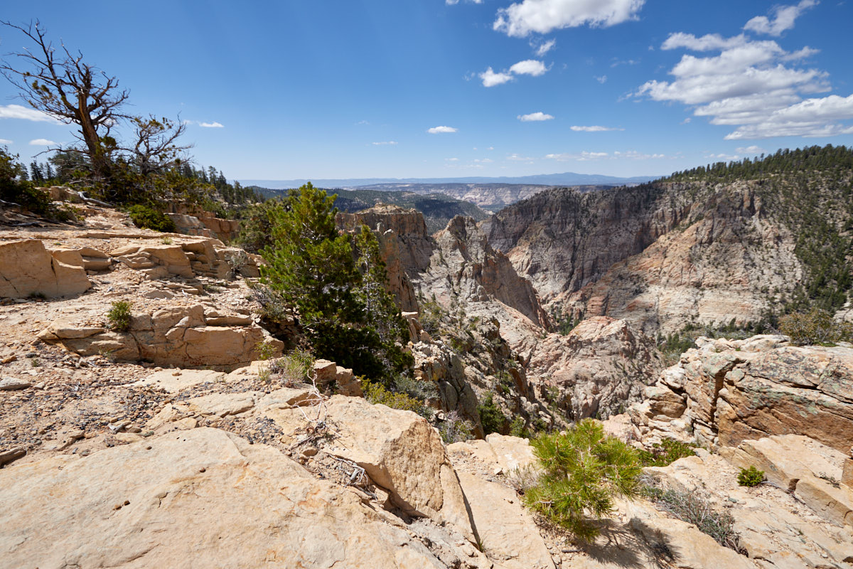
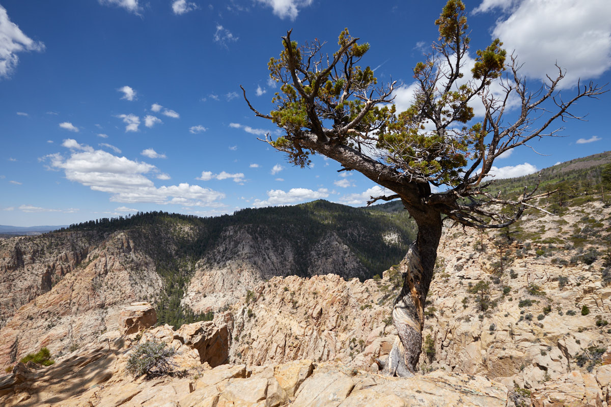
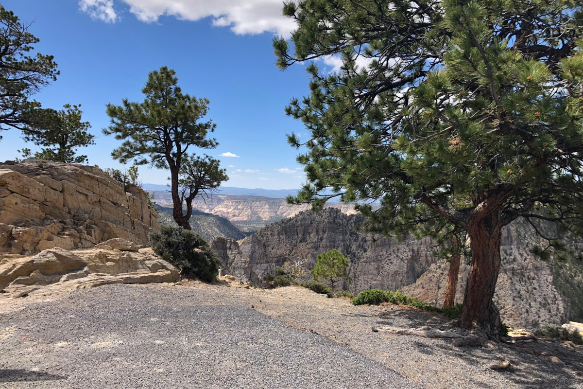
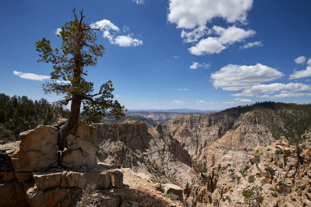
Description: Hell's Backbone is a rugged area that stretches between Boulder Mountain to the north and the canyons carved by the Escalante River and its tributaries to the south. Hells Backbone Road is a winding, unpaved road that runs through this area. The road branches off Scenic Route 12 just before Boulder. From there it heads west and climbs Boulder Mountain. About halfway up, it joins the Posey Lake/Pine Creek Road. This road passes north of the town of Escalante and allows travelers to make a 38-mile loop back to Highway 12. About halfway along the route, the road crosses the historic, old wooden Hells Backbone Bridge. In this area, it follows the contours directly above the Box/Death Hollow Wilderness Area and offers excellent views of the rugged canyons.
Our rating: During our visit in June 2023, the dirt road was in very good condition. Any car could have driven here. Even though you drive through forest for long stretches, we really enjoyed the road. There were plenty of opportunities to stop and enjoy the scenery, and not just at the historic bridge. It took us about 3 hours to complete the trip and we can well imagine driving this route again.
☆☆☆☆☆Bewertet mit 3.5 von 5
Note: On dirt roads, road conditions can change constantly. Therefore, we strongly recommend that everyone check the road conditions before each trip. The most current information is usually available on the BLM website in Escalante. GSENM-Road-Condition-Report


