Note: On dirt roads, road conditions can change constantly. Therefore, we strongly recommend that everyone check the road conditions before each trip. We do not recommend driving on unpaved roads before, during or shortly after rain or snowfall.
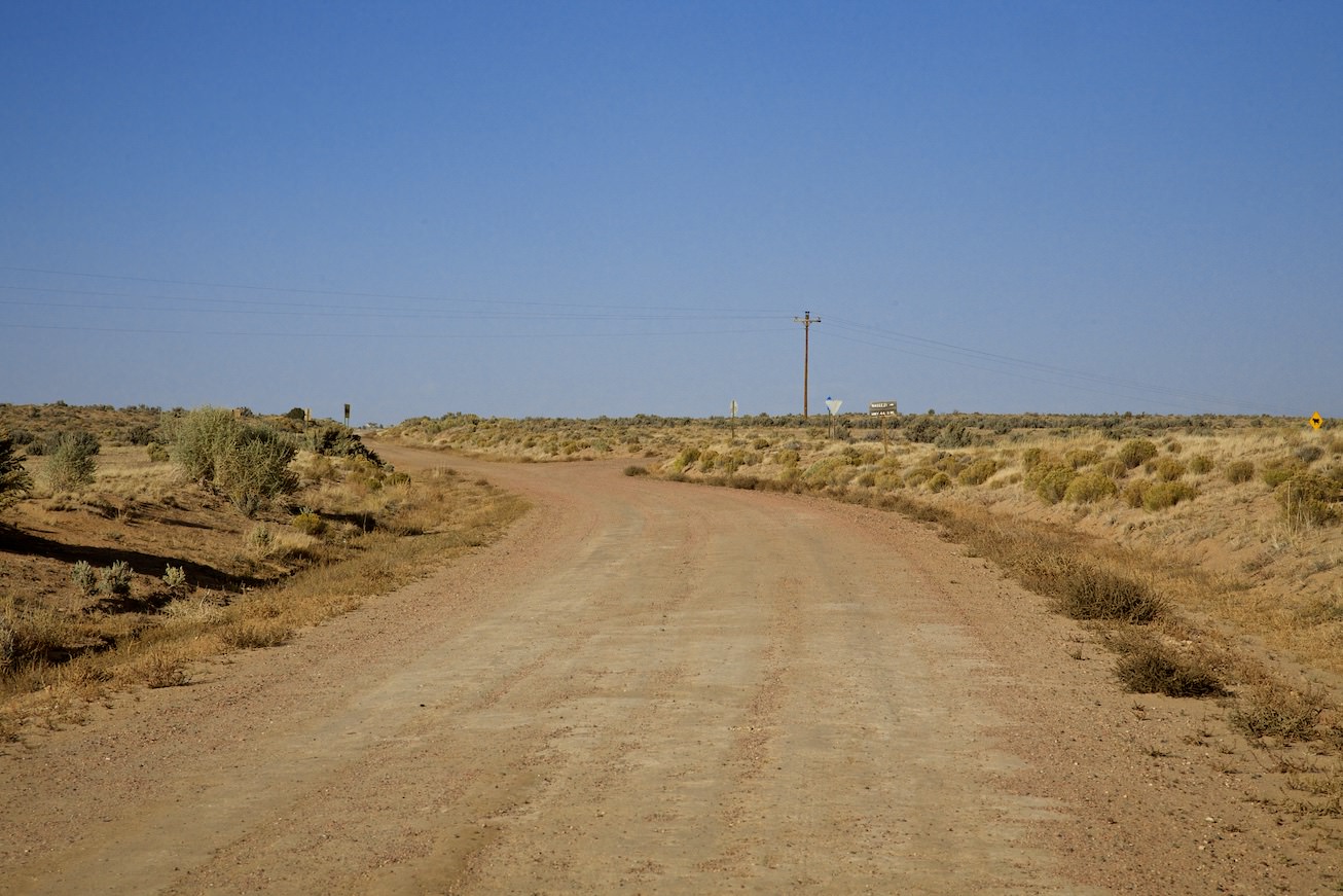
The drive in detail: From Farmington, you first head south on Highway 371. After about 46mi you leave the paved road and turn left onto Country Rd 7650. Coordinate: Latitude 36.165410, Longitude -108.151553. After another 8mi turn right onto Country Road 7870. Coordinate: Latitude 36.191497, Longitude -108.023813. The roads are in quite good condition. As always on dirt roads, it is advisable to drive only in dry conditions. During our visit in October 2012, a high ground clearance was quite pleasant. A four-wheel drive was not necessary. After another 5.6mi you reach a T-junction where you turn left. Coordinate: Latitude 36.191497, Longitude -108.023813. Another 3.5mi further on you again reach a T-junction. Here you turn left. Now you will be on the NM State Highway 57. Coordinate: Latitude 36.109939, Longitude -107.952801. After 2.8mi on this highway, turn left onto a poor field path. Coordinate: Latitude 36.147791, Longitude -107.919073. From here on, the terrain becomes very bumpy. A high ground clearance is necessary in order not to touch down on the median. But since it's only about a mile to the trailhead, you can walk from here if necessary. After a good 20mi of dirt road you arrived at the trailhead. Coordinate: Latitude 36.147791, Longitude -107.919073.
The hike
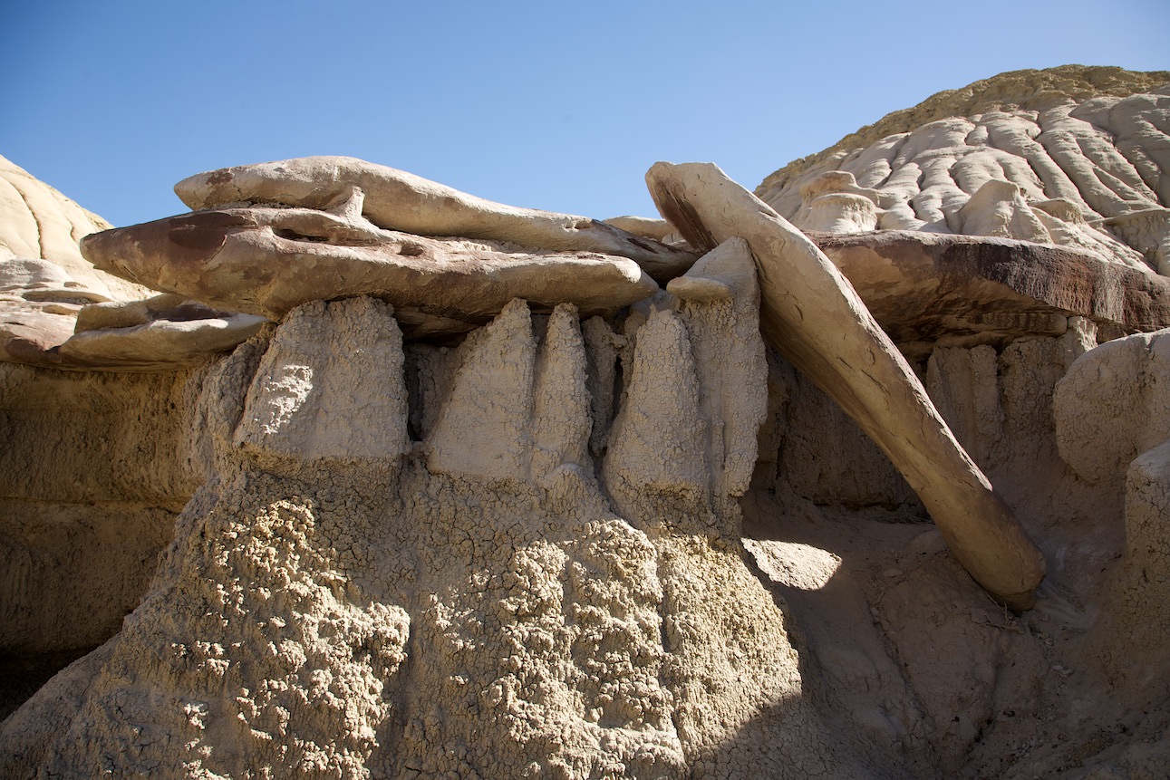
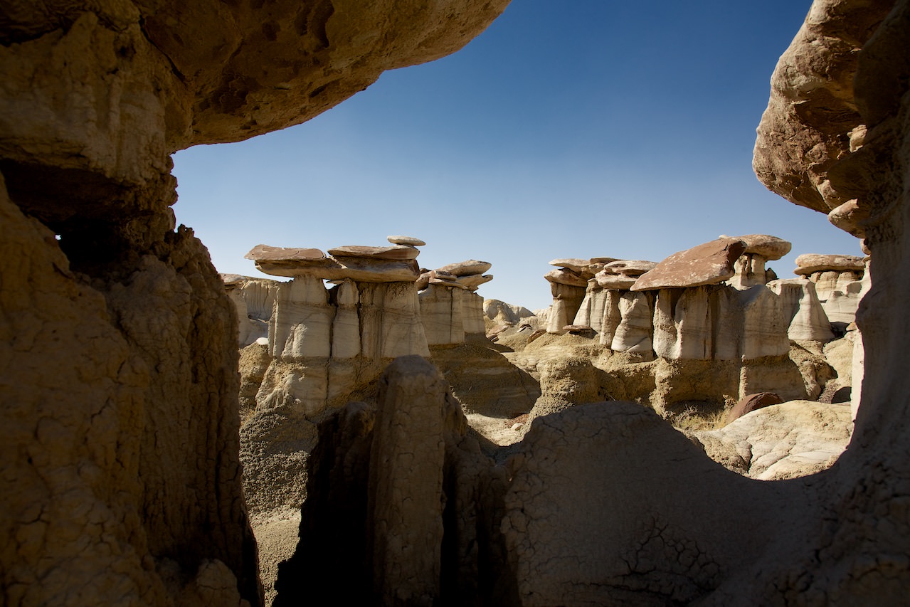
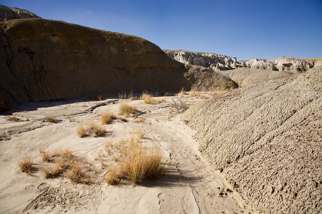
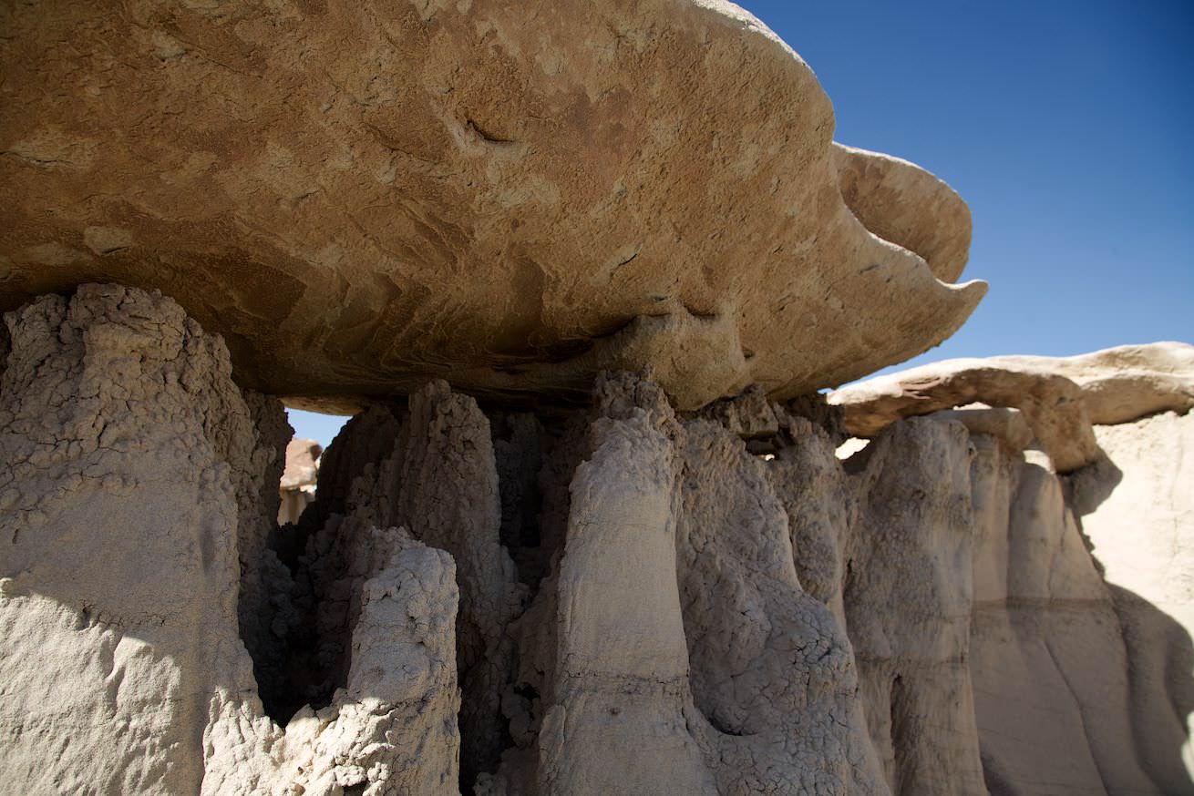
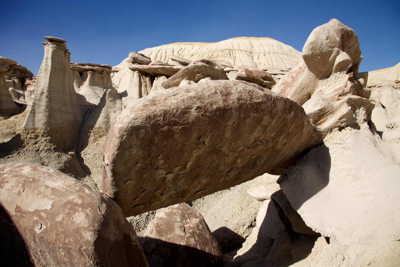
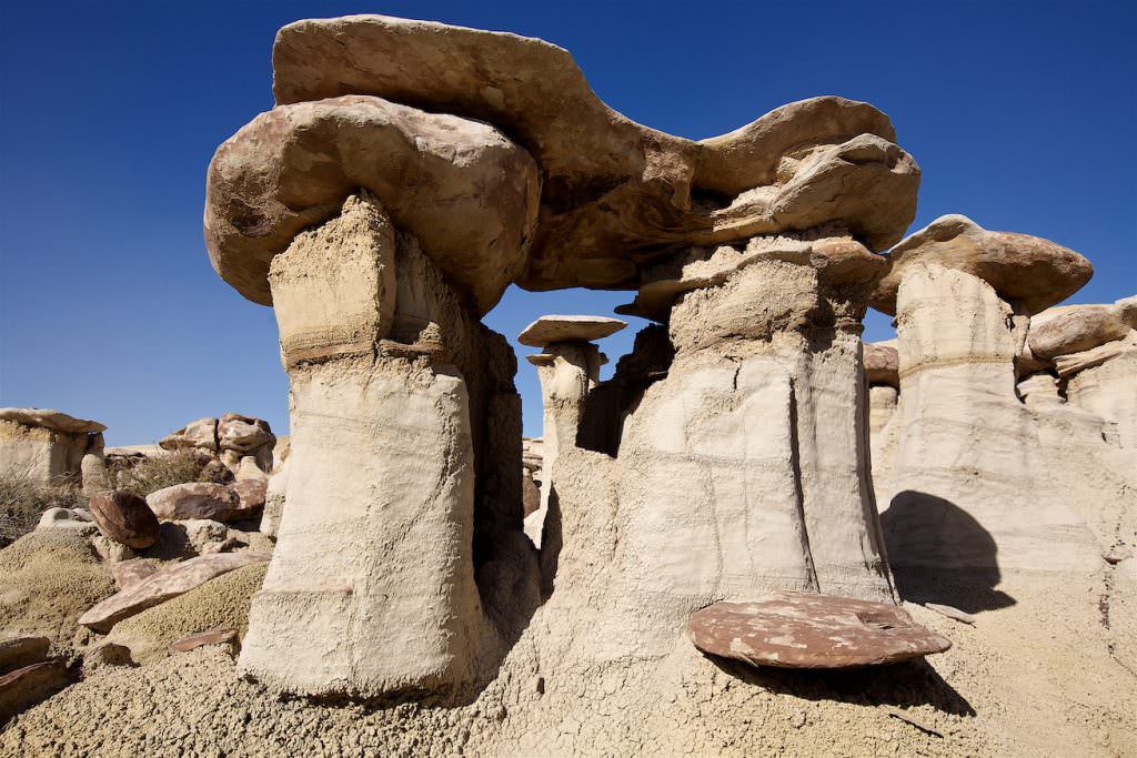
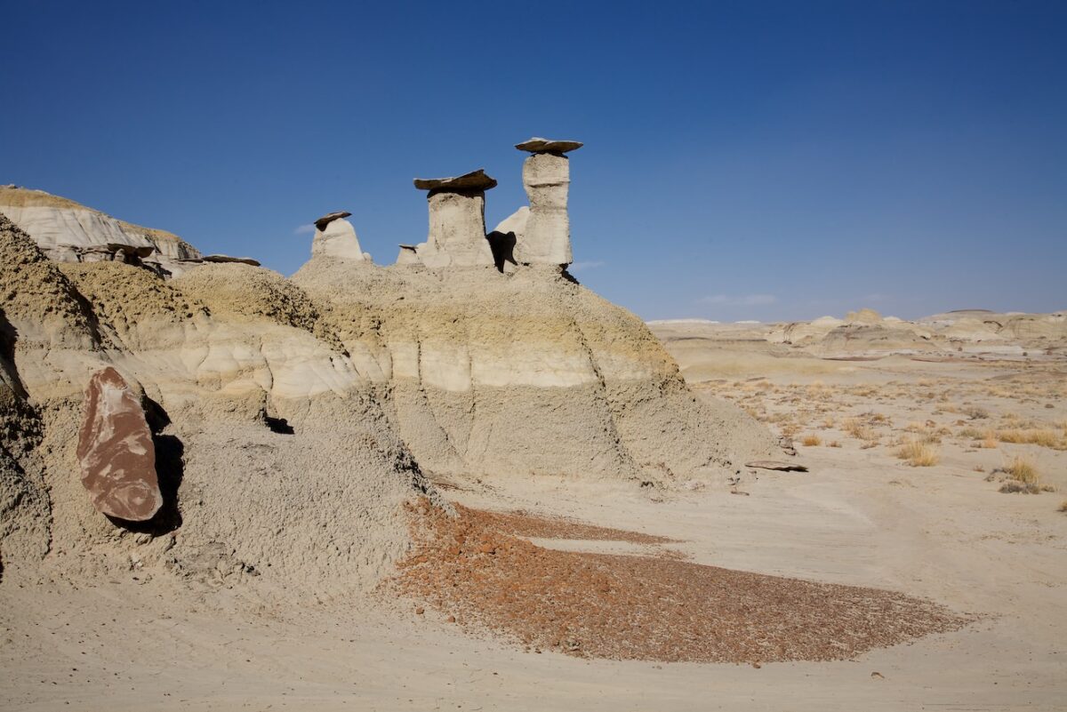
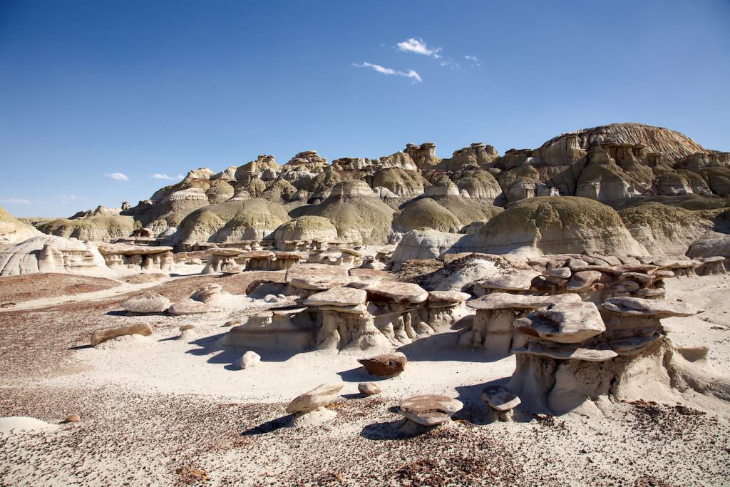
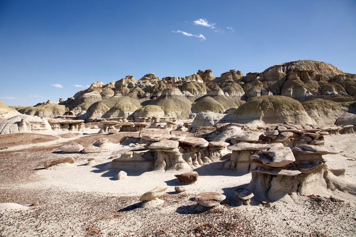
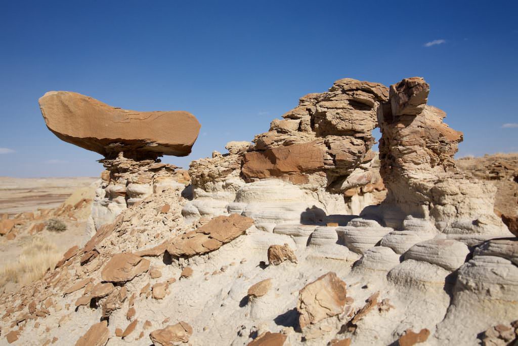
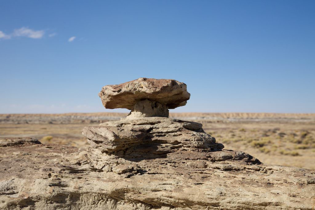
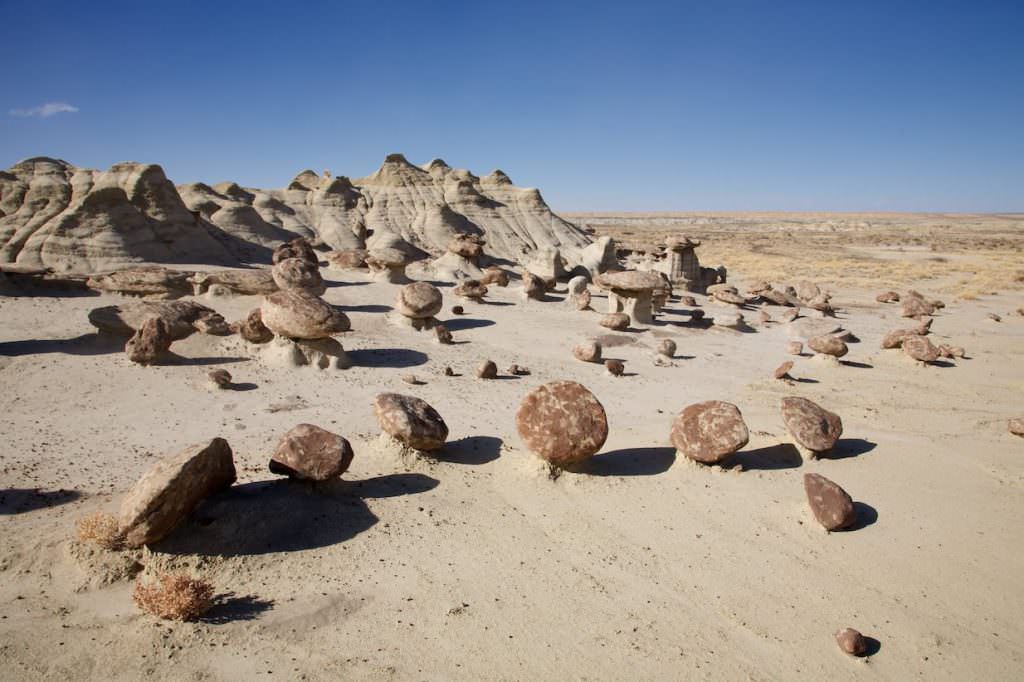
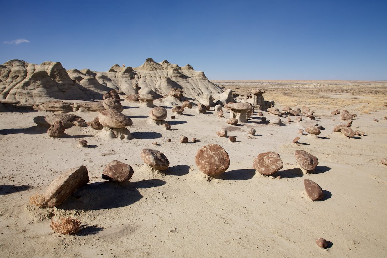
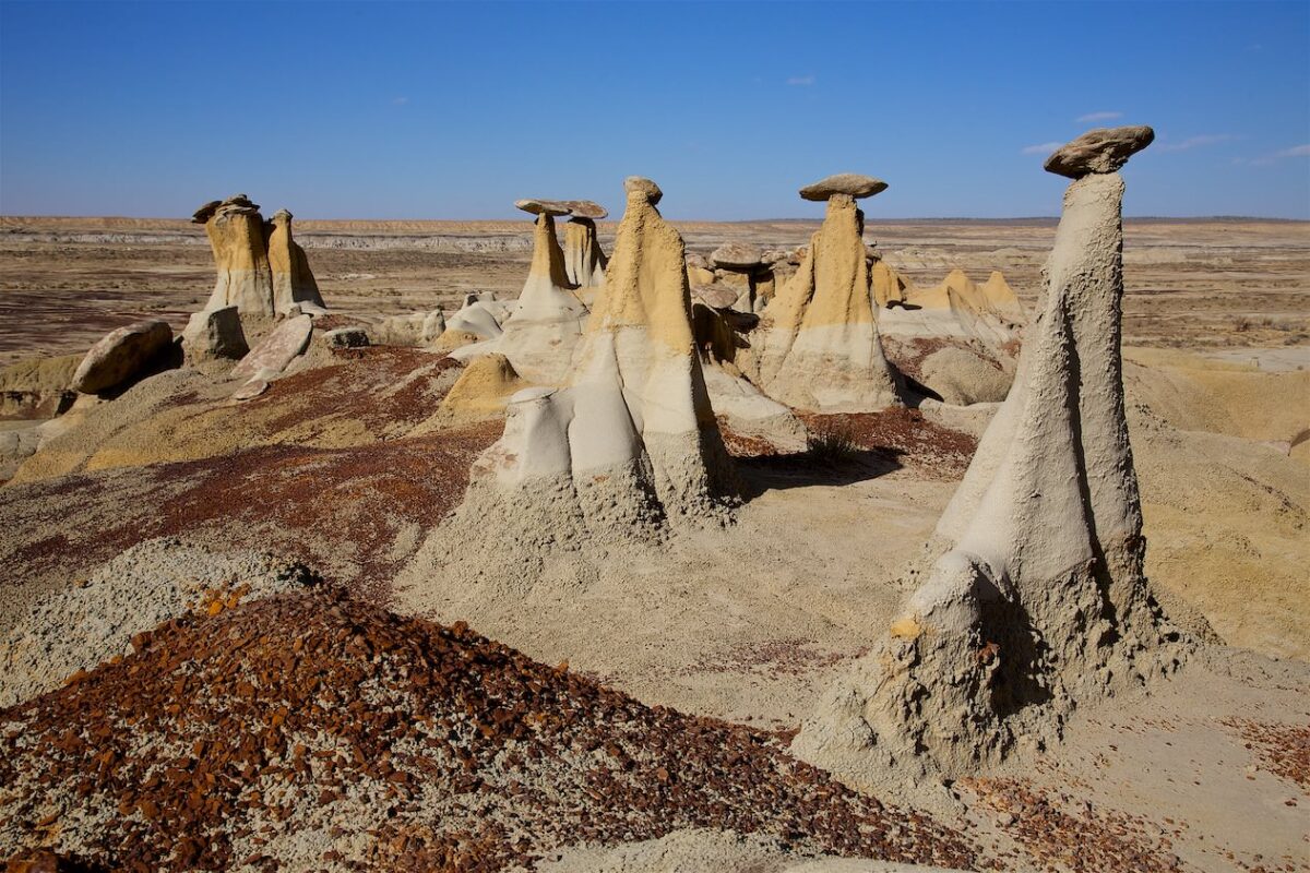
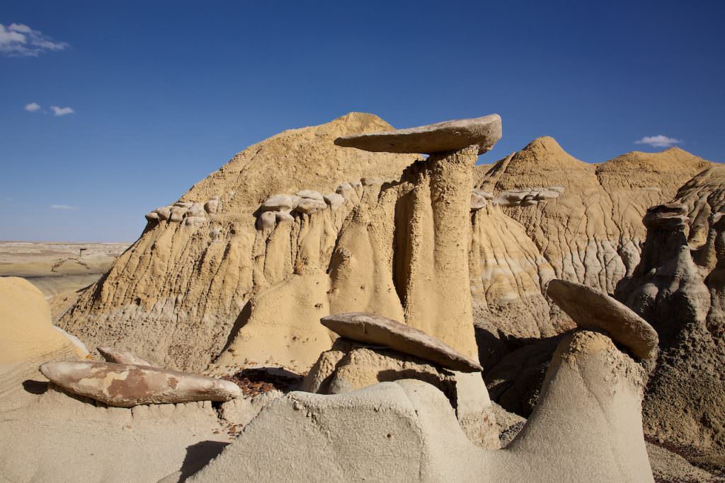
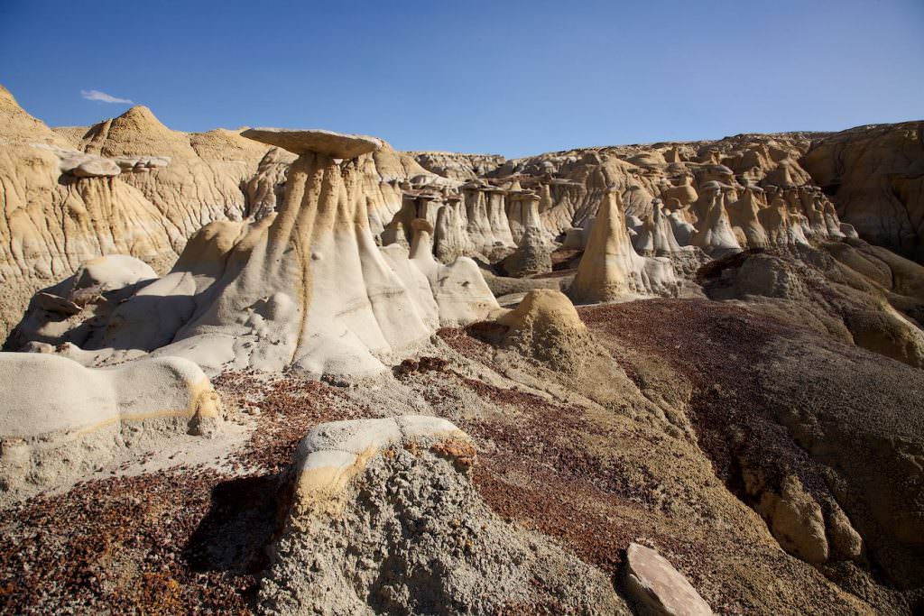
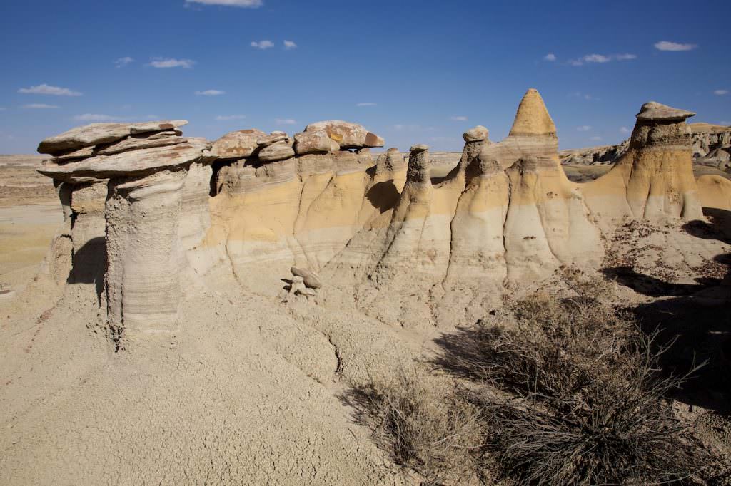
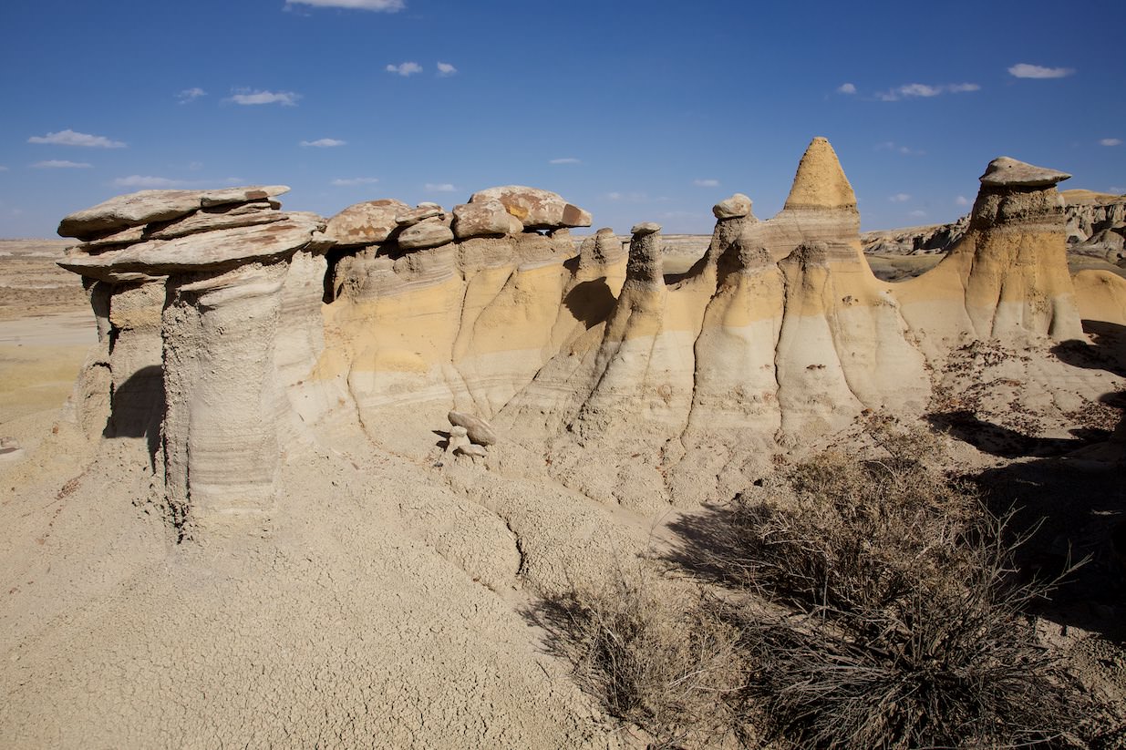
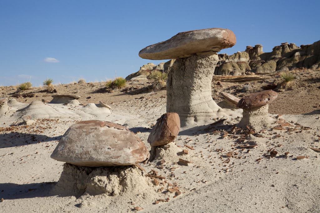
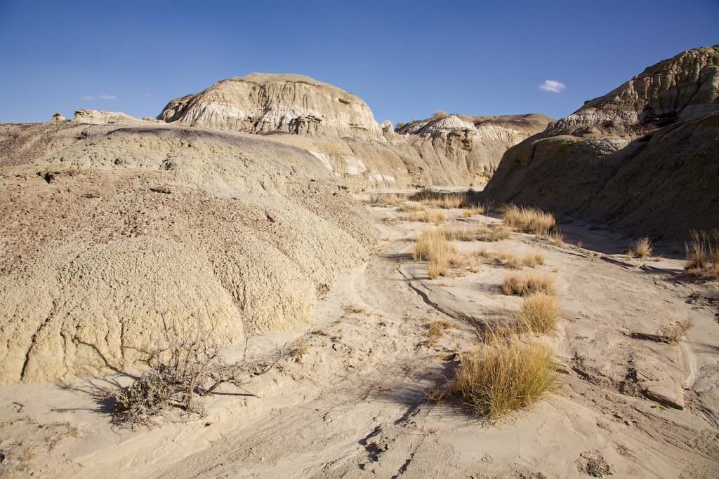
Description: From the parking lot, hike a few feet north to the rim and then find a way down. In the Badlands there are basically no fixed trails. The Badlands are a huge area with more or less small hoodoos in a barren desert landscape. You can move completely free and just go where you like.
Trail length: 2.7mi Altitude difference: approx. 328ft Time needed: 3-4 hours Difficulty level:easy - The trails are mostly flat and so it is also very easy to move around in the area.
Our rating: We like these lonely badlands. That's why we thought this was great. We were all alone and could simply go on a journey of discovery as we pleased. From us there is an absolute recommendation for this badlands.
☆☆☆☆☆Rated 4 out of 5
This is roughly what the entire path in the Badlands looks like


