Note: On dirt roads, road conditions can change constantly. Therefore, we strongly recommend that everyone check the road conditions before each trip. The most current information is usually available on the BLM website in Escalante. GSENM-Road-Condition-Report
2011: 4.1mi and 656 feet of altitude 2014: 4.2mi and 951 feet of altitude
Our visits: So far 2 visits in October 2011 and October 2014
First things first!!!
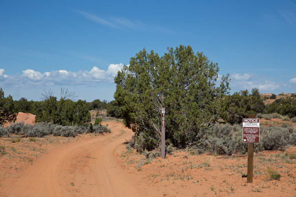
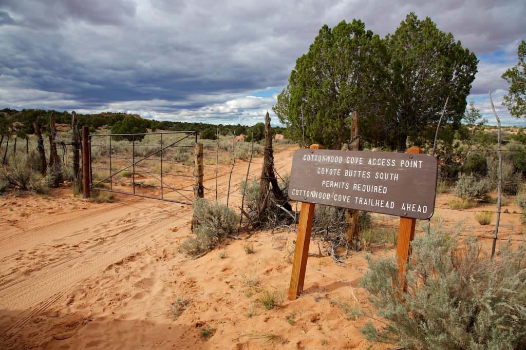
A permit is required to visit the Coyote Buttes South (CBS) area. This must be purchased before the visit. There is also an online lottery that takes place four months in advance. In addition, there is also a daily lottery. Permits that have not been claimed can also be purchased at any time using the calendar. Everything you need to know about this can be found on the official webpage.
Because of the more difficult accessibility, the rush for permits here is not quite as big as at the CBN. If you are a little flexible in the date, it should not be such a big problem to get a permit at the moment.
Directions to CBS
Directions to the trailhead
So far we have visited the CBS twice. Both times we did the tour, mainly because of the drive, with a commercial provider (Paria Outpost).
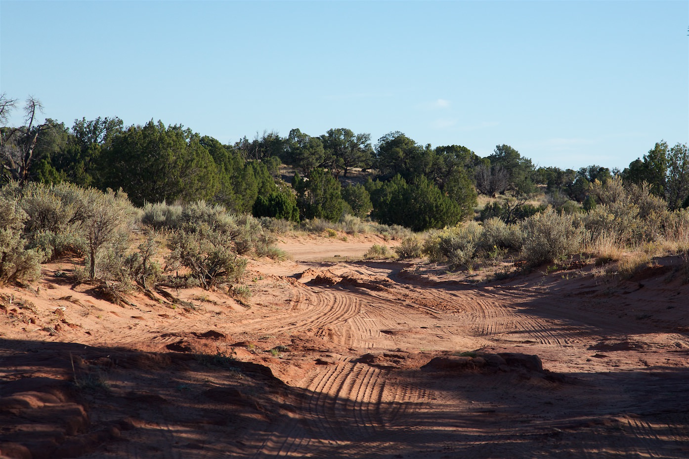
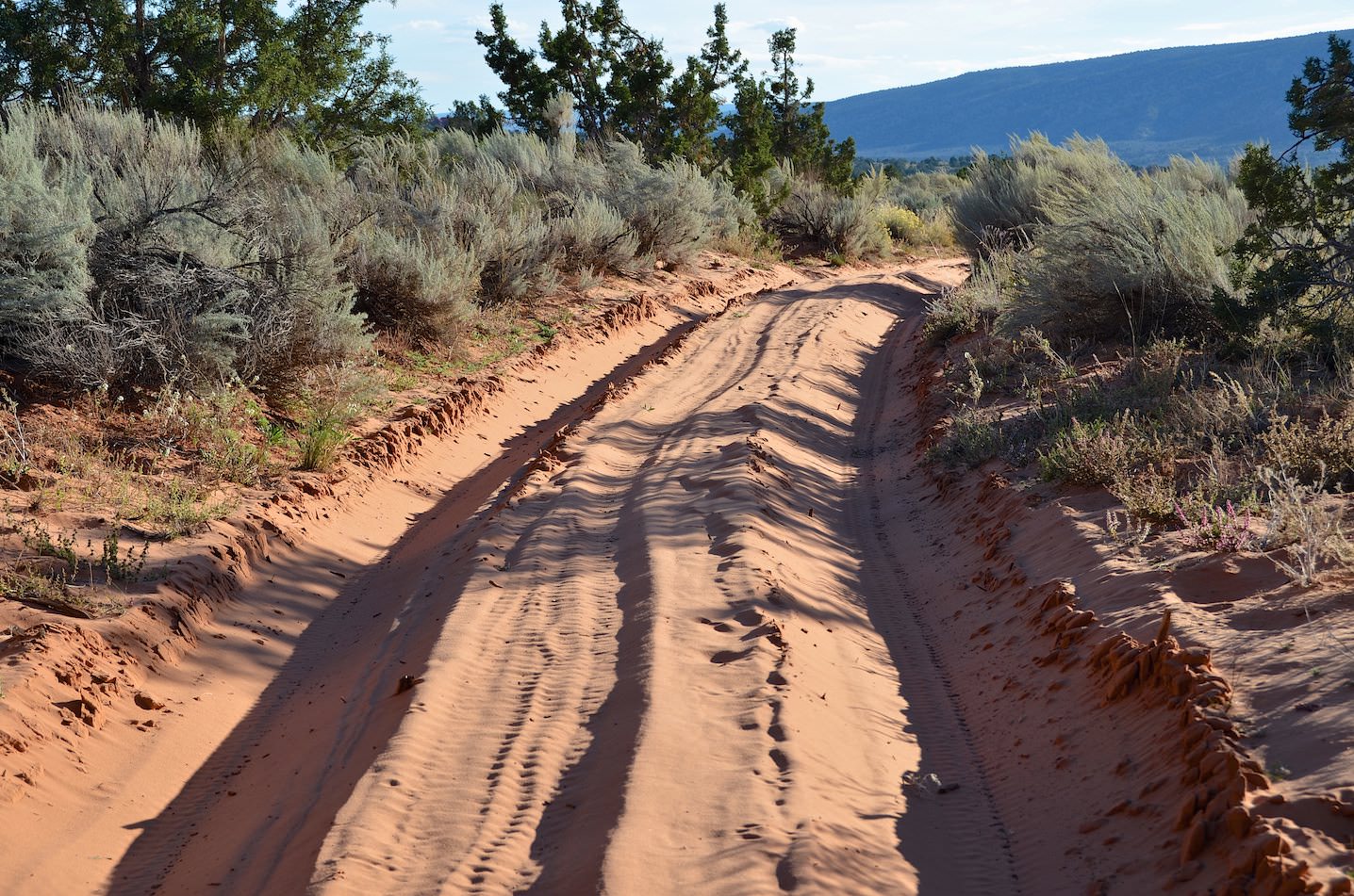
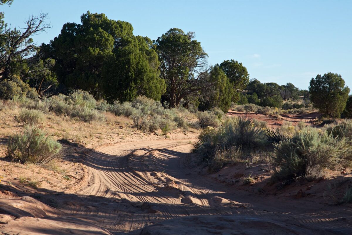
The approach is not very easy, because the roads are at best dirt roads, which are on the one hand stony and on the other hand very sandy. The journey should therefore only be made with an appropriate 4x4 vehicle.
Basically, there are several ways to reach the trailhead at Cottonwood Cove. Probably the most commonly used are the one via Paw Hole and the one via Pine Tree Road. The former is shorter, but usually much more sandy. Easier is probably the drive via Pine Tree Road and Poverty Flat Ranch. Despite all this, the road conditions vary constantly and reliable statements are very difficult to make. Ultimately, everyone must decide for himself what he can trust himself and his vehicle.
Directions to CBS
Directions to CBS
Directions to CBS
Beginn des Permit Gebietes
Paw Hole Teepees
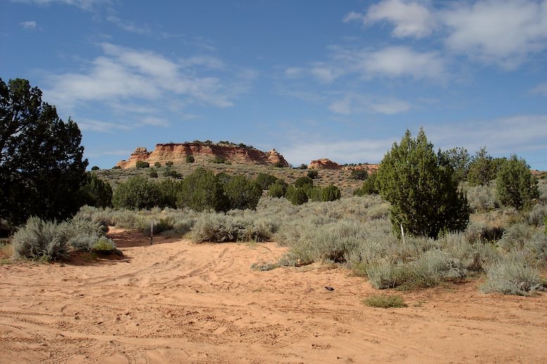
Parking lot
Trailhead Cottonwood Cove
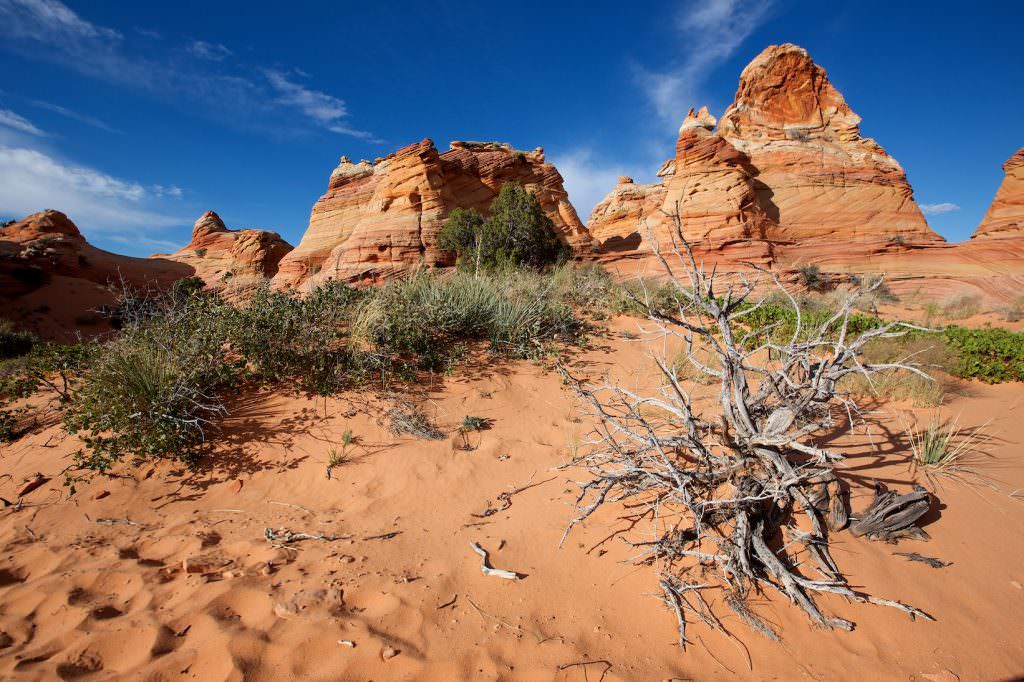
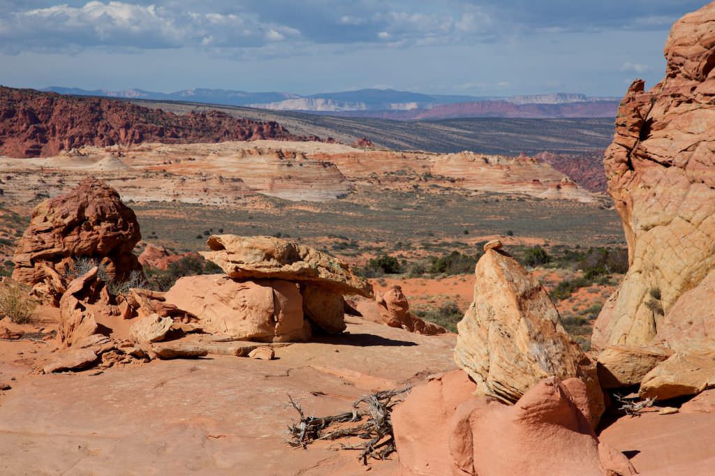
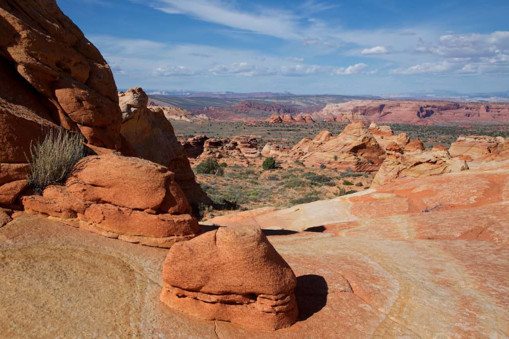
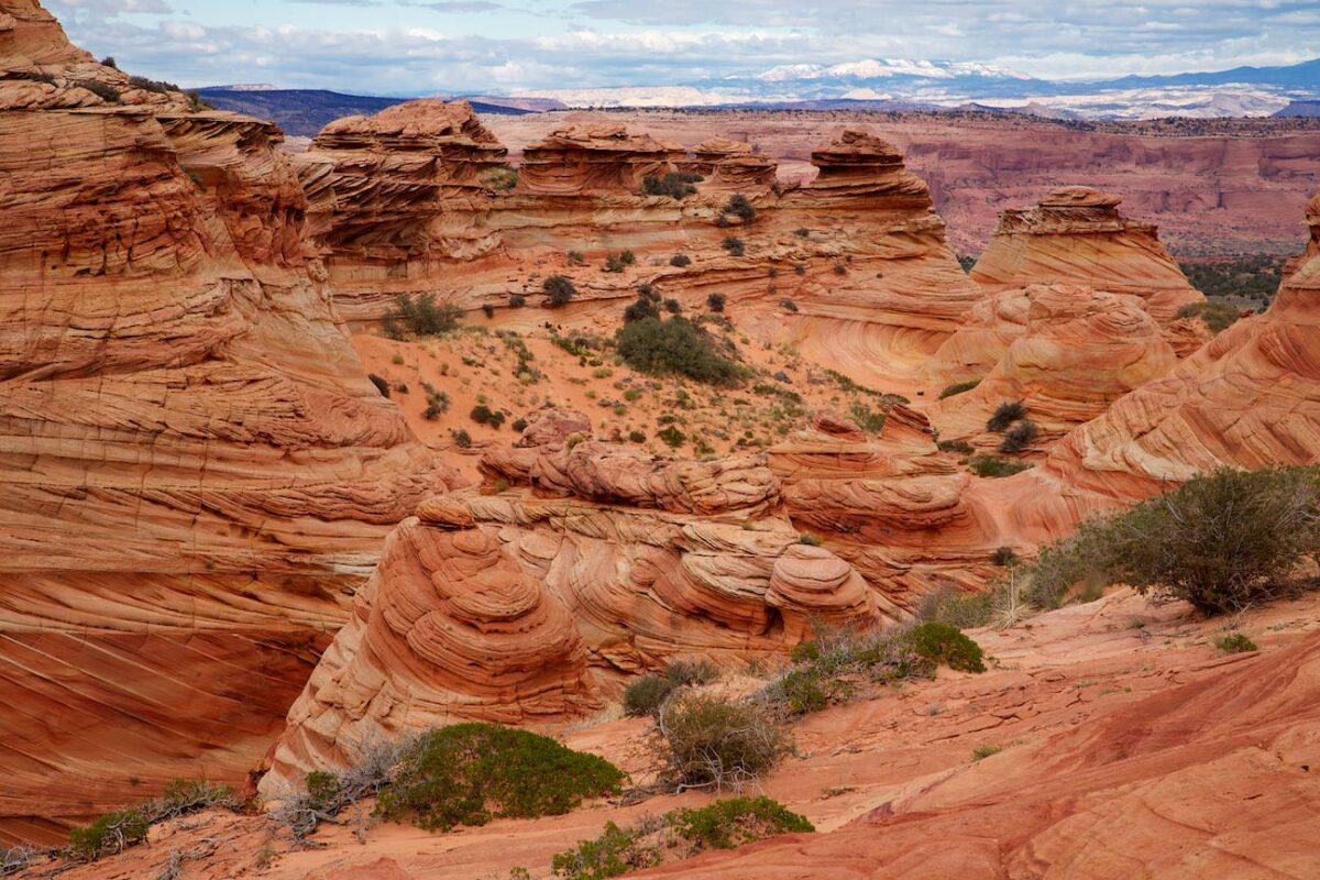
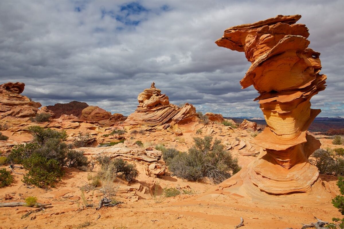
A first look at the CBS
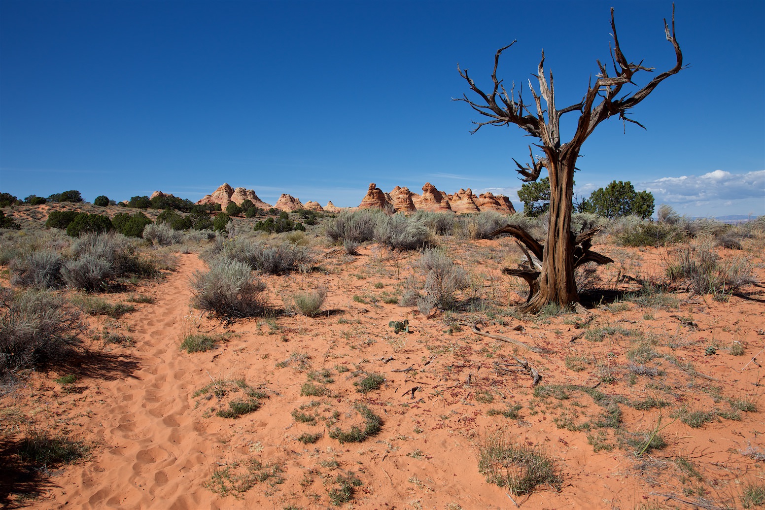
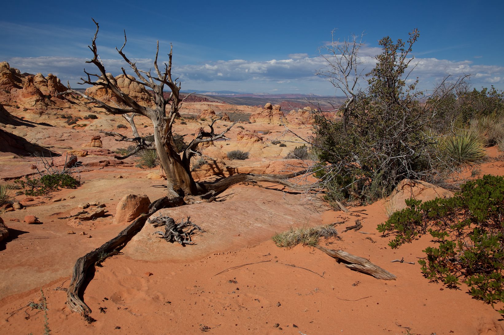
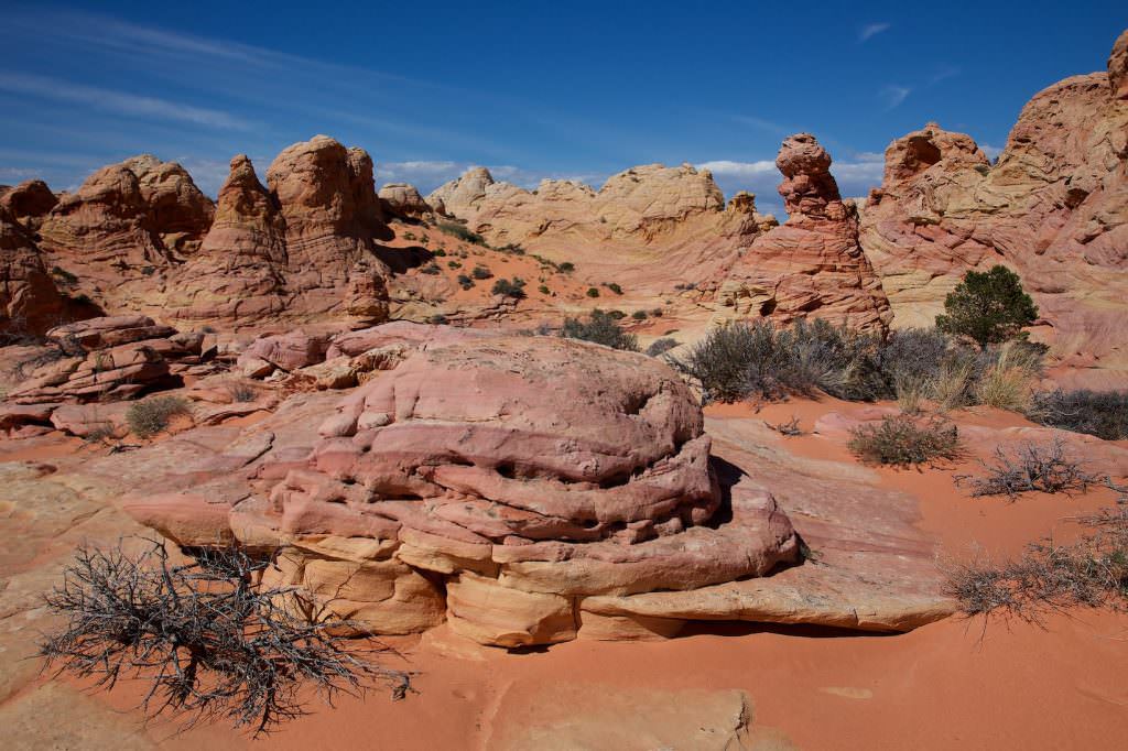
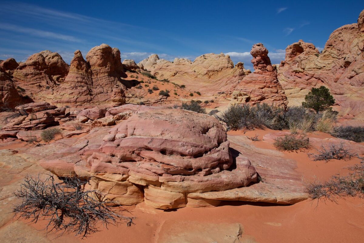
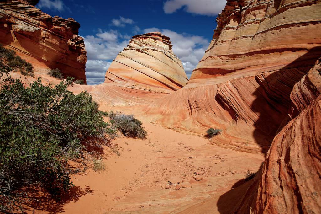
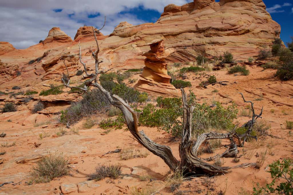
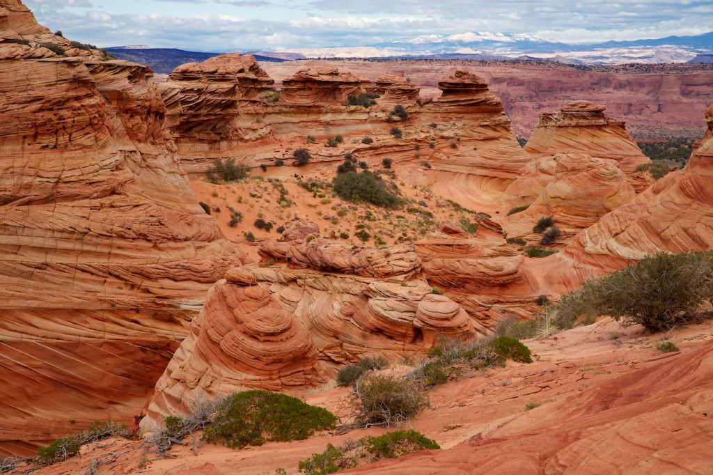
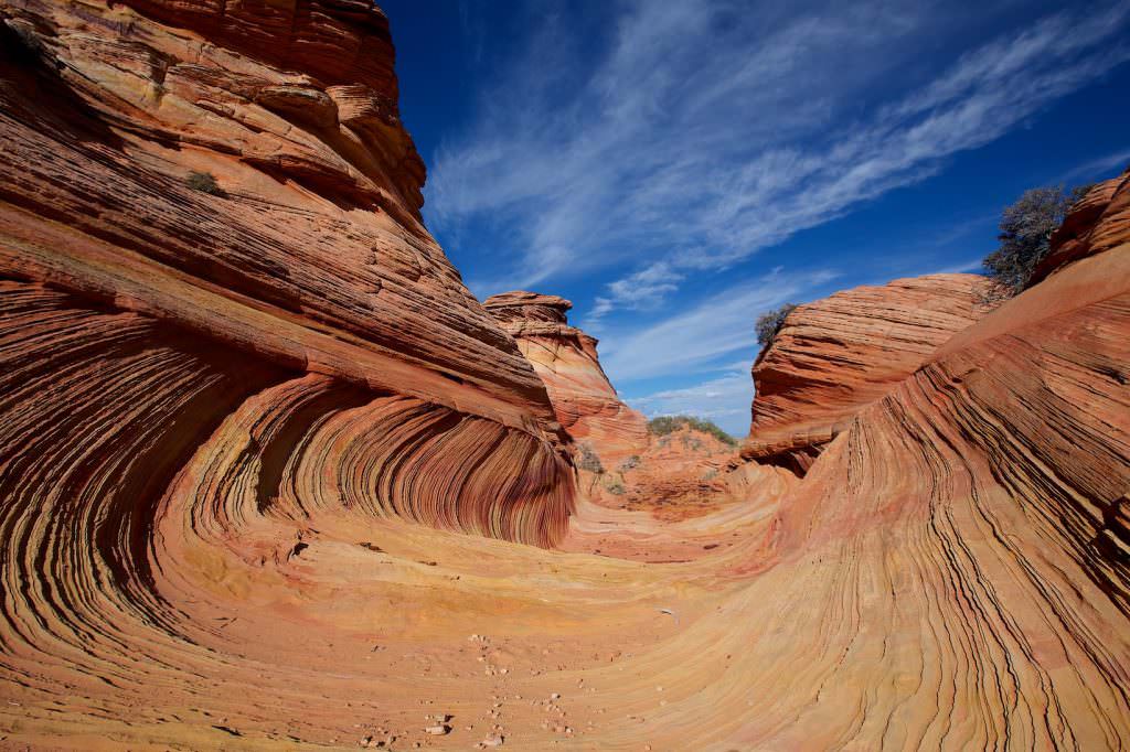
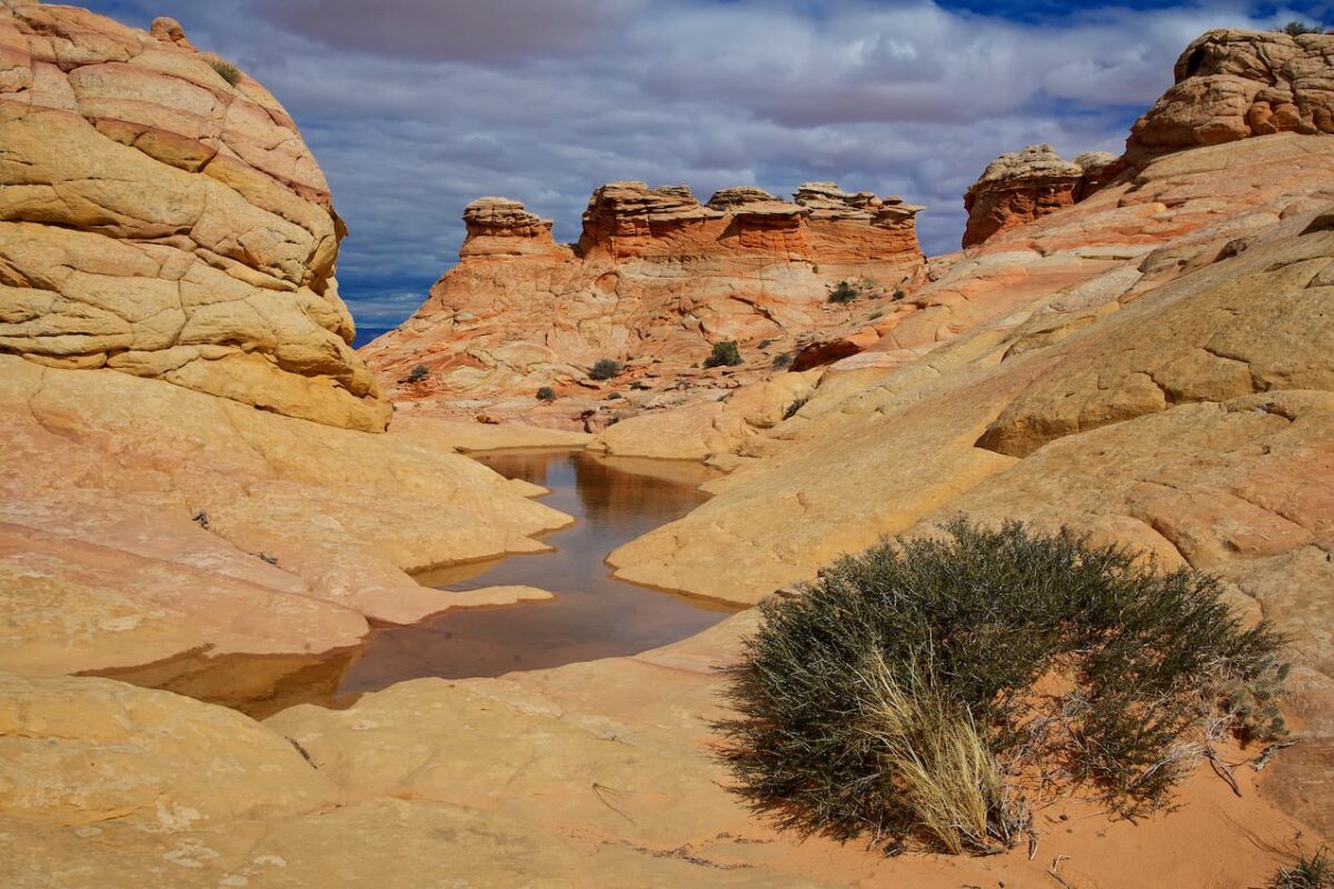
The hike in the CBS
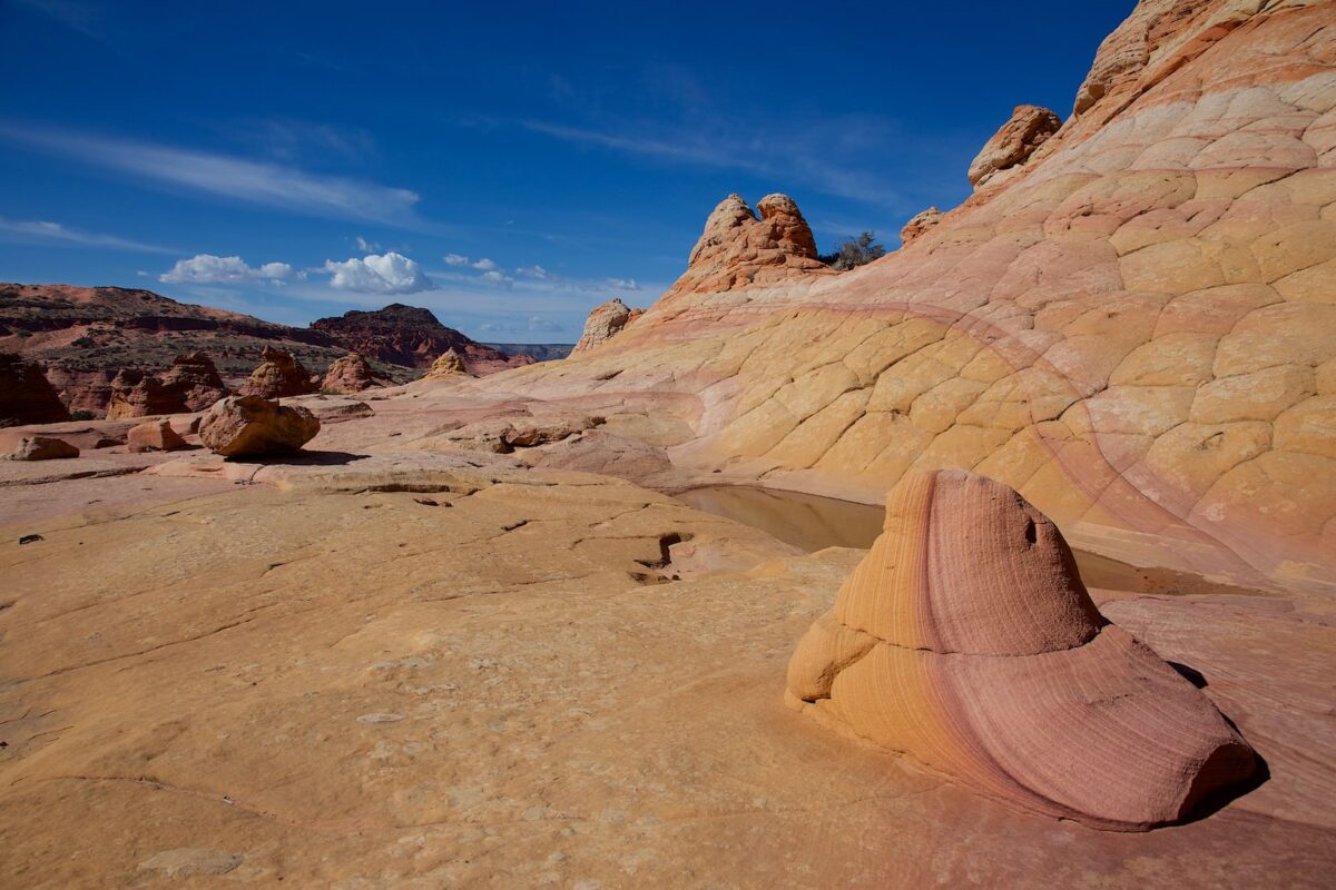
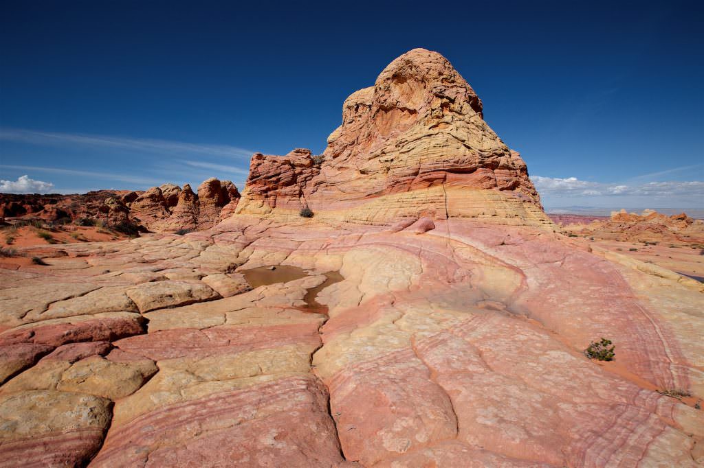
The CBS area that can be accessed from Cottonwood Cove is very large. There are no trails, anyone with a valid permit can basically explore the area completely on their own. The tracks of our two hikes are linked above.
Our rating: The CBS are an absolute highlight on a journey through the Southwest. The sandstone has incredible colors and shapes. You should definitely have seen this one. A great place where you can easily spend a whole day and return several times without getting bored.


