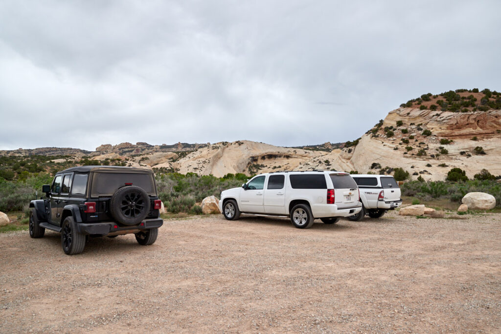
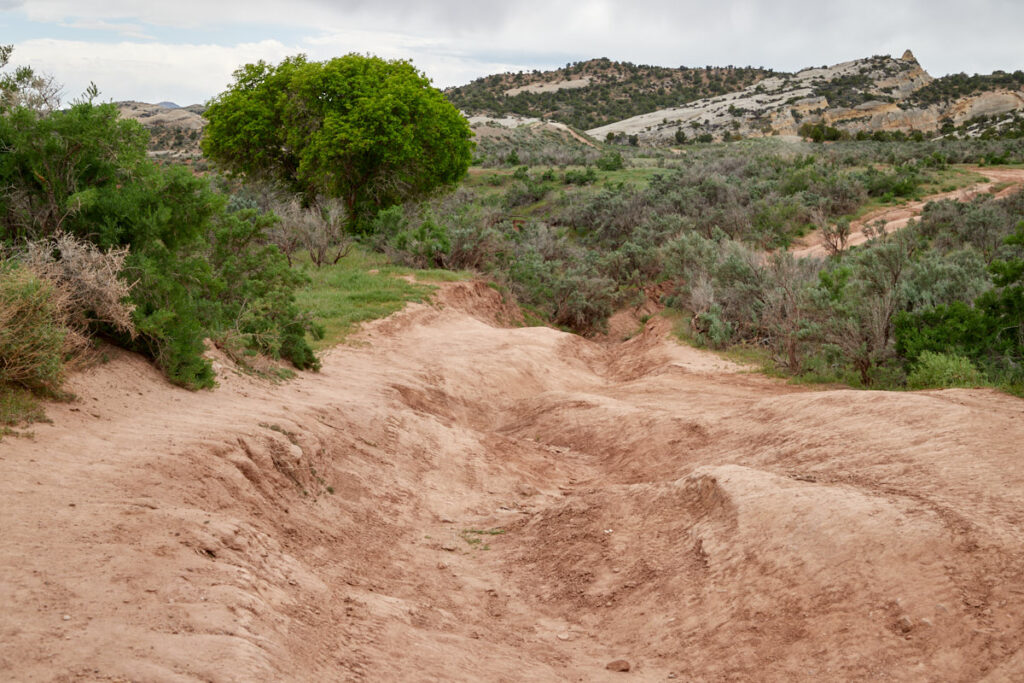
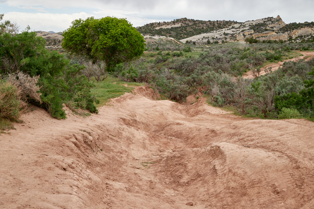
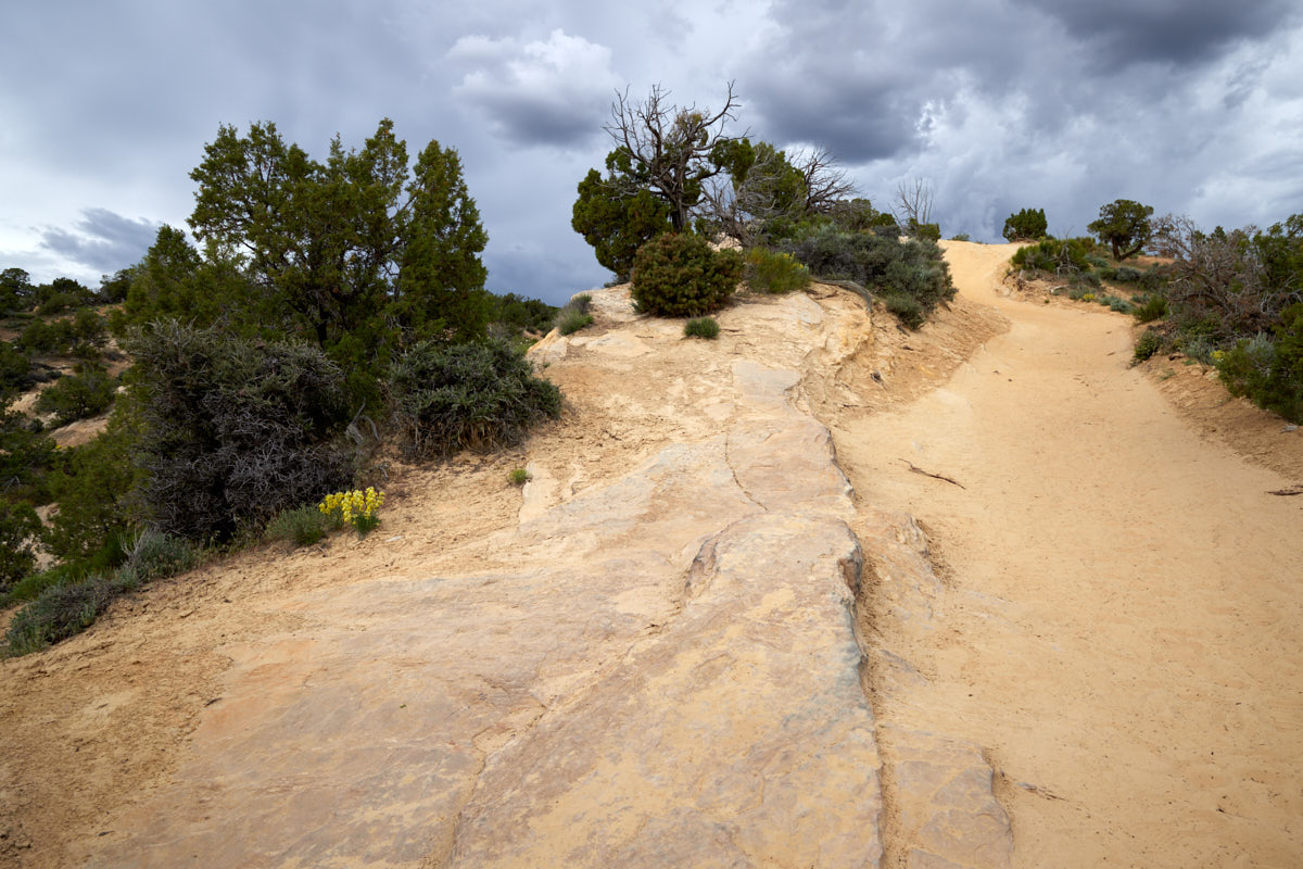
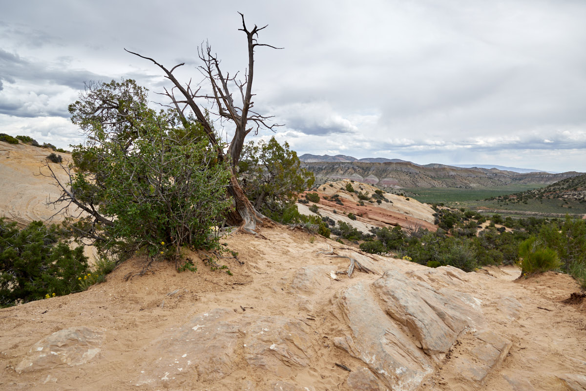
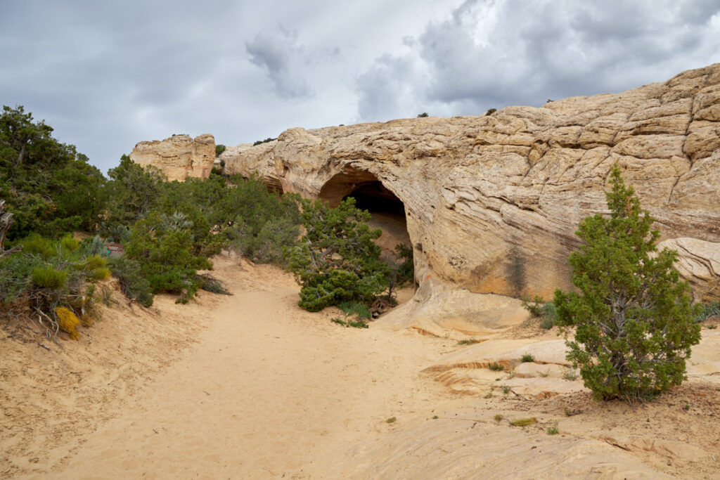
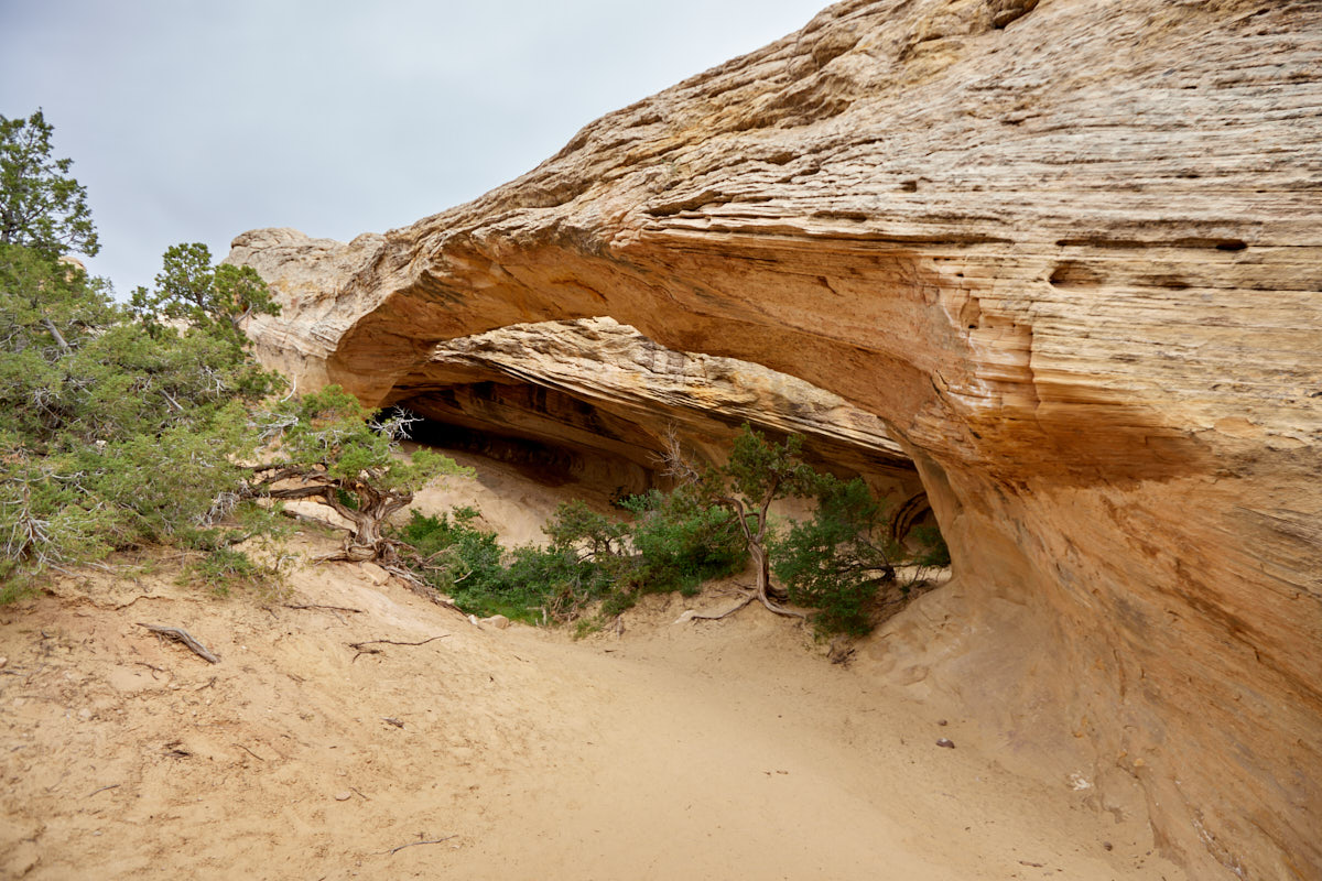
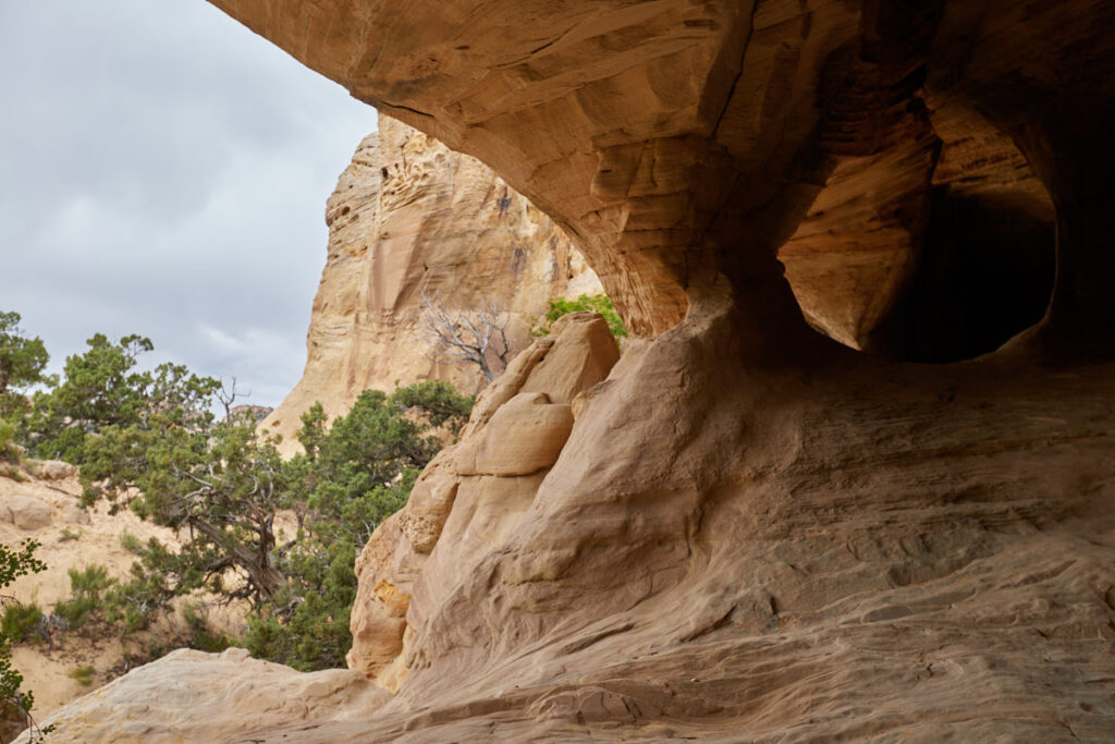
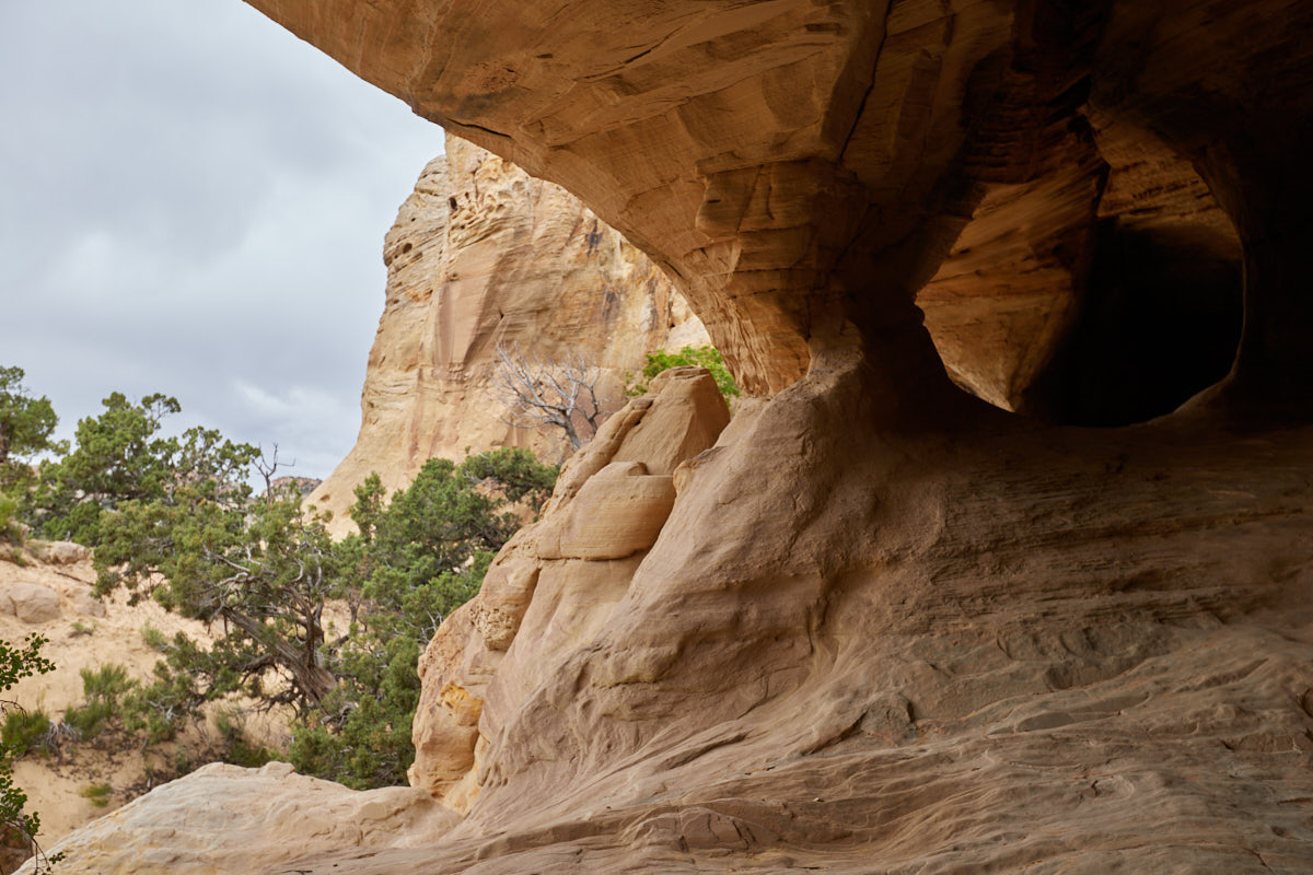
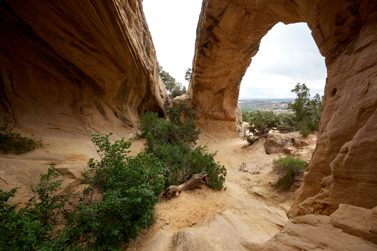
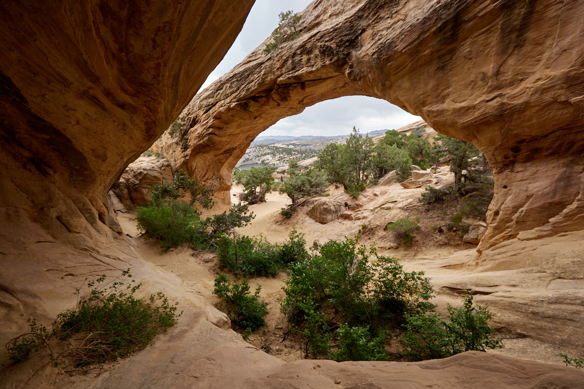
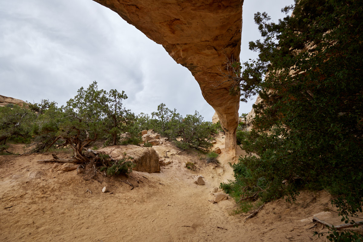
Description: The approach to the trailhead is via a 1.2mi dirt road. This had deep ruts in some places during our visit at the end of May 2023. High ground clearance was definitely an advantage here. There is a large parking lot at the trailhead. The short hike starts from here. You could also drive a little further, as the muliuse-trail leads along a road that you could have driven on with an off-road vehicle. The hike is easy and a nice excursion if you have a little time to spare. At first the path descends and after about halfway it leads more or less over sandstone up to the arch. The arch itself is nestled against a rock face so that at first you only see a dark alcove. For a photo where you can see the arch properly, you have to search and climb a bit.
Our rating: Even though the weather wasn't ideal, we really enjoyed the short hike to Moonshine Arch. Not the most spectacular location you can find in the southwest, but definitely worth a detour.
☆☆☆☆☆Bewertet mit 3.5 von 5
Note: On unpaved roads, road conditions can change constantly. Therefore we strongly recommend to check the road conditions before each trip. Information is available at the Colorado NM Visitor Center. Before reported, during or shortly after rain or snowfall, we advise against driving on unpaved roads.


