Note: On dirt roads, road conditions can change constantly. Therefore, we strongly recommend that everyone check the road conditions before each trip. The most current information is usually available on the BLM website in Escalante. GSENM-Road-Condition-Report
2012: 8mi and 1798 feet of altitude 2014: 9.76mi and 2461 feet of altitude 2016: 8.58mi and 2428 feet of altitude
Our visits: So far 5 visits in November 2009, October 2011, October 2012, October 2014 and February 2016
First things first!!!
To visit the Coyote Buttes North (CBN) area you need a permit. This must be purchased prior to the visit. Every day 64 of these permits are issued. Each permit is valid for one person. 48 of these permits are issued four months in advance by online lottery. 16 additional permits are drawn each morning at 9 a.m. at the BLM in Kanab, for the following day. If you are caught in the CBN area without a permit, you can expect hefty fines. Rangers of the BLM control the area regularly. The exact rules for the allocation of the online permits can be found since 01.10.2020 on the page of Recreation.gov.
Current as of 01/11/2021: Permits for the Wave have been extended from 20 to 64 permits/day. So every day there are 64 permits or max. 16 groups depending on whether the limit of 64 persons or 16 groups is reached first. There is also the option to extend the permits up to 96 permits/day. This depends essentially on how the more people will affect safety, nature, waste, etc.. We will see how it all works out in practice, but it is at least a possibility for those who have not yet been lucky enough to hike to the Wave. Official info about this permit extension.
Current as of 03/15/2022: From 15 March 2022, the on-site lottery will also be switched to an online system. As before, 16 permits or 4 groups - depending on which is reached earlier - will be drawn. All important information about the lottery and the conditions can be found on the page of recreation.gov. Through this page you can also register for the permits. A summary and our personal experience with the on-site permit lottery can be found at our Permit webpage.
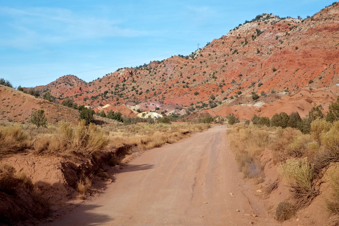
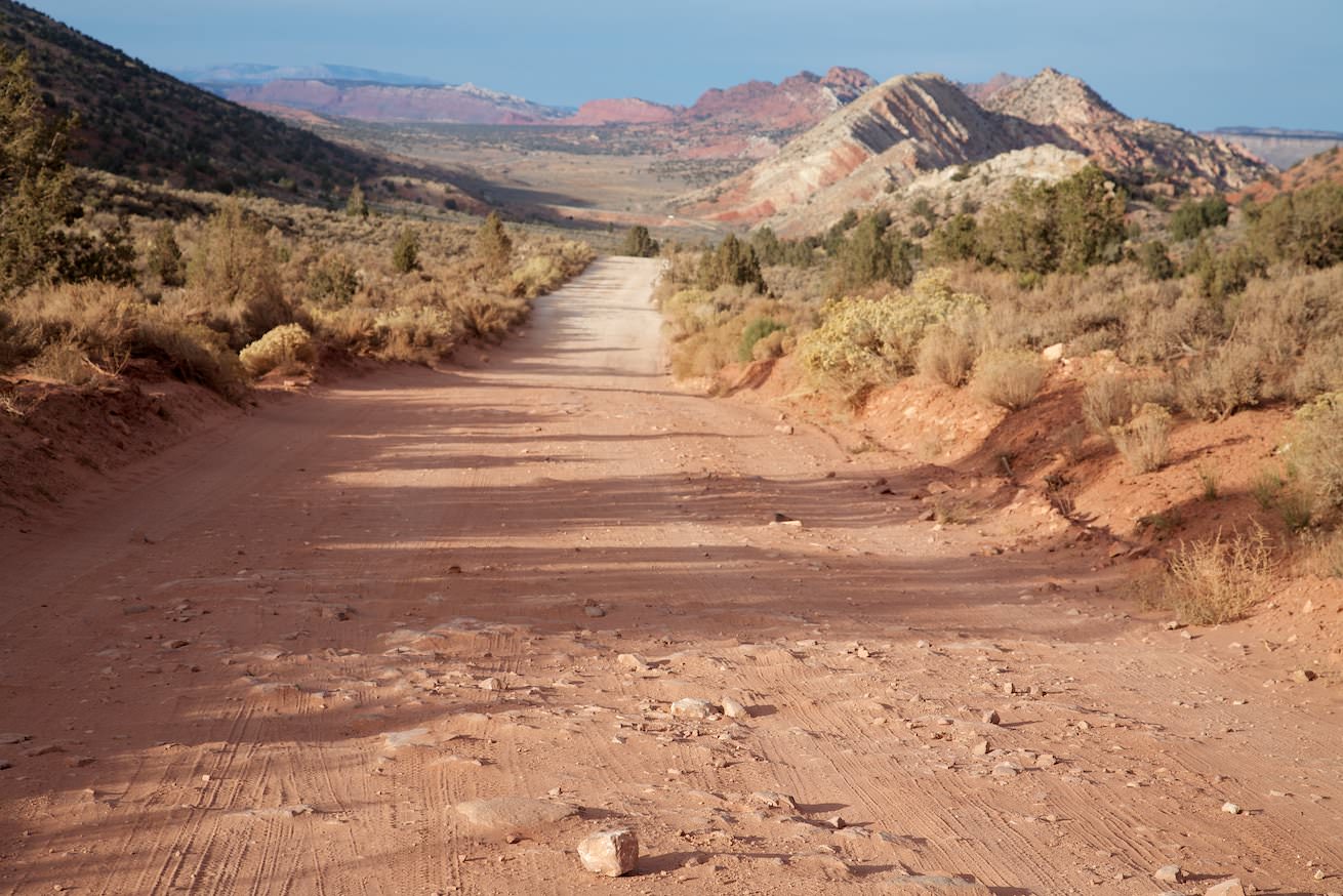
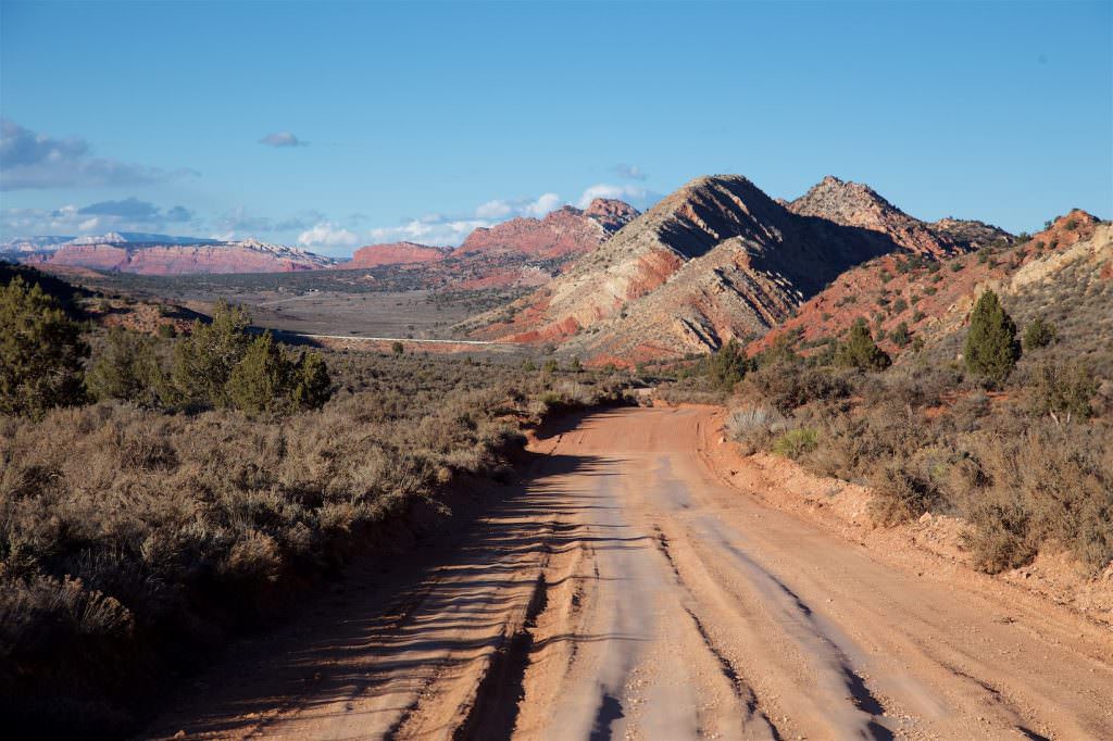
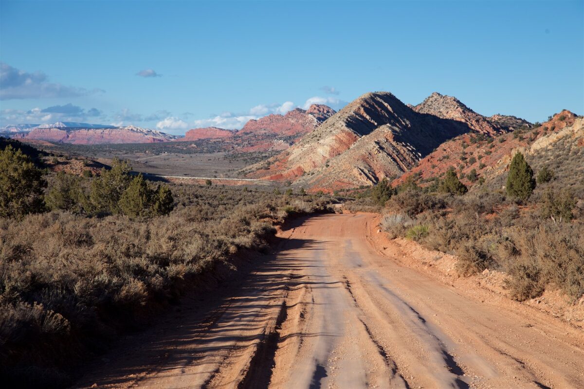
House Rock Valley Road
Directions to the trailhead
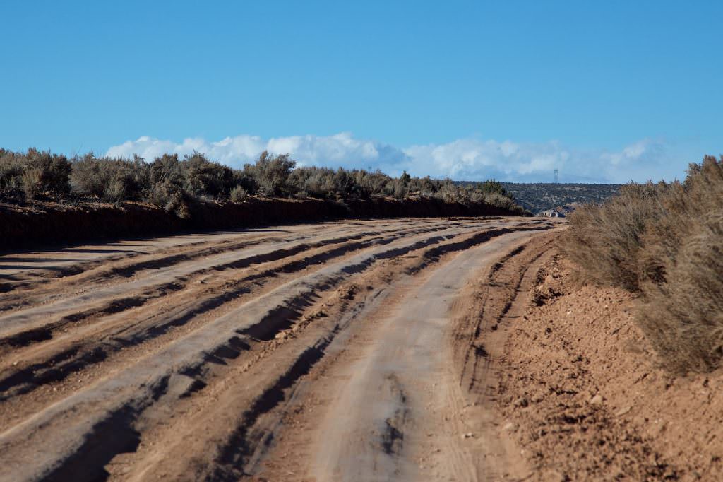
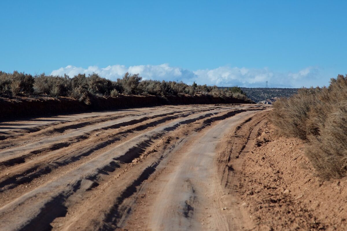
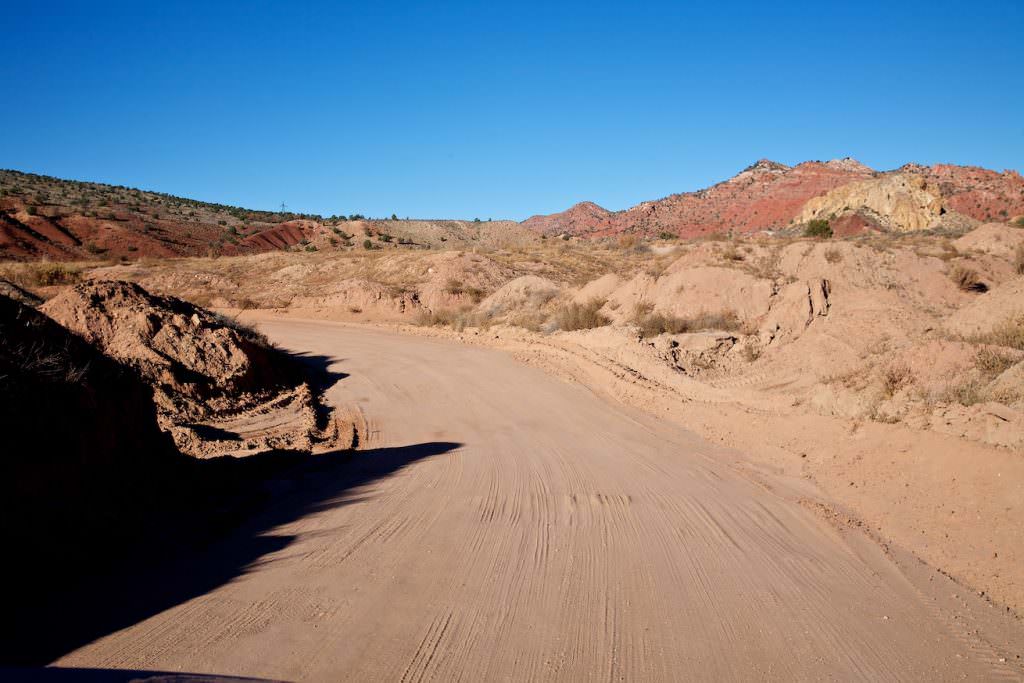
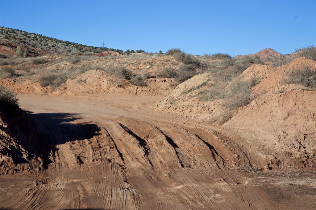
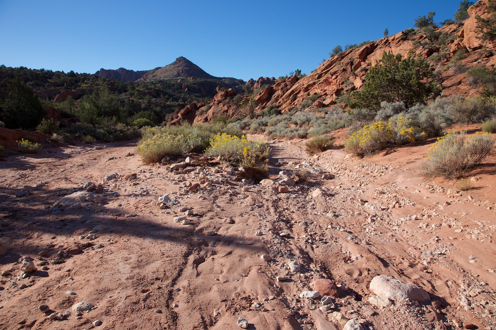
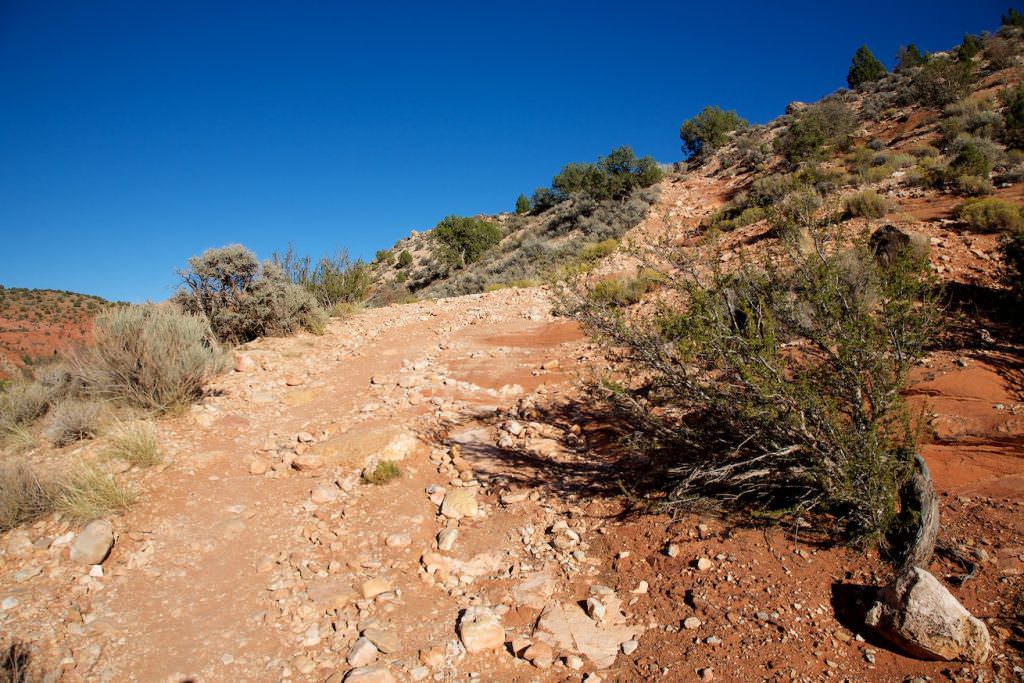
The drive to Wire Pass (trailhead) is via House Rock Valley Road. The entire road is approximately 30mi long and unpaved. It connects Highway 89 to the north with Highway 89A to the south. Classically, the approach is from the north. From Highway 89, the road to Wire Pass is approximately 8mi. For the most part, the road is in good condition. The only really tricky part is at Buckskin Gulch, which must be crossed. If it has rained in the days prior, there is a good chance that the wash will have water in it, making passage impossible. This crossing is still 4mi from the trailhead. If the approach from the north is not possible, you can also take the longer route from the south. Again, however, be sure to check road conditions before doing so. As with all dirt roads, House Rock Valley Road is only passable in dry conditions. The current road conditions of the House Rock Valley Road can be found here.
House Rock Valley Road
House Rock Valley Road
Clayey slope. Be careful when it rains!
House Rock Valley Road
Clayey slope. Be careful when it rains!
House Rock Valley Road
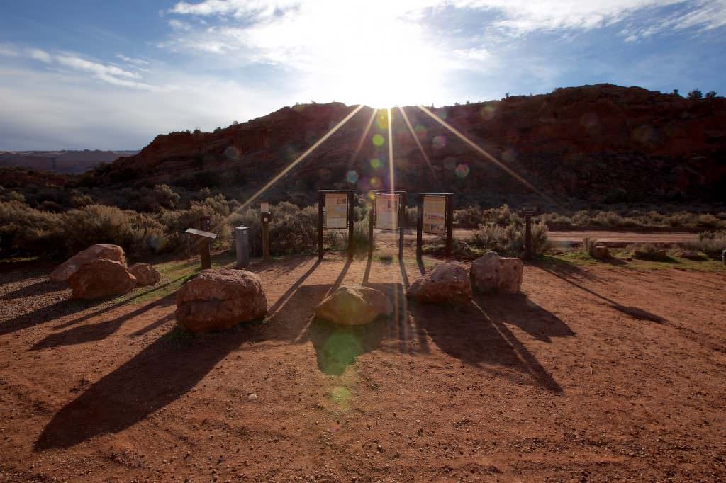
Wire Pass Trailhead in the morning
House Rock Valley Road
Buckskin Gulch in freshly maintained condition
House Rock Valley Road
Buckskin Gulch dried up again after rains
Wash at Wire Pass
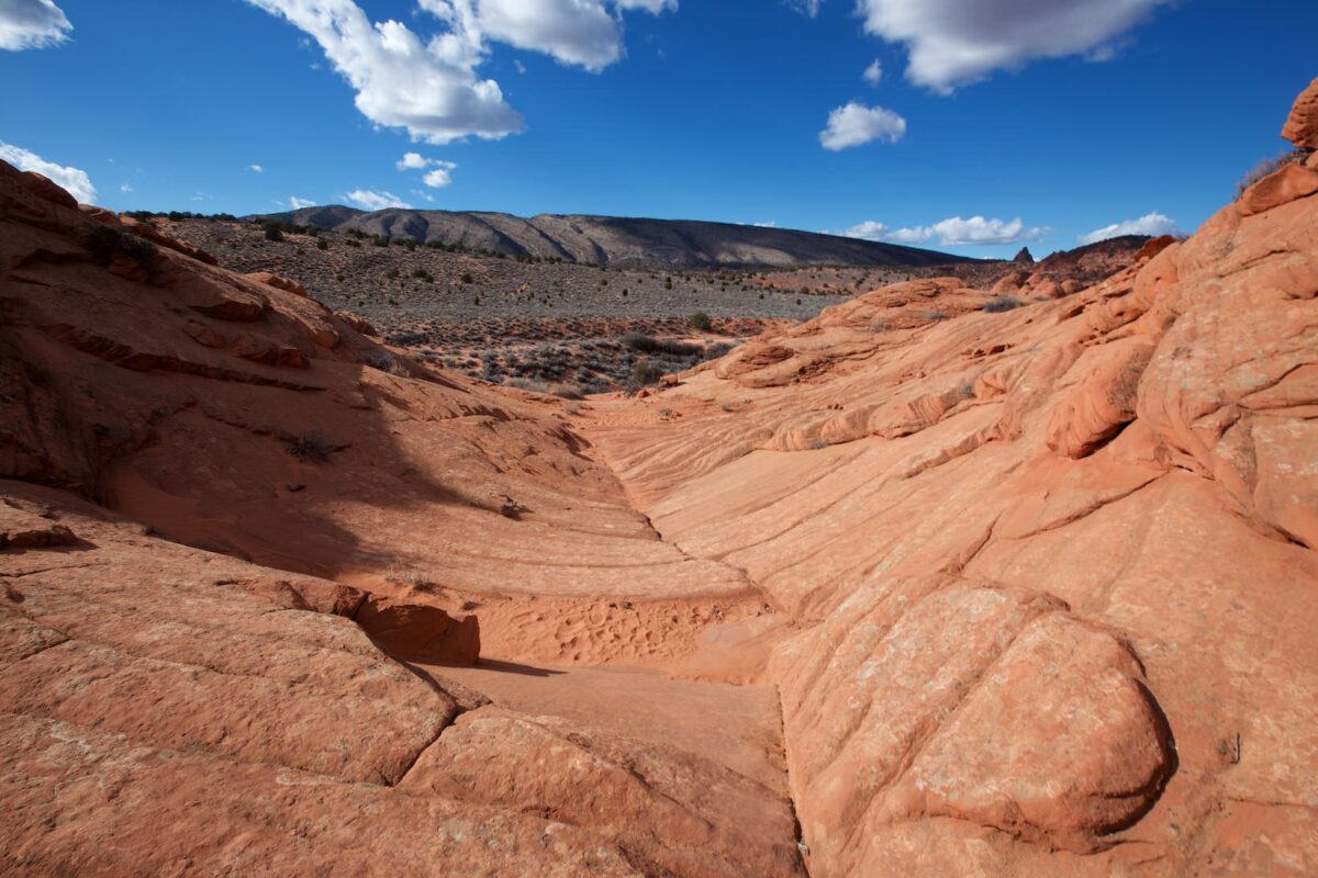
Landschaft an der alten Jeep Road
The Hike to the Wave
To start, let it be said that there is a second trailhead for the hike to the Wave. The Notch Trailhead is located a few miles to the south on House Rock Vally Road. The BLM recommends hiking from the Wire Pass Trailhead.
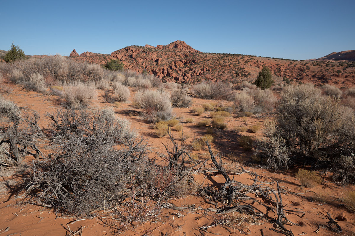
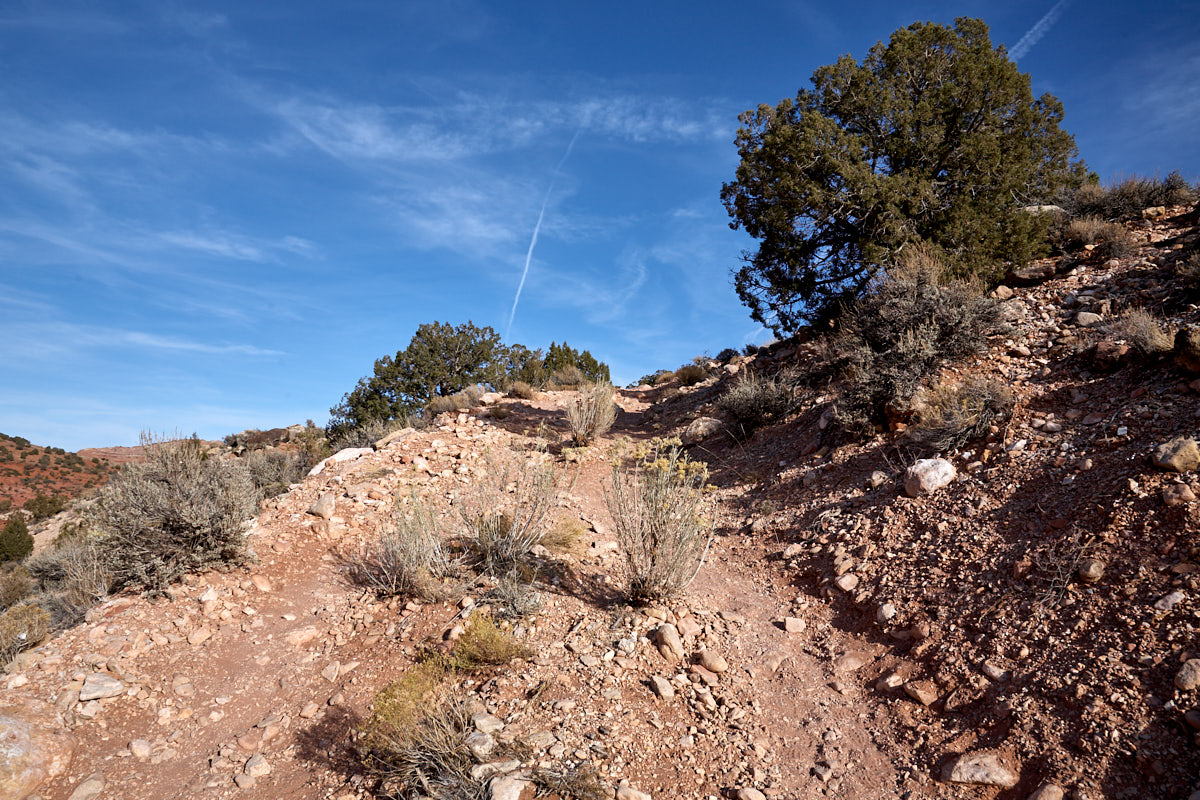
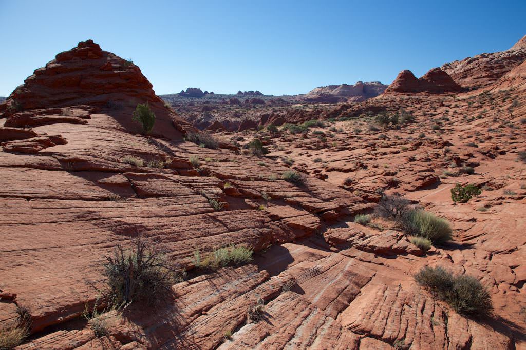
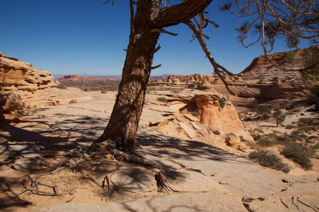
We have started at all our visits from the Wire Pass Trailhead and therefore this trail is also described here. With the permit that you attach to your backpack, you get a detailed description of the trail with photos and GPS coordinates. So the trail is easy to find. We start at the Wire Pass Trailhead. Coordinate: Latitude: 37.019398; Longitude: -112.025015. From there you hike for a while in the Wire Pass wash. After a few 100 meters you leave it onto the old Jeep Road. The road is steep and your circulation starts to pick up for the first time. It will not be the last time today. Coordinate: Latitude: 37.019974; Longitude: -112.018014. Over a huge sand hill the trail now continues downhill into another wash. After you have crossed it, it leads over a sandstone saddle first up and then of course down again. From now on you are in the permit area. Coordinate: Latitude: 37.015477; Longitude: -112.009111. From here on you should not hike without a permit.
Junction out of the wash onto the old Jeep Road
Old Jeep Road
The Hike to the Wave
Old Jeep Road
The Hike to the Wave
Wash after the sand hill
The Hike to the Wave
Sandstone saddle, view back from the saddle crest
The Hike to the Wave
On the other side of the sandstone saddle
The Hike to the Wave
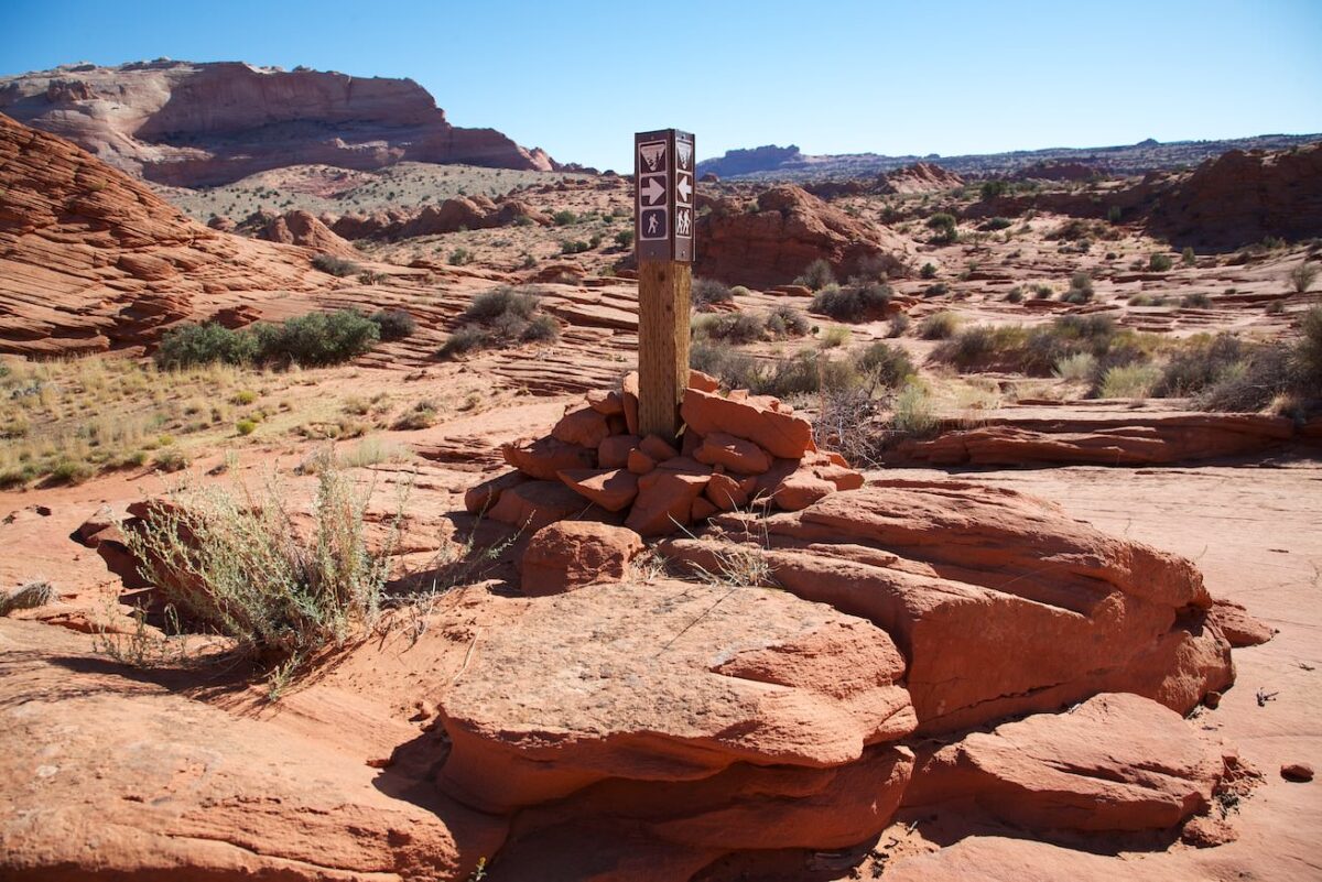
Sign
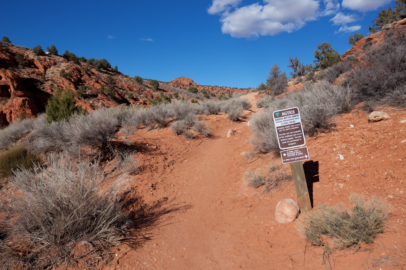
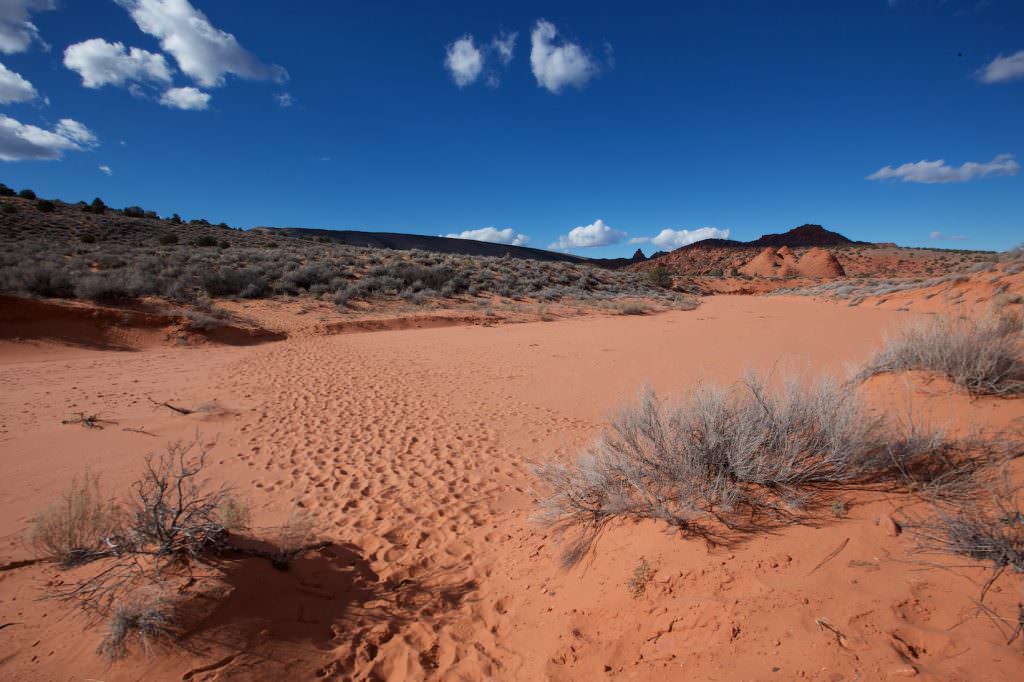
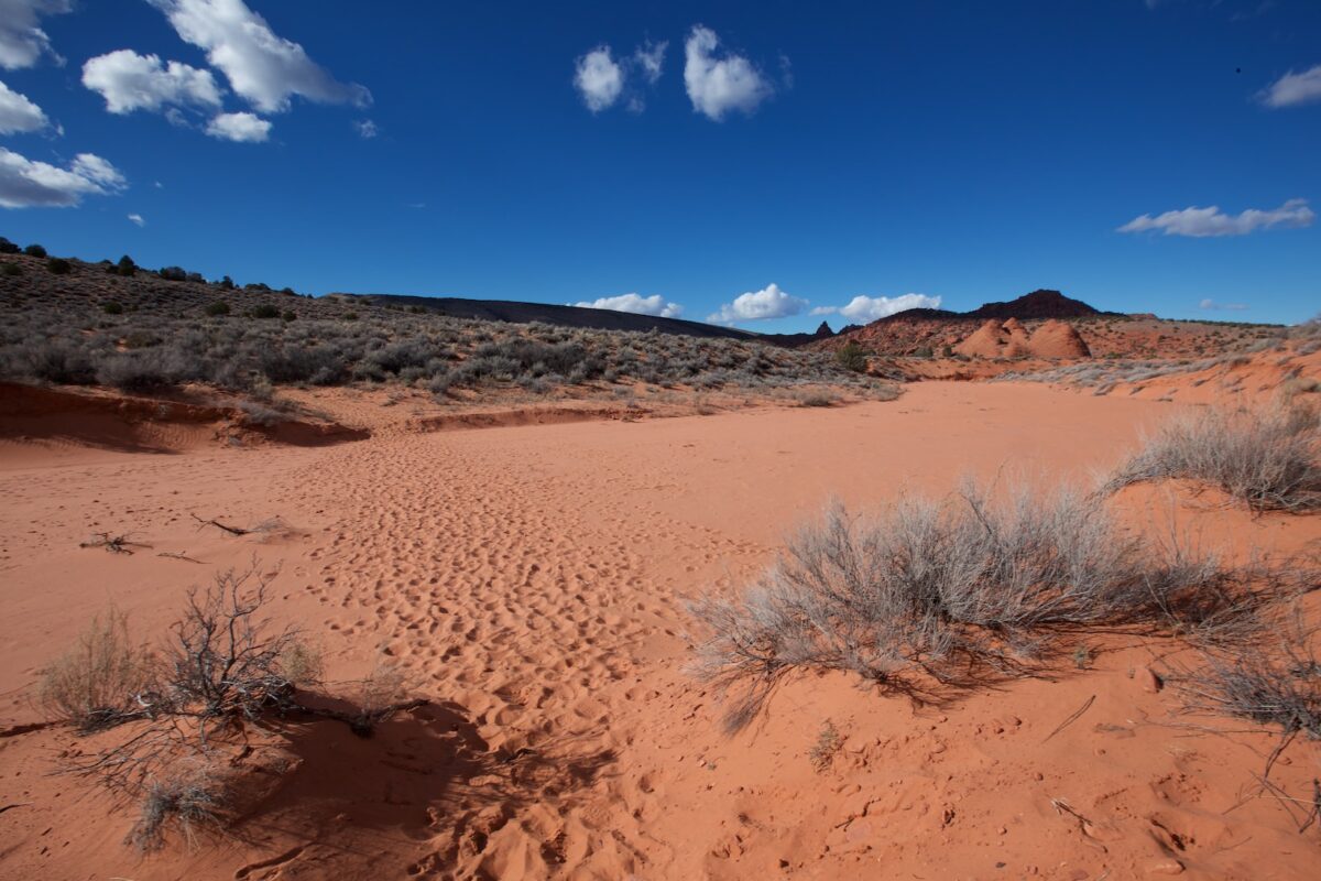
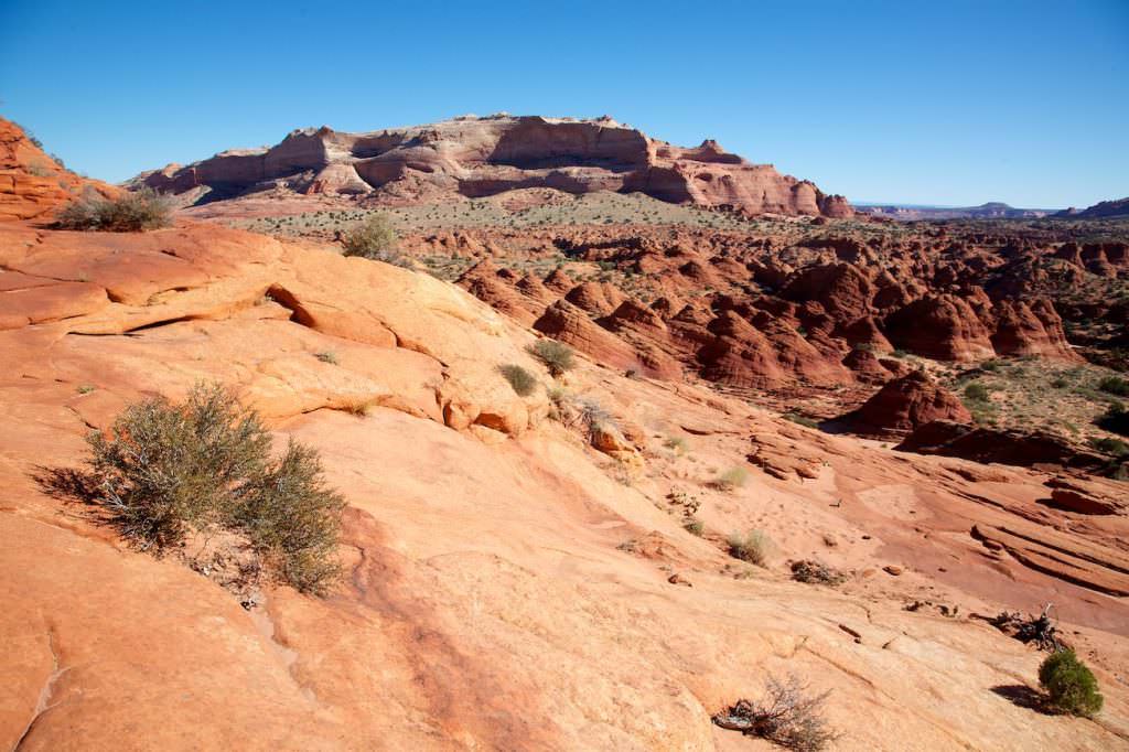
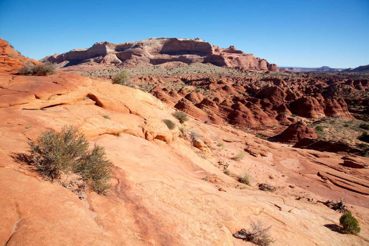
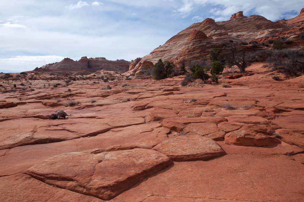
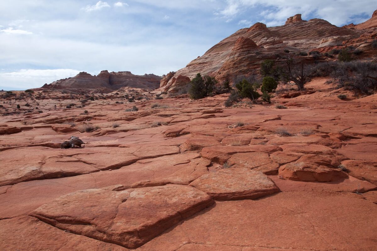
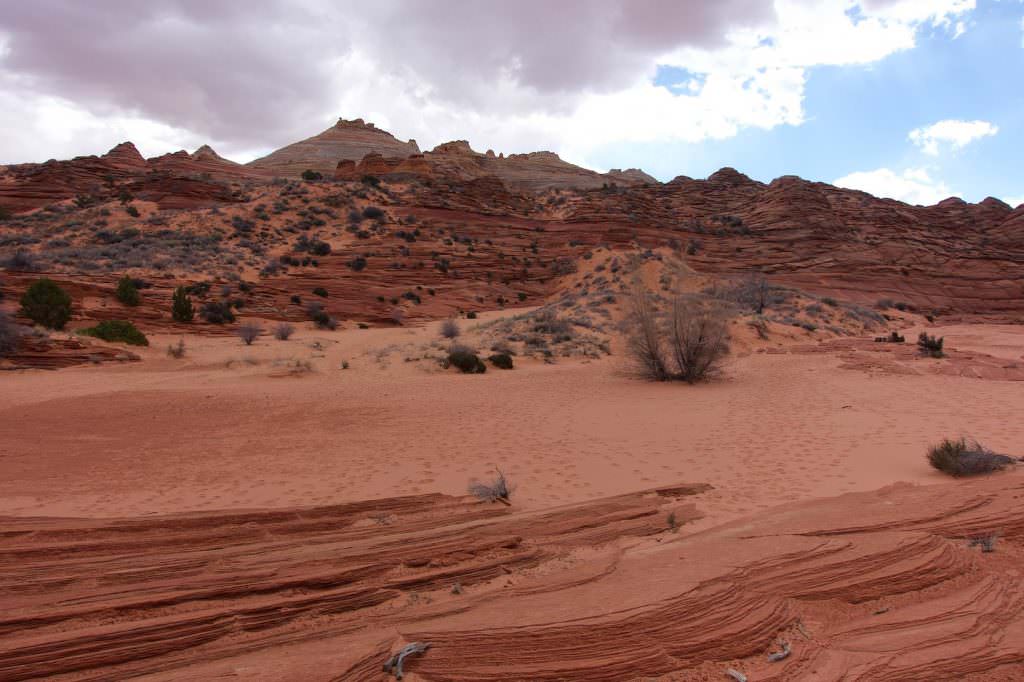
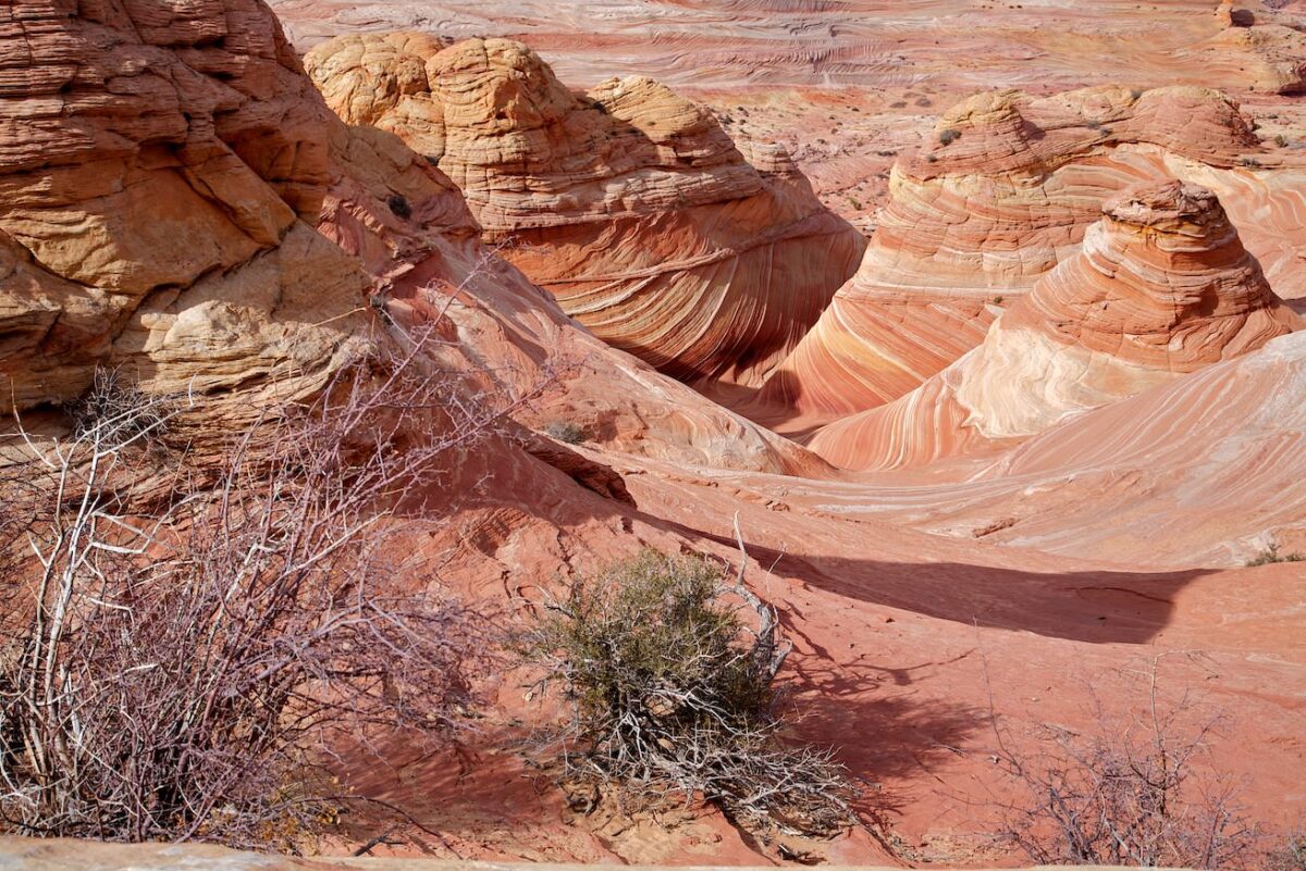
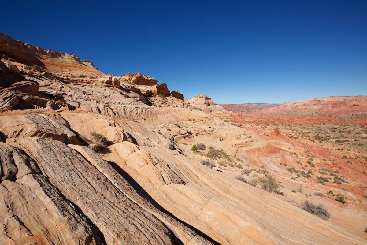
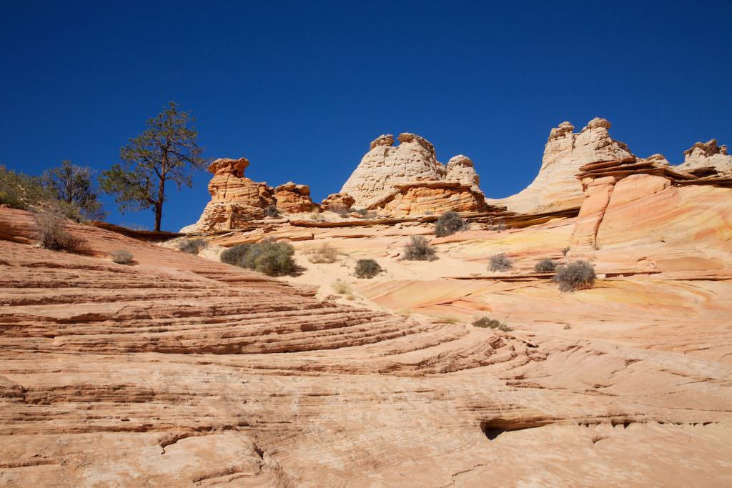
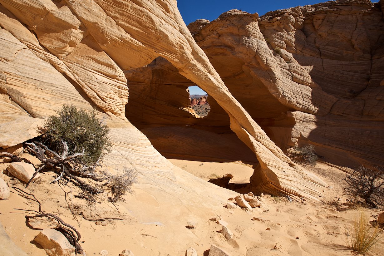
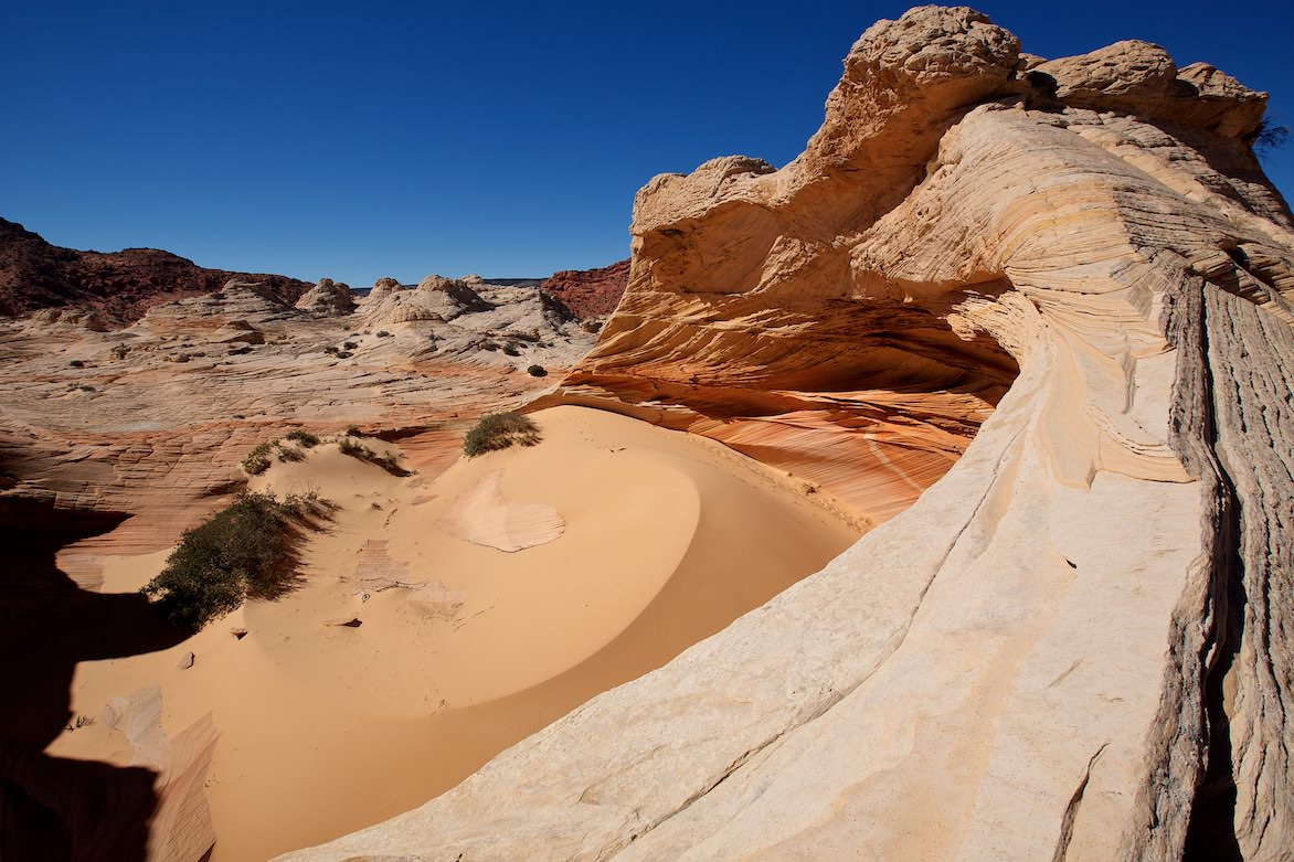
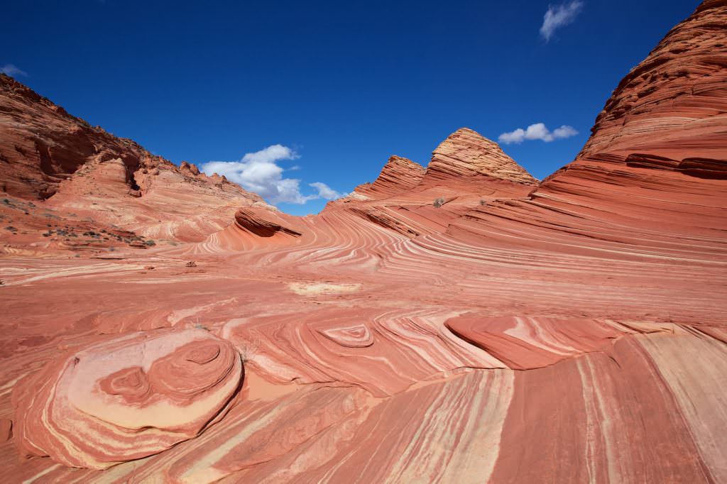
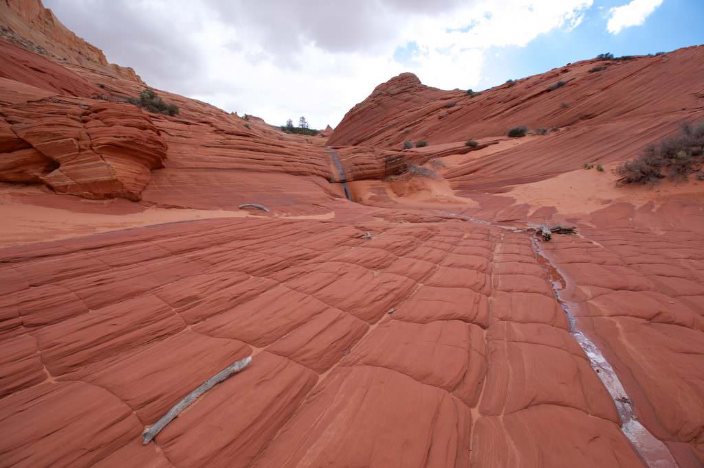
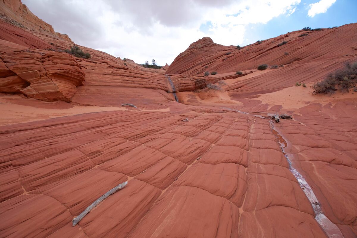
Here the path continues for a while on sandstone. After you have crossed the saddle, you should remember the place well, because here you also have to go back. Since there have been a few accidents in the past with people who got lost, signs have been put up at this point. From here you hike in southern direction relatively straight ahead. It goes always uphill and downhill over sandstone. After a short time, two sandstone hats come into view at the top of the slope. You go around them on the right side! The two hats mark the border between Utah and Arizona. Coordinate: Latitude: 37.009984; Longitude: -112.008407. From now on, navigation is very easy, because you always hike towards the vertical crack that you see in the stone formation in the distance. Once you have arrived below the rock, you are in front of a huge sand dune. Coordinate: Latitude: 36.998871; Longitude: -112.006422. Basically, you don't have to go up over the dune but can also find your own way. However, if you want to get to the wave, you have to go up somehow. The way is exhausting and not easy. It is steep and everything is full of sand. So you have to be careful. Once you reach the top, you are not quite there yet. It continues, now more moderate, uphill and always straight ahead, until you stand in front of the entrance to the Wave. Coordinate: Latitude: 36.996529; Longitude: -112.006228. The effort was worth it, after a little more than 2.8mi you have arrived. Now the only thing left to do is enjoy. We needed about 2 hours for the hike. If you do not invest time for photography on the way, you can certainly get to the Wave faster.
The Hike to the Wave
Sandstone hats top right
The Hike to the Wave
At the back left you can see the crack in the rock
The Hike to the Wave
Sand dune at the foot of the wave
The Hike to the Wave
Entrance to the Wave
The Hike to the Wave
Look back
Entrance to the Wave
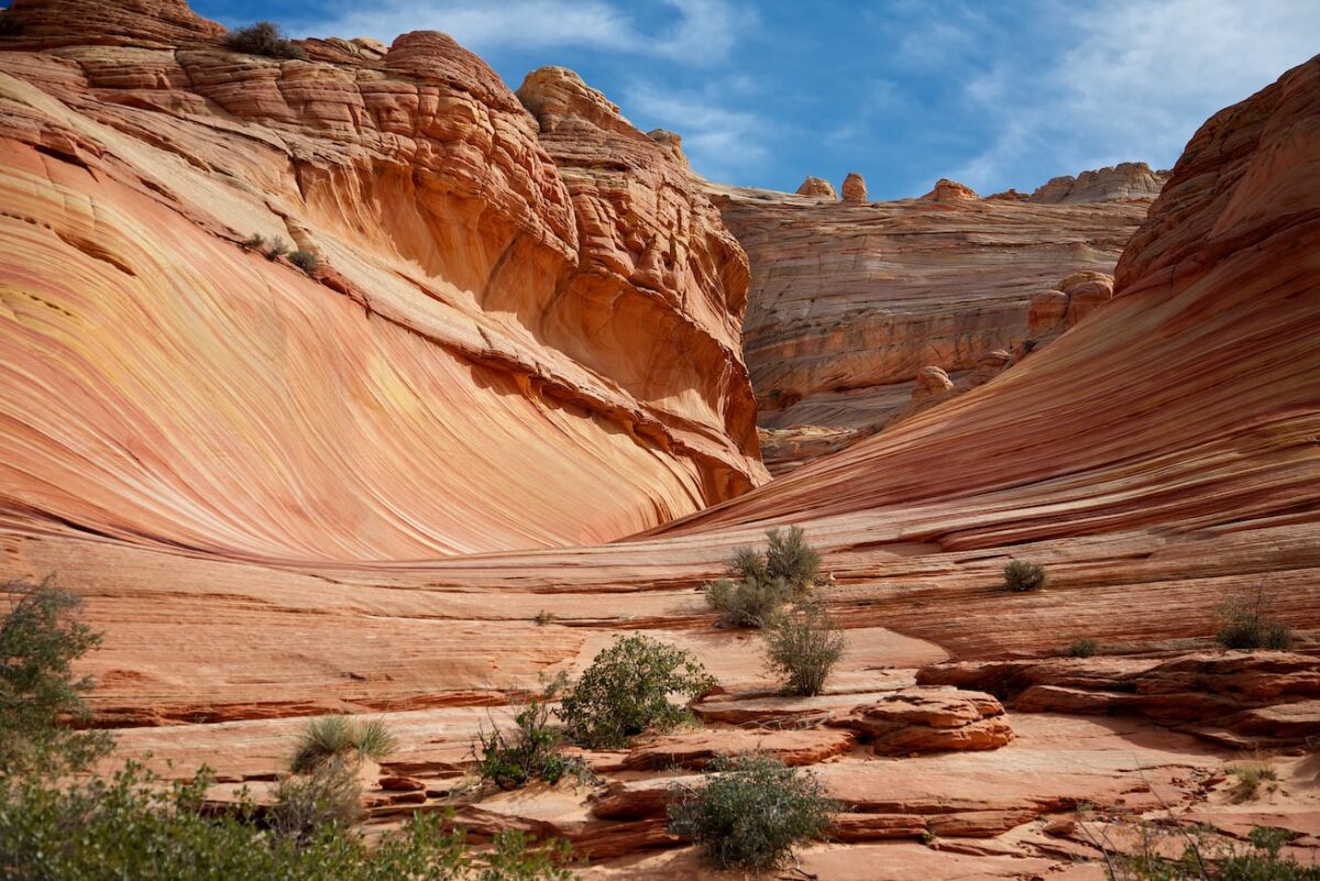
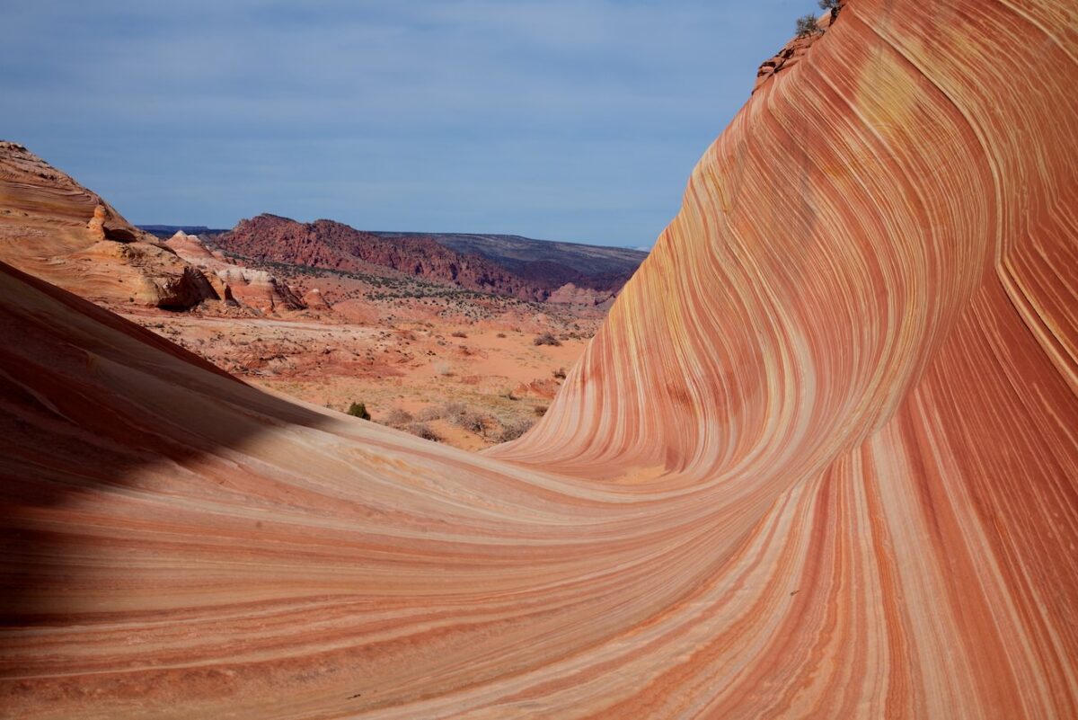
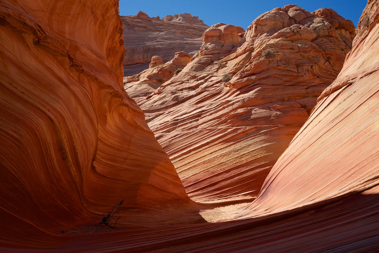
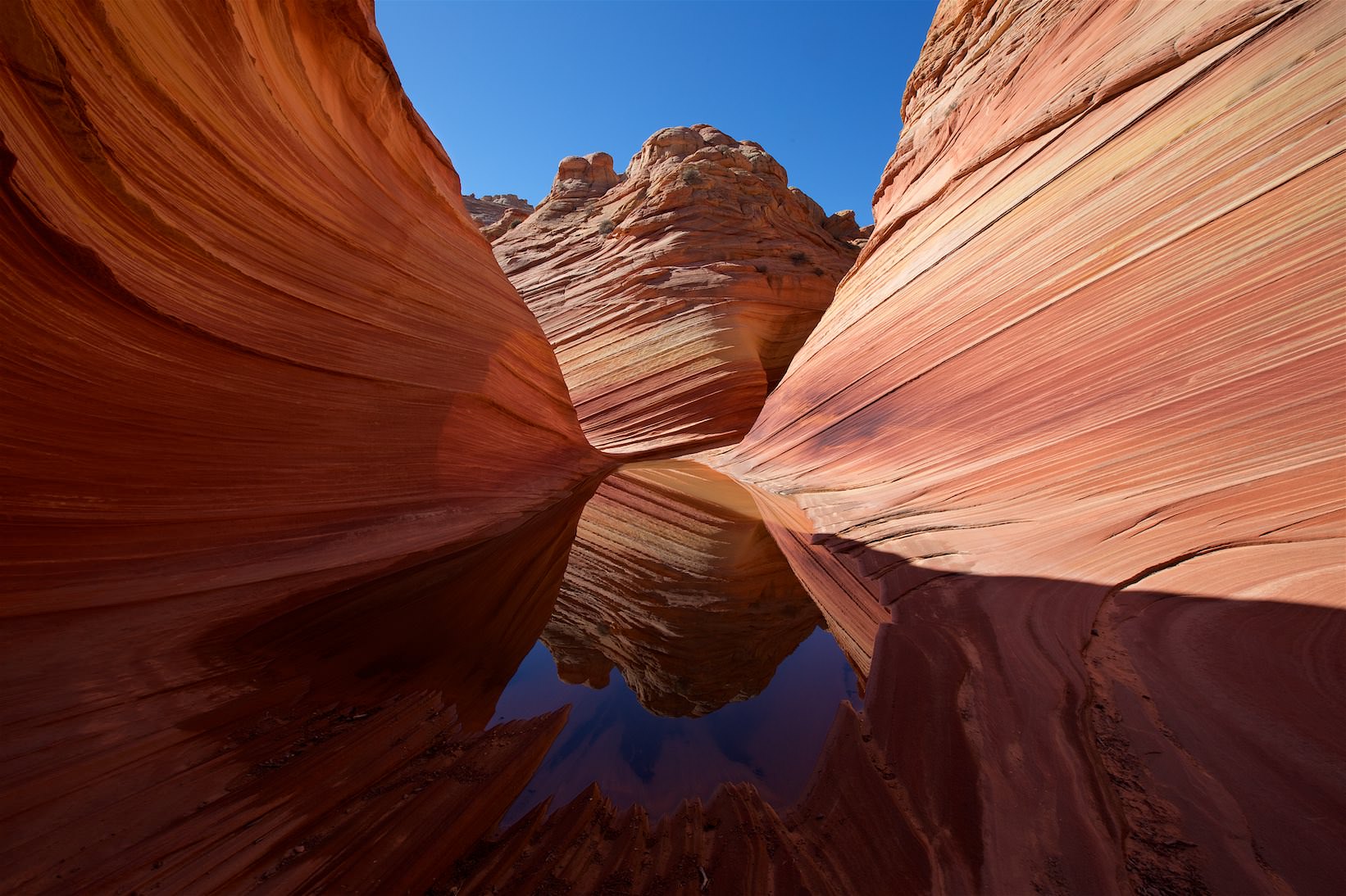
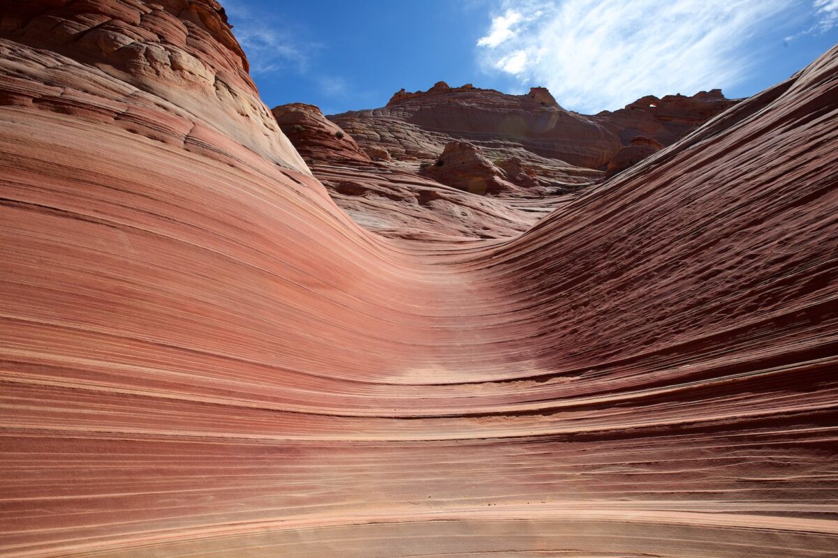
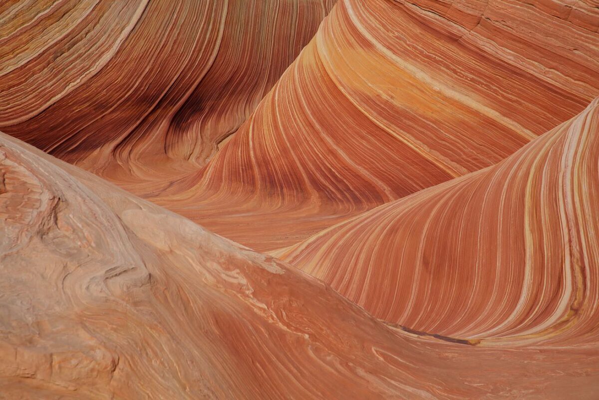
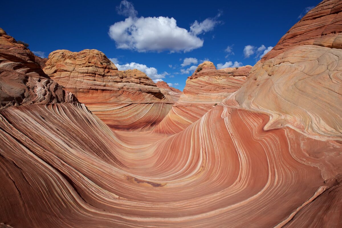
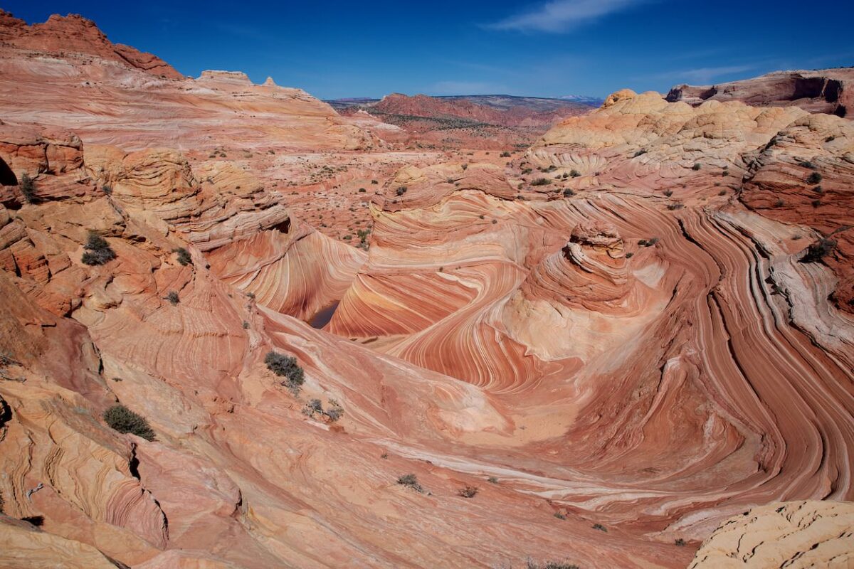
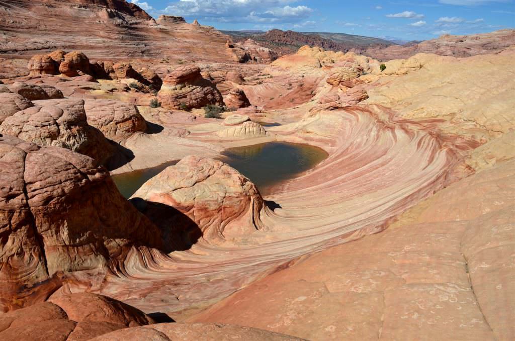
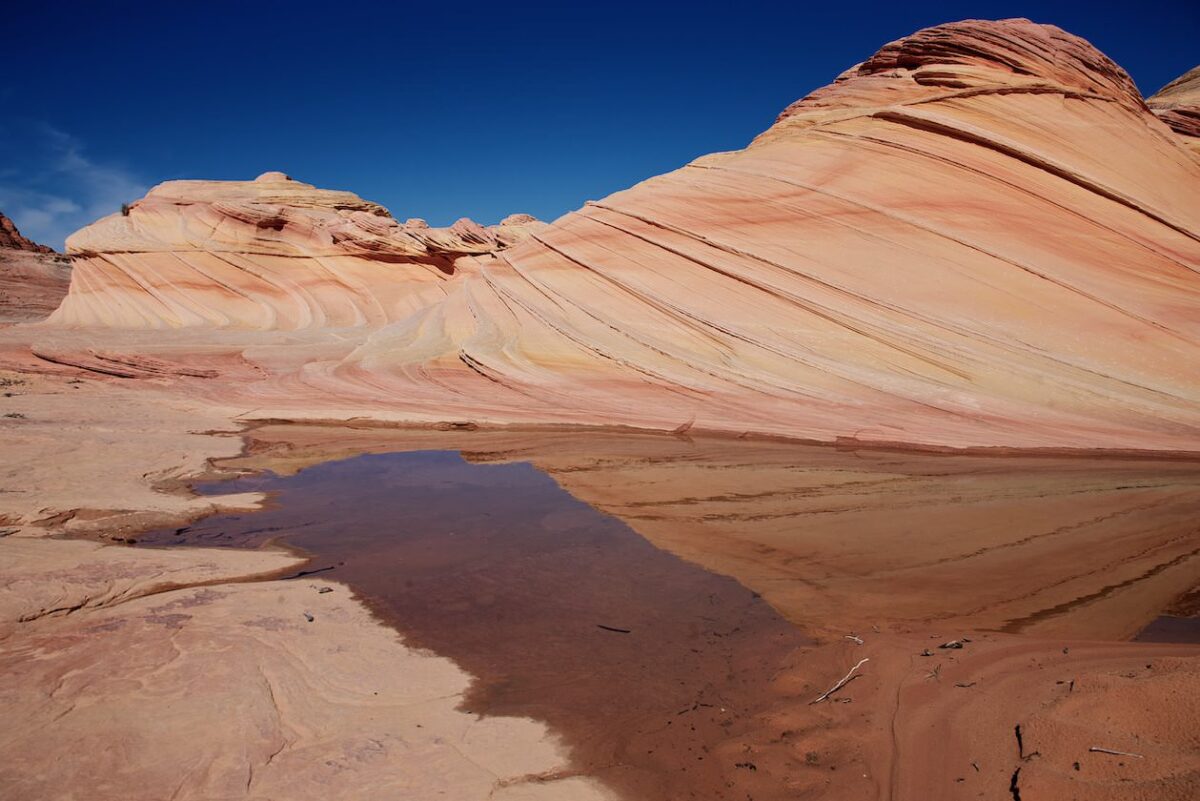
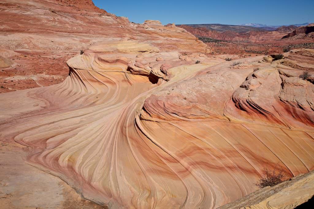
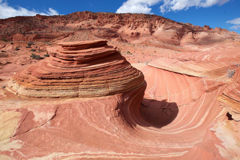
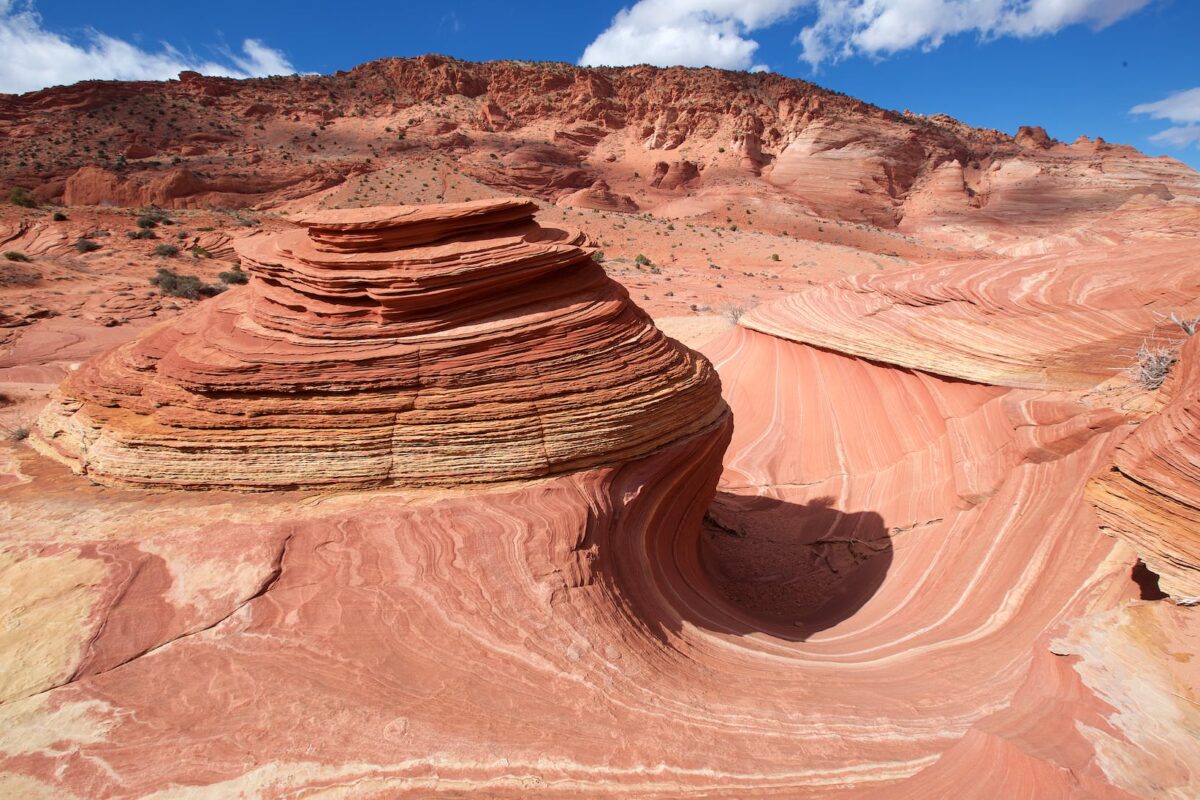
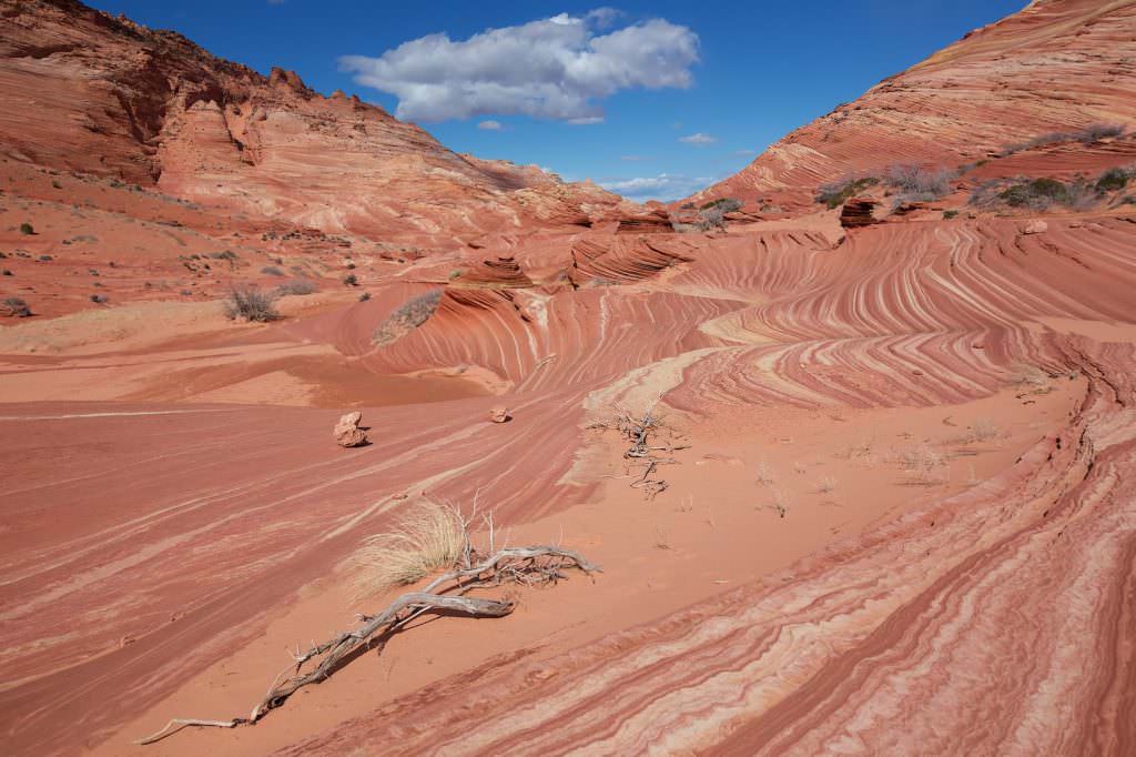
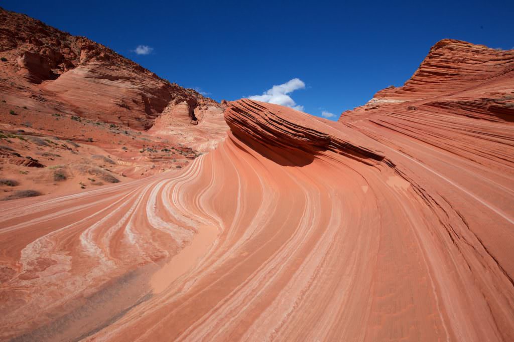
The Wave
The main attraction in the CBN is definitely the Wave. Not least since it was chosen to be the screensaver of a well-known computer operating system, more and more people make a pilgrimage here. Due to the limitation to 64 people per day, the area of the CBN will remain a wilderness and you can enjoy the natural beauty around the Wave in relative peace and solitude.
If you go straight up and to the right (south), below Top Rock out of the Wave, you reach the Brainrocks and the Second Wave. If you go out to the left (northeast), you will reach Top Rock
The Wave
The Wave
The Wave, view back to the entrance (right front)
The Wave
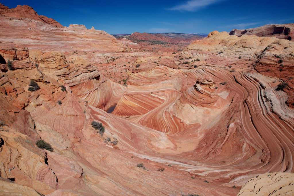
The Wave from above
The Wave
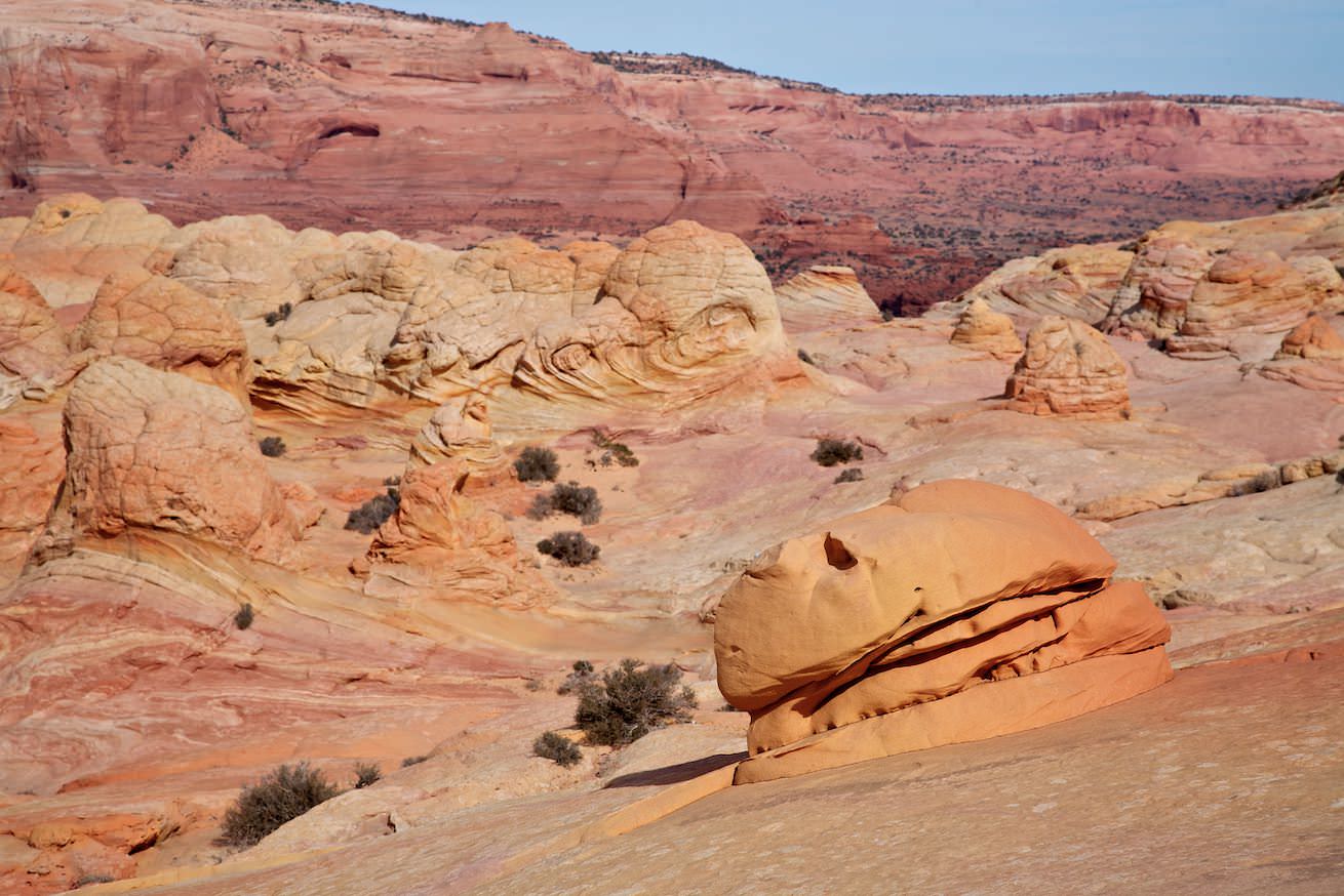
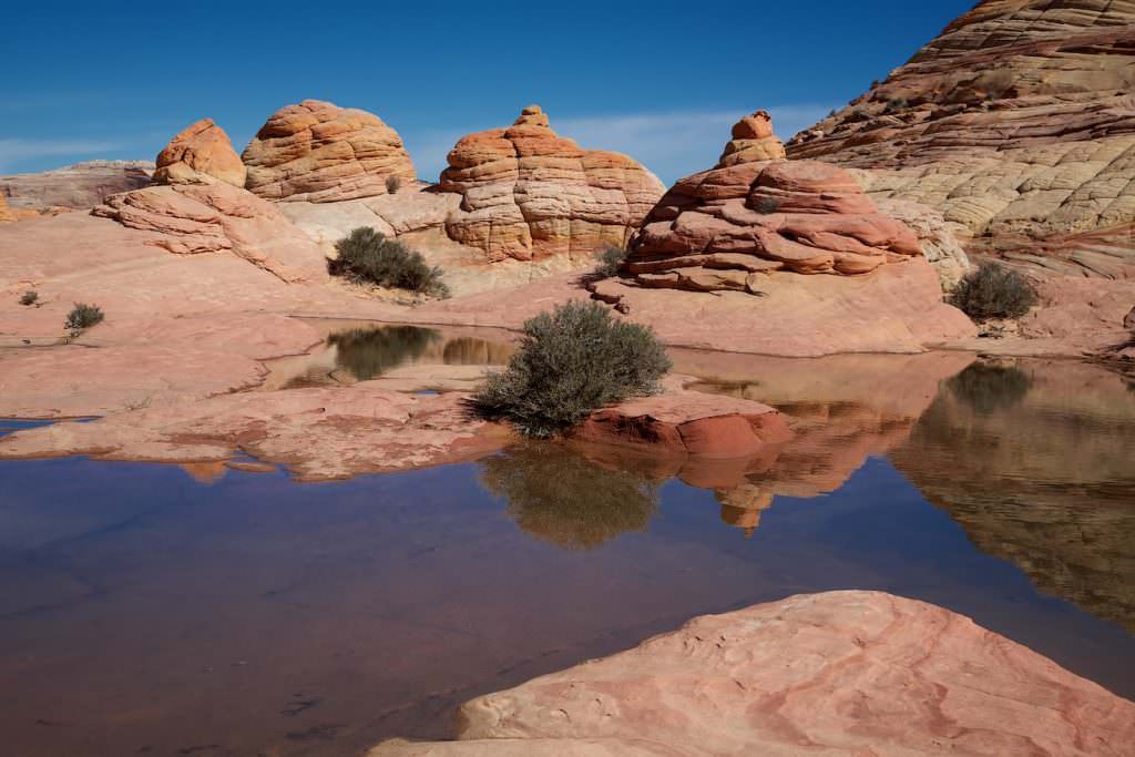
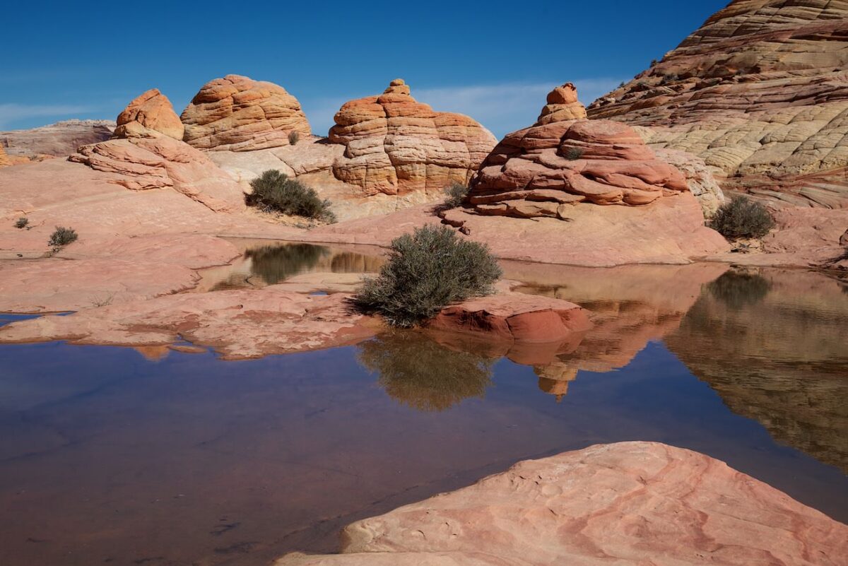
Besides the Wave there are many other great natural beauties to discover
Brain Rocks and Hamburger Rock
Brainrocks and Second Wave
If you continue above the Wave in a southerly direction, you will first reach the Brain Rocks and then the Second Wave.
From the Second Wave you can also get to the Top Rock. However, the climb here is very steep and not necessarily recommended. The download from 2012 contains the track with the climb over Second Wave.
☆☆☆☆☆Bewertet mit 4.5 von 5
Second Wave
Brain Rocks
Brain Rocks
Second Wave
Climb to Top Rock via the Second Wave
Second Wave
Second Wave
View back to the Wave.
The hike up Toprock
A much safer way up Top Rock is to leave the Wave and head northeast. You hike a few hundred meters, about halfway up, along the northern flank of Top Rock before reaching the top through a gully.
The 2014 download includes the track with this hike up to the Top Rock.
☆☆☆☆☆Bewertet mit 4 von 5
Looking ahead to the trail.
Weg auf den Toprock
Look back
Weg auf den Toprock
Look back
Weg auf den Toprock
The Big Mac
Weg auf den Toprock
The wall you have to climb
Weg auf den Toprock
Look back
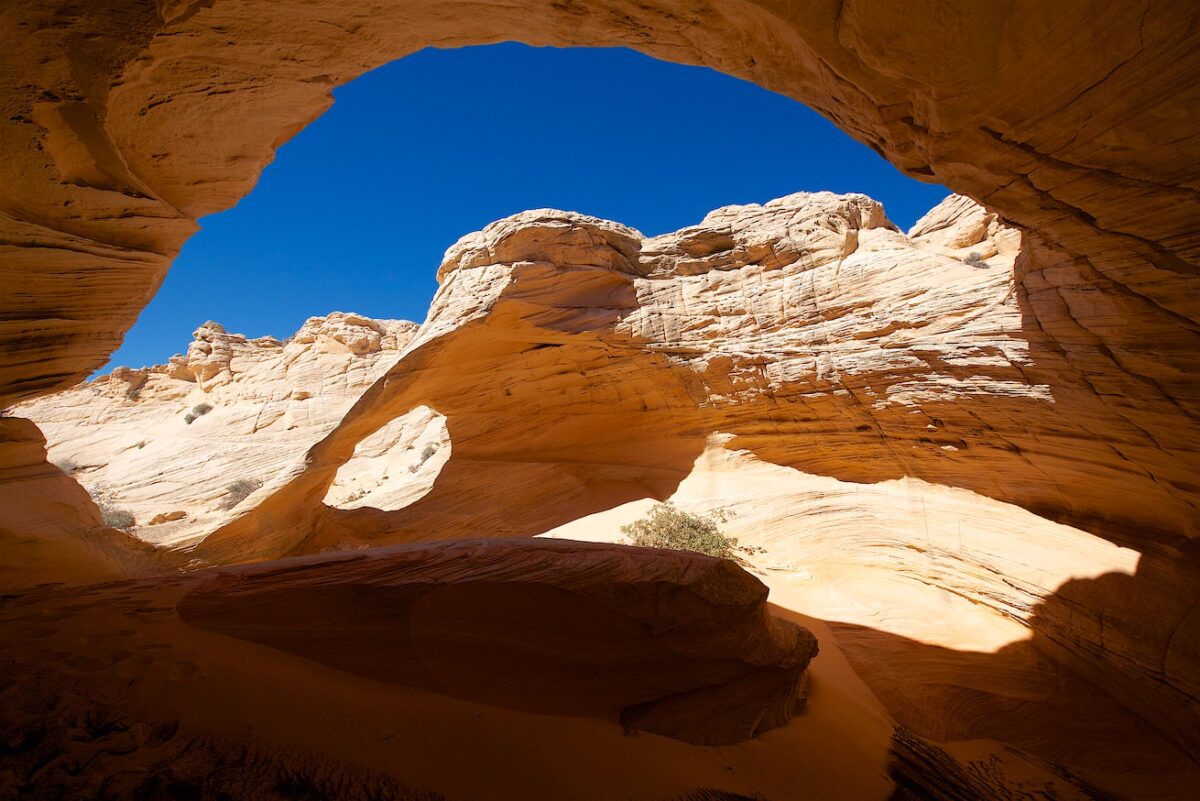
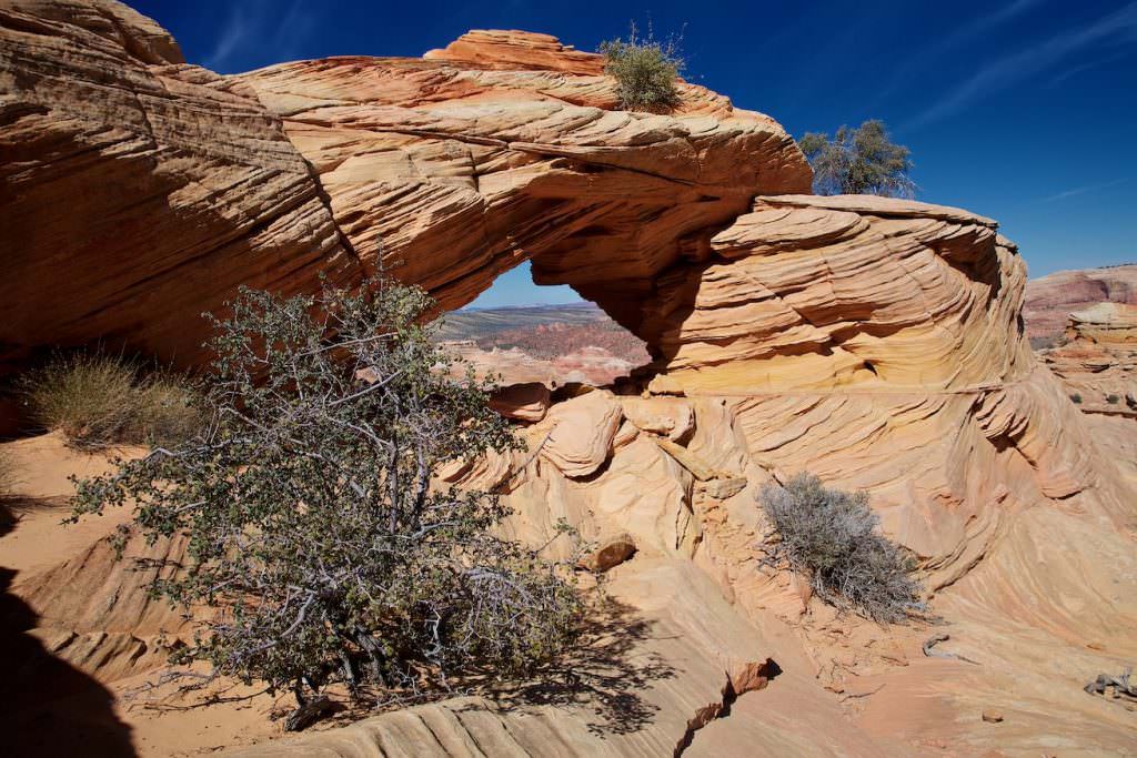
Melody Arch
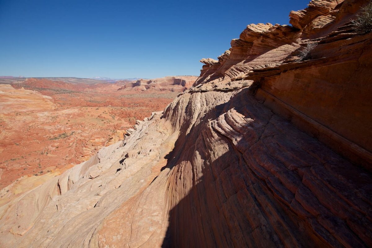
On the Toprock
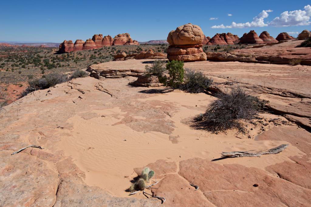
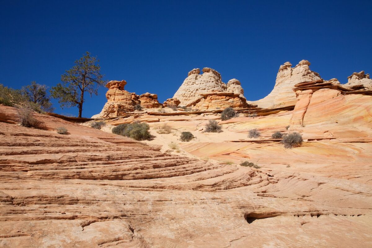
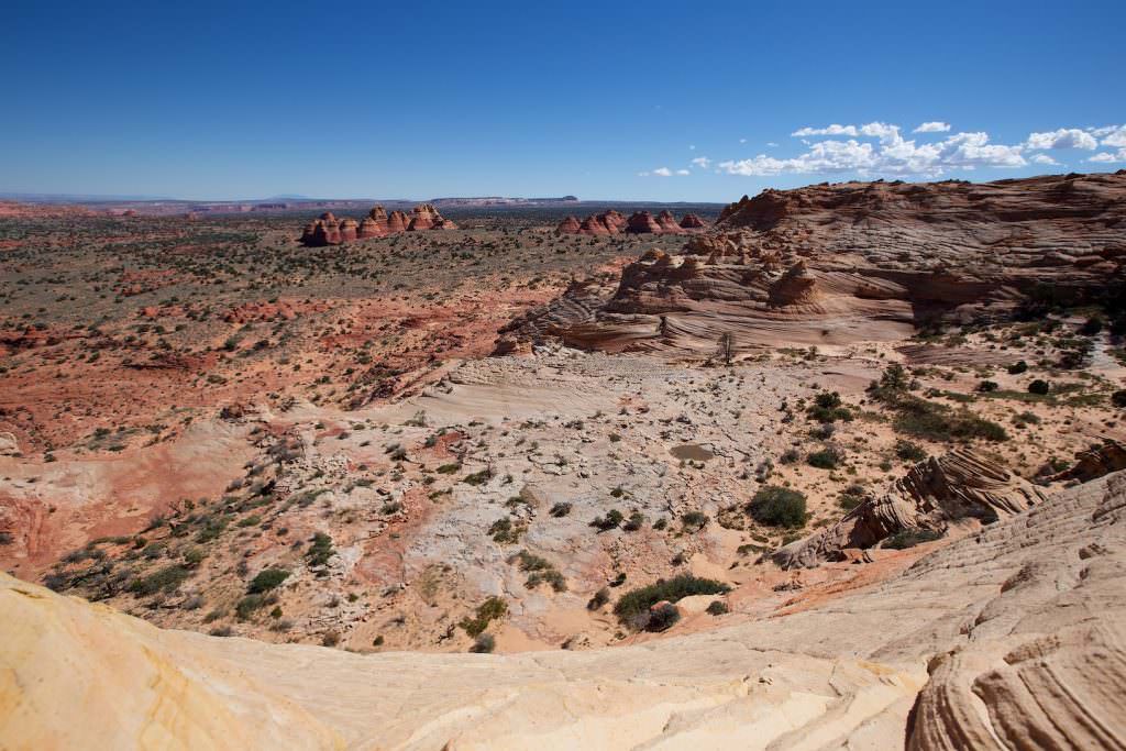
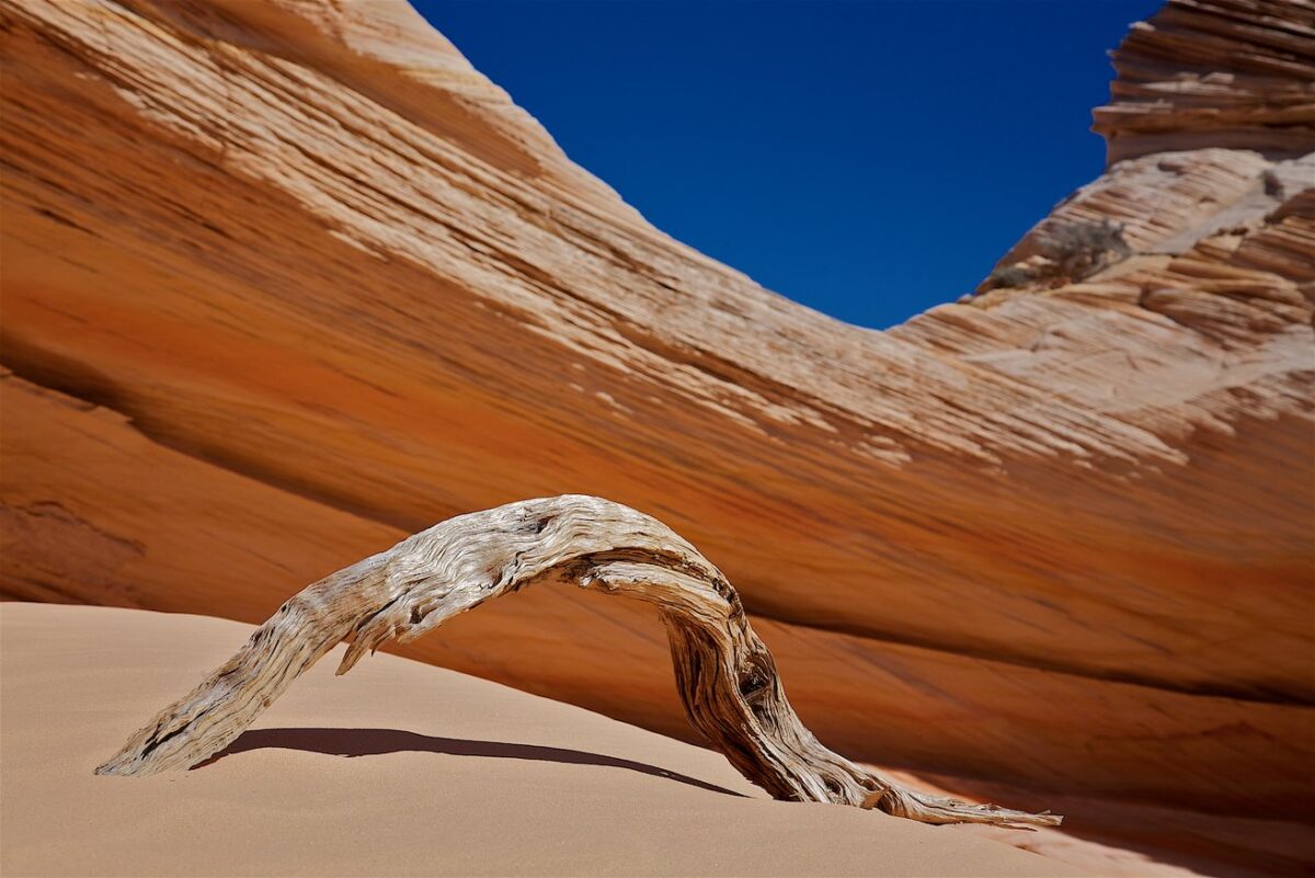
The area around the Toprock is huge. One could certainly spend days up here. However, spending the night in the CBN is not allowed. But a few highlights can be reached within a day hike.
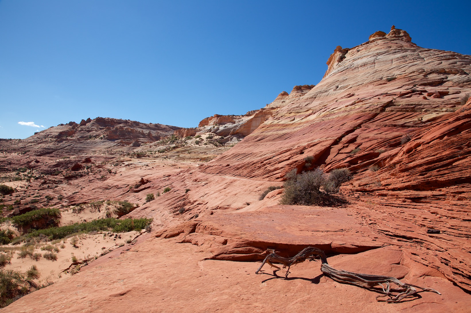
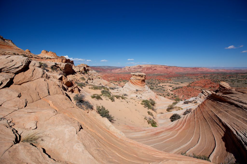
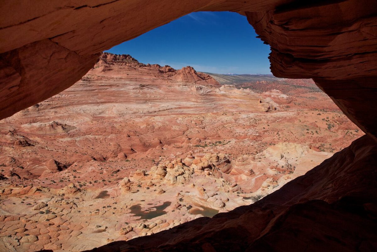
The landscape below the wave is also well worth seeing. The terrain is not quite easy to walk on. It is partly steep and rugged, but since the sandstone offers a lot of grip, you can explore the landscape with a little caution.


