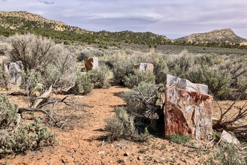
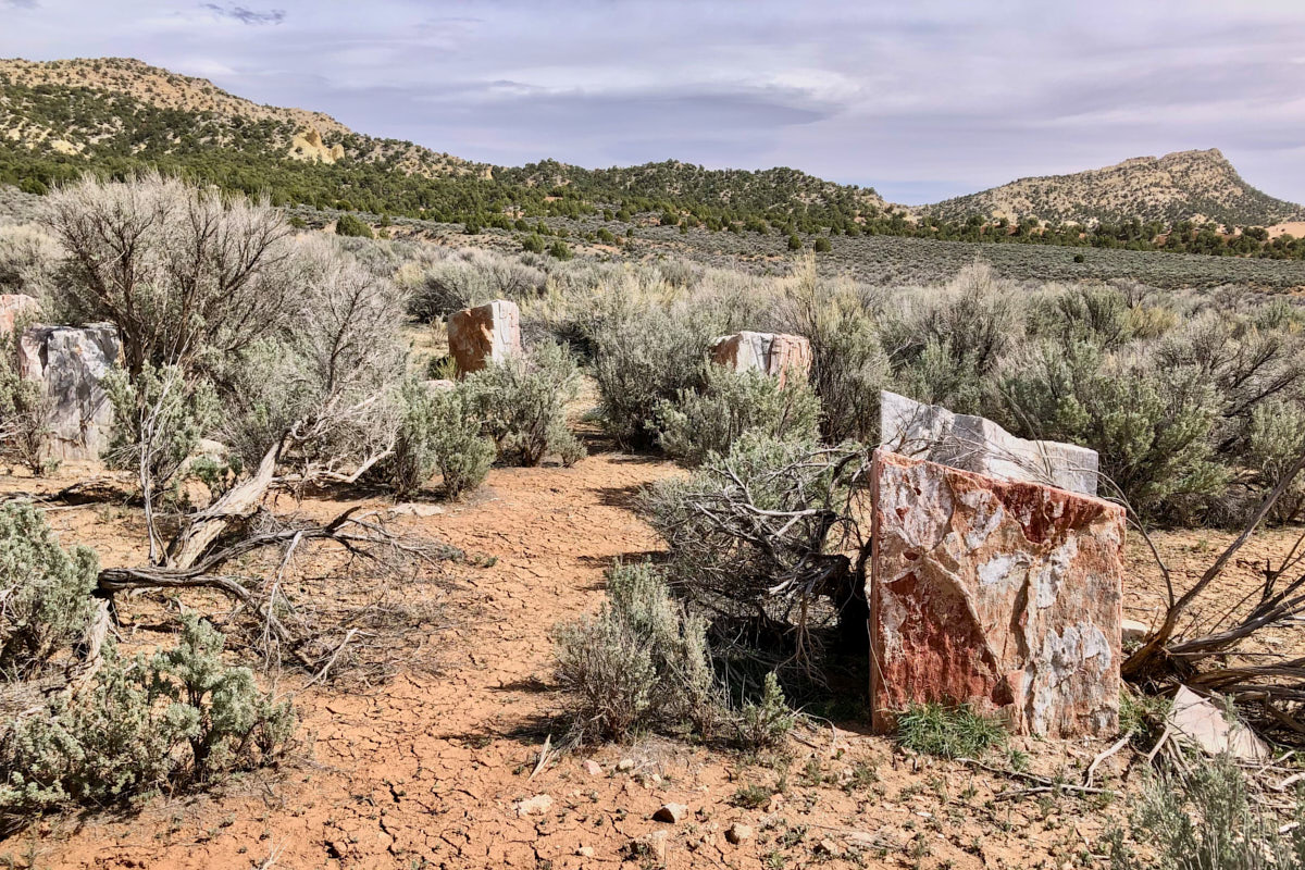
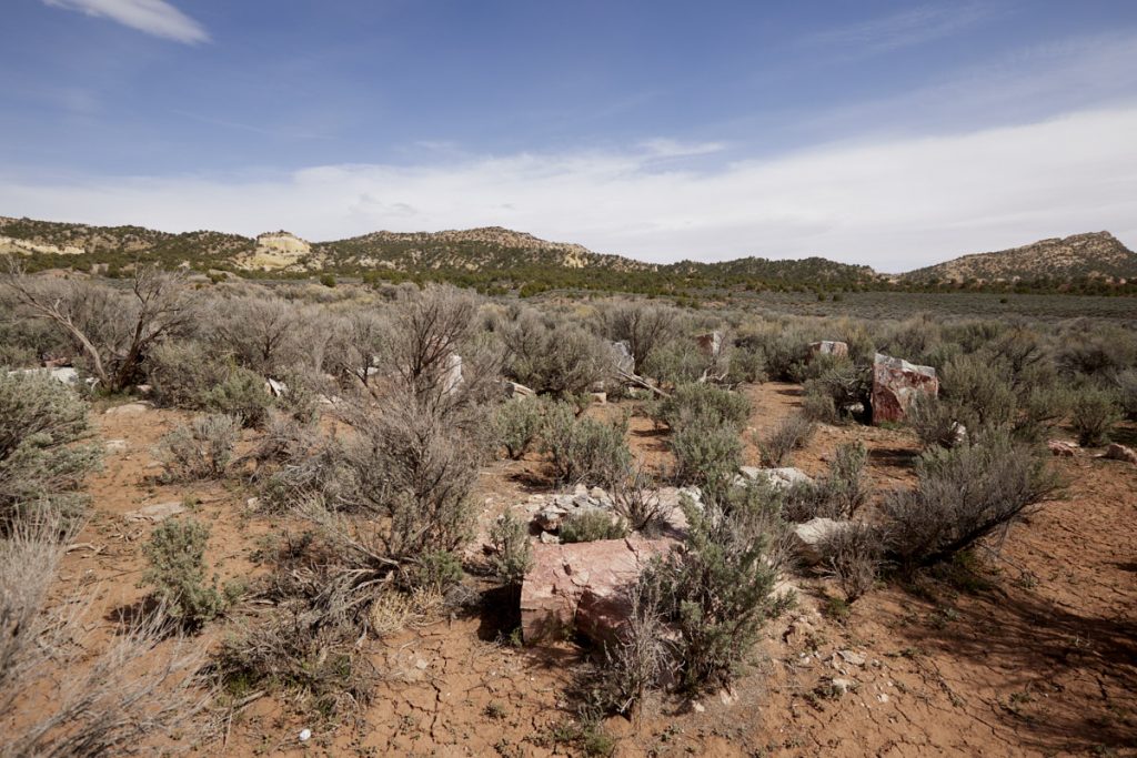
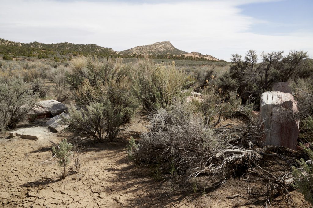
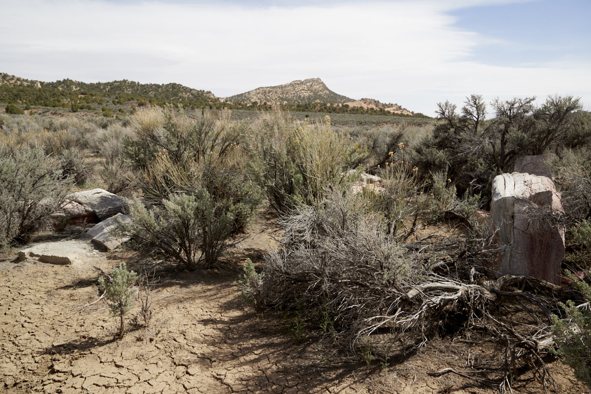
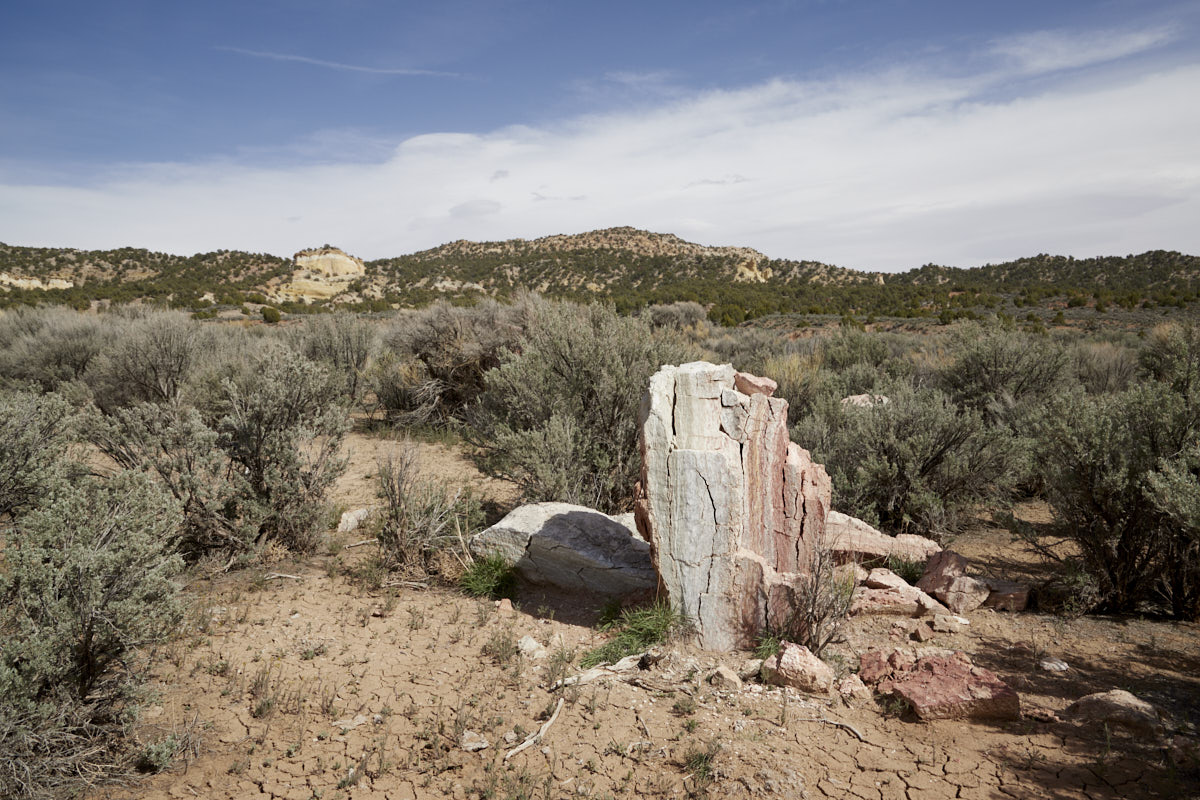
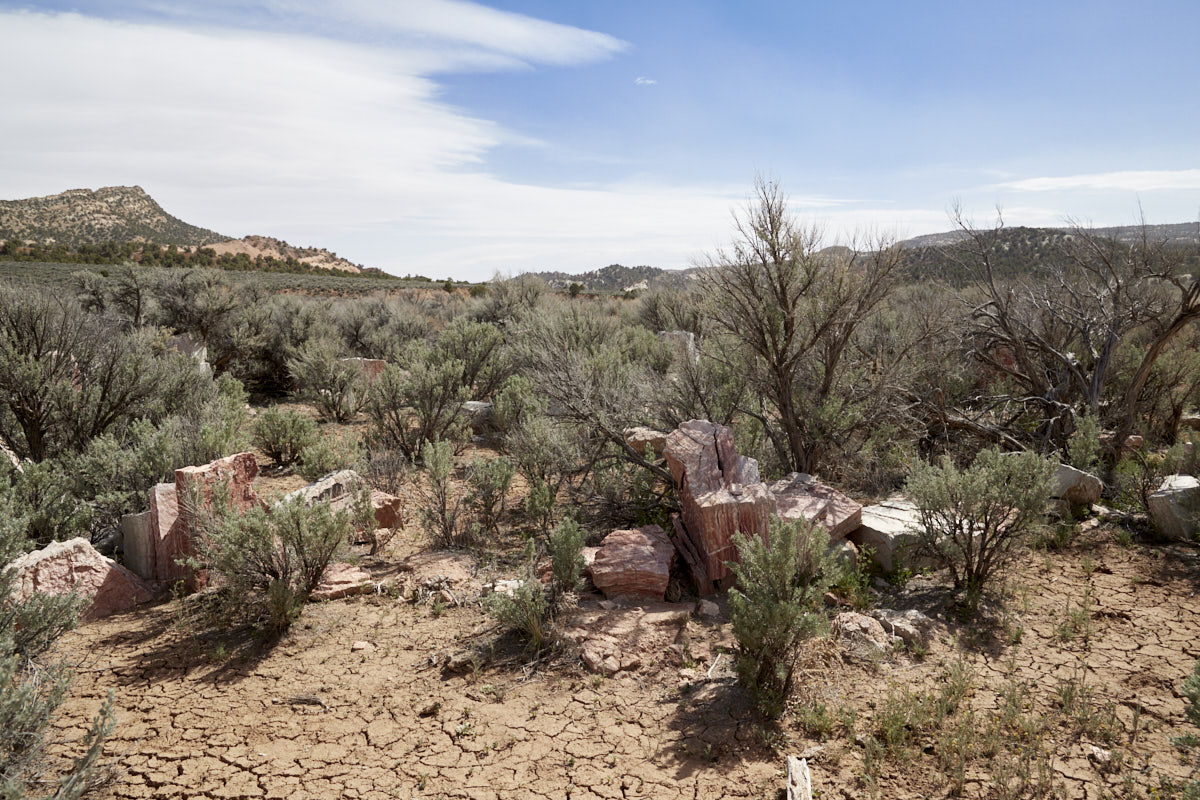
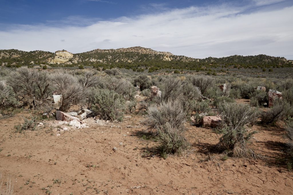
Description: To most people, this is just an overgrown pile of rocks. If you try to find out what these alabaster stones—which seem to be scattered about at random—are all about, you’ll find little to no information. They form two concentric circles of alabaster monoliths. These circles enclose an “altar” featuring a hole for observing the summer solstice. The installation is apparently called Gilgal which means “circle of standing stones.” The word is mentioned in the Bible in Joshua 4:19–5:12, when the Israelites set up 12 stones—presumably in a circle—after crossing the Jordan.
The stone circle, now overgrown, is located on a small side road that branches off from Cottonwood Canyon Road shortly after Grosvenor Arch. Koordinate Abzweig:Latitude: 37.441664; Longitude: -111.847438 Koordinate Steinkreis:Latitude: 37.442157; Longitude: -111.842646
You can drive right up to the stone circle. However, the access road is just a dirt road. During our visit in April 2022, a vehicle with high ground clearance was sufficient.
Our rating: Since many of the stones are broken and some are heavily overgrown, there isn’t much left to see of the two circles. It’s not the most spectacular location, but we like places like this with a history.
☆☆☆☆☆Bewertet mit 3 von 5
Note: On dirt roads, road conditions can change constantly. Therefore, we strongly recommend that everyone check the road conditions before each trip. The most current information is usually available on the BLM website in Escalante. GSENM-Road-Condition-Report


