Our visits: So far 3 visits in November 2009, February 2016, October 2018
Burr Trail
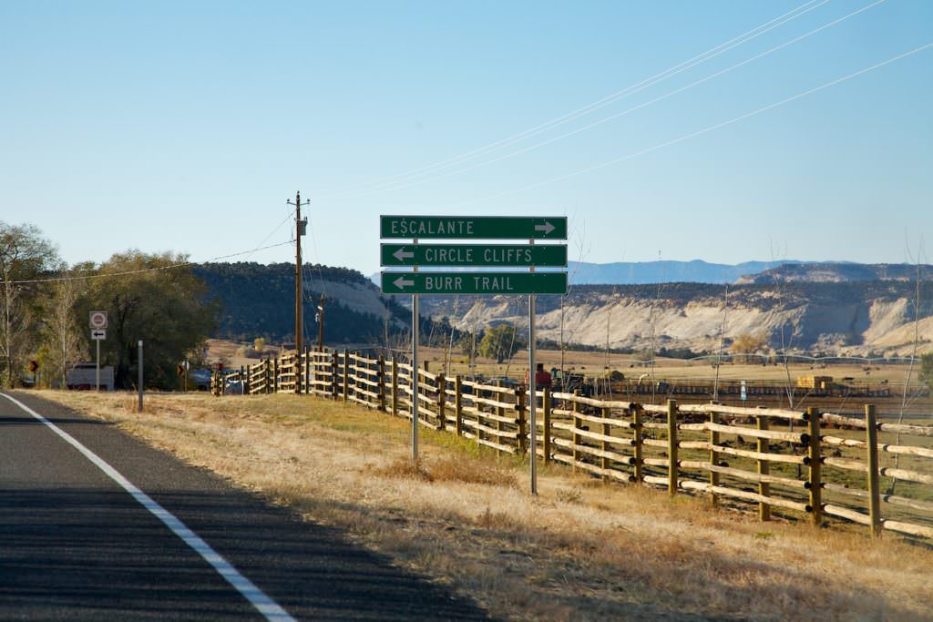
Sign coming from the north at the intersection of Highway 12 and Burr Trail.
Burr Trail
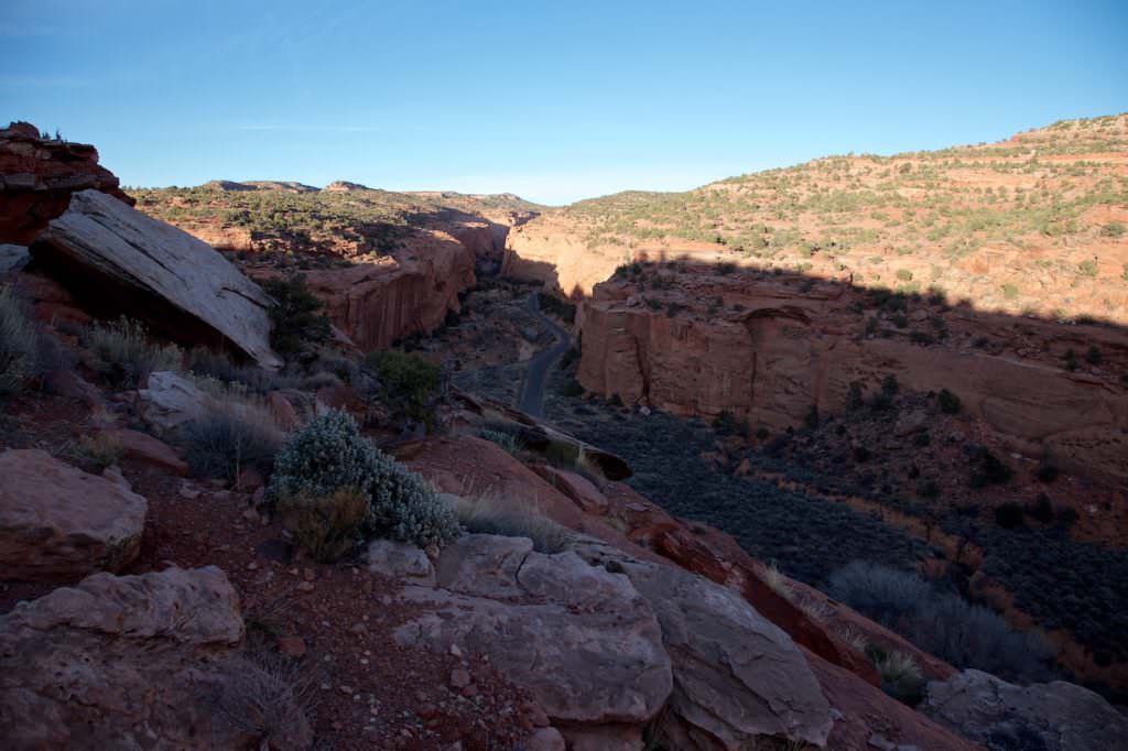
Long Canyon Overlook
Burr Trail
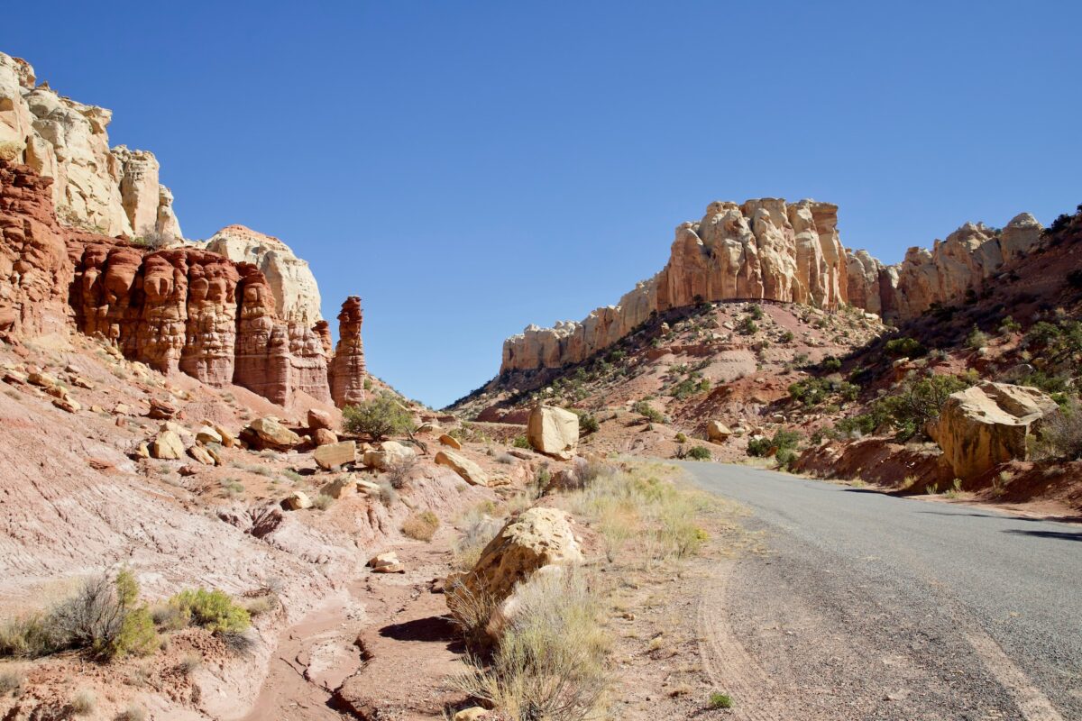
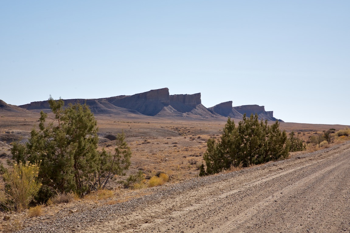
Long Canyon kurz vor dem Long Canyon
Slide Title
Long Canyon
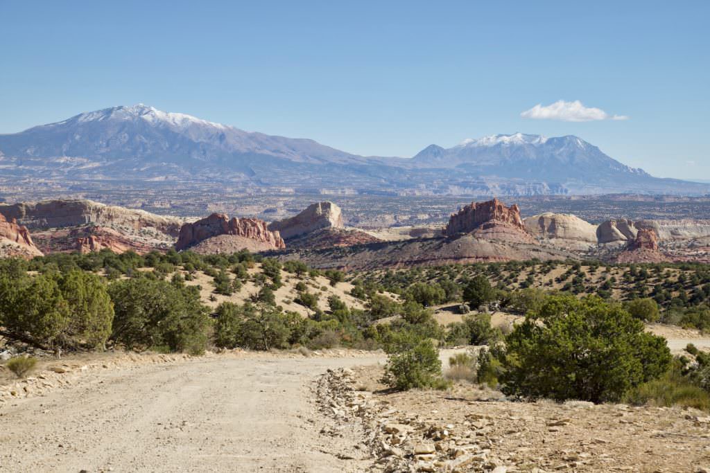
Burr Trail
Long Canyon
Burr Trail
Burr Trail
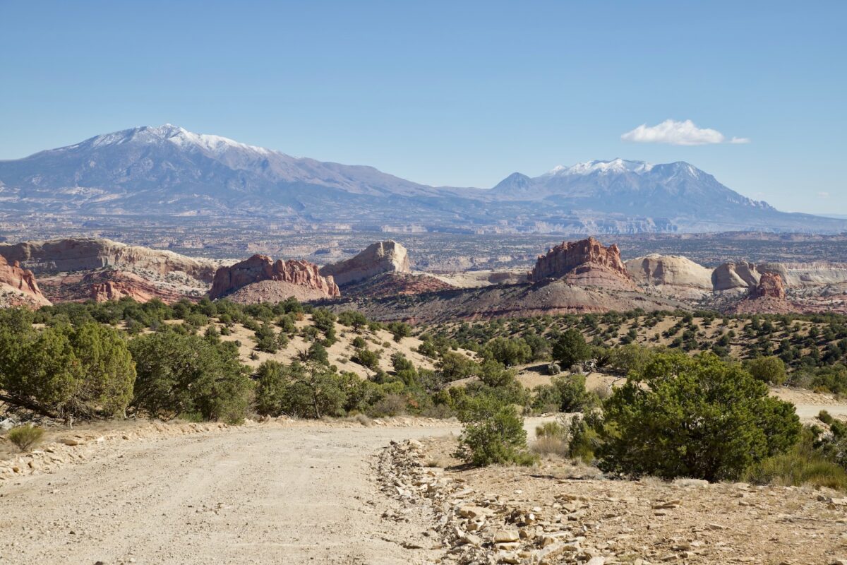
Burr Trail
Burr Trail
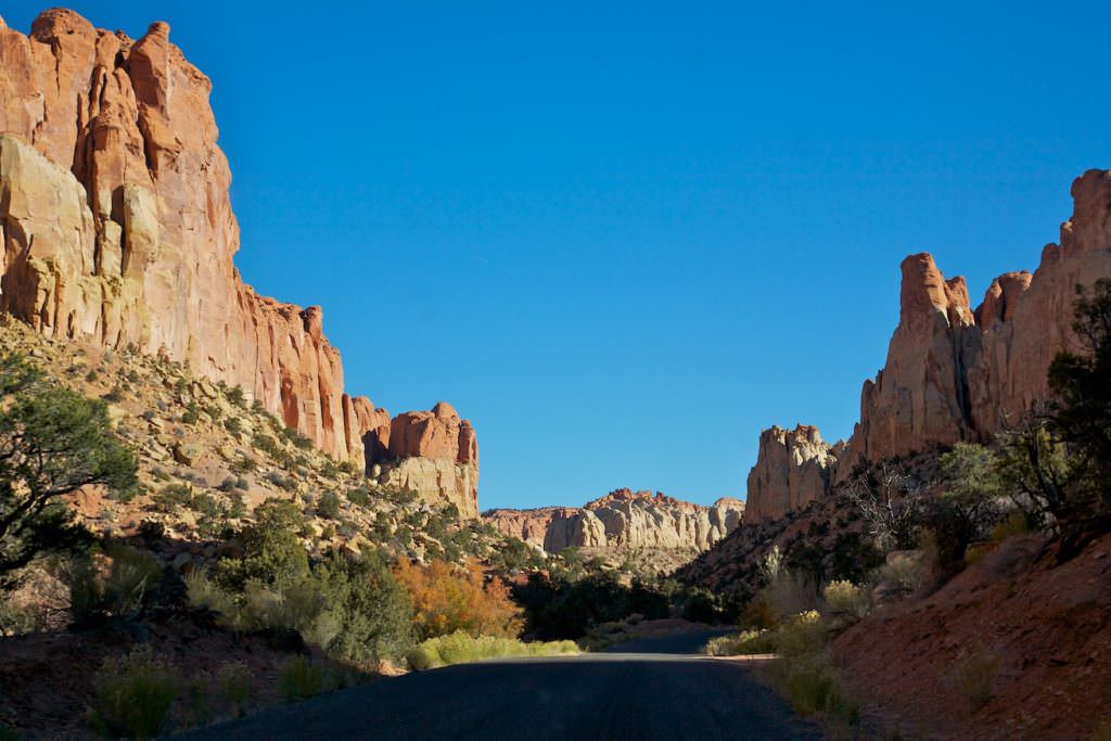
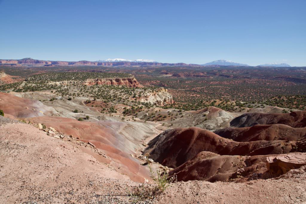
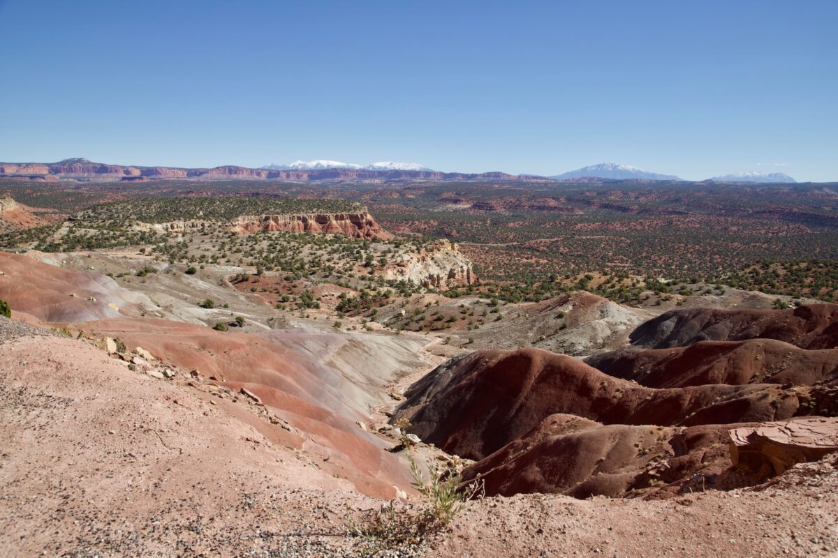
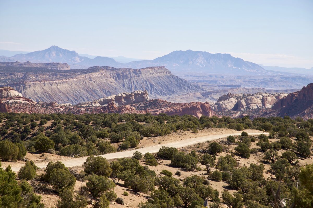
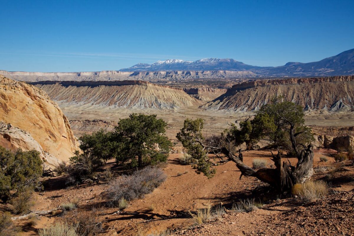
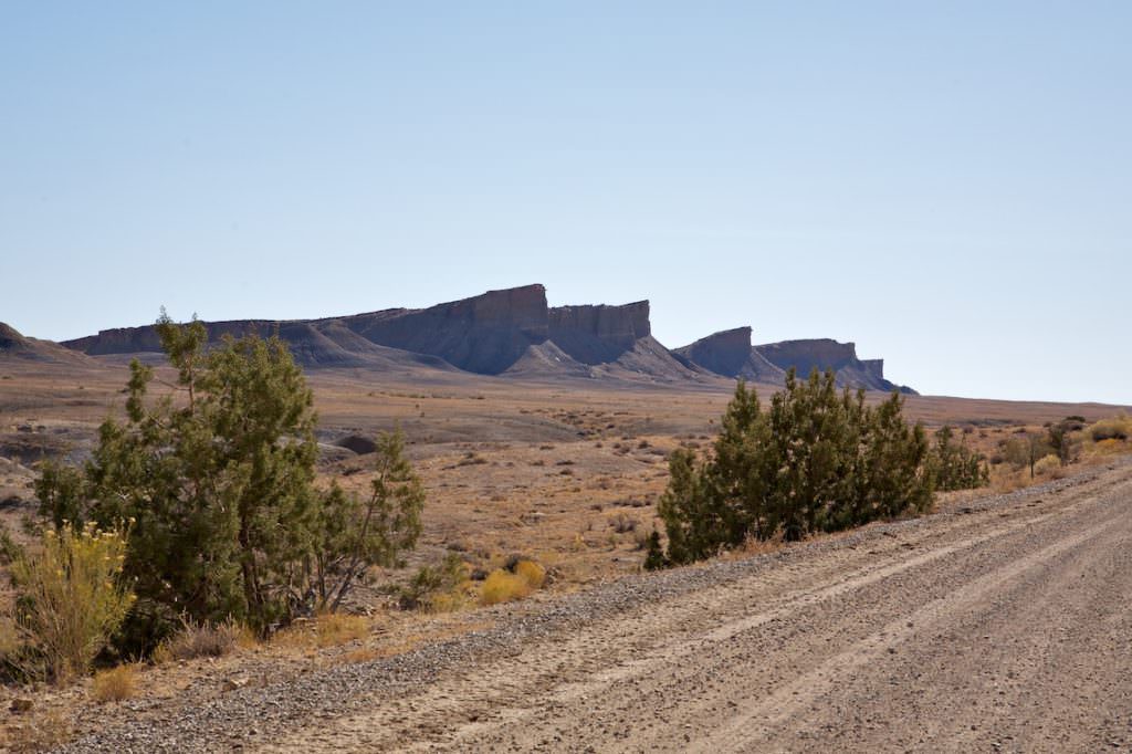
View of the Waterpocket Fold
Burr Trail
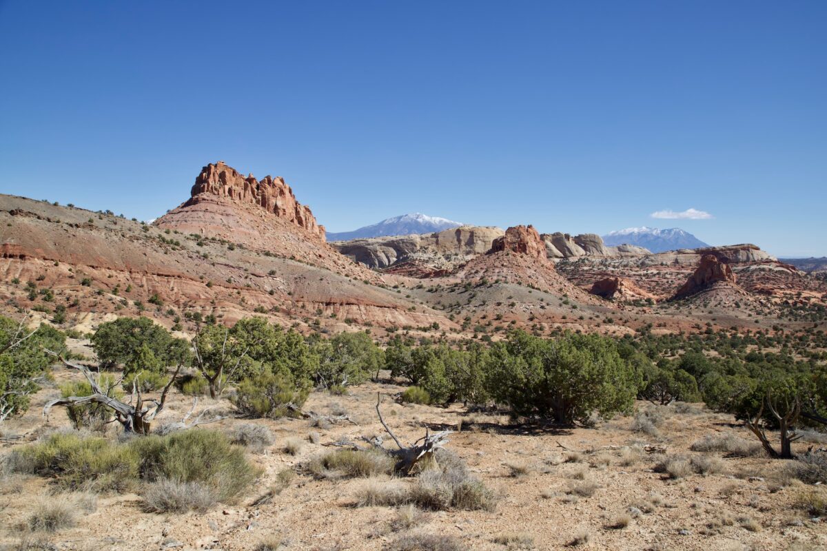
Burr Trail
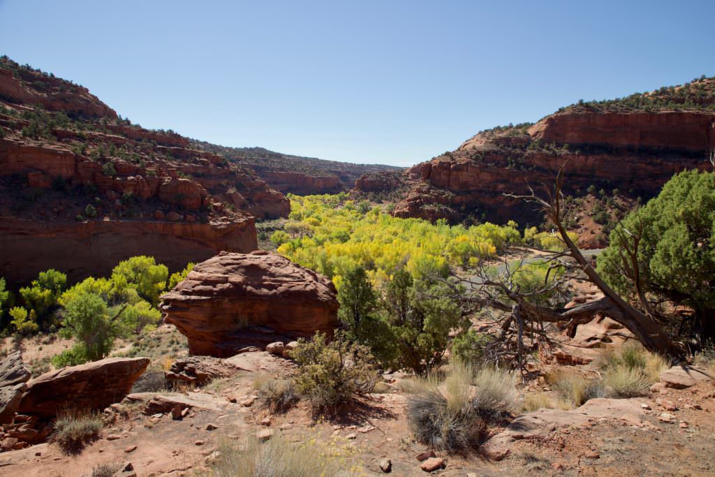
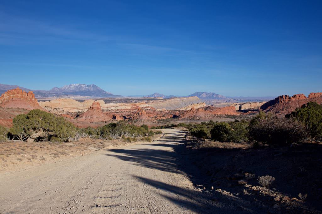
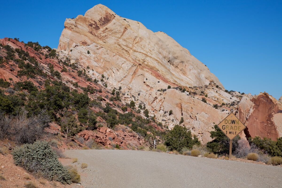
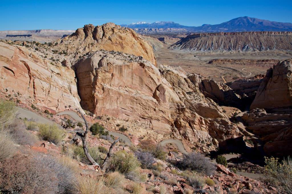
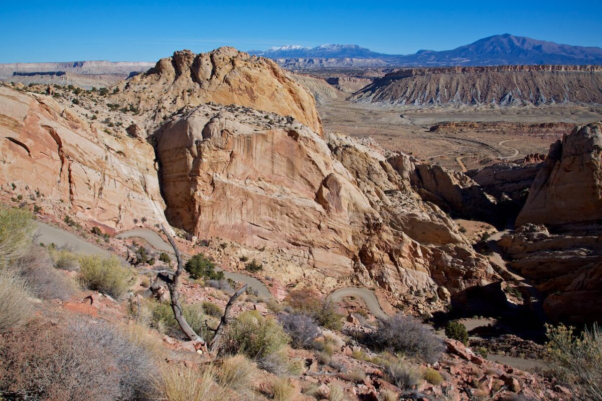
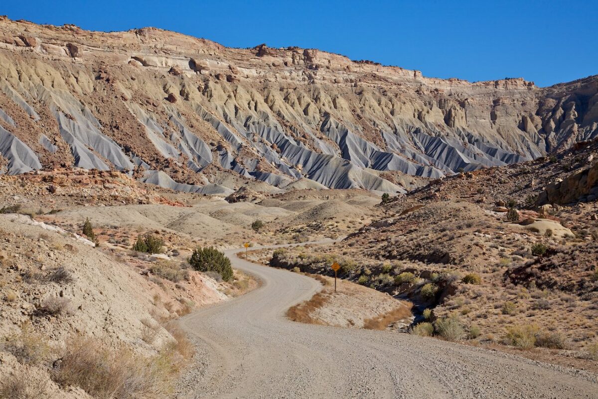
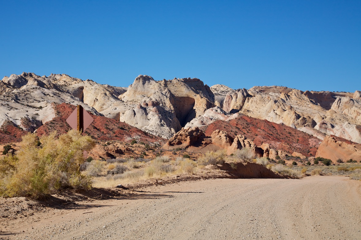
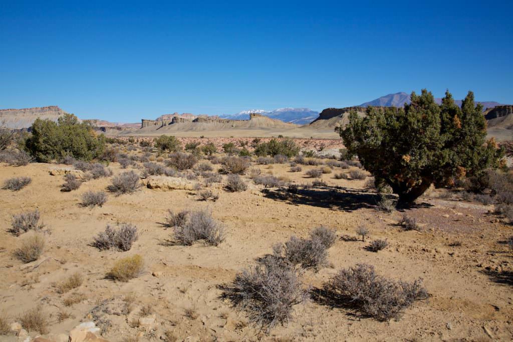
Description: The Burr Trail is a 67.7mi Scenic Backway between Boulder to the west and Bullfrog to the southeast. A mile after leaving Boulder you reach the Grand Stairecase National Monument. The first scenic highlight is the 6.8mi long Long Canyon. Here you drive between huge rock walls hoping that none of the boulders on the left or right will break loose. Shortly thereafter you reach Capitol Reef NP. From here on the Burr Trail is unpaved. The landscape offers again and again great views of canyons, mountains and of course the Waterpocket Fold, an earth fault which pulls here through the national park. After leaving the Burr Trail Switchbacks behind, the dirt road meets the Nottom Bullfrog Rd. The Burr Trail turns right to the south and ends after a total of 109 km in Bullfrog.
Our rating: Scenically a beautiful route. After Long Canyon at the latest, you can stop every few feet to take photos, because the scenery is so breathtaking. In any southwest vacation we could drive along here without ever getting bored. We definitely consider the route more spectacular to look at when driving from Boulder in the direction of Bullfrog.
☆☆☆☆☆Rated 4 out of 5
Note: On dirt roads, road conditions can change constantly. Therefore, we strongly recommend that everyone check the road conditions before each trip. The most current information is usually available on the BLM website in Escalante. GSENM-Road-Condition-Report
Burr Trail
Burr Trail
Burr Trail
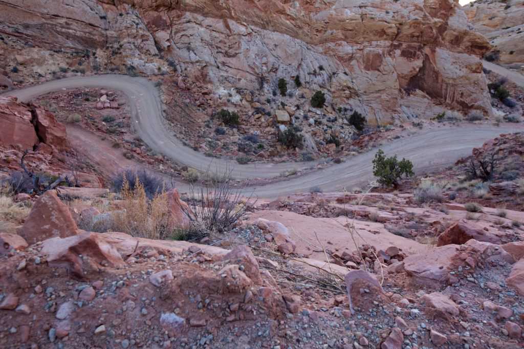
Burr Trail Switchbacks
Burr Trail
Burr Trail Switchbacks
Burr Trail
Burr Trail south, after intersection with Nottom Bullfrog Rd.
Burr Trail
Burr Trail
Burr Trail
Burr Trail
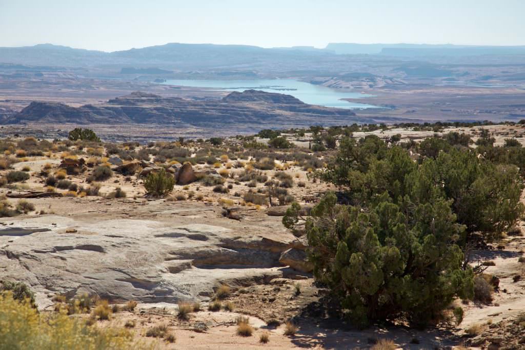
Shortly before Bullfrog you reach the Glen Canyon National Recreation Area. In 2009 you could still see the beginnings of Lake Powell.
Burr Trail
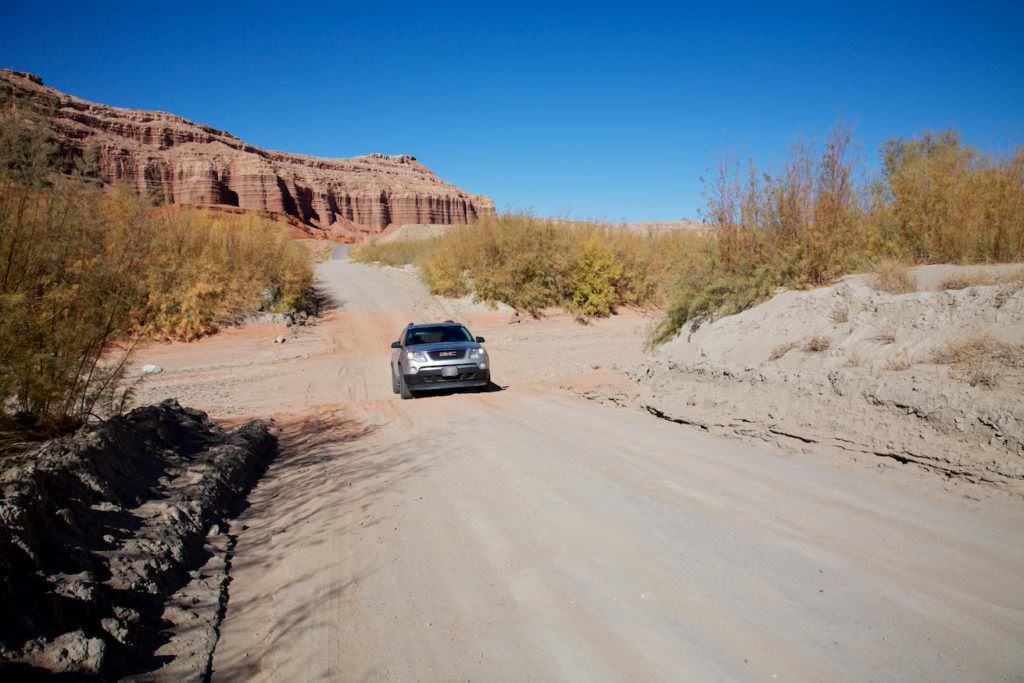
One of the washes you have to cross on the way to Bullfrog. After heavy rains, these washes can become impassable.


