Located on the Utah-Colorado border, Dinosaur NM protects a portion of the Rocky Mountains at the confluence of the Green and Yampa Rivers and one of the most significant dinosaur bone sites on earth. The park consists of four parts - Gates of Lodore (Colorado) to the north, Island Park and Fossil Bone Quarry (Utah) in the west and Canyon Area (Utah/Colorado) to the south.
Visitor number 2000
0
Visitor number 2010
0
Number of visitors
Best time to visit:Between May and November Our visits: So far 2 visits: October 2012 and May 2023
Open 24h all year round. In winter some streets are closed.
*The America the Beatiful pass is so to speak the "flat rate" for all Parks managed by the National Park Service. The pass costs a one-time fee of $250 and can be purchased at the entrance to each National Park, National Monument, etc. The pass is valid for 13 months.
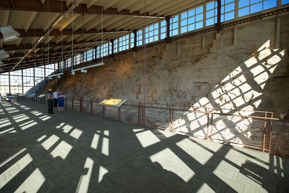
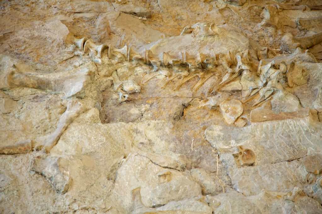
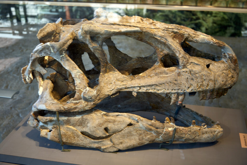
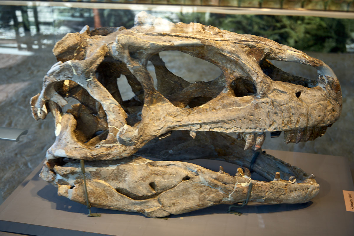
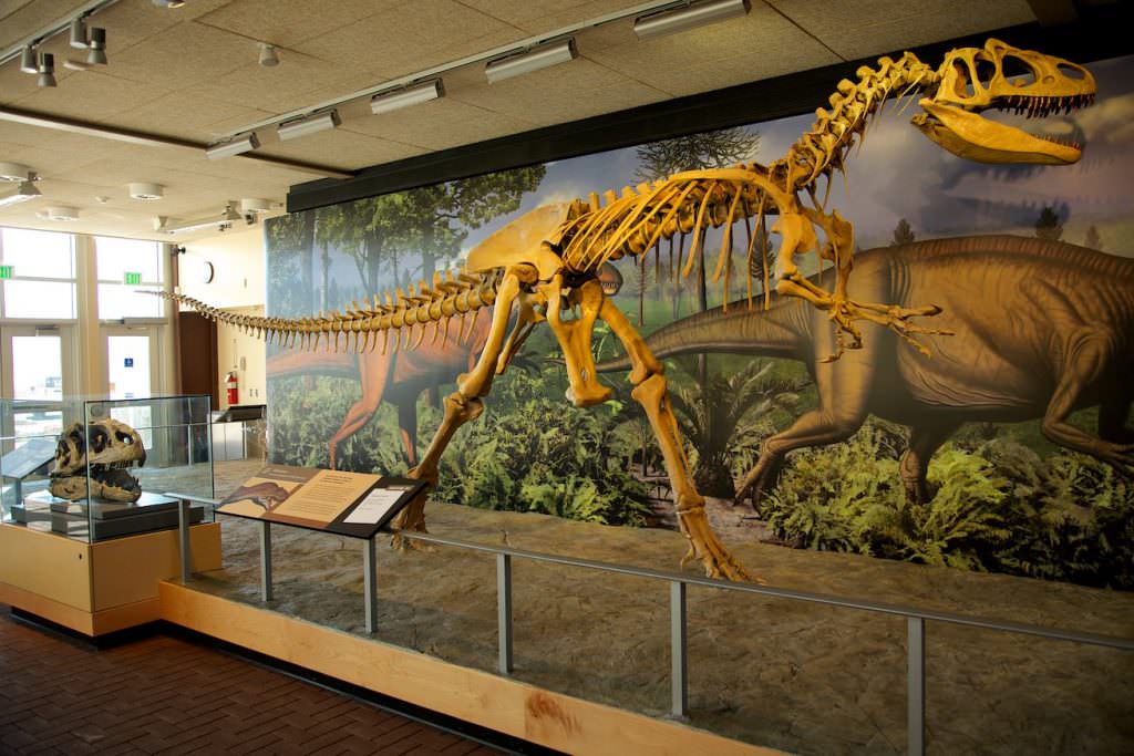
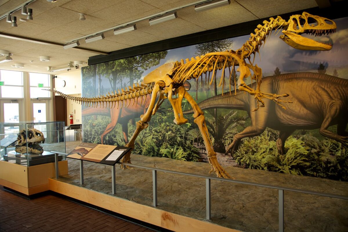
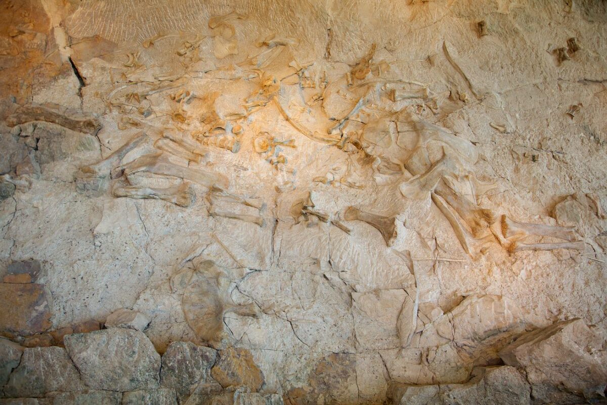
Description: In 1909, paleontologist Earl Douglass discovered countless skeletons of dinosaur bones at this site. Therefore, the area around the site was placed under protection in 1915. Later, in 1938, the Green and Yampas River canyons were also included in the National Monument. Not all of the bones have been excavated. Some are still in the sediment and can be viewed by many visitors. A hall was built over the mountain to protect the bones. This way the conditions can be controlled and the bones can be preserved.
Between late May and mid-September, during the peak season, it is not possible to drive to the hall. During this time, shuttle buses run every 15 minutes between the Visitor Center and the hall. The hall is open daily from 8 am to 5:30 pm.
Our rating:Despite great weather, there were not a lot of people in the park during our visit in October 2012. We were able to drive to the hall ourselves. The exhibition was very interesting and we learned a lot about dinosaurs. There was a ranger on site and answered all our questions. This is definitely a place to visit.
☆☆☆☆☆Rated 3.5 out of 5
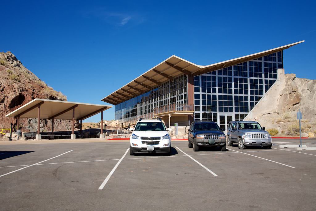
Quarry Exhibit Hall
Quarry Exhibit Hall
Quarry Exhibit Hall
Quarry Exhibit Hall
Quarry Exhibit Hall
Quarry Exhibit Hall
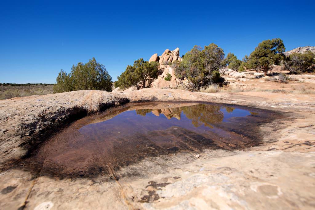
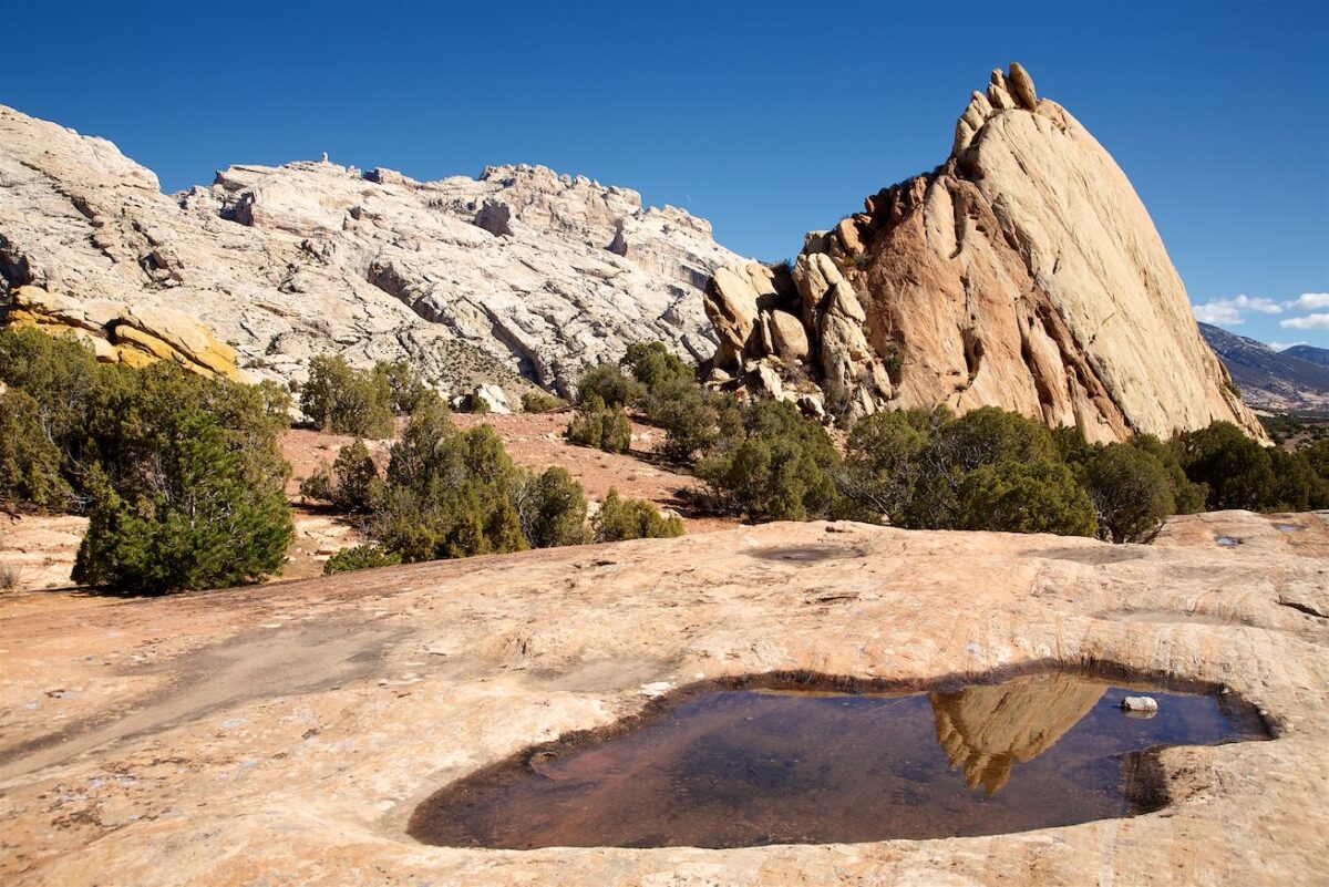
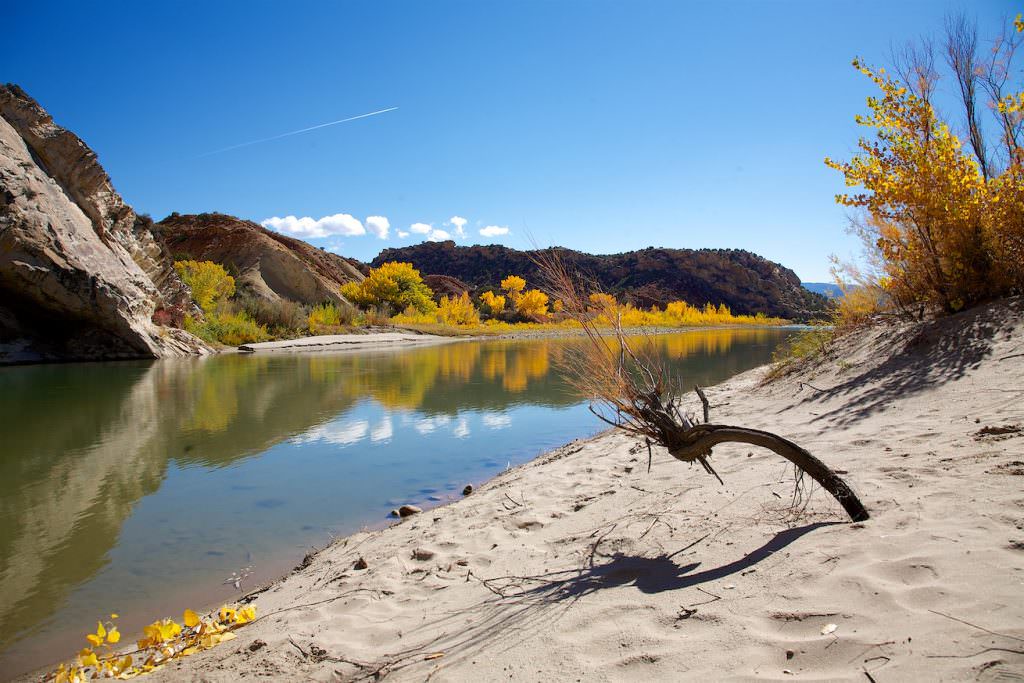
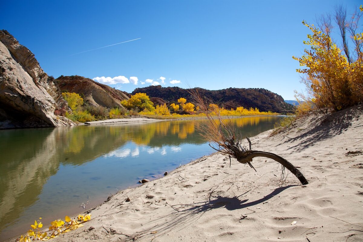
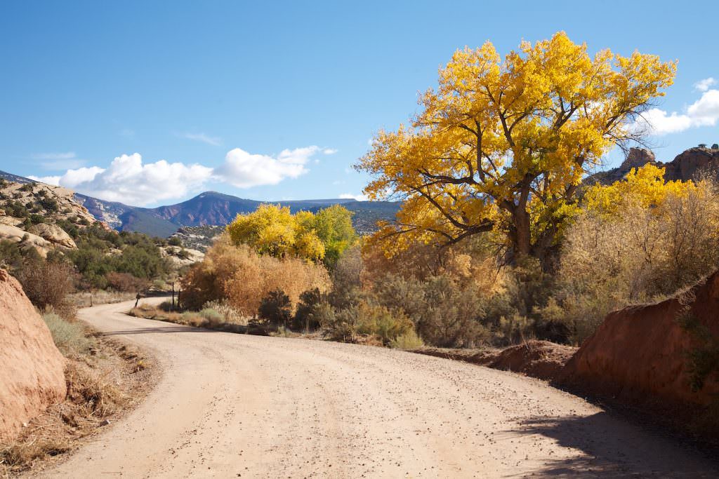
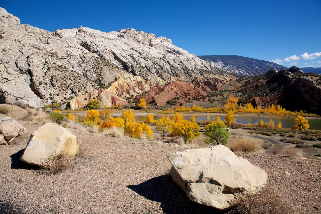
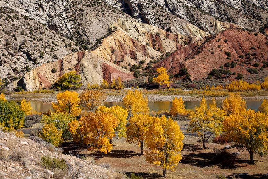
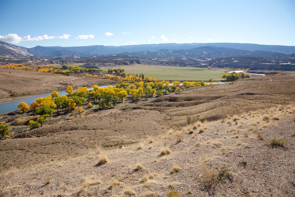
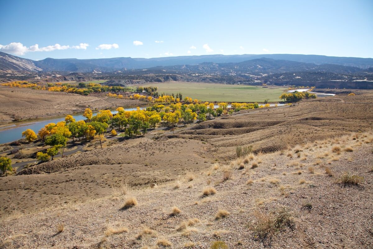
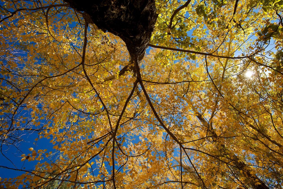
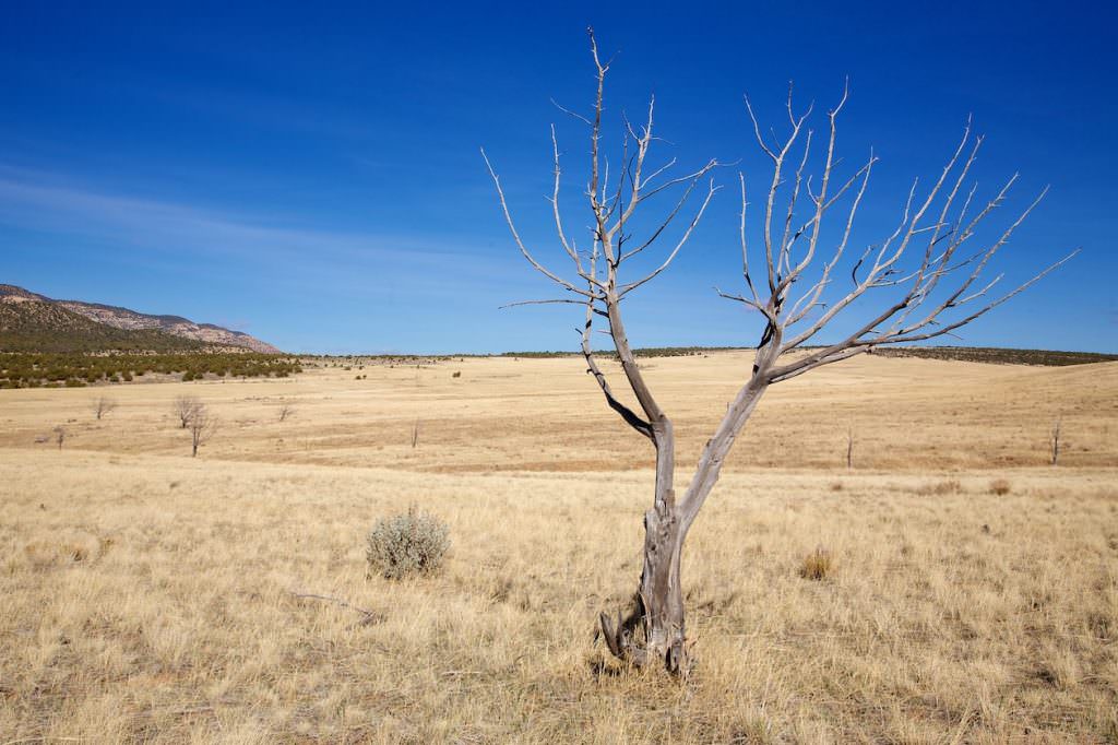
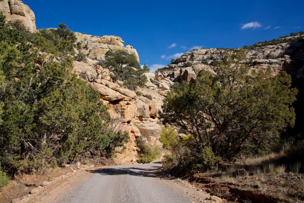
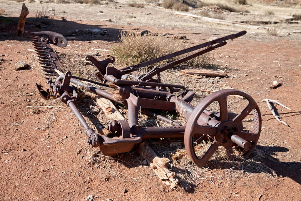
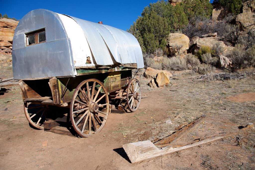
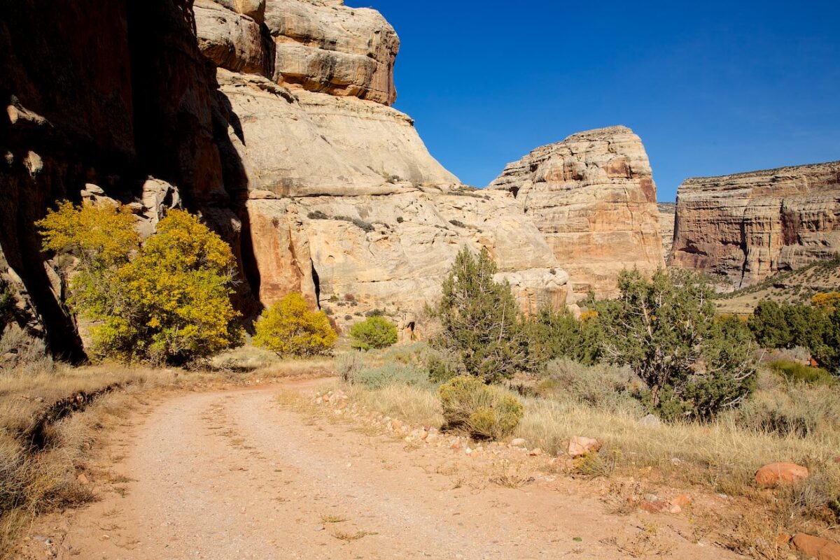
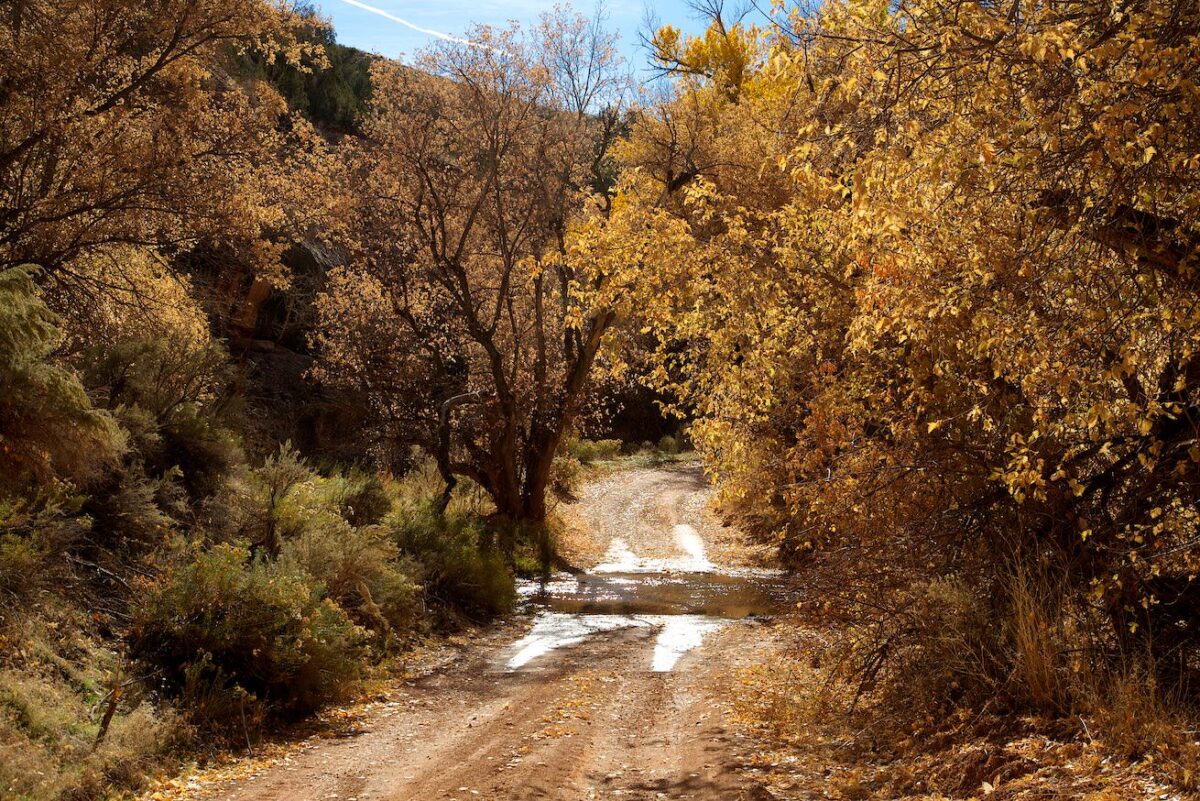
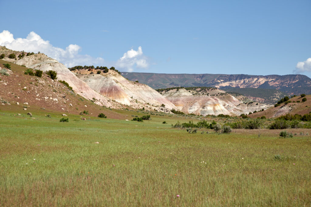
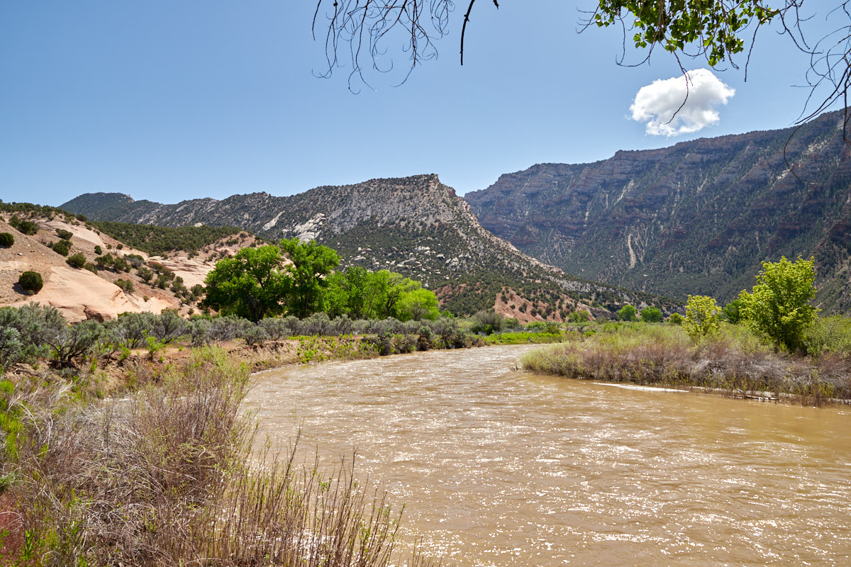
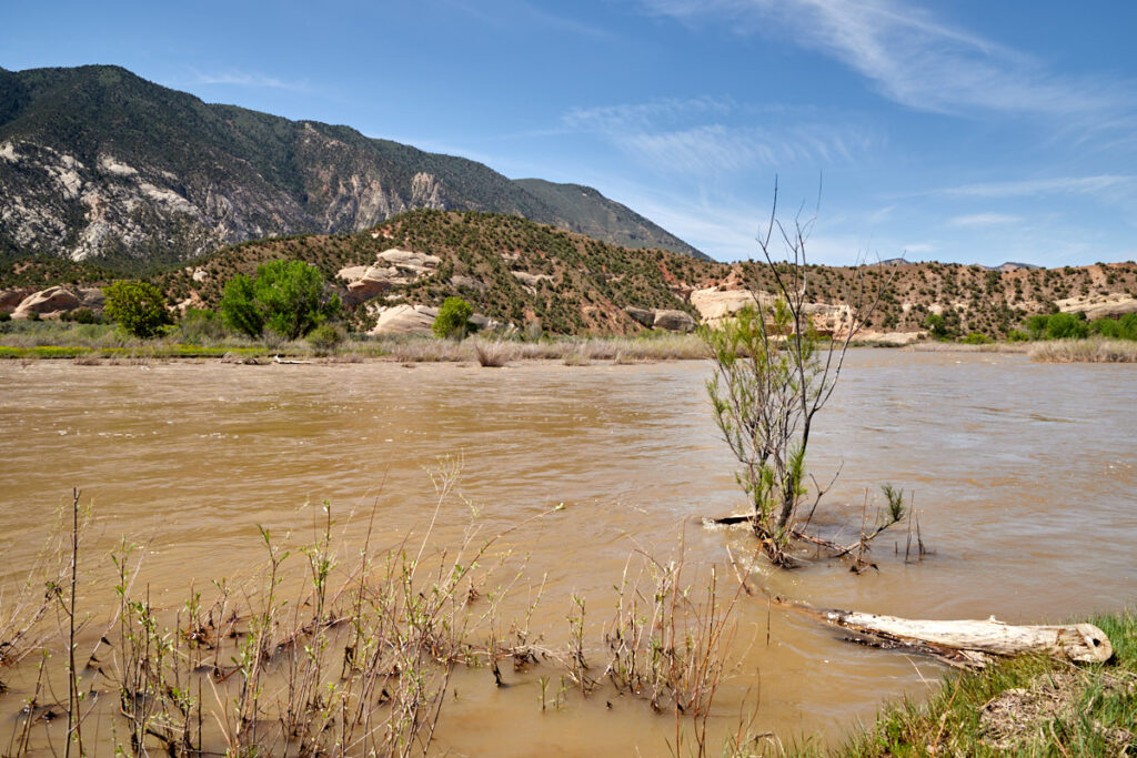
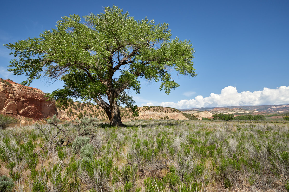
Cub Creek Road
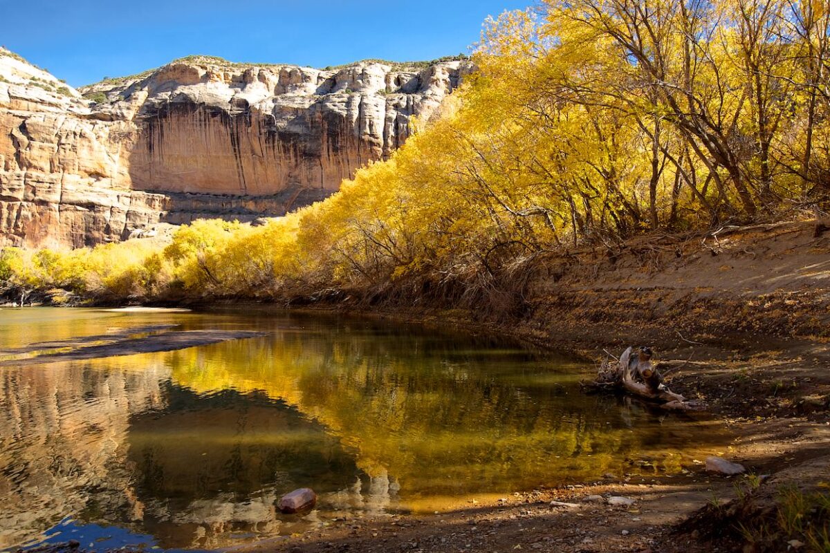
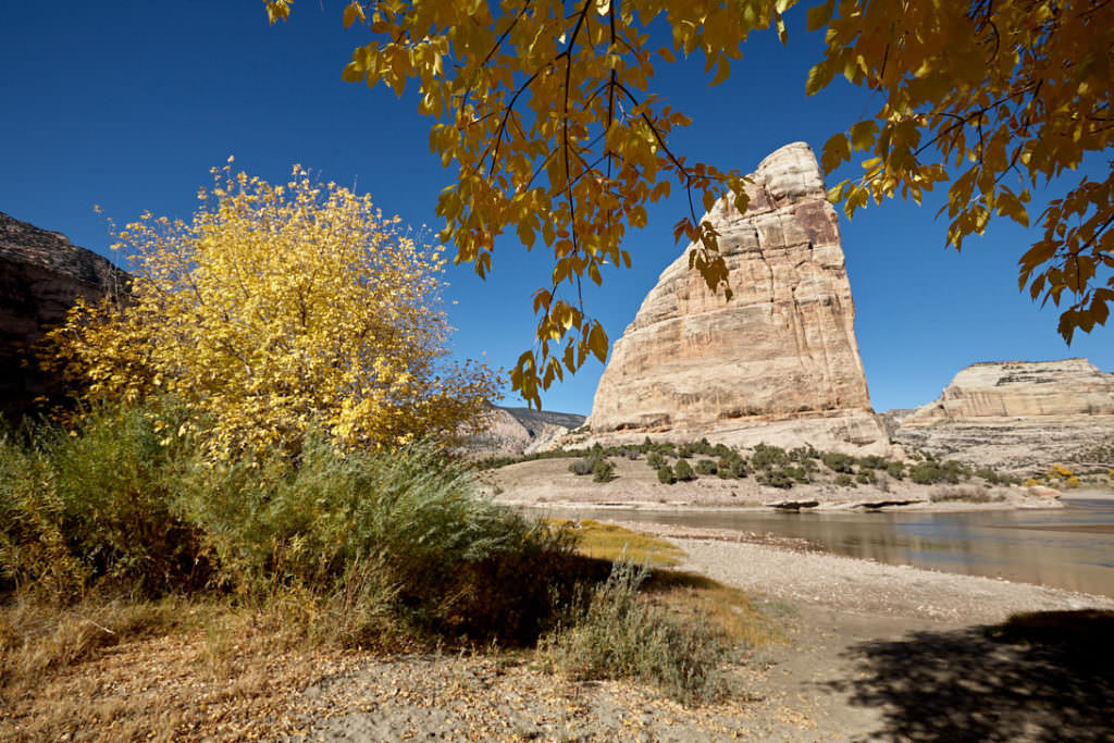
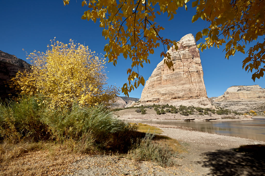
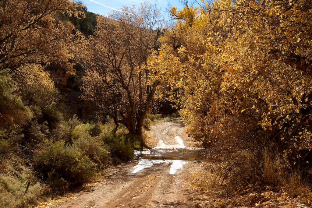
Description: Cub Creek Road is the park road in the Fossil Bone Quarry portion of Dinosaur NM. It passes all the points of interest in this part of the park and offers great views of interesting rock formations and colorful trees.
Our rating:We were lucky in mid-October 2012, because the Fall Foliage was in full swing and the Cottonwood trees at the Green River were great colored and glowing in the sun. Of course, we can hardly judge whether we would have liked it so much in another season, but the splashes of color enhanced the whole landscape considerably.
☆☆☆☆☆Rated 3.5 out of 5
Cub Creek Road
Cub Creek Road
Cub Creek Road
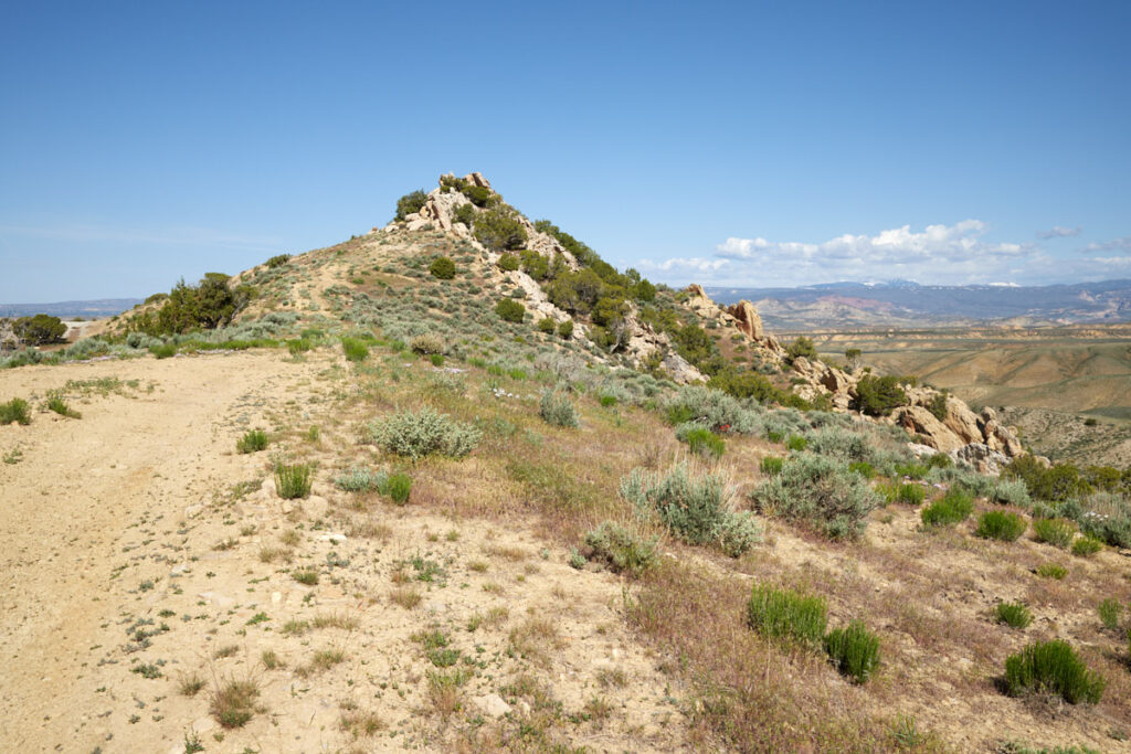
Split Mountain
Cub Creek Road
The road to Josie Morris Cabin
Cub Creek Road
Sweater Shelter Petroglyphes
Cub Creek Road
Split Mountain
Cub Creek Road
Split Mountain
Cub Creek Road
Green River Overlook
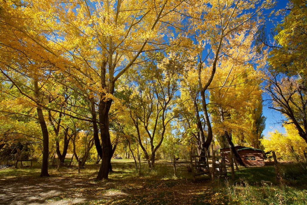
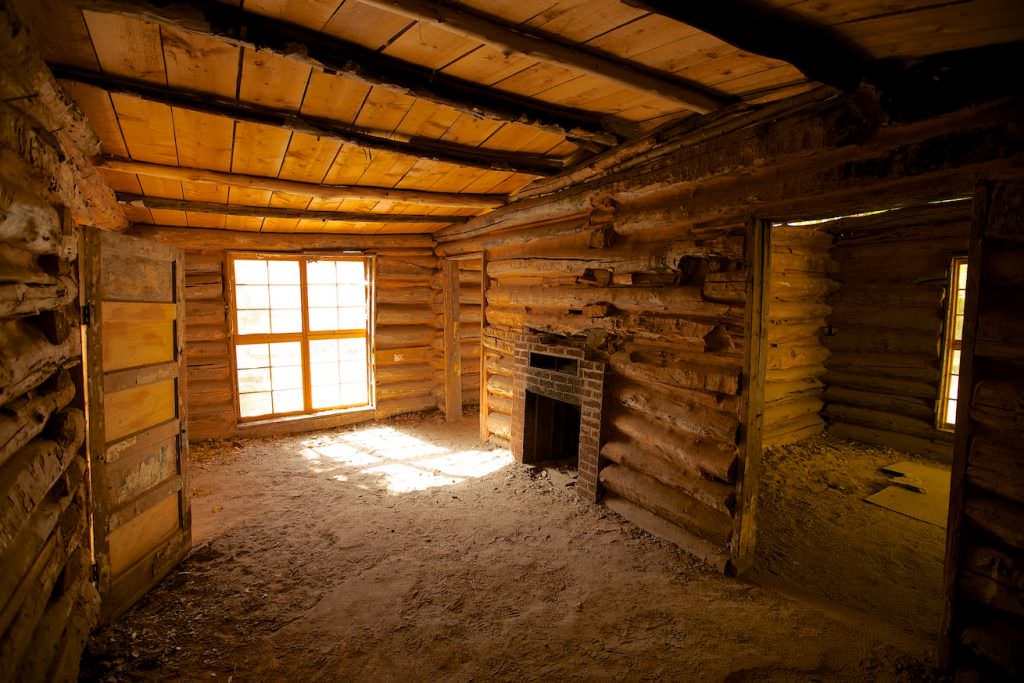
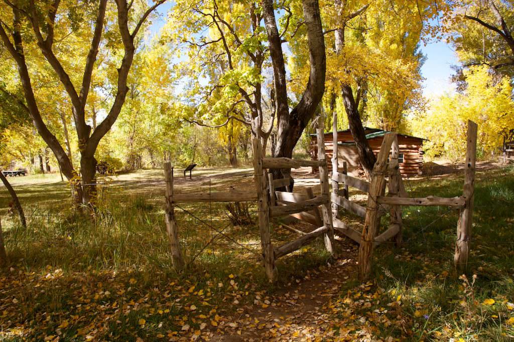
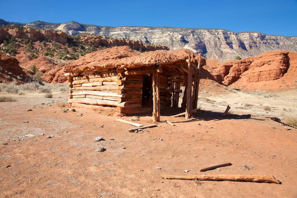
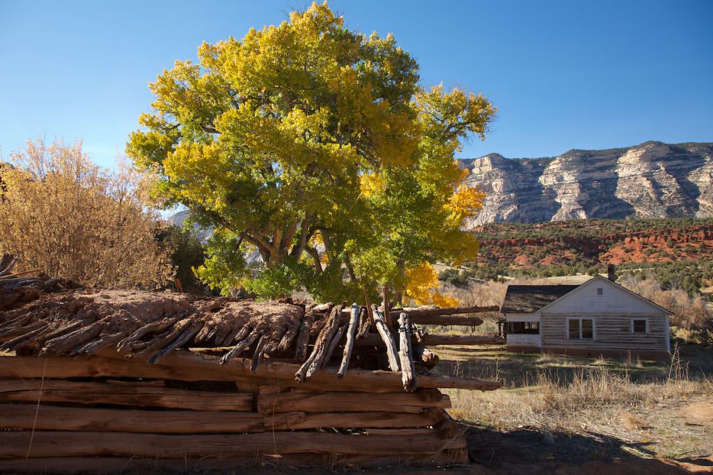
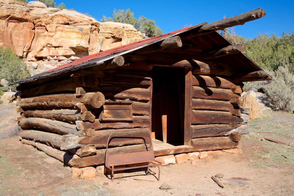
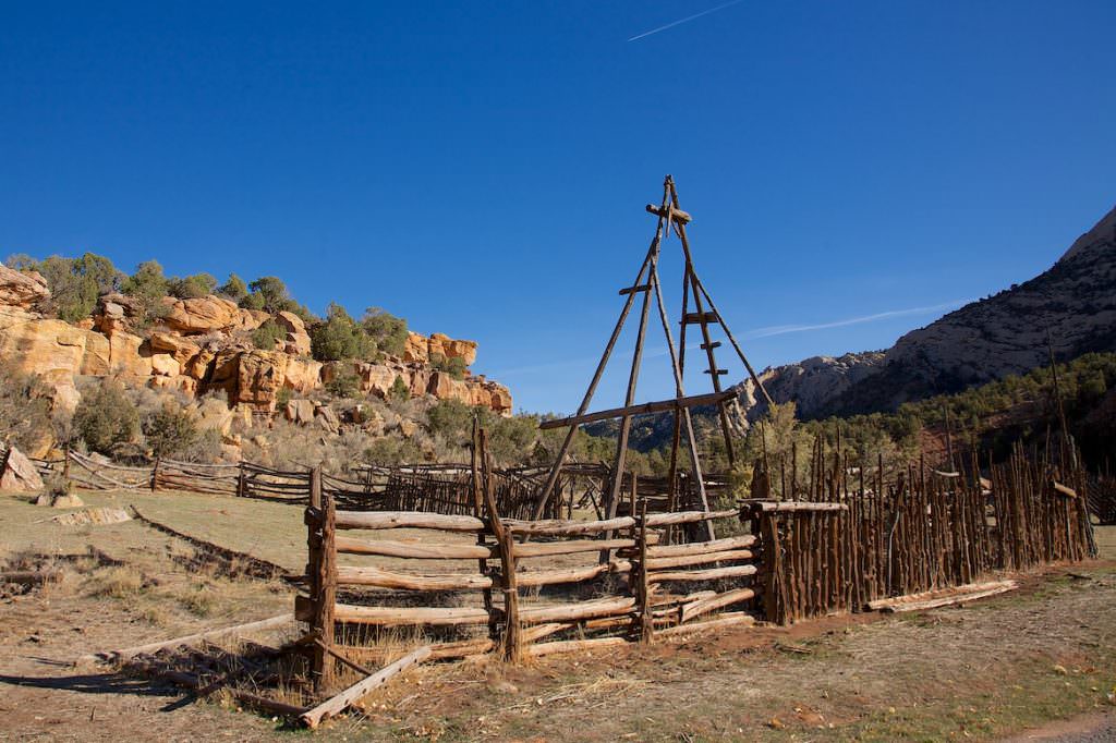
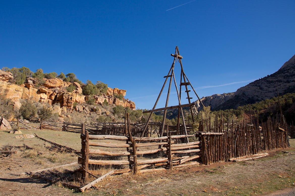
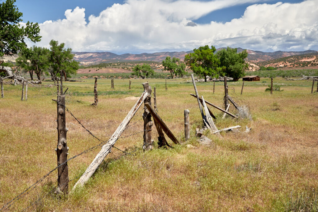
Josie Morris Cabin
Description: In 1914, Josie Morris and her first husband established a small ranch here on Cub Creek. Josie was a very colorful personality who was married a total of 5 times and divorced 4 times. She lived here for a total of 50 years and only had to leave the ranch when she broke her hip after a fall in 1963.
Our rating: I loved the place so much, I could have moved right in. Probably the great colored trees also contributed to this, but this place just had something special and radiated something totally homey. Objectively, it's a wooden cabin at the end of a canyon, but we loved it here.
☆☆☆☆☆Rated 4 out of 5
Josie Morris Cabin
Josie Morris Cabin
Josie Morris Cabin
Josie Morris Cabin
Josie Morris Cabin
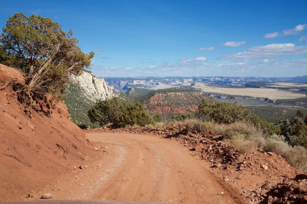
Canyon Area
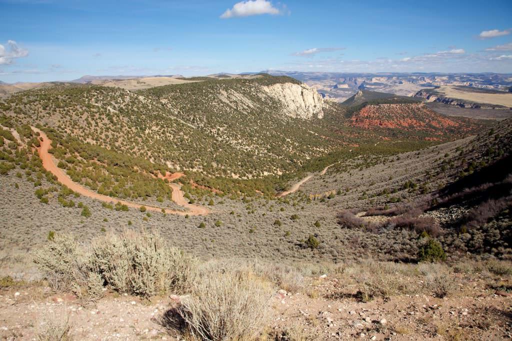
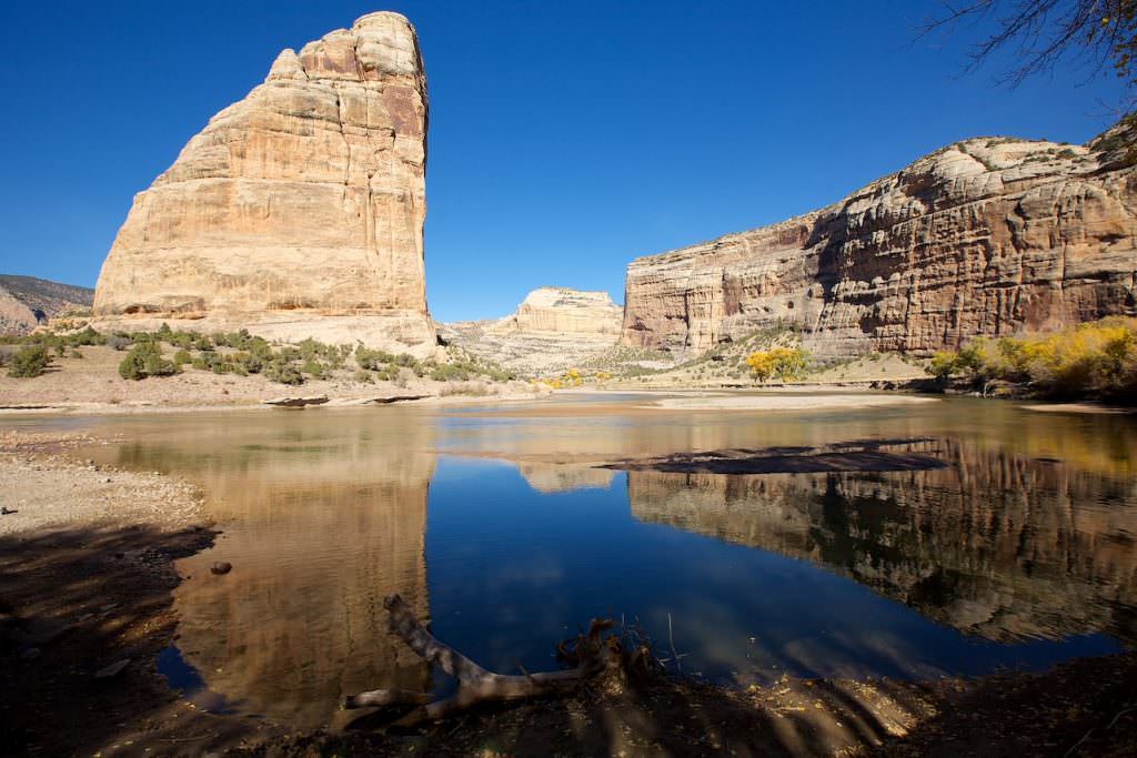
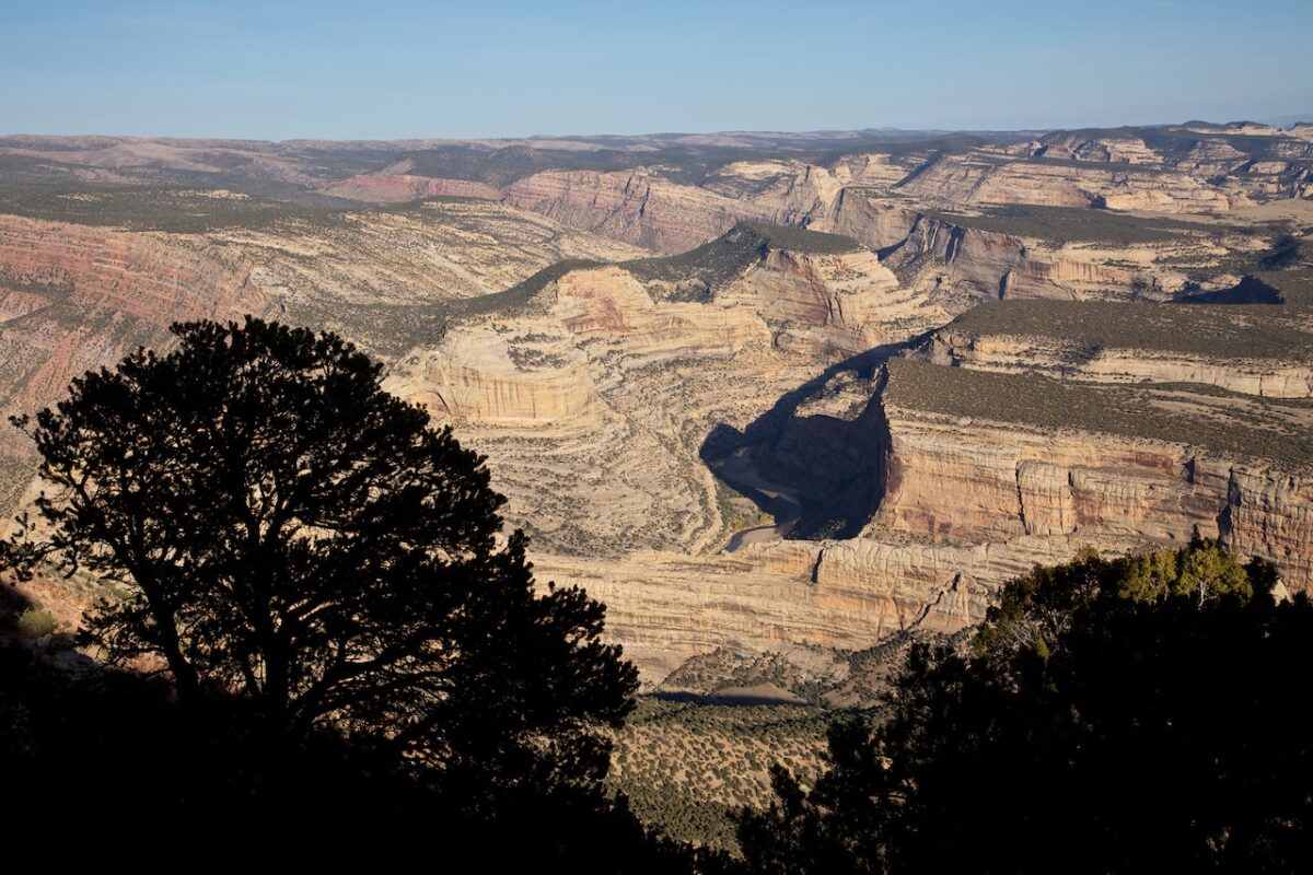
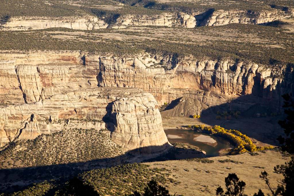
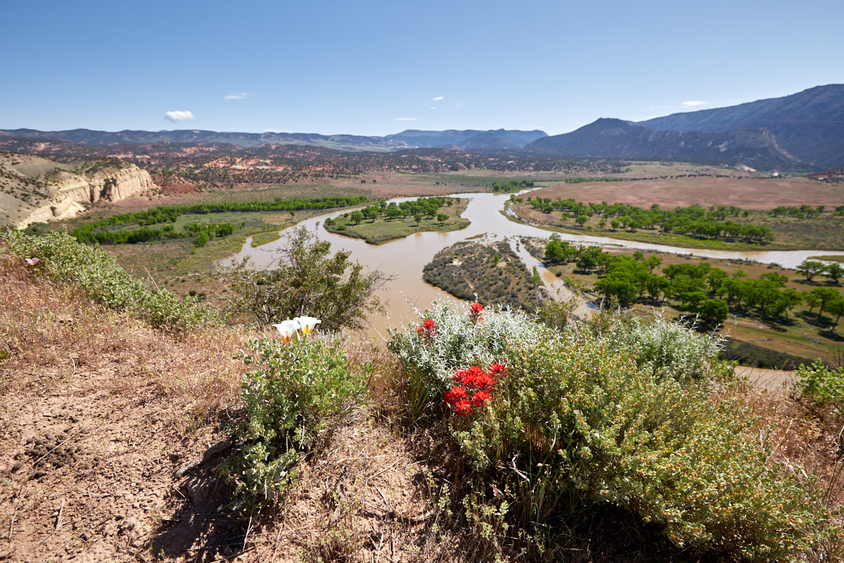
Echo Park
Description: After 25mi on Harpers Corner Road, turn right onto the dirt road toward Echo Park. The next 13mi to Steamboat Rock are unpaved, and the road is only passable in good weather. High ground clearance is always an advantage here. In addition to stunning scenery, Echo Park offers petroglyphs and a glimpse into the early settlement history of this area. Once you reach Steamboat Rock, you’ll have a wonderful view of the Green River, which winds around the rock in a wide arc.
Our rating:We really enjoyed the drive down Echo Park. The great highlights were also garnished with wonderful yellow colored trees. If the weather is suitable, we highly recommend a trip to Echo Park. We were in Echo Park in the early afternoon and found the time of day quite good for photos.
☆☆☆☆☆Rated 4 out of 5
Echo Park
Echo Park
Echo Park
Echo Park
Echo Park
Echo Park
Echo Park
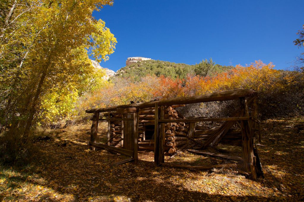
Chow Ranch
Echo Park
Chow Ranch
Echo Park
Chow Ranch
Echo Park
Chow Ranch
Echo Park
Echo Park
Steamboat Rock
Echo Park
Echo Park
Echo Park
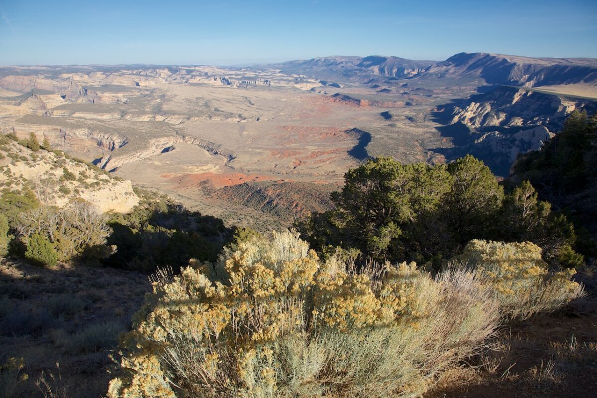
Island Park Overlook
Description: Beautiful viewpoint onto the meanders of the Green River.
Our rating:Wonderful view of canyons and drop-offs in the most various colors. If we had not still had a small hike planned, we could have stayed here even longer to simply look at the landscape.
☆☆☆☆☆Rated 3 out of 5
Island Park Overlook
Island Park Overlook
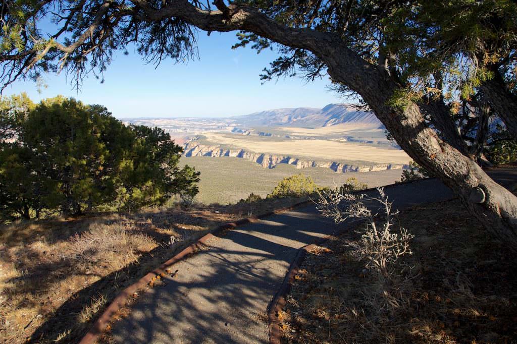
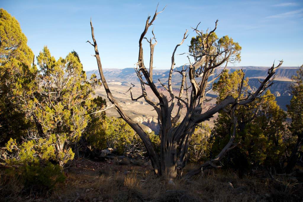
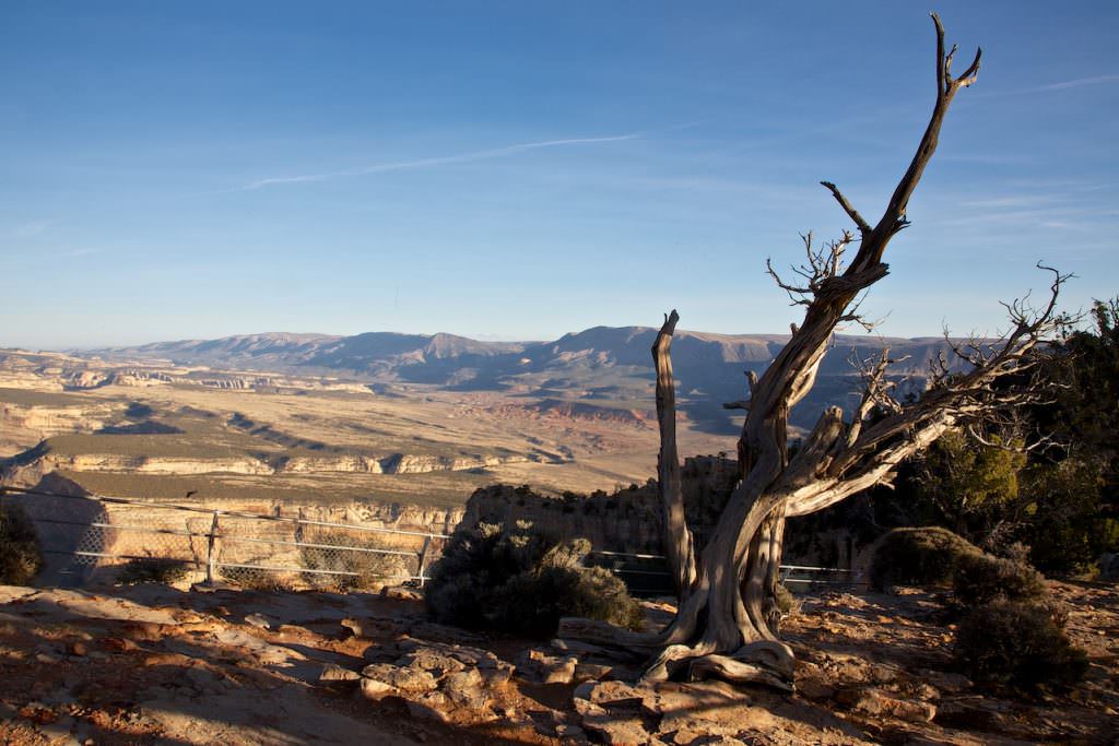
Harpers Corner
Description: A great rim hike at the very end of the park road. You basically hike on a wide grade and get great views to the left and right.
Our rating:Unfortunately, the day was already very advanced during our hike, so the shadows were already very long. Nevertheless, we liked the hike, simply because there were beautiful views into the canyons and plains on the left and right.
☆☆☆☆☆Rated 3.5 out of 5
Harpers Corner
Harpers Corner
Harpers Corner
Harpers Corner
Harpers Corner
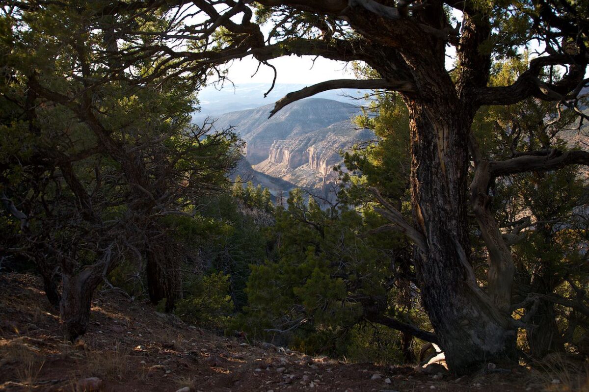
View onto Steamboat Rock in Echo Park
Island Park Area
Island Park
Island Park
Island Park
Island Park
Island Park
Island Park
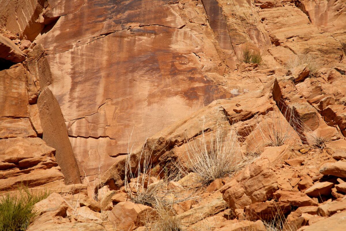
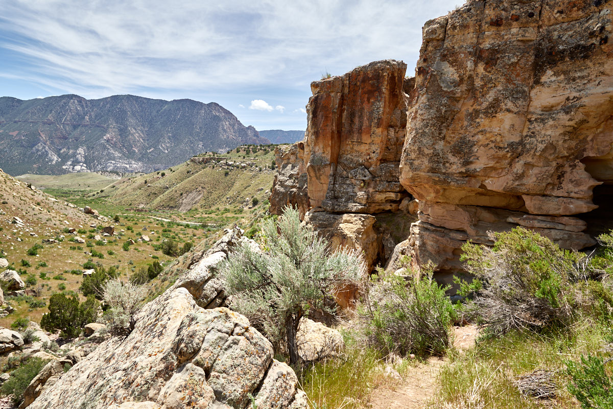
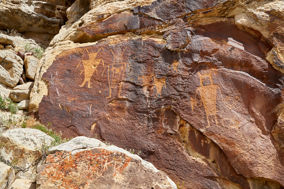
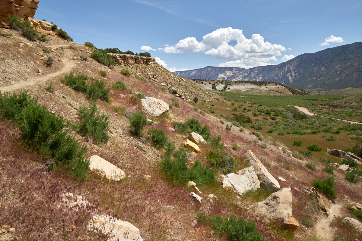
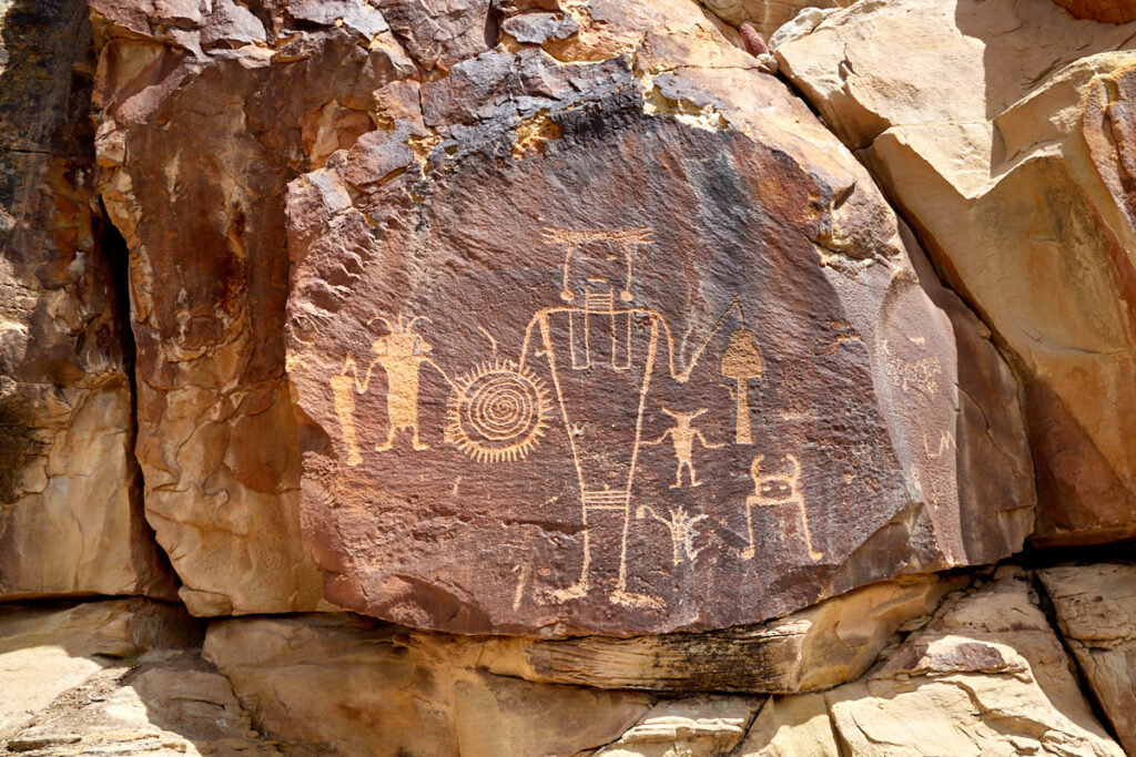
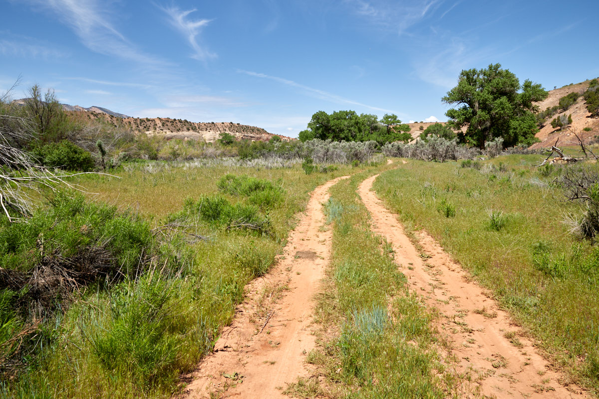
Description: Island Park is located to the west, a little off the main part of the park. You can get there via an approximately 16mi long unpaved road. In dry conditions, this good dirt road should be passable by any car. The very scenic route offers many opportunities to stop. Due to its remoteness, you will mostly have nature to yourself here. Once you reach Island Park, there are a few very nice viewpoints of the Green River, which takes a few attractive bends here. There are also a few opportunities to launch boats for a trip on the river. Along the way, there are some beautiful petroglyphs to discover. You can reach the McKee Spring Petroglyphs by climbing a small hill from the road. Coordinate parking lot:Longitude 40.508312; Latitude . The parking lot is marked and the path to and around the petroglyphs is easily recognizable.
Our rating:We really enjoyed the trip to Island Park. The beautiful landscape and the seclusion in this part of the park is just our cup of tea. We would spend time here again at any time.
☆☆☆☆☆Rated 3.5 out of 5
Island Park
Island Park
Island Park
Island Park
Island Park
Island Park
Ruple Ranch
Island Park
Island Park
Island Park
Island Park
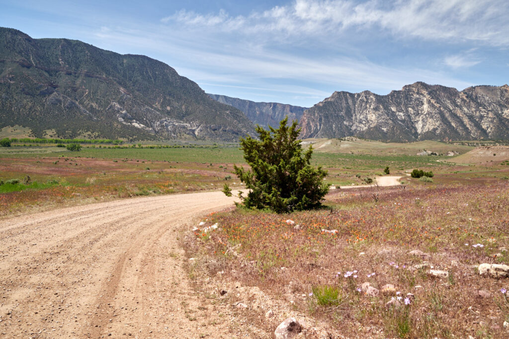
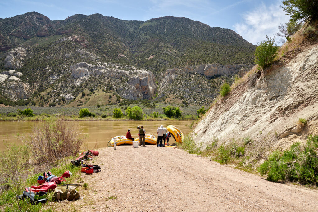
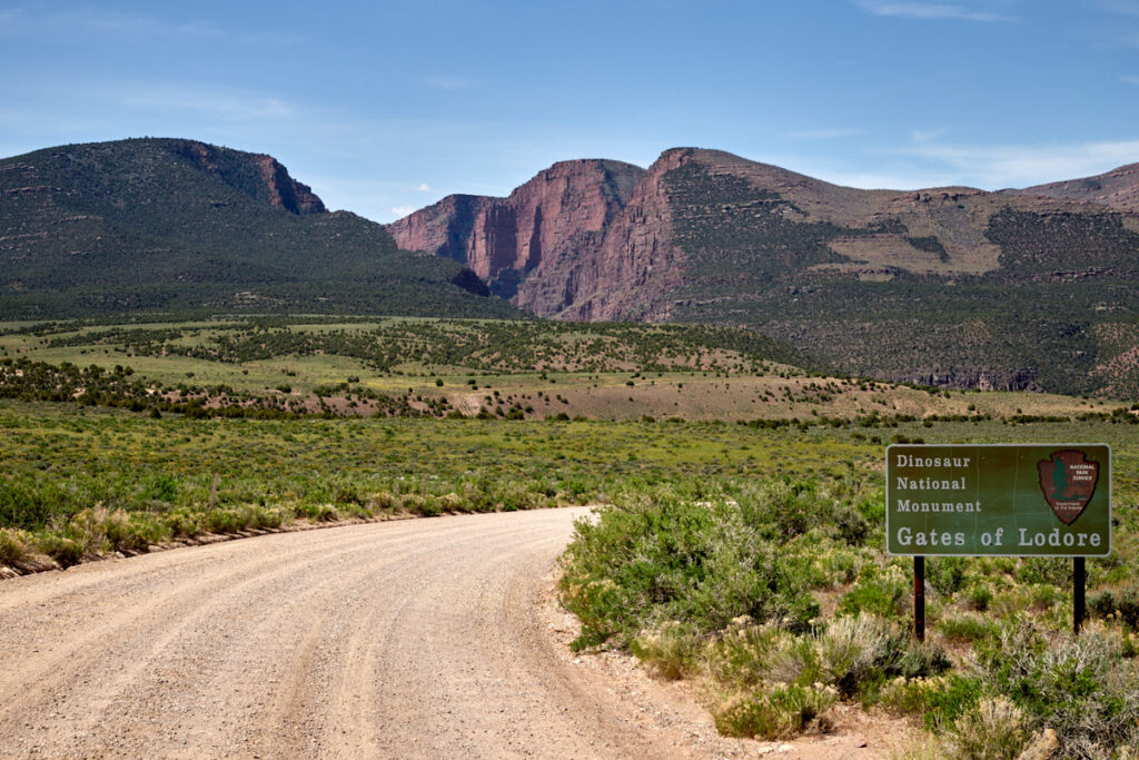
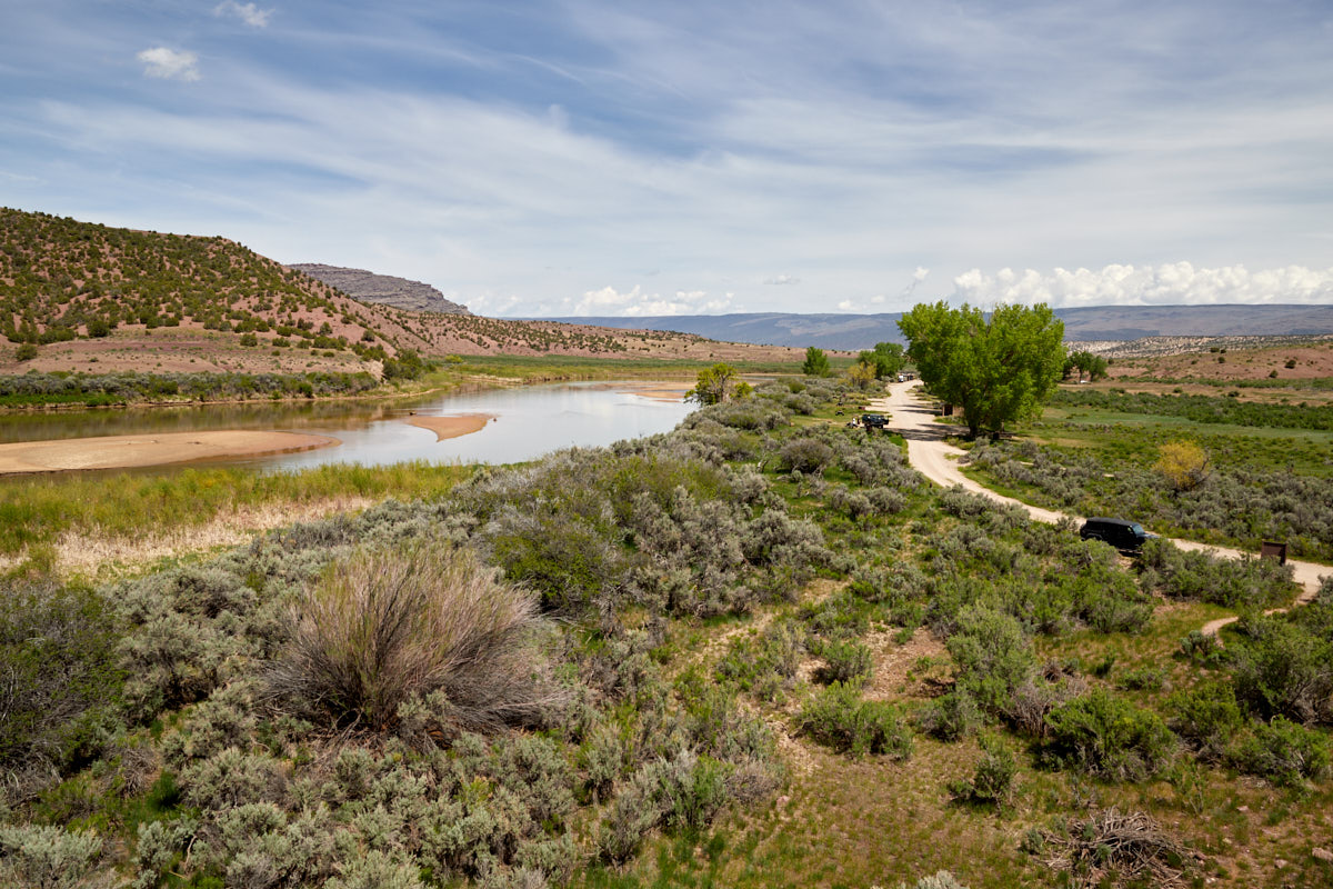
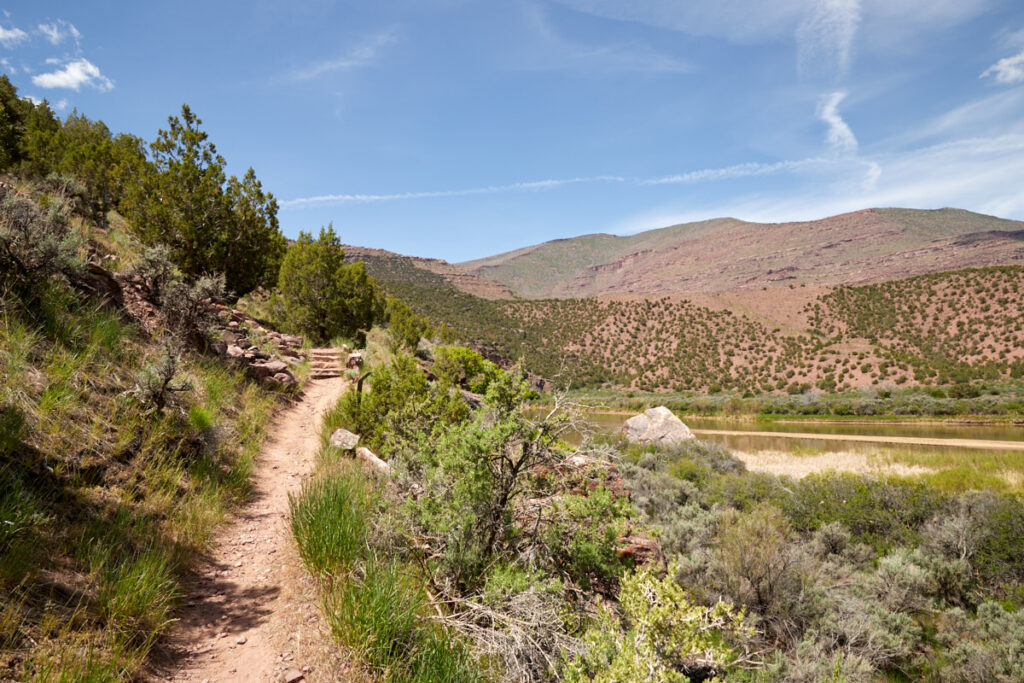
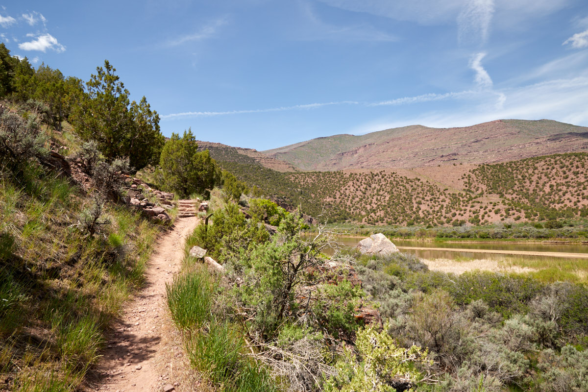
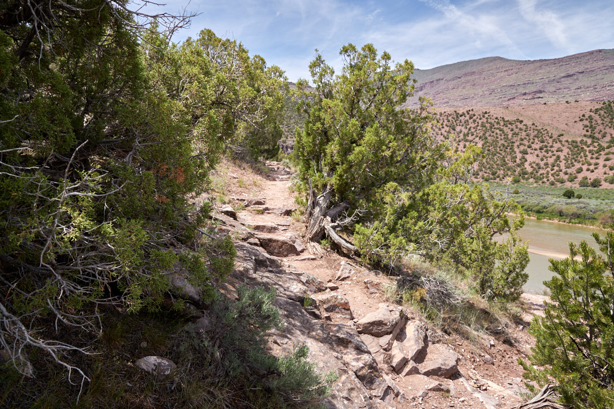
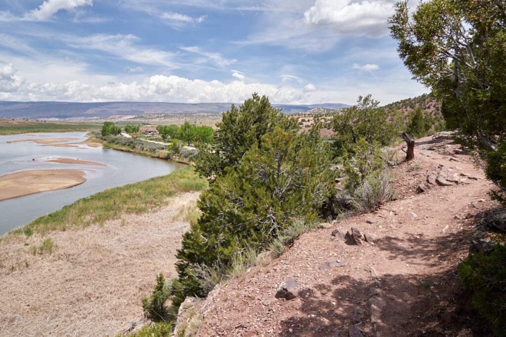
Gates of Lodore Area
Gates of Lodore
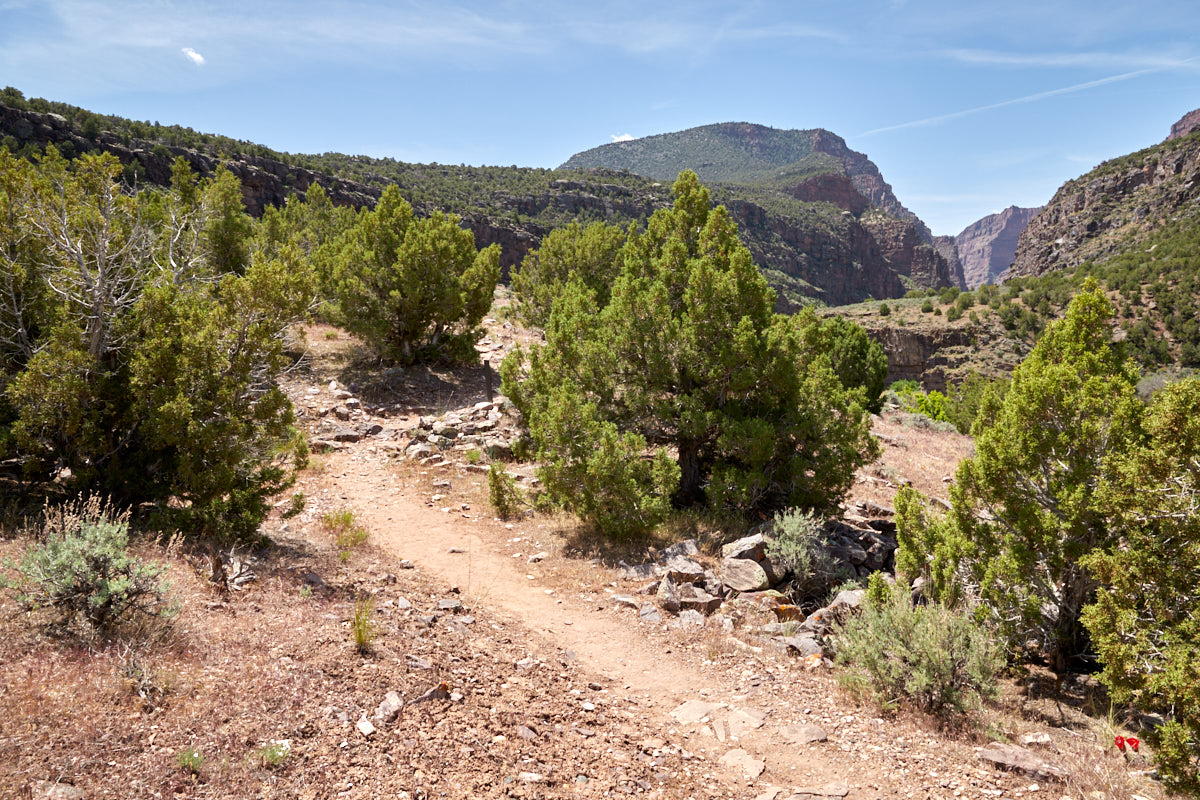
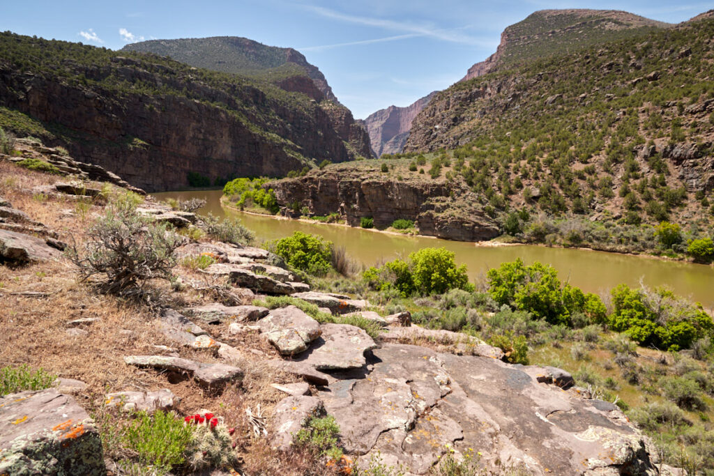
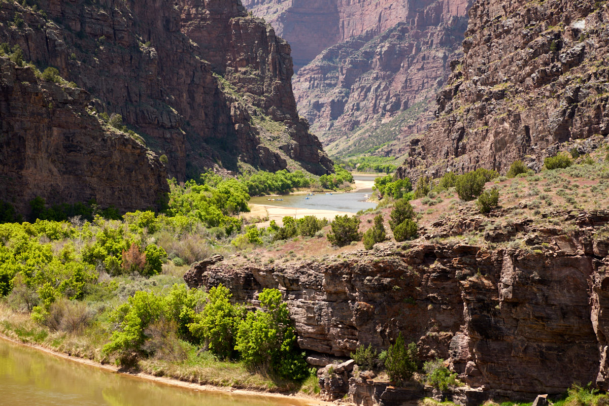
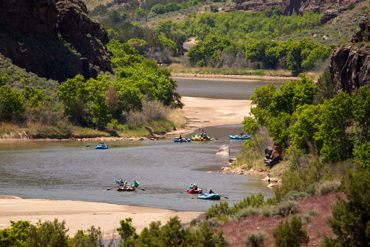
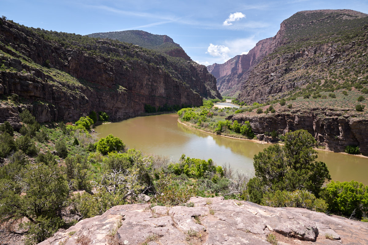
Description: Gates of Lodore is located in the north part of the park and is not directly accessible from the southern part. As it is somewhat remote and not necessarily on the usual routes through the southwest, it is mostly remote. The place is particularly popular as a launching point for boats on the Green River. Gates of Lodore can be reached via a very good, unpaved road. All cars should be able to drive on this road. At the end of this road there is a 1-mile long hiking trail that leads to a great viewpoint of the Green River and the surrounding mountains.
Our rating:Gates of Lodor had been on our to-do list for a very long time. At the end of May 2023, this great location finally fitted into one of our routes through the southwest. The place is great. We really liked the seclusion and especially the short hike. The detour here is definitely worth it.


