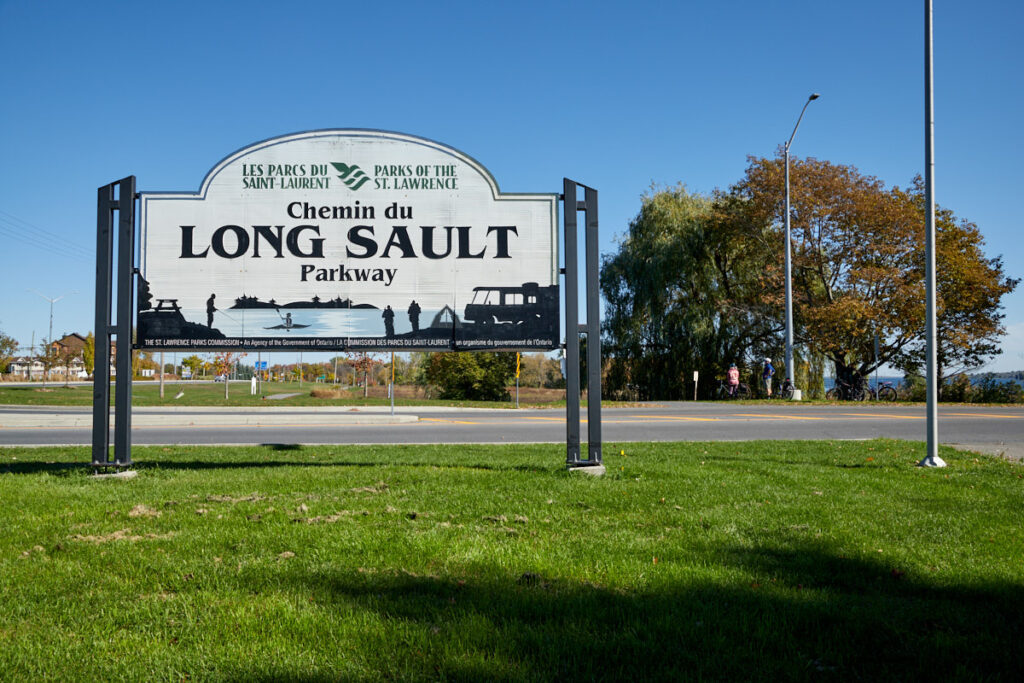
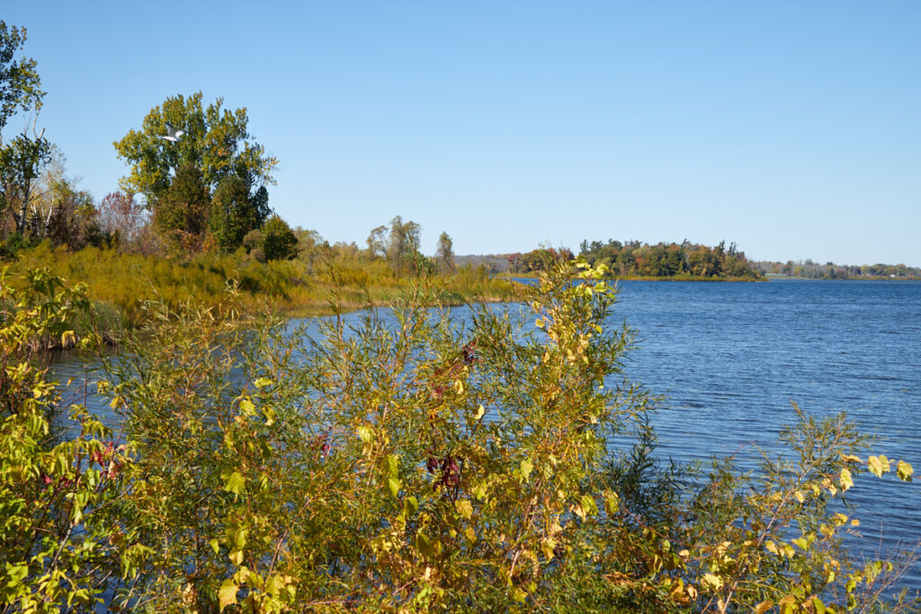
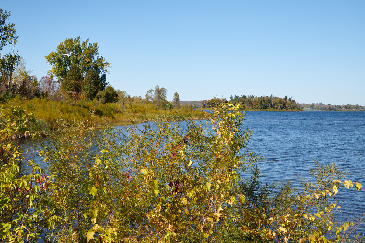
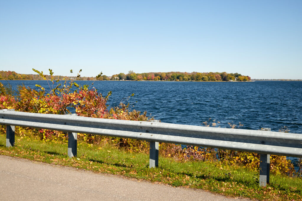
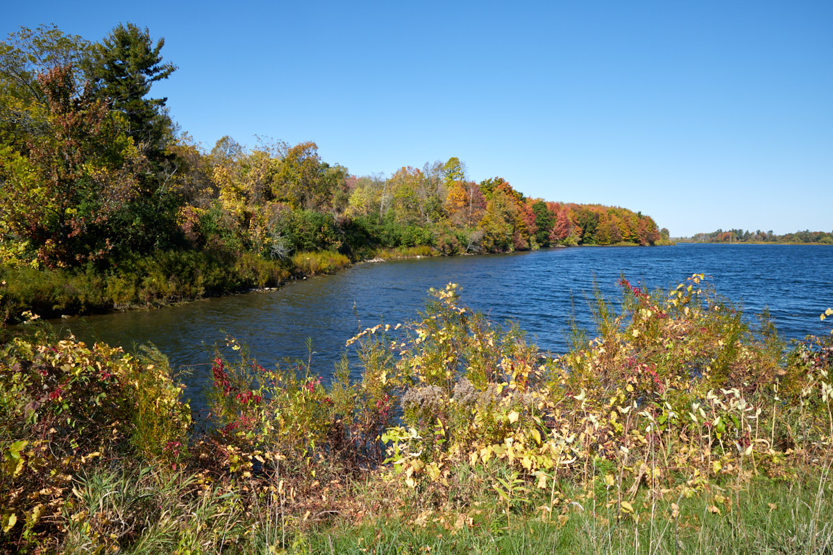
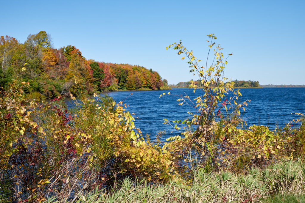
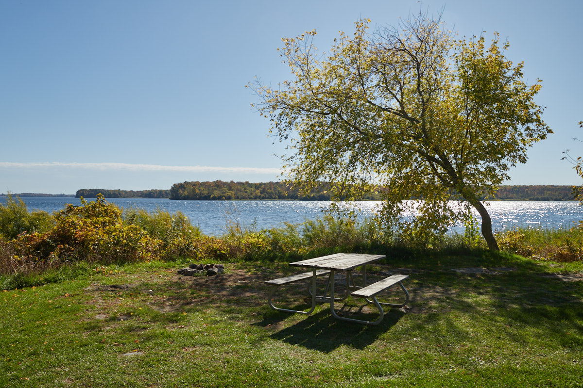
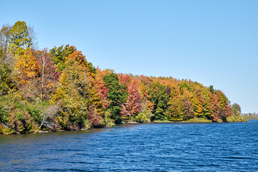
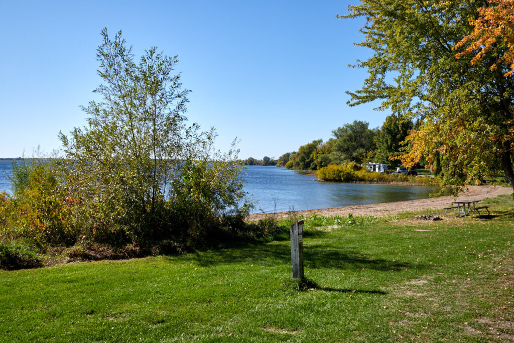
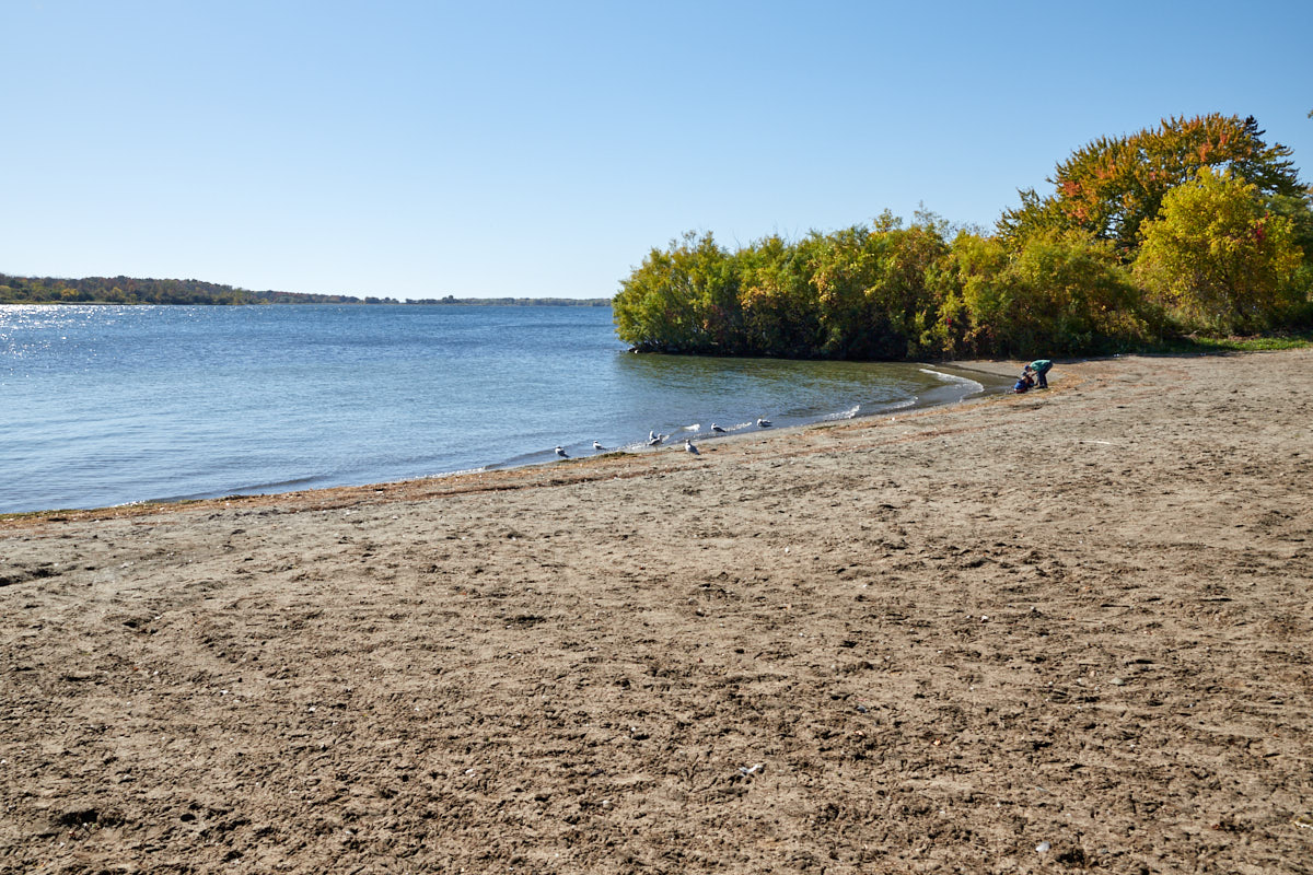
Description: The Long Sault Parkway is a 10.1-kilometer scenic park road connecting eleven small islands. The islands, which include two public beaches and three campgrounds, were created by the flooding of the Long Sault Rapids during the construction of the St. Lawrence Seaway. Today, the parkway and islands serve as a recreational area.
Admission fees: The parkway can be used free of charge—a paid day pass is required for picnic areas and beaches. Opening hours: seasonal – usually open from mid-April to mid-November
Our rating: We took the parkway because we wanted an alternative to the highway. All in all, however, we found that the detour is only really worthwhile if you can take advantage of the recreational opportunities on offer here, such as bike paths and beaches. It's okay just to drive through, but it's not really spectacular.


