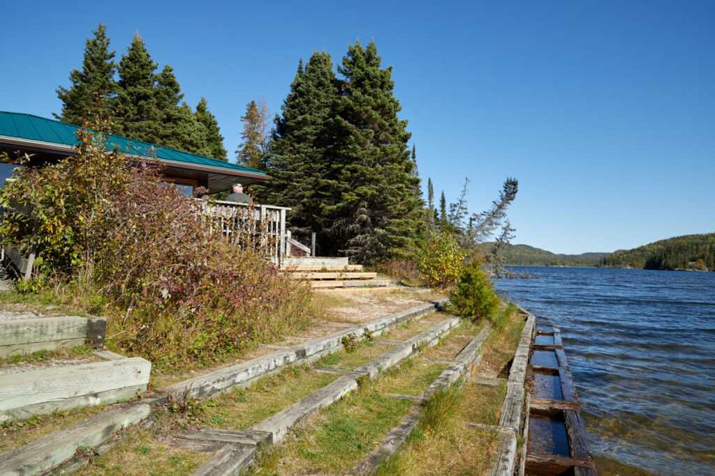
Pukaskwa National Park is the largest national park in the province and is located on the eastern shore of Lake Superior near the mouth of the Pic River. The 1,878 km² park was established in 1971 and stretches about 80 km along the shore of Lake Superior. The park is very remote. The only road access is via Ontario Highway 627 in the north. The park represents the border area between the Great Lakes region and the Canadian Shield. The flora is largely dominated by boreal forest. Among other species, woodland caribou, black bears, moose, Canadian lynx, and wolves live here. Although it is known that the name Pukaskwa is of indigenous origin, the meaning of the word is unclear.
Visitor number 2020/2021
0
Number of visitors
Best time to visit:May to October Our visits: So far 1 visit: September 2025
The road to the park is open from mid-May to the end of October. The Visitor Center opens in mid-June.
*The Discovery Pass is a “flat-rate” pass for all areas managed by Parks Canada. It costs CAD 83.50 per person, or CAD 167.50 for up to 7 people in a single vehicle, and is valid for one calendar year, calculated on a day-to-day basis.
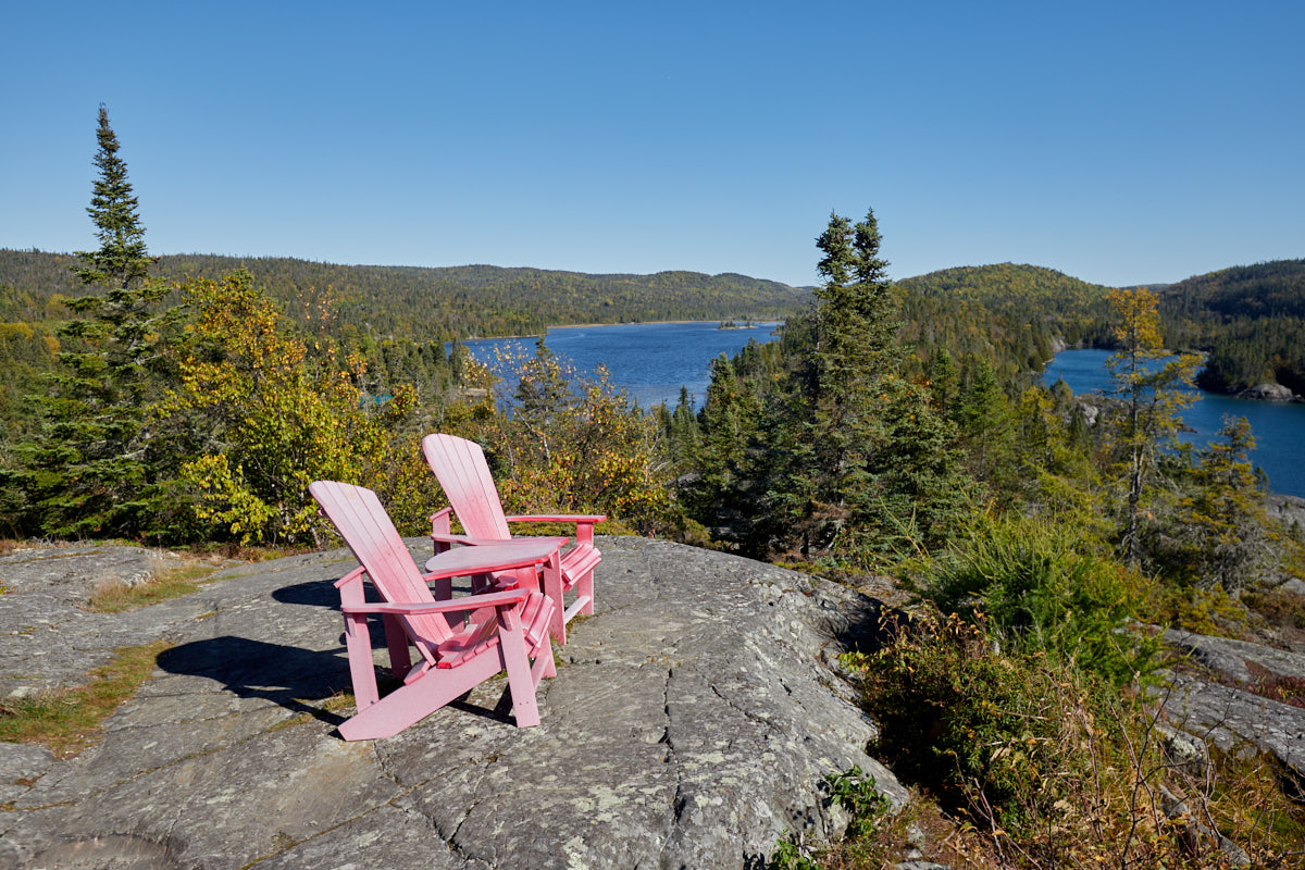
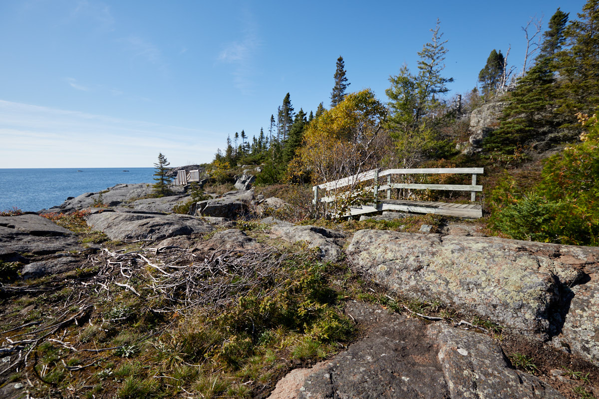
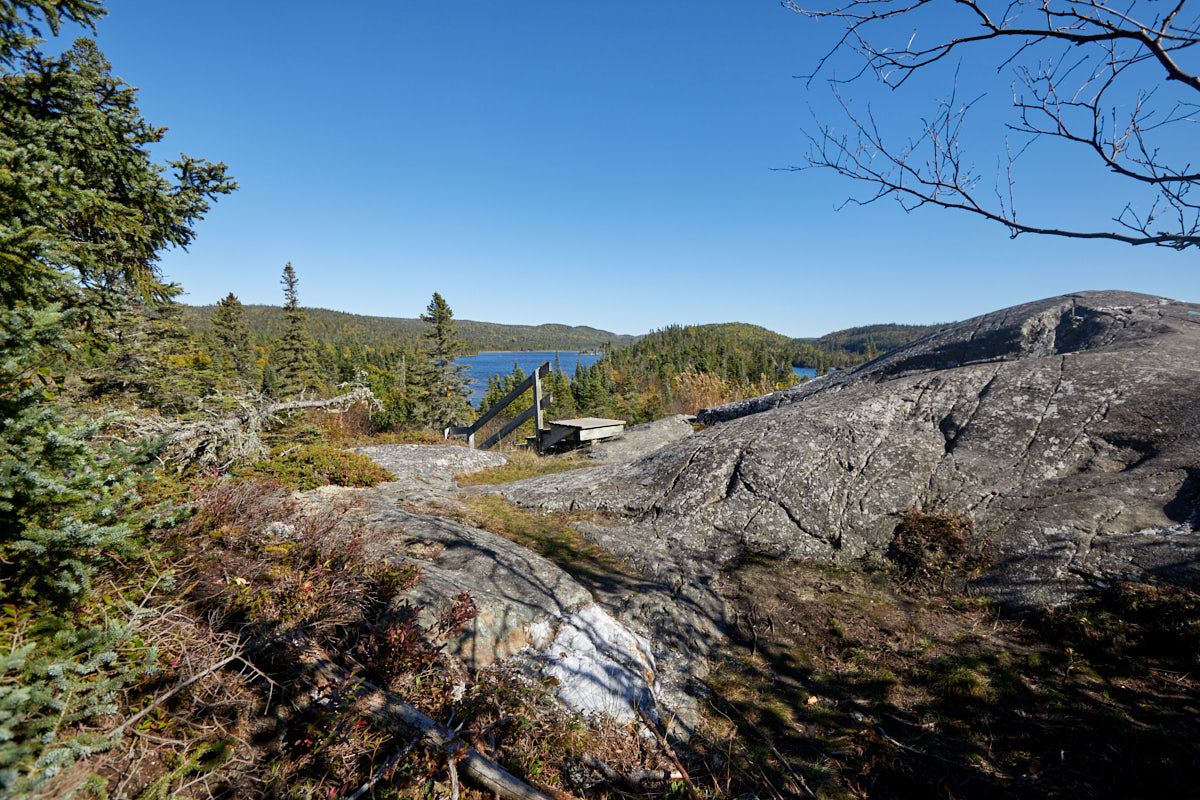
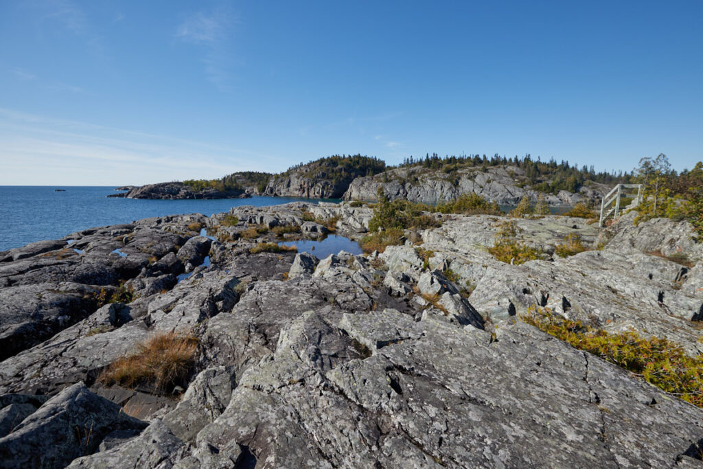
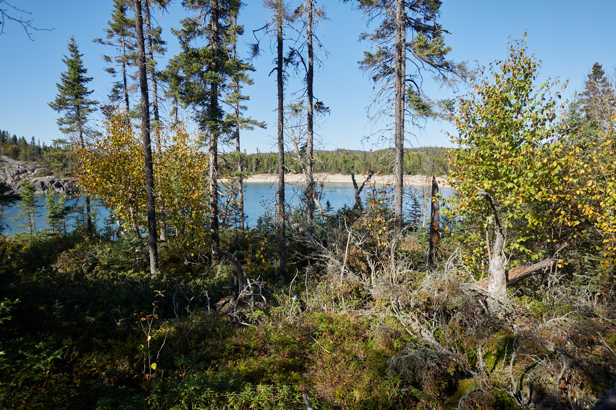
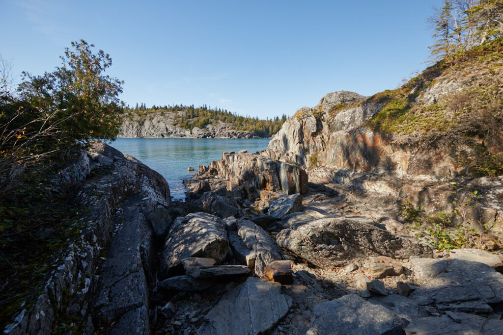
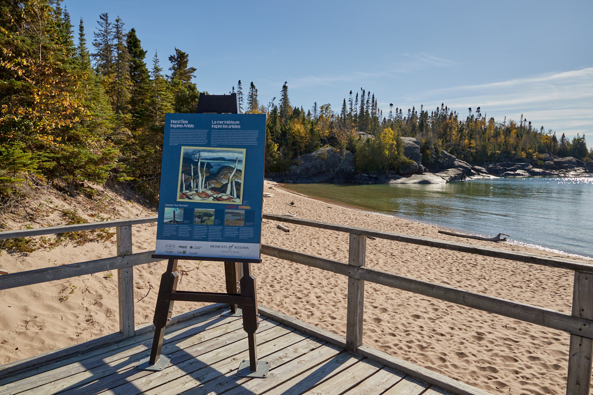
Southern Headland Trail
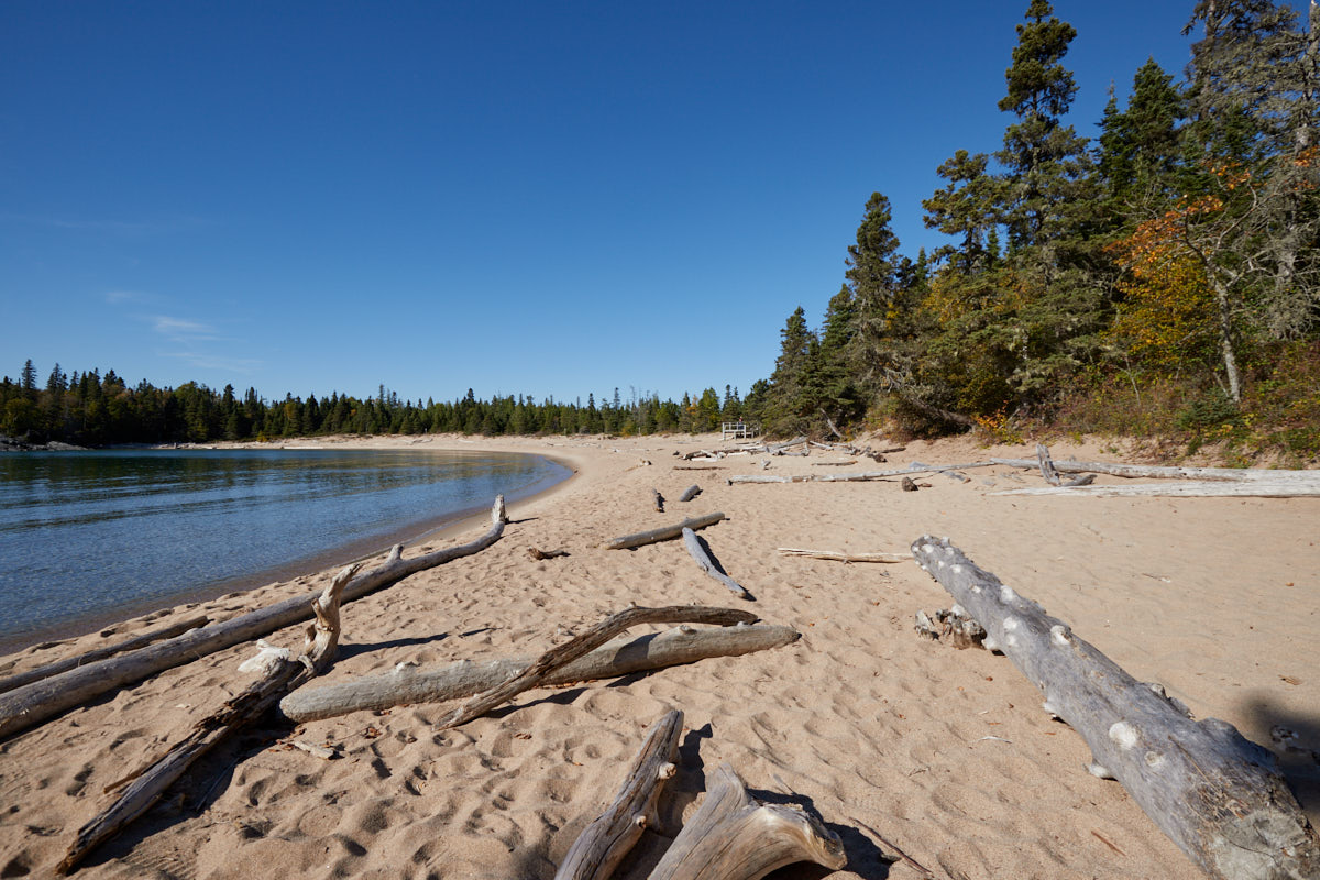
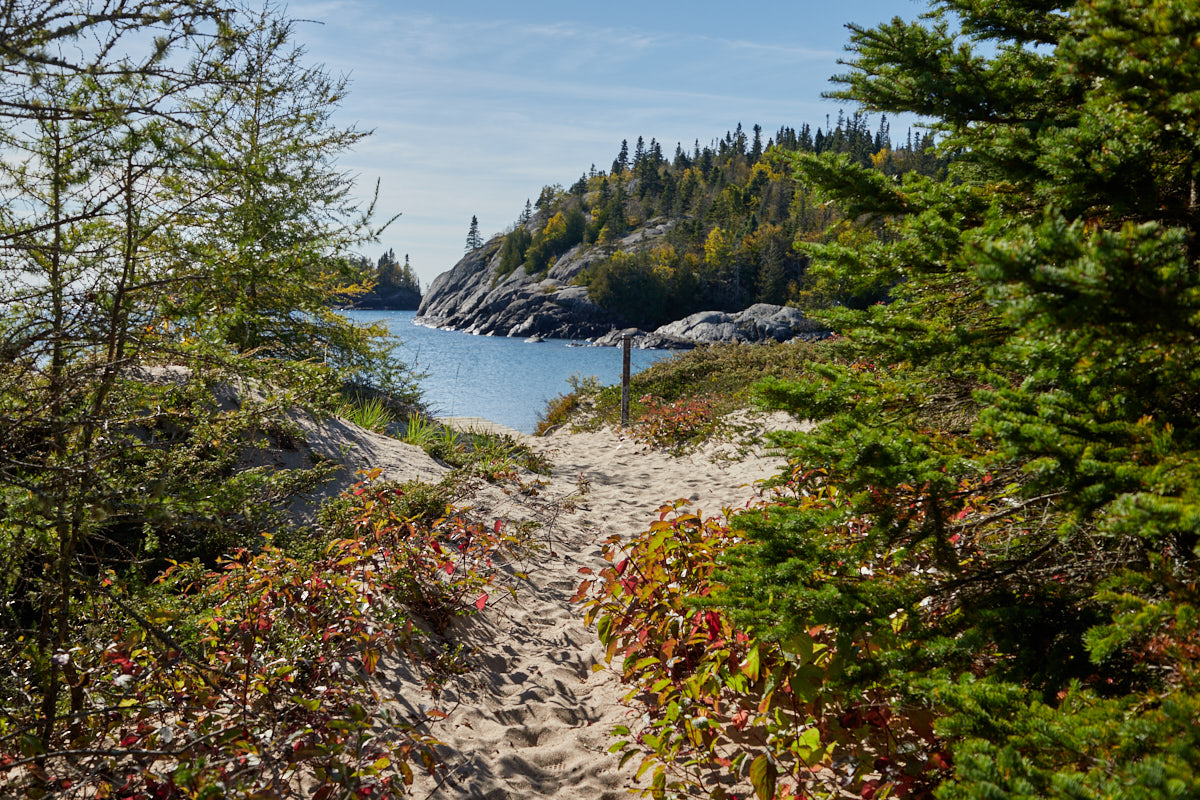
Description: Most of the park is undeveloped wilderness and can only be reached by multi-day hikes or by canoe. The Southern Headland Trail is one of the few short trails where you can get at least a small impression of the landscape. The trail leads up and down over rocks and steps and offers beautiful viewpoints along the way.
Our rating: With such great weather, it wasn't difficult to appreciate this stunning landscape. Anyone with a little time to spare will find peace and quiet here to enjoy the picturesque, rugged scenery around Lake Superior. We really enjoyed it.


