Note: On dirt roads, road conditions can change constantly. Therefore, we strongly recommend that everyone check the road conditions before each trip. We do not recommend driving on unpaved roads before, during or shortly after rain or snowfall.
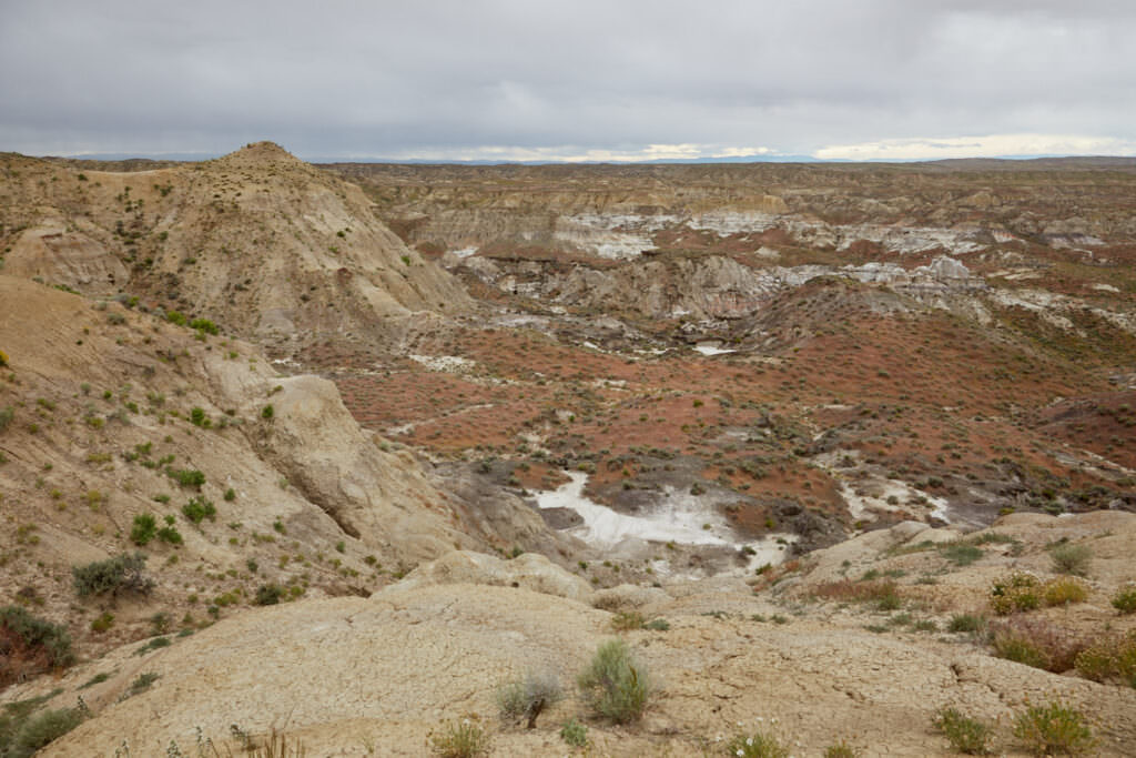
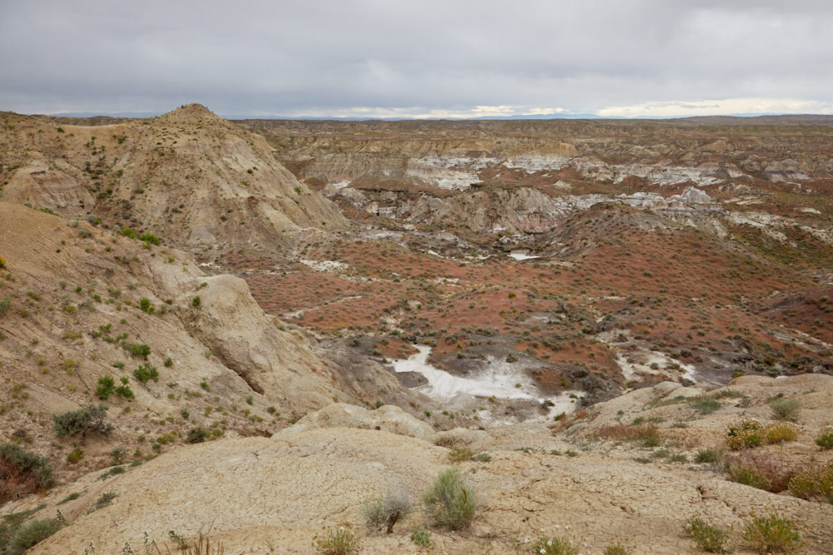
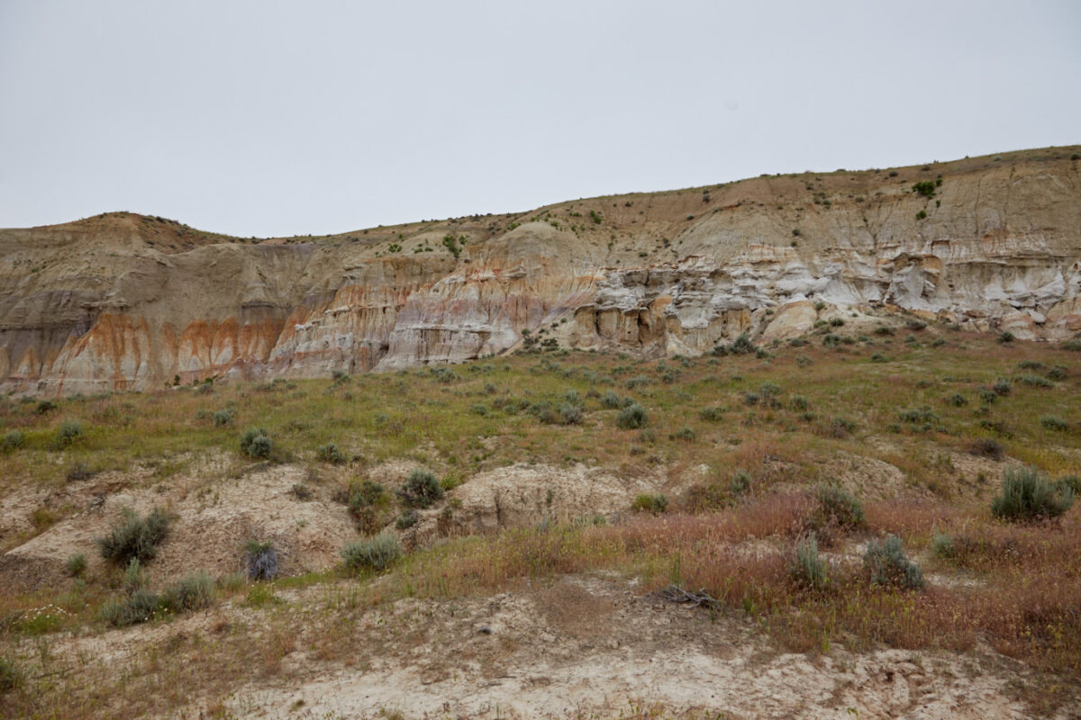
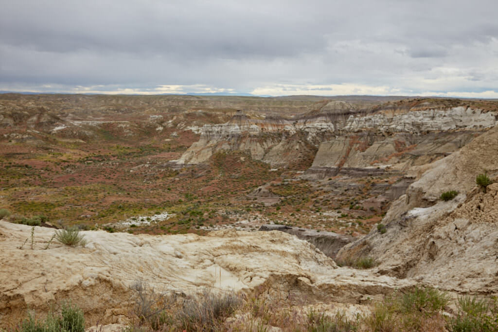
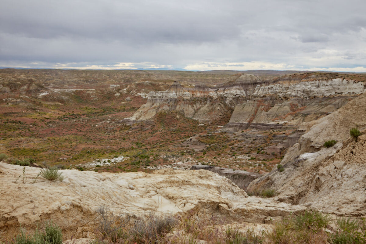
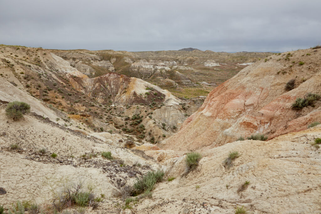
Altitude above sea level: Rim above the Badlands
5020ft
Here are the GPX files of our drive to the Homeycombs WSA.
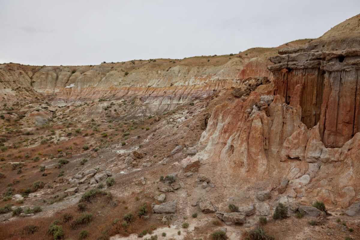
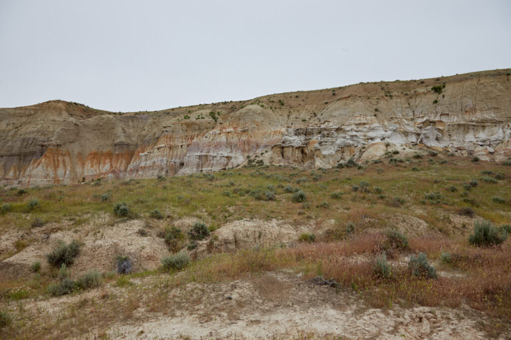
Description of how to get there: The entire drive is about 9mi long and completely unpaved. The junction with the dirt road is about halfway between Worland to the west and Ten Sleep to the east. Coordinate of the junction: Latitude 44.025954, Longitude -107.623897. On the way to the Badlands there are several junctions so we would recommend to use the track to not get lost. Once you have reached the Badlands, you can also drive on various small side roads through the Badlands. We did not do this. We looked at the Badlands more or less from the road. We spent about 1 hour here. For a more detailed exploration, a larger amount of time is certainly necessary.
During our visit, 4×4 was not necessary. Higher ground clearance was sometimes quite helpful. The road was in good condition.
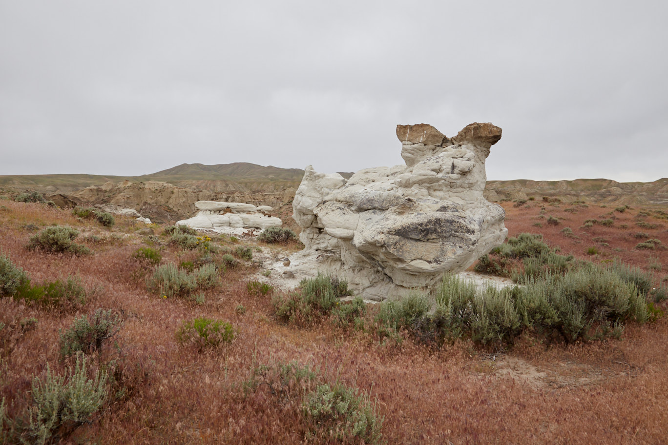
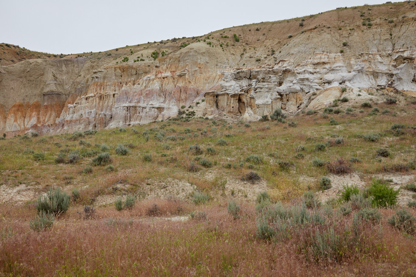
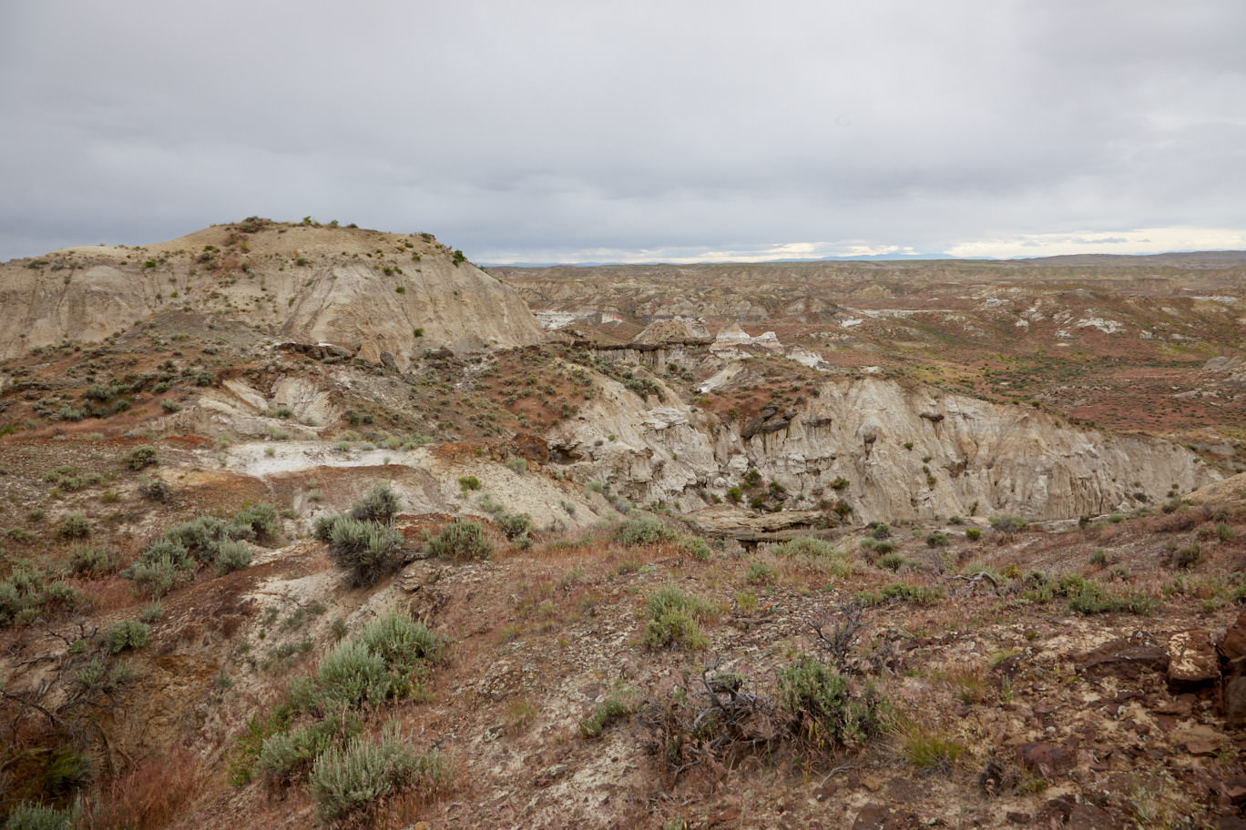
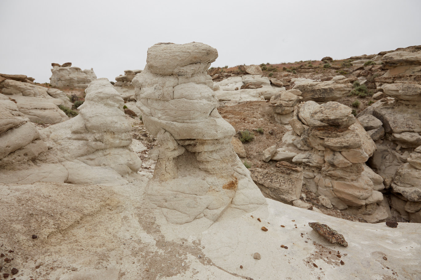
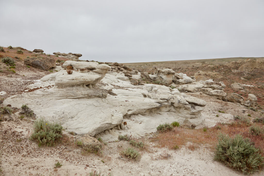
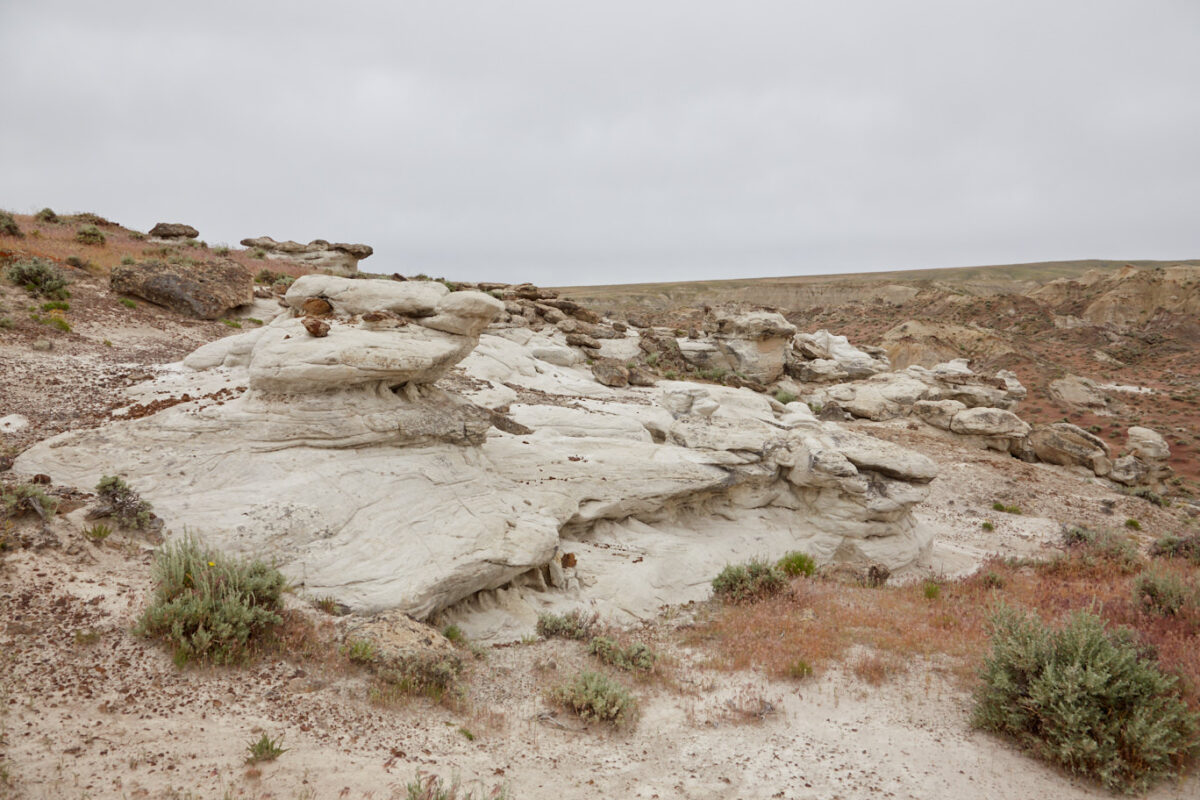
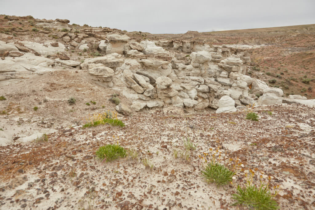
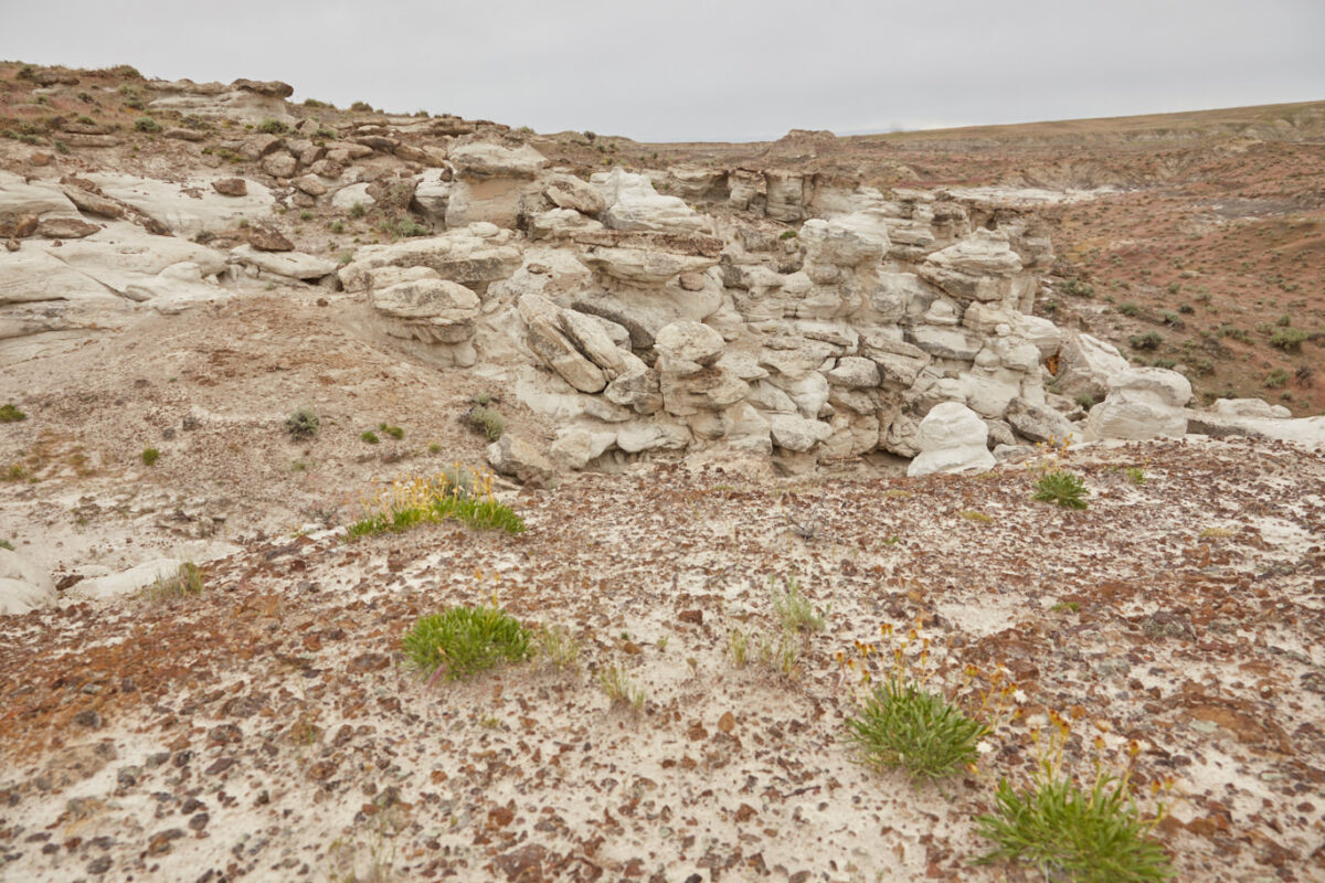
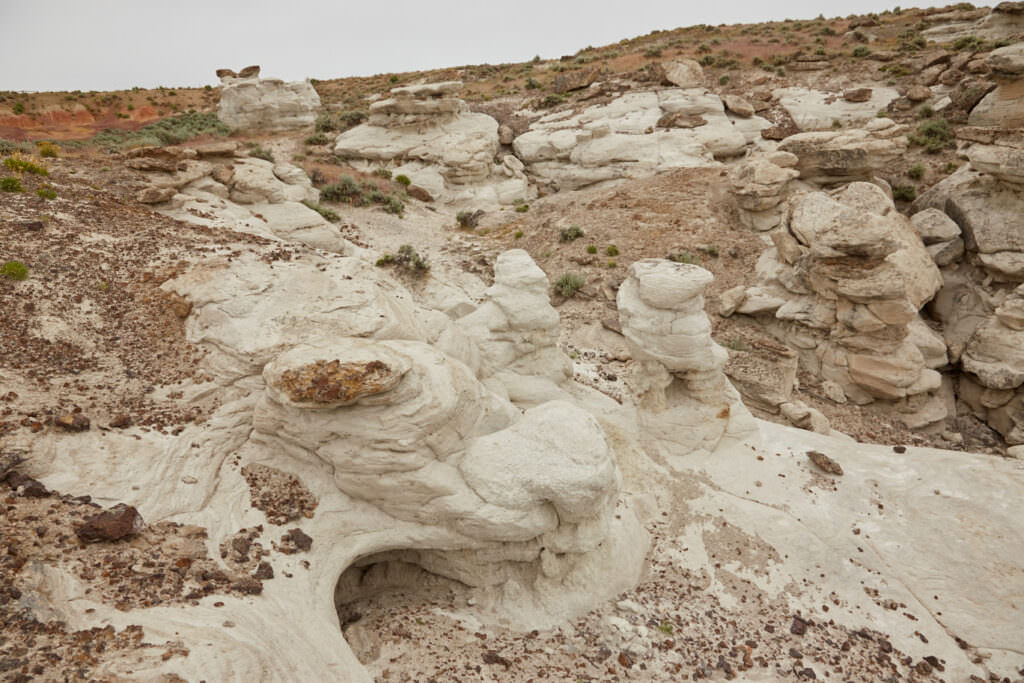
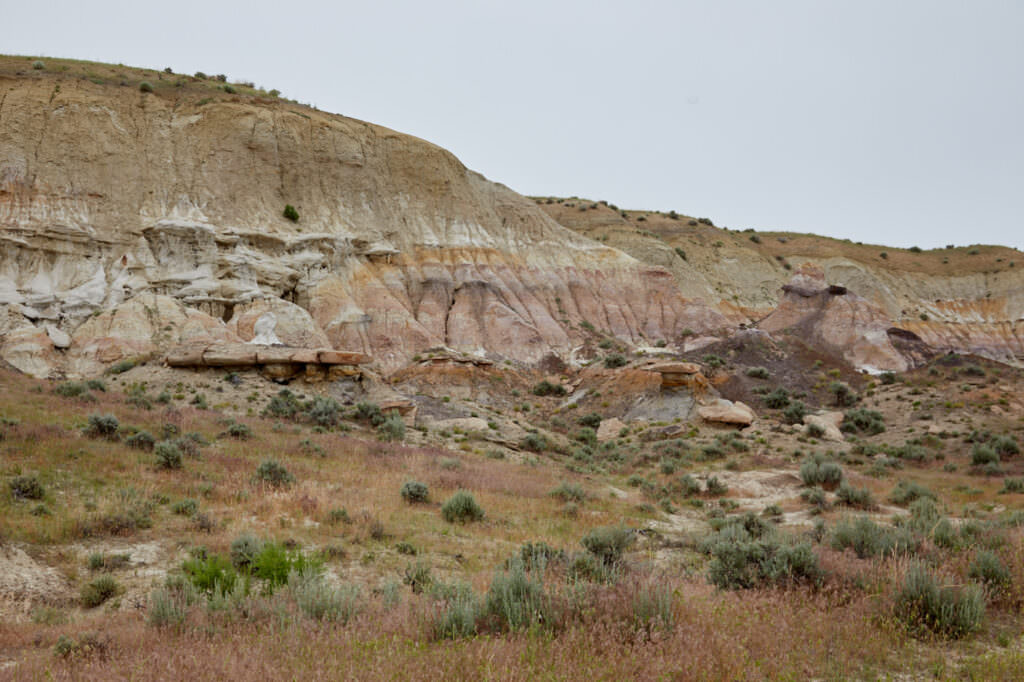
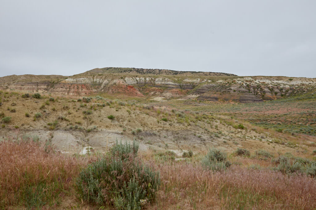
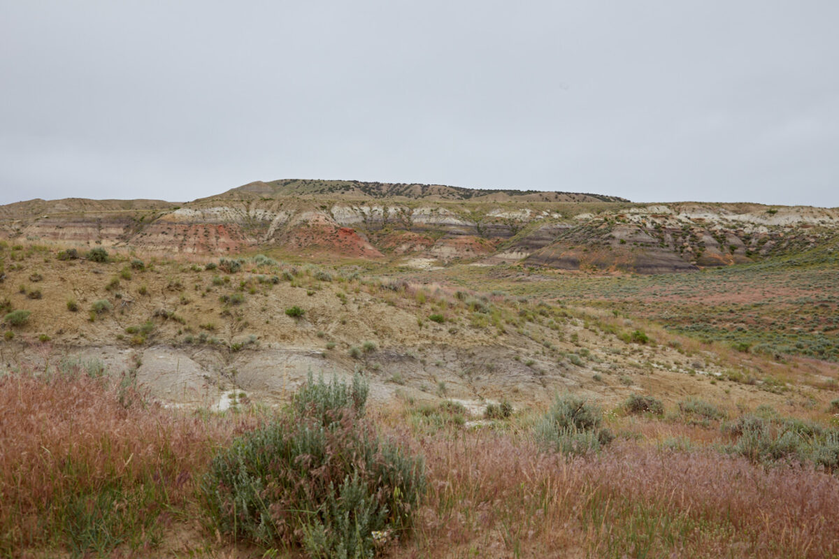
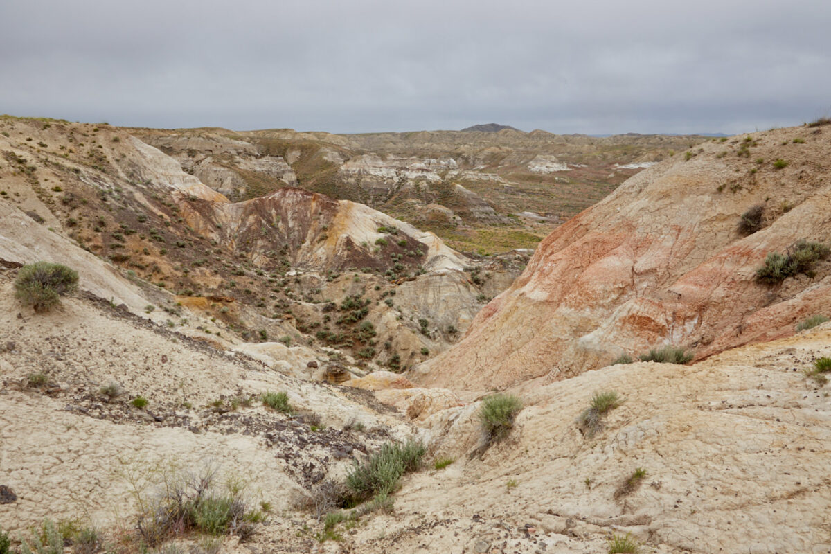
Our rating:: When we visited the Badlands in June 2017, we unfortunately had the worst weather imaginable. Since we did not want to get into a rain shower on a dirt road, we have looked at the Badlands only from the Rim. With better weather, it would have been fun to go on a little exploration tour. So there remained unfortunately only a short view from above.
Note: The Honeycomb WSA can be combined with a visit to Castle Garden . To do this, simply continue on the road. It is not necessary to drive back to the main road. Also for this route it would be useful to use a track, because there are several junctions.


