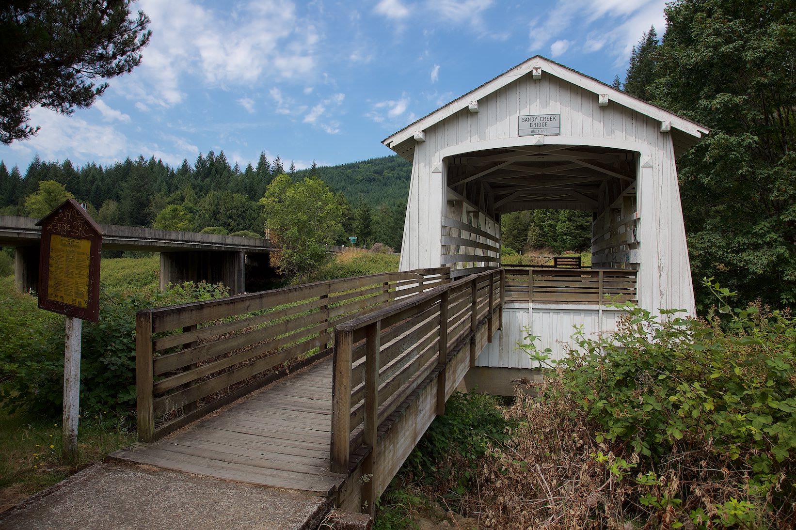
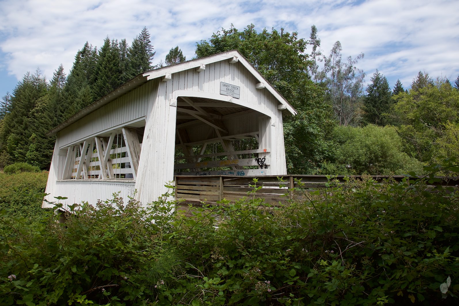
Description: The bridge was built in 1921. For 28 years, all Oregon Route 42 traffic passed over it. After that, a bypass and a new bridge were built. However, the old bridge was preserved and was added to the National Register of Historic Places in 1979. The bridge is 59ft long and still stands in its original place.
Our rating: Not an absolute must see for which you have to drive a huge detour. But if you drive past it anyway, the bridge is worth a little stop.
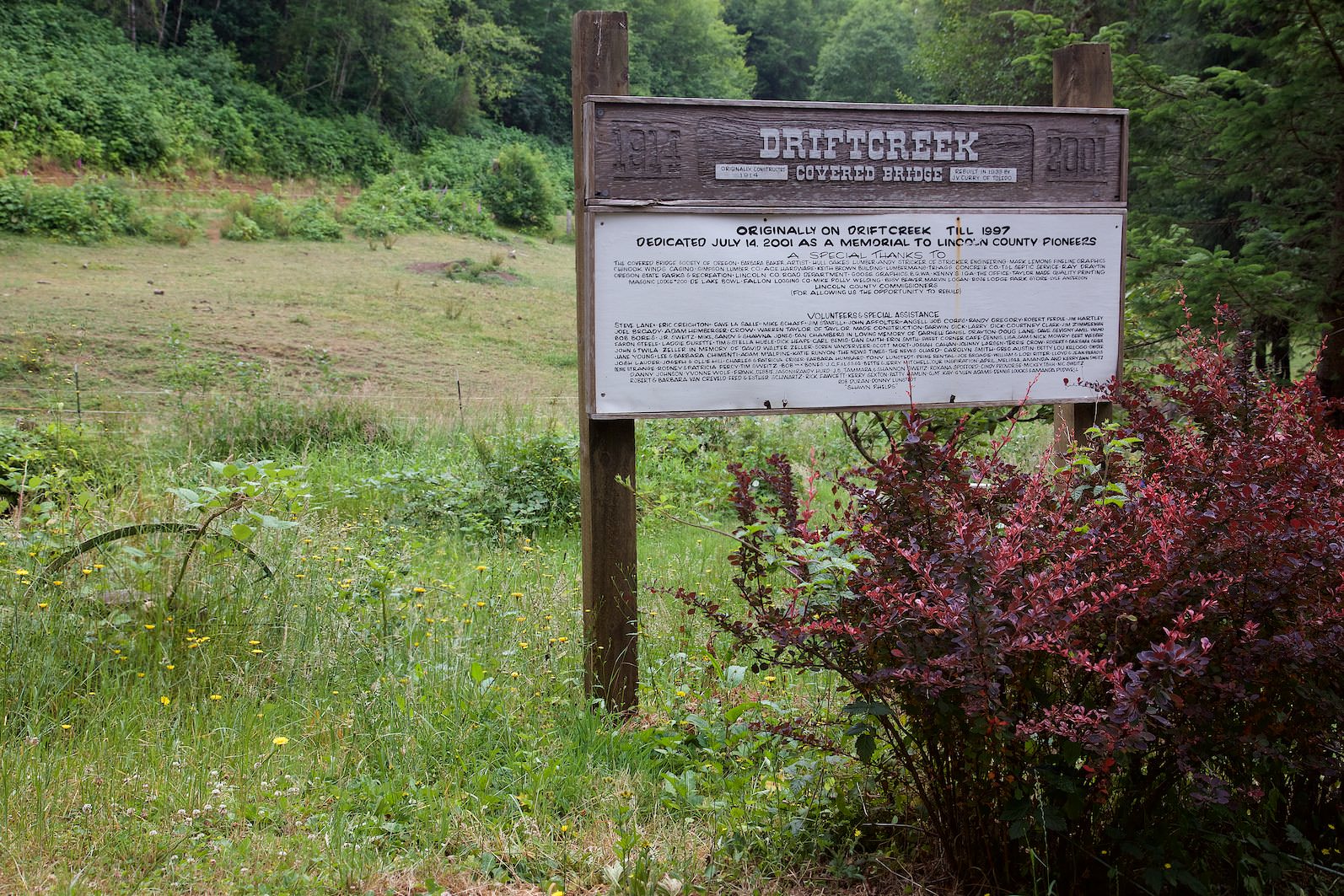
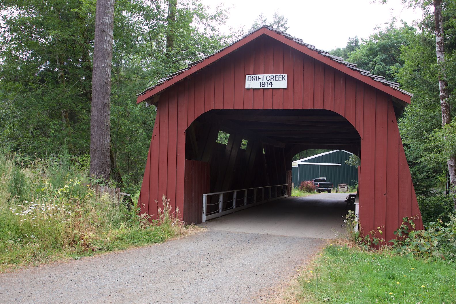
Description: The Drift Creek Covered Bridge was built in 1914 and originally carried traffic over Drift Creek. It was closed in 1988 for safety reasons. Traffic had been rolling over the new bridge for more than 20 years by then. But to preserve the old Covered Bridge, it was dismantled in 1997 and rebuilt 8mi north, at its current location.
Our rating: We also found these bridges quite nice. Whether you have to make the detour here, everyone must decide for themselves. Except for the bridge, there is not really more to see here.