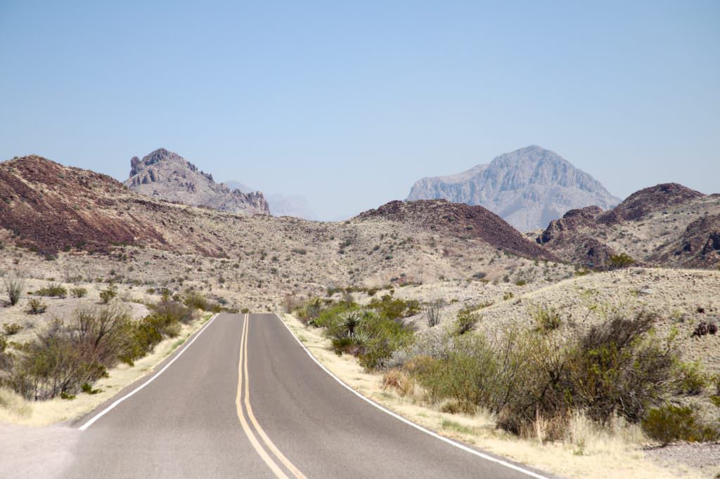
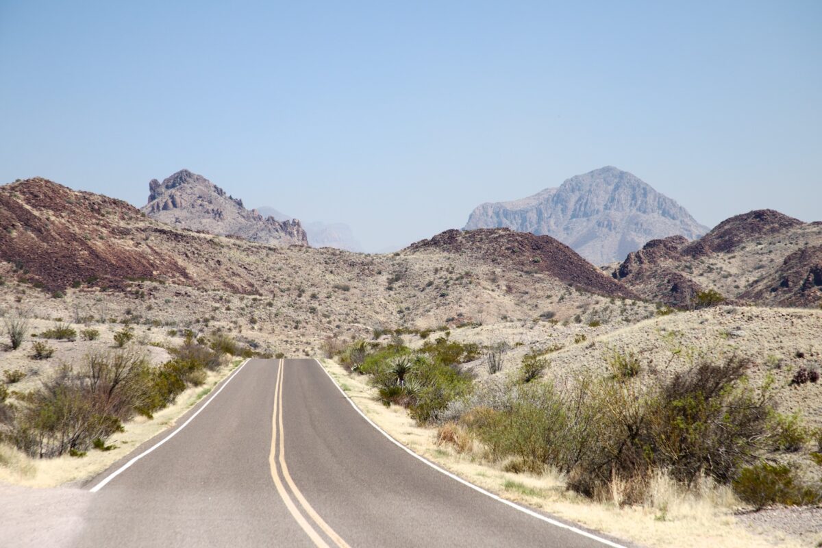
Big Bend NP is one of the largest national parks in the USA in terms of area. It is located in the south of Texas, directly on the border with Mexico. This border is formed by the Rio Grande. To protect this special nature the national park was established here in 1944. The park is very diverse. There is everything here. From the desert to 7546ft high mountains. Thus, the climate varies greatly. While there are usually moderate temperatures in the mountains even in summer, they often rise well above 104°F in the desert.
Visitor number 2000
0
Visitor number 2010
0
Number of visitors
In 2023, Big Bend NP ranked 40th in the visitor statistics for the most visited national parks. Best time to visit:Between October and April you can find the most pleasant temperatures. Our visits: So far 1 visit: March 2018
*The Anual Pass is so to speak the "flat rate" for all Parks managed by the National Park Service. The pass costs a one-time fee of $80 and can be purchased at the entrance to each National Park, National Monument, etc. The pass is valid for 13 months.
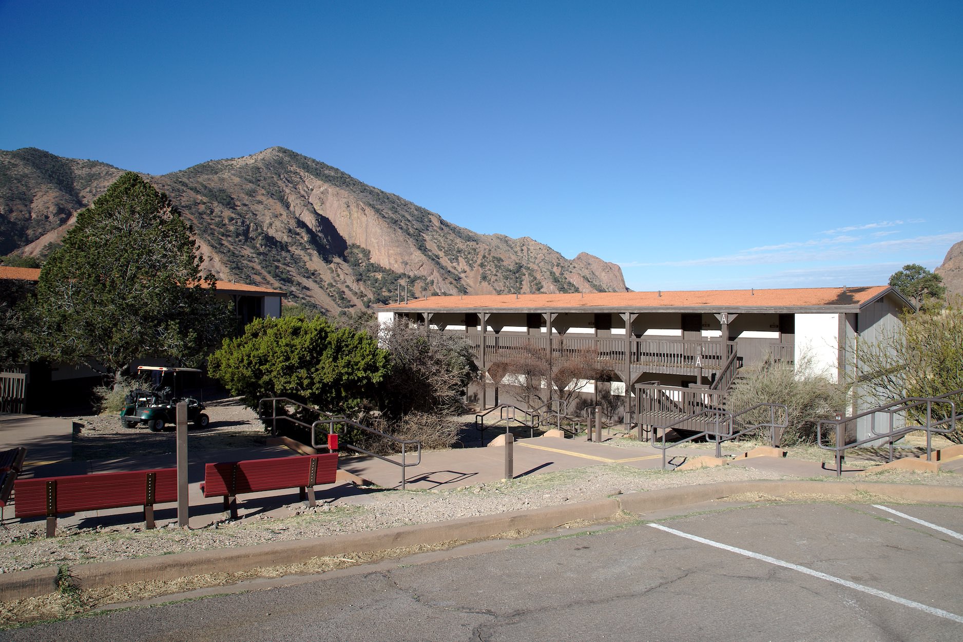
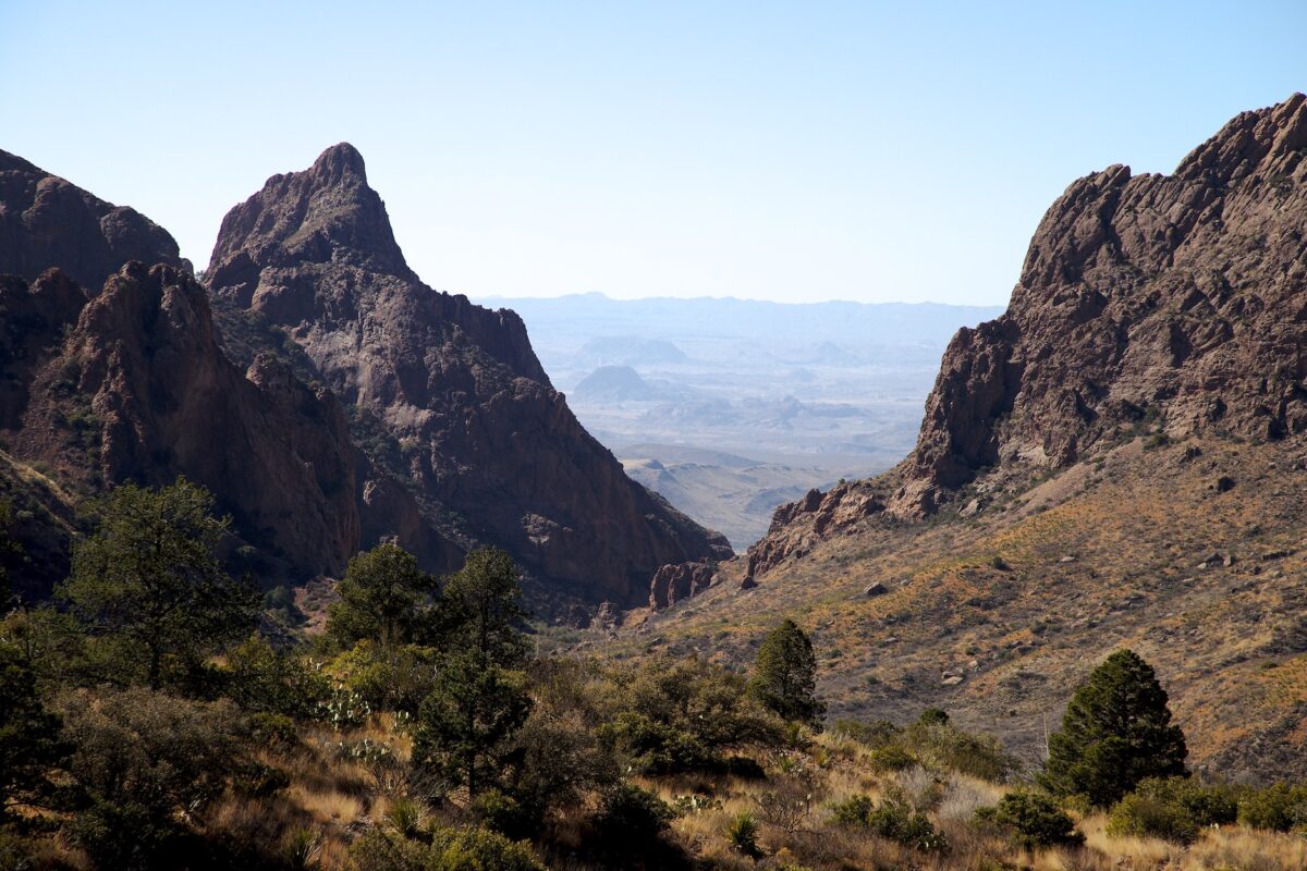
Description: The Chisos Mountains Lodge is located in the middle of the Chisos Mountains and is the only place to stay (outside of campgrounds) in Big Bend National Park. Precisely because of this limited choice, you should look for a room very early. Especially in spring everything is booked up months in advance. There is also a restaurant near by, which was quite OK. Wi-Fi is available in the area of the visitor center and the restaurant.
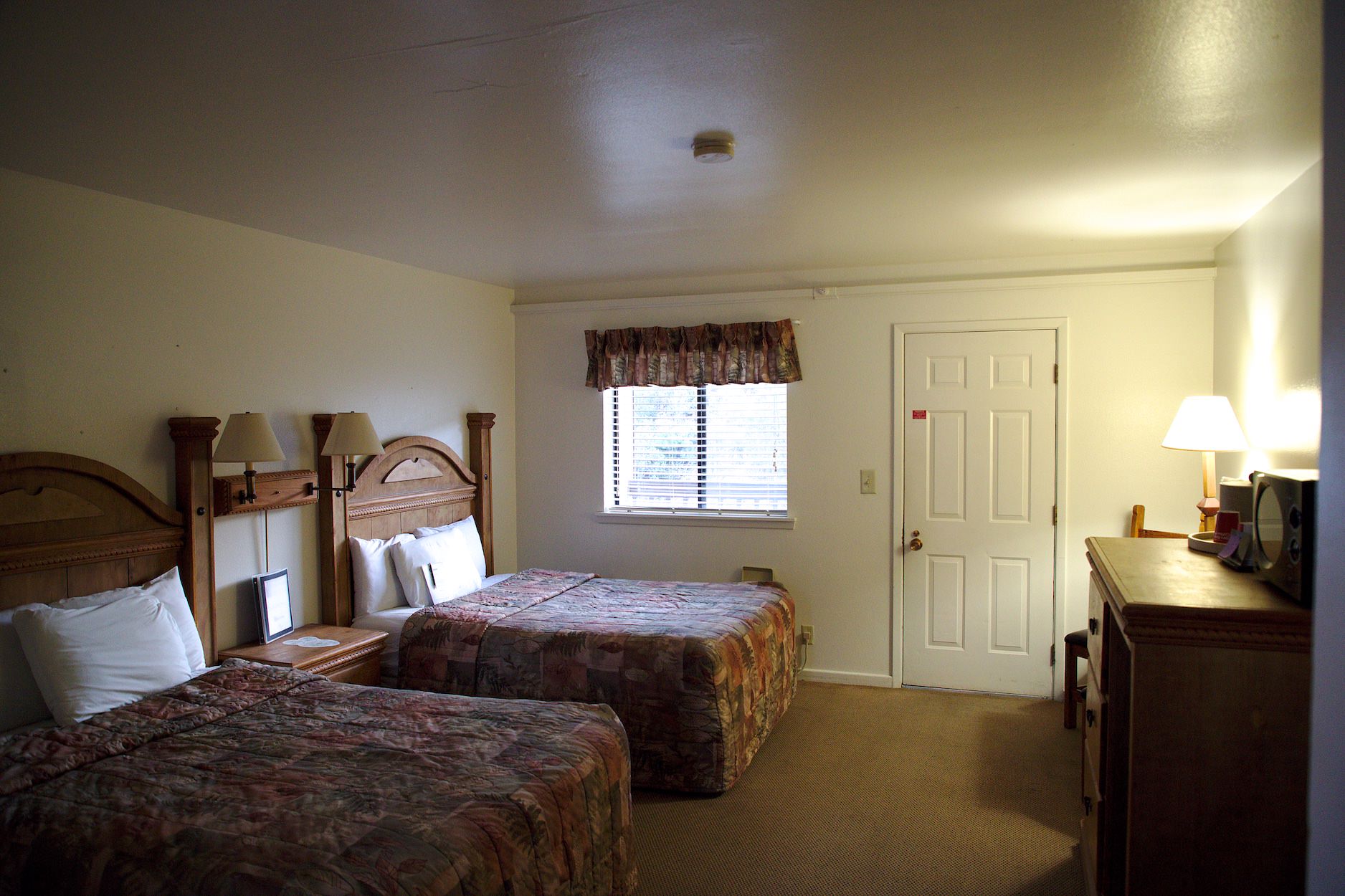
Our rating:We stayed here at the Mountain Lodge in early March 2018. I had booked the rooms 8 months in advance. Our room was fine. The bathroom was very small, but basically everything you needed was there and it was clean. The highlight was the balcony from which we would have liked to see a bear. Unfortunately, however, no bear showed up.
☆☆☆☆☆Bewertet mit 3.5 von 5
Chisos Mountain Lodge
View of the Window from Chisos Mountain Lodge
Chisos Mountain Lodge
Chisos Mountain Lodge
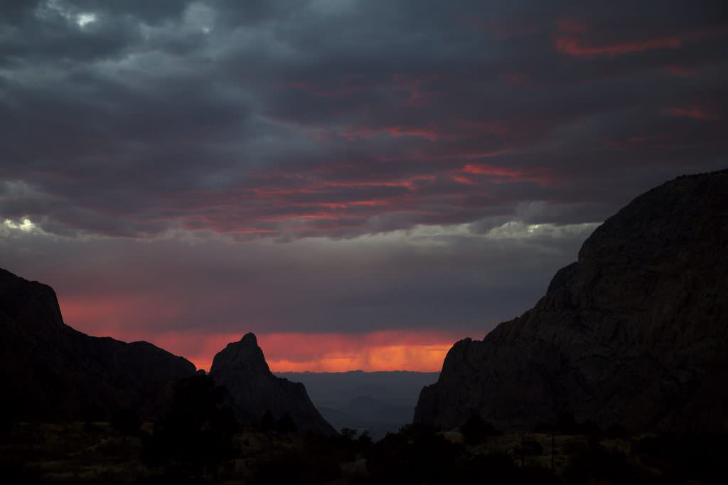
Sunset from the terrace of the Mountain Lodge
Chisos Mountain Lodge
Chisos Mountain Lodge
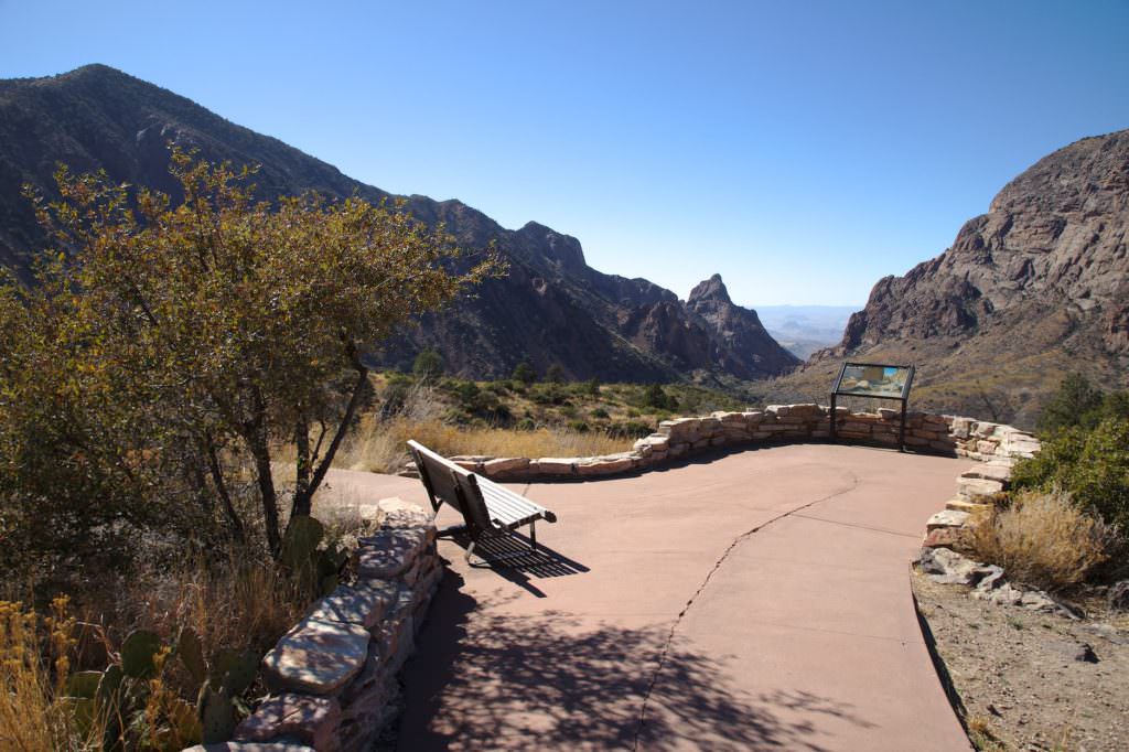
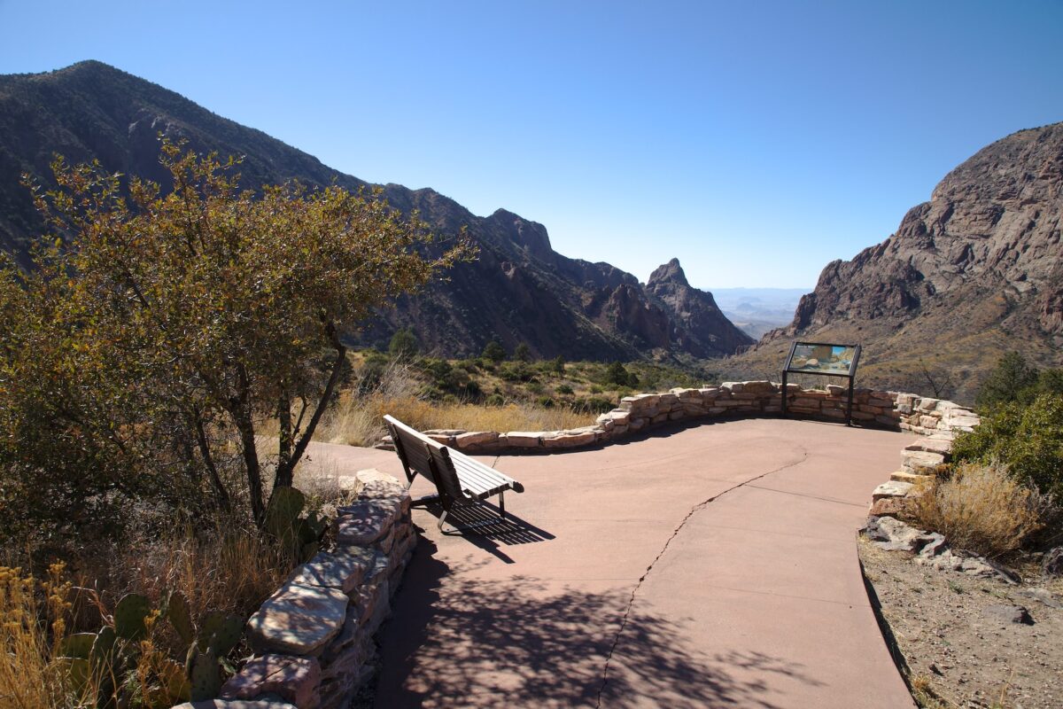
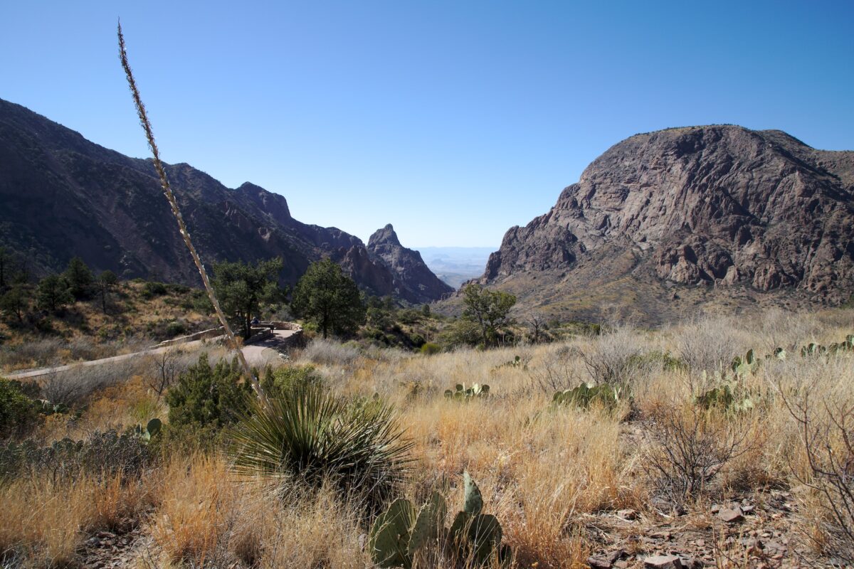
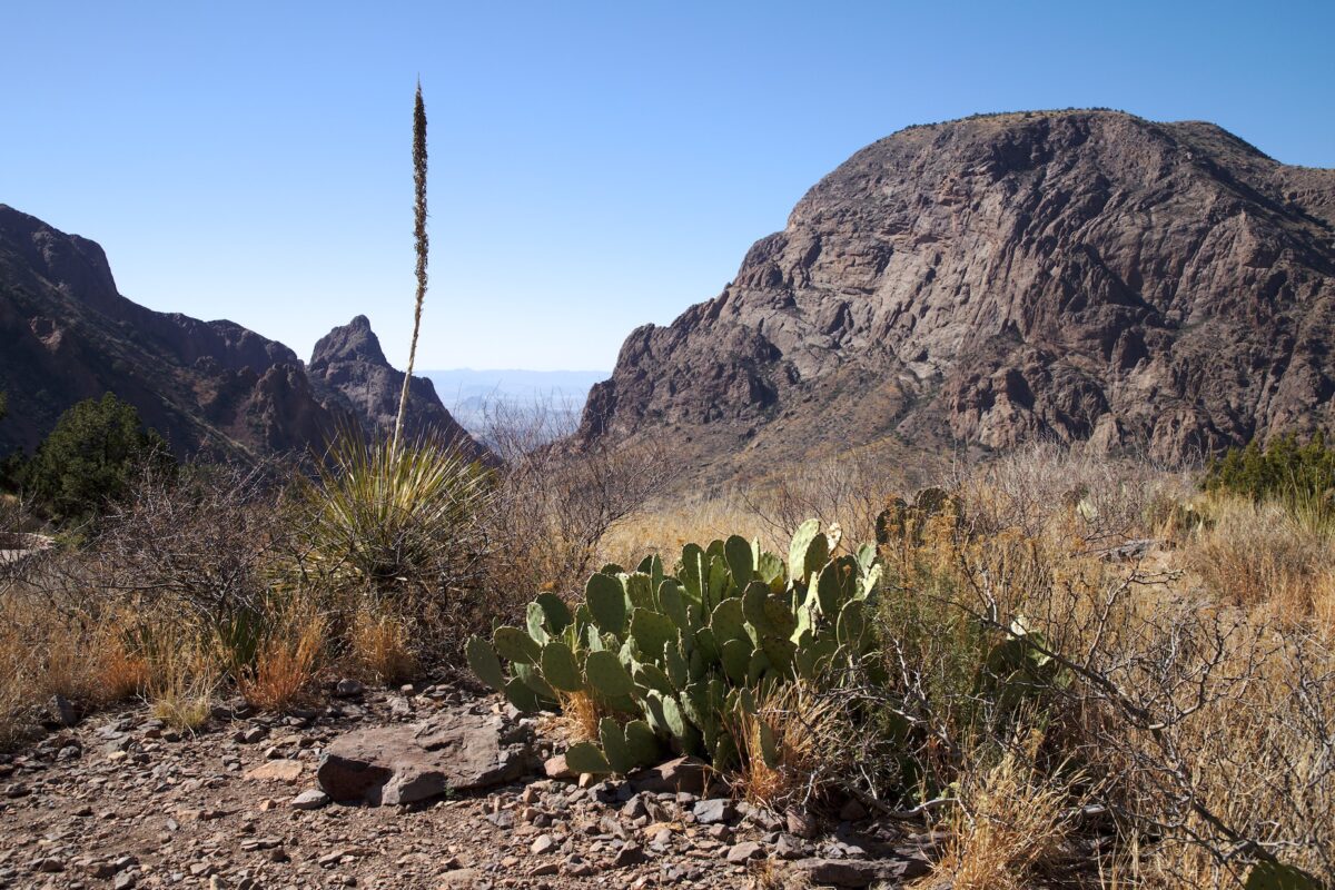
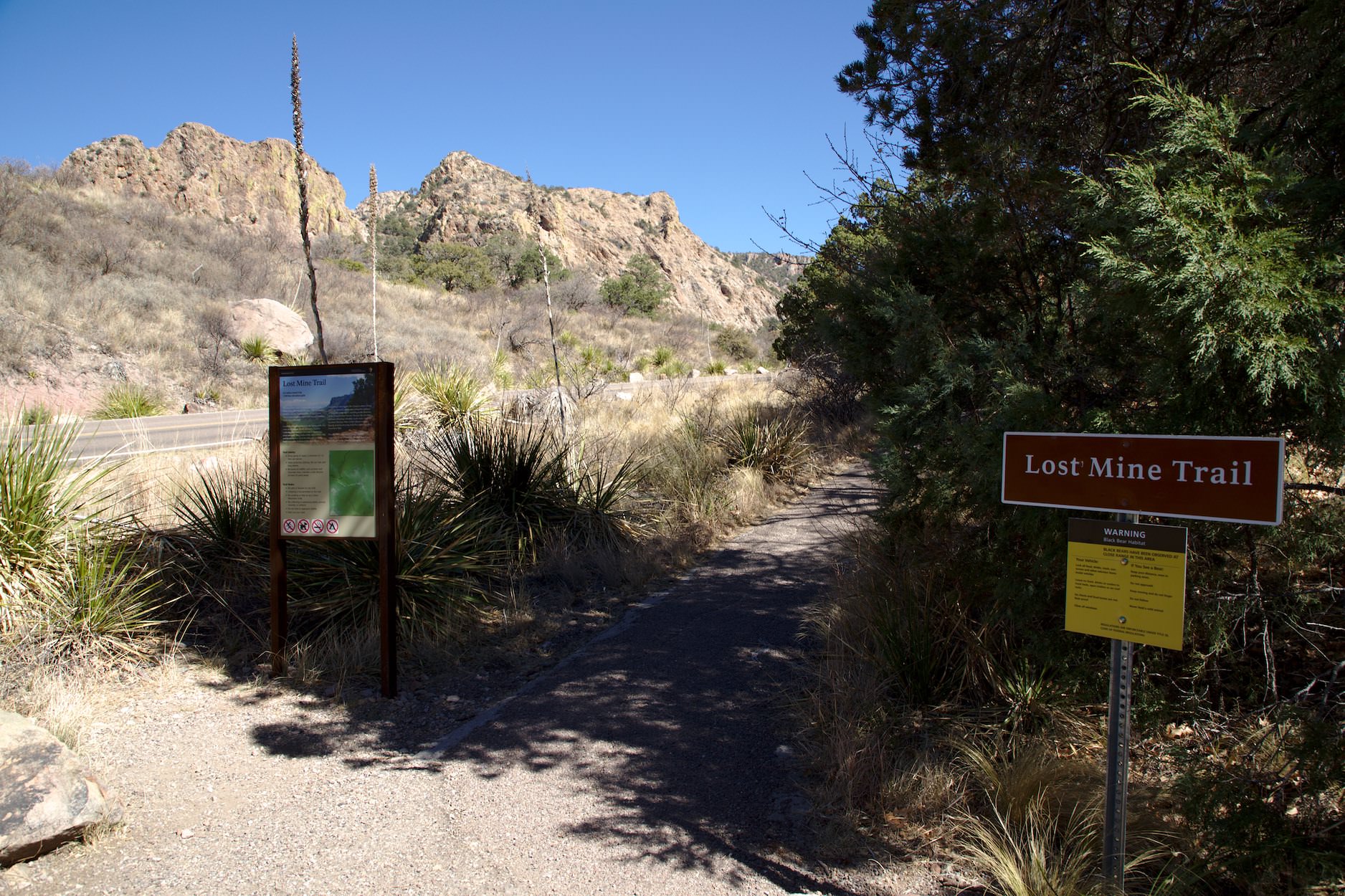
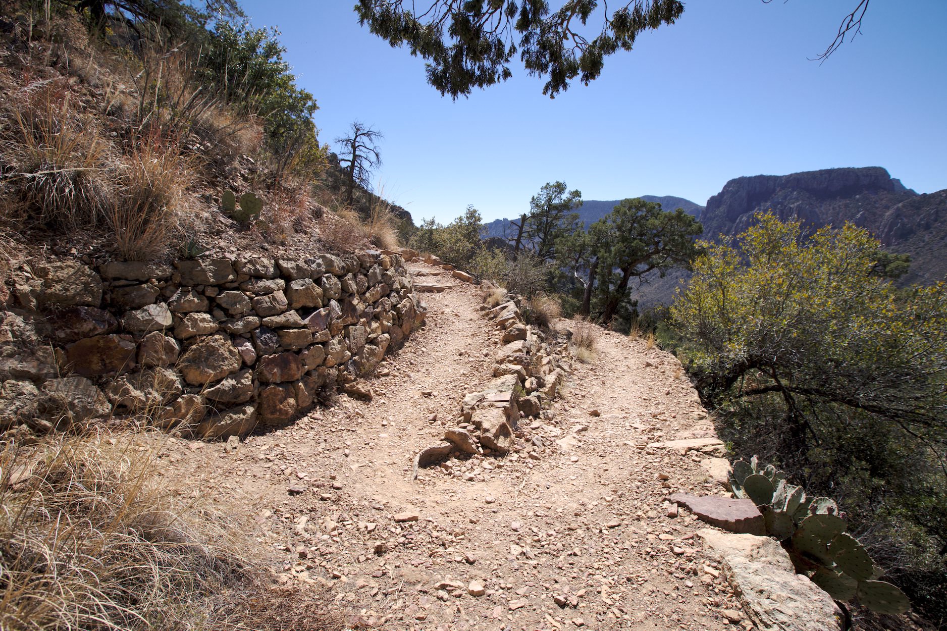
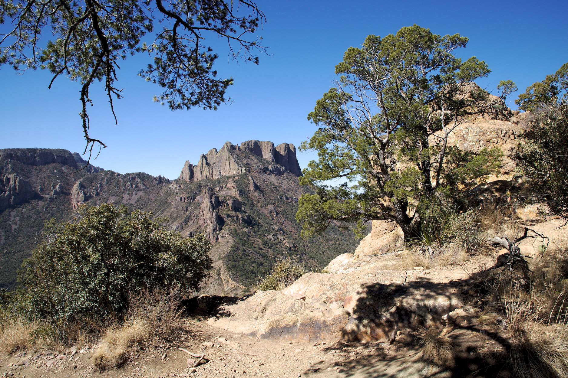
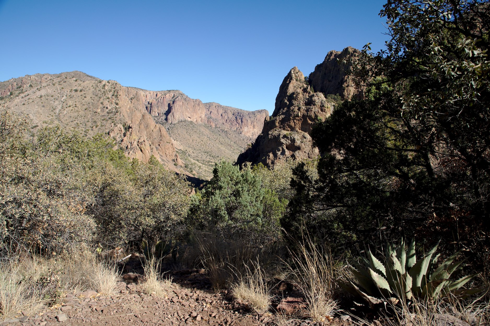
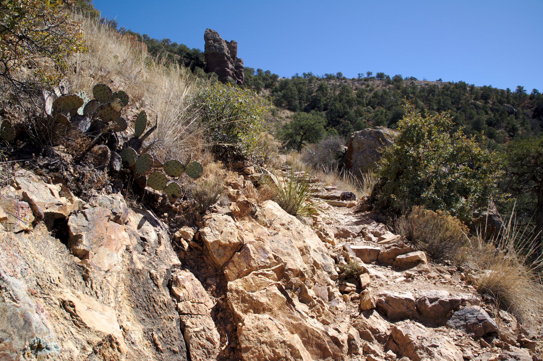
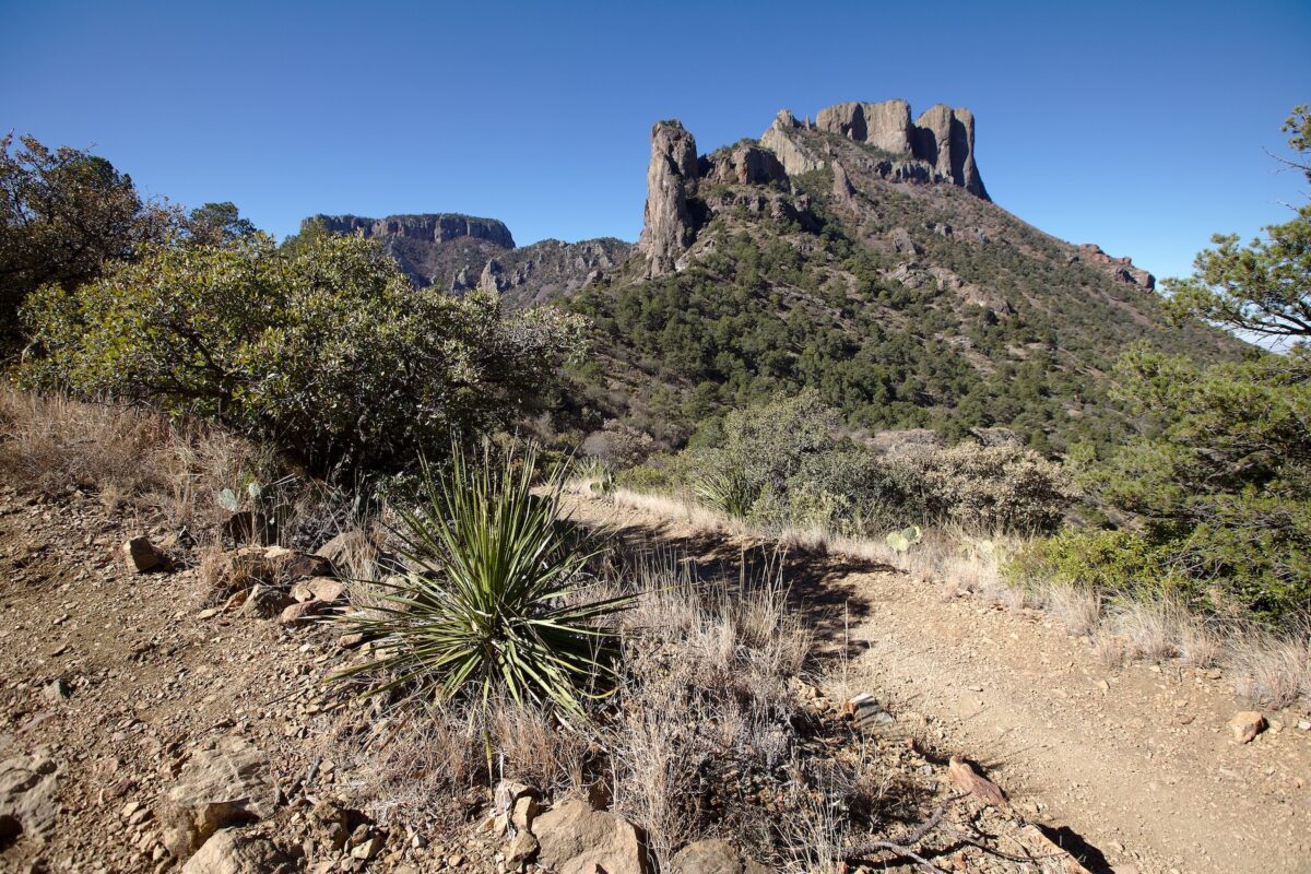
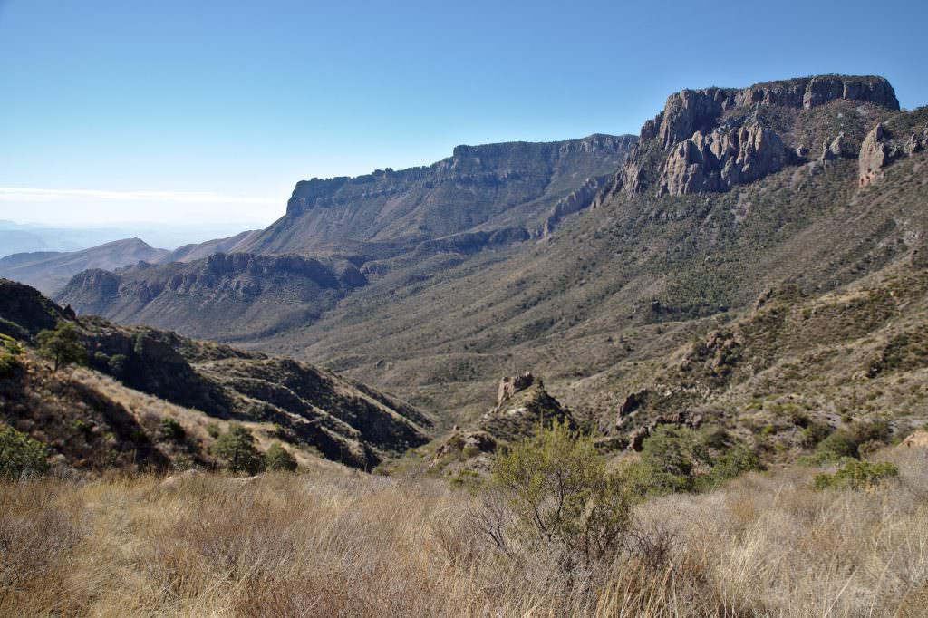
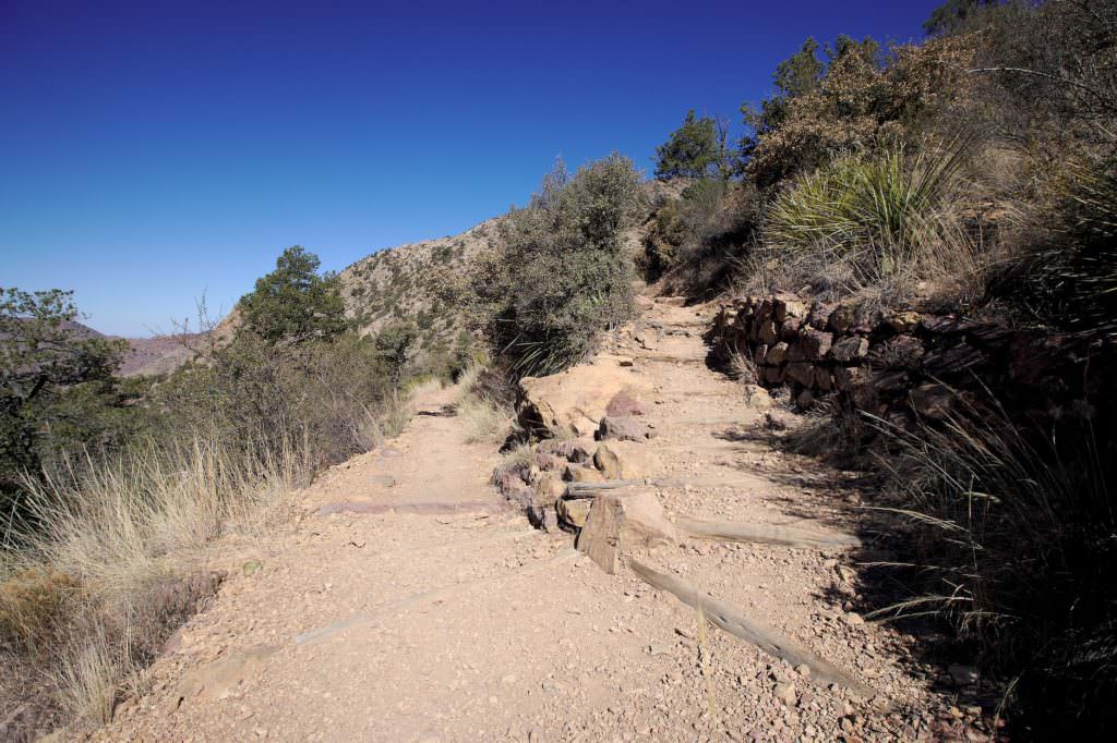
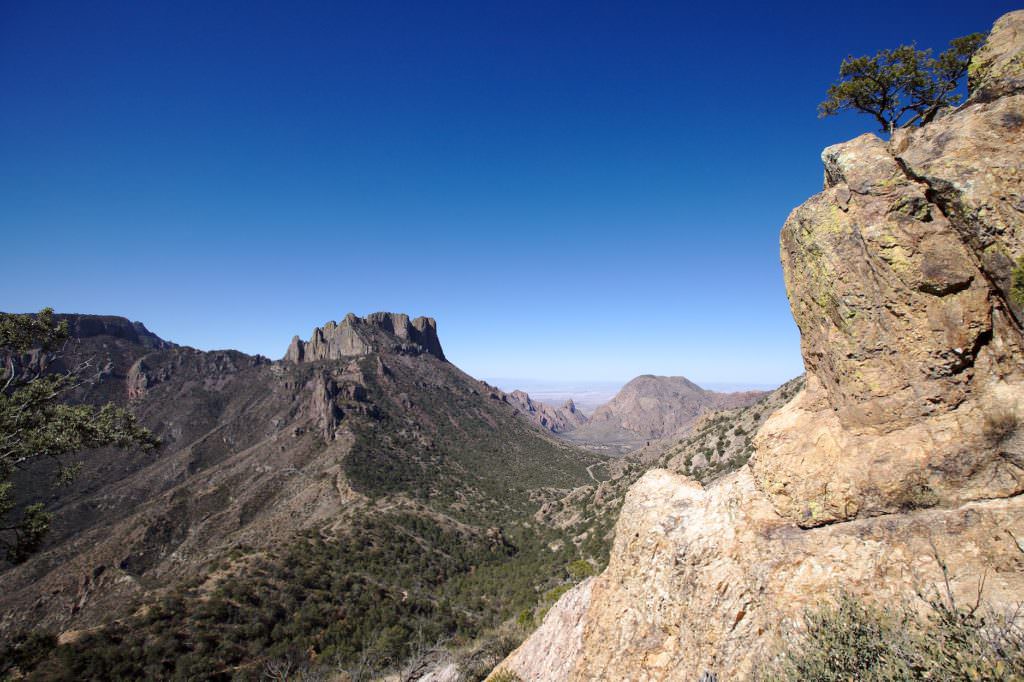
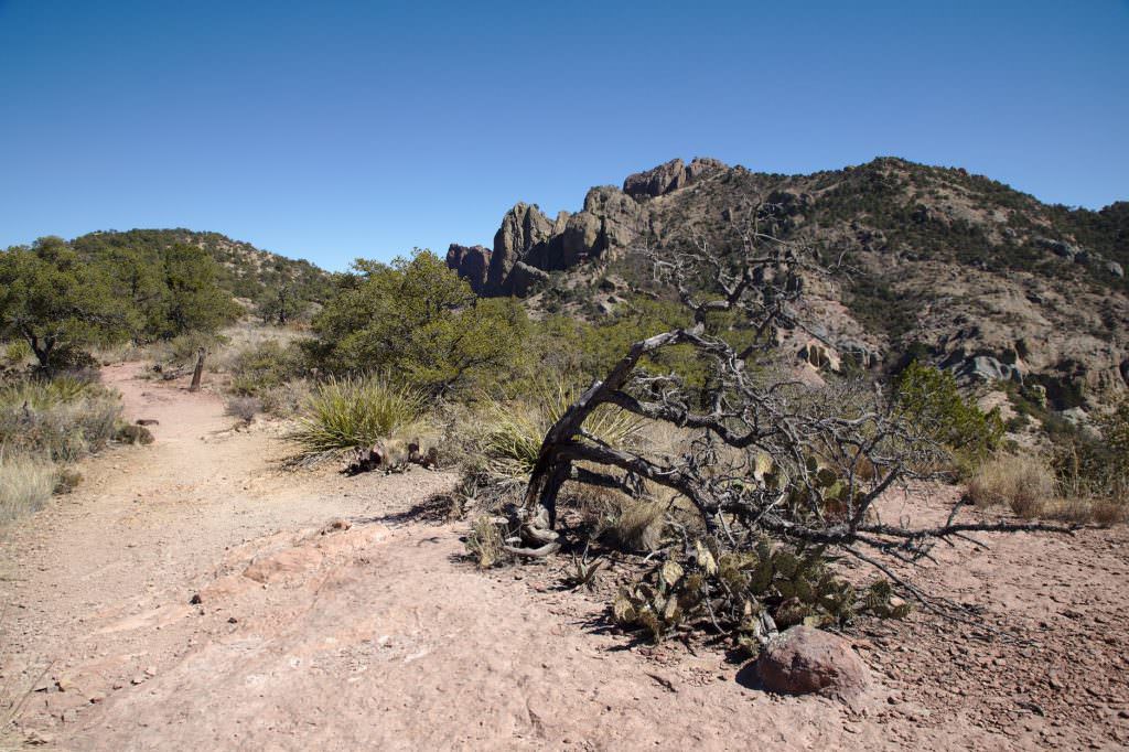
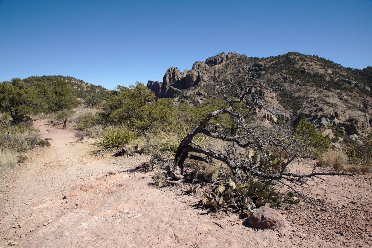
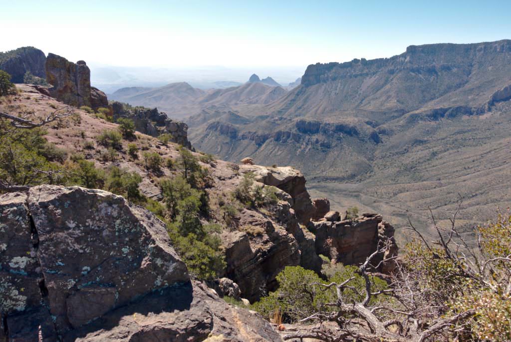
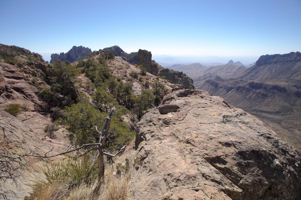
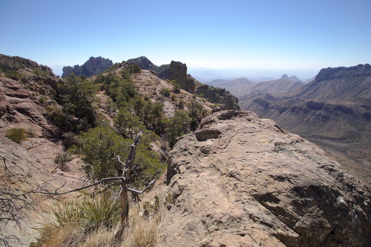
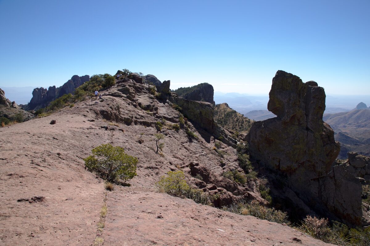
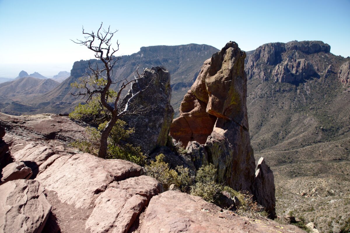
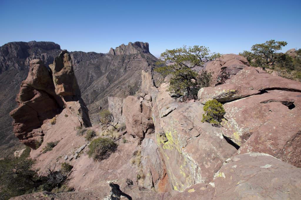
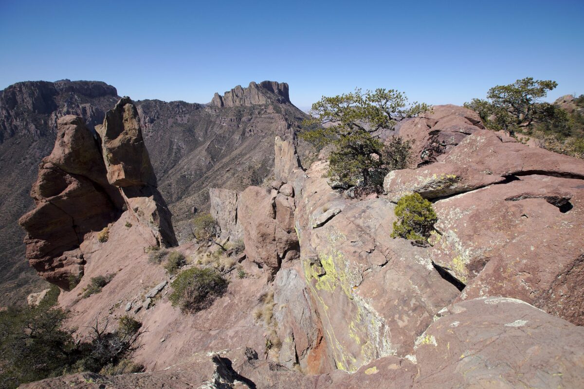
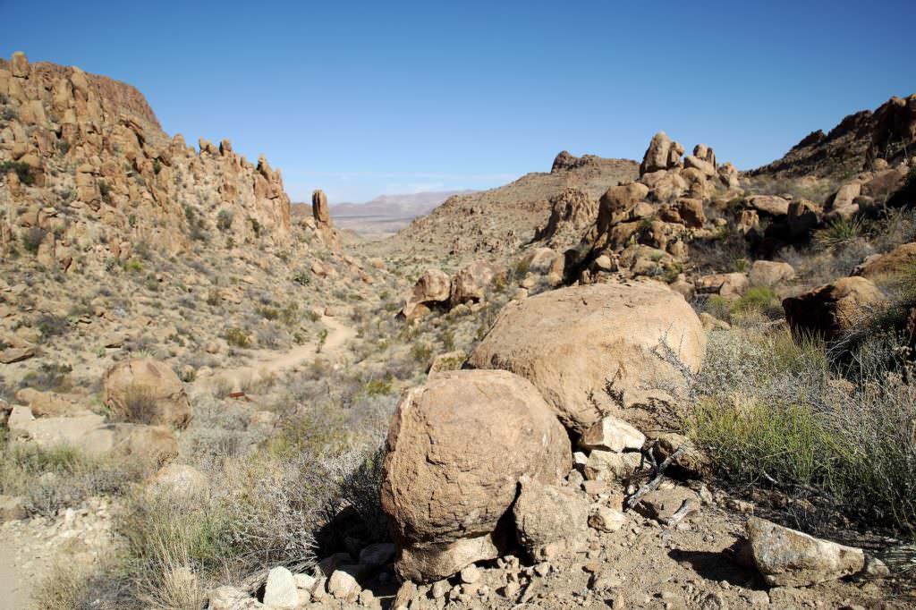
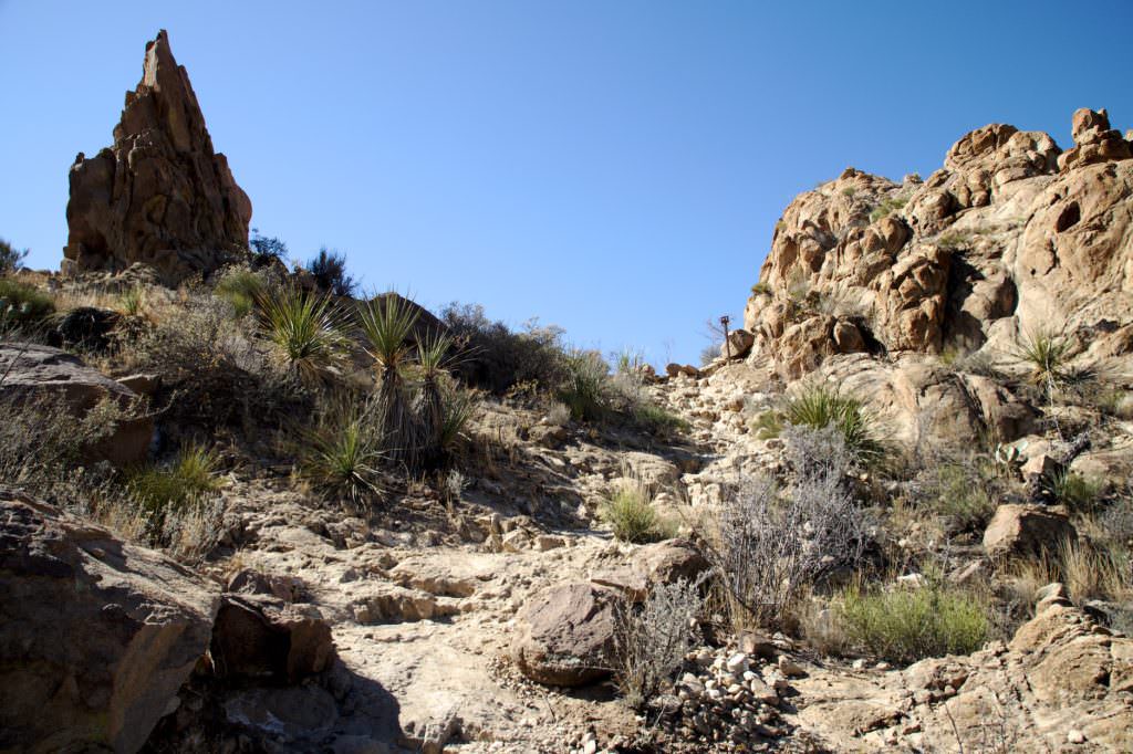
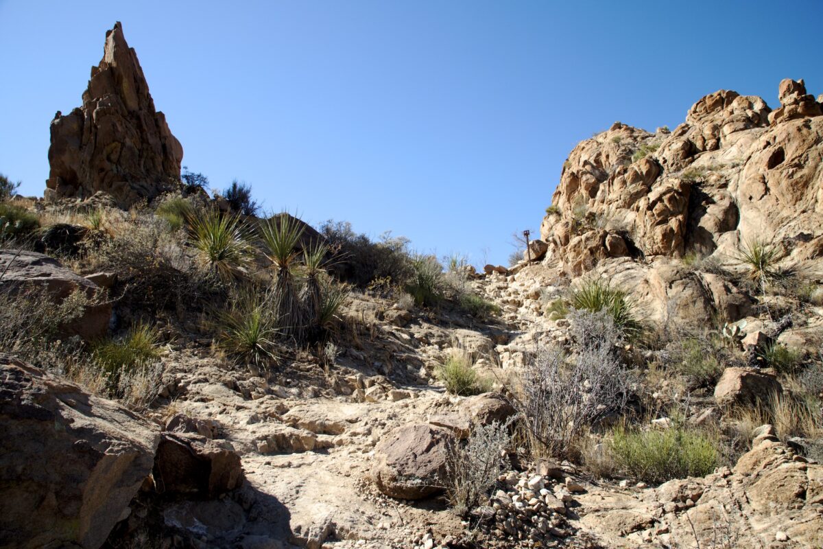
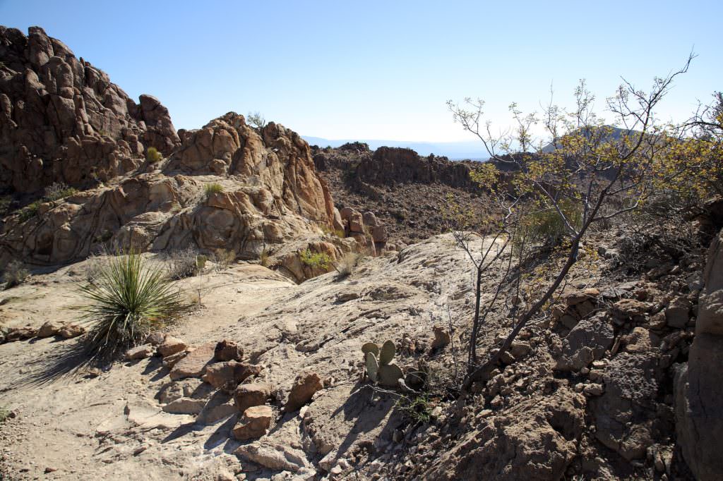
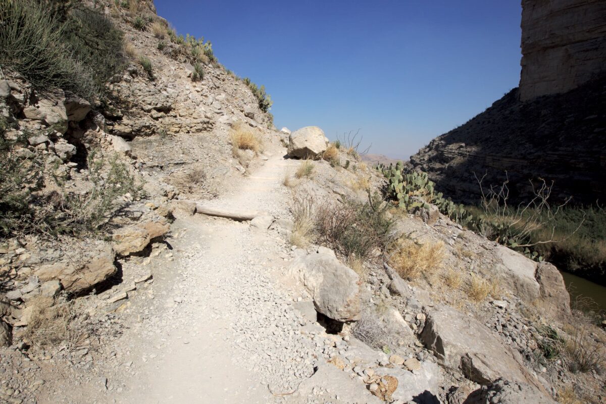
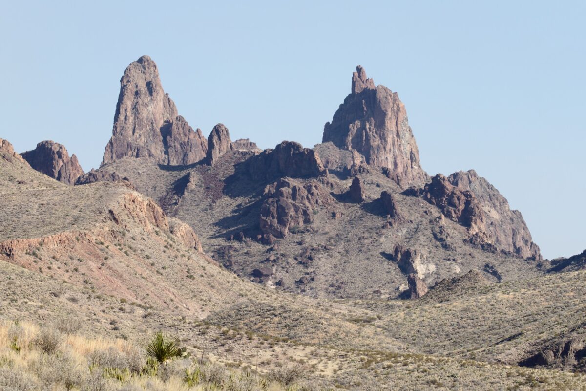
Lost Mine Trail
Description: The trailhead is about a mile east of Chisos Mountain Lodge. It leads up into the mountains. At first the trail heads through the forest, but after a short time you reach a ridge and from there you have great views of the valley and surrounding mountains the rest of the way. The trail is well developed and easy to hike. Only on the last half mile it becomes stonier and you have to take a bigger step once or twice. The whole time the path is uphill and so it is accordingly a little exhausting.
Our rating:We liked the Lost Mine Trail very much. We found it very varied and we enjoyed the views very much.
There are two more notes for those who are traveling in the high season. Since the temperatures are not yet so high in spring, there are a lot of people here in the park. So the trail here was also very well frequented. In addition, there are only about 15 parking spaces at the trailhead. These are occupied very quickly in the morning. So if you want to have a spot, you should get up early. Were at the parking lot at 8:30 a.m. and have grabbed the last place.
☆☆☆☆☆Bewertet mit 4 von 5
Lost Mine Trail
Lost Mine Trail
Lost Mine Trail
Lost Mine Trail
Lost Mine Trail
Lost Mine Trail
Lost Mine Trail
Lost Mine Trail
Lost Mine Trail
Lost Mine Trail
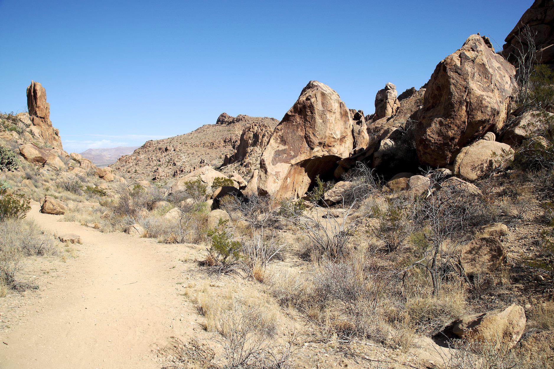
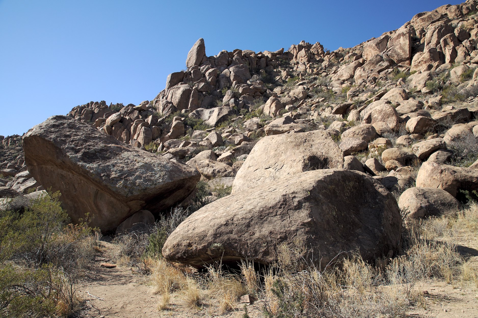
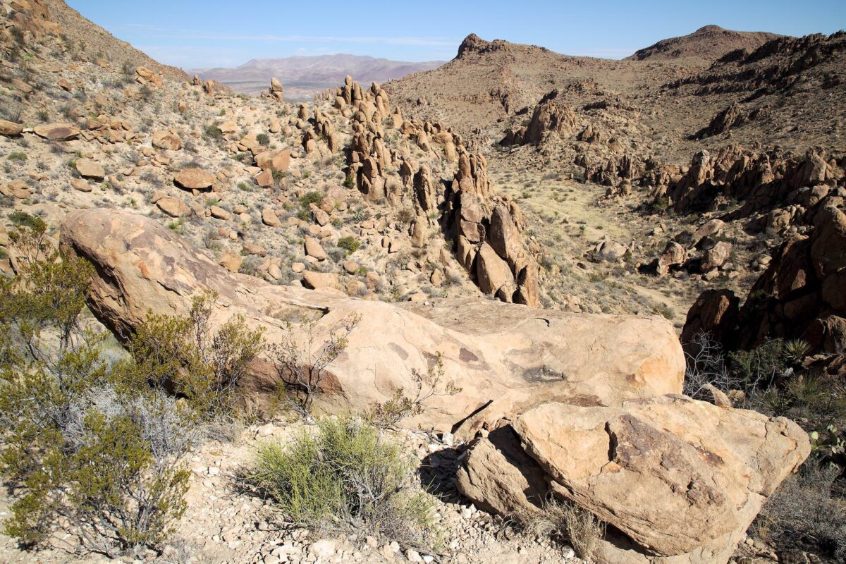
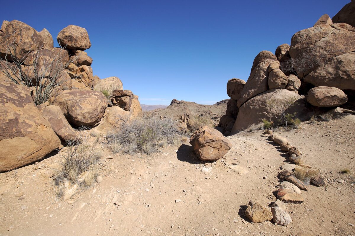
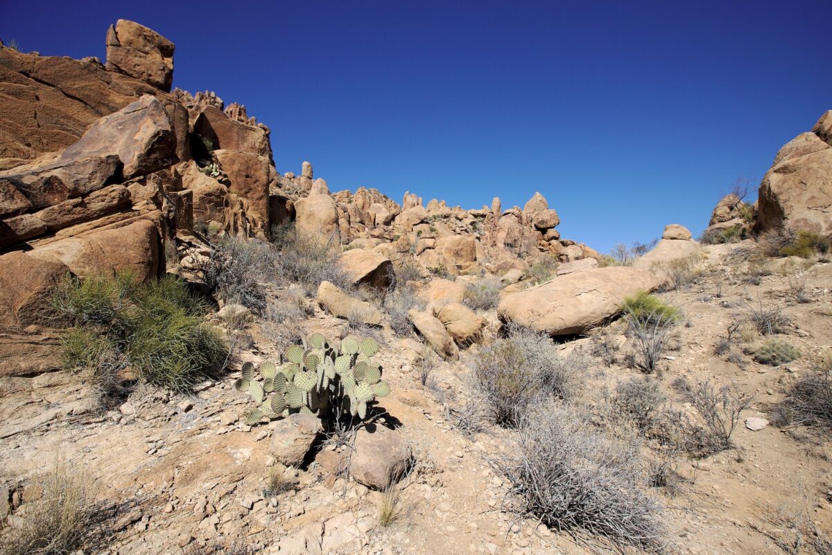
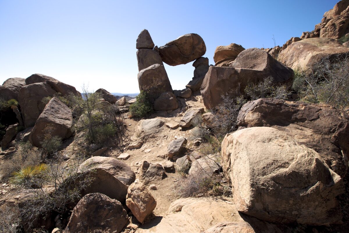
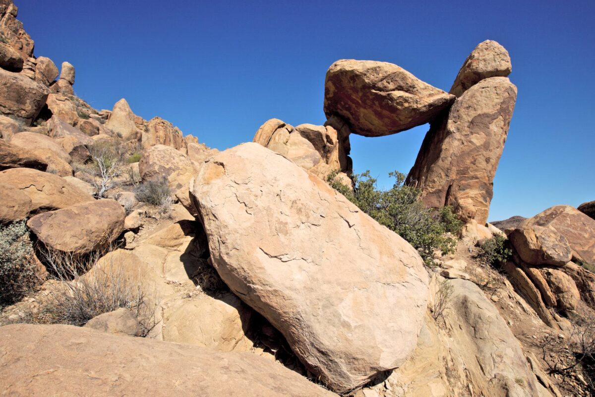
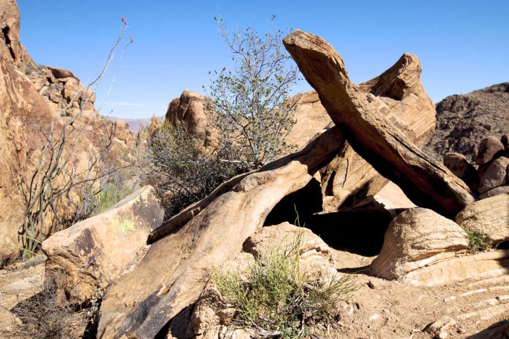
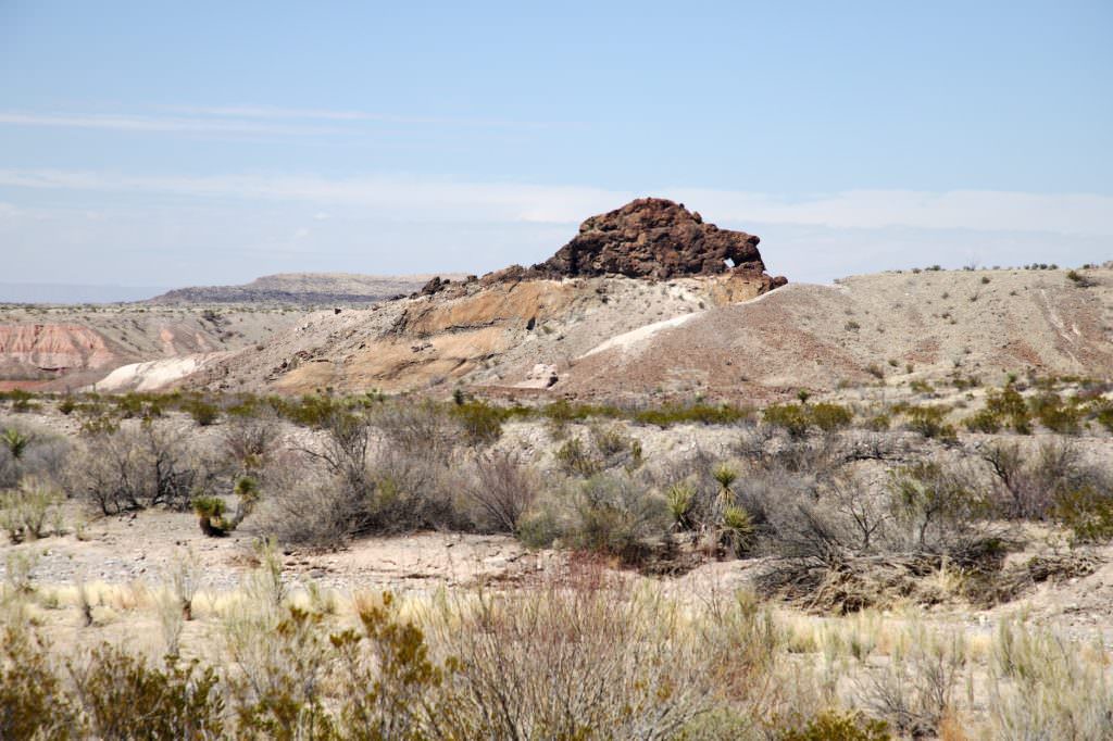
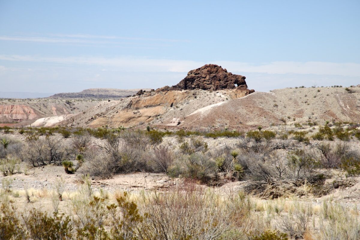
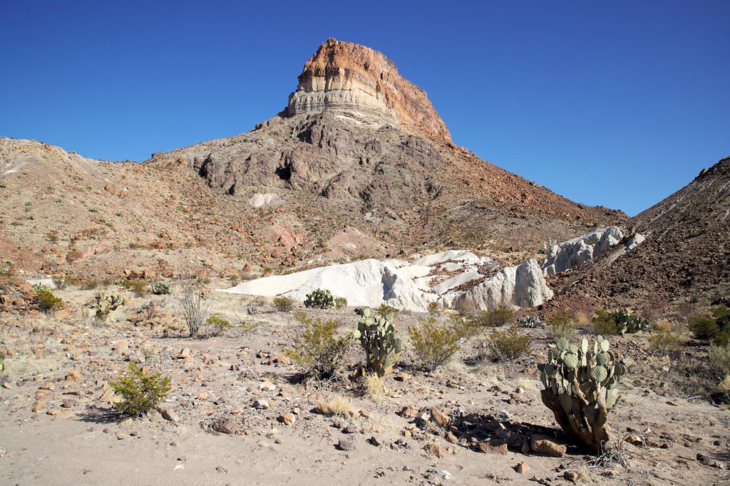
Grapevine Hills Trail
Description: The trailhead for the Grapevine Hills Trail is about 13mi north of Chisos Mountain Lodge. About half of the drive is on a dirt road. When we visited in March 2018, the road was in pretty passable condition. Higher ground clearance on the car was quite helpful. Four wheel drive was not necessary.
The hike is actually quite easy. The path is well developed and also runs relatively flat at first. Only shortly before you reach the Balanced Rock, you have to climb a short, but quite steep mountain. Shortly after that you reach the stunning rock.
Trail length: 2.2mi Altitude difference: 240ft Time needed: 1-2 hours Difficulty level:easy to moderate - The trail is well maintained and easy to hike except for the last few hundred meters.
Our rating: A fairly short and not very difficult hike that is not so spectacular at first. In the last third, however, it is varied and offers beautiful views and a great balancing rock. We liked the hike a lot.
☆☆☆☆☆Bewertet mit 3.5 von 5
Grapevine Hills Trail
Grapevine Hills Trail
Grapevine Hills Trail
Grapevine Hills Trail
Grapevine Hills Trail
Grapevine Hills Trail
Grapevine Hills Trail
Grapevine Hills Trail
Grapevine Hills Trail
Grapevine Hills Trail
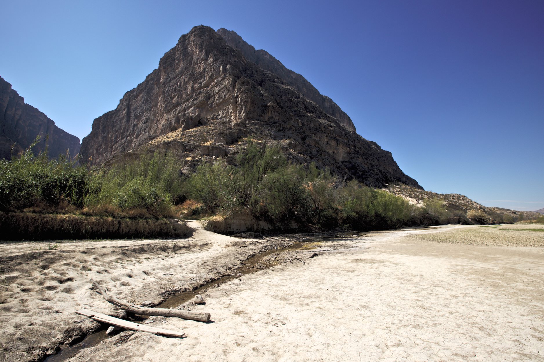
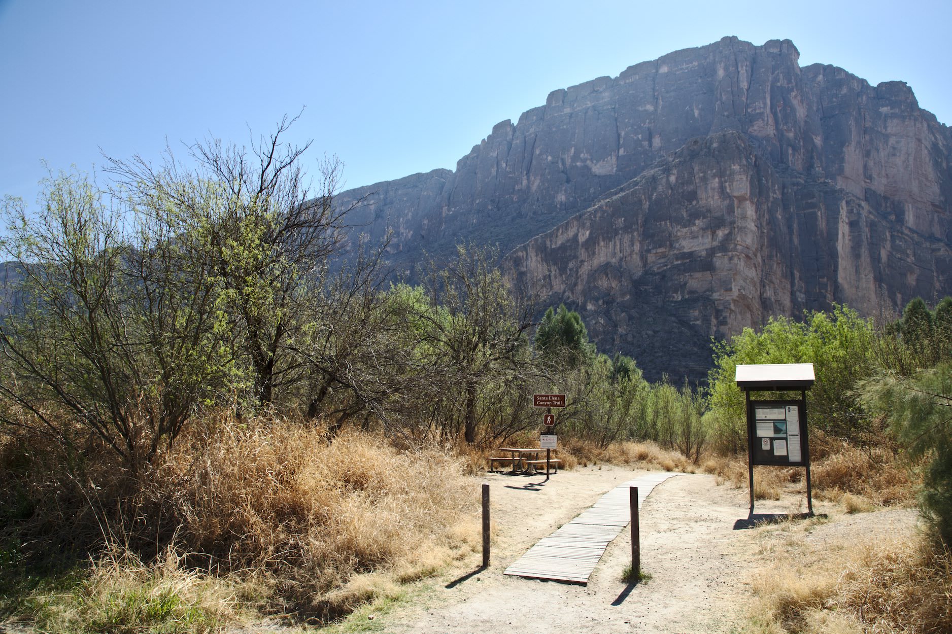
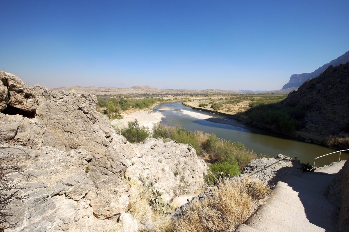
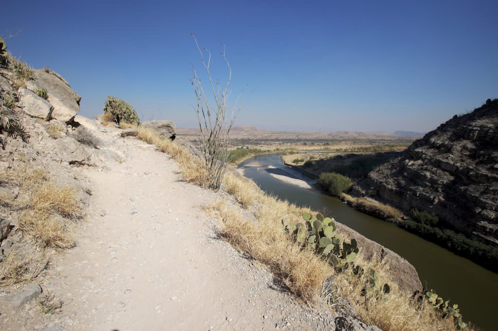
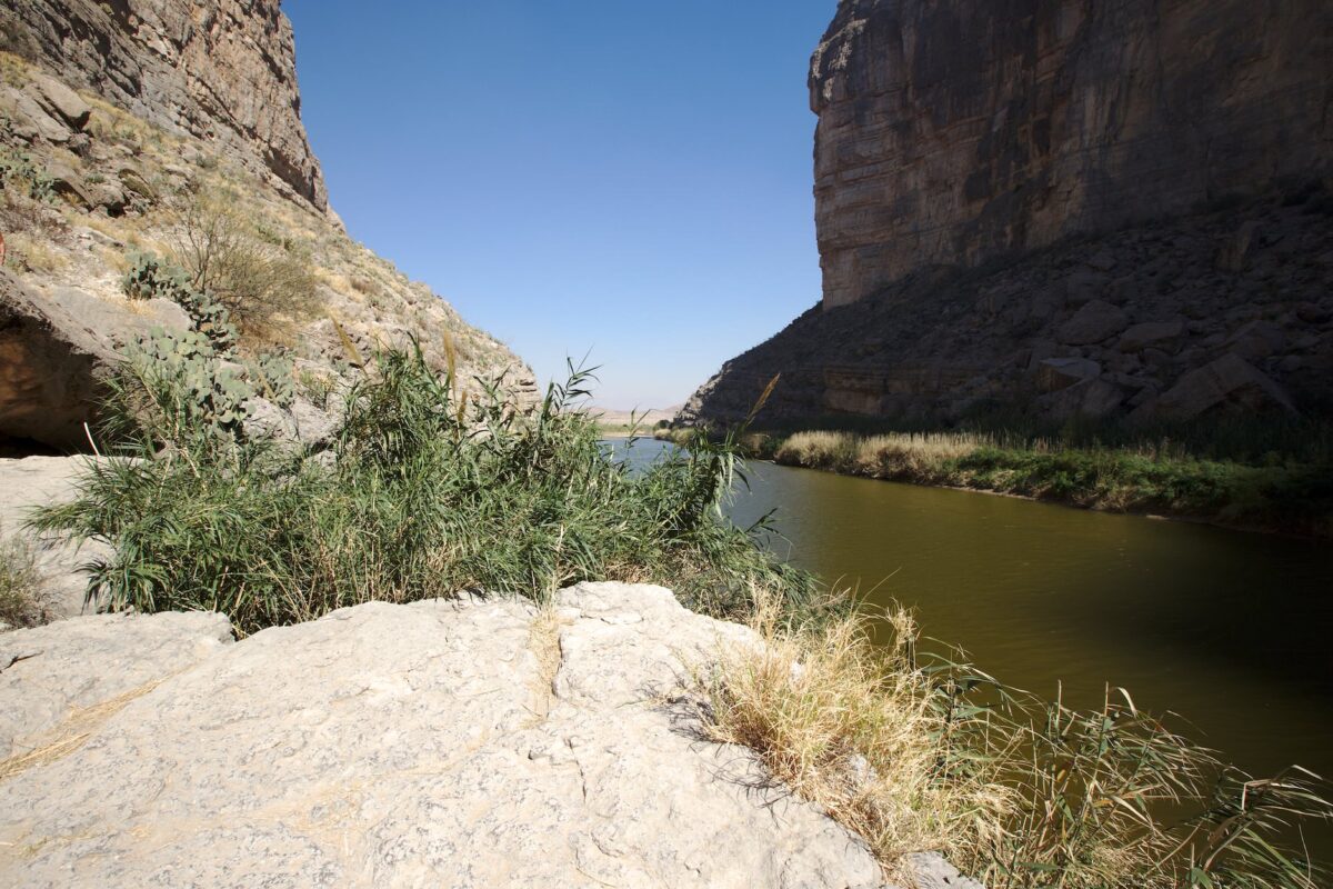
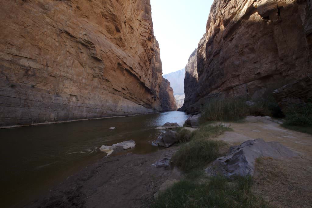
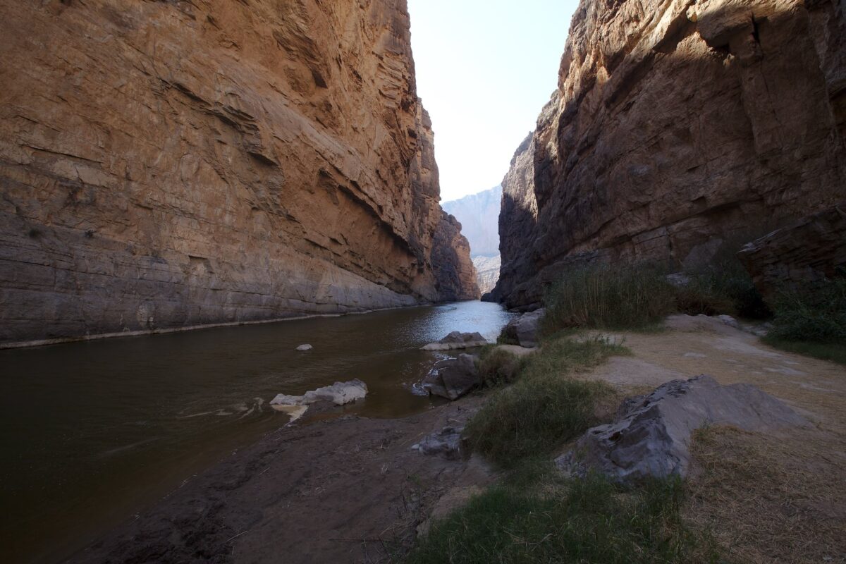
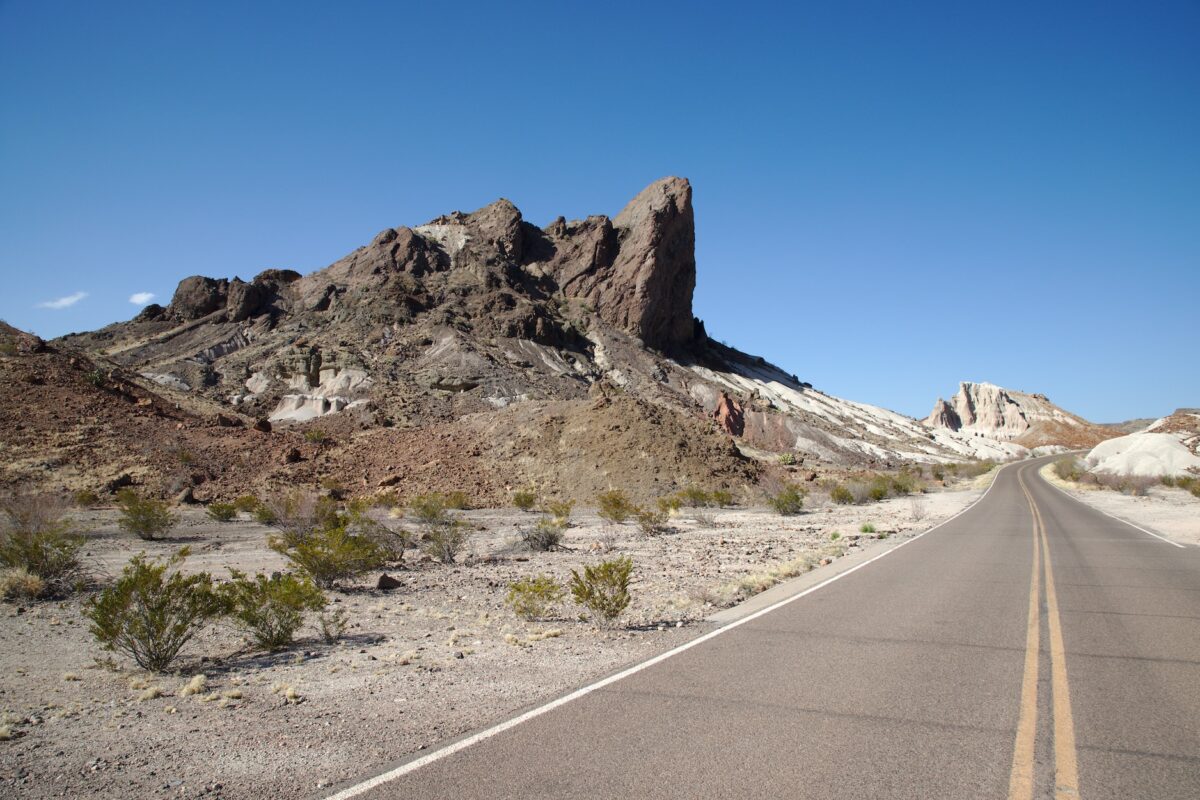
Santa Elena Canyon Overlook
Santa Elena Canyon
Description: Santa Elena Canyon is located in the far southwest of the park right on the Rio Grande. When, as during our March 2018 visit, Terlingua Creek has virtually no water, the trail is very easy to hike. There are only a few steps to climb at the entrance to the canyon, otherwise the trail is level.
Sometimes, however, Terlingua Creek carries a lot of water. Then you either enjoy the view from a distance. Or you wade through the more or less high water.
Once you have crossed the creek, you can walk a few hundred meters into the canyon.
Our rating: Santa Elena Canyon was a nice sight. The high, steep canyon walls are very impressive and shows once again impressively what power water has. Here, the Rio Grande has not only created the canyon, but it also divides the USA from Mexico. For us, this also made the place additionally interesting, because the Rio Grande carried so little water that one could cross the border almost dry-footed. Of course we didn't do that, but standing so close to the border was somehow impressive. Already in March it was very cozy warm here.
☆☆☆☆☆Bewertet mit 4 von 5
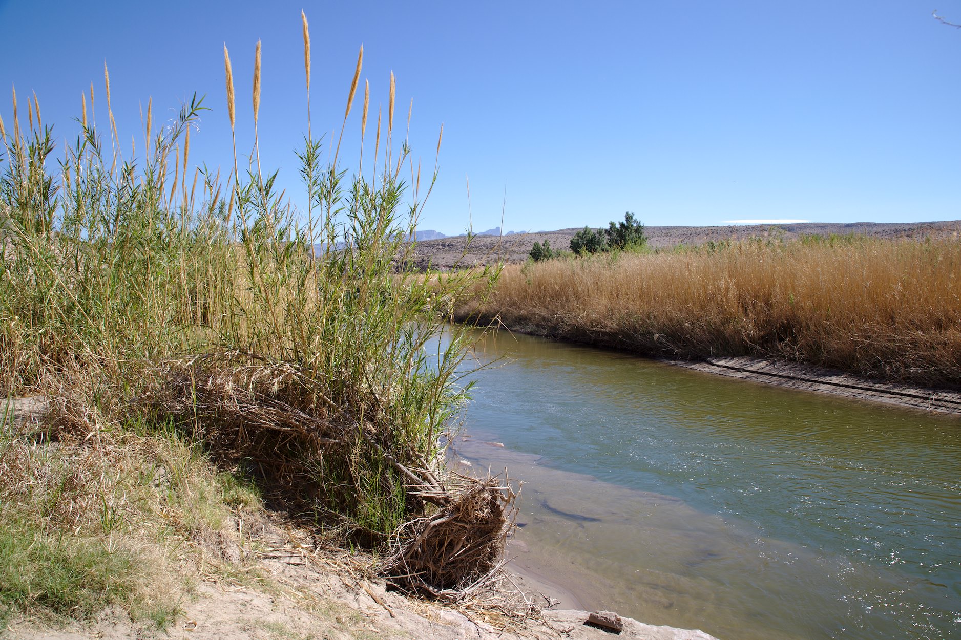
Terlingua Creek was only a trickle in March 2018. However, it often carries so much water that it is not possible to cross it on dry feet.
Trailhead Santa Elena Canyon
Santa Elena Canyon Trail
The Rio Grande, which was not really "grande" in March 2018.
Santa Elena Canyon Trail
Santa Elena Canyon Trail
Santa Elena Canyon Trail
Santa Elena Canyon Trail
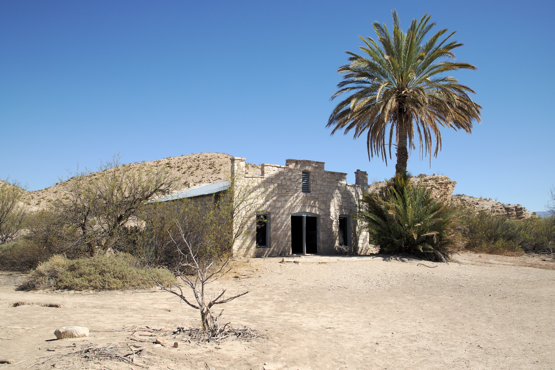
Hot Springs Trail
Description: The hot springs are located in the southeast of the park, directly on the Rio Grande on the border with Mexico. It is a former hot springs resort established in 1909 by J.O. Langford. The latter was looking for a cure for his malaria when he heard about the hot springs here. Subsequently, the Hot Springs became the first tourist attraction in the area. In 1971, the Hot Springs were added to the National Register of Historic Places. From the parking lot, the way leads past the old buildings of the former baths to the hot springs. The path leads directly along the Rio Grande and you can always have a look over to Mexico. If you want, you can still take a bath in the hot springs in the pool created by Langford. We were here in March 2018 and it was already a good 30 degrees warm.
Our rating: Quite nice, but this was not an absolute must see. If you don't have much time in the park, you don't really need to go here in our opinion. There are more interesting things to do.
☆☆☆☆☆Bewertet mit 2.5 von 5
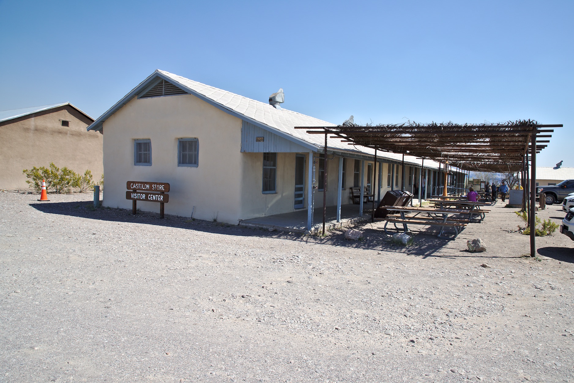
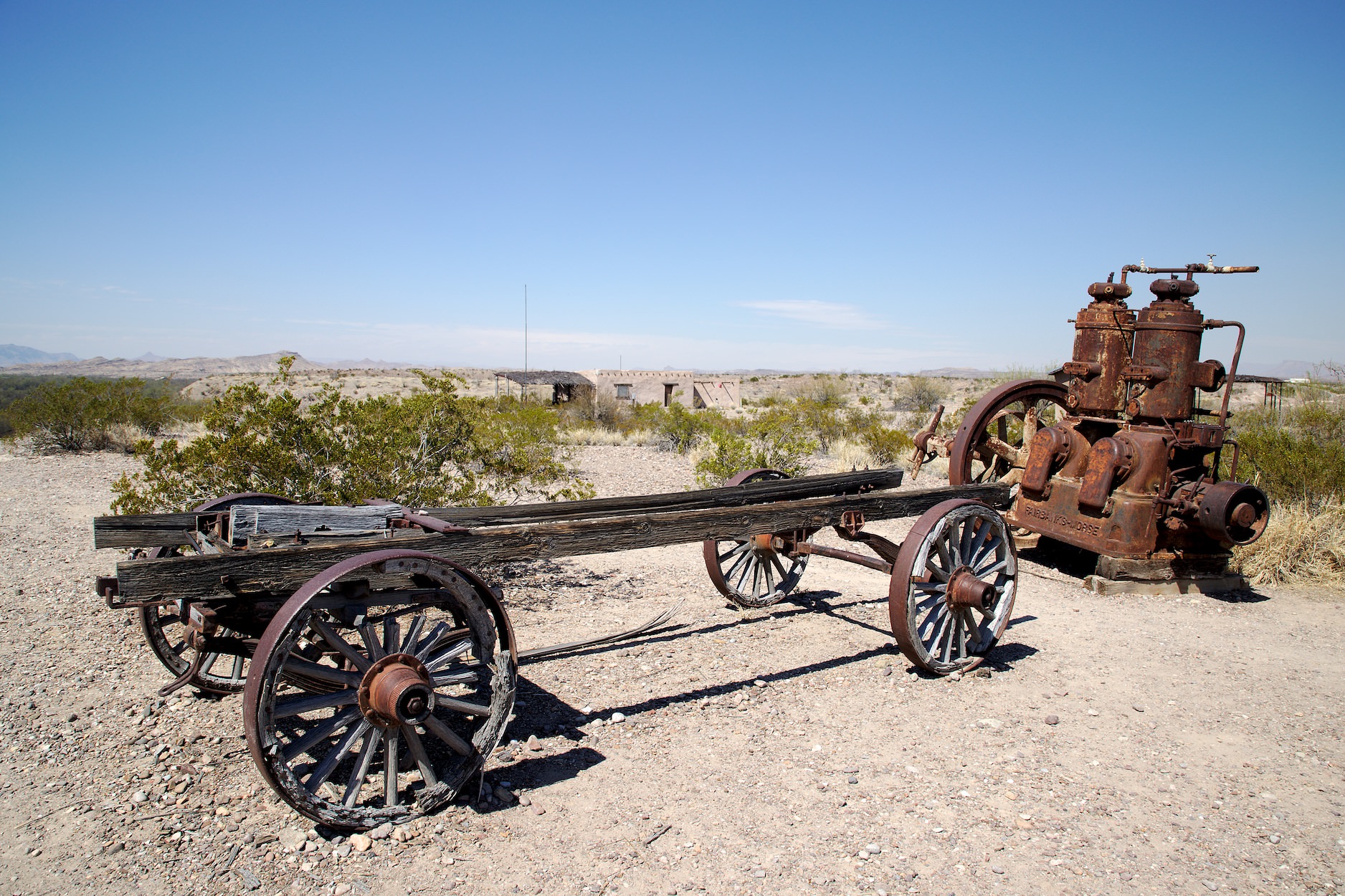
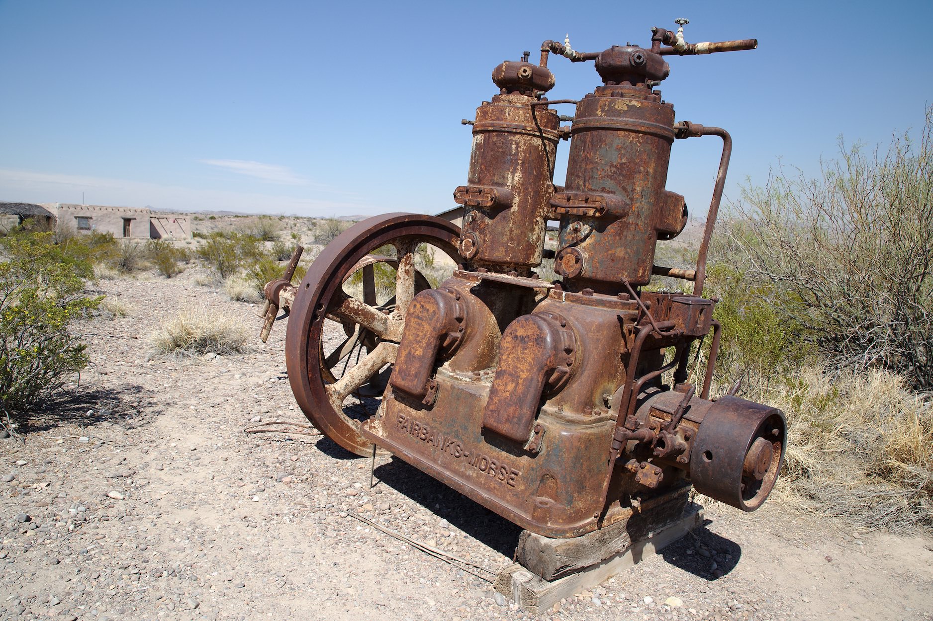
Castolon
Castolon
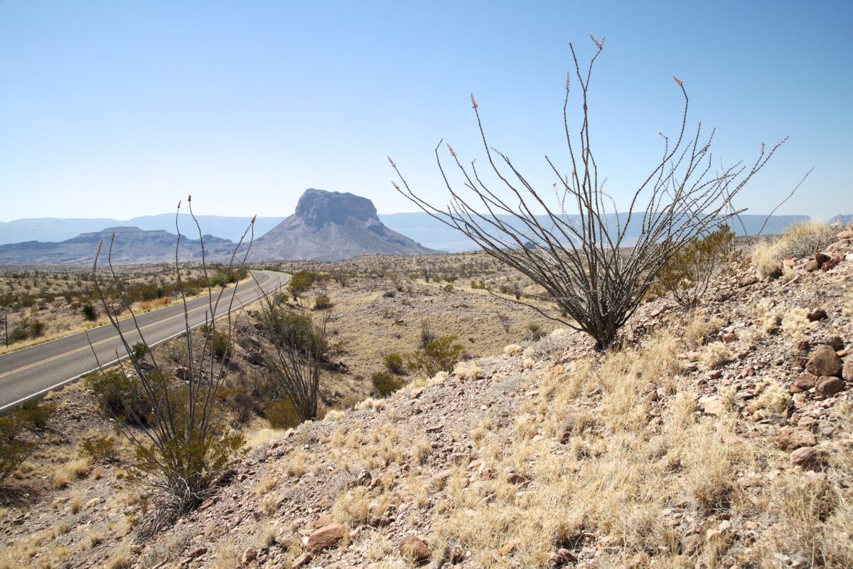
Castolon and other sights worth seeing
Description: Castolon is a former military base that was built to protect the local farmers from border crossers during the Mexican Revolution. Today, in addition to the Visitor Center, you can still see numerous exhibits from that time.
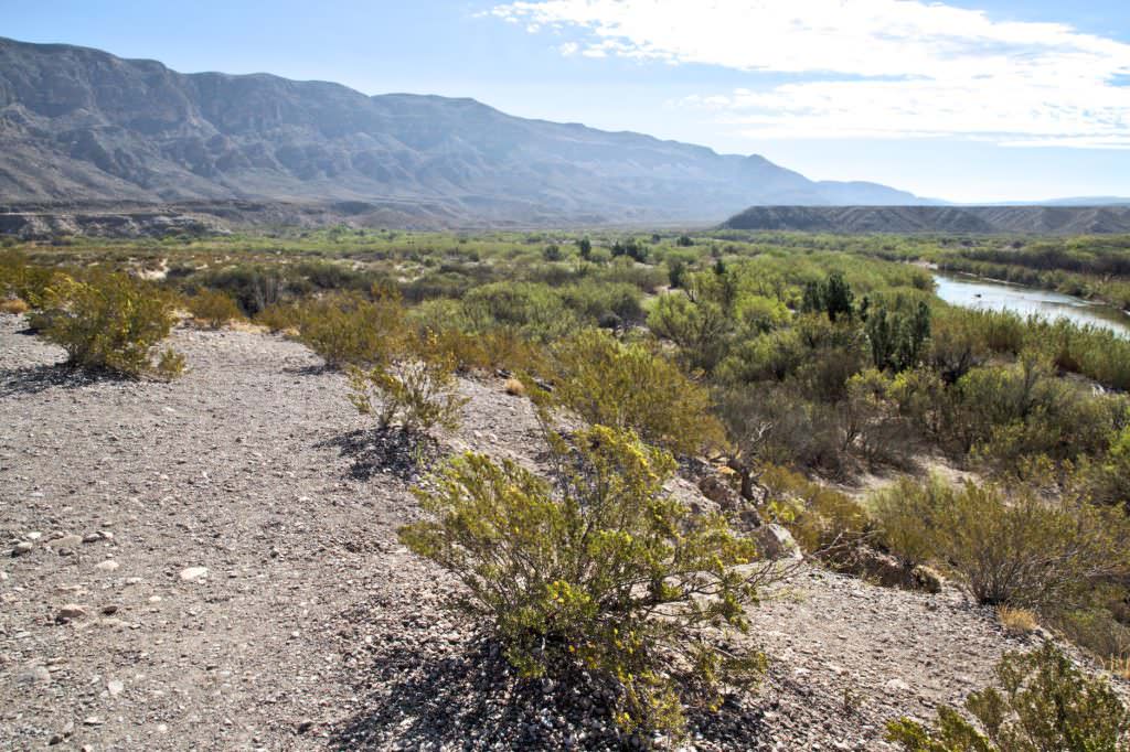
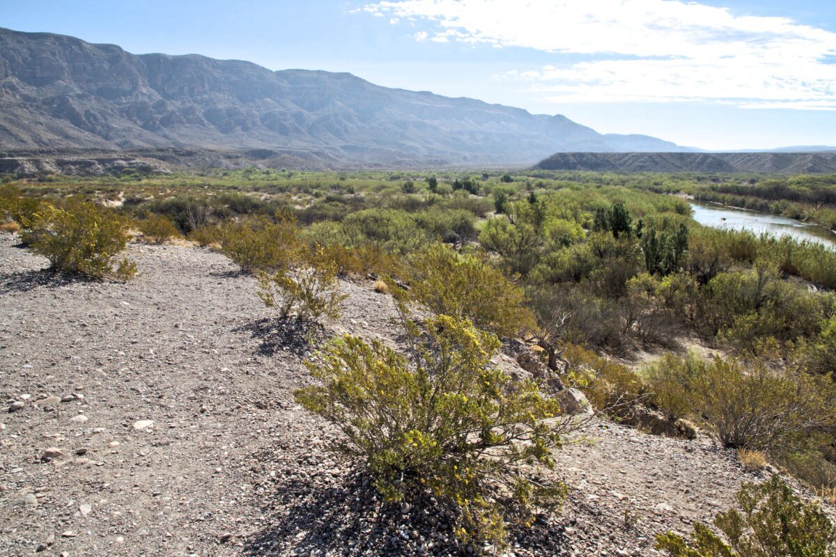
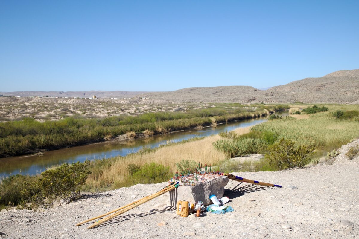
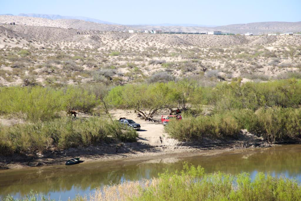
In the southwest of the park you will find the Boquillas Canyon Overlook. Here some people from Mexico cross the border to offer their goods for sale. The purchase of these souvenirs is illegal. You will find signs everywhere in the park to refrain from buying these offered goods. At such places, the gap between rich and poor becomes very clear.
Our rating: We do not know exactly why, but for a long time we had avoided the Big Bend NP. Now that we have visited the park ourselves, we can really say that the Big Bend NP looks much better in person than in photos. At least that's how we felt. After all the photos we have seen of it, we had not expected much at all. But on site we found the park quite interesting and worth seeing. It is definitely worth a visit.


