Our visits: So far 2 visits in October 2010 and October 2013
Conway
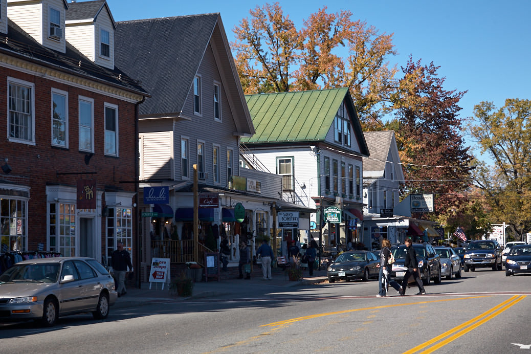
Description: Conway is a small town in the southeast of the White Mountains. Since it has by far the most infrastructure in the area, it is a good base for exploring the White Mountains. One can find numerous restaurants, stores, and most importantly, places to stay. There is also a large outlet mall, for all shopping enthusiasts.
Our rating: For us, Conway has served as a starting point for our stays in the White Mountains. The town is nice and invites to a stroll. Especially during the Indian Summer in autumn, we advise everyone to secure accommodation well in advance. Hoping to get a room spontaneously can probably be very difficult and especially very expensive.
☆☆☆☆☆Rated 3 out of 5
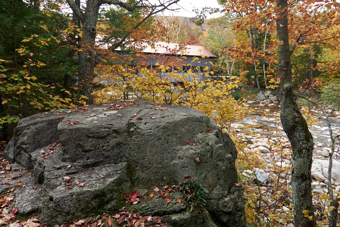
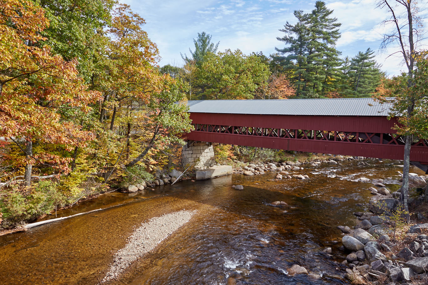
Albany Covered Bridge
Description: One of the many wooden covered bridges can be found about 7mi west of Conway, just off the Kancamagus Highway. It was built in 1858 and spans the Swift River. Since the bridge was given a steel frame in the 1980s, it can still be driven over by car today.
Coordinate: Latitude 44.005737, Longitude -71.241116. For the GPS: Passaconaway Rd, Albany, NH 03818
Our Rating: We made a quick stop at the Albany Covered Bridge in October 2013. A nice stop to stretch our legs a bit.
☆☆☆☆☆Rated 3 out of 5
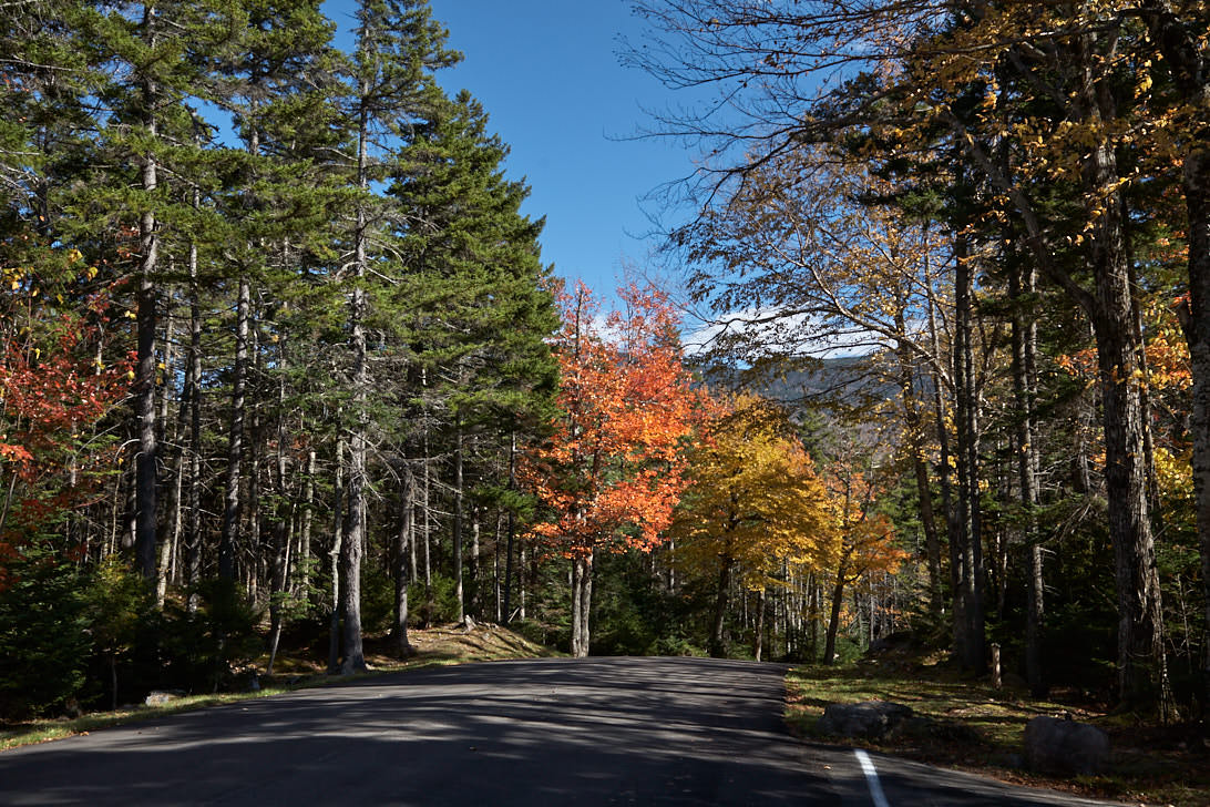
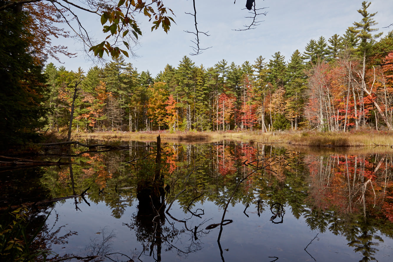
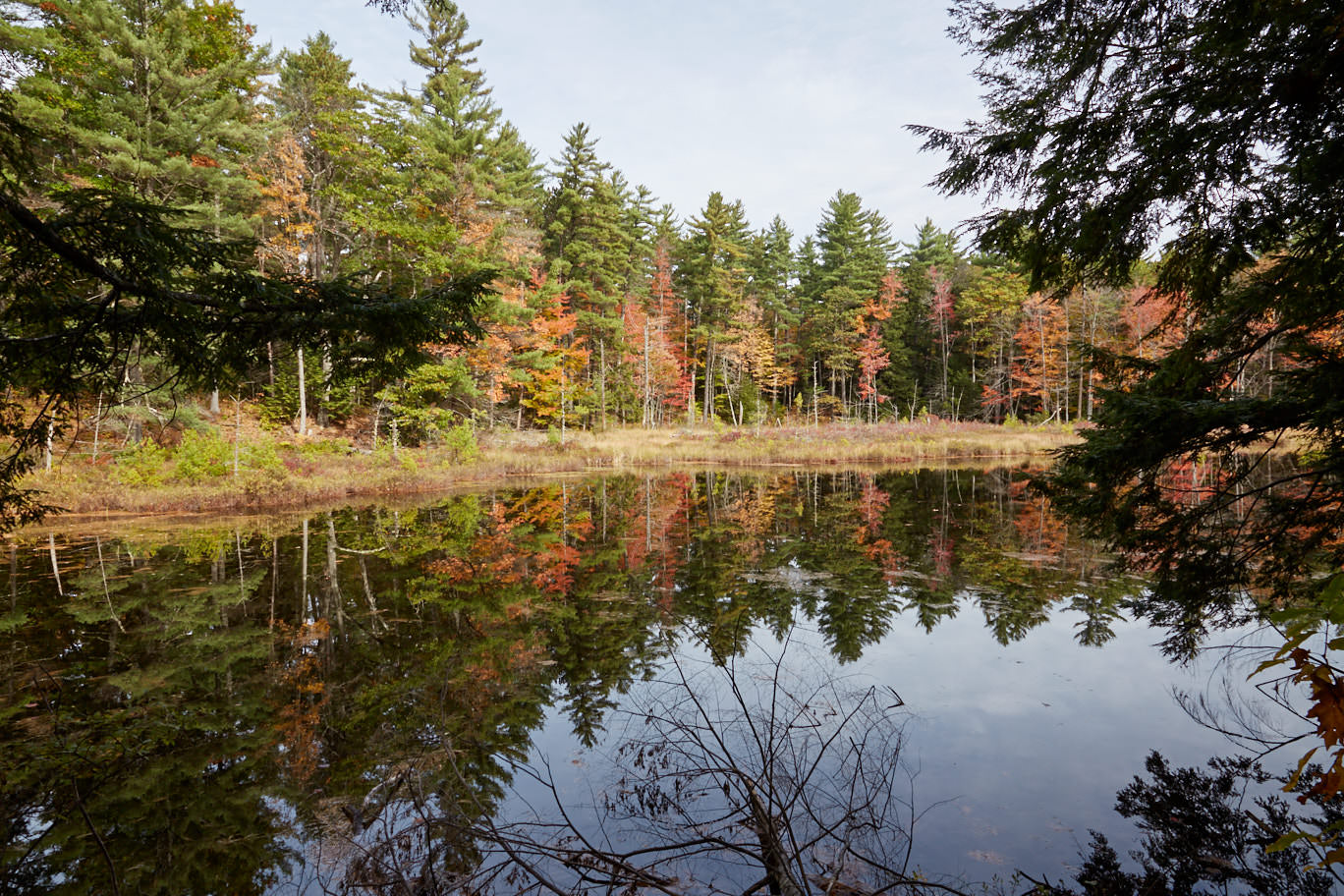
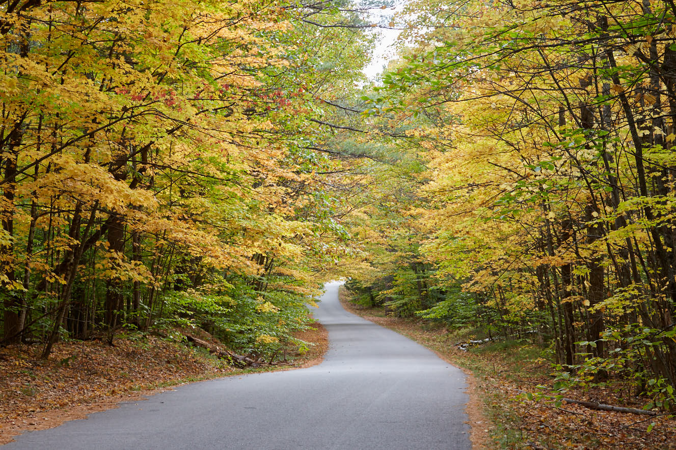
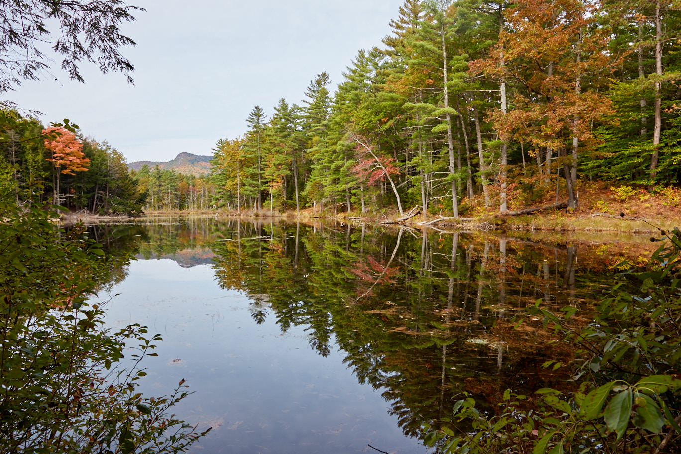
Red Eagle Pond
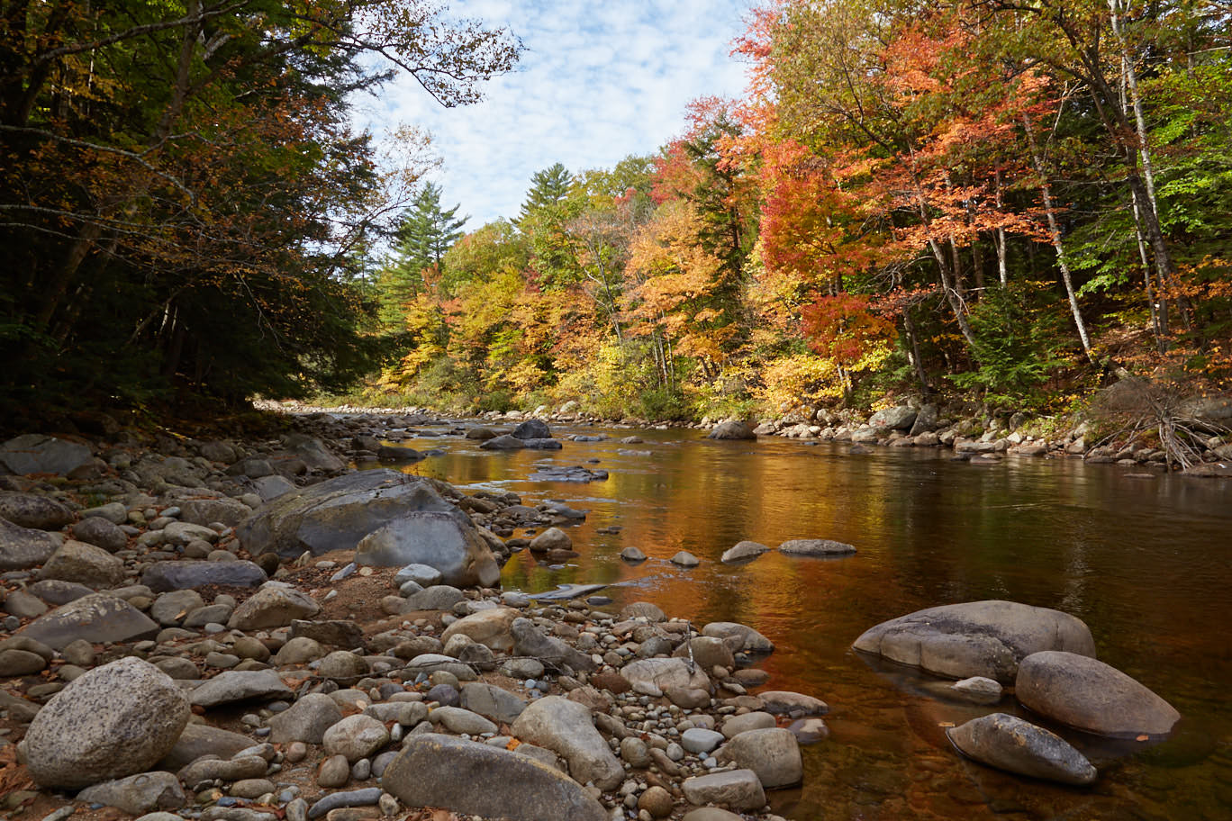
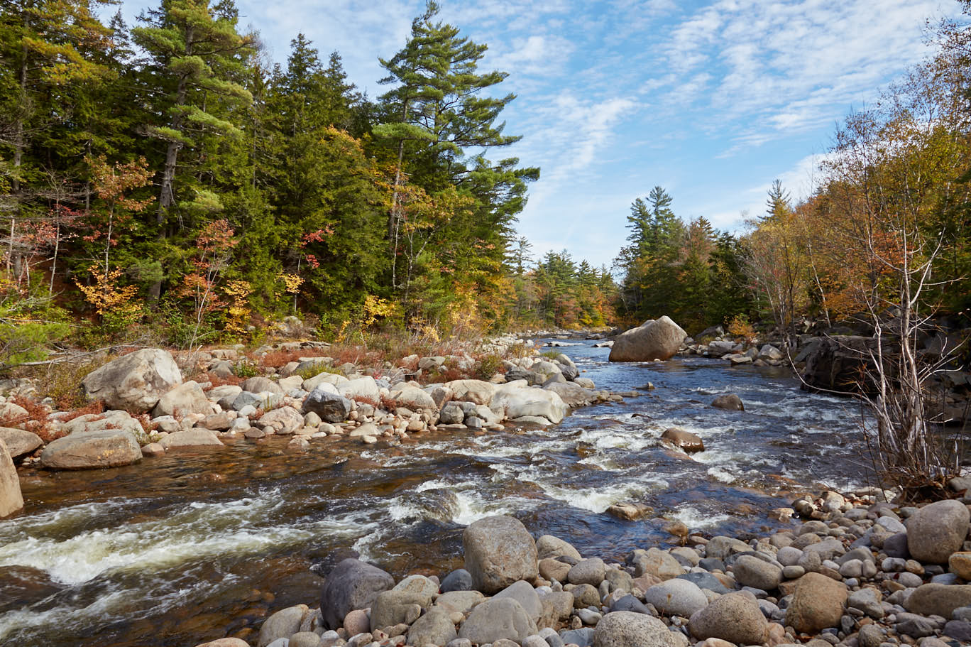
Description: If you drive over the Albany Covered Bridge and then turn right on Passaconaway Rd. back towards Conway, you will reach the small Red Eagle Pond. Since it is very sheltered, you can enjoy wonderful reflections of the colorful foliage on the mirror-smooth surface of the water, especially in autumn.
Coordinate: Breite 43.992703, Länge -71.152255.
Our Rating: Passaconaway Rd. is a great alternative when the Kancamagus Highway gets busy in the fall. Here, too, you'll find lots of colorful trees and beautiful photo opportunities. We got here rather by accident, but enjoyed the drive very much.
☆☆☆☆☆Rated 3.5 out of 5
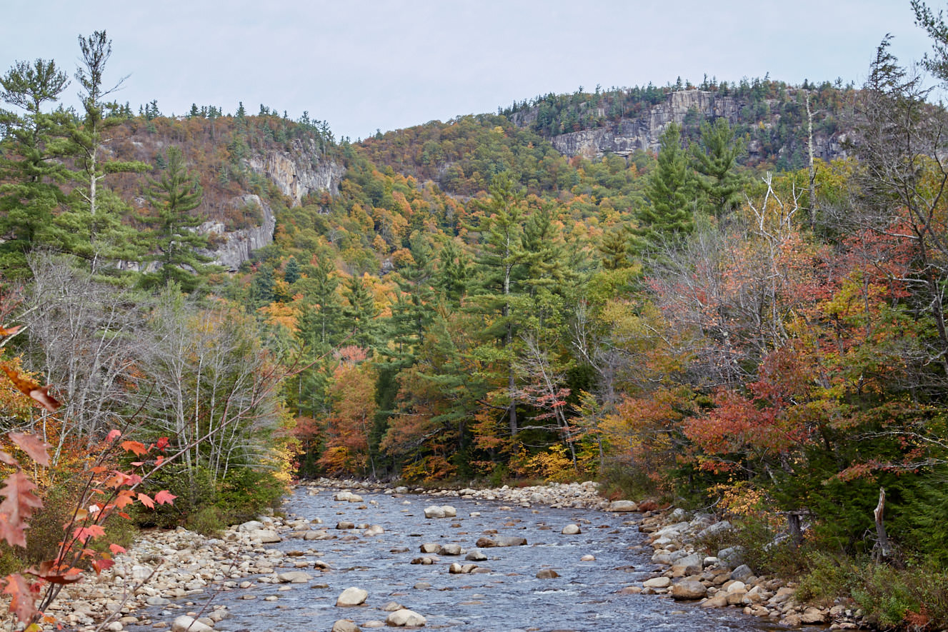
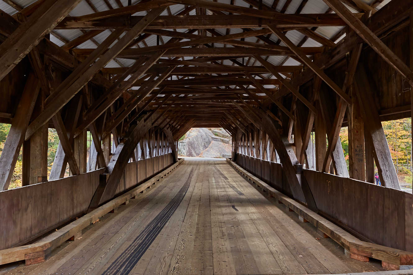
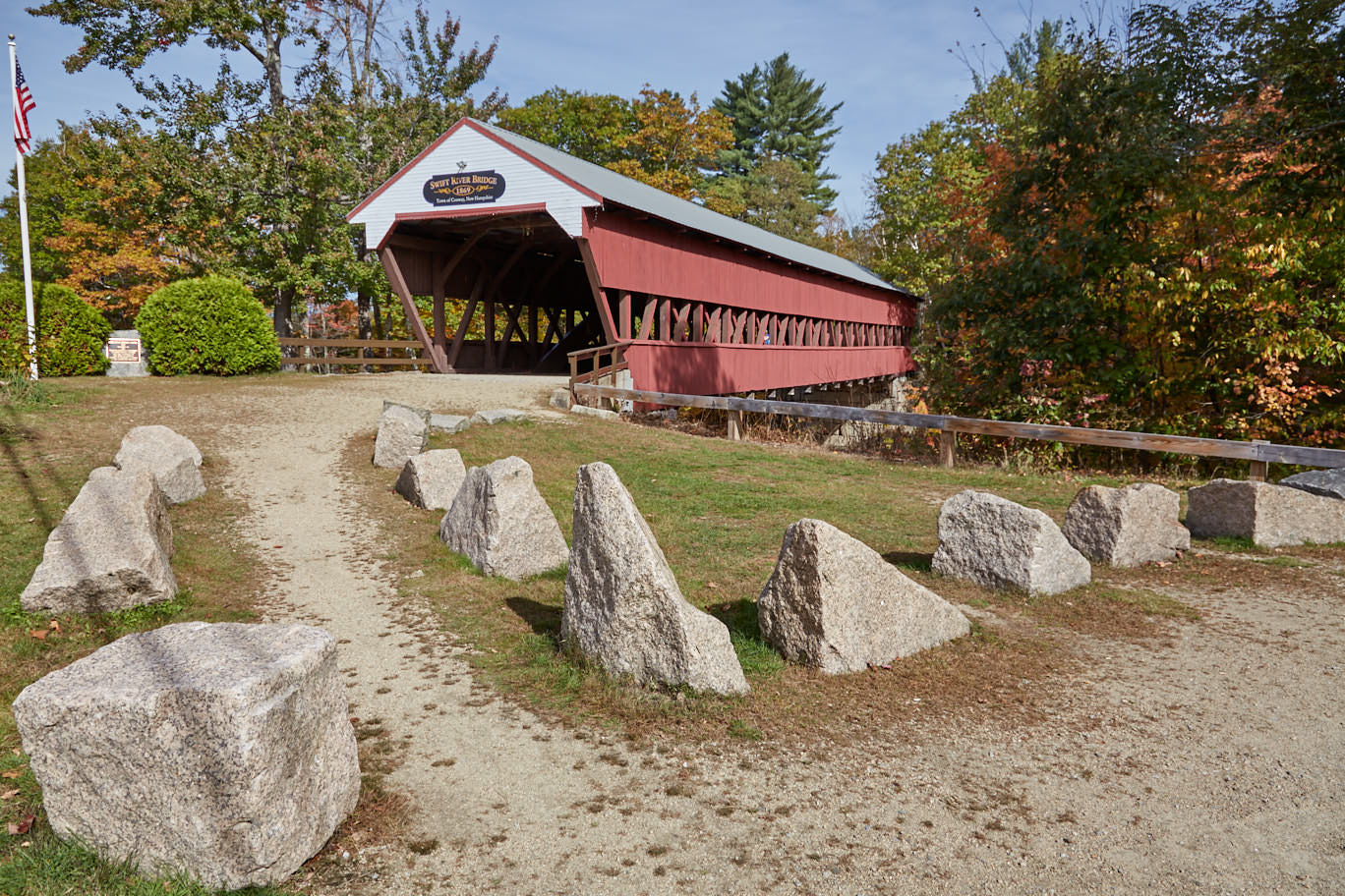
Swift River Bridge
Description: Another wooden bridge can be found to the west of Conway. The Swift River Bridge, built in 1870, also spans the Swift River. It has since been replaced by a concrete bridge and is no longer used by cars. There are a few parking lots right next to it, so you can reach the bridge very comfortably via a short walk to explore it.
Coordinate: Latitude 43.982780, Longitude -71.117668. For the GPS: West Side Rd, North Conway, NH 03860
Our rating: We also visited the Swift River Bridge in October 2013. Here, too, a short stop is worthwhile, because the Covered Bridges are already very typical for the area and always offer beautiful views and photo motifs.
☆☆☆☆☆Rated 3 out of 5
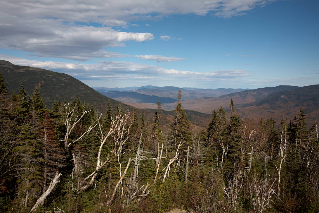
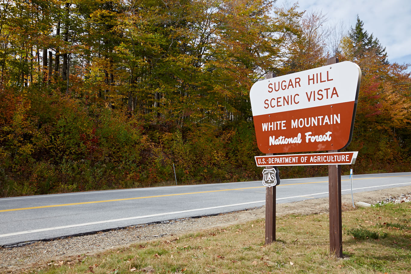
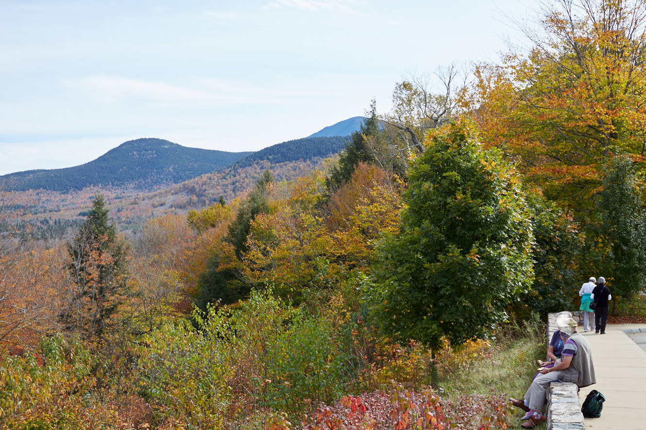
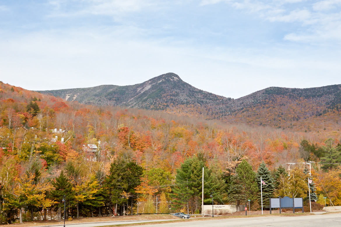
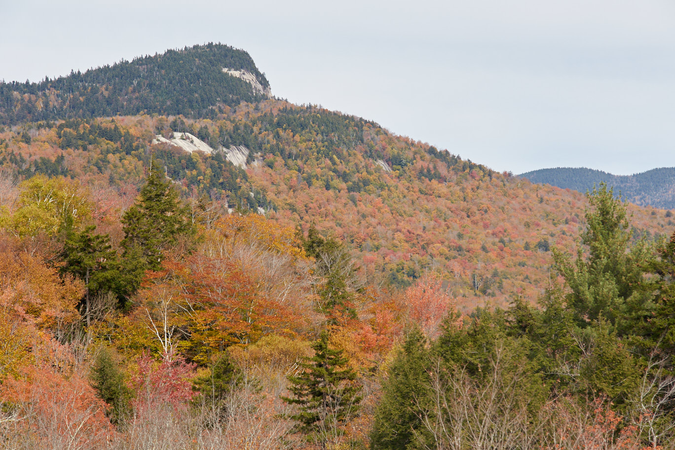
Sugar Hill View Point
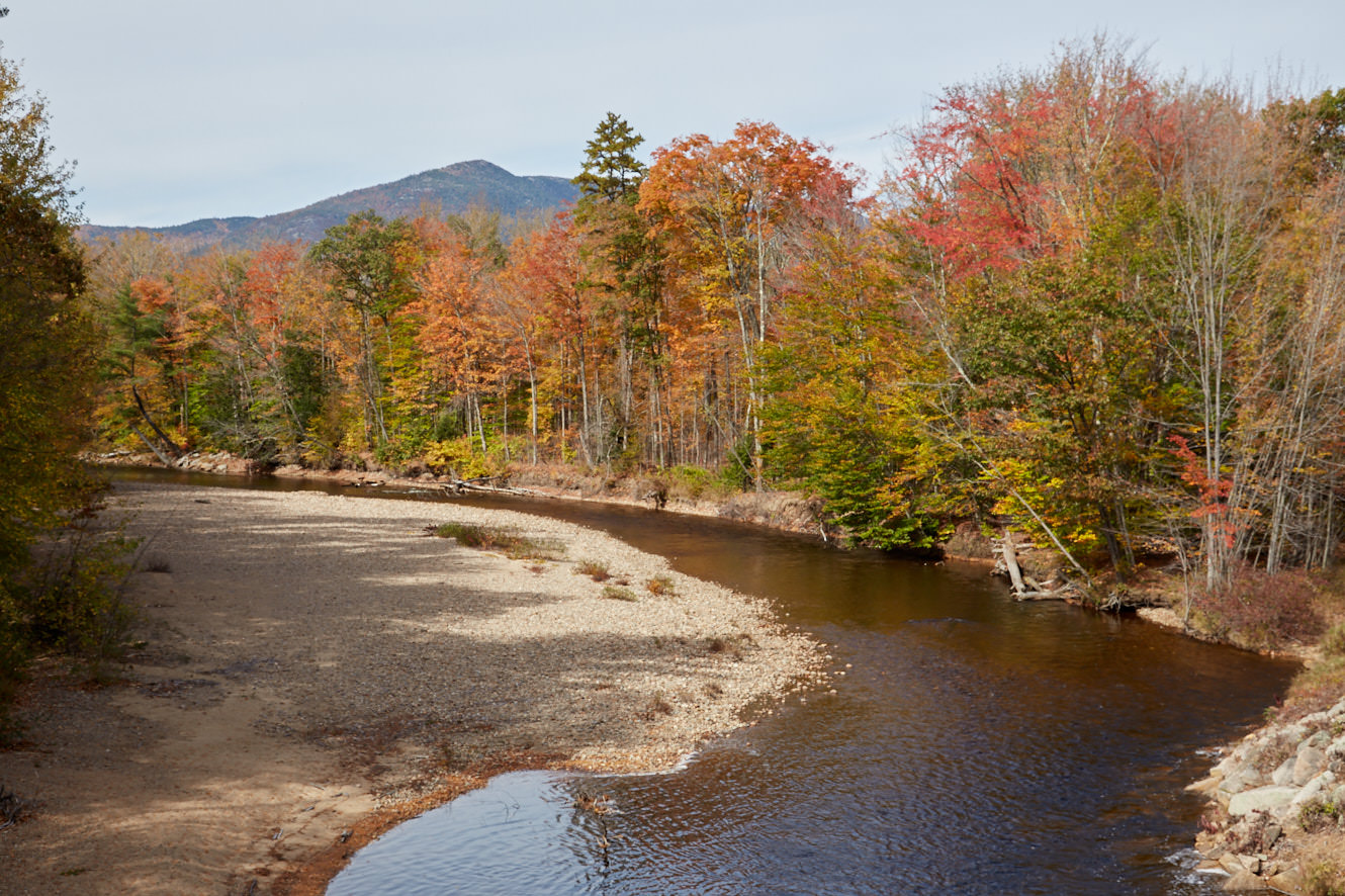
Description: Driving west on the Kancamagus Highway from Conway, you' ll come to the Sugar Hill Scenic Vista after 18mi. Here you have a great overview over the canopy of the White Mountains. Especially during the Indian Summer this is a wonderful experience.
Coordinate: Latitude 44.040851, Longitude -71.523471.
Our rating: Unfortunately, in October 2013 the peak of the leaf color was already a little past, so we could no longer enjoy the full color splendor. But even so, it was still a breathtaking view. The viewpoint is definitely worth a stop.
☆☆☆☆☆Rated 3.5 out of 5
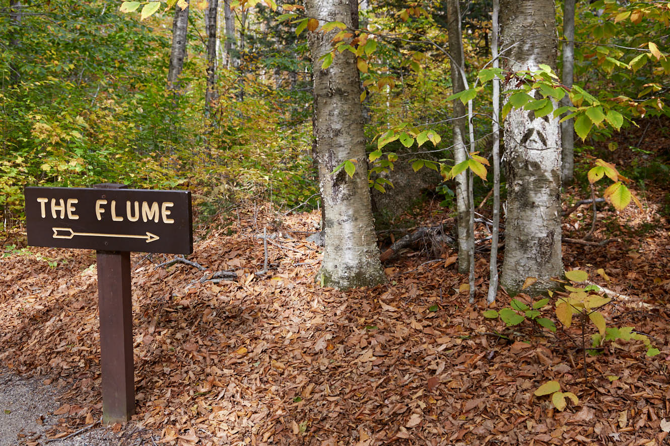
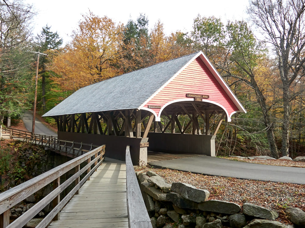
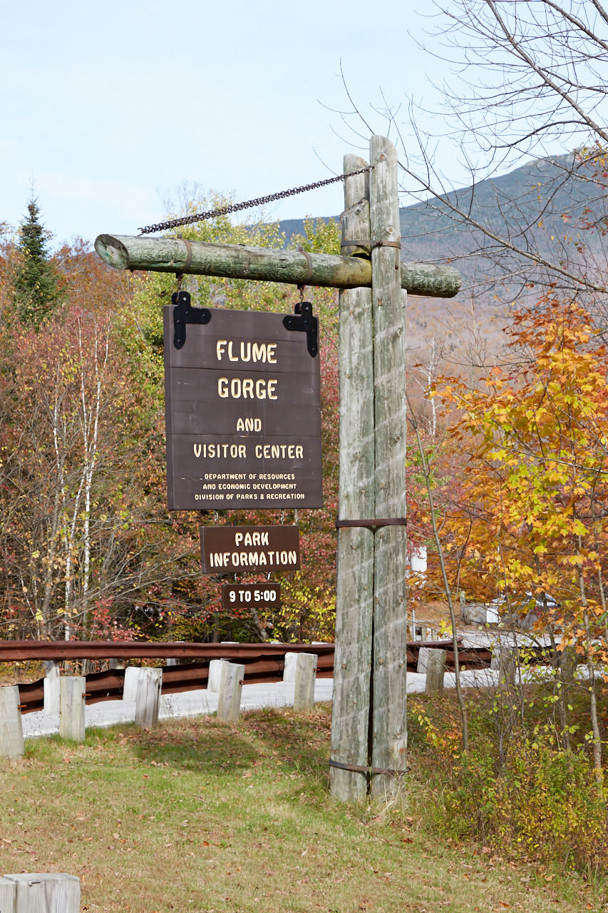
Franconia Notch State Park/Flume Gorge
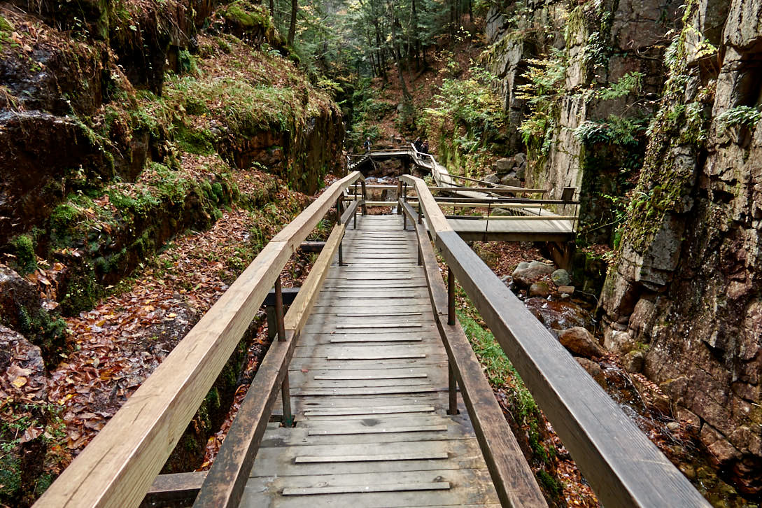
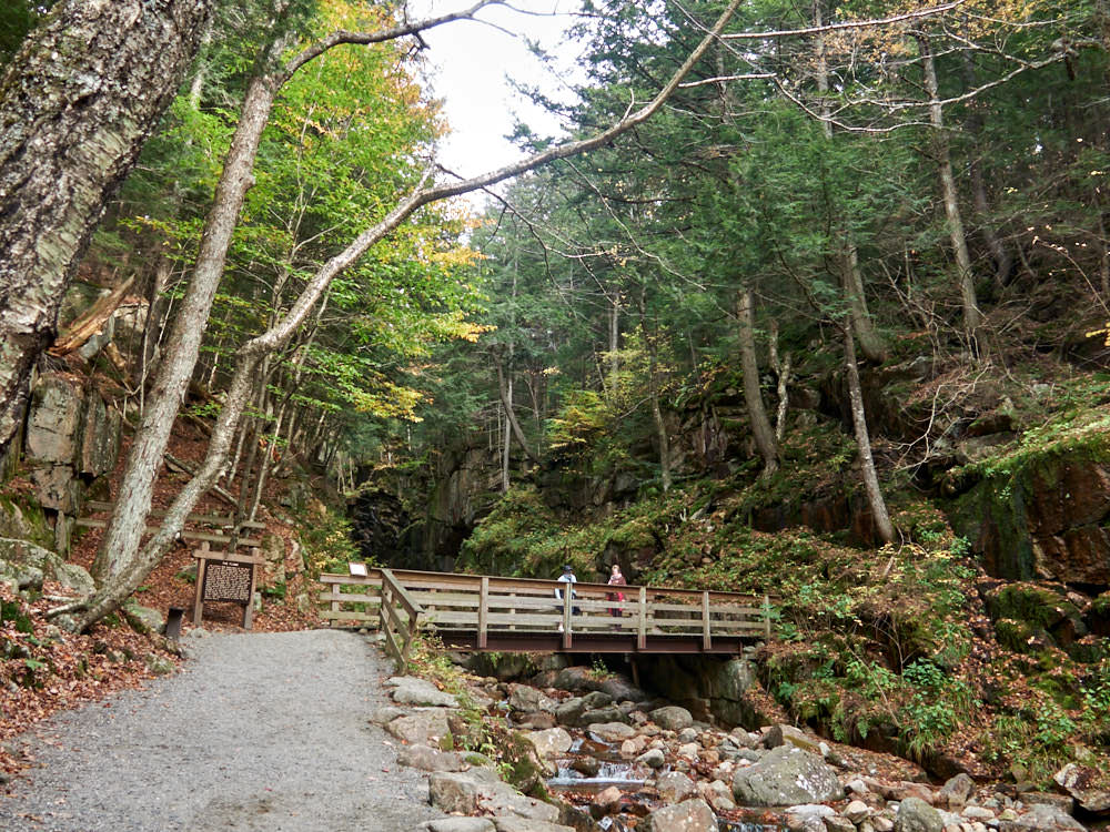
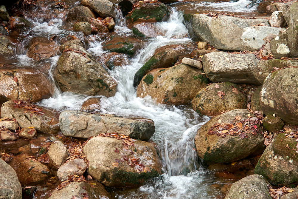
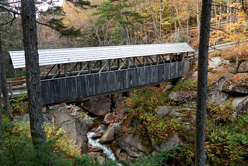
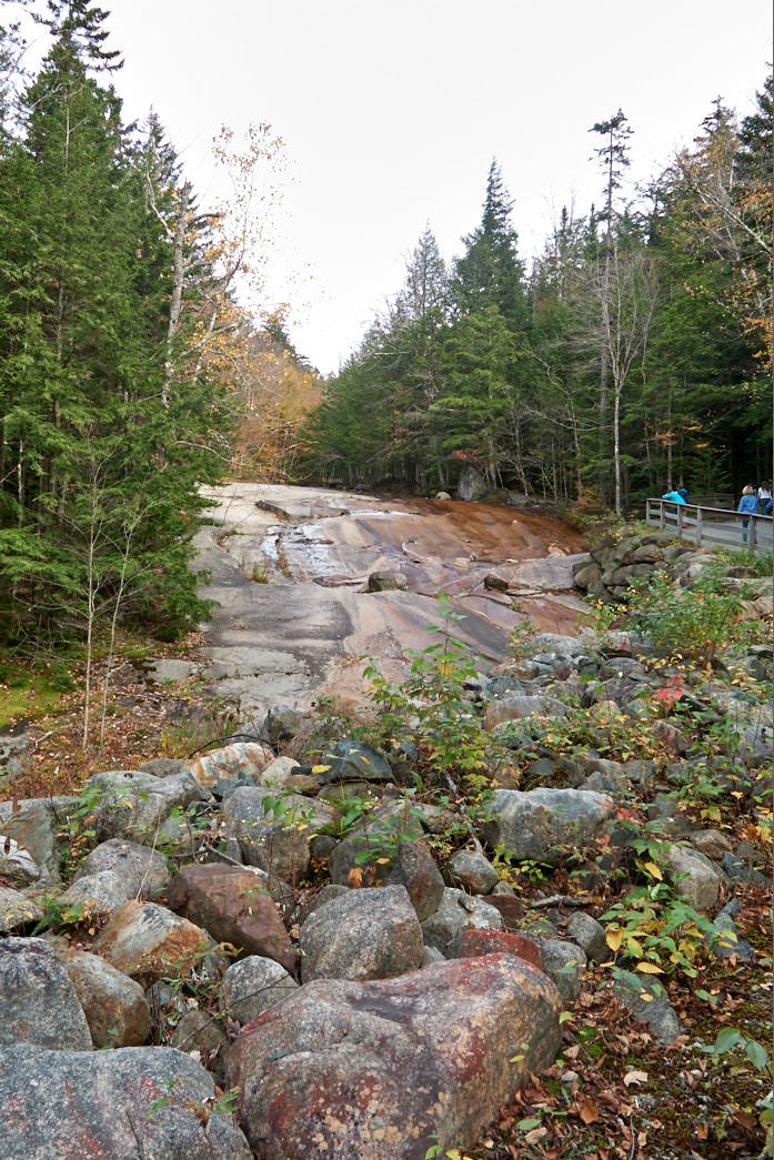
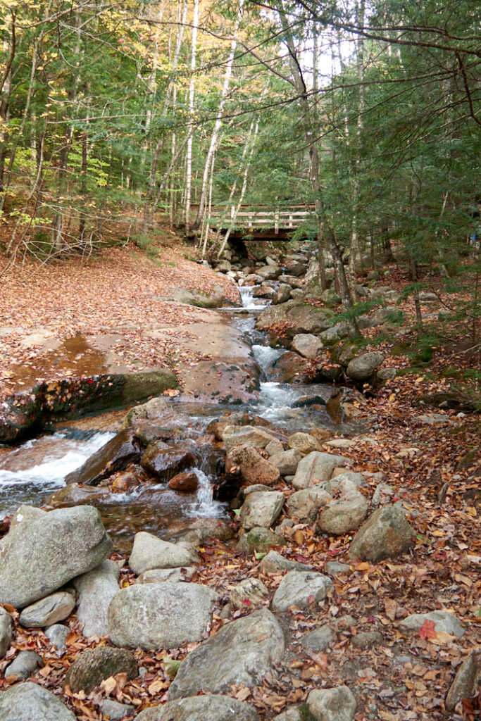
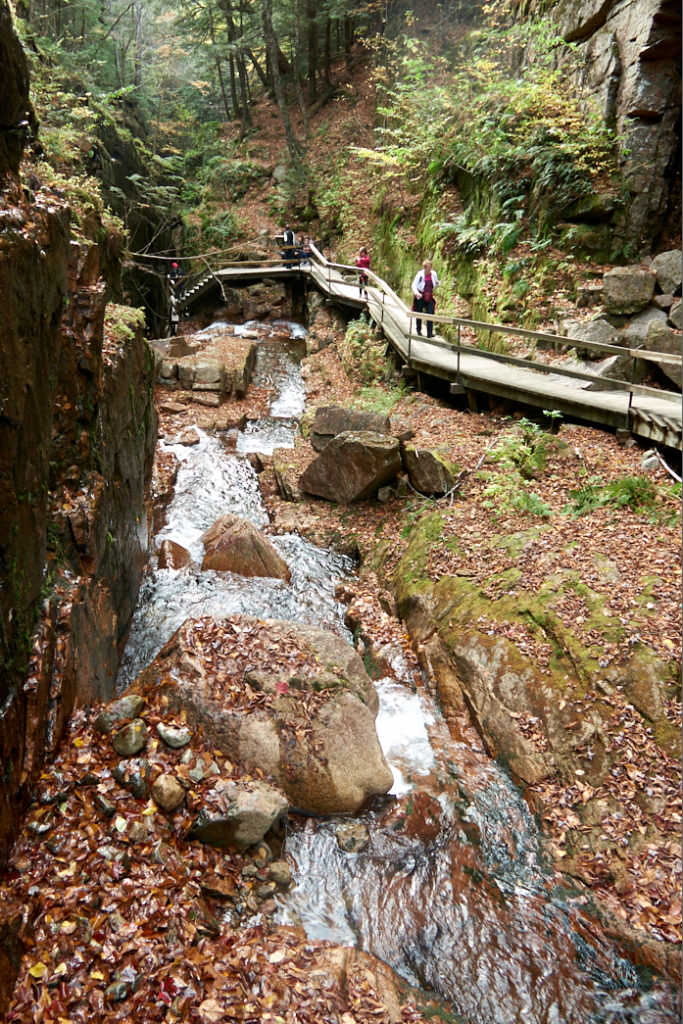
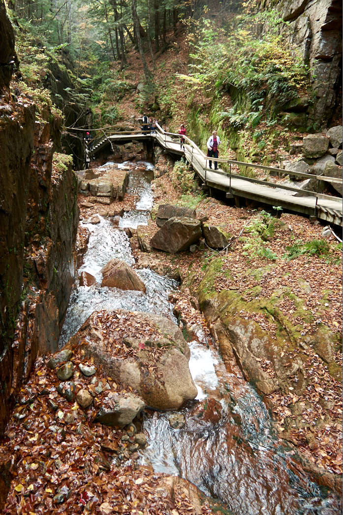
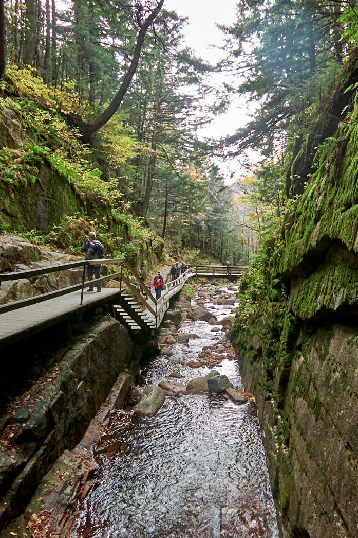
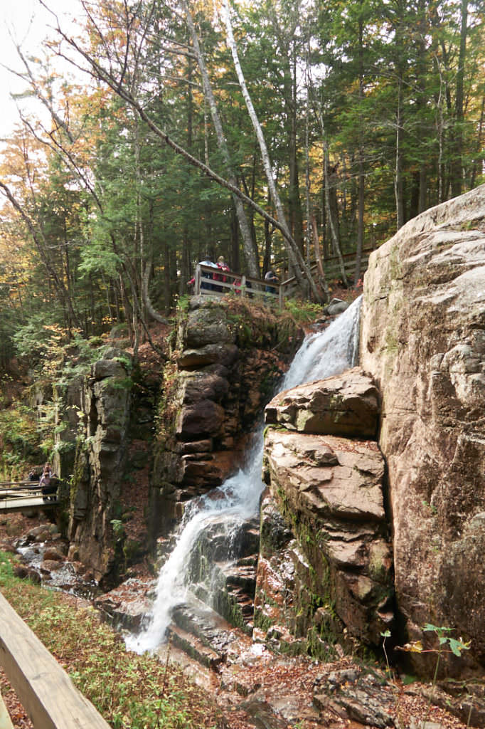
Description: Flume Gorge is a gorge in Franconia Notch SP. You can hike through it on a 2mi loop trail. The hike is always a little uphill and downhill, but since the trail is very well maintained, it is also very easy to walk. Besides two Covered Bridges there is also the very pretty Gorge to see. You hike between high granite walls up the small creek until you reach the Avalanche Falls. Here you have reached the turning point. Now it descends again, back to the Visitor Center and the parking lot.
Our rating: We really enjoyed the short hike along the gorge. It was not difficult and very varied. We can really recommend it to anyone who likes to walk a little through nature.
*The Anual Pass is so to speak the "flat rate" for all Parks managed by the National Park Service. The pass costs a one-time fee of $80 and can be purchased at the entrance to each National Park, National Monument, etc. The pass is valid for 13 months.
Flume Gorge
Flume Gorge
Flume Gorge
Flume Gorge
Flume Gorge
Between the granite walls of the Gorge.
Flume Gorge
Avalanche Falls
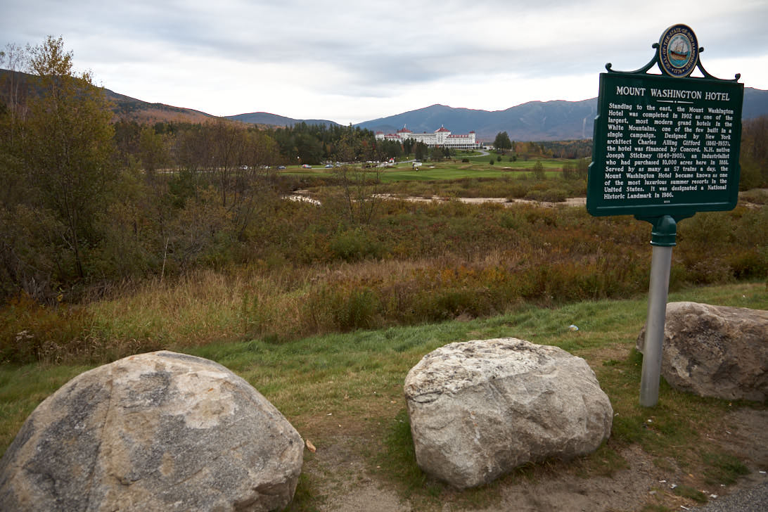
Mount Washington Hotel
Description: The Mount Washington Hotel was opened in 1902 and, with its very high standard for the time, was a meeting place for the rich and beautiful. With 352 rooms, it was the largest luxury hotel at the foot of the White Mountains. Even today it is still in operation and everyone who likes can afford a night in this beautiful, historic hotel. But even if you don't stay at the hotel, you can take a look at the lobby. The hotel has been a registered National Historic Landmark since 1986.
For the GPS: 310 Mount Washington Hotel Rd, Bretton Woods, NH 03575
Our rating: Since we have not stayed in the hotel, we have also looked at it only from the outside. However, with the White Mountains in the background it offers a nice view. Unfortunately, during our visit in autumn 2013 was not really good weather.
☆☆☆☆☆Rated 3 out of 5
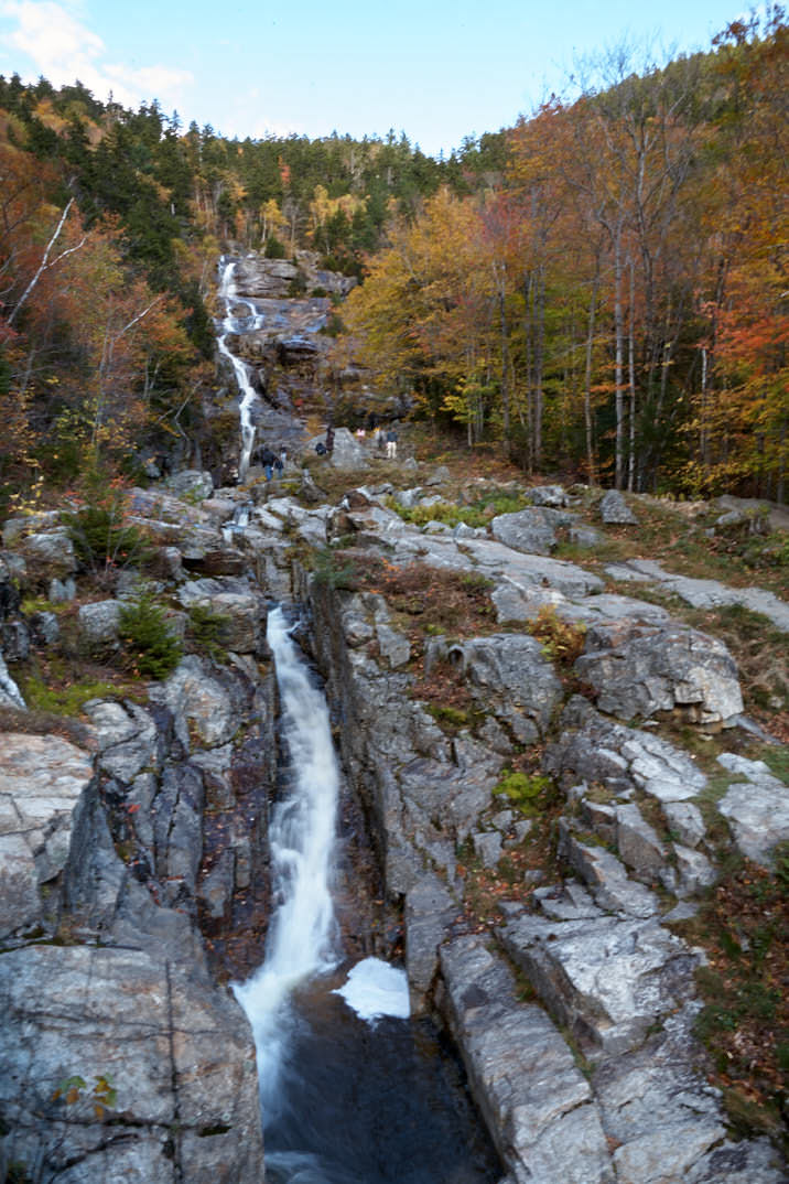
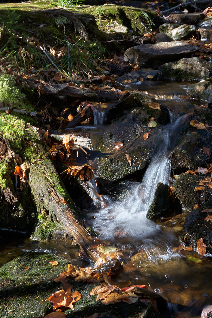
Silver Cascade - Crawford Notch SP
Description: The Silver Cascades flow in several cascades down the west flank of Mount Jackson. You can see them from the road. There are two spacious parking lots directly across the street, so you can take a few photos of the falls at your leisure. The visit is free of charge.
Coordinate: Latitude 44.206395, Longitude -71.403293.
Our rating: We made a quick stop at Crawford Notch SP in October 2010. They may not be the most spectacular waterfalls we have ever seen, but well worth a short stop.
☆☆☆☆☆Rated 3 out of 5
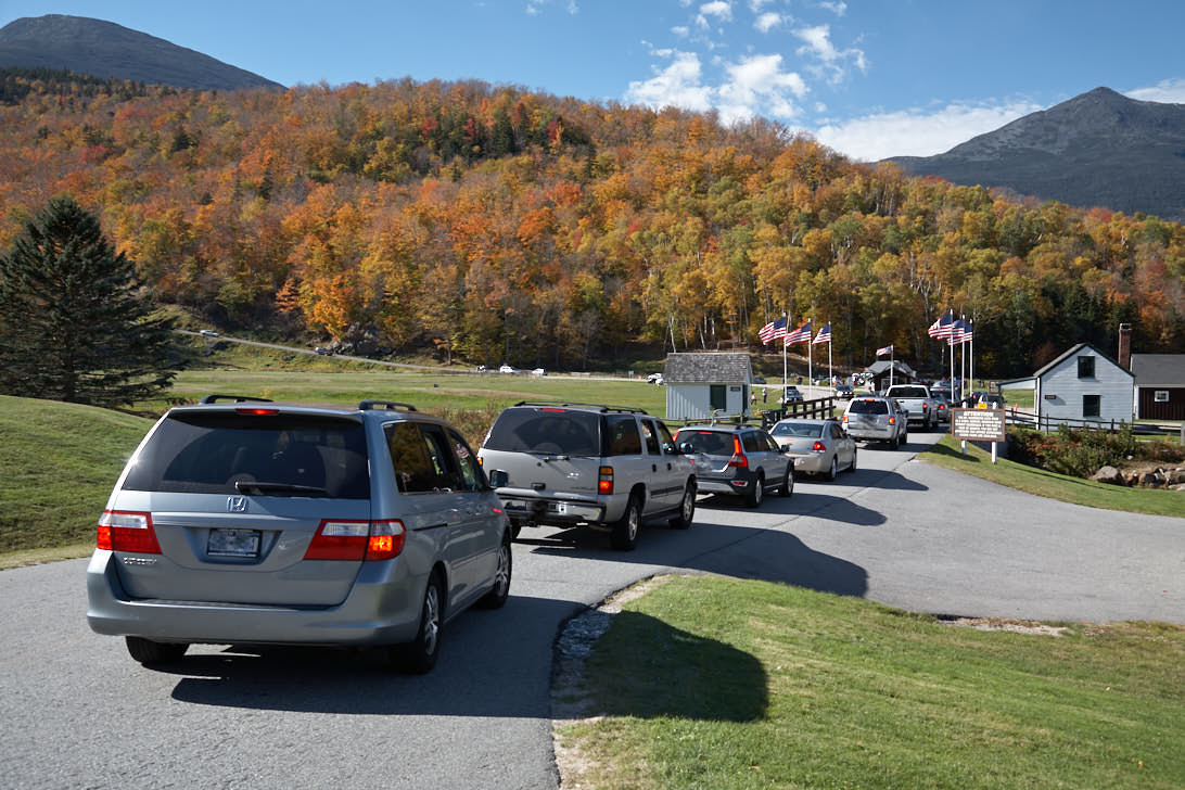
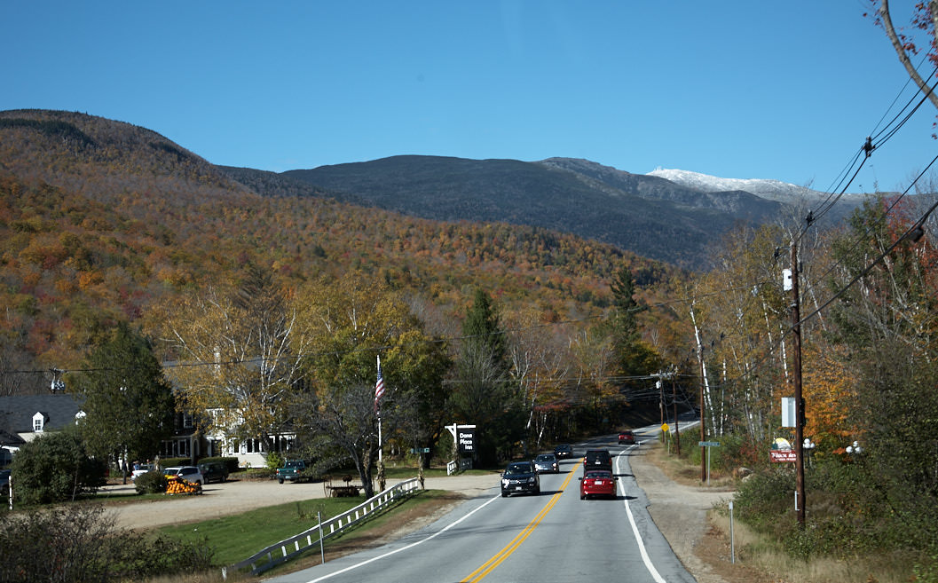
Mount Washington
Description: The 6289ft high Mount Washington is the highest mountain in the northeast of the USA. Because warm and cold air masses meet here, there is extreme weather on the summit almost all year round. In April 1934, for example, the highest wind speed ever measured on Earth was 231mi/h. The mountain can be hiked, climbed by rack railroad, or driven up by private car along the 7.5mi long private road. This is mostly possible between May and October. The ride up costs $31/car and includes an audio guide. Everything you need to know about a visit can be found on the official webpage.
Our rating: Unfortunately, we could only drive a small part of the road in October 2010, because the summit was already covered with snow. That's why we didn't really have the full experience. So we drove only a little through the forest until we arrived at a small viewpoint. Here we unfortunately had to turn back again. So the ride on Mt. Washington remains on our bucket list.


